Elevation of Gallagher Mountain, Montana, USA
Location: United States > Montana > Dillon >
Longitude: -112.71696
Latitude: 45.0163084
Elevation: 2578m / 8458feet
Barometric Pressure: 74KPa
Elevation Map:
Satellite Map:
Related Photos:
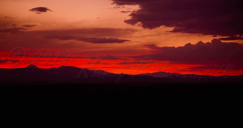
Montana Fire In the Sky
Topographic Map of Gallagher Mountain, Montana, USA
Find elevation by address:

Places near Gallagher Mountain, Montana, USA:
Grayling
Dillon, MT, USA
440 Falcon Rd
West Dillon Street
Dillon
721 E Bannack St
4970 Argenta Rd
Sweetwater Rd, Dillon, MT, USA
7500 Mt-91
Bannack
Bannack State Park
Bannack Bench Rd, Dillon, MT, USA
Grant
Humbolt Mountain
Limestone Mountain
Greenstone Mountain
Tower Mountain
Aspen Campground
Thunderhead Mountain
Beaverhead County
Recent Searches:
- Elevation of Corso Fratelli Cairoli, 35, Macerata MC, Italy
- Elevation of Tallevast Rd, Sarasota, FL, USA
- Elevation of 4th St E, Sonoma, CA, USA
- Elevation of Black Hollow Rd, Pennsdale, PA, USA
- Elevation of Oakland Ave, Williamsport, PA, USA
- Elevation of Pedrógão Grande, Portugal
- Elevation of Klee Dr, Martinsburg, WV, USA
- Elevation of Via Roma, Pieranica CR, Italy
- Elevation of Tavkvetili Mountain, Georgia
- Elevation of Hartfords Bluff Cir, Mt Pleasant, SC, USA