Elevation of Argenta Rd, Dillon, MT, USA
Location: United States > Montana > Dillon >
Longitude: -112.85660
Latitude: 45.2787405
Elevation: 1862m / 6109feet
Barometric Pressure: 81KPa
Elevation Map:
Satellite Map:
Related Photos:

East Pioneer Mountains. Montana

Baldy Mountain. Montana.
BW version
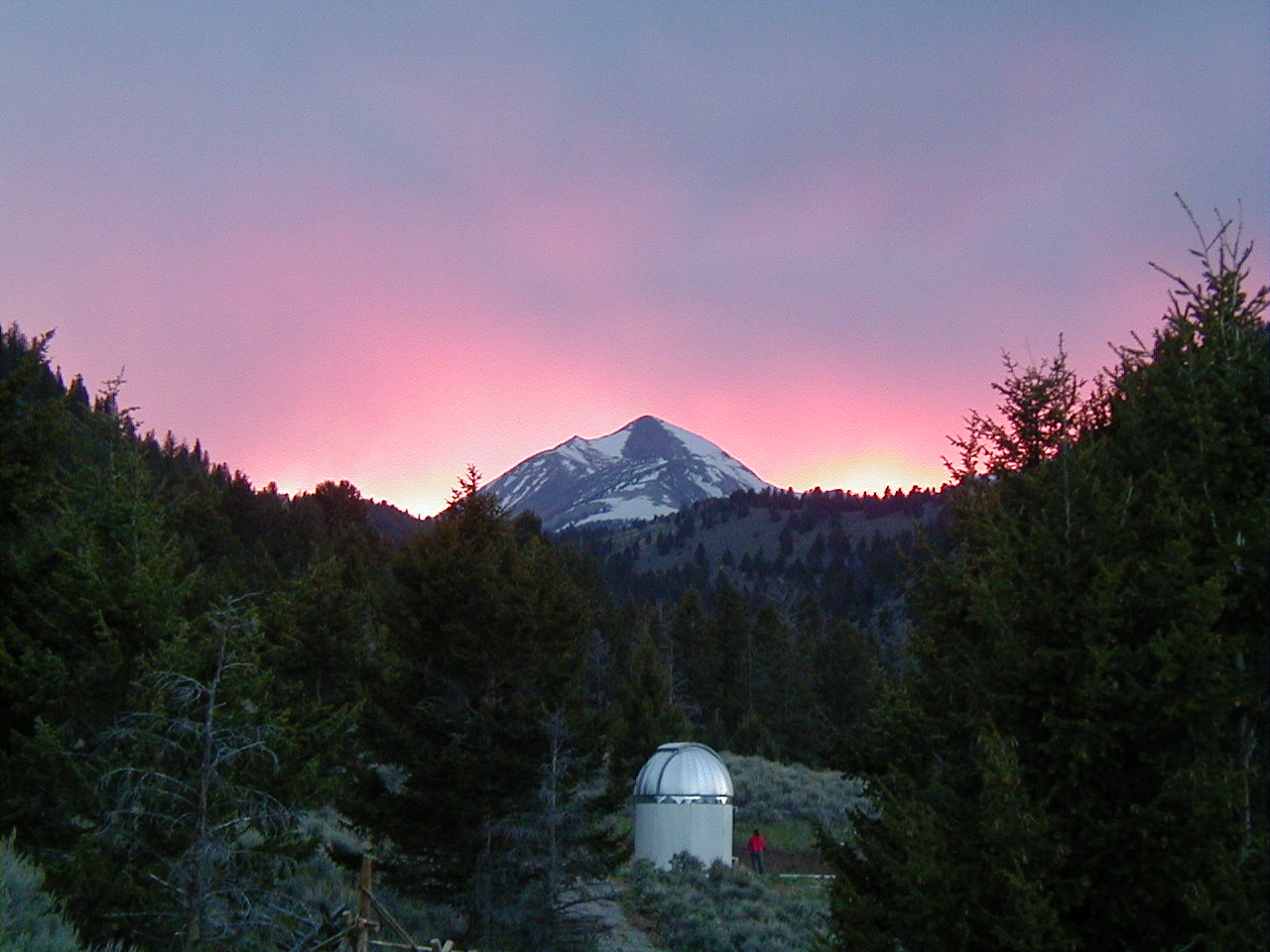
Mt. Torre sunset

Frying Pan Gulch

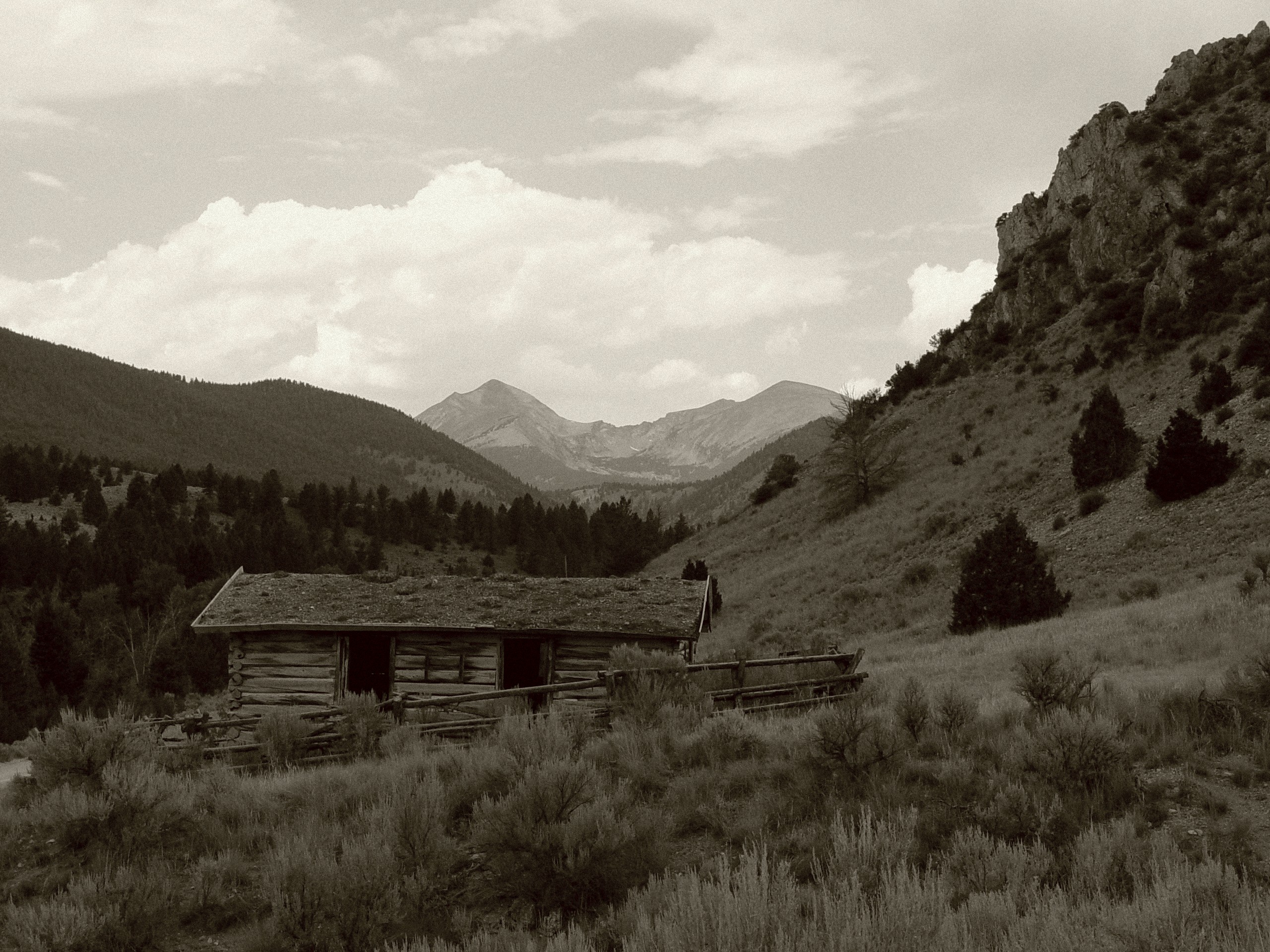
School House
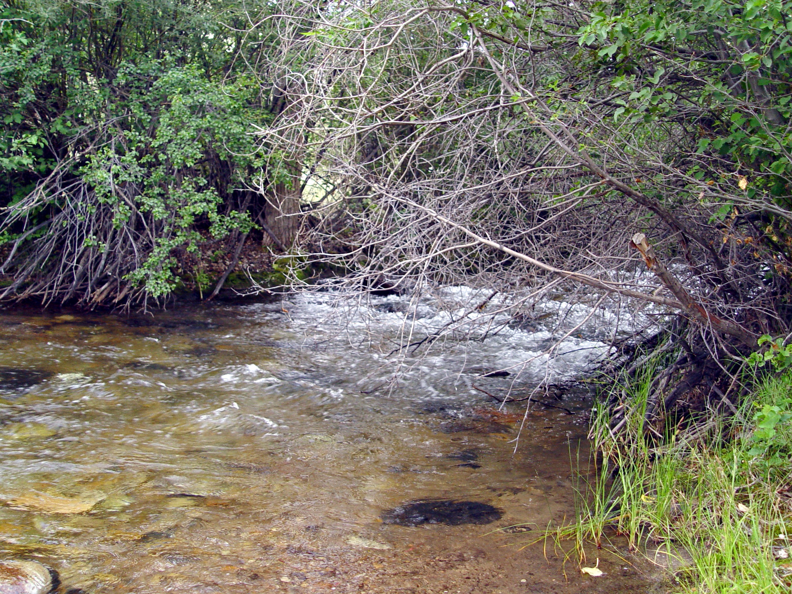
Small rapids

Mt. Torre, Pioneer Mountains

janet and erik

Birch Creek valley
Topographic Map of Argenta Rd, Dillon, MT, USA
Find elevation by address:

Places near Argenta Rd, Dillon, MT, USA:
Humbolt Mountain
Tower Mountain
Limestone Mountain
Aspen Campground
Greenstone Mountain
Thunderhead Mountain
Bannack
Bannack State Park
Tent Mountain
Bannack Bench Rd, Dillon, MT, USA
Alturas No. 2 Mountain
Alturas No. 1 Mountain
Twin Adams Mountain West
Twin Adams Mountain East
Highboy Mountain
Torrey Mountain
Call Mountain
7500 Mt-91
West Dillon Street
Dillon
Recent Searches:
- Elevation of Corso Fratelli Cairoli, 35, Macerata MC, Italy
- Elevation of Tallevast Rd, Sarasota, FL, USA
- Elevation of 4th St E, Sonoma, CA, USA
- Elevation of Black Hollow Rd, Pennsdale, PA, USA
- Elevation of Oakland Ave, Williamsport, PA, USA
- Elevation of Pedrógão Grande, Portugal
- Elevation of Klee Dr, Martinsburg, WV, USA
- Elevation of Via Roma, Pieranica CR, Italy
- Elevation of Tavkvetili Mountain, Georgia
- Elevation of Hartfords Bluff Cir, Mt Pleasant, SC, USA