Elevation of Grant, IA, USA
Location: United States > Iowa > Boone County >
Longitude: -94.089991
Latitude: 42.1832604
Elevation: 349m / 1145feet
Barometric Pressure: 97KPa
Elevation Map:
Satellite Map:
Related Photos:
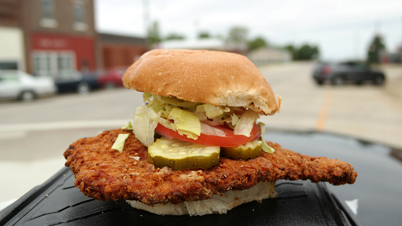
Breaded Pork Tenderloin Sandwich from 209 Main Bar in Paton, Iowa
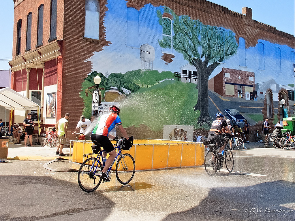
Water Spray in the Town of Dayton, Iowa. RAGBRAI XL.
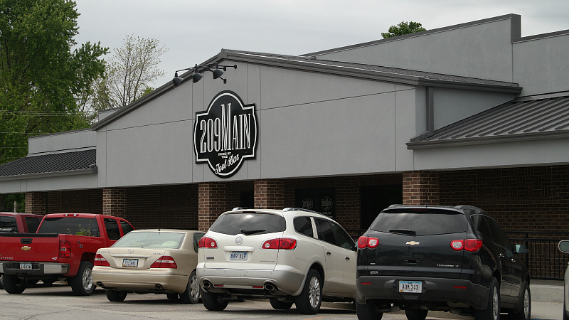
209 Main Bar in Paton, Iowa
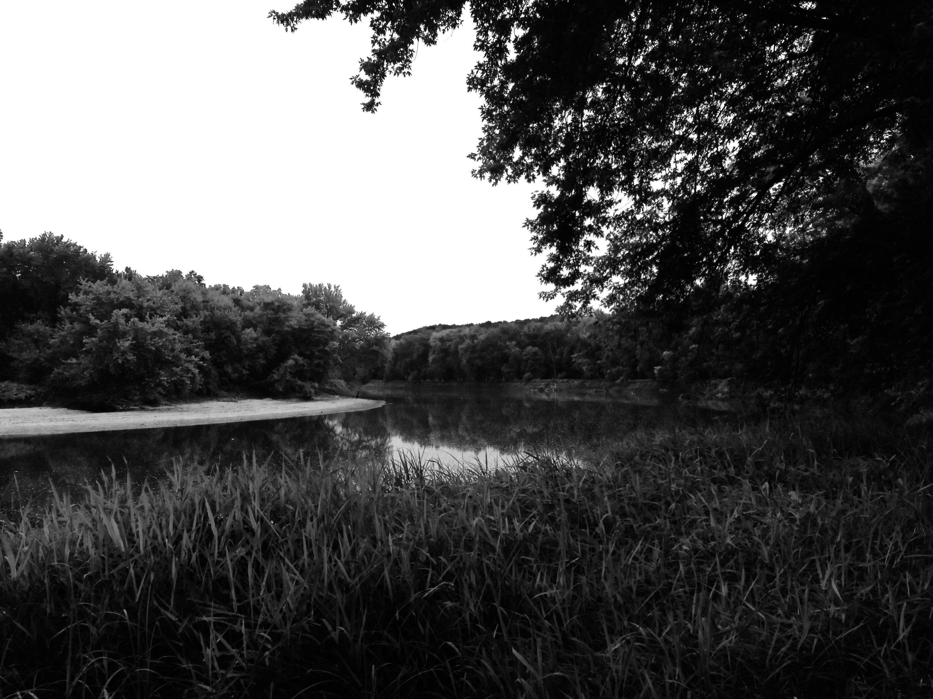
Des Moines River near Boone, IA
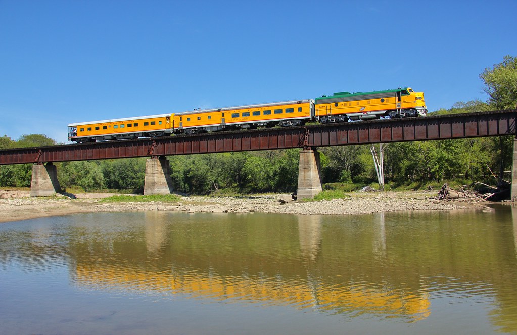
Boone & Scenic Valley RR
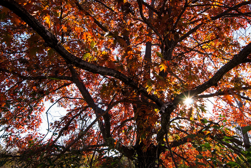
under the red tree

up the red tree
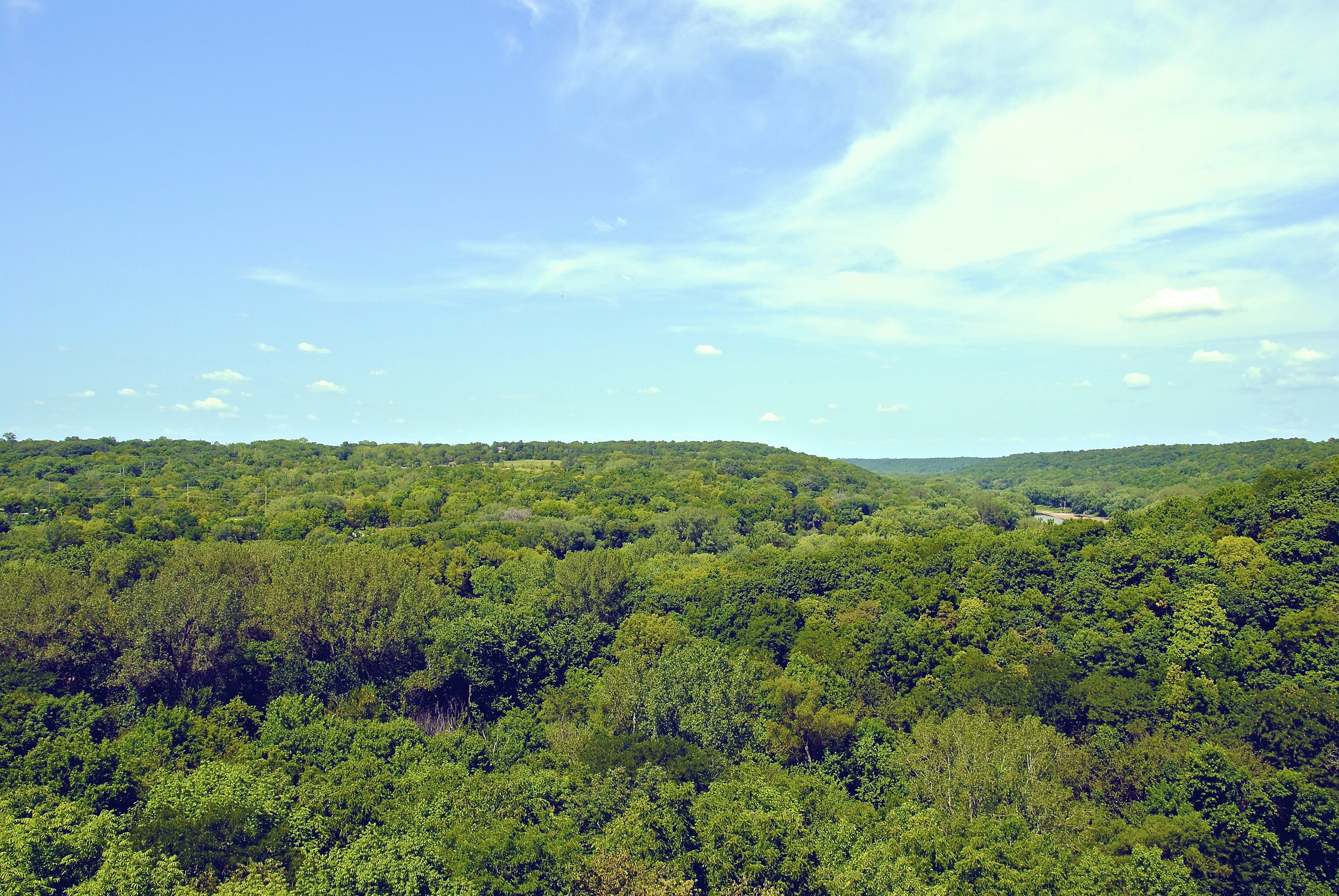
This must be the scenic valley.
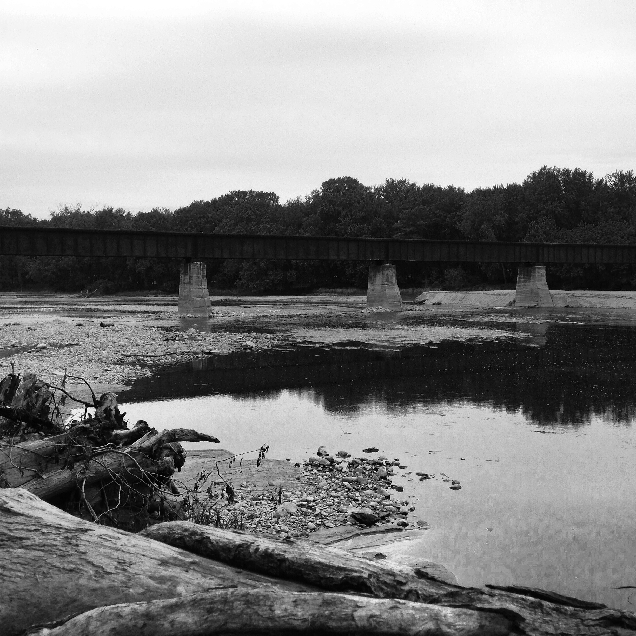
Des Moines River near Boone, IA
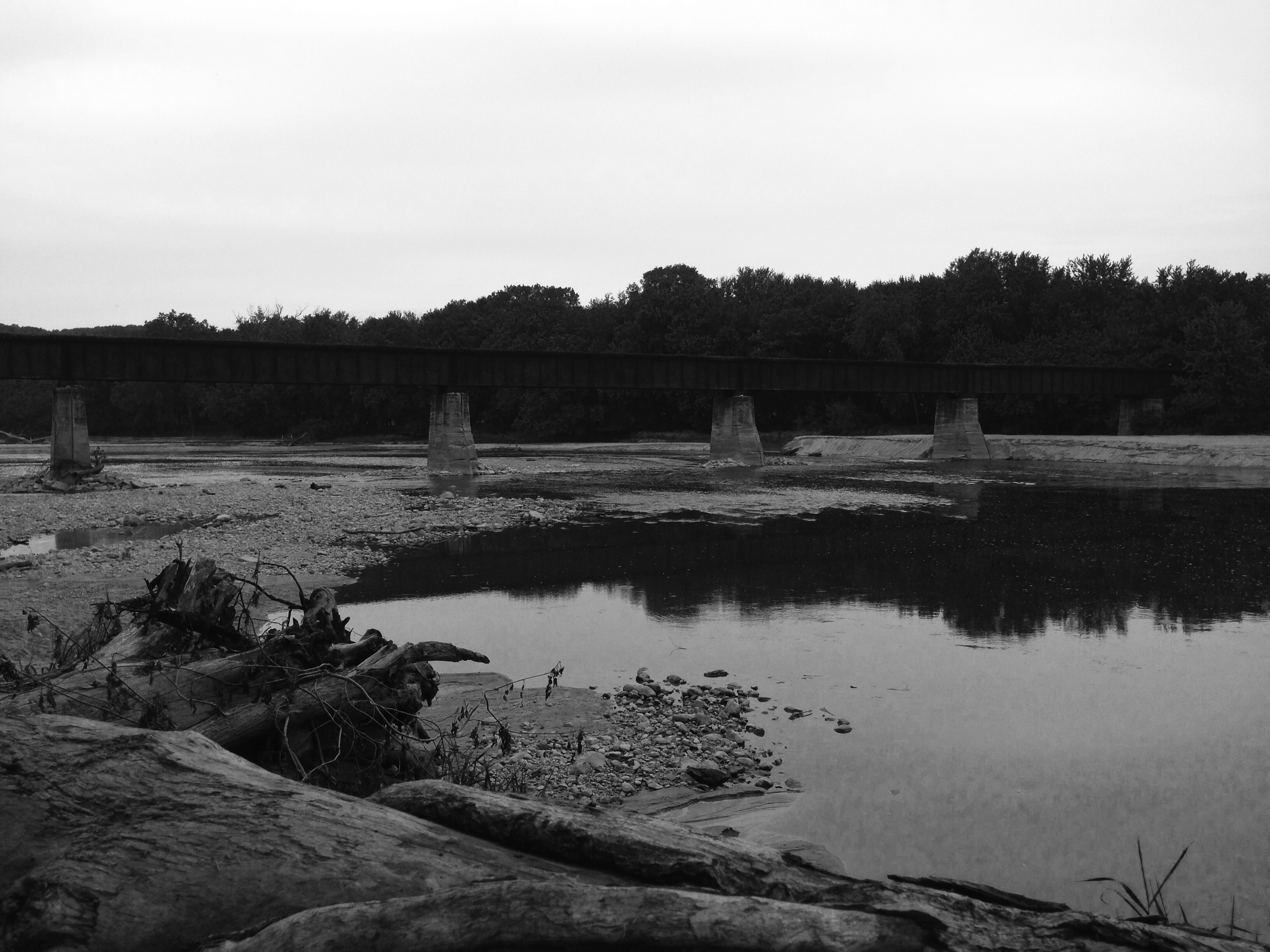
Des Moines River near Boone, IA

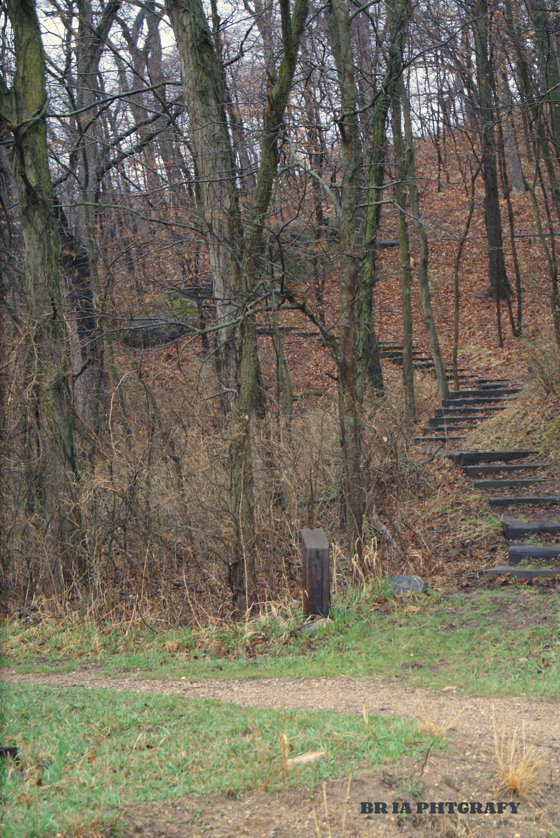
Camp Hertko Hollow

Camp Hertko Hollow

lit red tree
Up or Across
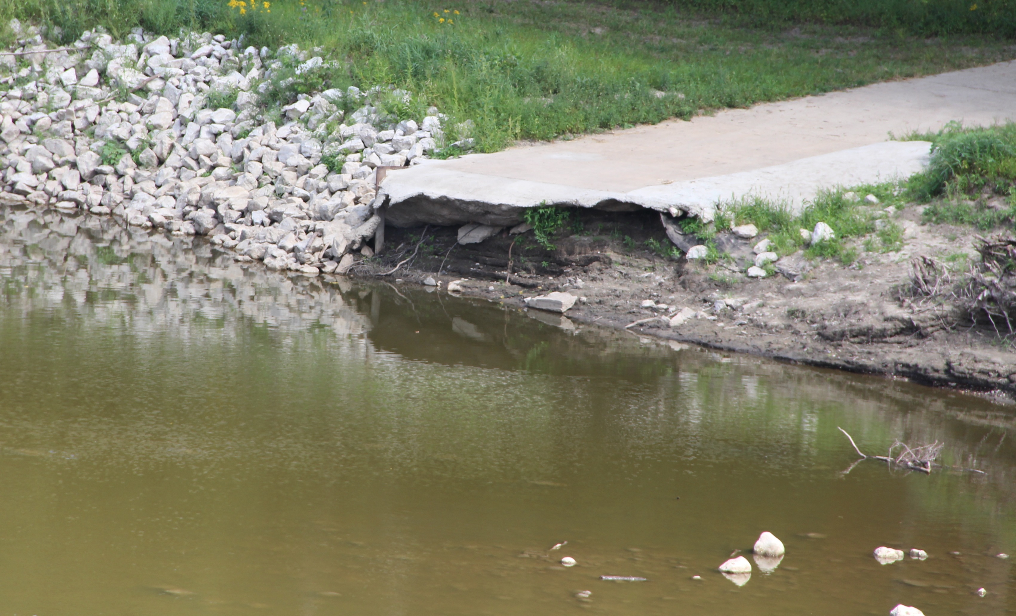
Drop off
#nature #TagsForLikes #sky #sun #summer #beach #beautiful #pretty #sunset #sunrise #blue #flowers #night #tree #twilight #clouds #beauty #light #cloudporn #photooftheday #love #green #skylovers #nofilter #weather #day #red #iphonesia #mothernature
Topographic Map of Grant, IA, USA
Find elevation by address:

Places in Grant, IA, USA:
Places near Grant, IA, USA:
D Ave, Boxholm, IA, USA
Boxholm
Boone County
Yell
Ogden
County E51 Rd, Ogden, IA, USA
1248 G Ave
1248 I Ave
1248 I Ave
1248 I Ave
1248 I Ave
1248 I Ave
Marcy
Des Moines
Boone
Story St, Boone, IA, USA
Main St, Rippey, IA, USA
Rippey
Washington
Worth
Recent Searches:
- Elevation of Corso Fratelli Cairoli, 35, Macerata MC, Italy
- Elevation of Tallevast Rd, Sarasota, FL, USA
- Elevation of 4th St E, Sonoma, CA, USA
- Elevation of Black Hollow Rd, Pennsdale, PA, USA
- Elevation of Oakland Ave, Williamsport, PA, USA
- Elevation of Pedrógão Grande, Portugal
- Elevation of Klee Dr, Martinsburg, WV, USA
- Elevation of Via Roma, Pieranica CR, Italy
- Elevation of Tavkvetili Mountain, Georgia
- Elevation of Hartfords Bluff Cir, Mt Pleasant, SC, USA