Elevation of Boone County, IA, USA
Location: United States > Iowa >
Longitude: -93.987842
Latitude: 42.0881747
Elevation: 334m / 1096feet
Barometric Pressure: 97KPa
Elevation Map:
Satellite Map:
Related Photos:
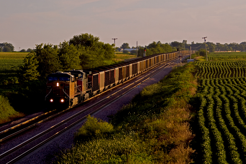
UP 6669 in a hazy sunset
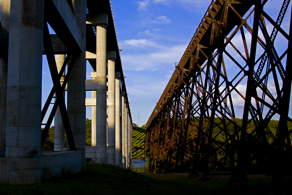
Kate and Kate Jr
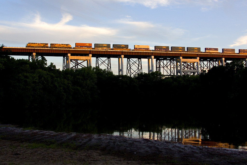
UP 7364 over the new Kate
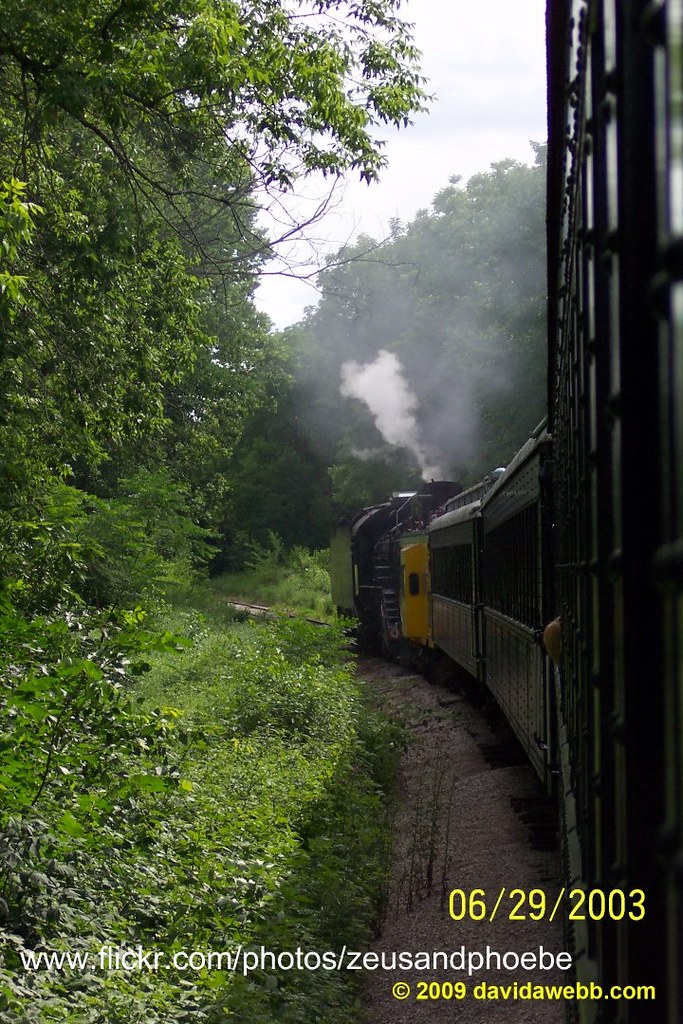
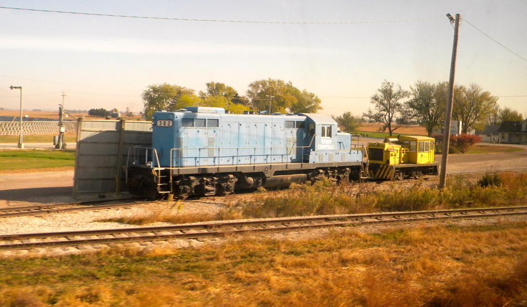
Riding the rails in Iowa
Iowa: Engines at Corn Handling Facilities
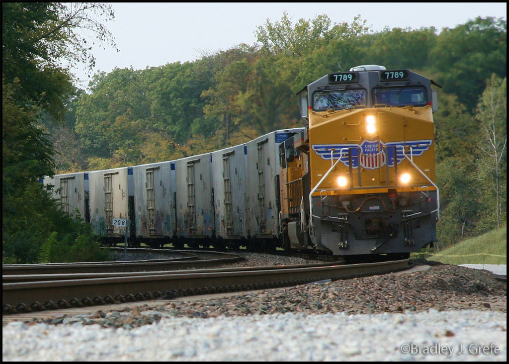
UP 7789 - KSHB - Boone Co., IA
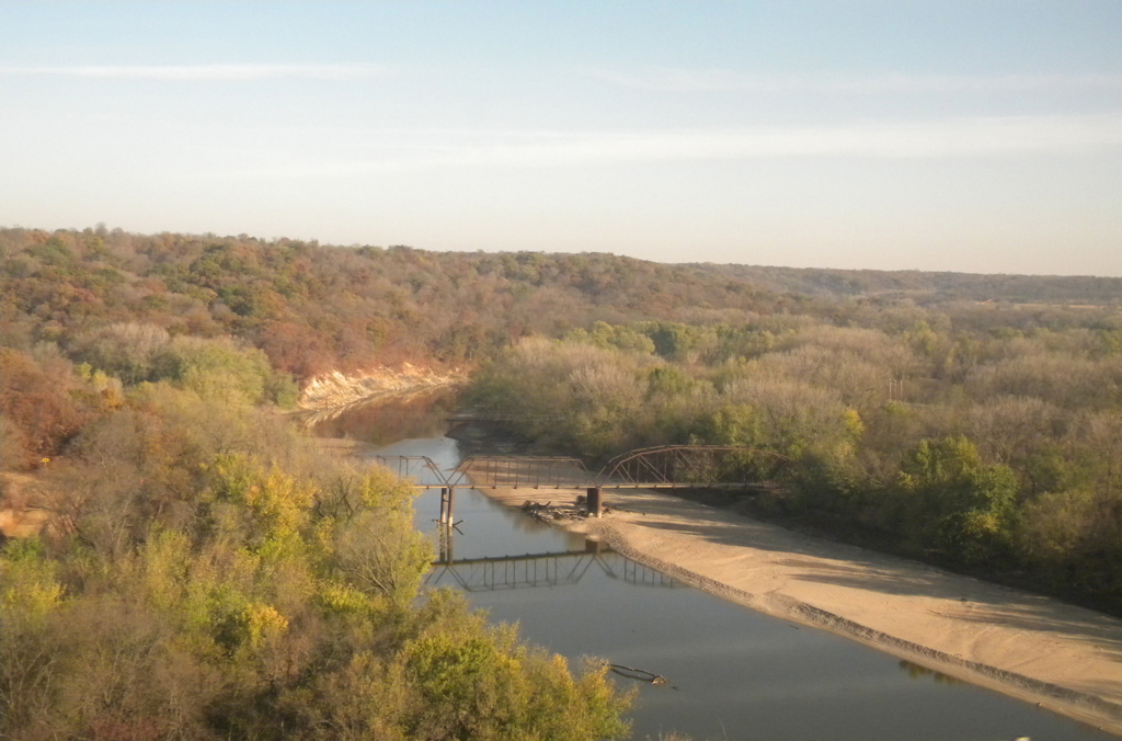
View From Wagon Wheel Bridge
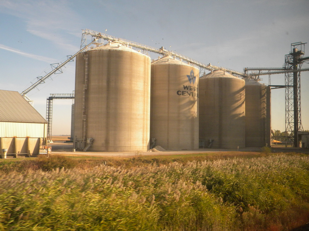
Iowa: Corn Handling Facilities
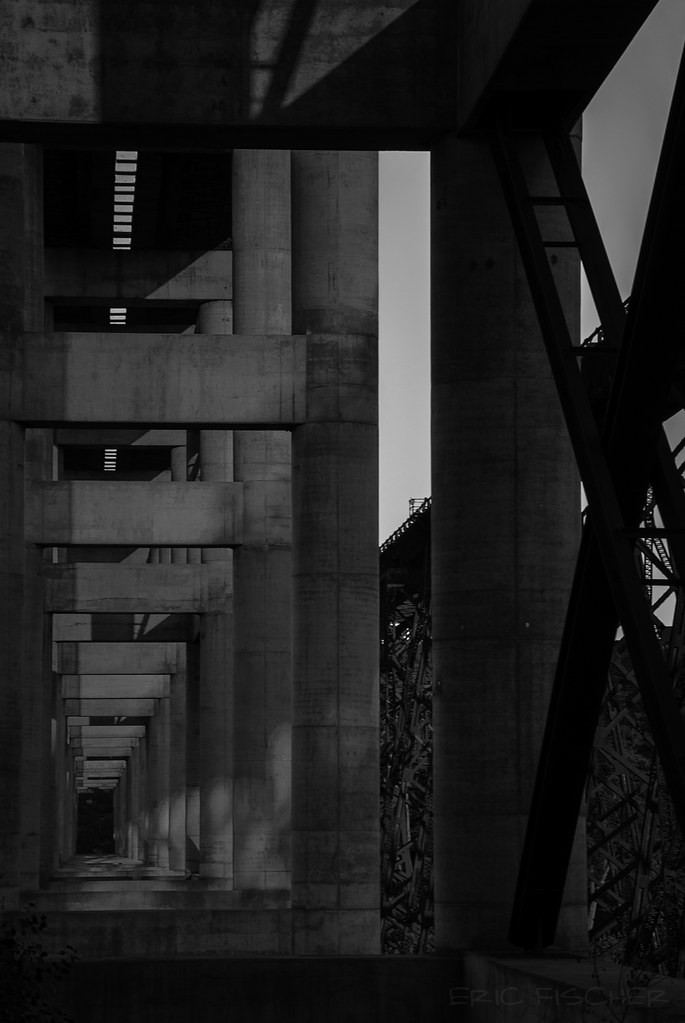
Kate Shelley Tunnel

Kate Shelley Viaduct
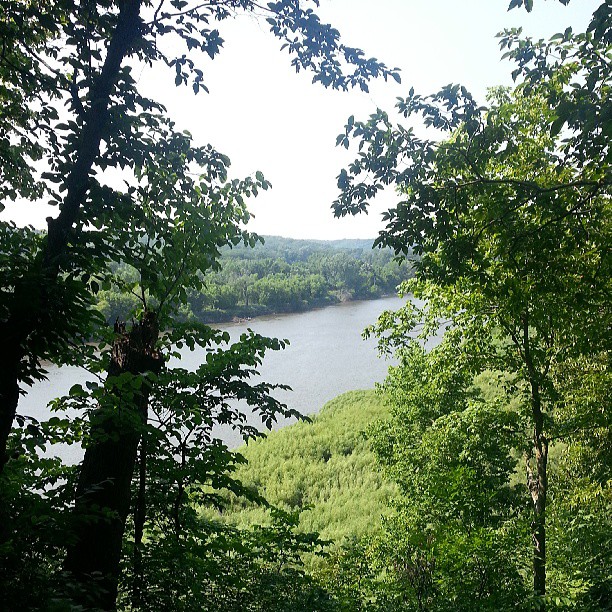
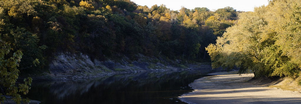
..with a breathtaking view of tge Boone River
Iowa: Boone

259/366 September 16th: Sanctuary

249/366 September 6th: Kruck Sign at Dusk
Topographic Map of Boone County, IA, USA
Find elevation by address:

Places in Boone County, IA, USA:
Places near Boone County, IA, USA:
Yell
1248 I Ave
1248 I Ave
1248 I Ave
1248 I Ave
1248 I Ave
County E51 Rd, Ogden, IA, USA
Ogden
1248 G Ave
Marcy
Des Moines
Boone
Story St, Boone, IA, USA
Grant
D Ave, Boxholm, IA, USA
Boxholm
Worth
Luther
Luther St, Madrid, IA, USA
S Beaver Ave, Bouton, IA, USA
Recent Searches:
- Elevation of Corso Fratelli Cairoli, 35, Macerata MC, Italy
- Elevation of Tallevast Rd, Sarasota, FL, USA
- Elevation of 4th St E, Sonoma, CA, USA
- Elevation of Black Hollow Rd, Pennsdale, PA, USA
- Elevation of Oakland Ave, Williamsport, PA, USA
- Elevation of Pedrógão Grande, Portugal
- Elevation of Klee Dr, Martinsburg, WV, USA
- Elevation of Via Roma, Pieranica CR, Italy
- Elevation of Tavkvetili Mountain, Georgia
- Elevation of Hartfords Bluff Cir, Mt Pleasant, SC, USA