Elevation of Worth, IA, USA
Location: United States > Iowa > Boone County >
Longitude: -93.845173
Latitude: 41.9941744
Elevation: 341m / 1119feet
Barometric Pressure: 97KPa
Elevation Map:
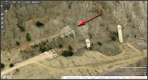
Satellite Map:
Related Photos:
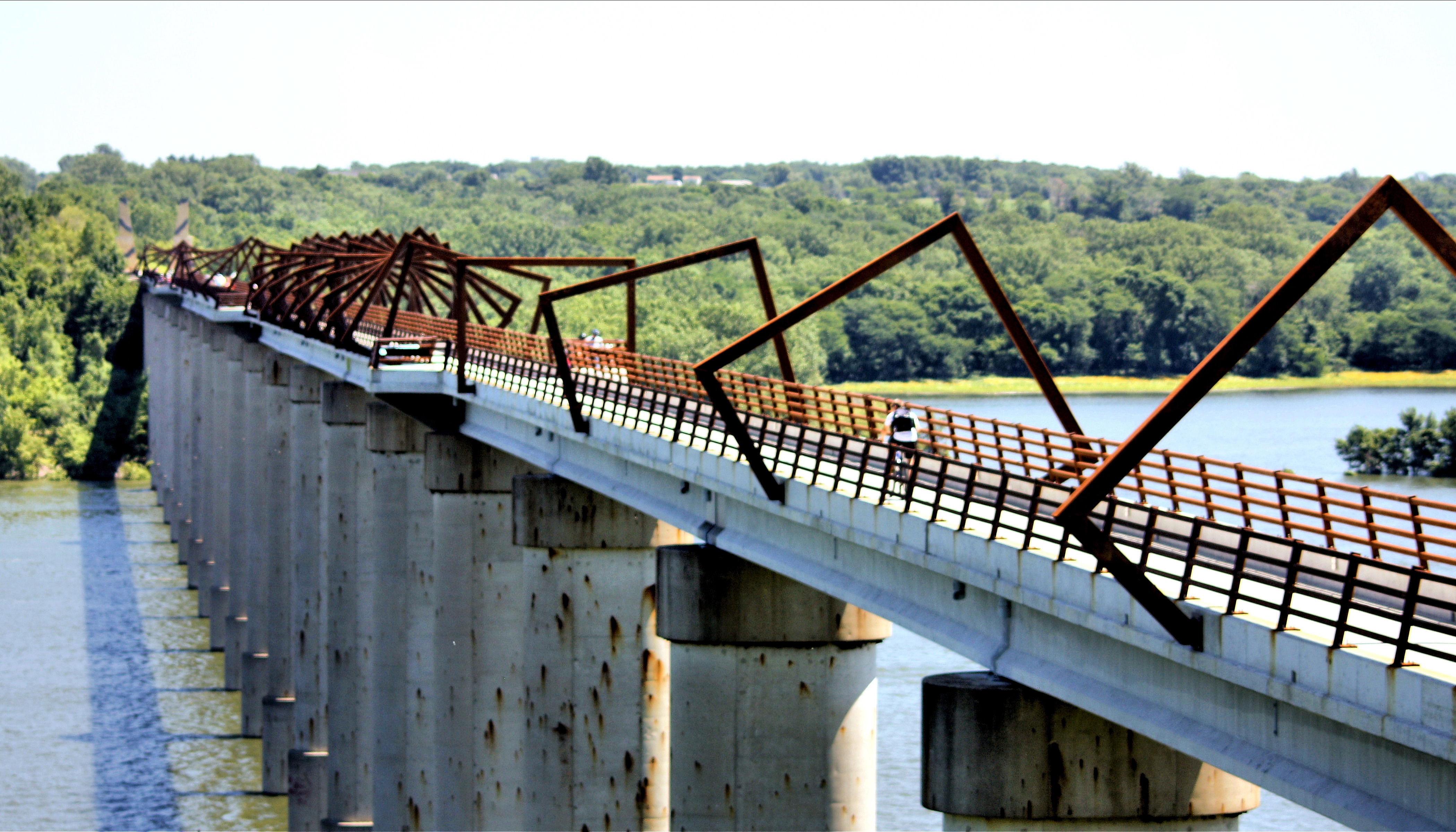
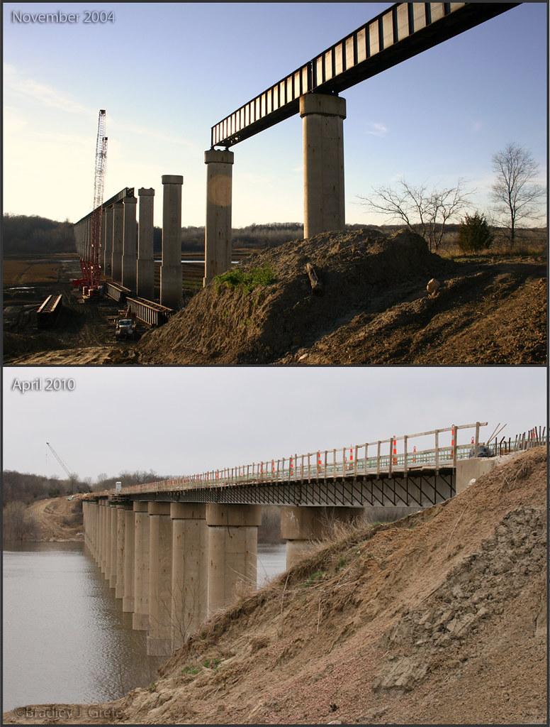
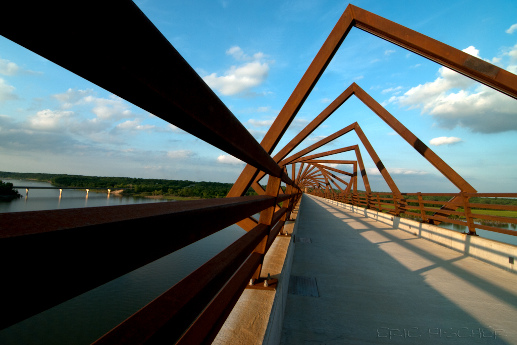
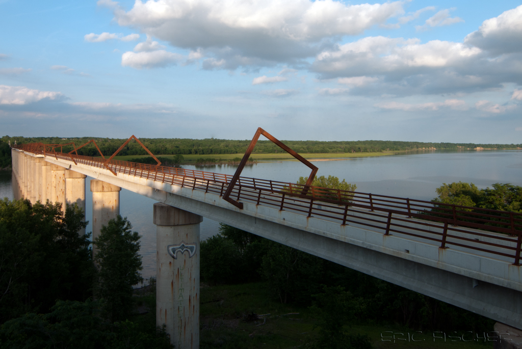
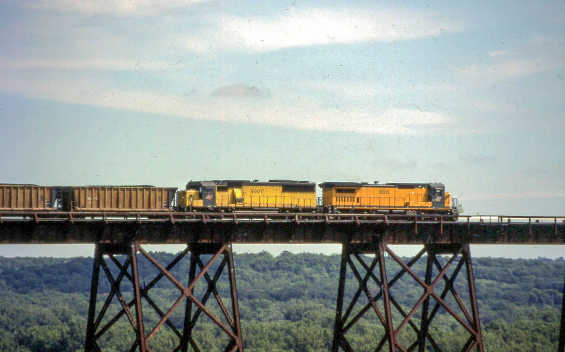
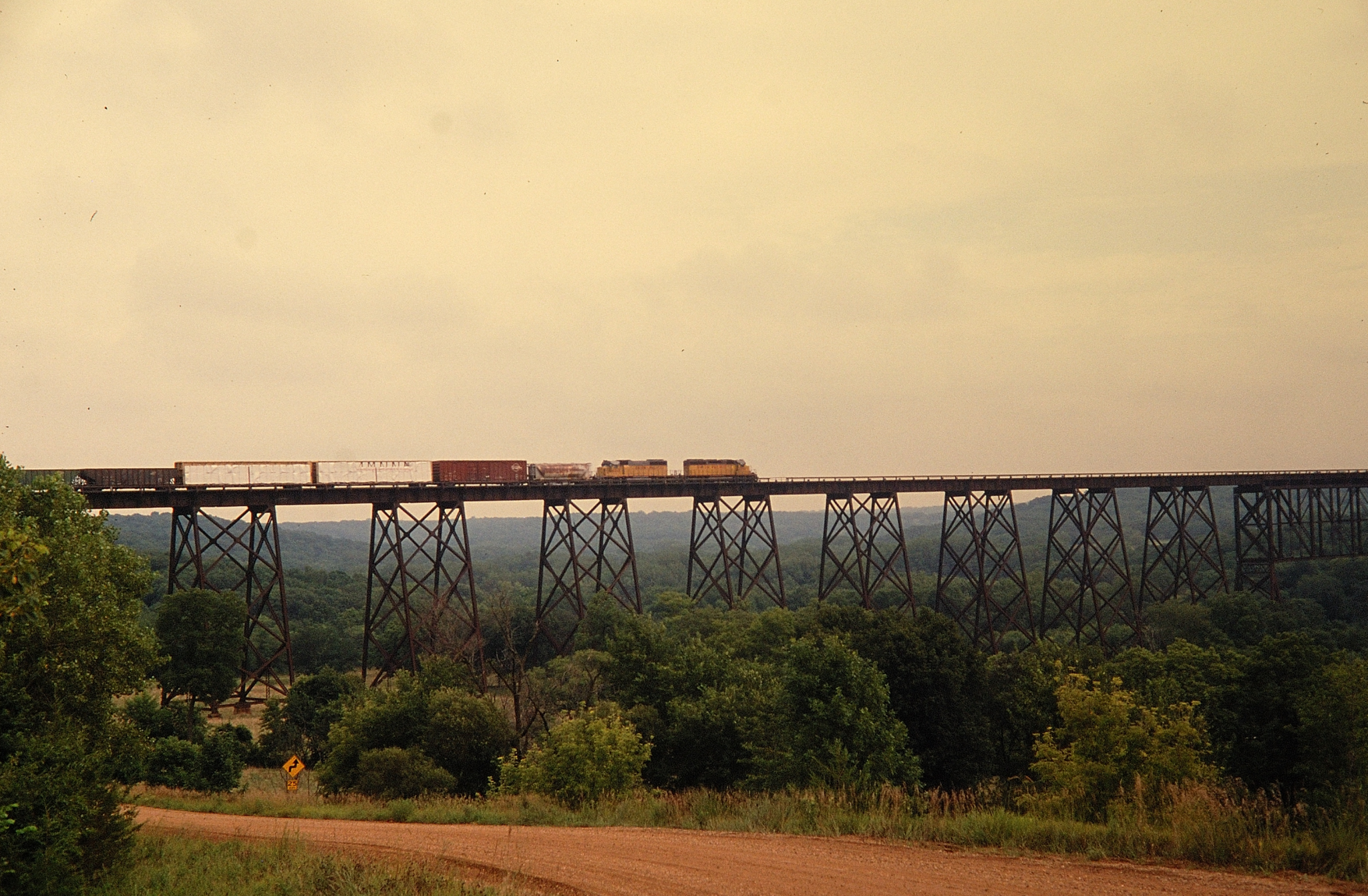
High Trestle Trail Bridge

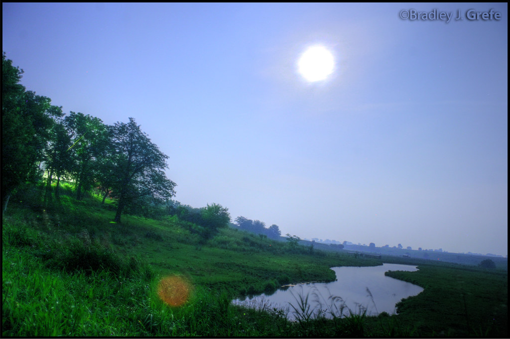
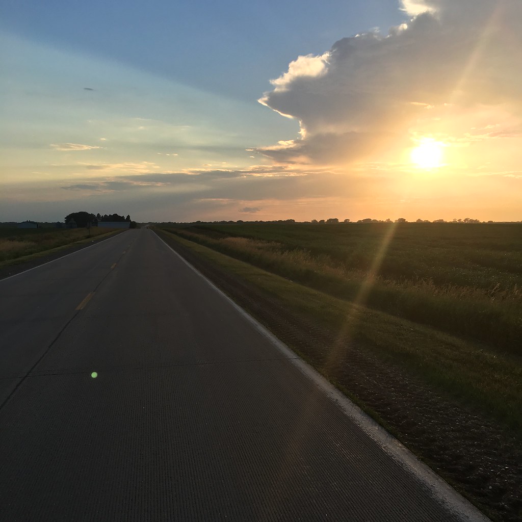
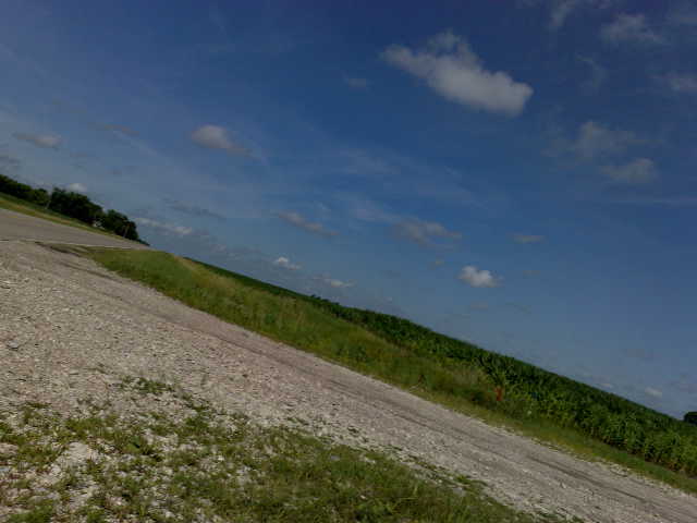
Summer view around Mortensen Road
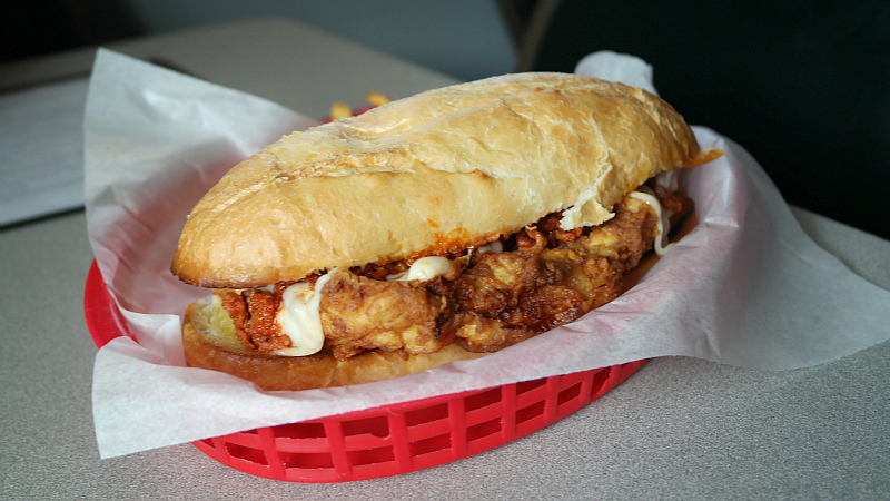
Deluxe Tenderloin from Elmo's Bar & Grill in Madrid, Iowa
High Trestle Trail
West End

A view from above
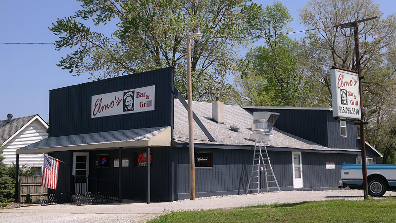
Elmo's Bar & Grill in Madrid, Iowa
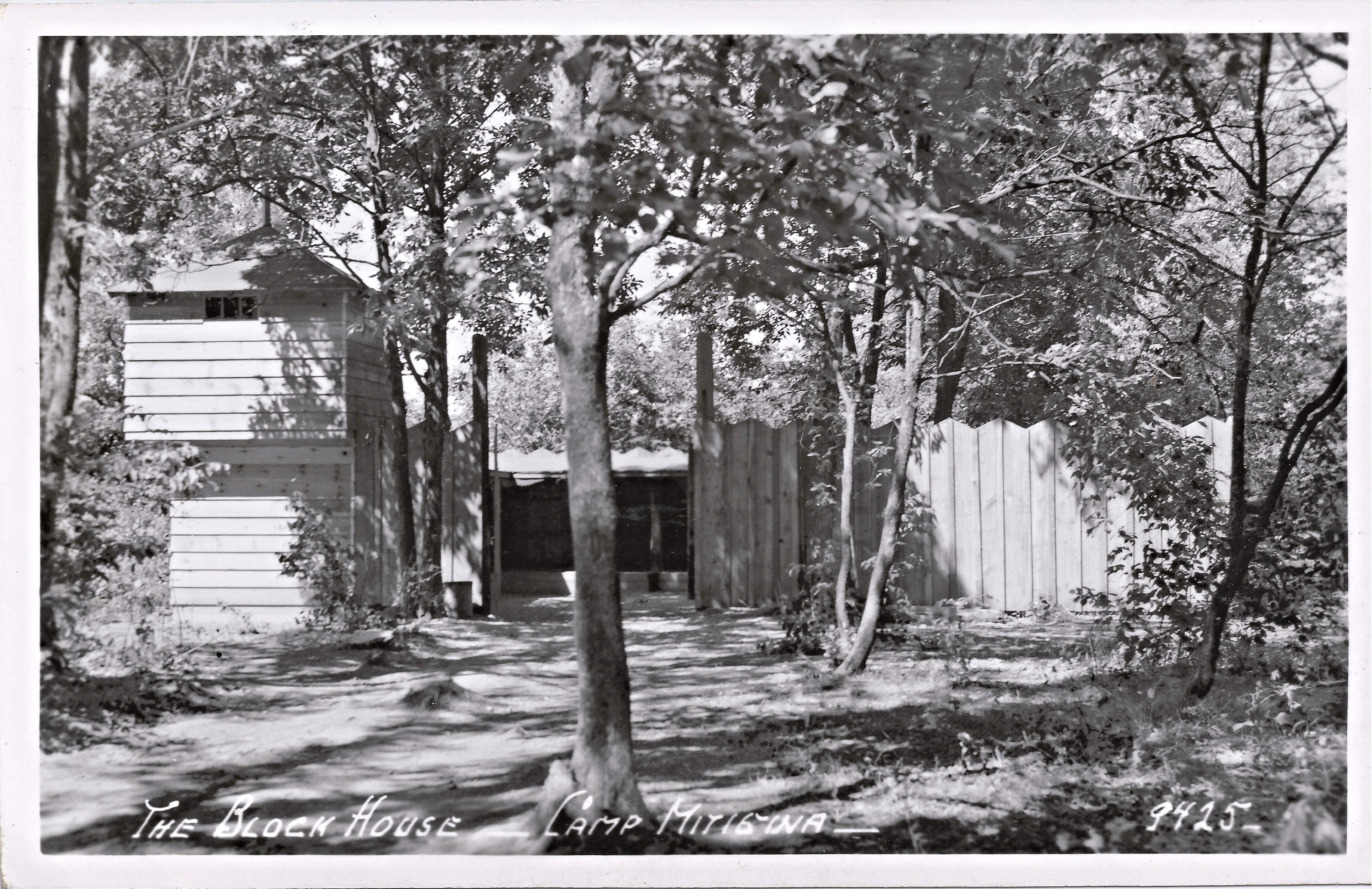
Camp Mitigwa, Block House, Woodward, Iowa
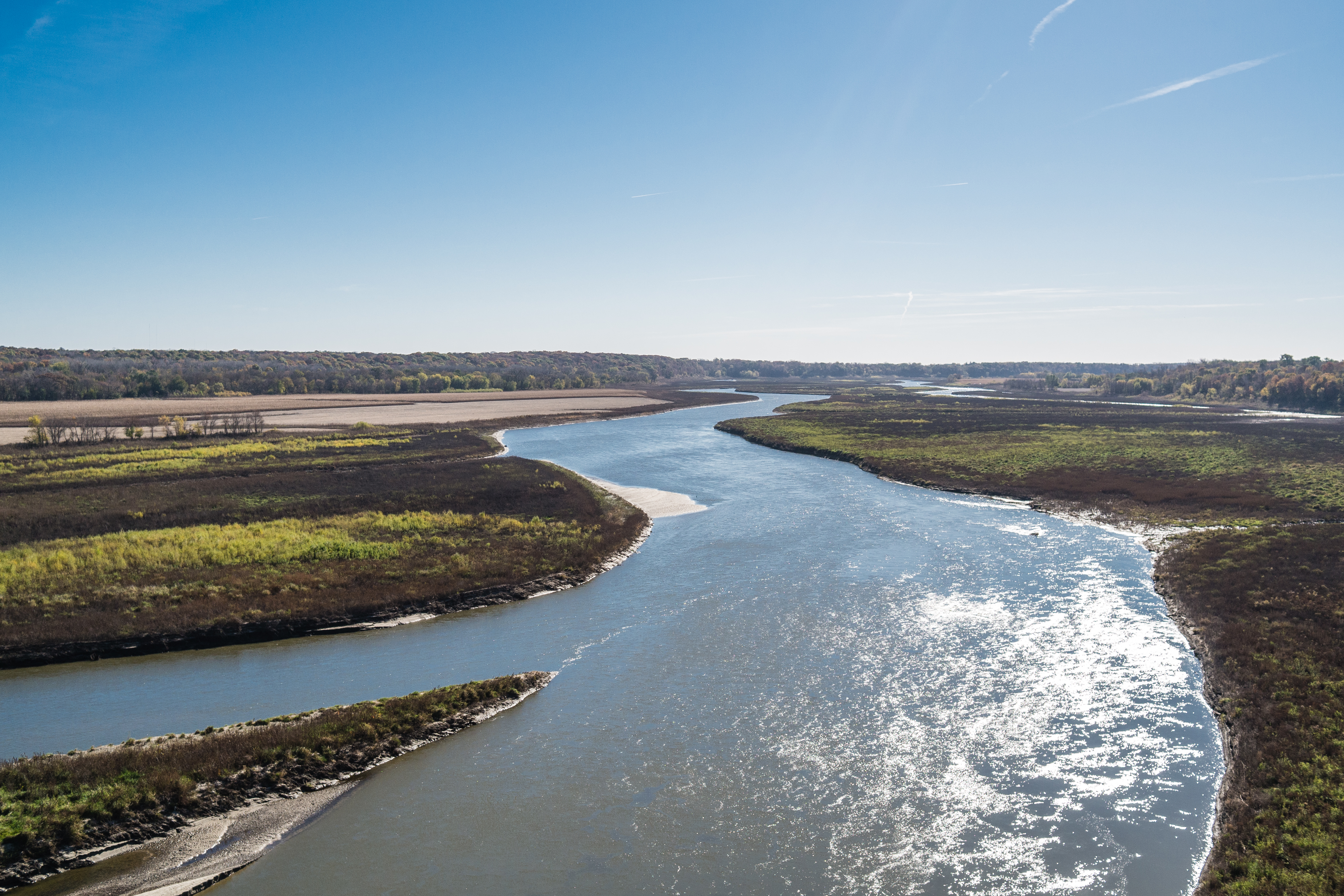
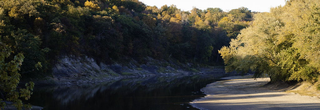
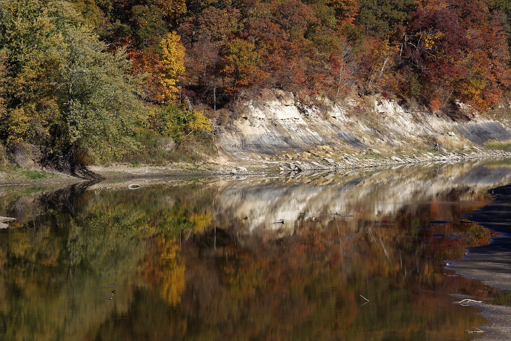
Des Moines River

Taking in the View
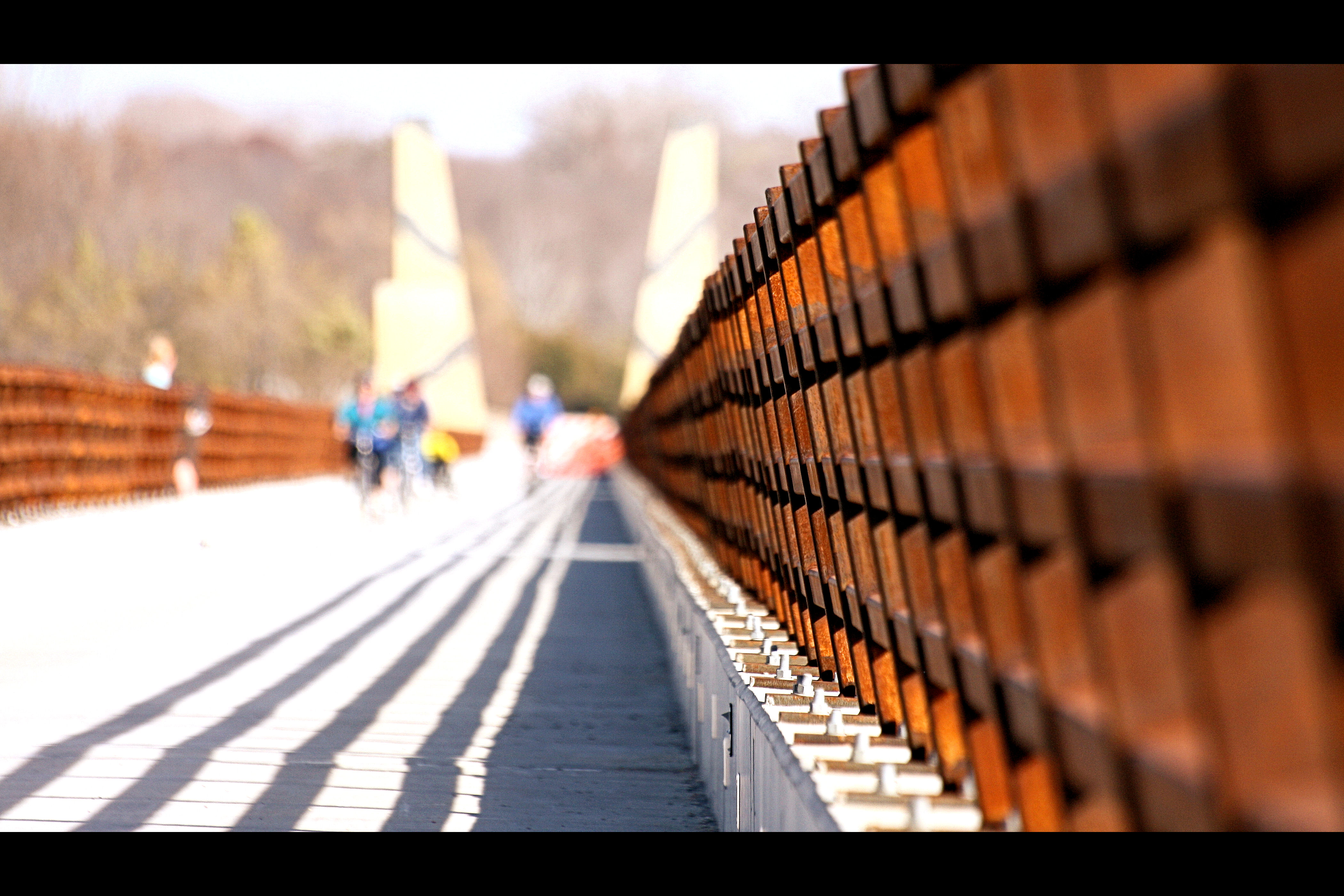
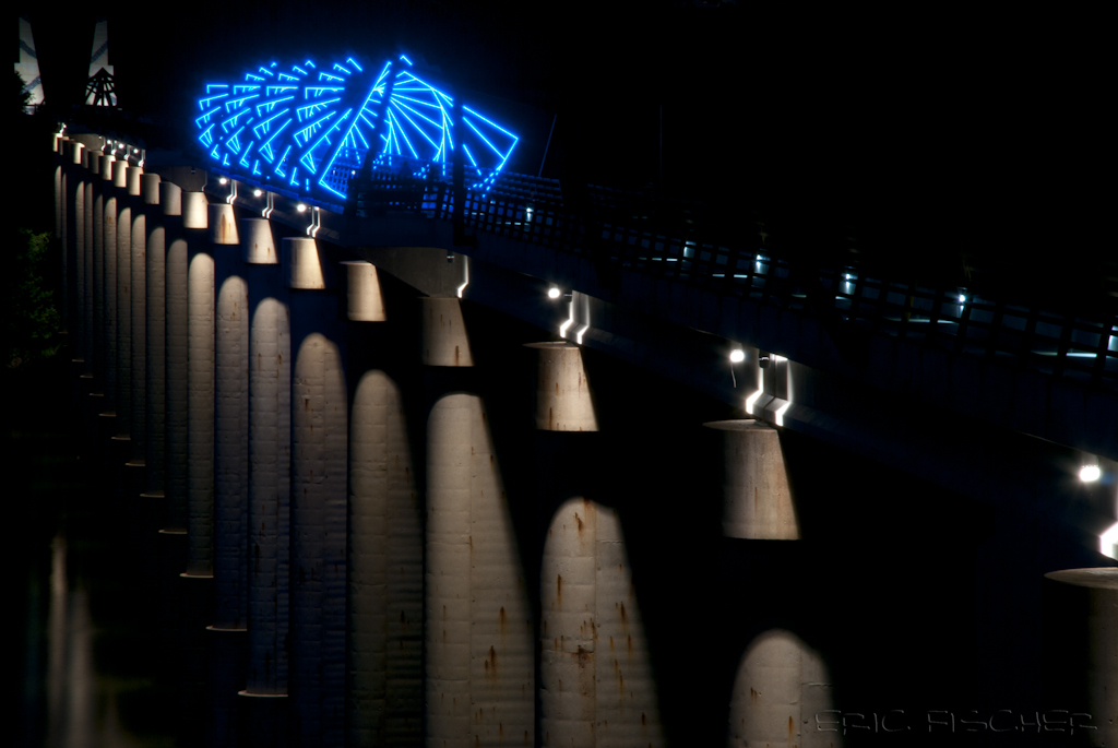
High Trestle Trail Bridge
Potential Picnic Area
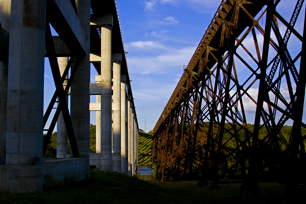
Beneath Looking West
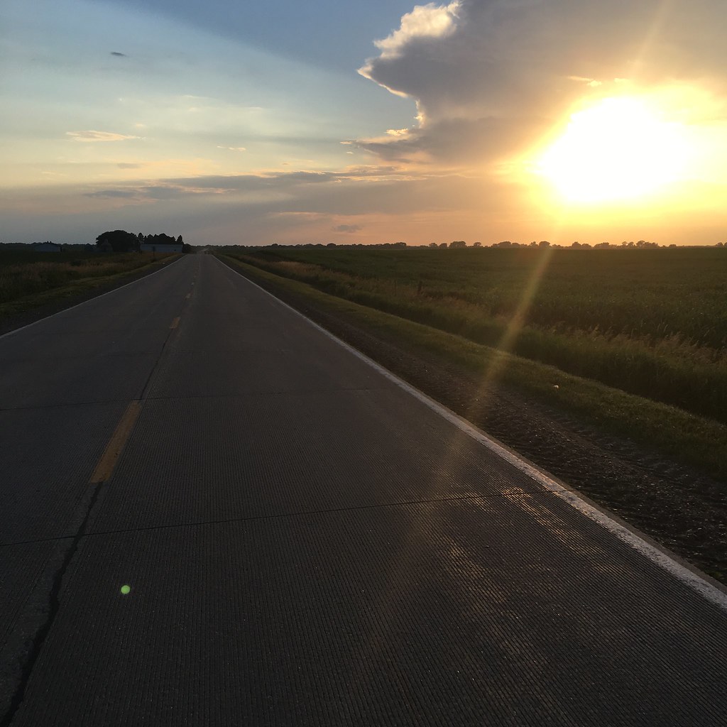
Rural Iowa Midnight
Kate and Kate Jr
High Trestle Trail
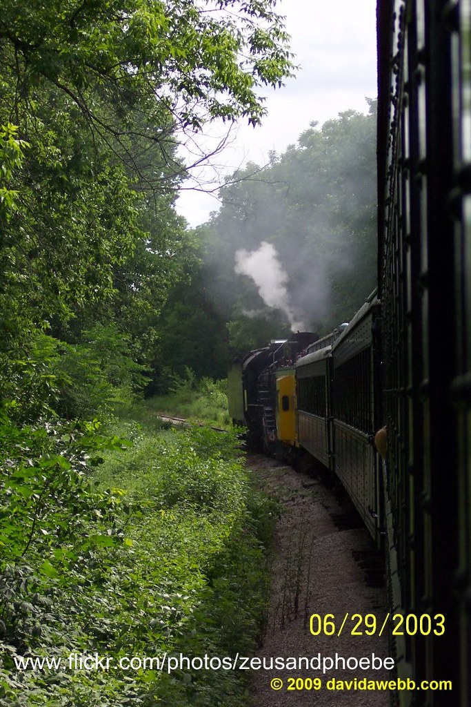
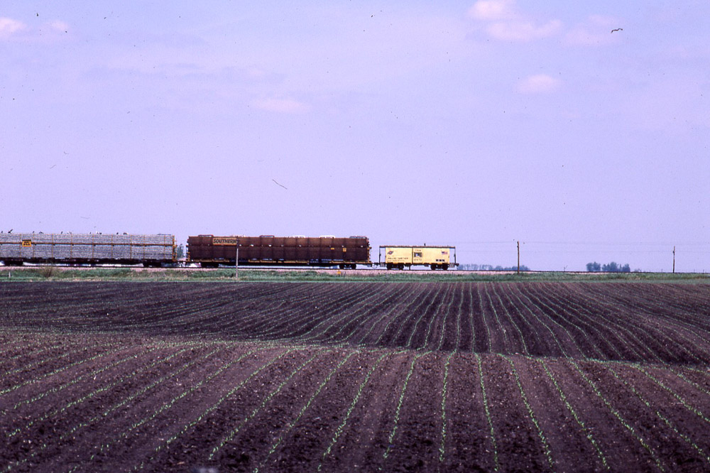
Riding the rails in Iowa
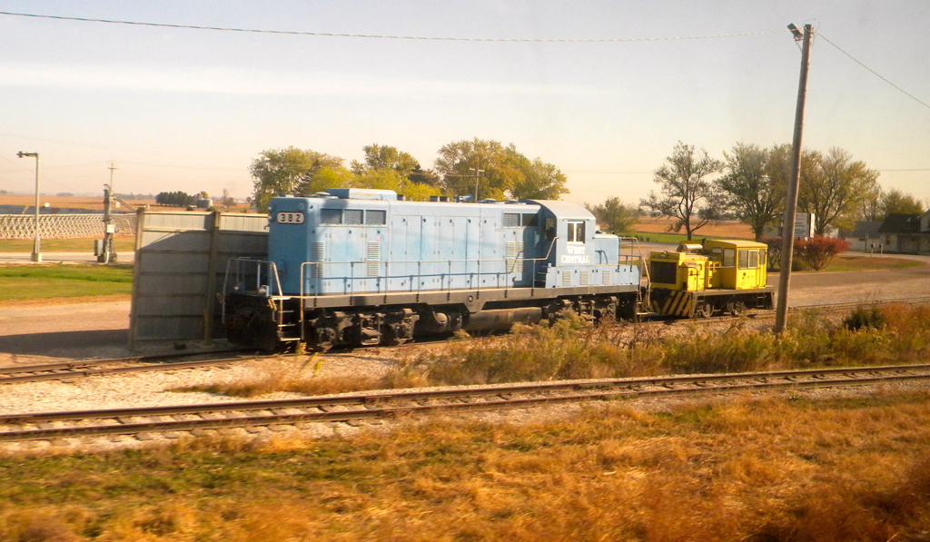
Iowa: Engines at Corn Handling Facilities
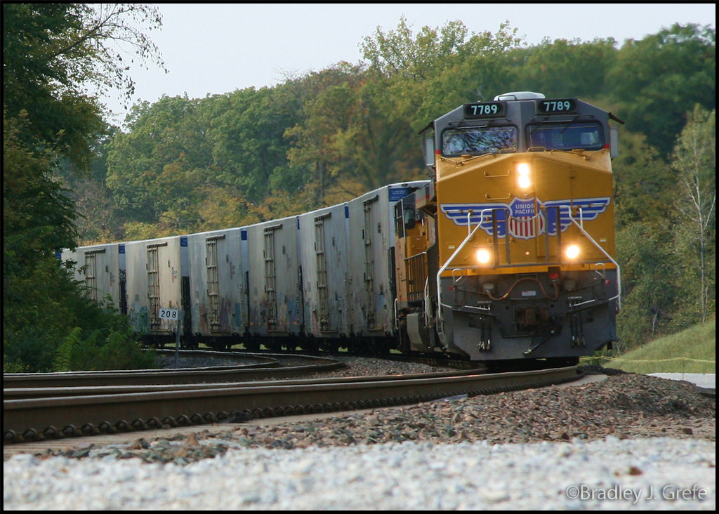
UP 7789 - KSHB - Boone Co., IA
View From Wagon Wheel Bridge
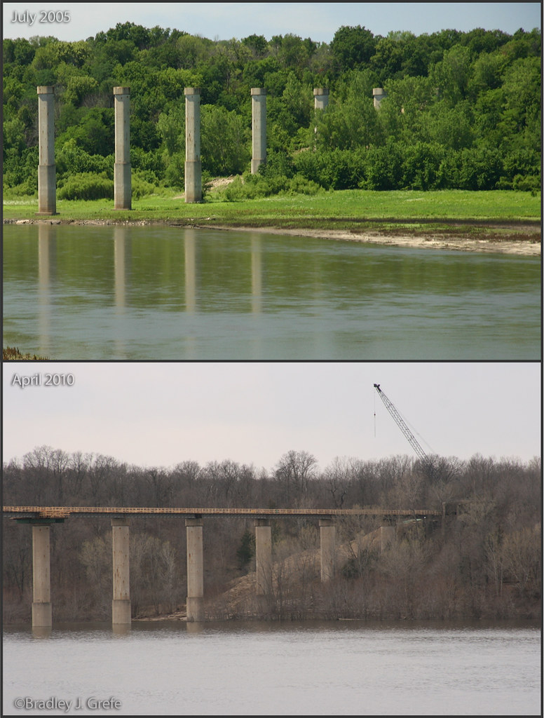
Destination Bridge
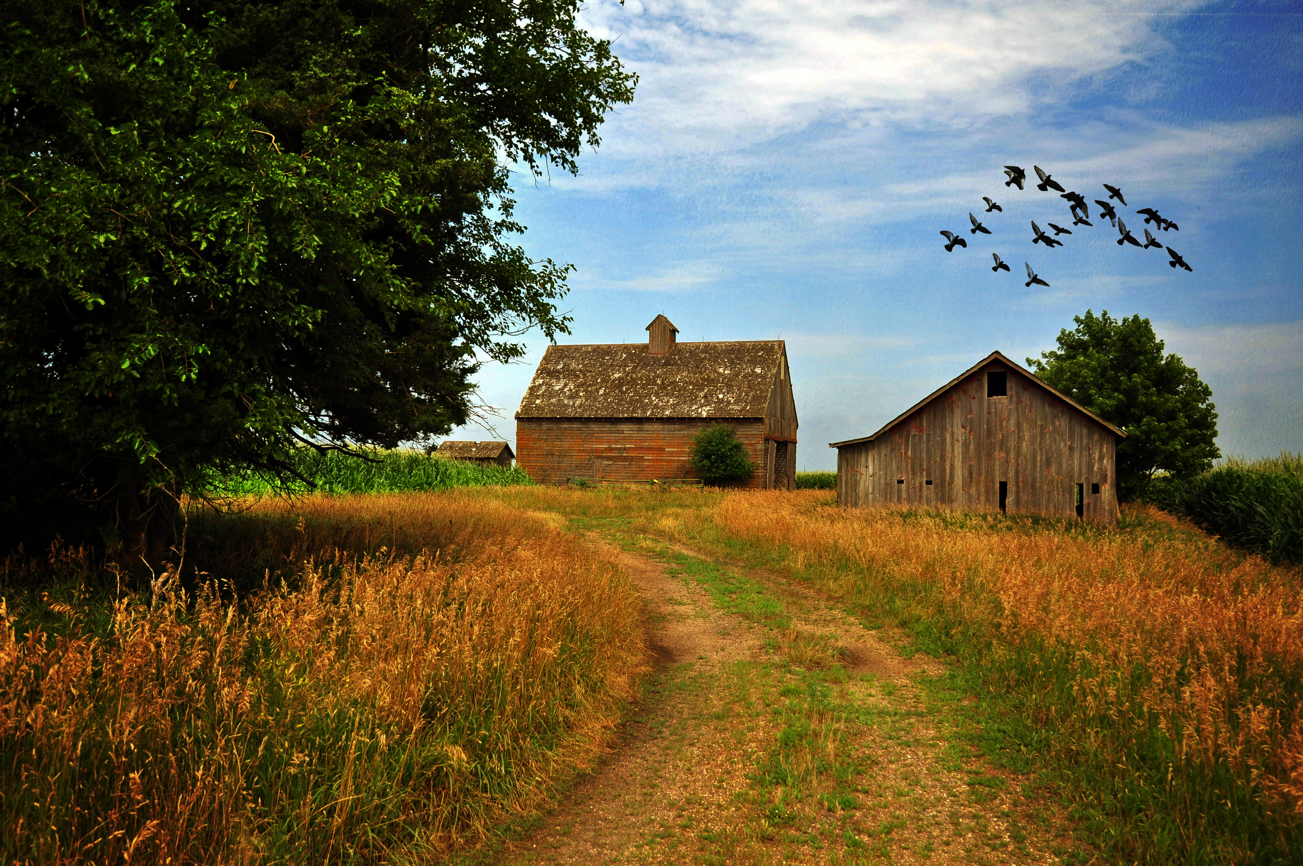
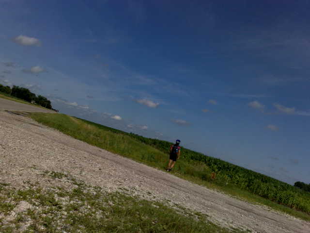
Leaving the Farm

Mum20151031-134-HDR.jpg
Solo #swiftcampout #S24O to Ledges State Park Iowa
Solo #swiftcampout #S24O to Ledges State Park Iowa

Run down farm
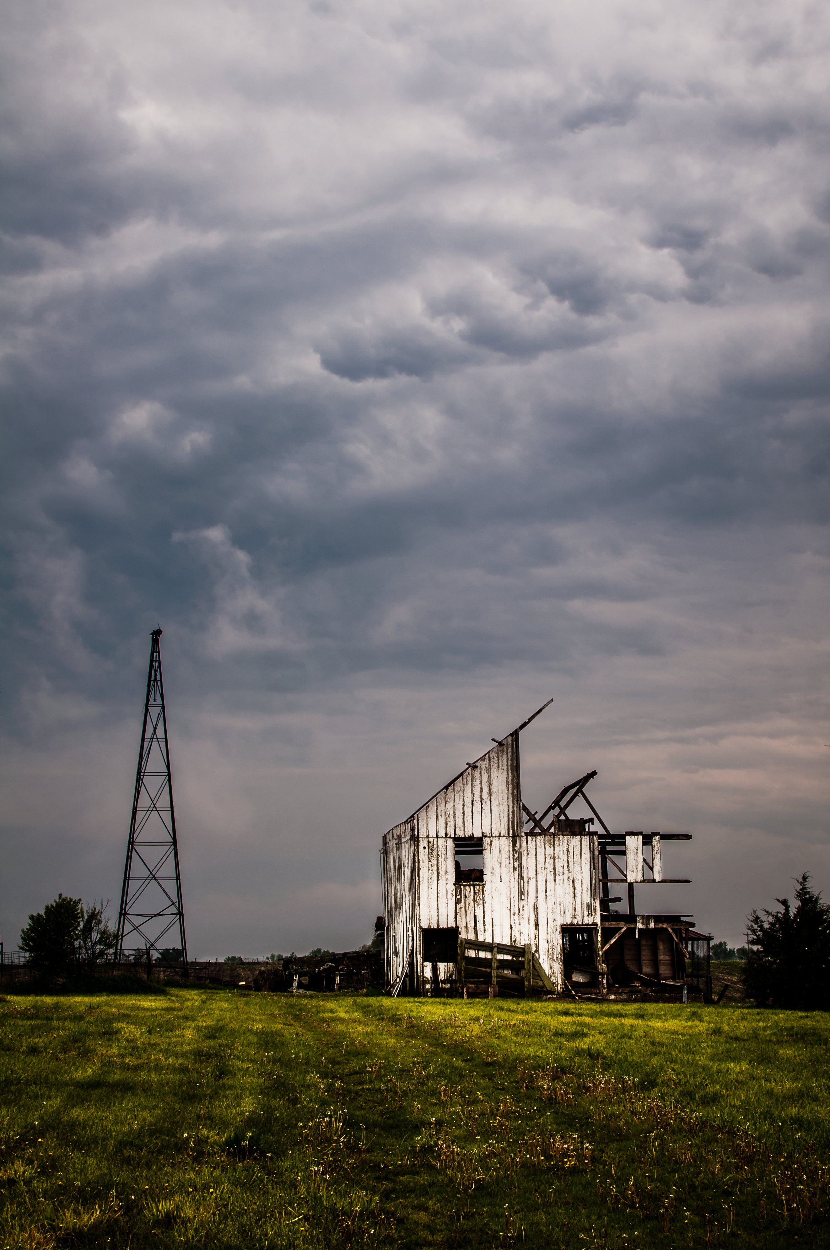
Run down farm

Whats under the bridge
19950722 11 UP Kate Shelley Bridge
C&NW caboose near Boone IA on 5/21/84

Into the Wild
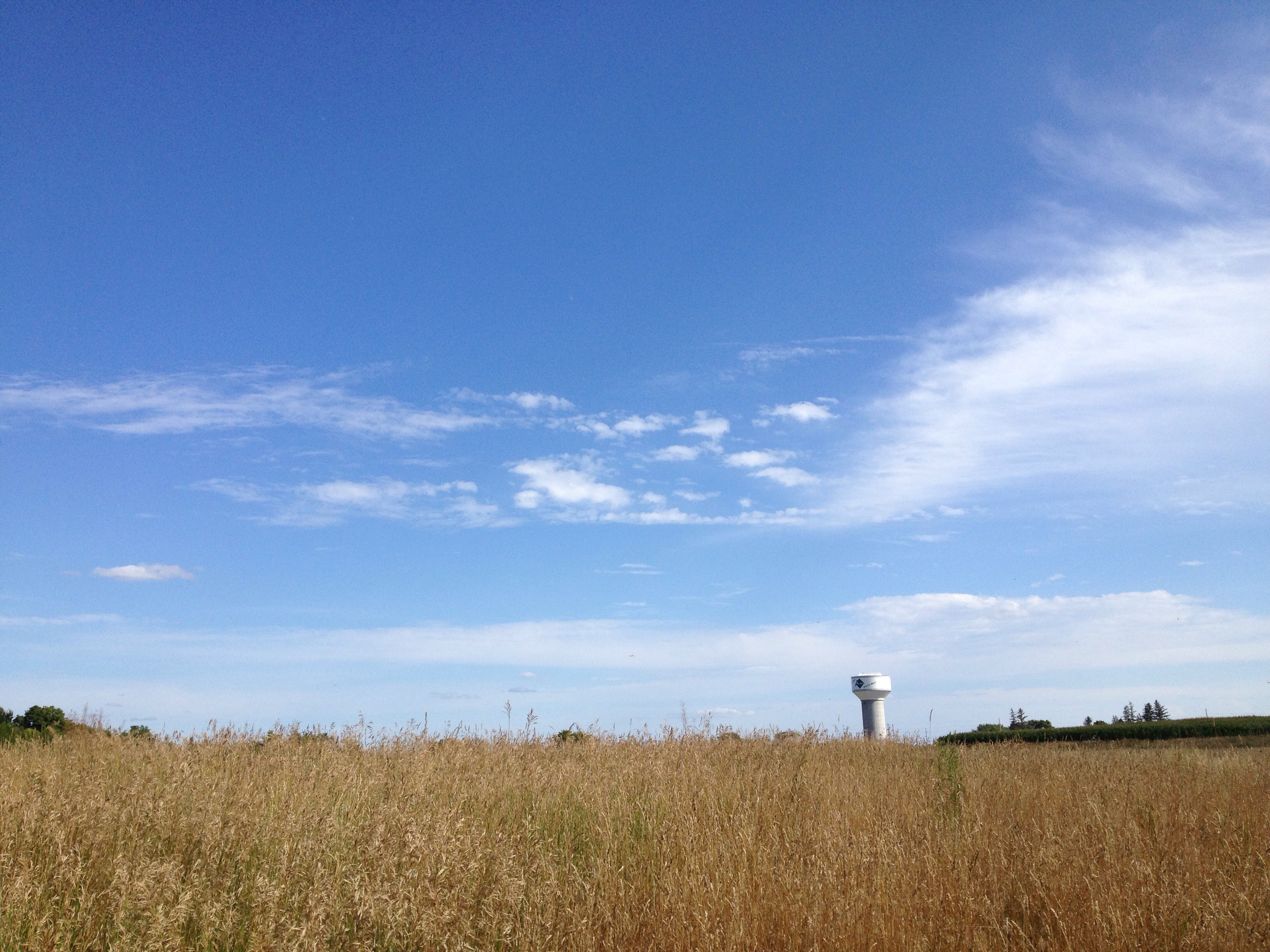
City of Ames water tower
Take a hike!
Blue Steel took a picture!
Blue Steel took a picture!

Our new neighbors!
Blue Steel took a picture!
Boone County IA 02
UP 2993 at Boone, IA
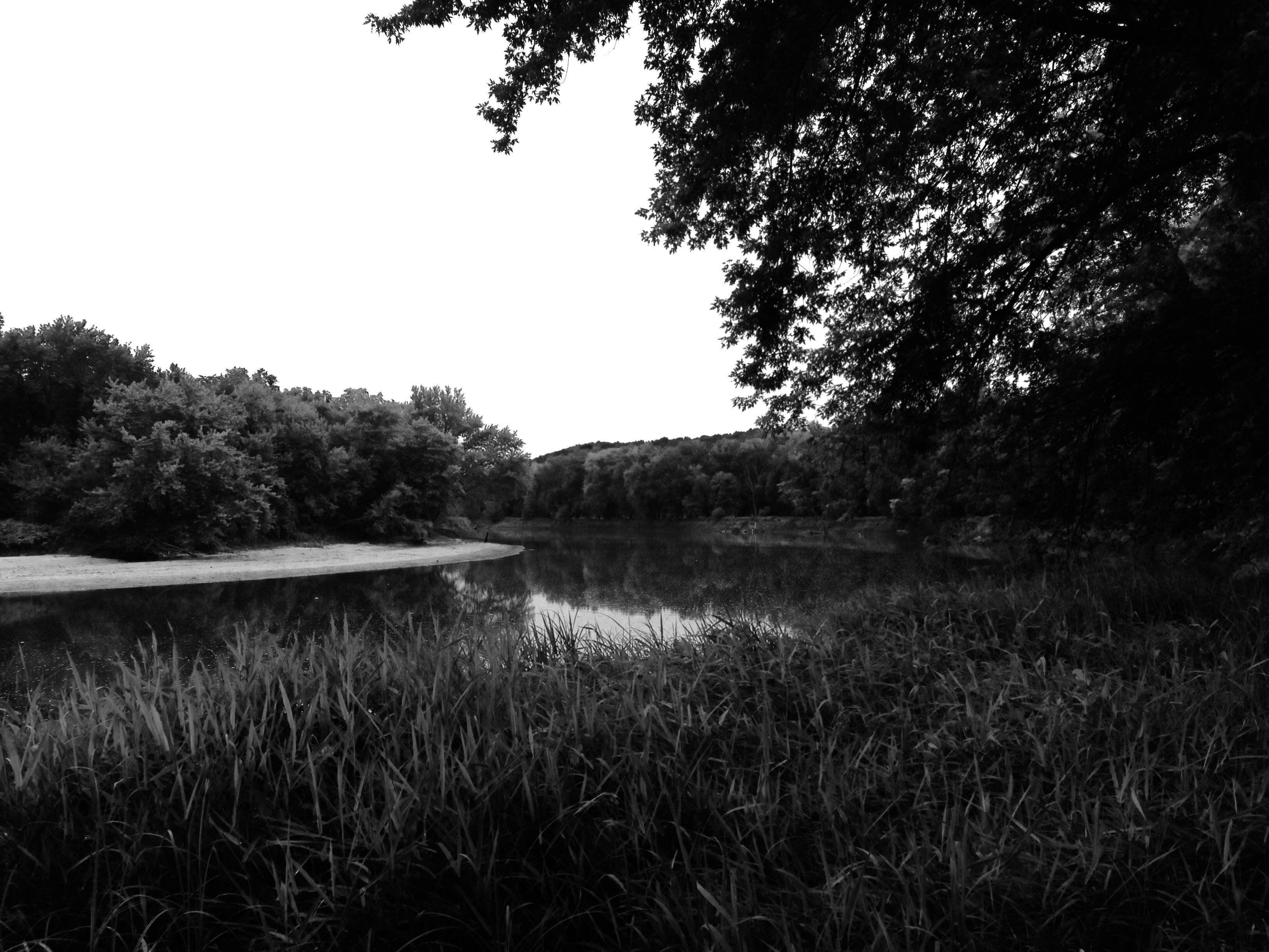
Des Moines River near Boone, IA

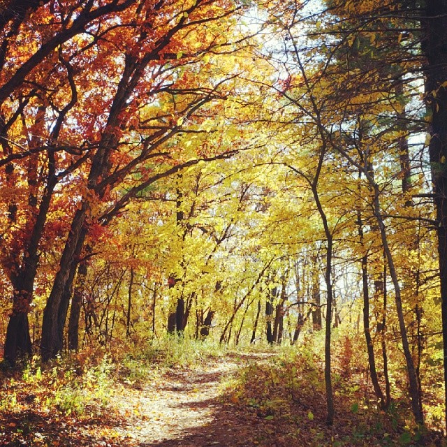
fall, iowa
Seven Oaks #2
Topographic Map of Worth, IA, USA
Find elevation by address:

Places in Worth, IA, USA:
Places near Worth, IA, USA:
Luther
Luther St, Madrid, IA, USA
Story St, Boone, IA, USA
Boone
Des Moines
S Main St, Madrid, IA, USA
Marcy
X Ave, Ames, IA, USA
U Ave, Woodward, IA, USA
Woodward
1524 Indiana Ave
Des Moines
1248 I Ave
1248 I Ave
1248 I Ave
1248 I Ave
1248 I Ave
Boone County
Yell
Kelley
Recent Searches:
- Elevation of Corso Fratelli Cairoli, 35, Macerata MC, Italy
- Elevation of Tallevast Rd, Sarasota, FL, USA
- Elevation of 4th St E, Sonoma, CA, USA
- Elevation of Black Hollow Rd, Pennsdale, PA, USA
- Elevation of Oakland Ave, Williamsport, PA, USA
- Elevation of Pedrógão Grande, Portugal
- Elevation of Klee Dr, Martinsburg, WV, USA
- Elevation of Via Roma, Pieranica CR, Italy
- Elevation of Tavkvetili Mountain, Georgia
- Elevation of Hartfords Bluff Cir, Mt Pleasant, SC, USA