Elevation of Govind Ghat, Uttarakhand, India
Location: India > Uttarakhand > Chamoli >
Longitude: 79.5617052
Latitude: 30.618549
Elevation: 1812m / 5945feet
Barometric Pressure: 81KPa
Elevation Map:
Satellite Map:
Related Photos:

Valley of flowers

Valley of flowers

Govindghat comes into view

... a view near Ghangaria

Valley of flowers
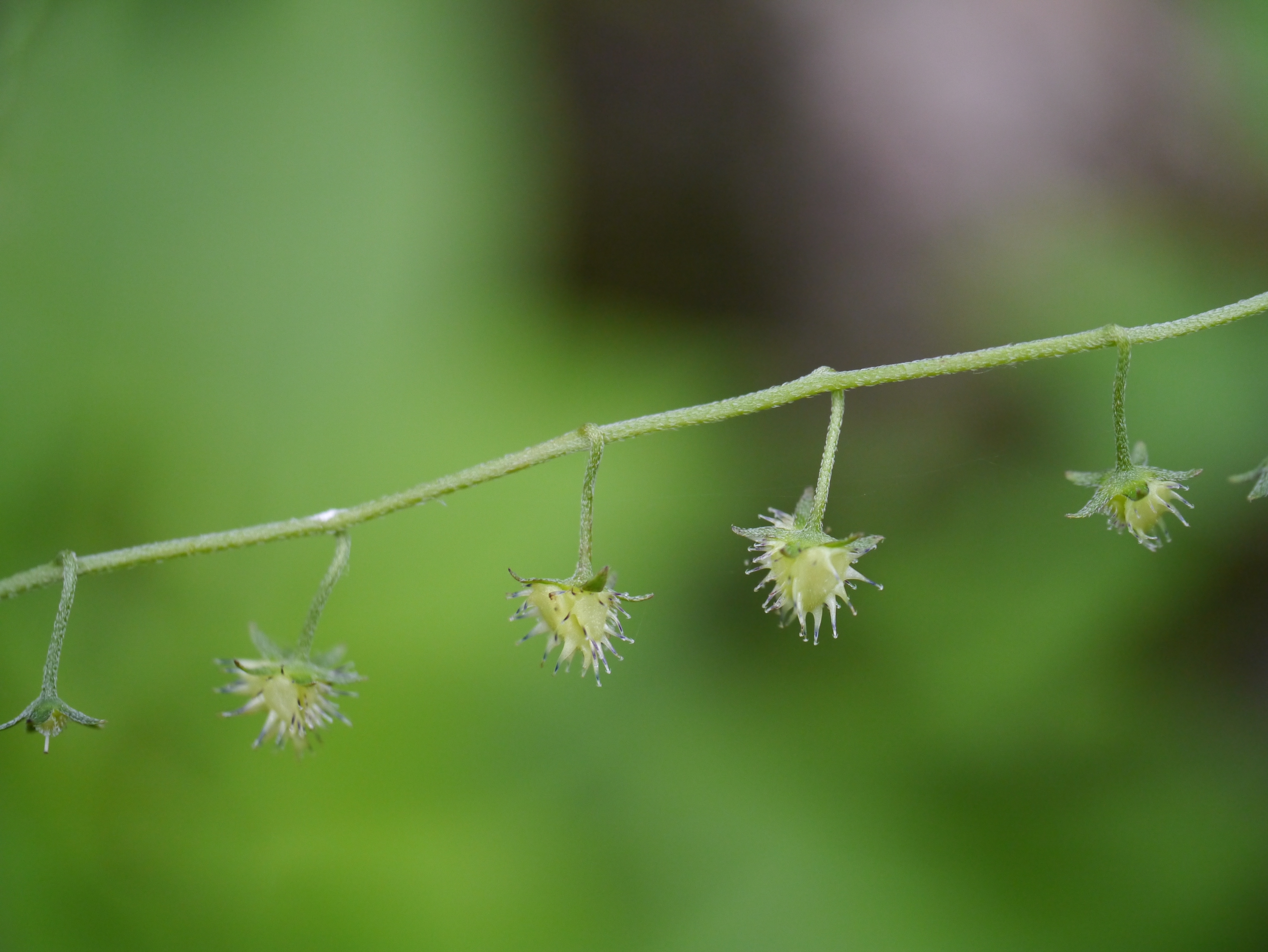
¿ Hackelia uncinata ?

Early morning first view

... borage to ID

Hackelia uncinata (Benth.) C.E.C.Fisch.

Hackelia uncinata (Benth.) C.E.C.Fisch.

Neelkanth, view from Badrinath

Neelkanth, view from Badrinath

¿ Hackelia uncinata ?

Lamium album

¿ Myosotis arvensis ?

... view from Auli

A view from our base camp

A view from ropeway while travelling from Joshimoth to aui...

Himalayan Winding Roads - Take me to the home above the clouds

Hathi Parvat, Ghori Parvat: Kapadia0163

Sheep grazing at the Auli Bugyal Meadows - View from Minfar trek route

Hathi Ghori peak monochrome.

road-helang-1980

Mountain plans

WP_20160905_10_27_22_Pro_LI.jpg

IND11-4067-20111011And4more.jpg

valley of flowers

Valley of flowers

Hemkunt Sahib

Hemkunt Sahib

Nature's paradise

Valley of Flowers

Valley of flowers

Valley of flowers

Nanda Devi from Auli [0071022_078]

IND11-3901-20111011.jpg

A Beautiful Village Ghangaria

Ghangaria village

Valley of flowers

Valley of Flowers
Topographic Map of Govind Ghat, Uttarakhand, India
Find elevation by address:

Places near Govind Ghat, Uttarakhand, India:
Joshimath
Auli Resort
Auli Laga Salude
Gorson Bugyal
Valley Of Flowers National Park
Nar Parvat
Badrinath
Tapovan
Badrinath Temple
Mana
Nilkantha
Suki
Balakun
Avalanche Peak
Dronagiri
Chaukhamba
Kamet
Bhagirath Kharak Glacier
Abi Gamin
Gopeshwar
Recent Searches:
- Elevation of Corso Fratelli Cairoli, 35, Macerata MC, Italy
- Elevation of Tallevast Rd, Sarasota, FL, USA
- Elevation of 4th St E, Sonoma, CA, USA
- Elevation of Black Hollow Rd, Pennsdale, PA, USA
- Elevation of Oakland Ave, Williamsport, PA, USA
- Elevation of Pedrógão Grande, Portugal
- Elevation of Klee Dr, Martinsburg, WV, USA
- Elevation of Via Roma, Pieranica CR, Italy
- Elevation of Tavkvetili Mountain, Georgia
- Elevation of Hartfords Bluff Cir, Mt Pleasant, SC, USA