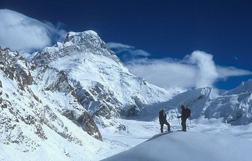
Elevation of Chaukhamba, Uttarakhand
Location: India >
Longitude: 79.2891666
Latitude: 30.7483333
Elevation: 7116m / 23346feet
Barometric Pressure: 40KPa
Related Photos:
Topographic Map of Chaukhamba, Uttarakhand
Find elevation by address:

Places near Chaukhamba, Uttarakhand:
Bhagirath Kharak Glacier
Balakun
Nilkantha
Avalanche Peak
Badrinath Temple
Badrinath
Mana
Ransi
Kedarnath Temple
Kedarnath
Raunlek
Byunkhi
Byunkhi
Shivling
Nar Parvat
Kabiltha
Tungnath
Tungnath
Chandrashila
Kalimath
Recent Searches:
- Elevation of Corso Fratelli Cairoli, 35, Macerata MC, Italy
- Elevation of Tallevast Rd, Sarasota, FL, USA
- Elevation of 4th St E, Sonoma, CA, USA
- Elevation of Black Hollow Rd, Pennsdale, PA, USA
- Elevation of Oakland Ave, Williamsport, PA, USA
- Elevation of Pedrógão Grande, Portugal
- Elevation of Klee Dr, Martinsburg, WV, USA
- Elevation of Via Roma, Pieranica CR, Italy
- Elevation of Tavkvetili Mountain, Georgia
- Elevation of Hartfords Bluff Cir, Mt Pleasant, SC, USA
