Elevation of Byunkhi, Uttarakhand, India
Location: India > Uttarakhand > Rudraprayag >
Longitude: 79.1012197
Latitude: 30.5719501
Elevation: 2392m / 7848feet
Barometric Pressure: 0KPa
Related Photos:

A view from Trijuginarayan

Six feet from the edge

Top o' the mountain - Chandrashila

Good Night

Sari Village

Kedarnath Range

enjoying the morning

Deoriatal campsite

Deoria Tal Panaroma

Views of Chaukhamba from Deoria Taal

View from Gupt Kashi at dawn

View from Gaurikund

View from Rampur TRH

Views of Chaukhamba from Deoria Taal

Chopta Mountain View

View from Gupt Kashi at dawn

View of the snow caped Kedar sector of Gharwal Himalayas from near Sayalsur
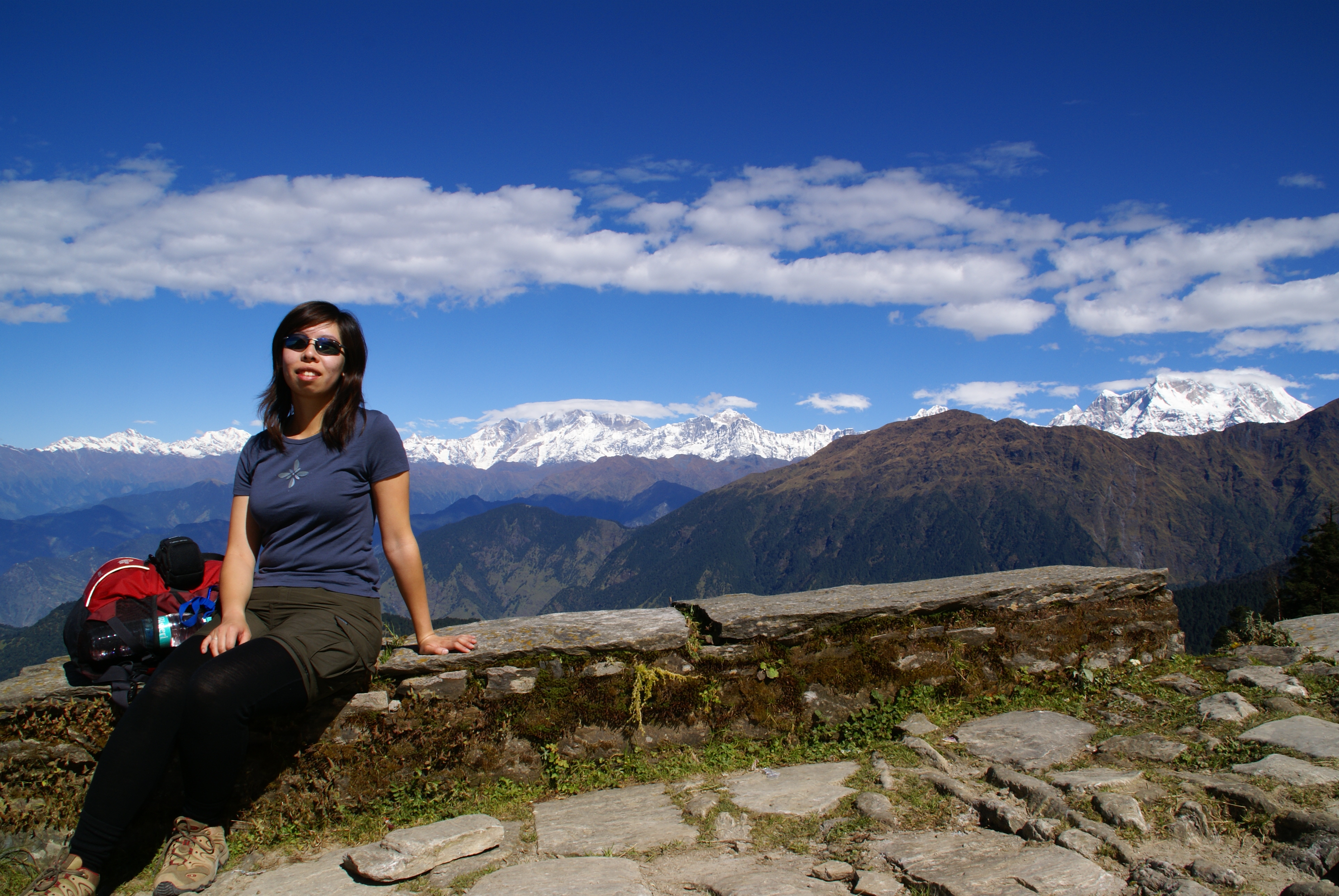
Clara taking a break

View from Deoria Taal

Moon Rock Chandrashila is summit of the Tungnath. It literally means "Moon Rock". It is located at a height of about 4,000 metres above sea level and words highest lord Shiva temple. This peak provides a spectacular view of Himalayas,especially Nandadevi

the layers we leave behind...

Ganesh Temple at Chopta
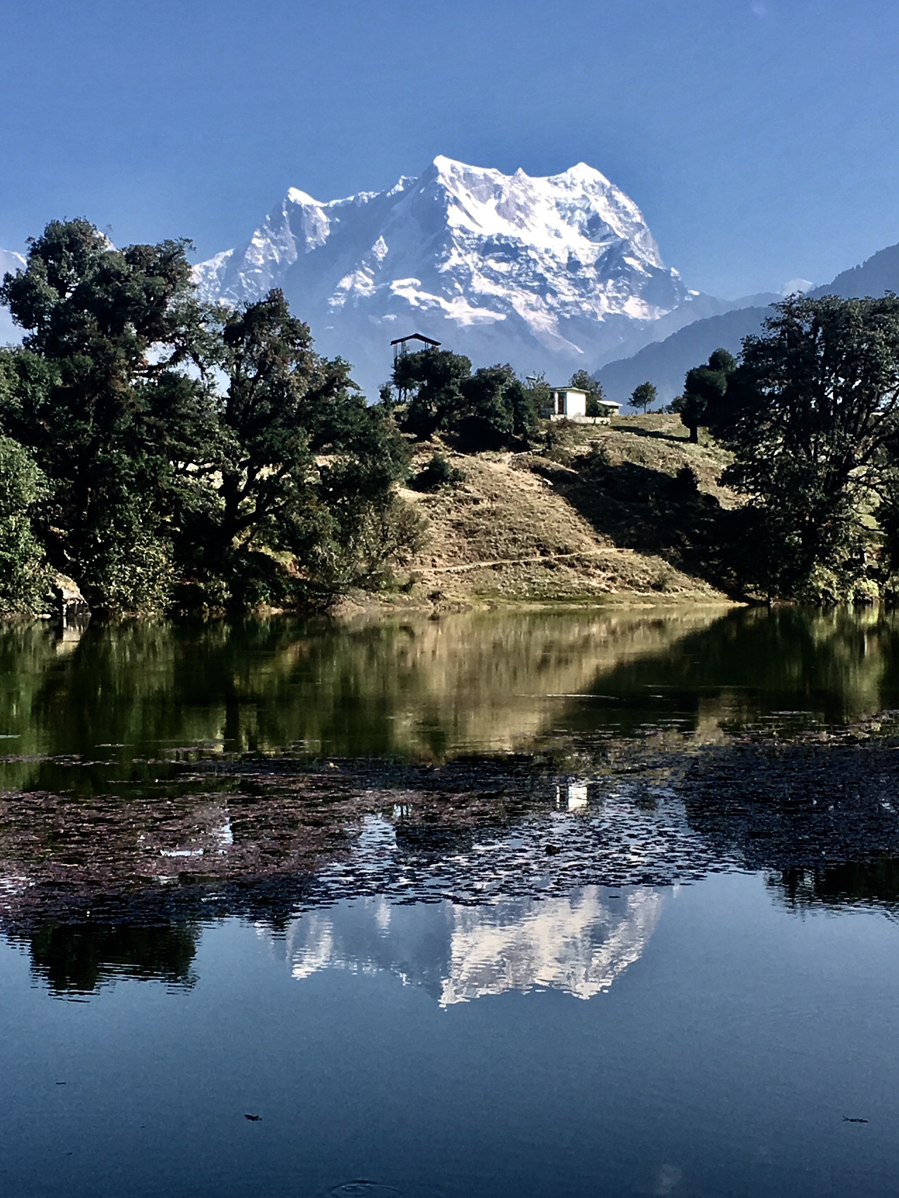
Chaukhamba reflects in Deoria Taal

God's own Country

Ramparts of Heaven in Deoria Taal

The #mountains are definitely #calling Perhaps not so much to the #people living there. #photo taken at the #himalayan #foothills. #tbt #roadtrip #nostalgia #india #mountains #natgeo #yourshot #exploreeverything #exploreeverything #instatravel @500px @n

clouds and rays

We salute you O’ Great Saint - The Great Himalayas.

Tungnath Hut

Mandani Peak from Chopta

Himalayan Sunset 6
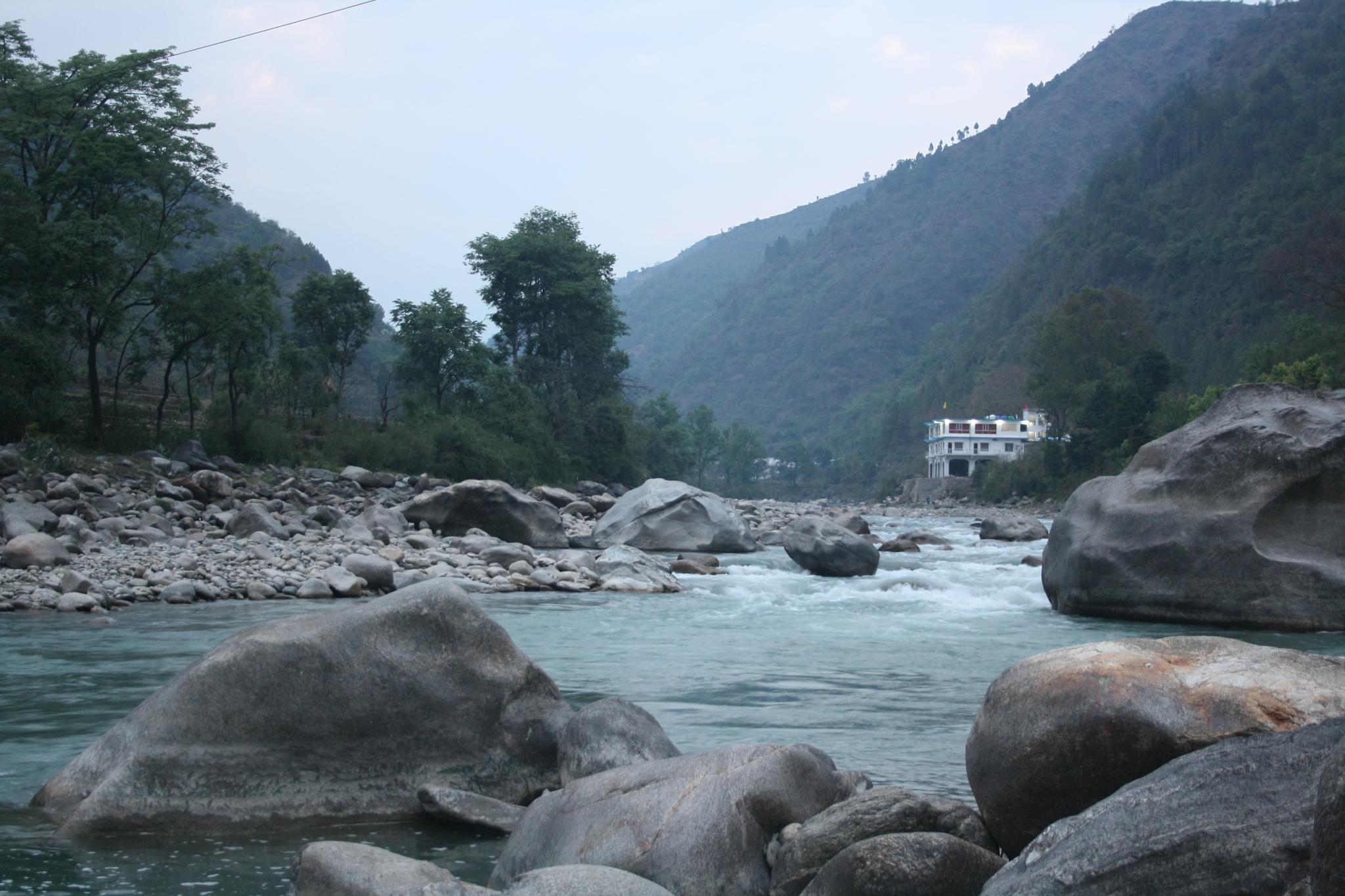
Mandakini river, originating at Kedarnath

Trek to Tungnath

Mandakini at Syalsaur TRH

As sun sets..

Rambara seen from below
Topographic Map of Byunkhi, Uttarakhand, India
Find elevation by address:

Places near Byunkhi, Uttarakhand, India:
Byunkhi
Kabiltha
Kalimath
Raunlek
Ransi
Ukhimath
Makku Math
Rudraprayag
Sonprayag
Tungnath
Tungnath
Chandrashila
Chandrapuri
India Post Chandra Puri
Kedarnath
Kedarnath Temple
Maniguh
Agastmuni
Chopta
Durgadhar
Recent Searches:
- Elevation map of Greenland, Greenland
- Elevation of Sullivan Hill, New York, New York, 10002, USA
- Elevation of Morehead Road, Withrow Downs, Charlotte, Mecklenburg County, North Carolina, 28262, USA
- Elevation of 2800, Morehead Road, Withrow Downs, Charlotte, Mecklenburg County, North Carolina, 28262, USA
- Elevation of Yangbi Yi Autonomous County, Yunnan, China
- Elevation of Pingpo, Yangbi Yi Autonomous County, Yunnan, China
- Elevation of Mount Malong, Pingpo, Yangbi Yi Autonomous County, Yunnan, China
- Elevation map of Yongping County, Yunnan, China
- Elevation of North 8th Street, Palatka, Putnam County, Florida, 32177, USA
- Elevation of 107, Big Apple Road, East Palatka, Putnam County, Florida, 32131, USA
- Elevation of Jiezi, Chongzhou City, Sichuan, China
- Elevation of Chongzhou City, Sichuan, China
- Elevation of Huaiyuan, Chongzhou City, Sichuan, China
- Elevation of Qingxia, Chengdu, Sichuan, China
- Elevation of Corso Fratelli Cairoli, 35, Macerata MC, Italy
- Elevation of Tallevast Rd, Sarasota, FL, USA
- Elevation of 4th St E, Sonoma, CA, USA
- Elevation of Black Hollow Rd, Pennsdale, PA, USA
- Elevation of Oakland Ave, Williamsport, PA, USA
- Elevation of Pedrógão Grande, Portugal