Elevation of Agastmuni, Uttarakhand, India
Location: India > Uttarakhand > Rudraprayag >
Longitude: 79.0263645
Latitude: 30.3907251
Elevation: 806m / 2644feet
Barometric Pressure: 92KPa
Elevation Map:
Satellite Map:
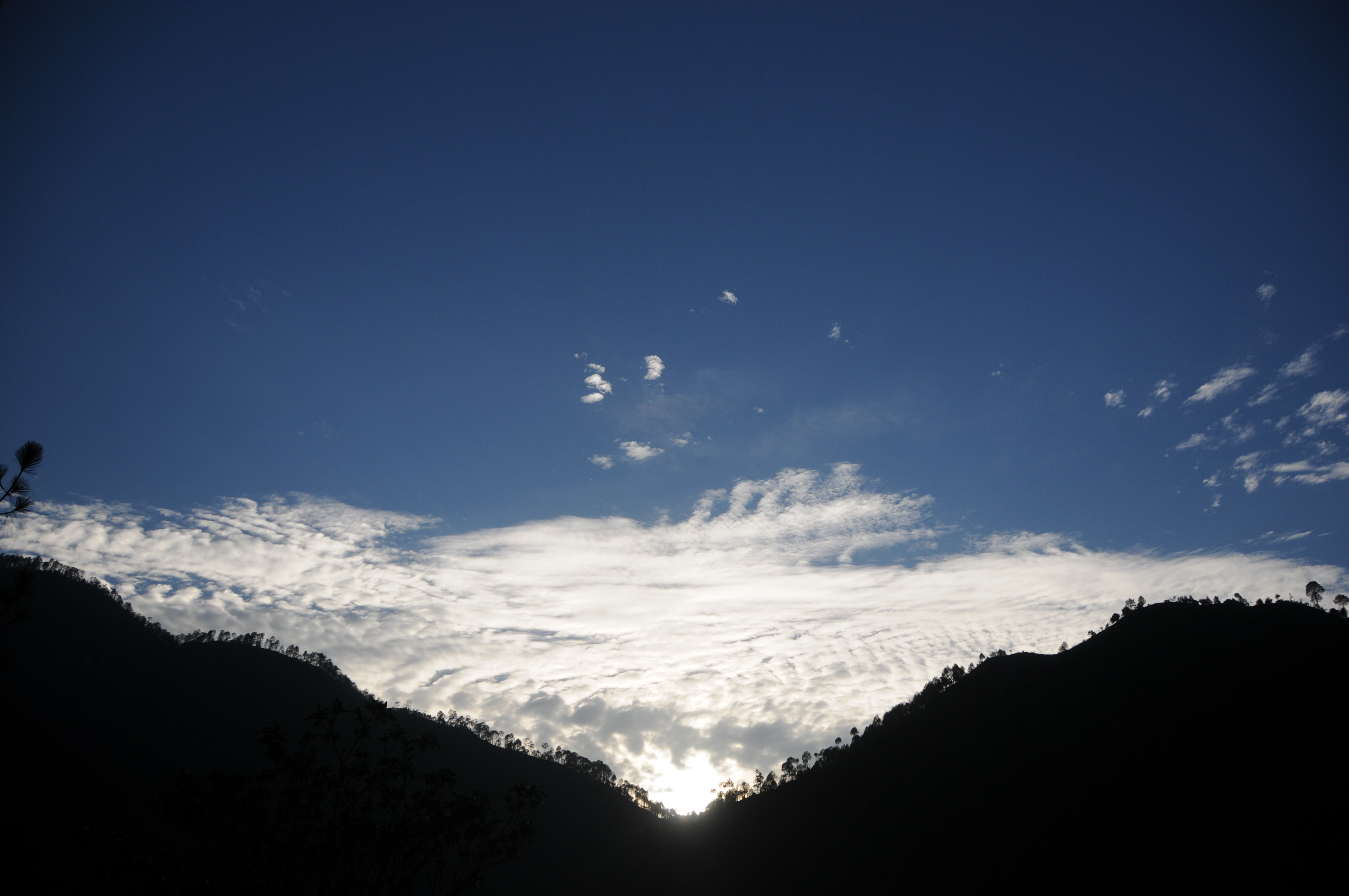
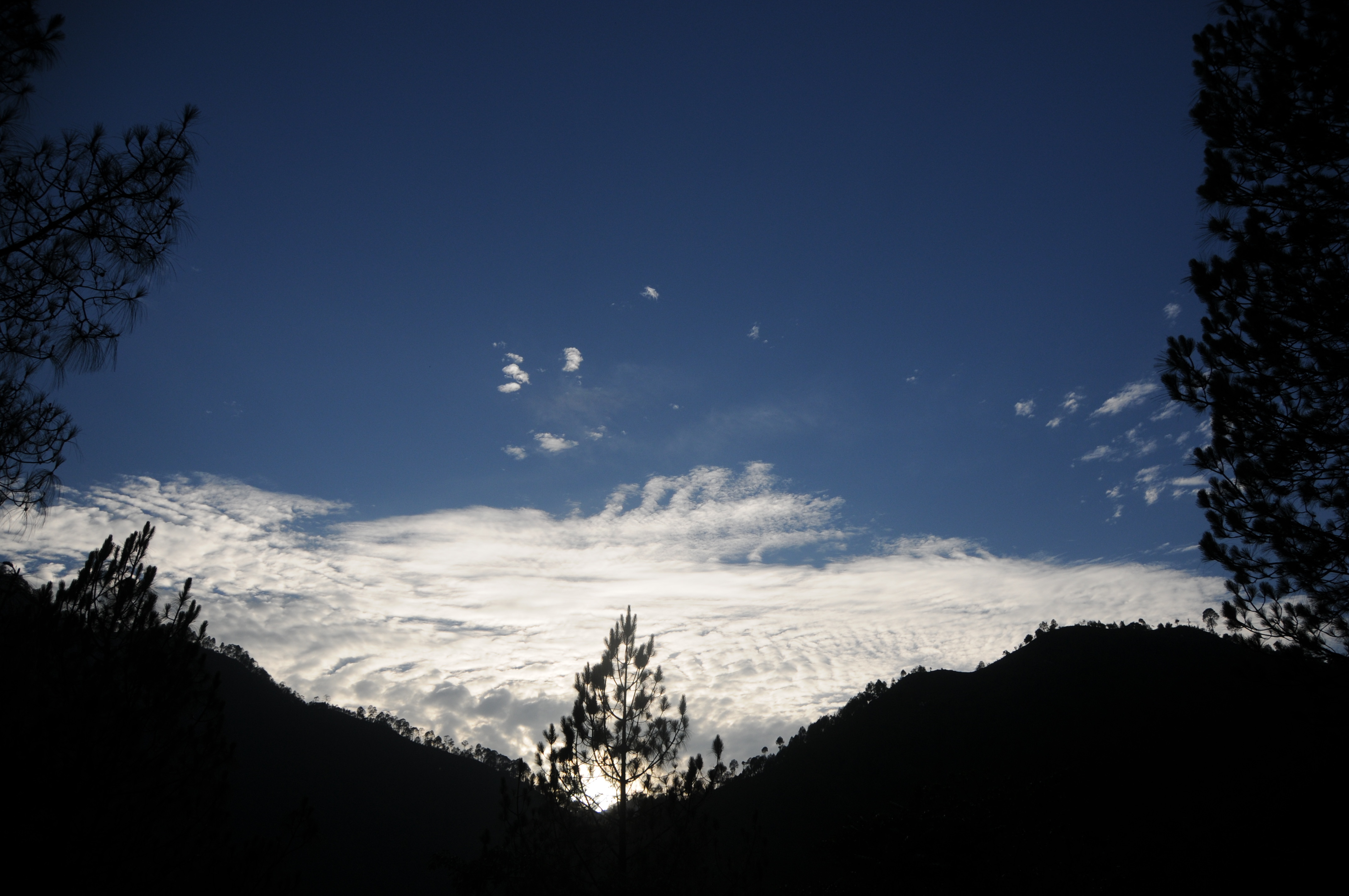
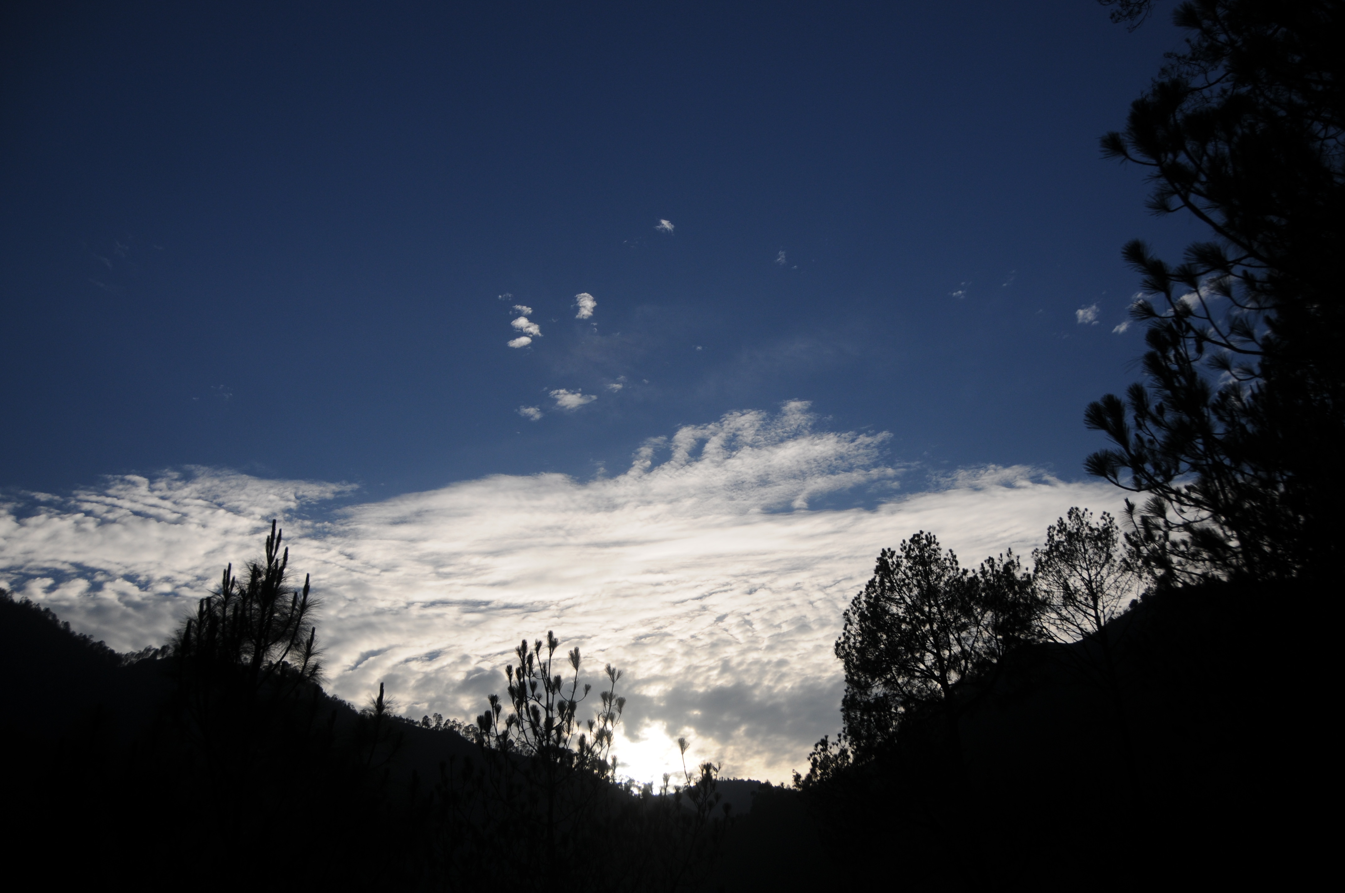
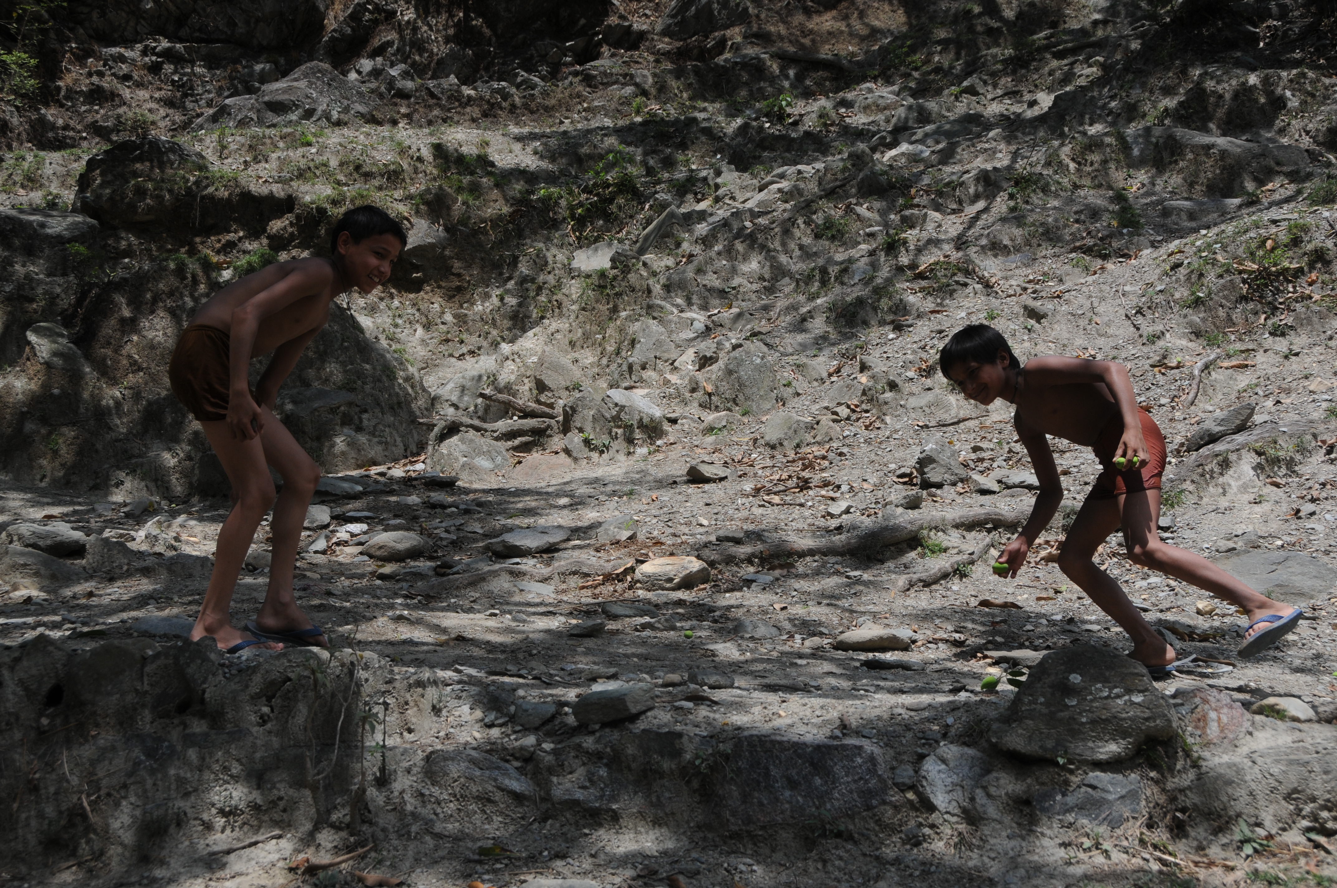
Related Photos:
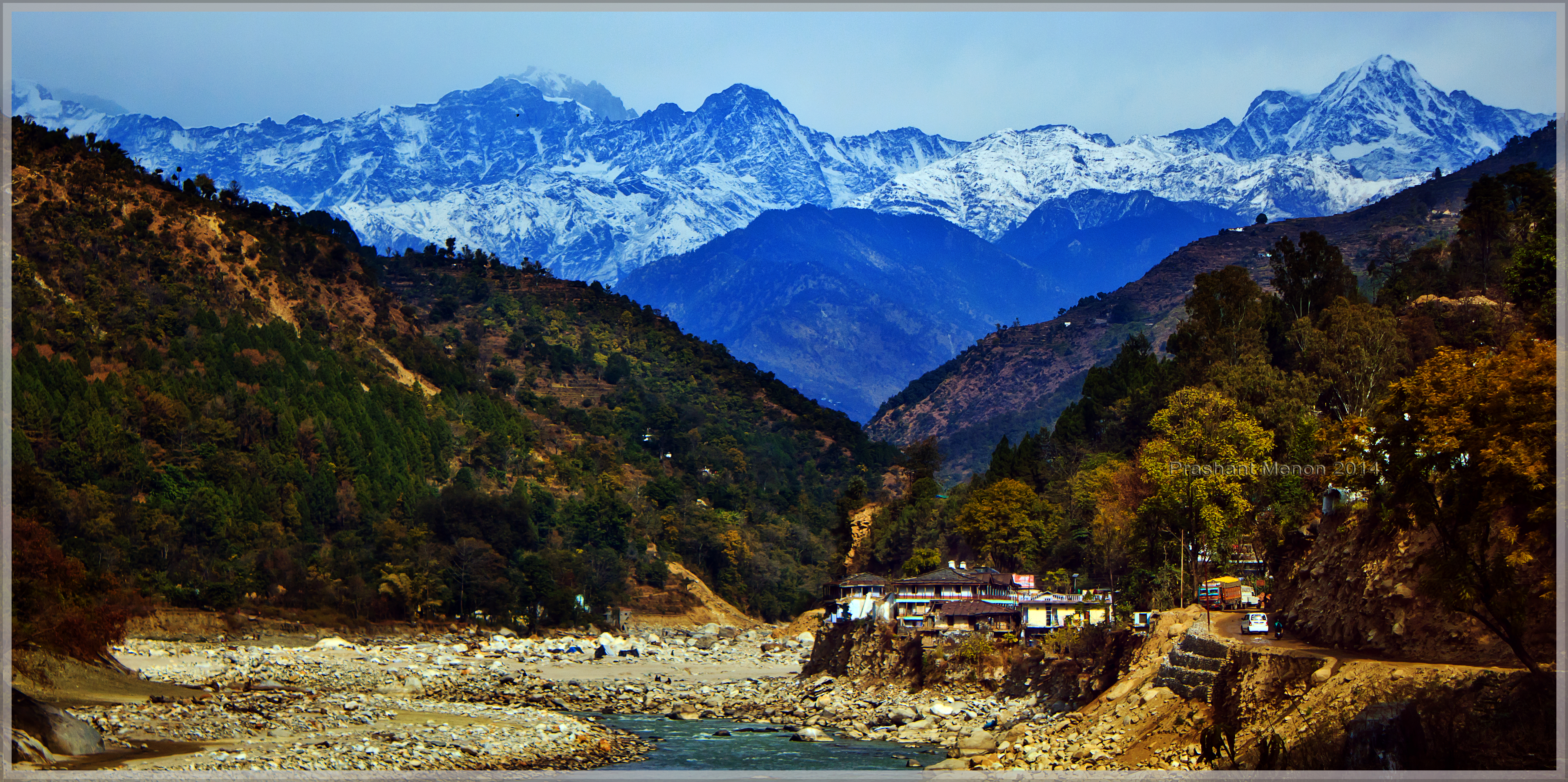
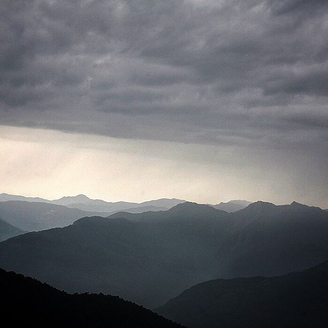
View of the snow caped Kedar sector of Gharwal Himalayas from near Sayalsur
CSP_2961.JPG
CSP_3014.JPG
CSP_2964.JPG
CSP_2966.JPG
CSP_2965.JPG
CSP_2962.JPG
CSP_3072.JPG
CSP_3041.JPG

CSP_2980.JPG
CSP_2967.JPG
CSP_2955.JPG
CSP_3049.JPG
CSP_2973.JPG
CSP_2956.JPG
CSP_3018.JPG
CSP_3022.JPG
CSP_3039.JPG
CSP_2957.JPG
CSP_2948.JPG
CSP_2979.JPG
#travel #himalaya #landscape
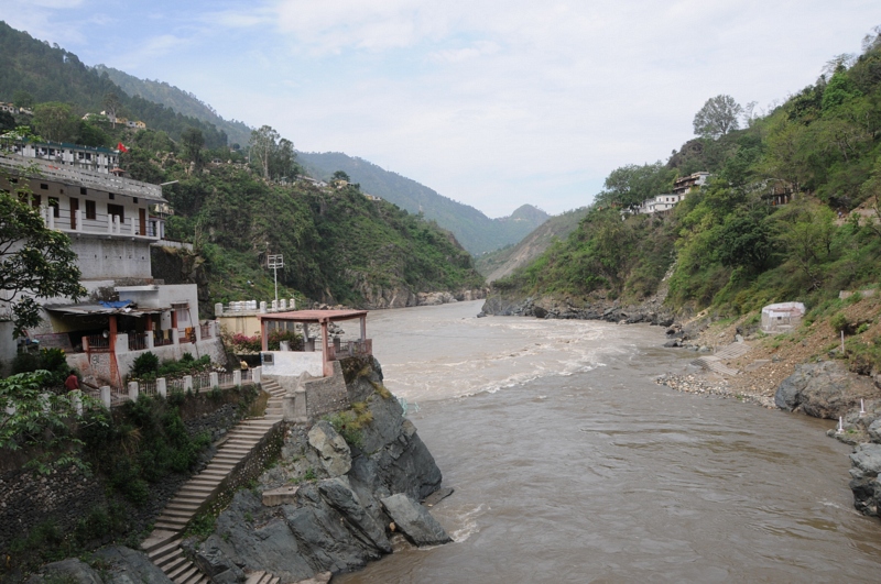
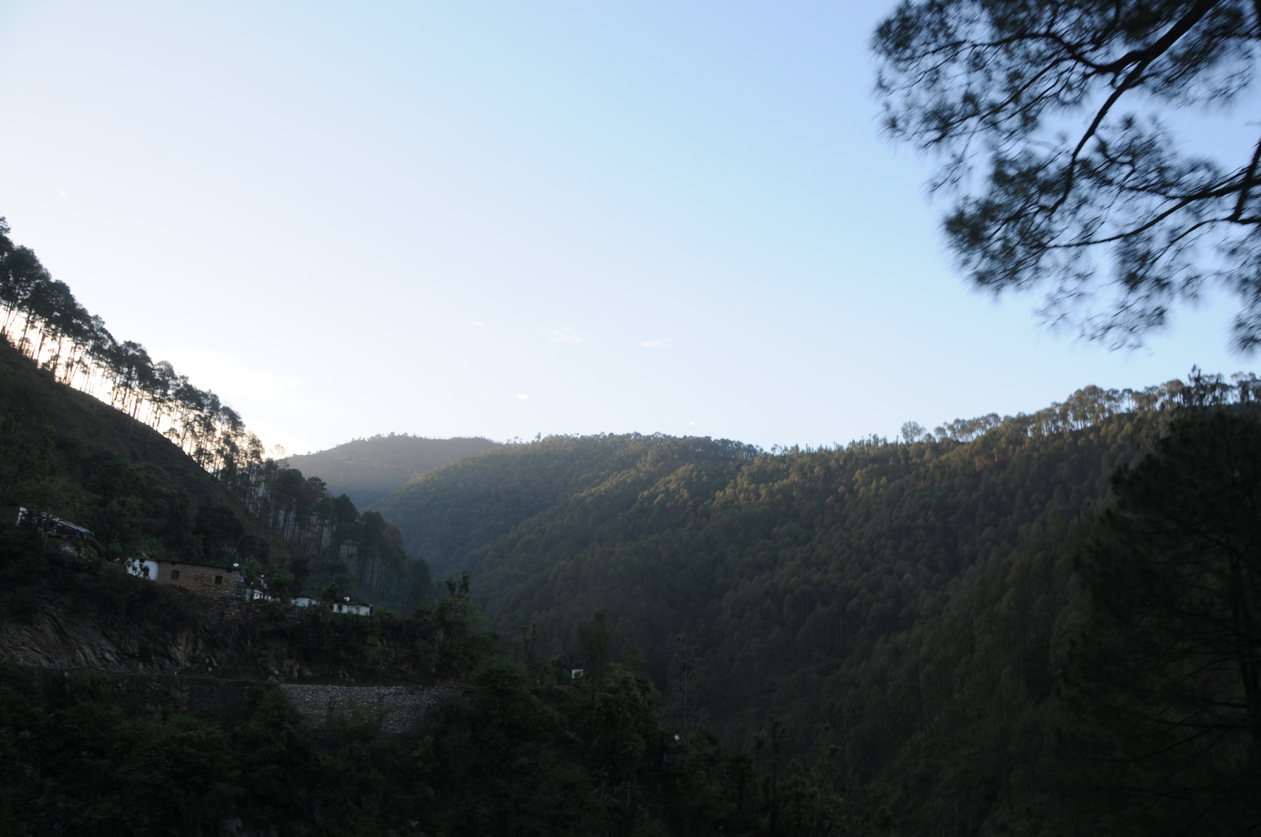
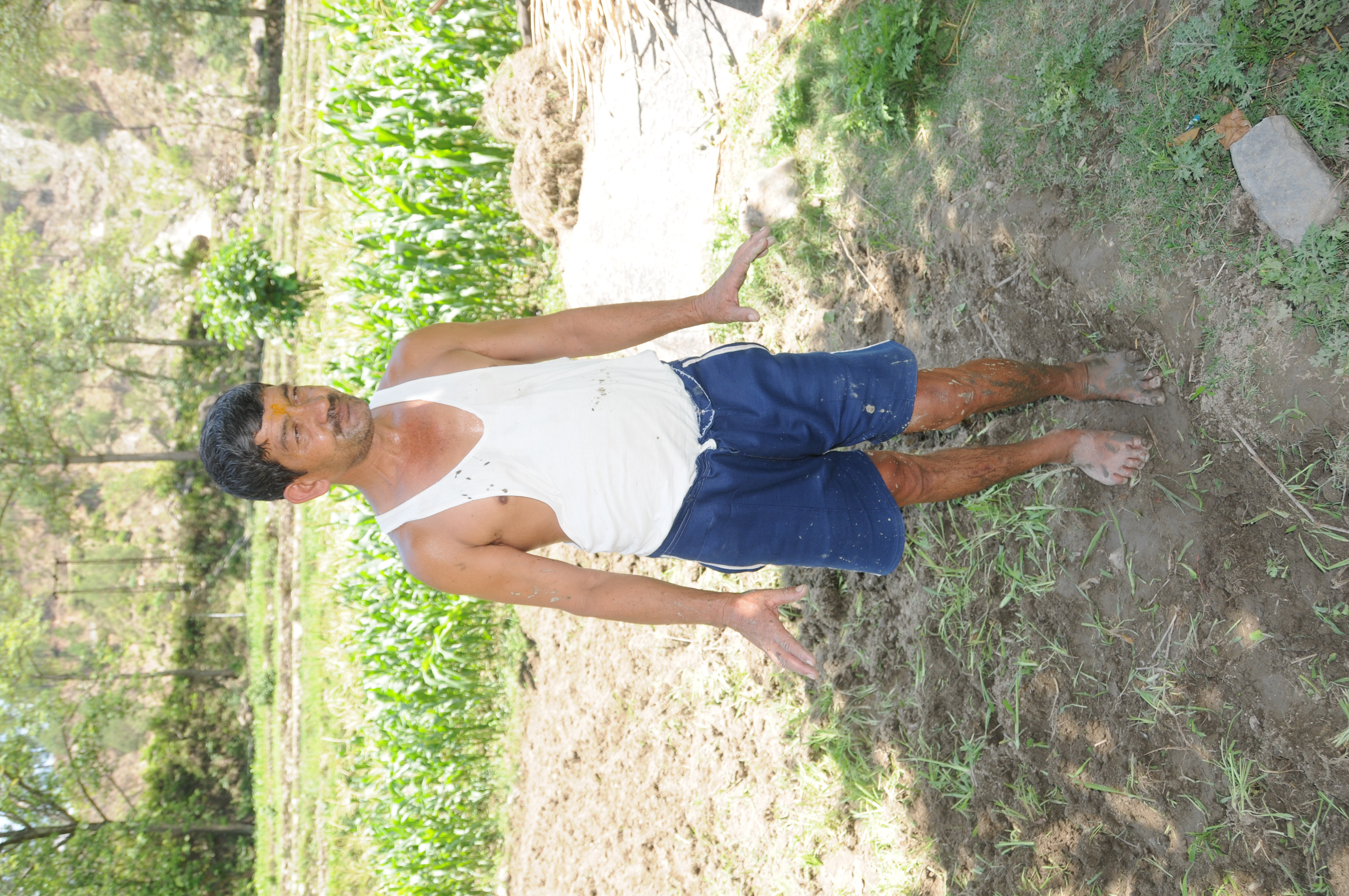
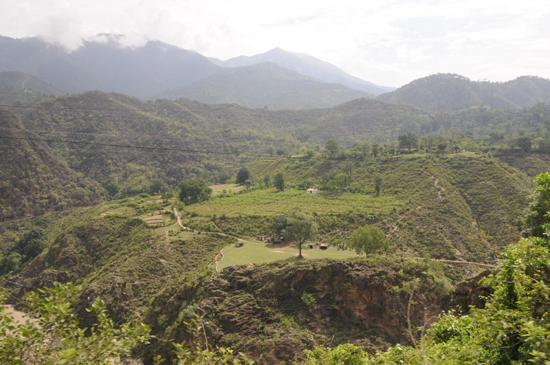
Rudraprayag, Uttarakhand
CSP_3010.JPG
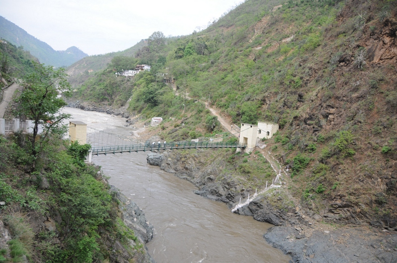
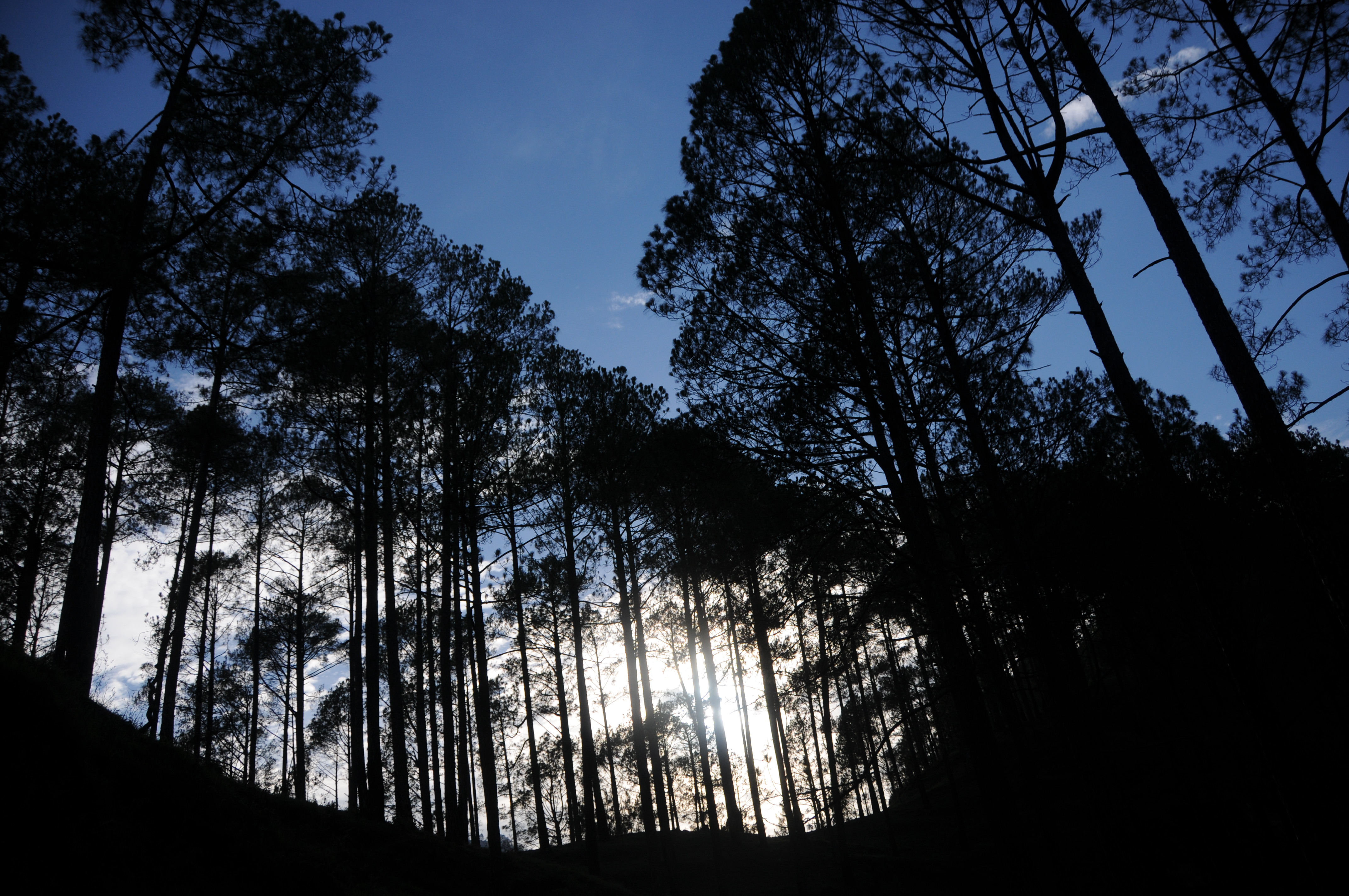
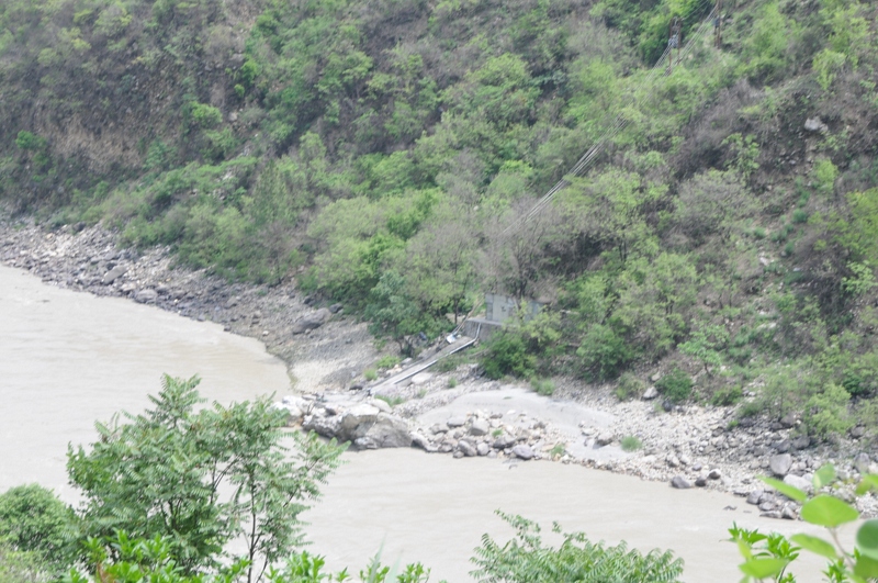
Rudraprayag, Uttarakhand
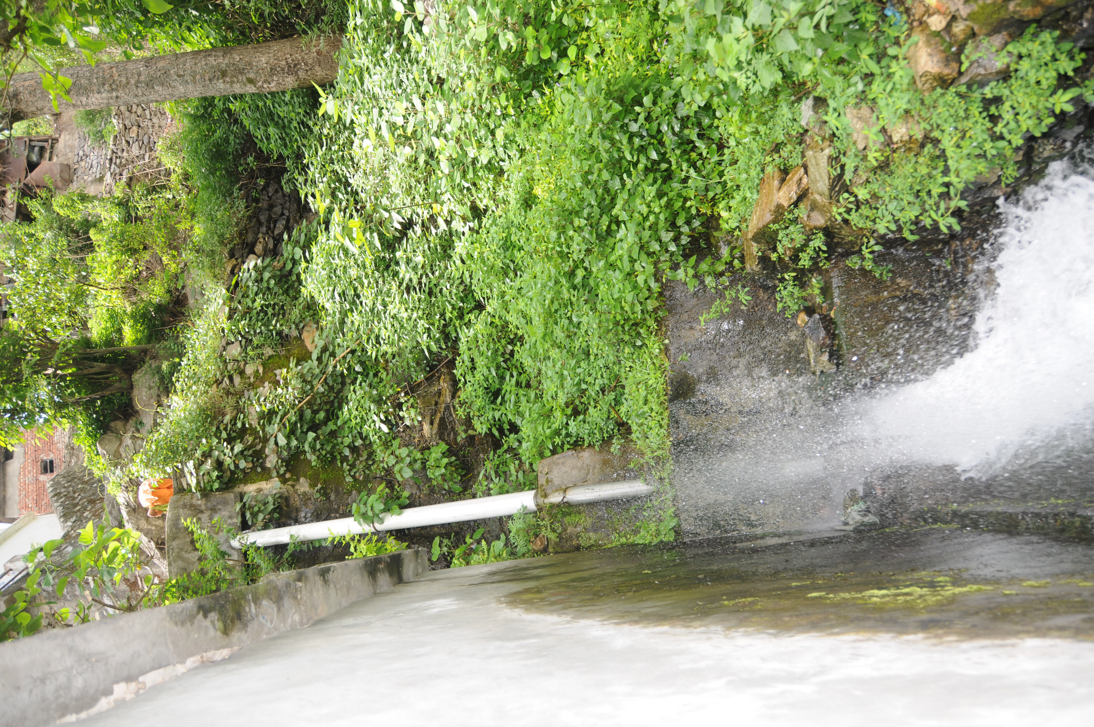
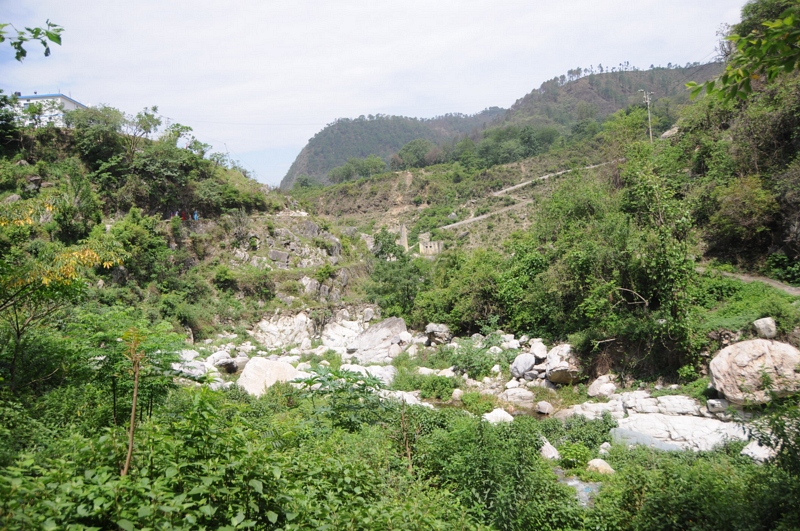
Ratura, Uttarakhand
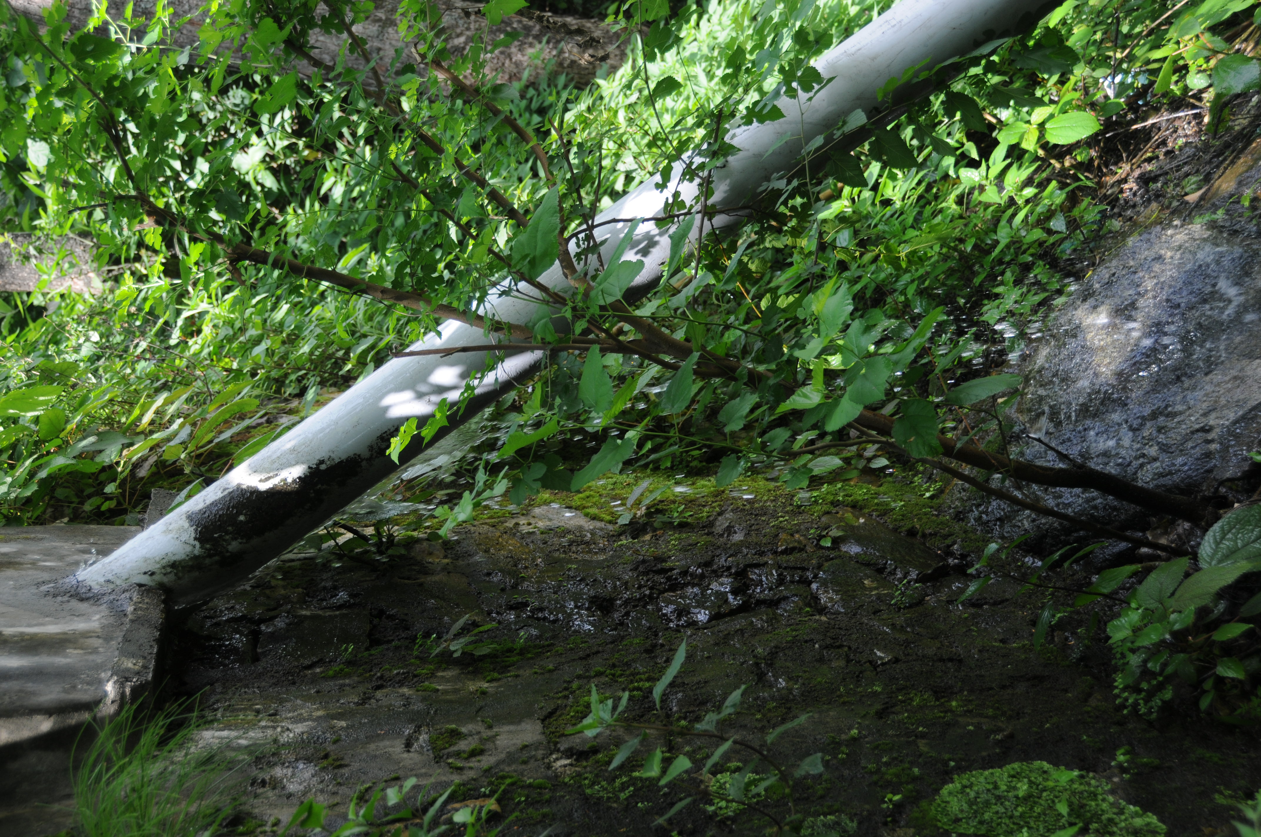
Ratura, Uttarakhand
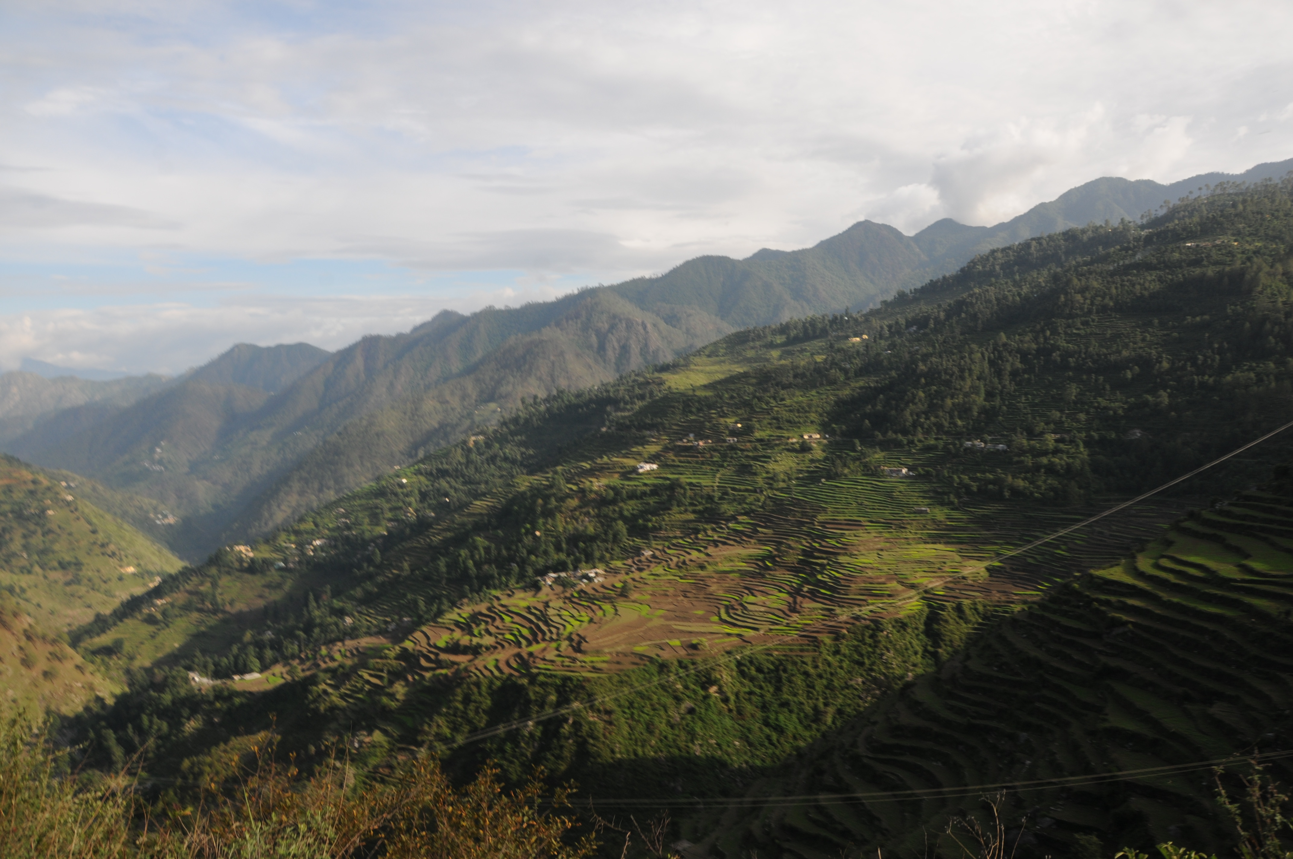
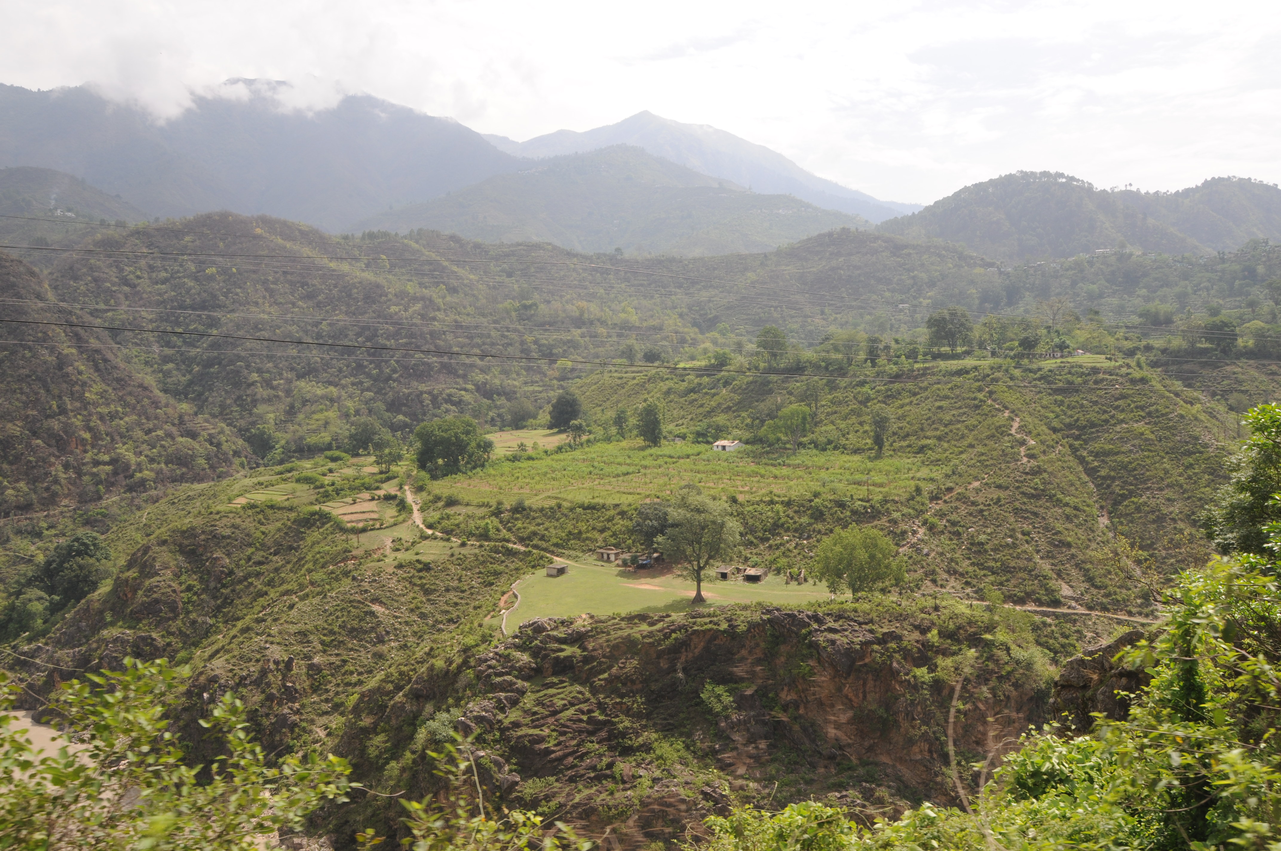
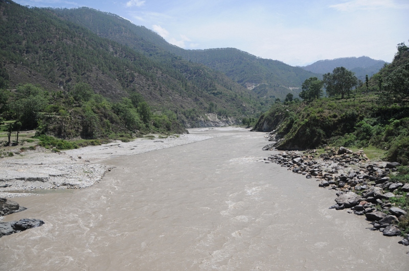
Nagrasu, Uttarakhand
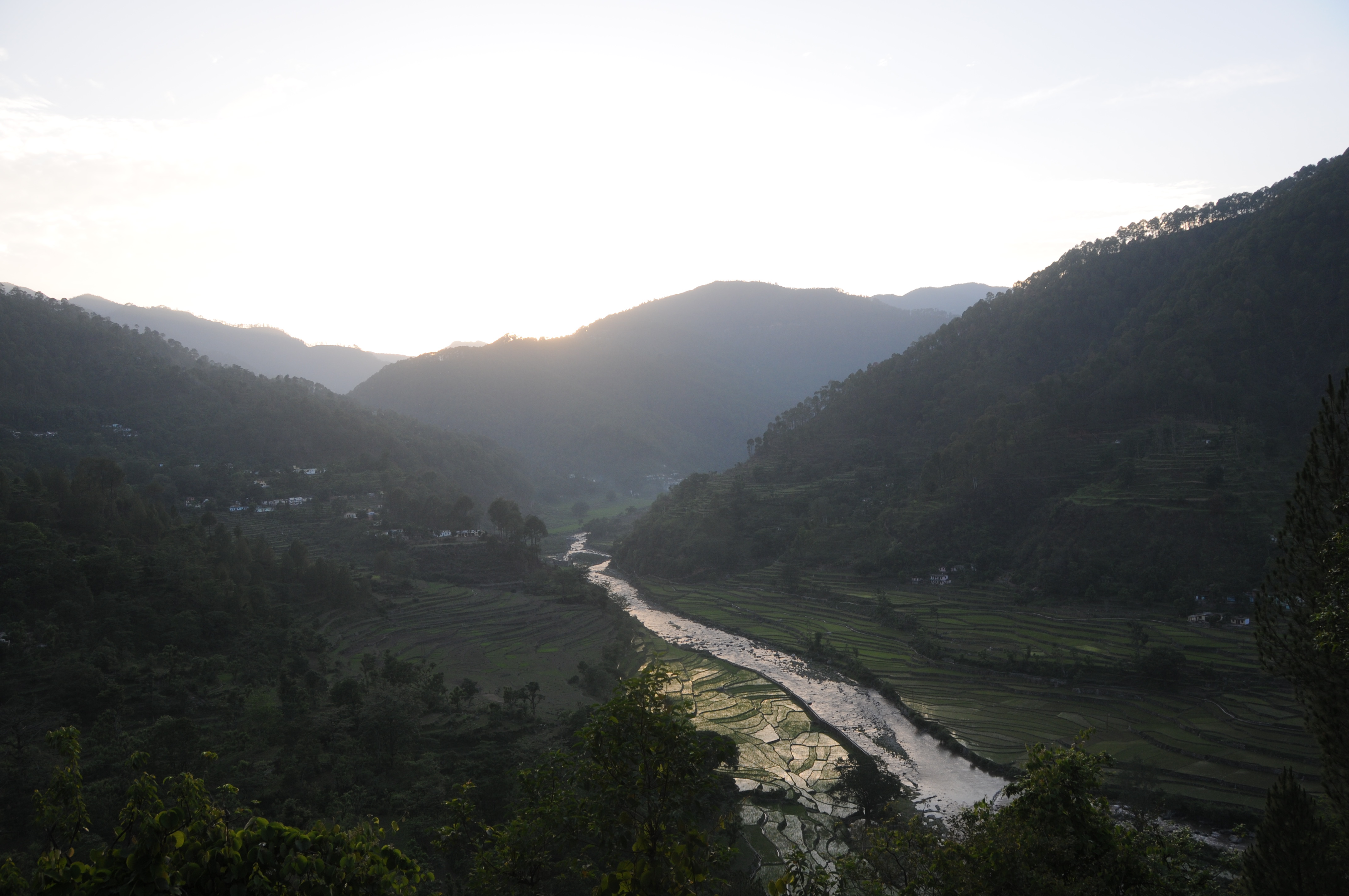
Gochar, Uttarakhand
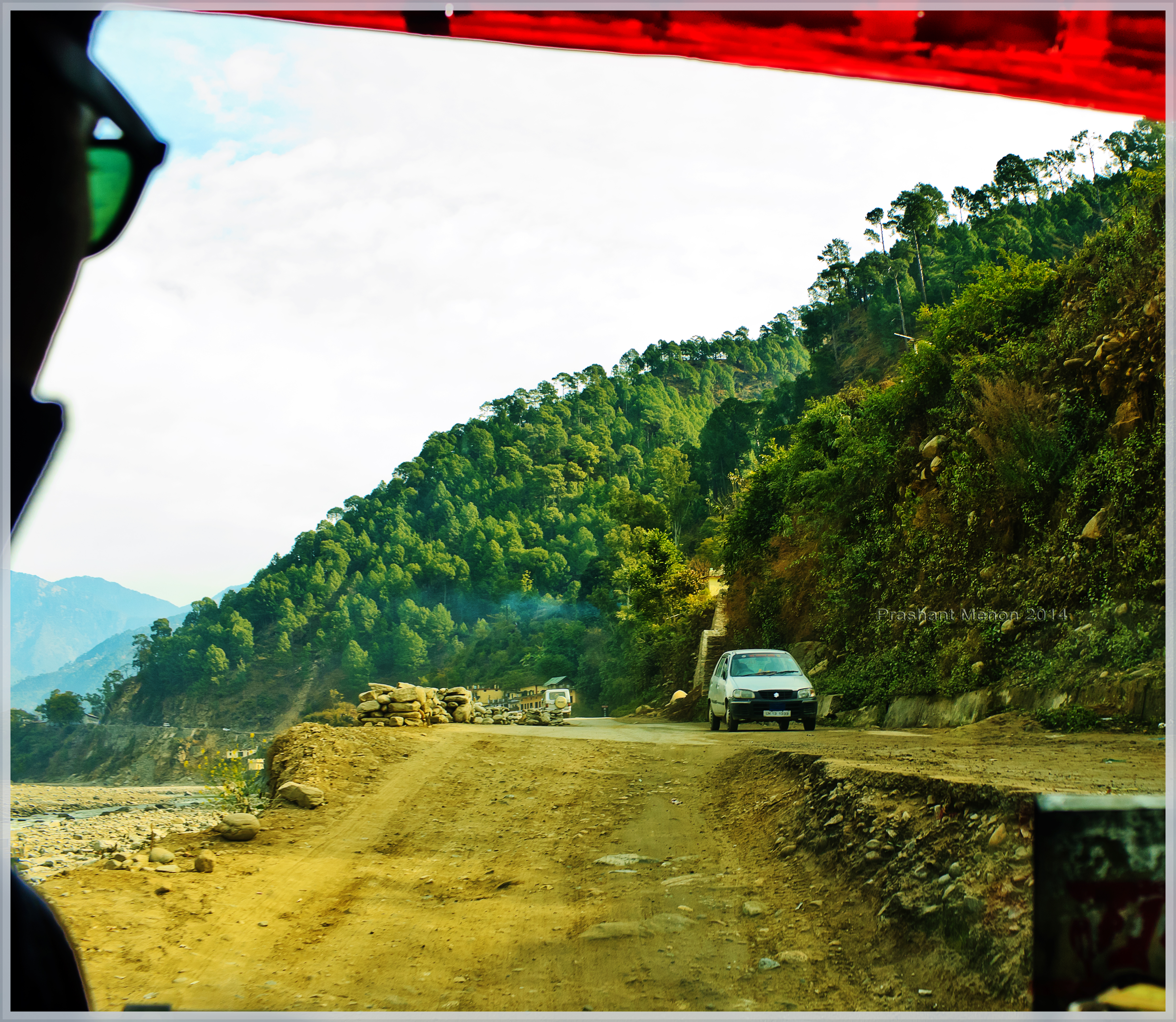
Umm This was Road once!

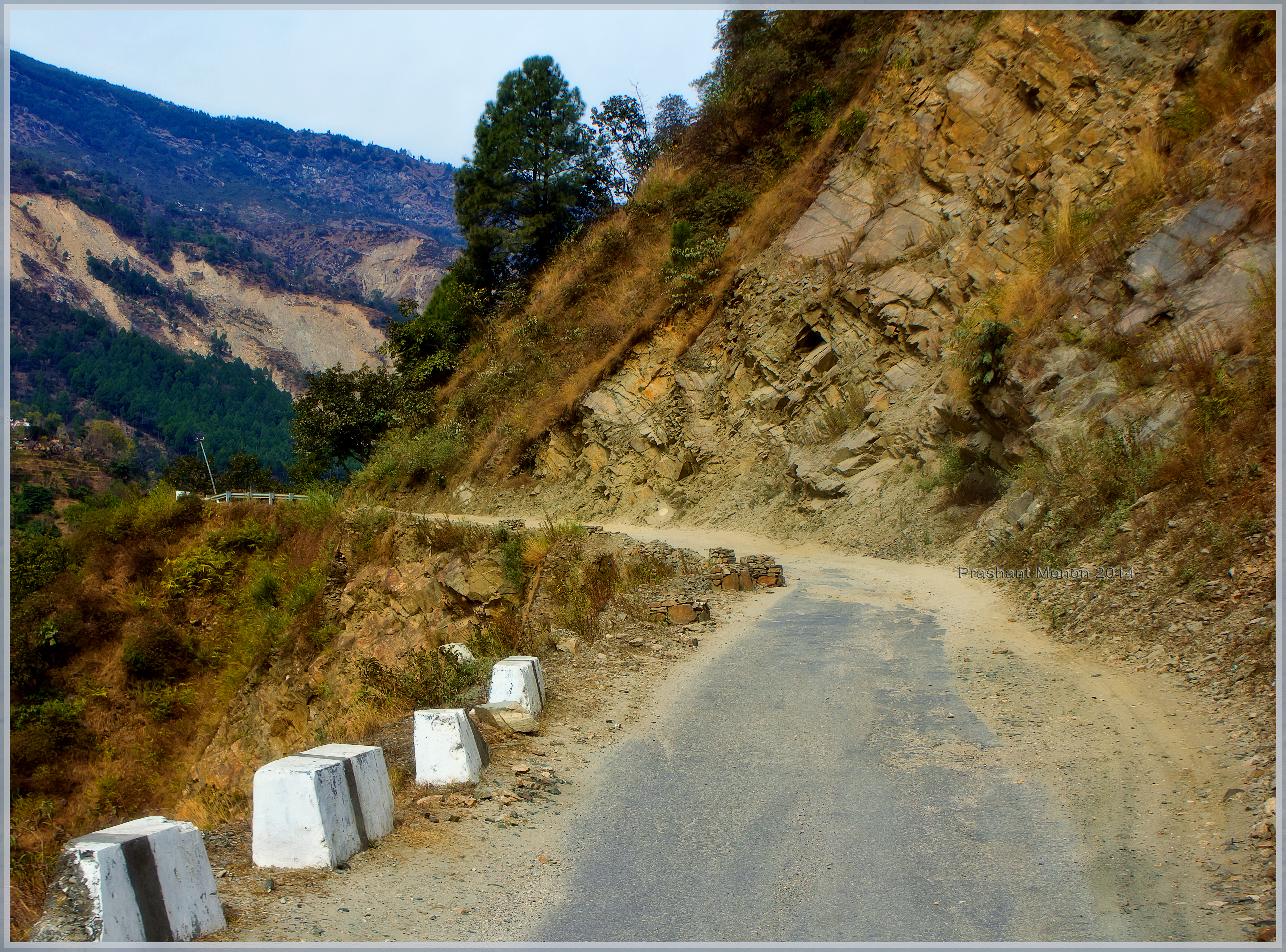
Rough roads ahead
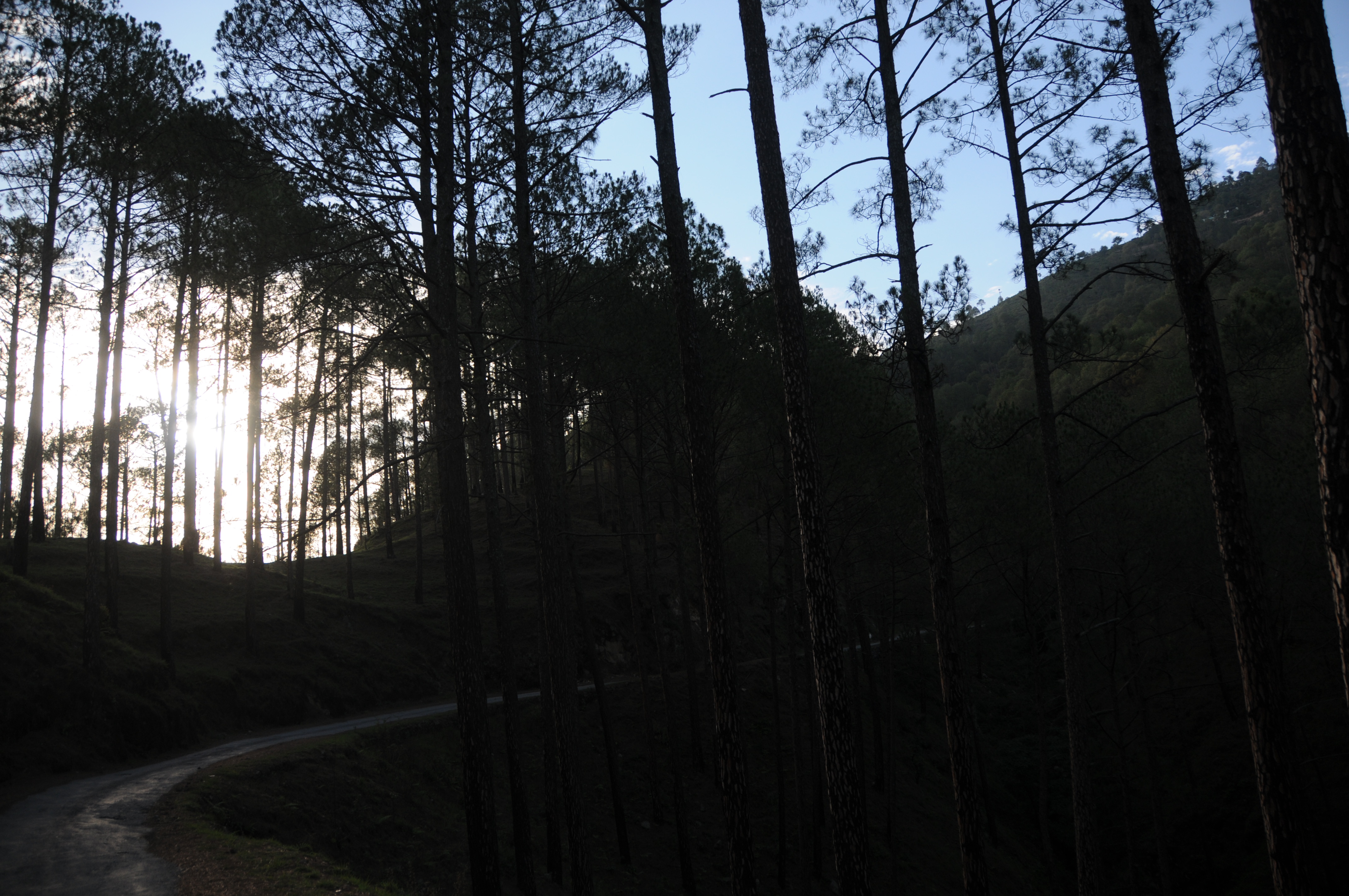
Enroute to Ukhimath
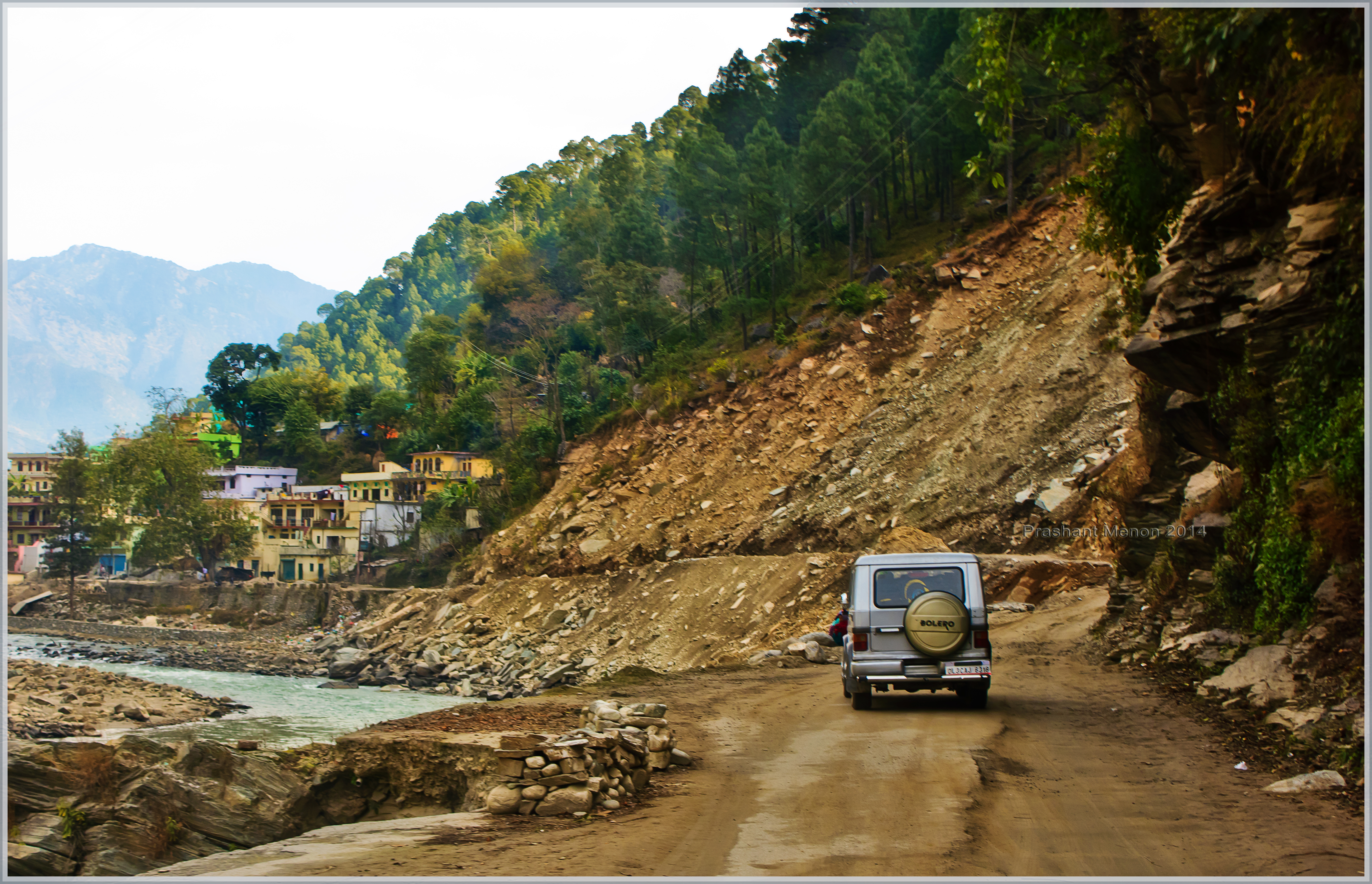
Nature fury
Topographic Map of Agastmuni, Uttarakhand, India
Find elevation by address:

Places near Agastmuni, Uttarakhand, India:
Maniguh
Durgadhar
Karndhar
Chopta
India Post Chandra Puri
Chandrapuri
Tilwara
Ratura
Koteshwar Mahadev Mandir
Madola
Rudraprayag
Tuneta
Dashjula Kandai
Shivanandi
Gholtir
Rudraprayag
Nagrasu
Chhinka
Makku Math
Ukhimath
Recent Searches:
- Elevation of Corso Fratelli Cairoli, 35, Macerata MC, Italy
- Elevation of Tallevast Rd, Sarasota, FL, USA
- Elevation of 4th St E, Sonoma, CA, USA
- Elevation of Black Hollow Rd, Pennsdale, PA, USA
- Elevation of Oakland Ave, Williamsport, PA, USA
- Elevation of Pedrógão Grande, Portugal
- Elevation of Klee Dr, Martinsburg, WV, USA
- Elevation of Via Roma, Pieranica CR, Italy
- Elevation of Tavkvetili Mountain, Georgia
- Elevation of Hartfords Bluff Cir, Mt Pleasant, SC, USA