Elevation of Karndhar, Uttarakhand, India
Location: India > Uttarakhand > Rudraprayag >
Longitude: 78.9945687
Latitude: 30.3531685
Elevation: 1142m / 3747feet
Barometric Pressure: 88KPa
Elevation Map:
Satellite Map:
Related Photos:

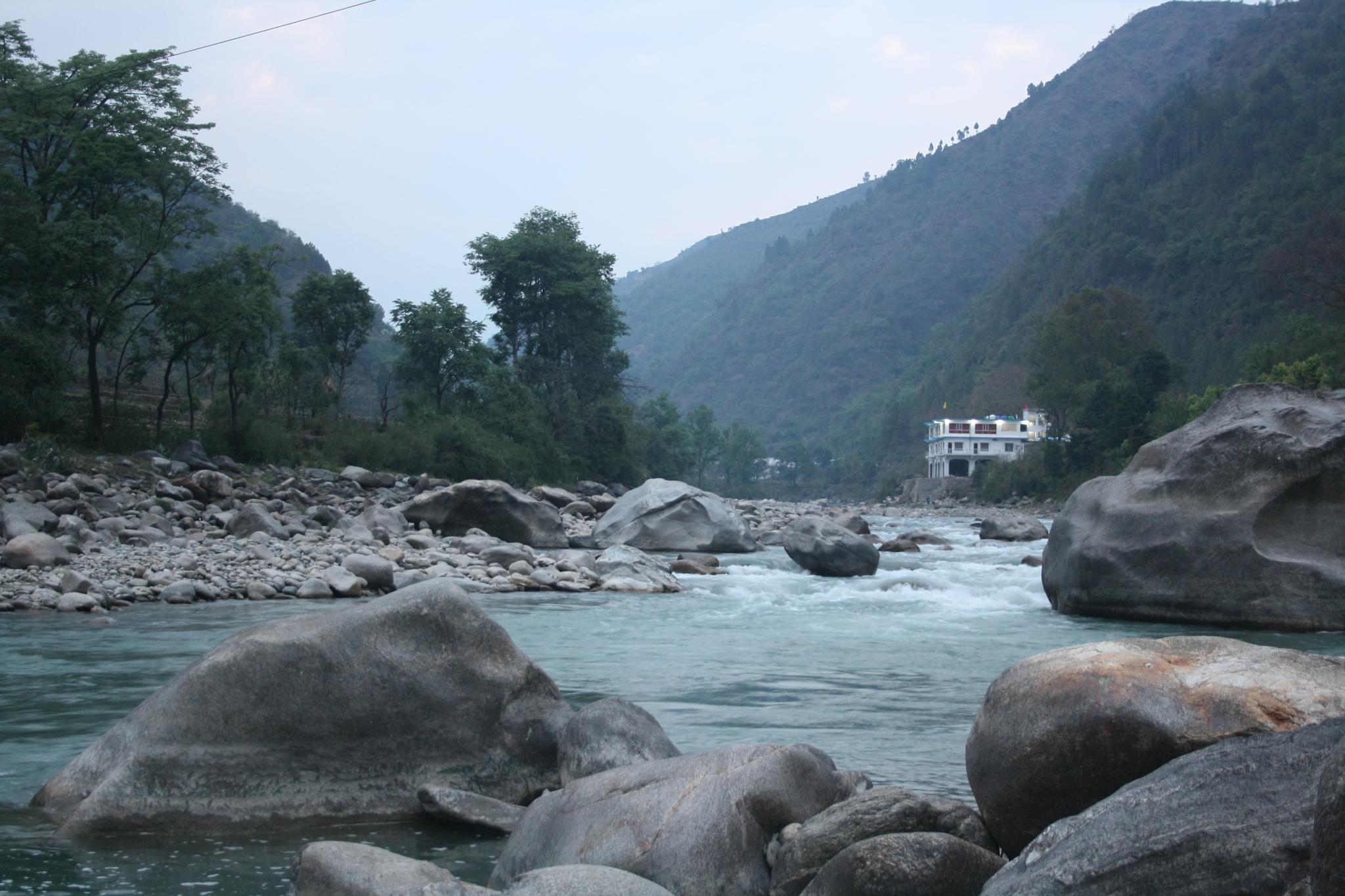
Gochar, Uttarakhand

Rudraprayag, Uttarakhand

Rudraprayag, Uttarakhand

Rudraprayag, Uttarakhand

Rudraprayag, Uttarakhand

Rudraprayag, Uttarakhand
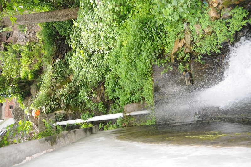
Nagrasu, Uttarakhand

Rudraprayag, Uttarakhand

Nagrasu, Uttarakhand

Gochar, Uttarakhand

Rudraprayag, Uttarakhand

Rudraprayag, Uttarakhand

Gochar, Uttarakhand

Gochar, Uttarakhand

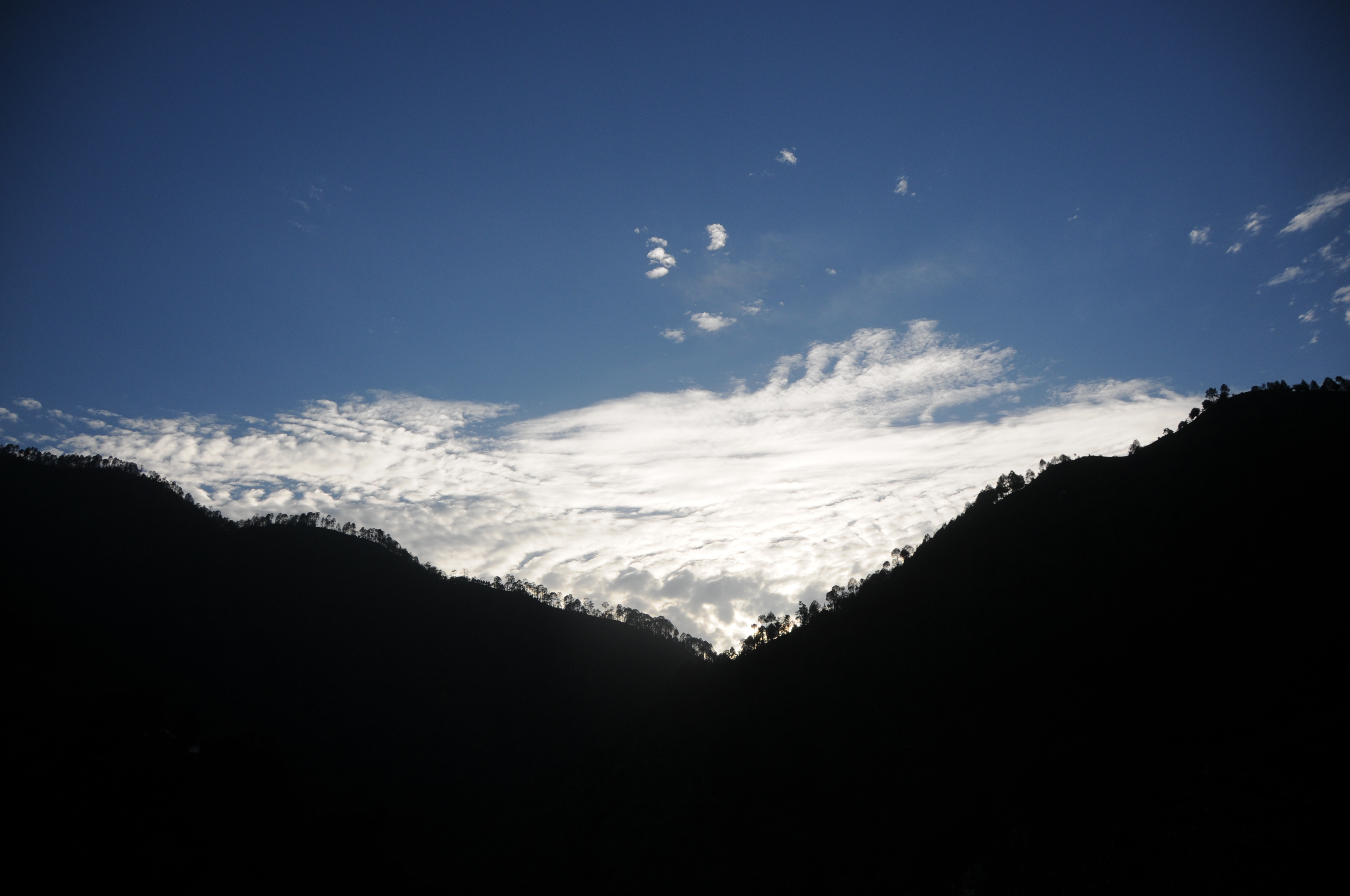
Ratura, Uttarakhand

Gochar, Uttarakhand

Nagrasu, Uttarakhand

Gochar, Uttarakhand

Nagrasu, Uttarakhand

Nagrasu, Uttarakhand

Nagrasu, Uttarakhand
Mandakini river, originating at Kedarnath

Mandakini at Syalsaur TRH

Rudraprayag, Uttarakhand

Rudraprayag, Uttarakhand

CSP_2966.JPG
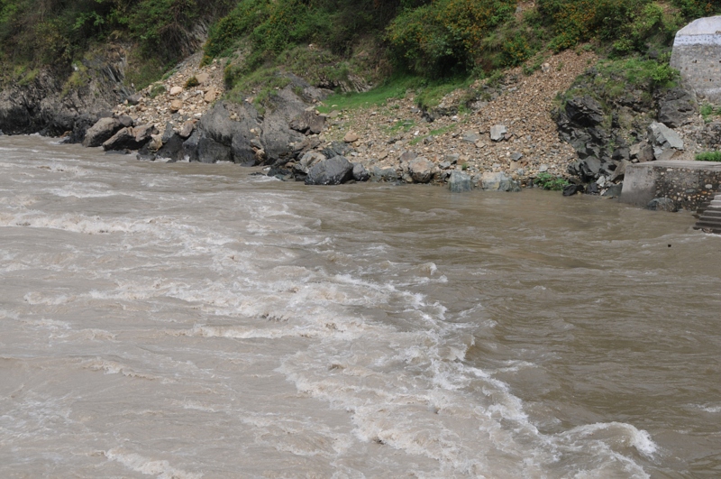
Rudraprayag, Uttarakhand

Rudraprayag, Uttarakhand

CSP_2994.JPG

CSP_2965.JPG

CSP_2995.JPG

CSP_2980.JPG
CSP_2967.JPG

CSP_3003.JPG

CSP_3004.JPG

CSP_3000.JPG

Good morning, from Rudraprayag

Pure bliss

Alaknanda River from Badrinath on the left joins the swifter flowing Mandakini from Badrinath on the right at Rudraprayag, the second of the Pancha Prayags. We all bathed here today during the Namarupa Pancha Prayag Yatra. Brave Yatris! ॐ

#rudraprayag #jaimaagange

Rudraprayag - Confluence of Alaknanda & Mandakini
Topographic Map of Karndhar, Uttarakhand, India
Find elevation by address:

Places near Karndhar, Uttarakhand, India:
Tilwara
Durgadhar
Agastmuni
Koteshwar Mahadev Mandir
Chopta
Tuneta
Ratura
Rudraprayag
Maniguh
Madola
Shivanandi
India Post Chandra Puri
Chandrapuri
Gholtir
Dashjula Kandai
Bazeera
Manjuli
Nagrasu
Batoli
Chhinka
Recent Searches:
- Elevation of Corso Fratelli Cairoli, 35, Macerata MC, Italy
- Elevation of Tallevast Rd, Sarasota, FL, USA
- Elevation of 4th St E, Sonoma, CA, USA
- Elevation of Black Hollow Rd, Pennsdale, PA, USA
- Elevation of Oakland Ave, Williamsport, PA, USA
- Elevation of Pedrógão Grande, Portugal
- Elevation of Klee Dr, Martinsburg, WV, USA
- Elevation of Via Roma, Pieranica CR, Italy
- Elevation of Tavkvetili Mountain, Georgia
- Elevation of Hartfords Bluff Cir, Mt Pleasant, SC, USA