Elevation of Gopeshwar, Uttarakhand, India
Location: India > Uttarakhand > Chamoli >
Longitude: 79.3197973
Latitude: 30.4095258
Elevation: 1475m / 4839feet
Barometric Pressure: 85KPa
Elevation Map:
Satellite Map:
Related Photos:

the layers we leave behind...
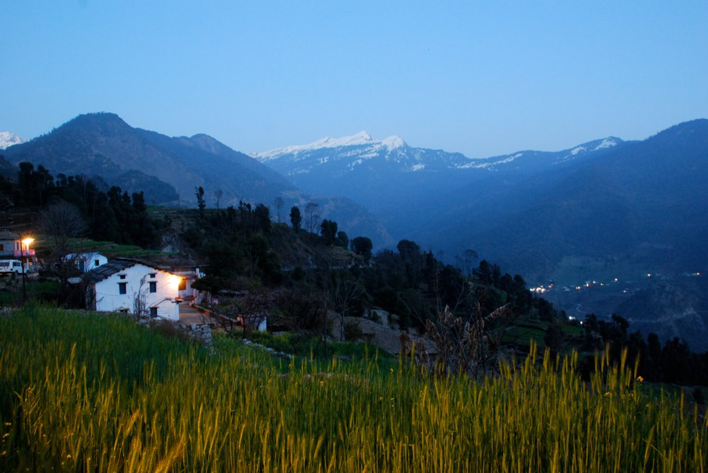
Mountain Dusk

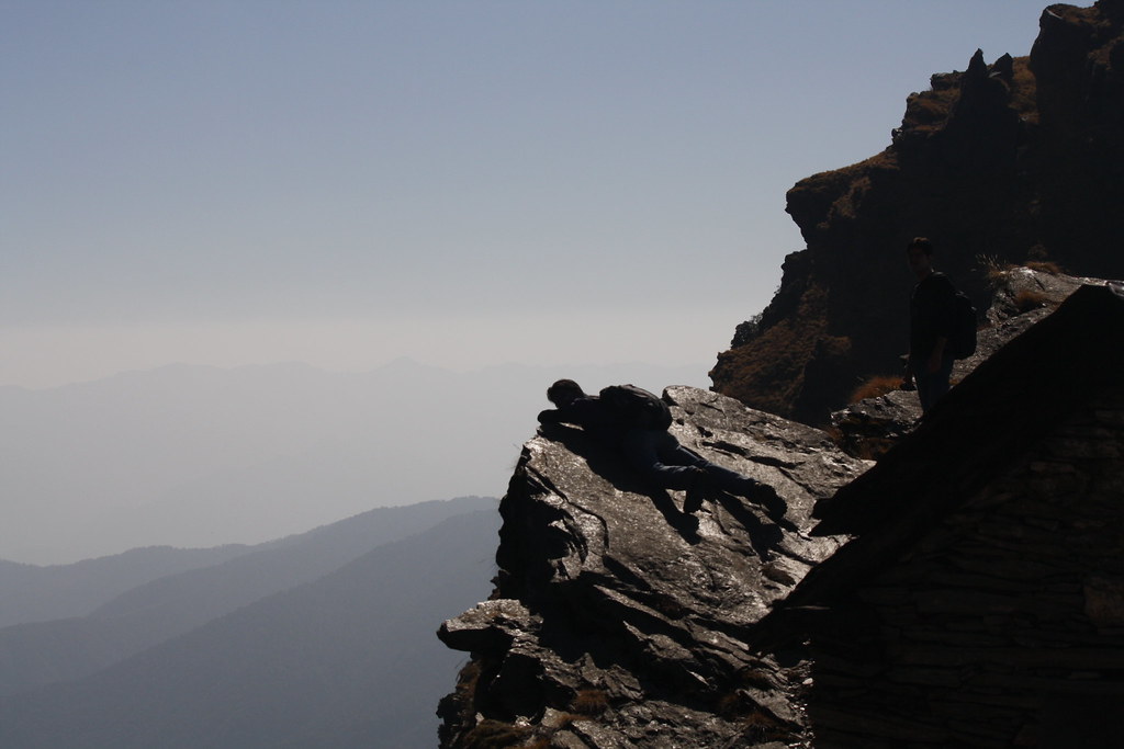
Six feet from the edge

Top o' the mountain - Chandrashila

Chopta Mountain View
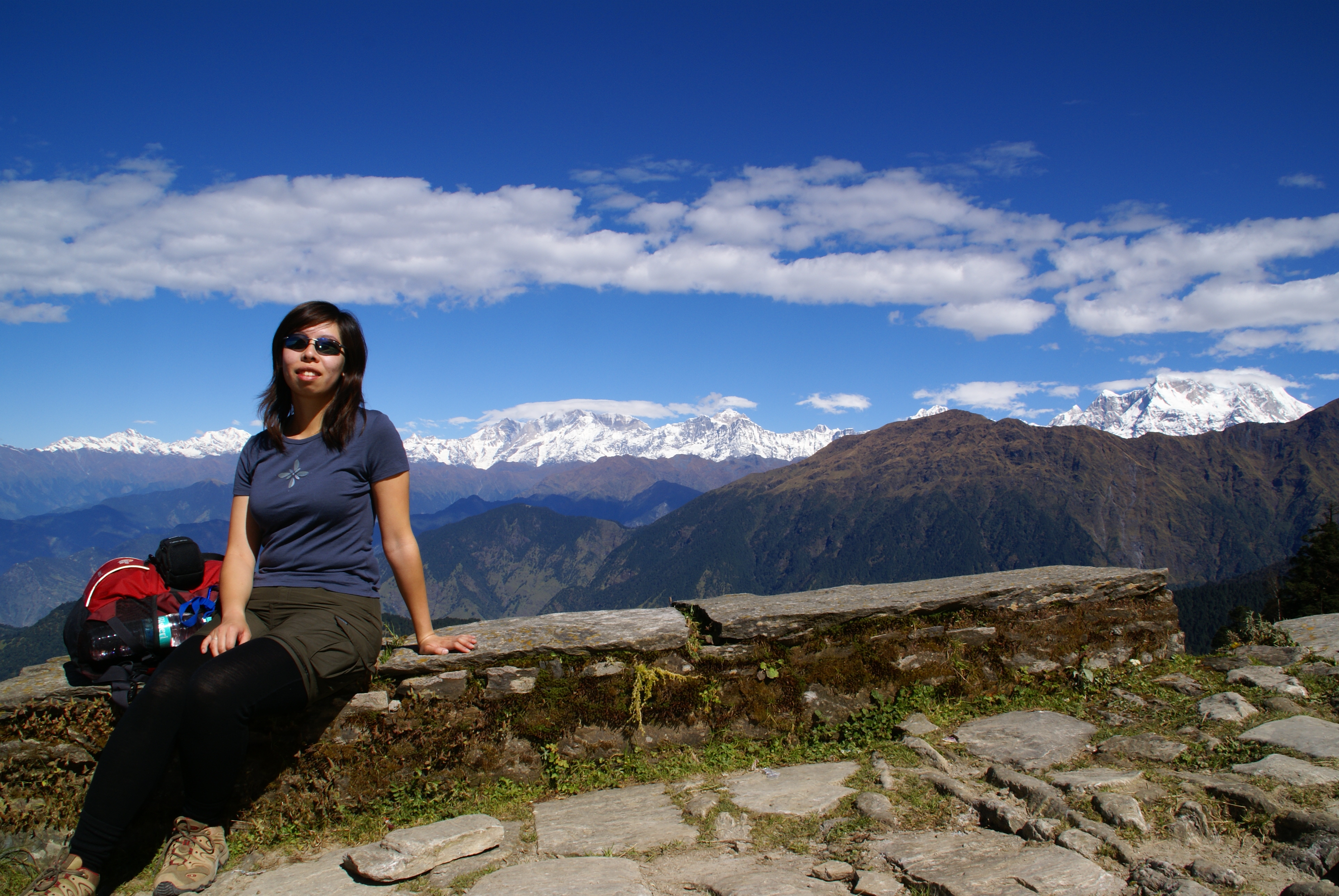
Clara taking a break

chopta downwards

who put those stones up there??

wish you were here

nanda devi
a great day for freedom

on the rhododendron trail...
remember a day

grrrr...

... river Alaknanda near Maithana

is there anybody out there

Nandaprayag - Confluence of Alaknanda and Nandakini

ur lips move but i can't hear what you say

Wot's Uh the deal

... Chamoli

... towards Chamoli

Kaleshwar - Alaknanda River

... river Alaknanda near Maithana
"Alakananda" near Peepal Kothi
20140503-DSC_0537_hdr

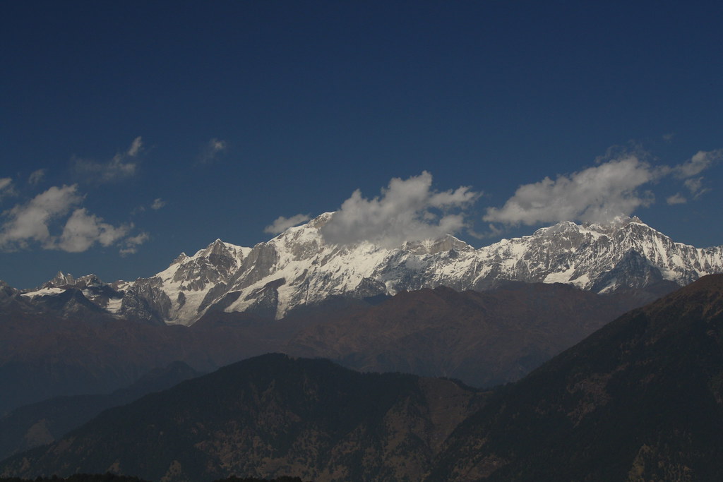
Mandani Peak
Topographic Map of Gopeshwar, Uttarakhand, India
Find elevation by address:

Places near Gopeshwar, Uttarakhand, India:
Maithana
Chandrashila
Tungnath
Tungnath
Dasoli Kandai
Siwai
Karnaprayag
Makku Math
Ustoli
Caritas Project Maria Ashram,ustoli
Chhinka
Dashjula Kandai
Nagrasu
Raunlek
Ukhimath
Chandrapuri
India Post Chandra Puri
Ransi
Gholtir
Maniguh
Recent Searches:
- Elevation of Corso Fratelli Cairoli, 35, Macerata MC, Italy
- Elevation of Tallevast Rd, Sarasota, FL, USA
- Elevation of 4th St E, Sonoma, CA, USA
- Elevation of Black Hollow Rd, Pennsdale, PA, USA
- Elevation of Oakland Ave, Williamsport, PA, USA
- Elevation of Pedrógão Grande, Portugal
- Elevation of Klee Dr, Martinsburg, WV, USA
- Elevation of Via Roma, Pieranica CR, Italy
- Elevation of Tavkvetili Mountain, Georgia
- Elevation of Hartfords Bluff Cir, Mt Pleasant, SC, USA