Elevation of Goldenstedt, Germany
Location: Germany > Lower Saxony >
Longitude: 8.4350521
Latitude: 52.7895218
Elevation: 35m / 115feet
Barometric Pressure: 101KPa
Elevation Map:
Satellite Map:
Related Photos:

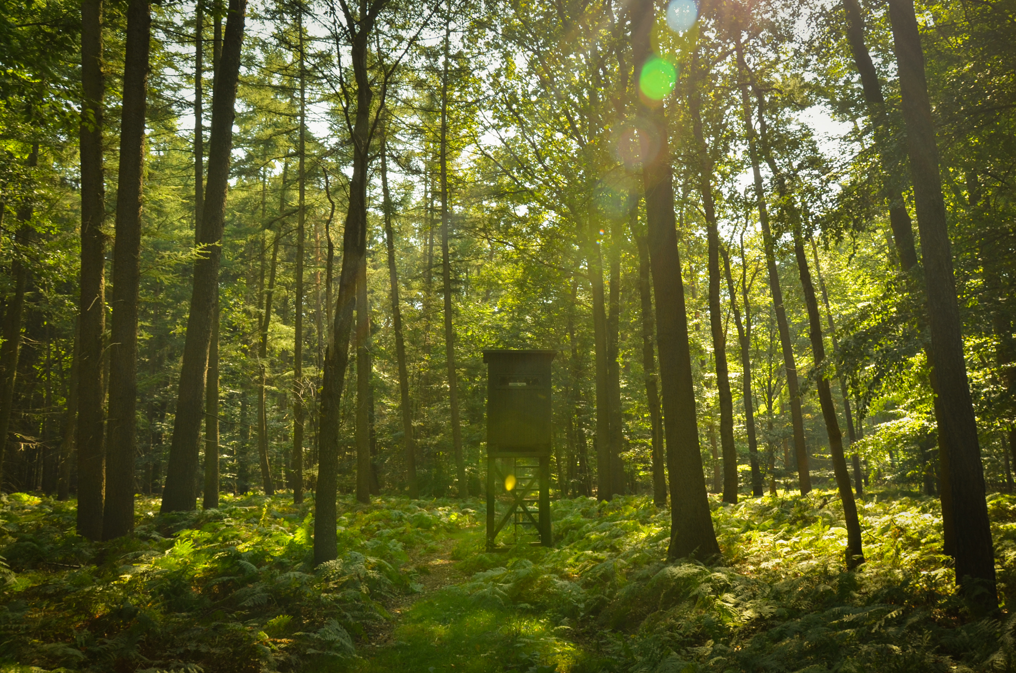
Rural Beauty VIII

St. Laurentius
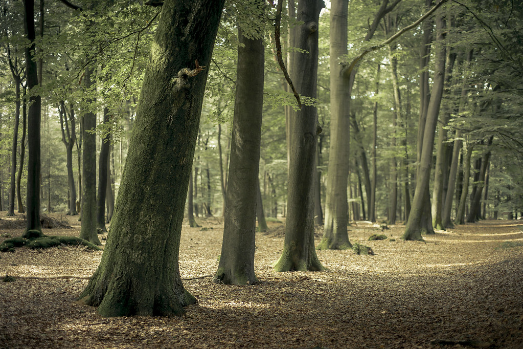
Front Row

Short Tales Of The Black Forest
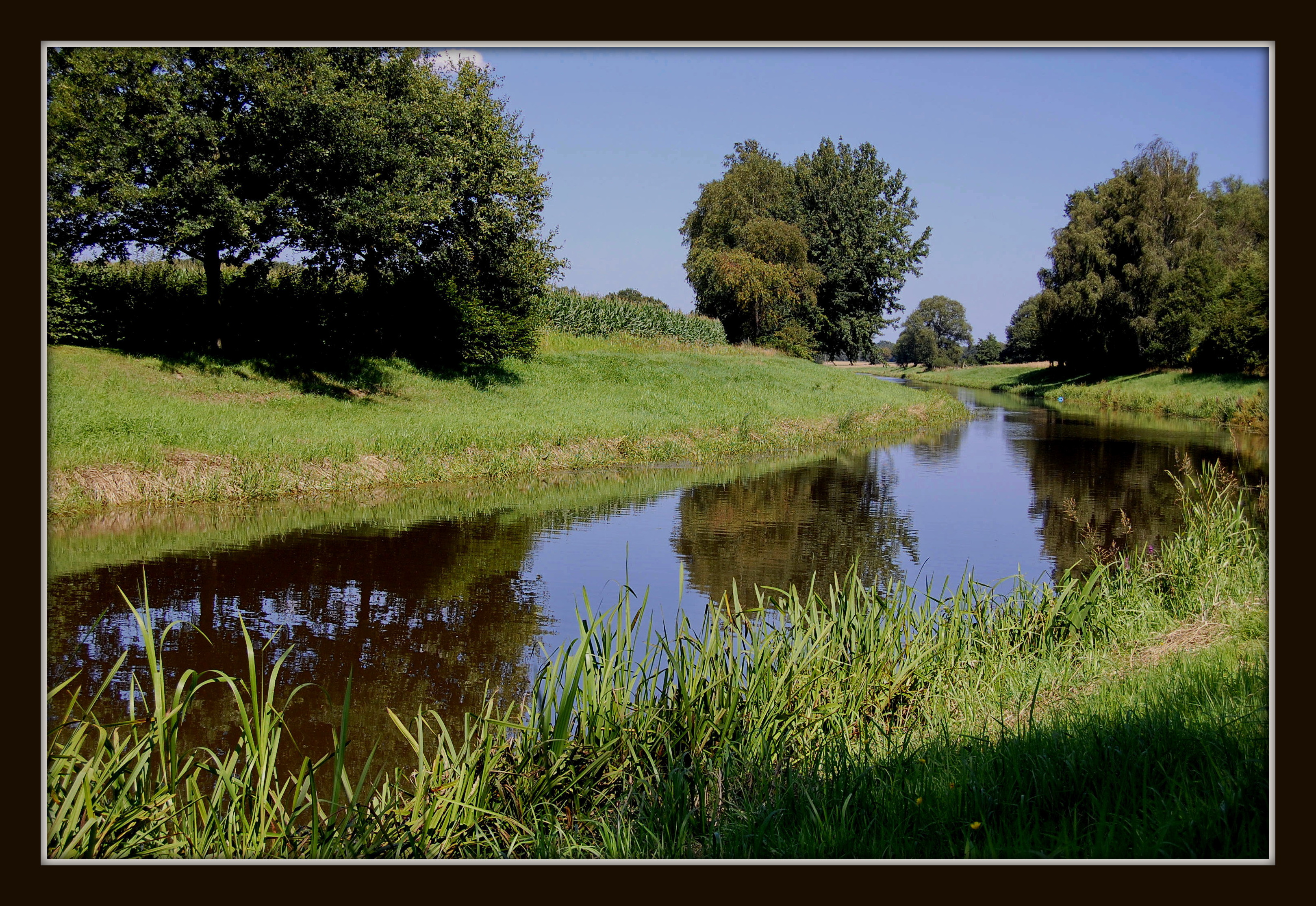
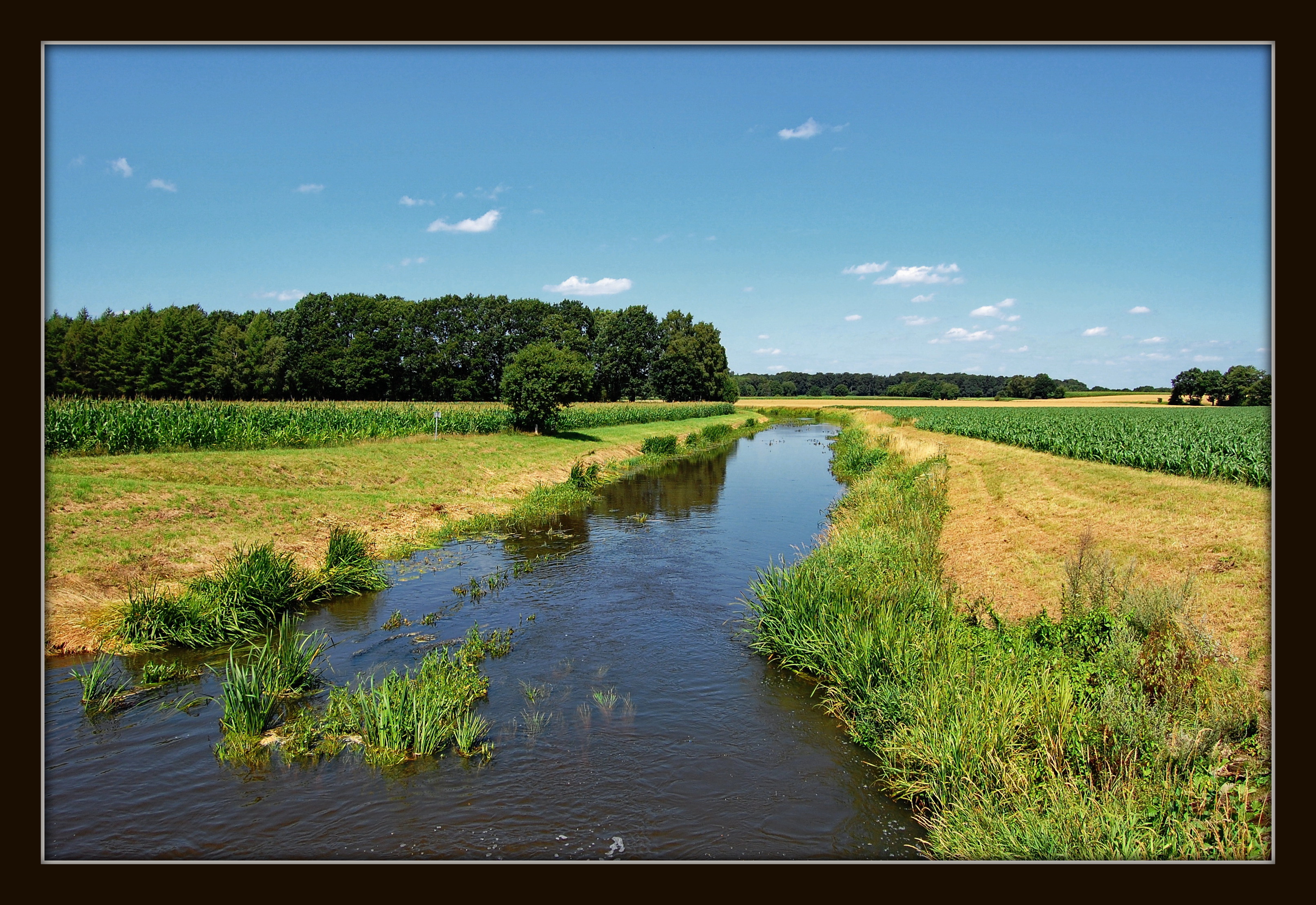
Deutschland / Niedersachsen / Flußlandschaft an der Hunte bei Dreeke

Impressionen: Abend im Gras

Rural Beauty III
Green Hideaway
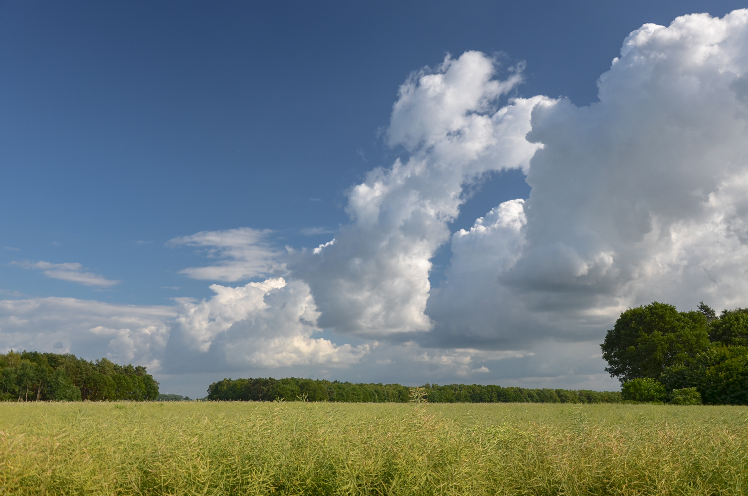
just fields, trees and clouds

Gerstenfeld, Niedersachsen

Rural Beauty X
Deutschland / Niedersachsen / Flußlandschaft an der Hunte bei Aldorf

River Hunte reflexions

Trails.
I see trees of ... red.

Sunset on the Autobahn
Rural Beauty IV
Brautwagen II

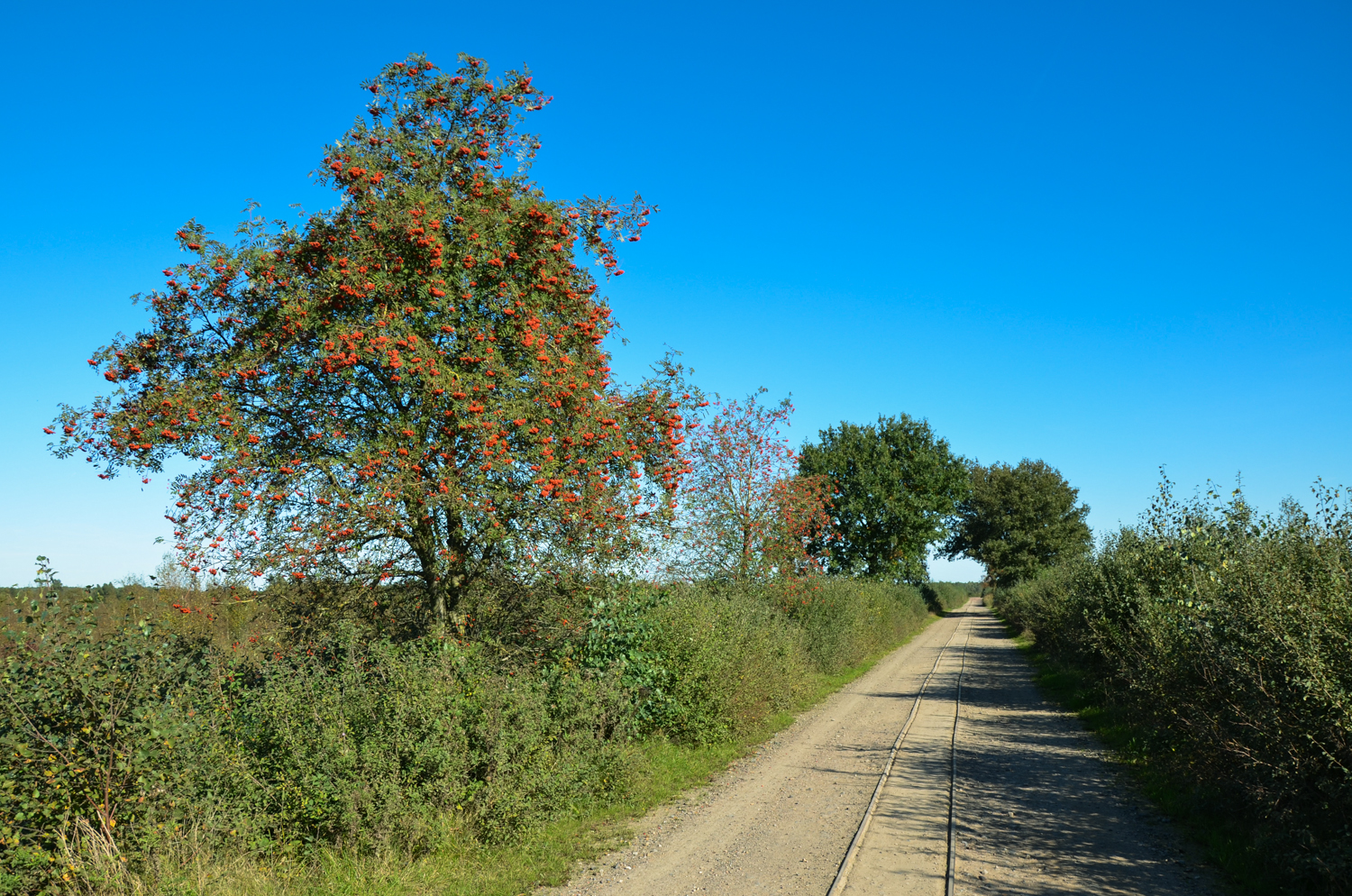
A last glimpse of autumn.

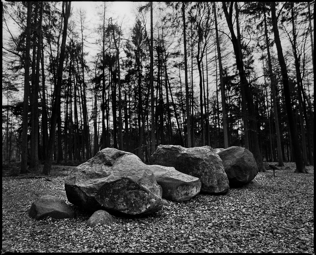
Straße der Megalithkultur: Großsteingrab Glaner Braut in Dötlingen

Agricultural architecture

Cornfield (HDR)
Topographic Map of Goldenstedt, Germany
Find elevation by address:

Places in Goldenstedt, Germany:
Places near Goldenstedt, Germany:
Amberger Str. 4, Goldenstedt, Germany
Ambergen
Badenpoolstraße 2, Goldenstedt, Germany
Große Str. 16, Goldenstedt, Germany
Lutten
Am Umspannwerk 7
Wildeshausen
Deckau 10, Drebber, Germany
Deckau
Drebber
Dötlingen
Vechta
Königstraße 9, Diepholz, Germany
Heede
Oldenburg
Neerstedt
Geveshauser Weg 4, Dötlingen, Germany
Diepholz
Schneiderkrug
Wild- Und Freizeitpark Ostrittrum
Recent Searches:
- Elevation of Corso Fratelli Cairoli, 35, Macerata MC, Italy
- Elevation of Tallevast Rd, Sarasota, FL, USA
- Elevation of 4th St E, Sonoma, CA, USA
- Elevation of Black Hollow Rd, Pennsdale, PA, USA
- Elevation of Oakland Ave, Williamsport, PA, USA
- Elevation of Pedrógão Grande, Portugal
- Elevation of Klee Dr, Martinsburg, WV, USA
- Elevation of Via Roma, Pieranica CR, Italy
- Elevation of Tavkvetili Mountain, Georgia
- Elevation of Hartfords Bluff Cir, Mt Pleasant, SC, USA