Elevation of Gastonia Hwy, Lincolnton, NC, USA

Location: United States > North Carolina > Lincoln County > Lincolnton > Lincolnton >

Longitude: -81.237508

Latitude: 35.4452515

Elevation: 286m / 938feet

Barometric Pressure: 98KPa

Elevation Map:

elevation map of Gastonia Hwy, Lincolnton, NC, USA
Satellite Map:

Satellite map of Gastonia Hwy, Lincolnton, NC, USA

Related Photos:

trees fog sunrise nc northcarolina sunbeams lincolncounty godslight davidhopkinsphotography ncpedia
God's Light
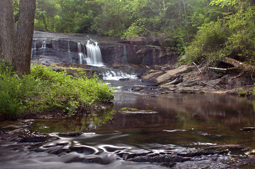
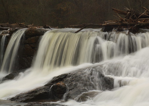
longexposure white water waterfall nc rocks northcarolina naturephotography gastoncounty davidhopkinsphotography
Davis Falls 3
flower green water nc drops bokeh northcarolina wildflower lincolncounty davidhopkinsphotography ncpedia
Orange Beauty
tree fog nc rocks dam northcarolina lincolncounty southforkriver rhynemill davidhopkinsphotography rhynemilldam ncpedia
Rhyne Mill Dam
sky brick history nc northcarolina hdr oldbuilding lincolnton lincolncounty davidhopkinsphotography linbergerbrotherscotton ncpedia
Lineberger Brothers Cotton from the Backside
church fence nc iron bokeh northcarolina depthoffield warmlight churck hff davidhopkinsphotography happyfencefriday saintlukesepiscopalchurch
Iron Fence (HFF)
nc bokeh northcarolina trail daisy wildflower outpost lincolncounty southforkrailtrail davidhopkinsphotography ncpedia
Wildflower Bokeh
mugs dallas nc northcarolina hdr gastoncounty lockmanpottery davidhopkinsphotography
Just out of the Kiln
green water waterfall nc moss rocks dam northcarolina lincolncounty southmillsriver rockdam davidhopkinsphotography ncpedia
Man vs Nature
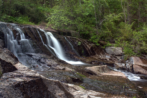
longexposure water rural waterfall nc rocks northcarolina waterfalls privateproperty naturephotography gastoncounty davidhopkinsphotography
Davis Falls
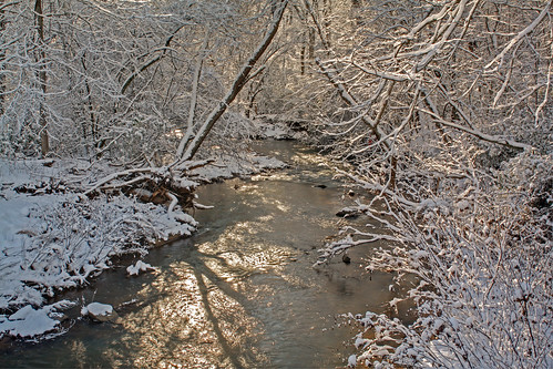
trees sunlight snow creek nc shadows northcarolina hdr naturephotography howardscreek lincolncounty davidhopkinsphotography ncpedia
Howard's Creek
waterfall nc rocks northcarolina cascade lincolncounty southforkriver southforkrailtrail davidhopkinsphotography rhynemilldam
South Fork Cascade
nc rocks dam northcarolina cascade hdr lincolncounty southforkriver southforkrailtrail davidhopkinsphotography rhynemilldam
Rhyne Mill Dam
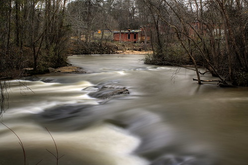
longexposure trees brick water nc rocks chocolate northcarolina rapids mocha hdr naturephotography photomatix lincolncounty southforkriver southforkrailtrail rhynemill davidhopkinsphotography ncpedia
Rhyne Mill on the South Fork River
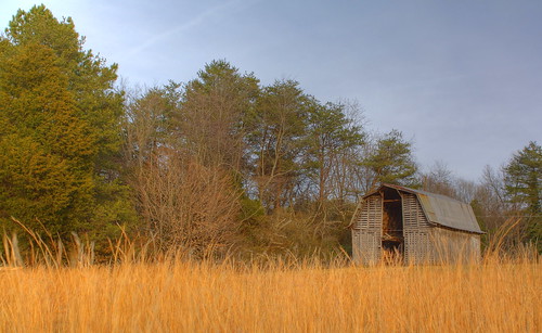
trees barn rural tin nc farm country rustic northcarolina hdr photomatix lincolncounty broomstraw davidhopkinsphotography ncpedia
Barn and Broomstraw
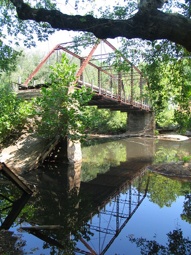
bridges favorites northcarolina rivers 2007 gastoncounty southforkriver carolinalost
Old Hardin Road Bridge over South Fork River
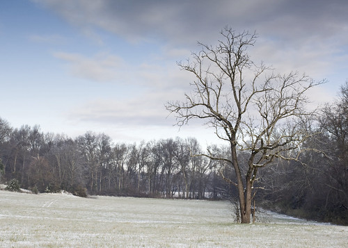
snow tree field clouds rural nc northcarolina aky lincolncounty davidhopkinsphotography ncpedia
Tree in Field with Snow
old brick church nc northcarolina hdr lincolnton lincolncounty davidhopkinsphotography saintlukesepiscopalchurch ncpedia
Saint Luke's Episcopal Church
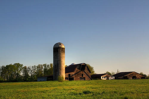
field barn nc farm earlymorning northcarolina silo hdr lincolncounty davidhopkinsphotography ncpedia
Forgotten...
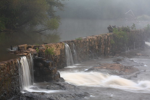
mist rock fog waterfall nc dam northcarolina lincolncounty southforkriver rhynemill davidhopkinsphotography ncpedia
Misty Base
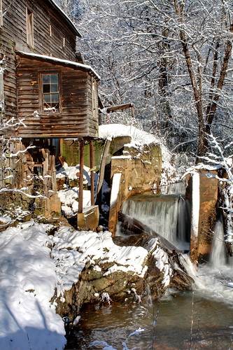
old trees snow water nc dam rustic northcarolina fusion hdr spillway lincolncounty howardscreekmill davidhopkinsphotography ncpedia
Snow and Water :-)
autumn sky clouds sunrise golf golfcourse hdr lincolntonnc eppinette
The Perfect Tee Time
P1040656 (2)
snow2018 snow drone gluvinsc northcarolina cherryvillenc
Cherryville, NC
field portfolio
Across the Field
field rural wow geotagged nc corn bokeh farm geotag lincolncounty geo:lat=3554382 geo:lon=8124602 ncpedia
Field of Dreams?
autumn trees fall leaves creek forest river landscape outdoors nikon stream warm raw outdoor north sigma northcarolina calm carolina 28 70200 edit 2012 d800 200mm rawedit dcimageforge dannycollado
Indian Summer
trees winter color silhouette sunrise landscape nc colorful sony 200 alpha jja lincolnphotographyclub dpsdawn
Tryon Sunrise
macro kids lens long sigma ears goats pasture floppy bums herd f28 105mm eppinette
If the kid's ears were any longer, she'd take flight...
macro kids lens long daughter mother horns sigma ears goats pasture floppy buds f28 munching 105mm eppinette
Like mother like daughter...
wood longexposure trees tree water river waterfall nc rocks whitewater hiking dam logs trail driftwood fabulous silky lincolncounty southforkriver southforkrailtrail davidhopkinsphotography ncpedia
South Fork "Falls" 2
field nc bokeh farm sunflowers lincolncounty doff ncpedia
Field of Sunflowers-Unfocused
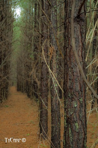
tree lines pine nikon rows needles d5000
Day 2 - Get in line
blue red macro lens cow kid long peace eating sigma peaceful goat ears pasture floppy f28 105mm peacefully gettingalong eppinette
Floppy-eared Friends Flock Together
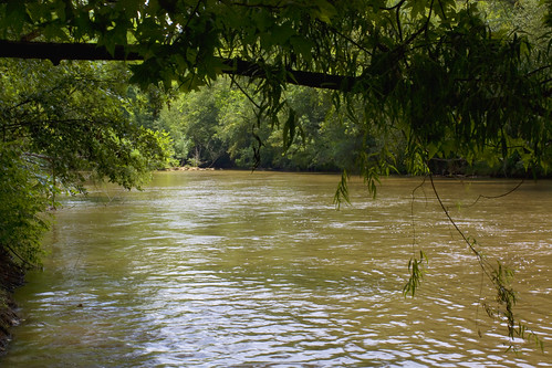
trees water river nc northcarolina lincolncounty brownwater catawbariver southforkriver davidhopkinsphotography ncpedia
South Fork River