Elevation of Gangamadugu, Tamil Nadu, India
| Latitude | 12.746276 |
|---|---|
| Longitude | 78.1621596 |
| Elevation | 588m / 1929feet |
| Barometric Pressure | 945KPa |
Related Photos:

Sri Veeranjanaya Swamy Brahmotsavam

Seshadri Exp.

Behind the scenes

Behind the scene

Royal Enfield

Behind the scene

Ant of steel

Steel Models

Steel Models

Stupendous ANT

Vending Boy
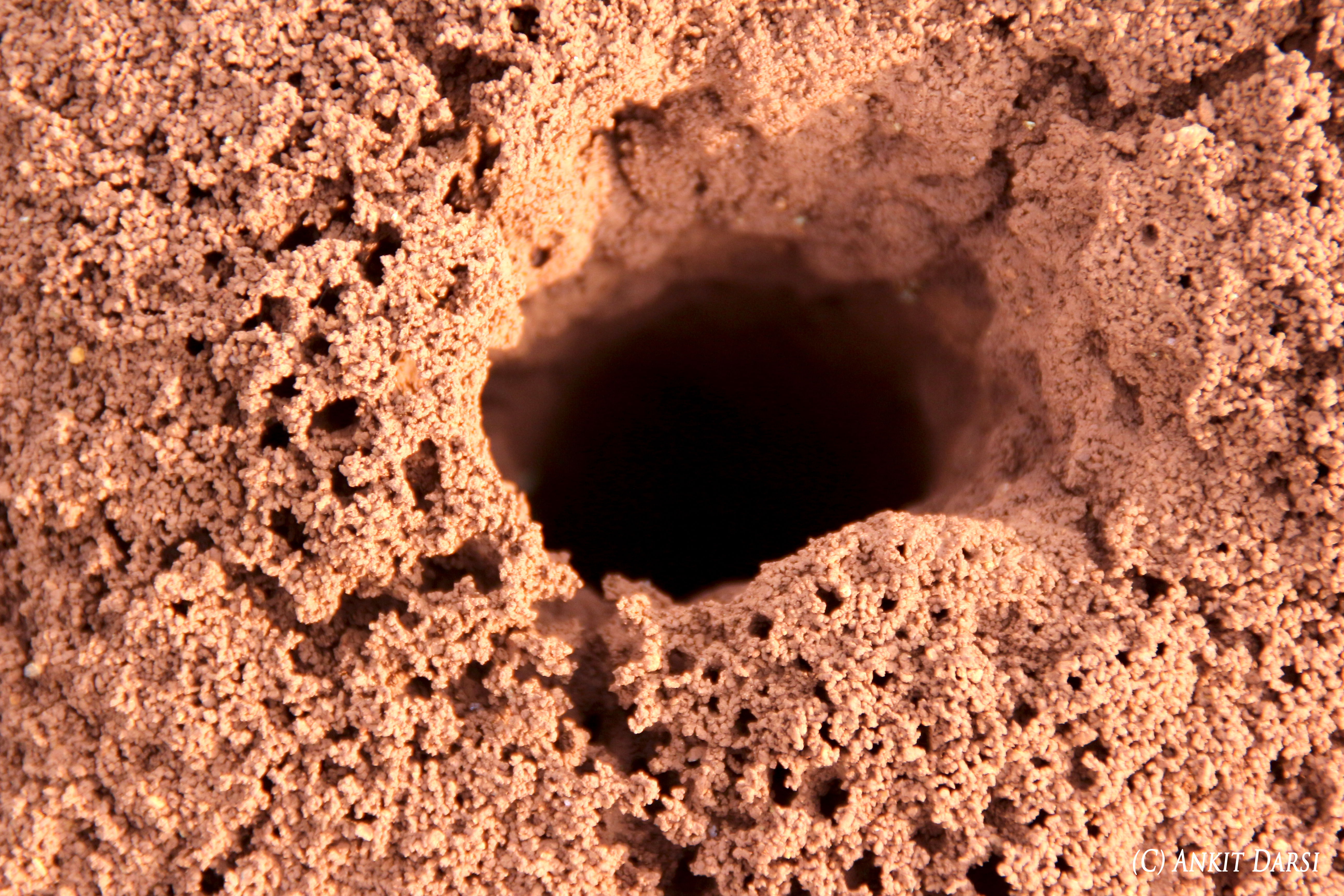
Ant-nest

Mechanical tools

World books series

Excavator working model

Meal!

@ Express Avenue
Topographic Map of Gangamadugu, Tamil Nadu, India
Find elevation by address:
Places in Gangamadugu, Tamil Nadu, India:
Places near Gangamadugu, Tamil Nadu, India:
Blooms Eco Farm
Peryathammandrapalli
Alphonso By The Lake Farm
Alphonso By The Lake Farm
Blooms Eco Village
Blooms Eco Village
Doddagounipalli
Kothigutlahalli
Shoolagiri
Kuppam
Thambigani Palli
Kamandoddi
Bangarapet
Bagalur
Avalapalli Hudco
Grt
Hosur
Hosur Municipality
Sarjapur
Kolar
Recent Searches:
- Elevation map of Central Hungary, Hungary
- Elevation map of Pest, Central Hungary, Hungary
- Elevation of Pilisszentkereszt, Pest, Central Hungary, Hungary
- Elevation of Dharamkot Tahsil, Punjab, India
- Elevation of Bhinder Khurd, Dharamkot Tahsil, Punjab, India
- Elevation of 2881, Chabot Drive, San Bruno, San Mateo County, California, 94066, USA
- Elevation of 10370, West 107th Circle, Westminster, Jefferson County, Colorado, 80021, USA
- Elevation of 611, Roman Road, Old Ford, Bow, London, England, E3 2RW, United Kingdom
- Elevation of 116, Beartown Road, Underhill, Chittenden County, Vermont, 05489, USA
- Elevation of Window Rock, Colfax County, New Mexico, 87714, USA
- Elevation of 4807, Rosecroft Street, Kempsville Gardens, Virginia Beach, Virginia, 23464, USA
- Elevation map of Matawinie, Quebec, Canada
- Elevation of Sainte-Émélie-de-l'Énergie, Matawinie, Quebec, Canada
- Elevation of Rue du Pont, Sainte-Émélie-de-l'Énergie, Matawinie, Quebec, J0K2K0, Canada
- Elevation of 8, Rue de Bécancour, Blainville, Thérèse-De Blainville, Quebec, J7B1N2, Canada
- Elevation of Wilmot Court North, 163, University Avenue West, Northdale, Waterloo, Region of Waterloo, Ontario, N2L6B6, Canada
- Elevation map of Panamá Province, Panama
- Elevation of Balboa, Panamá Province, Panama
- Elevation of San Miguel, Balboa, Panamá Province, Panama
- Elevation of Isla Gibraleón, San Miguel, Balboa, Panamá Province, Panama