Elevation of Gajarkot, Nepal
Location: Nepal > Western Region > Gandaki >
Longitude: 83.9797173
Latitude: 27.8815685
Elevation: 452m / 1483feet
Barometric Pressure: 96KPa
Elevation Map:
Satellite Map:
Related Photos:

Returning from Everest Base Camp

View back - edited

0788 The Mighty Himalayas
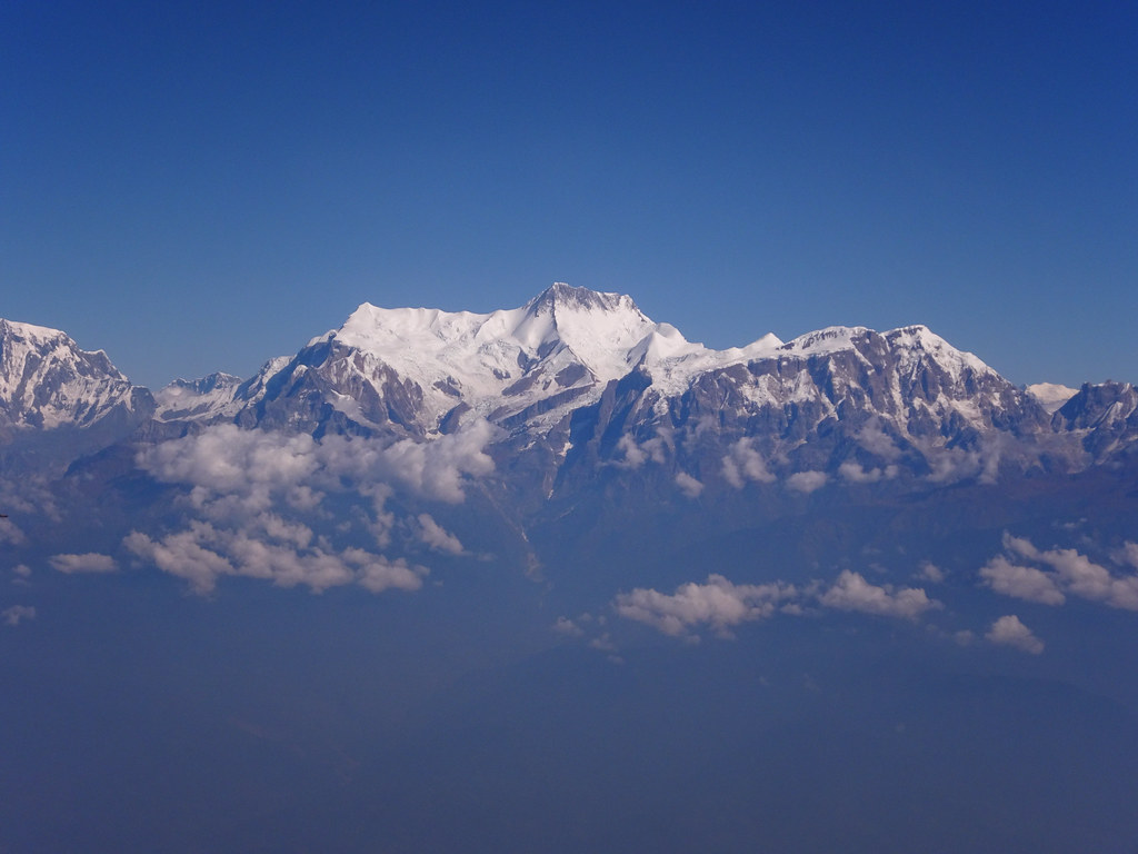
W_Nepal_2017 Annapurna Himal

Nepal is full of beautiful places

Step drop

Just beautifully

Dal Bhat

Community and Base Camp

N047 - Welcoming Ceremony
Topographic Map of Gajarkot, Nepal
Find elevation by address:

Places in Gajarkot, Nepal:
Places near Gajarkot, Nepal:
Syauli Bazar
Puttar
Tintale
Wakamalang
Dedgaun
Bhimad
Bhimad Bazaar
Chapakot Municipality Office
Chapakot
Syangja
Nawalparasi
Benimanipur
Sardi Bagaicha
Sardi Bagaicha
Kawasoti
Nawalparasi Lumbini Travel
Kawasoti Thana Chok
Chhahare
Deurali
Arjun Chaupari
Recent Searches:
- Elevation of Corso Fratelli Cairoli, 35, Macerata MC, Italy
- Elevation of Tallevast Rd, Sarasota, FL, USA
- Elevation of 4th St E, Sonoma, CA, USA
- Elevation of Black Hollow Rd, Pennsdale, PA, USA
- Elevation of Oakland Ave, Williamsport, PA, USA
- Elevation of Pedrógão Grande, Portugal
- Elevation of Klee Dr, Martinsburg, WV, USA
- Elevation of Via Roma, Pieranica CR, Italy
- Elevation of Tavkvetili Mountain, Georgia
- Elevation of Hartfords Bluff Cir, Mt Pleasant, SC, USA