Elevation of Arjun Chaupari, Nepal
Location: Nepal > Western Region > Gandaki >
Longitude: 83.7570955
Latitude: 28.0816555
Elevation: 993m / 3258feet
Barometric Pressure: 90KPa
Elevation Map:
Satellite Map:
Related Photos:
View from Syangja

Goodbye Nepal

W_Nepal_2020 Annapurna Himal & Dhaulagiri Himal

W_Nepal_2021 Annapurna Himal & Dhaulagiri Himal

Jhalunge Bajar

Aerial view of the Himalayas

Morning view from Rangbhang, #syangja

View from Ed'd landing site

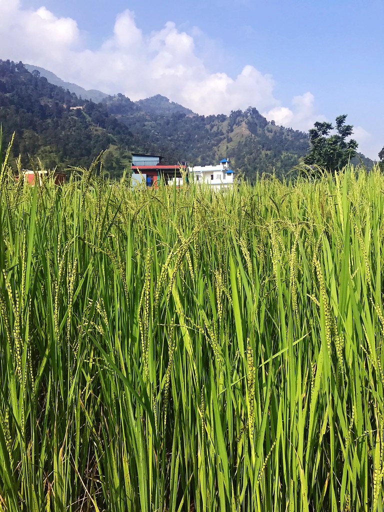
Valley of rice

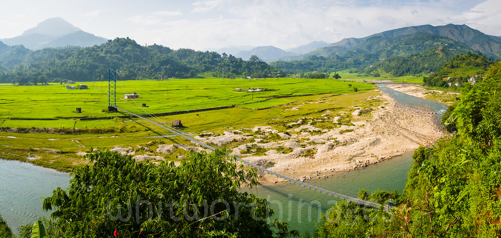
River Junction

20181001.0680.NEPAL.Diha

20181001.0801.NEPAL.Majhbeni

Trekking from Pokhara to Panchase

20181001.0671.NEPAL.Chanaute

Nepal-1738

20181001.0797.NEPAL.Majhbeni
20181001.0597b.NEPAL.Seti Dobhan

198910.089.nepal.weg.Bhudumpola

20181001.0706.NEPAL.Nunthala.Chuderagaun

20181001.0575.NEPAL.Bhalu Pahar

198910.088.nepal.setidhoban

Trekking from Pokhara to Panchase

20181001.0667.NEPAL.Jugle

20181001.0692a.NEPAL.Haramta

20181001.0657.NEPAL.Betehani

20181001.0803.NEPAL.Majhbeni
Topographic Map of Arjun Chaupari, Nepal
Find elevation by address:

Places in Arjun Chaupari, Nepal:
Places near Arjun Chaupari, Nepal:
Chhahare
Syangja
Tribeni
Chapakot
Chapakot Municipality Office
Tintale
Barangdi
Gajarkot
Tansen
Bhimad
Syauli Bazar
Puttar
Bhimad Bazaar
Wakamalang
Dedgaun
Deurali
Jubhung
Sardi Bagaicha
Sardi Bagaicha
Benimanipur
Recent Searches:
- Elevation of Corso Fratelli Cairoli, 35, Macerata MC, Italy
- Elevation of Tallevast Rd, Sarasota, FL, USA
- Elevation of 4th St E, Sonoma, CA, USA
- Elevation of Black Hollow Rd, Pennsdale, PA, USA
- Elevation of Oakland Ave, Williamsport, PA, USA
- Elevation of Pedrógão Grande, Portugal
- Elevation of Klee Dr, Martinsburg, WV, USA
- Elevation of Via Roma, Pieranica CR, Italy
- Elevation of Tavkvetili Mountain, Georgia
- Elevation of Hartfords Bluff Cir, Mt Pleasant, SC, USA