Elevation of Sardi Bagaicha, Triveni- vinayi rural municipality, सर्दी(बगैचा), Nepal
Location: Nepal > Western Region > Lumbini > Nawalparasi > Sardi Bagaicha >
Longitude: 83.838584
Latitude: 27.6637769
Elevation: 183m / 600feet
Barometric Pressure: 99KPa
Elevation Map:
Satellite Map:
Related Photos:

TRUCK VIEW

TRUCK VIEW

TRUCK VIEW

TRUCK VIEW

TRUCK VIEW

TRUCK VIEW

TRUCK VIEW

TRUCK VIEW
TRUCK VIEW

TRUCK VIEW

TRUCK VIEW

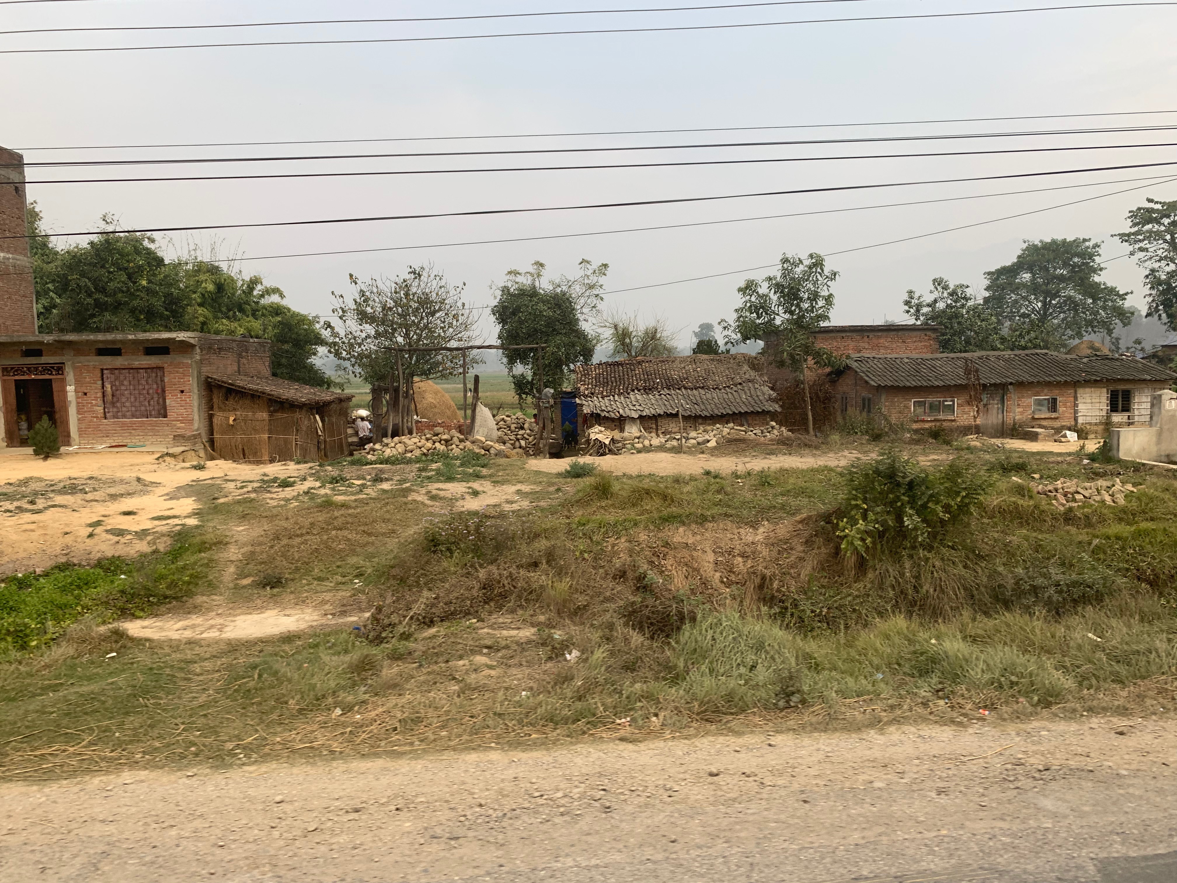
Southern Nepal

Southern Nepal

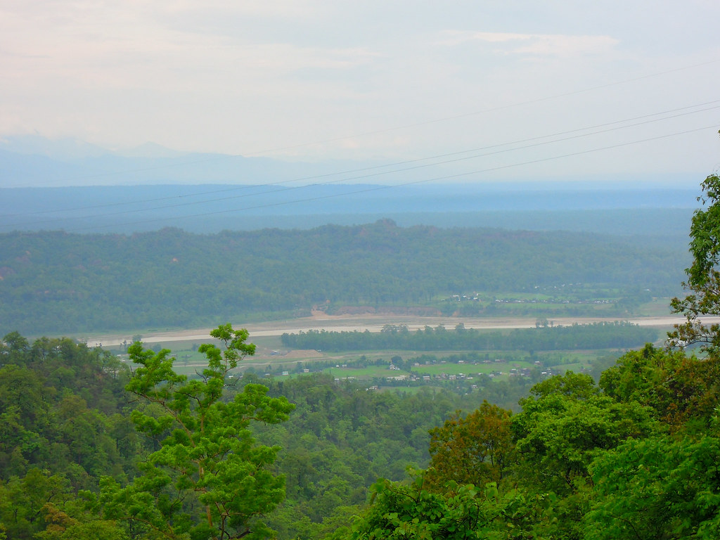
Naya Belahani -3, Jwaithar
DSCN7597.jpg
Topographic Map of Sardi Bagaicha, Triveni- vinayi rural municipality, सर्दी(बगैचा), Nepal
Find elevation by address:

Places near Sardi Bagaicha, Triveni- vinayi rural municipality, सर्दी(बगैचा), Nepal:
Sardi Bagaicha
Benimanipur
Nawalparasi
Ramgram
Chapakot Municipality Office
Chapakot
Wakamalang
Tintale
Syauli Bazar
Gajarkot
Puttar
Nawalparasi Lumbini Travel
Kawasoti Thana Chok
Kawasoti
Dedgaun
Lumbini
Tansen
Syangja
Barangdi
Golpark
Recent Searches:
- Elevation of Corso Fratelli Cairoli, 35, Macerata MC, Italy
- Elevation of Tallevast Rd, Sarasota, FL, USA
- Elevation of 4th St E, Sonoma, CA, USA
- Elevation of Black Hollow Rd, Pennsdale, PA, USA
- Elevation of Oakland Ave, Williamsport, PA, USA
- Elevation of Pedrógão Grande, Portugal
- Elevation of Klee Dr, Martinsburg, WV, USA
- Elevation of Via Roma, Pieranica CR, Italy
- Elevation of Tavkvetili Mountain, Georgia
- Elevation of Hartfords Bluff Cir, Mt Pleasant, SC, USA