Elevation of GA-, Danielsville, GA, USA
Location: United States > Georgia > Madison County > Danielsville >
Longitude: -83.273877
Latitude: 34.2397391
Elevation: 205m / 673feet
Barometric Pressure: 99KPa
Elevation Map:
Satellite Map:
Related Photos:
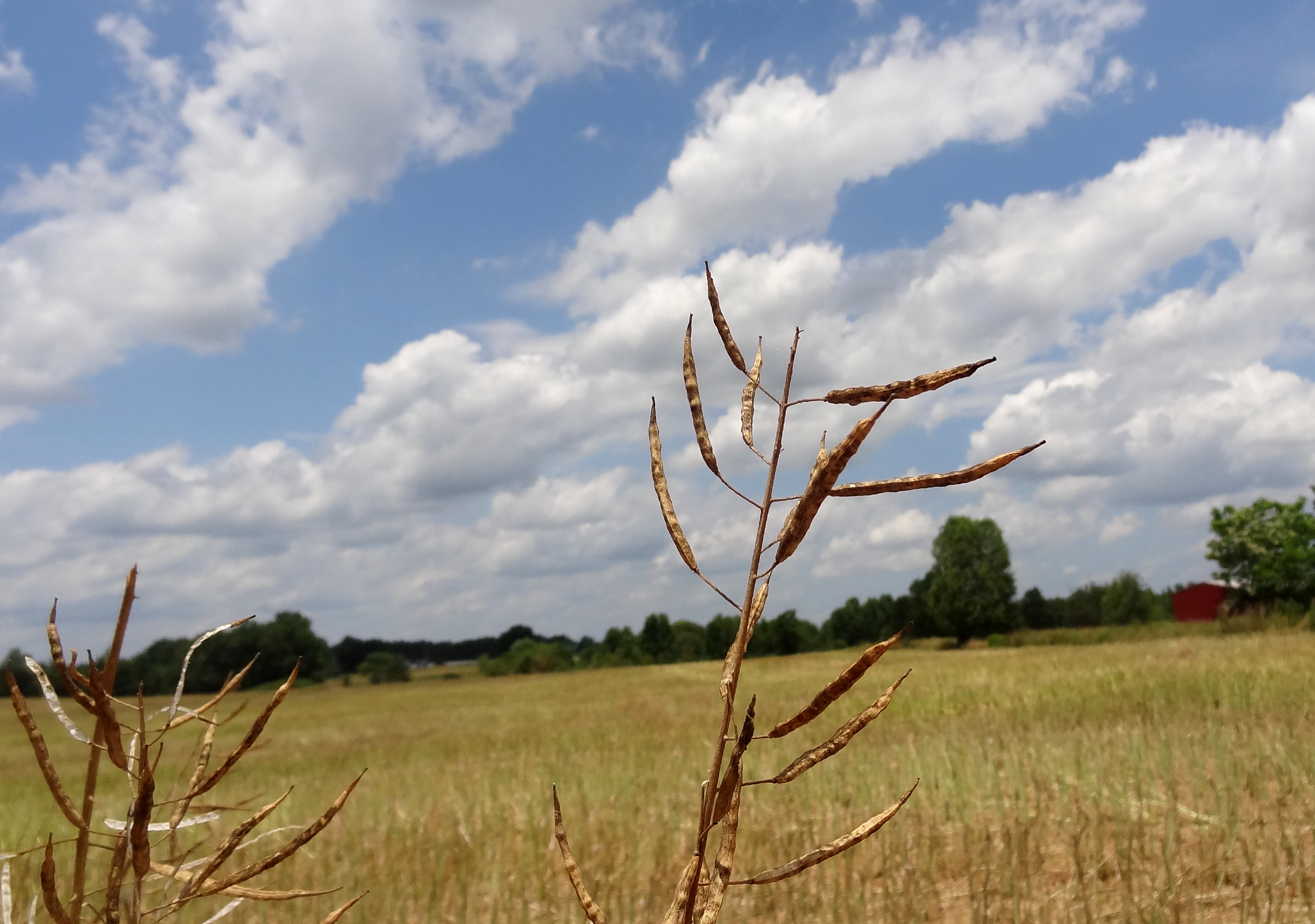
rapeseed plants against field

The view from downtown Carnesville. After lunch with Roger, Gerry, John and Karen.
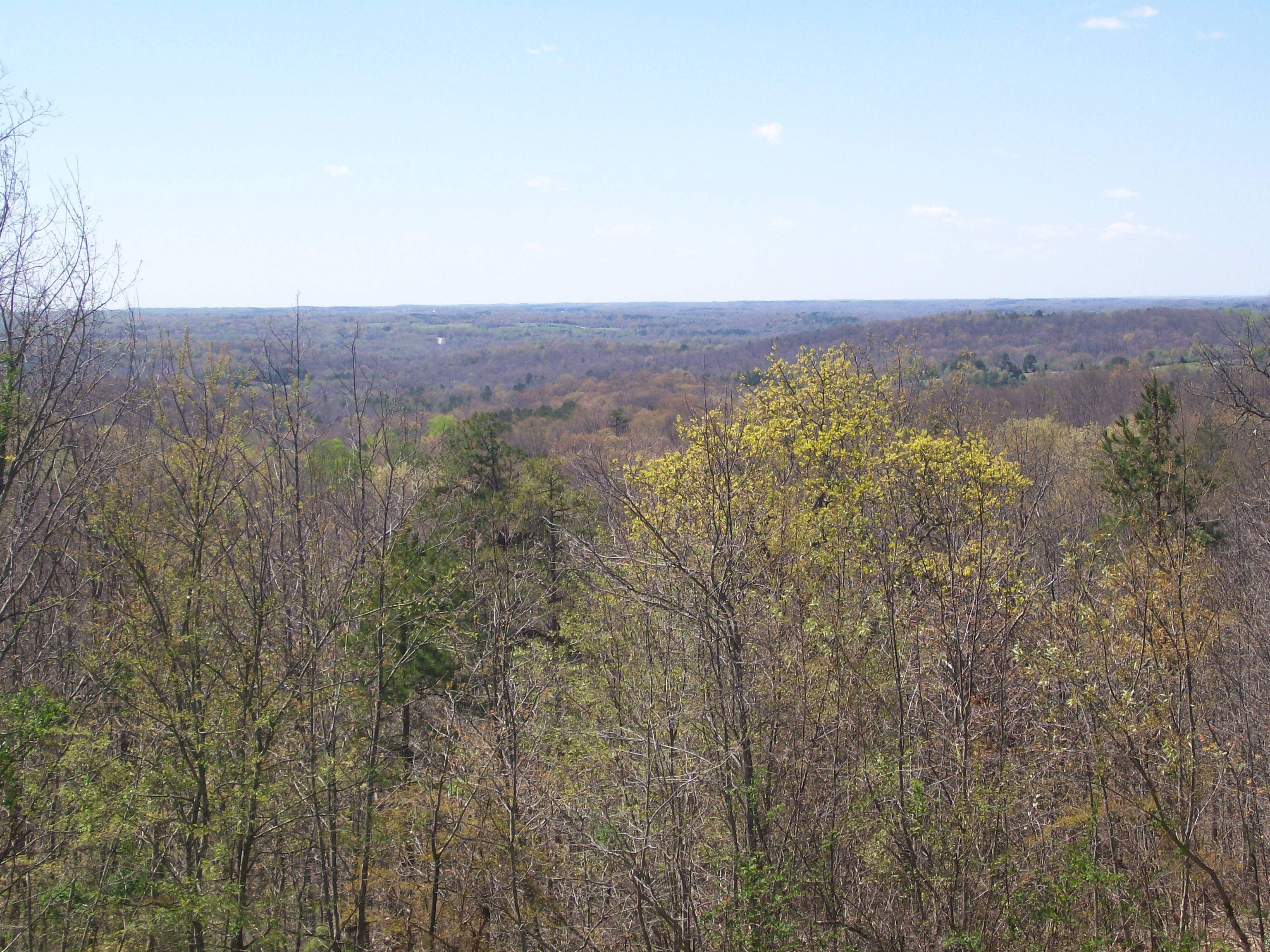
Overlooking N.E. Ga.

Victoria Bryant State Park GA Sep 16 2014 22

Victoria Bryant State Park GA Sep 16 2014 18

Victoria Bryant State Park GA Sep 17 2014 1

Victoria Bryant State Park GA Sep 16 2014 6

Victoria Bryant State Park GA Sep 16 2014 21

Victoria Bryant State Park GA Sep 16 2014 3

Victoria Bryant State Park GA Sep 16 2014 10
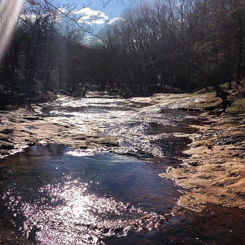
Sunny day on the shoals.

Victoria Bryant State Park GA Sep 16 2014 19

Victoria Bryant State Park GA Sep 16 2014 23
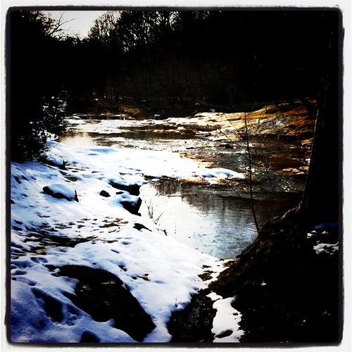
Snowy shoals

Victoria Bryant State Park GA Sep 16 2014 11

IMG_3942 - A Photo a Day in 2010 - # 156
Topographic Map of GA-, Danielsville, GA, USA
Find elevation by address:

Places near GA-, Danielsville, GA, USA:
3910 Careytown Rd
3396 Careytown Rd
4346 Hudson River Church Rd C
1472 Careytown Rd
1472 Careytown Rd
11 Main St, Danielsville, GA, USA
Van Manley Road
Macedonia Church Rd, Danielsville, GA, USA
General Daniels Ave N, Danielsville, GA, USA
416 Hickory Hills Rd
Wildcat Bridge Rd, Danielsville, GA, USA
Danielsville
2325 Cheek Pulliam Rd
2394 Fowler-freeman Rd
Transco Rd, Comer, GA, USA
GA-98, Comer, GA, USA
857 Coile Rd
1862 Reed Brawner Rd
8217 Ga-172
Corinth Church Rd, Royston, GA, USA
Recent Searches:
- Elevation of Corso Fratelli Cairoli, 35, Macerata MC, Italy
- Elevation of Tallevast Rd, Sarasota, FL, USA
- Elevation of 4th St E, Sonoma, CA, USA
- Elevation of Black Hollow Rd, Pennsdale, PA, USA
- Elevation of Oakland Ave, Williamsport, PA, USA
- Elevation of Pedrógão Grande, Portugal
- Elevation of Klee Dr, Martinsburg, WV, USA
- Elevation of Via Roma, Pieranica CR, Italy
- Elevation of Tavkvetili Mountain, Georgia
- Elevation of Hartfords Bluff Cir, Mt Pleasant, SC, USA