Elevation of 11 Main St, Danielsville, GA, USA
Location: United States > Georgia > Madison County > Danielsville >
Longitude: -83.292310
Latitude: 34.1726304
Elevation: 248m / 814feet
Barometric Pressure: 98KPa
Elevation Map:
Satellite Map:
Related Photos:

The Aermotor, Chicago
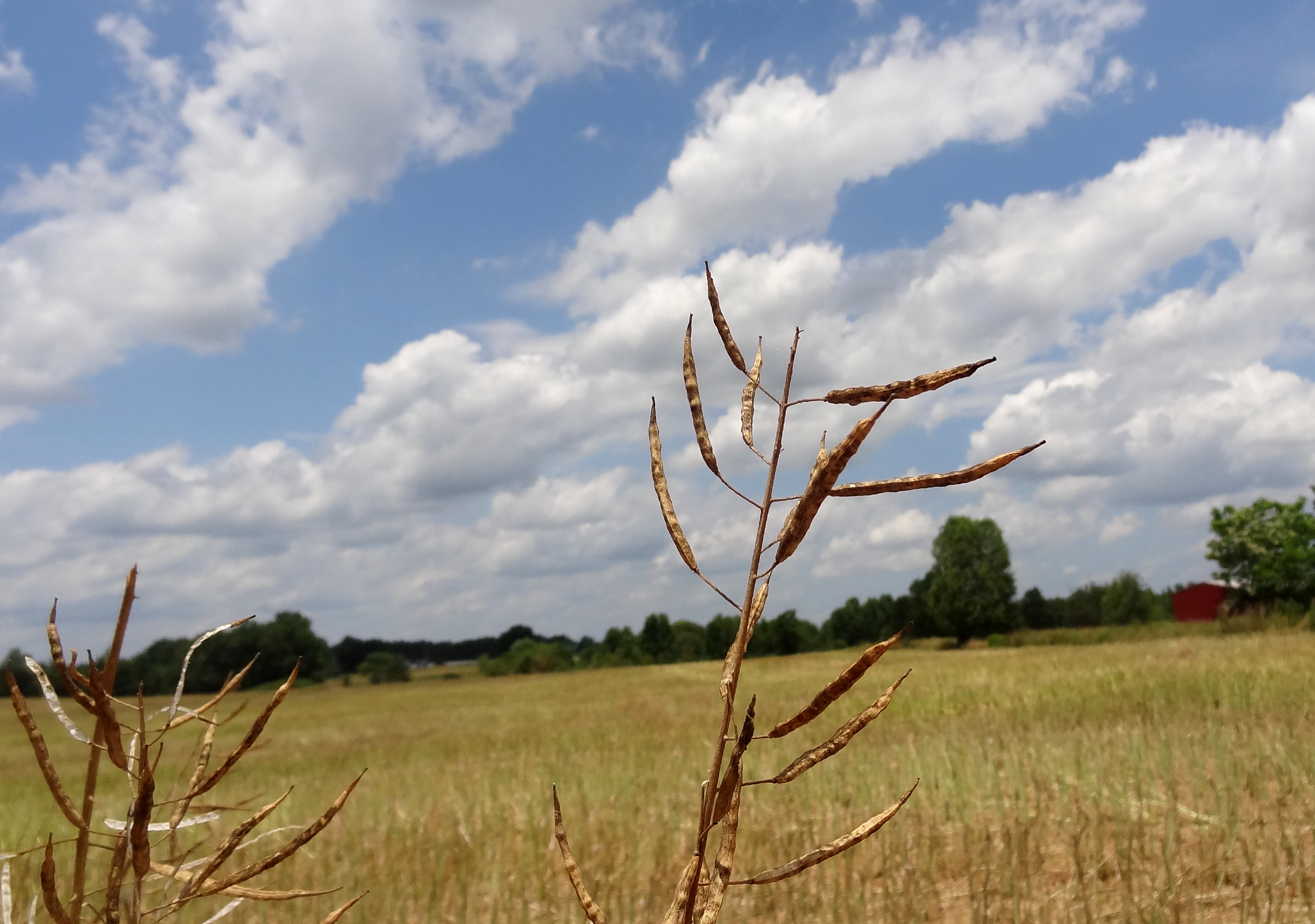
rapeseed plants against field
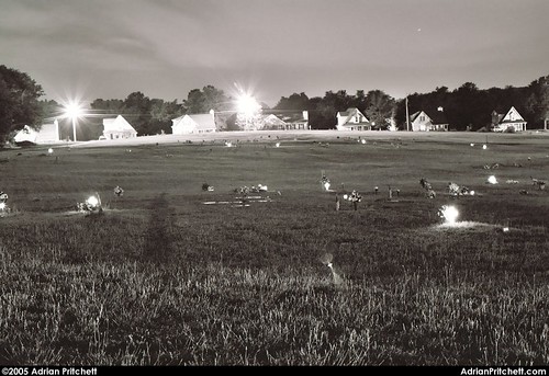
Grey Hill Cemetery
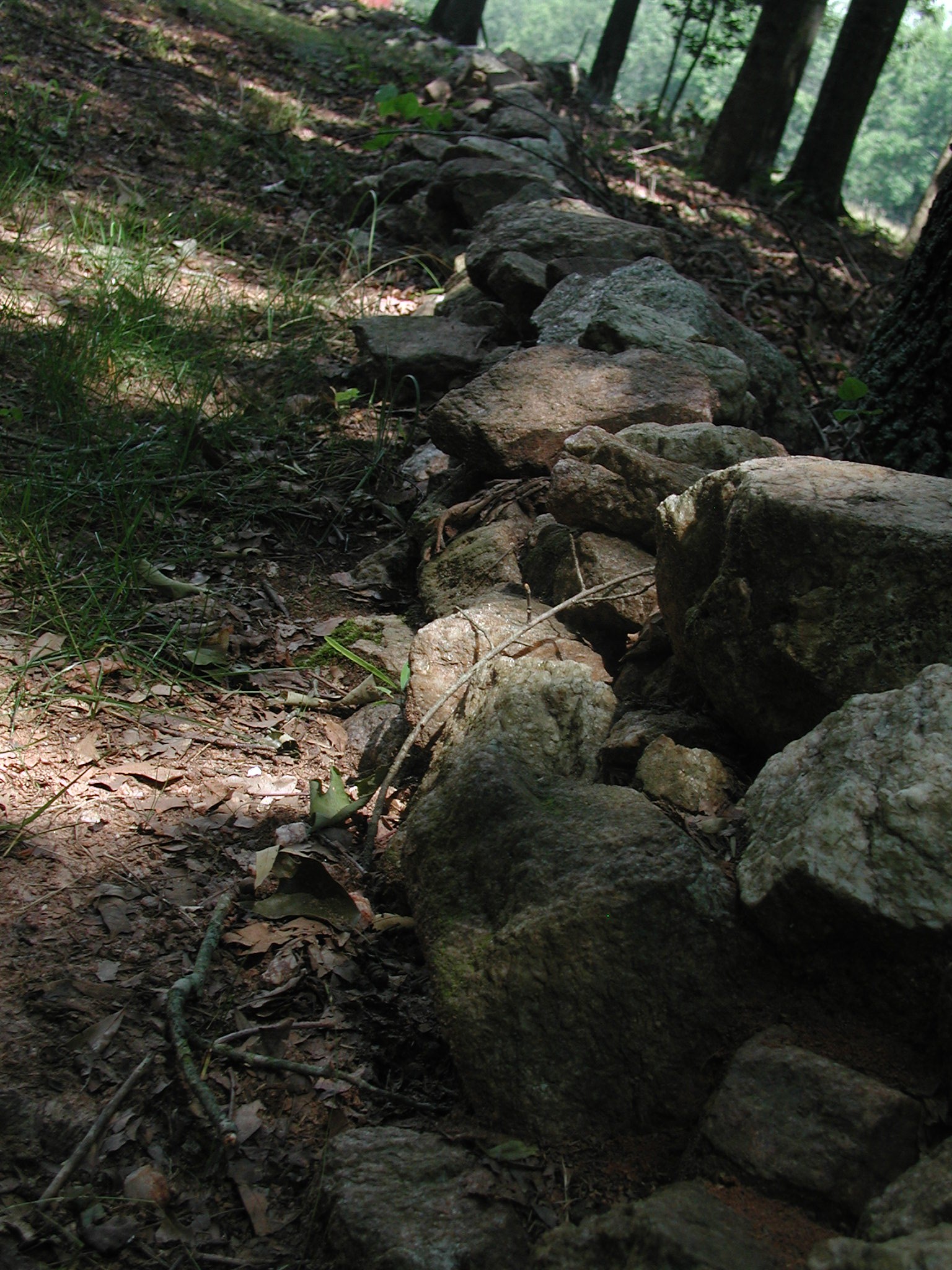
Rock Path

Fallen Trees

Fallen Tree

With mom in 2008

My happy place
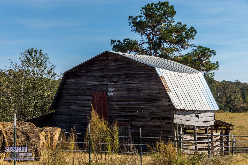
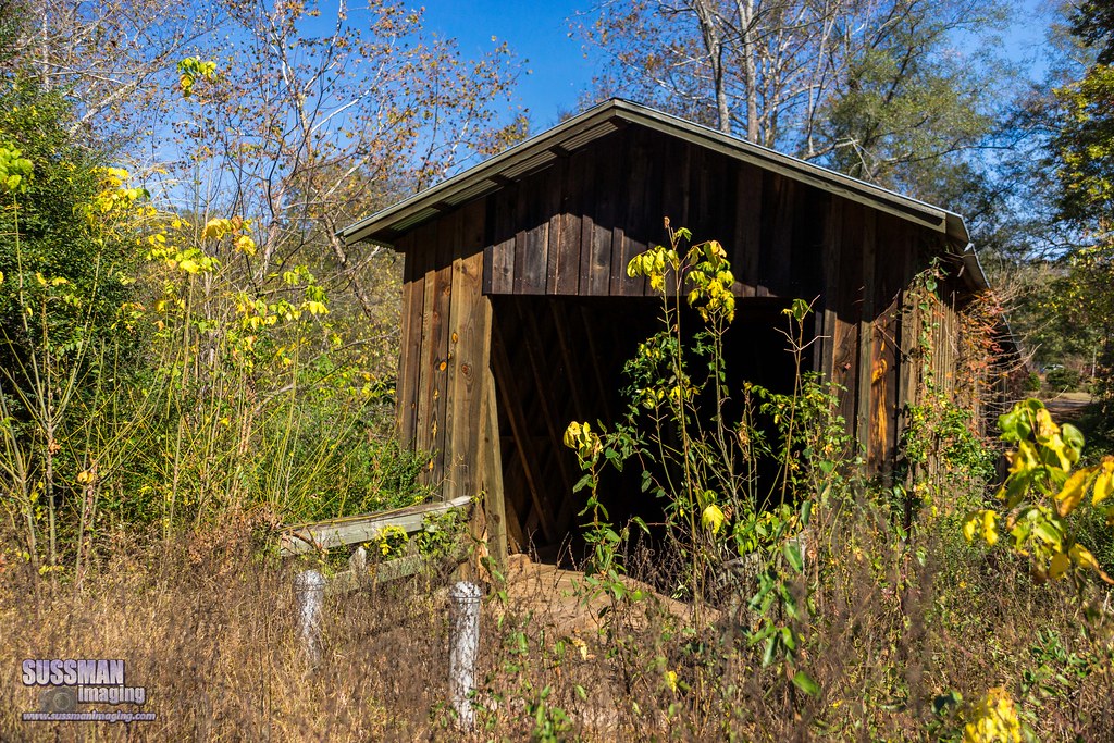
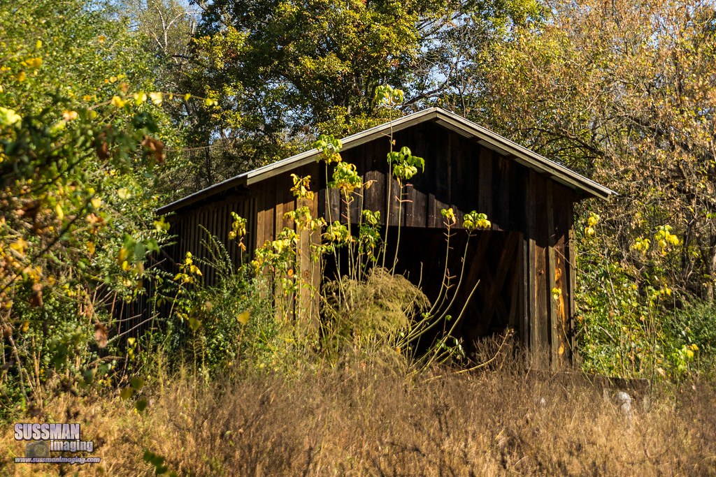
An Old Barn
Cromer's Mill Covered Bridge
Cromer's Mill Covered Bridge
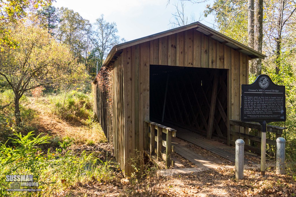
Cromer's Mill Covered Bridge

Madison County Courthouse Danielsville GA #courthouse

Golf with Alan's family at Double Oaks Golf Course in Commerce (I just drove the cart)
Topographic Map of 11 Main St, Danielsville, GA, USA
Find elevation by address:

Places near 11 Main St, Danielsville, GA, USA:
Macedonia Church Rd, Danielsville, GA, USA
4346 Hudson River Church Rd C
GA-, Danielsville, GA, USA
Danielsville
General Daniels Ave N, Danielsville, GA, USA
3910 Careytown Rd
Van Manley Road
3396 Careytown Rd
416 Hickory Hills Rd
1472 Careytown Rd
1472 Careytown Rd
Wildcat Bridge Rd, Danielsville, GA, USA
2394 Fowler-freeman Rd
GA-98, Comer, GA, USA
Transco Rd, Comer, GA, USA
2325 Cheek Pulliam Rd
857 Coile Rd
8217 Ga-172
GA-, Comer, GA, USA
1862 Reed Brawner Rd
Recent Searches:
- Elevation of Corso Fratelli Cairoli, 35, Macerata MC, Italy
- Elevation of Tallevast Rd, Sarasota, FL, USA
- Elevation of 4th St E, Sonoma, CA, USA
- Elevation of Black Hollow Rd, Pennsdale, PA, USA
- Elevation of Oakland Ave, Williamsport, PA, USA
- Elevation of Pedrógão Grande, Portugal
- Elevation of Klee Dr, Martinsburg, WV, USA
- Elevation of Via Roma, Pieranica CR, Italy
- Elevation of Tavkvetili Mountain, Georgia
- Elevation of Hartfords Bluff Cir, Mt Pleasant, SC, USA