Elevation of Careytown Rd, Royston, GA, USA
Location: United States > Georgia > Hart County > Royston >
Longitude: -83.235551
Latitude: 34.2710601
Elevation: 250m / 820feet
Barometric Pressure: 98KPa
Elevation Map:
Satellite Map:
Related Photos:

The view from downtown Carnesville. After lunch with Roger, Gerry, John and Karen.

Overlooking N.E. Ga.
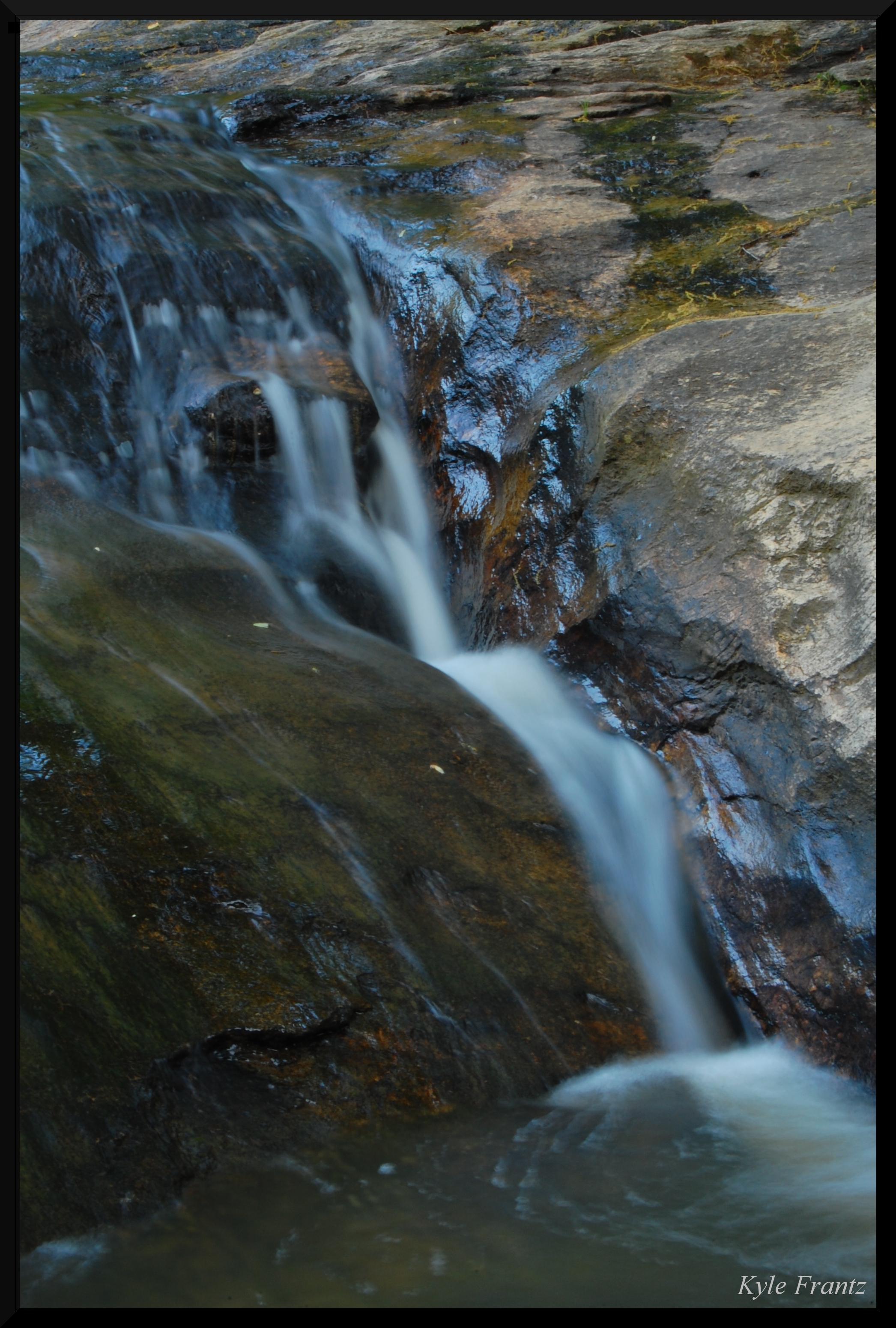
Small Fall

House & Moon
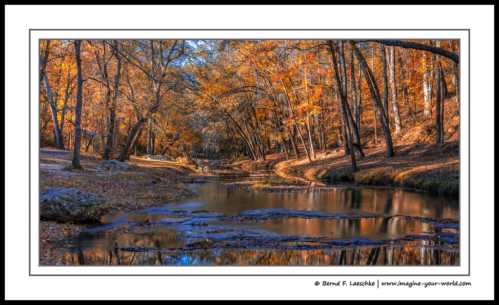
Fall colors on the Broad River

My happy place

Reggie getting in the water! @gastateparks
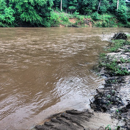
The Broad River (also known as "my backyard") is earning its name this week. And it's down six feet or so from earlier.

IMG_3942 - A Photo a Day in 2010 - # 156
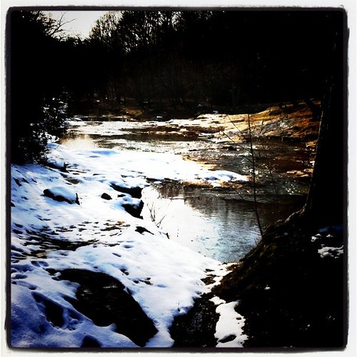
Snowy shoals
Topographic Map of Careytown Rd, Royston, GA, USA
Find elevation by address:

Places near Careytown Rd, Royston, GA, USA:
1472 Careytown Rd
3396 Careytown Rd
3910 Careytown Rd
GA-, Danielsville, GA, USA
Van Manley Road
4346 Hudson River Church Rd C
Macedonia Church Rd, Danielsville, GA, USA
General Daniels Ave N, Danielsville, GA, USA
2325 Cheek Pulliam Rd
11 Main St, Danielsville, GA, USA
416 Hickory Hills Rd
Wildcat Bridge Rd, Danielsville, GA, USA
Danielsville
2394 Fowler-freeman Rd
1862 Reed Brawner Rd
Transco Rd, Comer, GA, USA
Corinth Church Rd, Royston, GA, USA
59 Marlin Press Rd, Royston, GA, USA
857 Coile Rd
GA-98, Comer, GA, USA
Recent Searches:
- Elevation of Corso Fratelli Cairoli, 35, Macerata MC, Italy
- Elevation of Tallevast Rd, Sarasota, FL, USA
- Elevation of 4th St E, Sonoma, CA, USA
- Elevation of Black Hollow Rd, Pennsdale, PA, USA
- Elevation of Oakland Ave, Williamsport, PA, USA
- Elevation of Pedrógão Grande, Portugal
- Elevation of Klee Dr, Martinsburg, WV, USA
- Elevation of Via Roma, Pieranica CR, Italy
- Elevation of Tavkvetili Mountain, Georgia
- Elevation of Hartfords Bluff Cir, Mt Pleasant, SC, USA