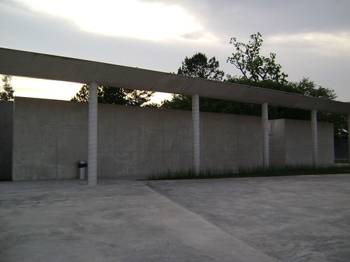
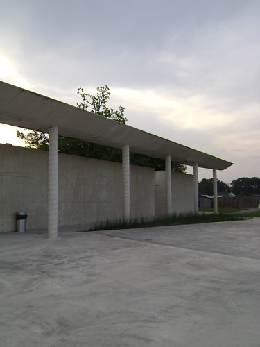
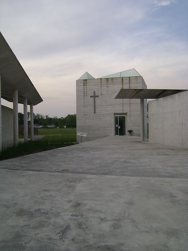
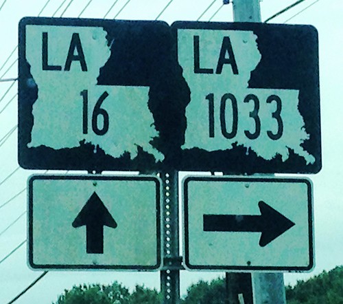
Elevation of French Settlement, LA, USA
Location: United States > Louisiana > Livingston Parish > >
Longitude: -90.795095
Latitude: 30.295195
Elevation: 4m / 13feet
Barometric Pressure: 101KPa
Related Photos:
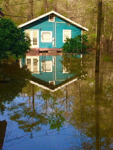
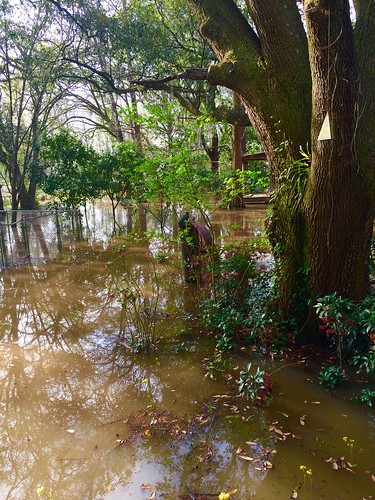
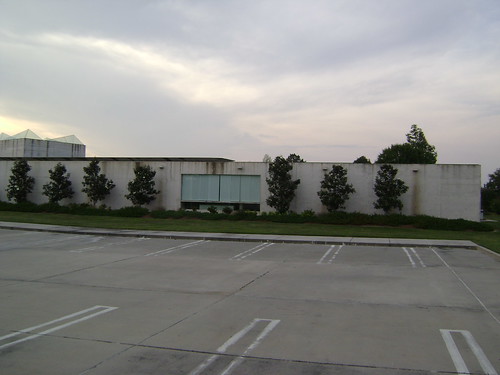
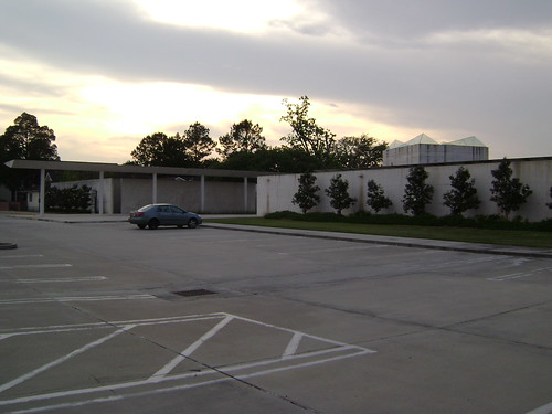
Topographic Map of French Settlement, LA, USA
Find elevation by address:

Places in French Settlement, LA, USA:
Places near French Settlement, LA, USA:
15810 La-16
15645 La-16
15645 La-16
South Brignac Drive
15710 La-16
15515 La-16
Amite River Road
14405 Rue Deschenes
15933 Cypress Point Ln
16460 Delia St
Dufour Road
17605 Cline Dr
9, LA, USA
49123 La-22
Vicknair Rd, Maurepas, LA, USA
17755 Cove Ln
45186 Butch Gore Rd
Butch Gore Road
45073 Spellman Wall Rd
45024 Roux Rd
Recent Searches:
- Elevation of Corso Fratelli Cairoli, 35, Macerata MC, Italy
- Elevation of Tallevast Rd, Sarasota, FL, USA
- Elevation of 4th St E, Sonoma, CA, USA
- Elevation of Black Hollow Rd, Pennsdale, PA, USA
- Elevation of Oakland Ave, Williamsport, PA, USA
- Elevation of Pedrógão Grande, Portugal
- Elevation of Klee Dr, Martinsburg, WV, USA
- Elevation of Via Roma, Pieranica CR, Italy
- Elevation of Tavkvetili Mountain, Georgia
- Elevation of Hartfords Bluff Cir, Mt Pleasant, SC, USA
