Elevation of Delia St, French Settlement, LA, USA
Location: United States > Louisiana > Livingston Parish > > French Settlement >
Longitude: -90.810371
Latitude: 30.3227242
Elevation: 3m / 10feet
Barometric Pressure: 101KPa
Elevation Map:
Satellite Map:
Related Photos:
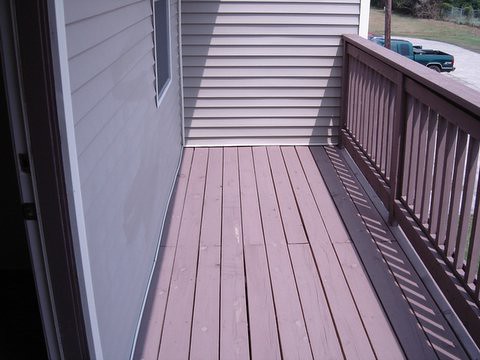
leet balcony
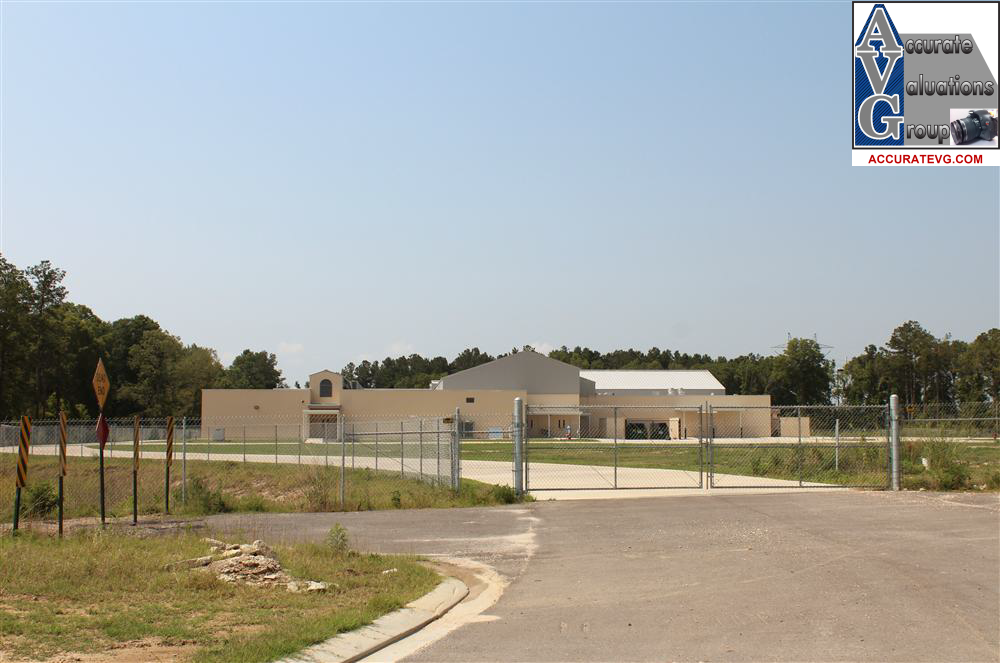
Juban Parc Elemenary School View From Rosedale Avenue Denham Springs LA 70726 Juban Parc Subdivision
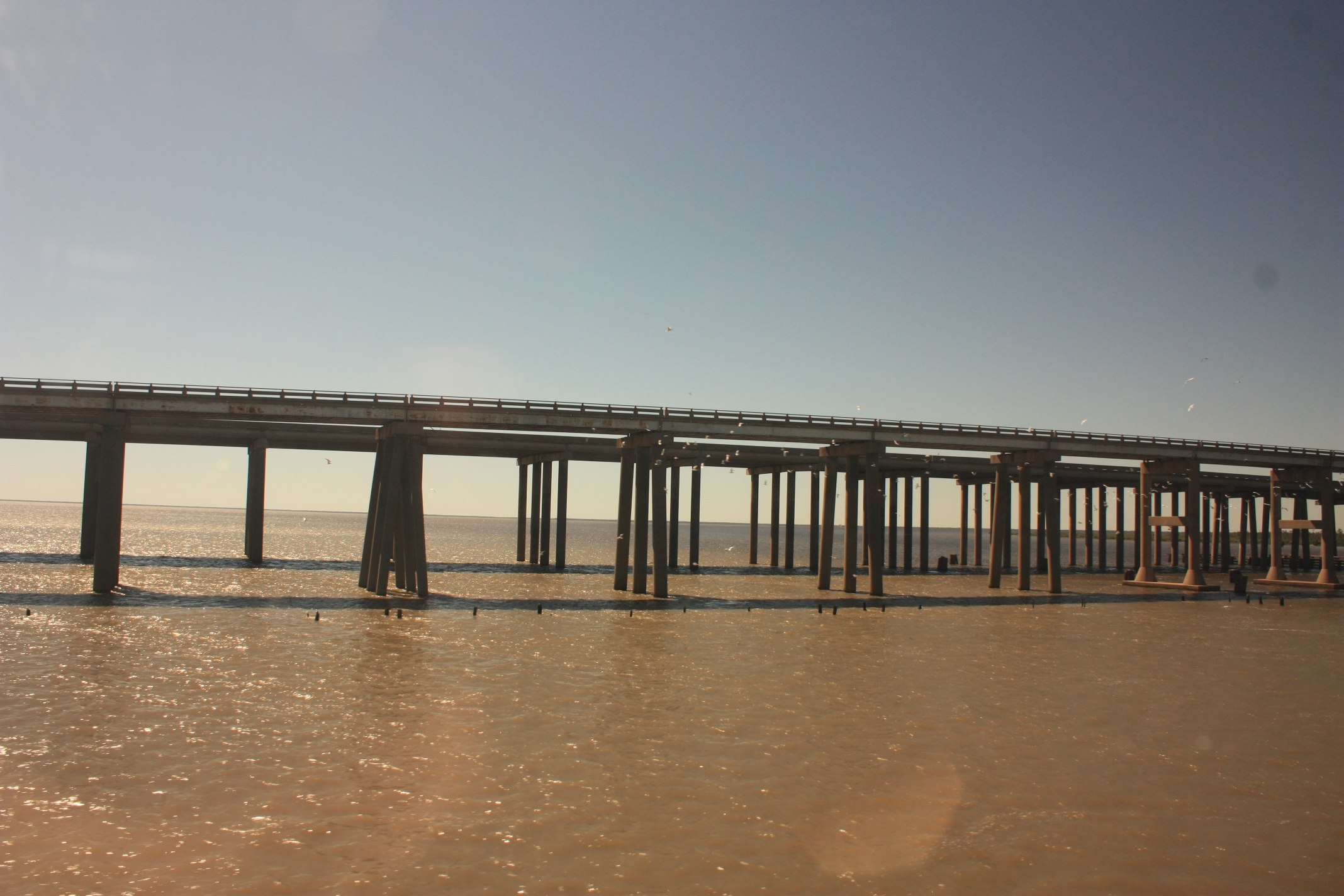
Head of Island [6332]
IMG_5754 (329 / 472)
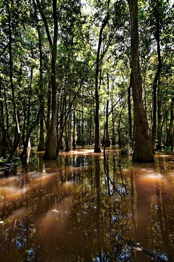
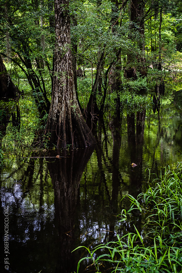
river or swamp?
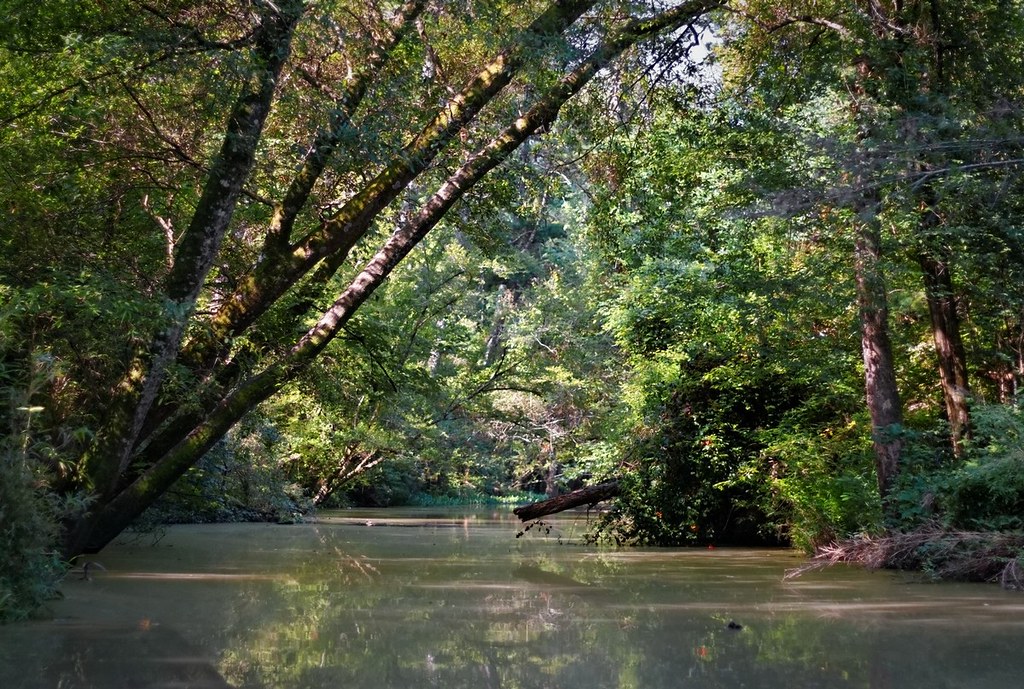
Tickfaw River canoe trail
Amite River [6308]
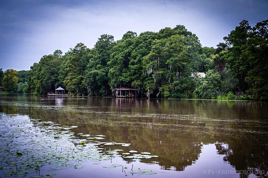
Head of Island [6262]
Amite River [6307]

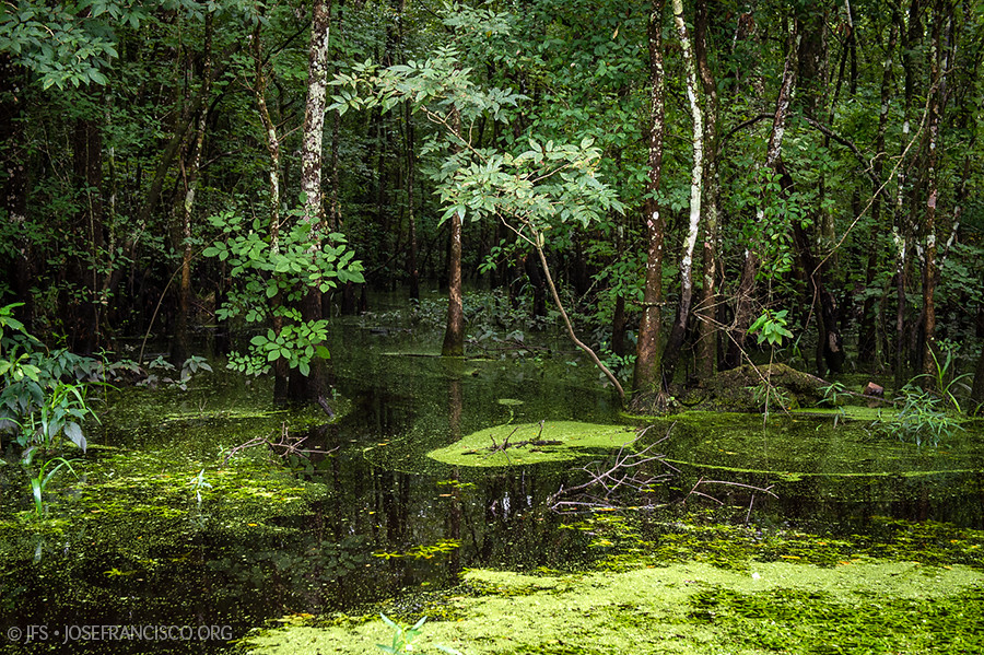
French Settlement Swamp
Topographic Map of Delia St, French Settlement, LA, USA
Find elevation by address:

Places near Delia St, French Settlement, LA, USA:
Dufour Road
17755 Cove Ln
15933 Cypress Point Ln
15810 La-16
French Settlement
15645 La-16
15645 La-16
South Brignac Drive
15515 La-16
15710 La-16
17595 Harvey Mcdonald Ln
17595 Harvey Mcdonald Ln
Port Vincent
19000 La-16
45073 Spellman Wall Rd
17252 Summerfield Rd
45073 Spellman Wall Rd
45073 Spellman Wall Rd
19440 La-16
19440 La-16
Recent Searches:
- Elevation of Corso Fratelli Cairoli, 35, Macerata MC, Italy
- Elevation of Tallevast Rd, Sarasota, FL, USA
- Elevation of 4th St E, Sonoma, CA, USA
- Elevation of Black Hollow Rd, Pennsdale, PA, USA
- Elevation of Oakland Ave, Williamsport, PA, USA
- Elevation of Pedrógão Grande, Portugal
- Elevation of Klee Dr, Martinsburg, WV, USA
- Elevation of Via Roma, Pieranica CR, Italy
- Elevation of Tavkvetili Mountain, Georgia
- Elevation of Hartfords Bluff Cir, Mt Pleasant, SC, USA