Elevation of Livingston Parish, LA, USA
Location: United States > Louisiana >
Longitude: -90.677304
Latitude: 30.4340146
Elevation: 5m / 16feet
Barometric Pressure: 101KPa
Elevation Map:
Satellite Map:
Related Photos:
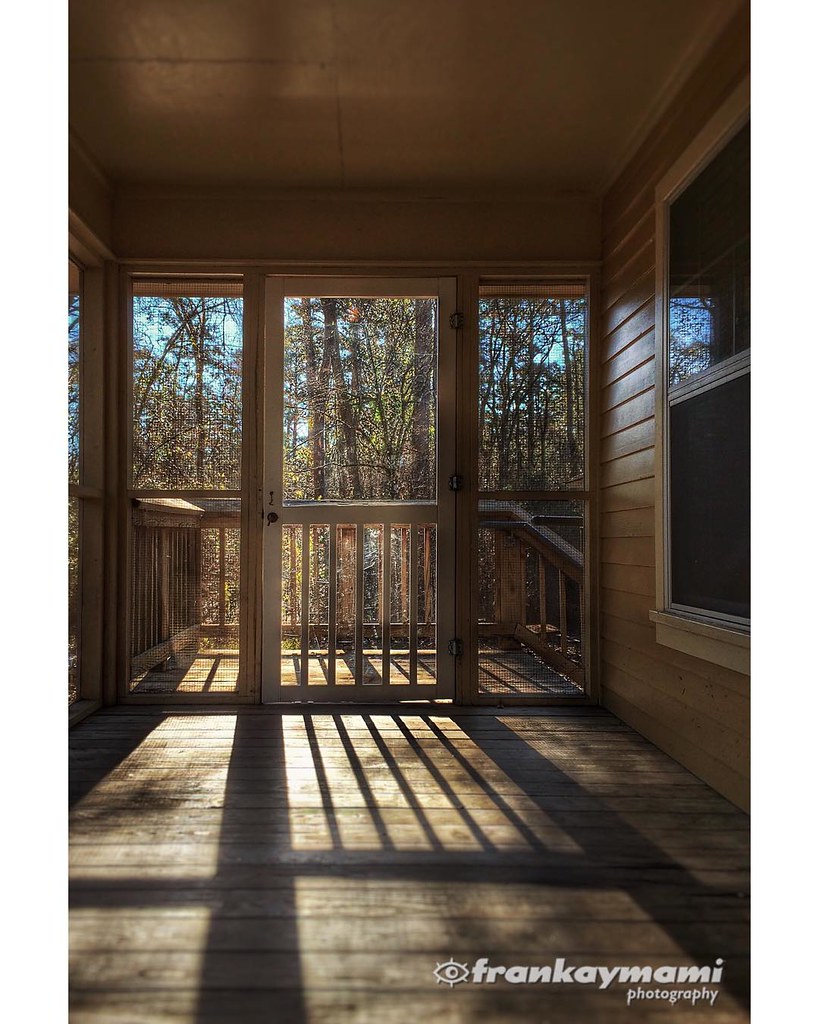
View from our cabin porch this morning.
IMG_5754 (329 / 472)
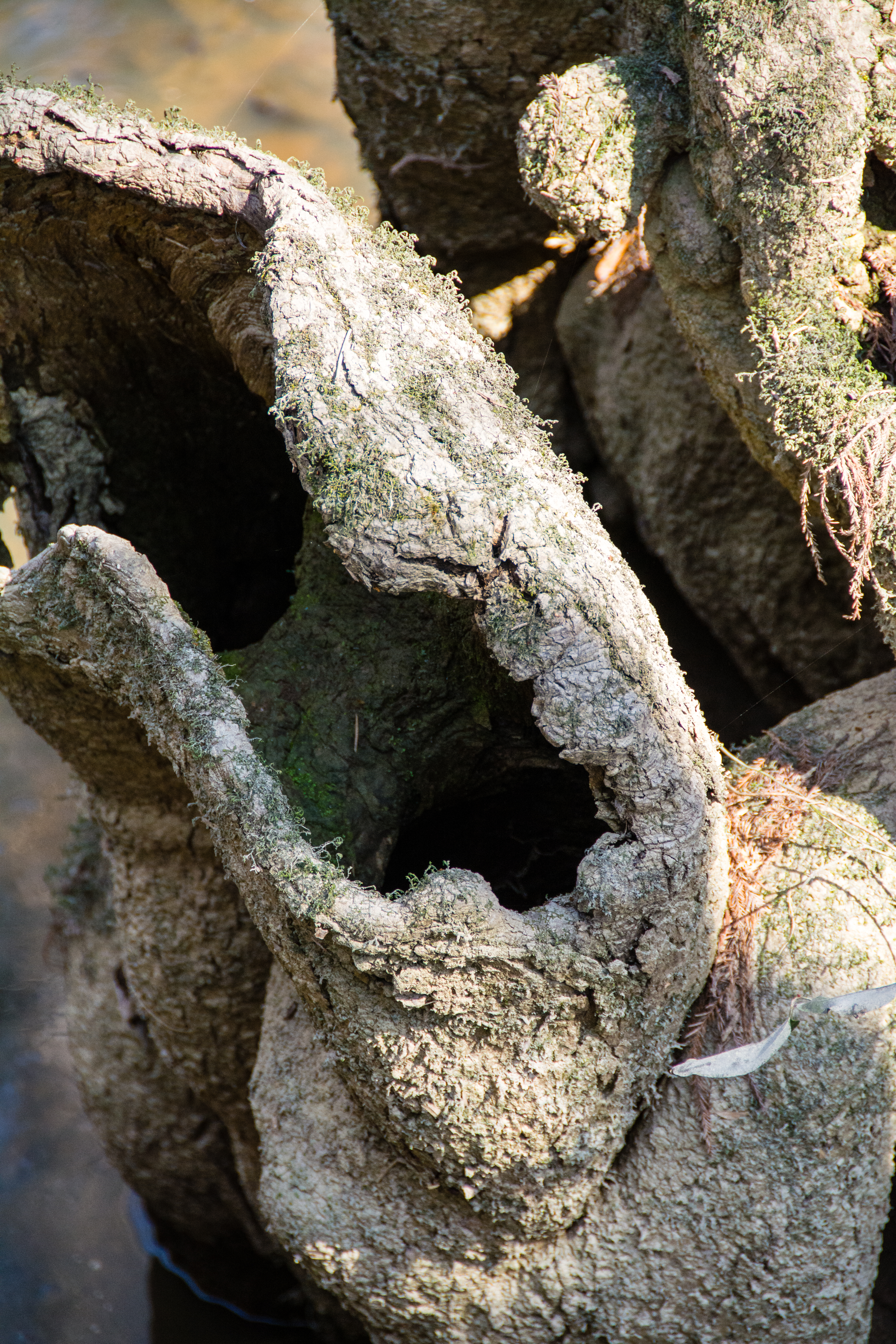
Cypress Knees-0292
Tickfaw-0382
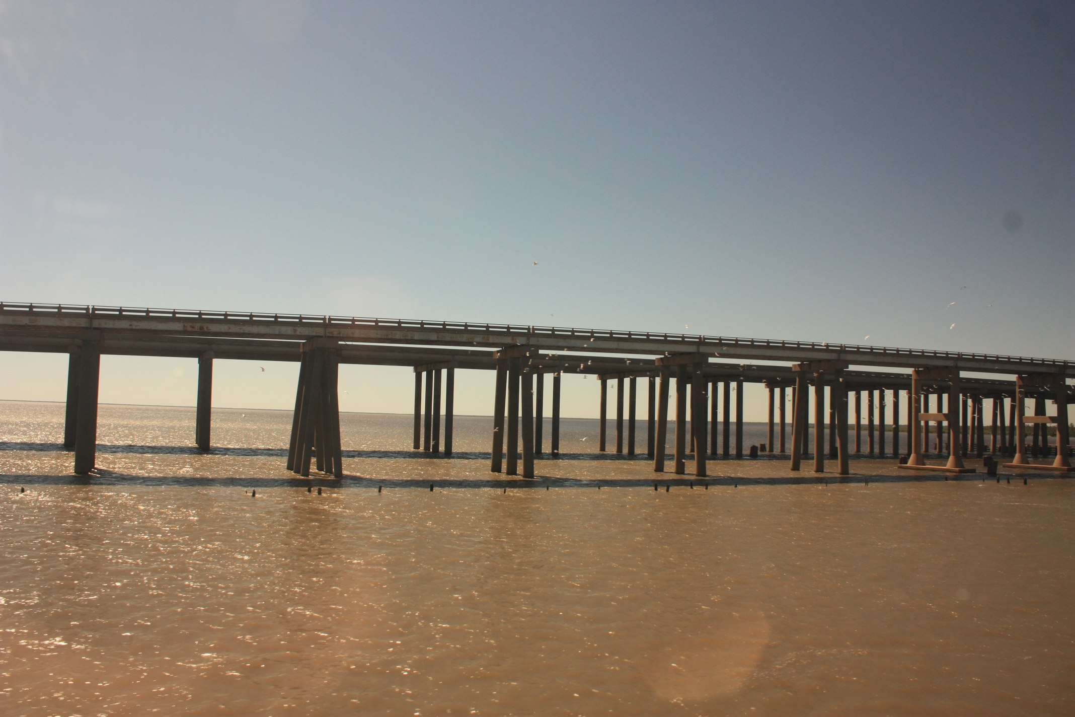
Tickfaw-0458
Tickfaw-0395

Tickfaw-0394
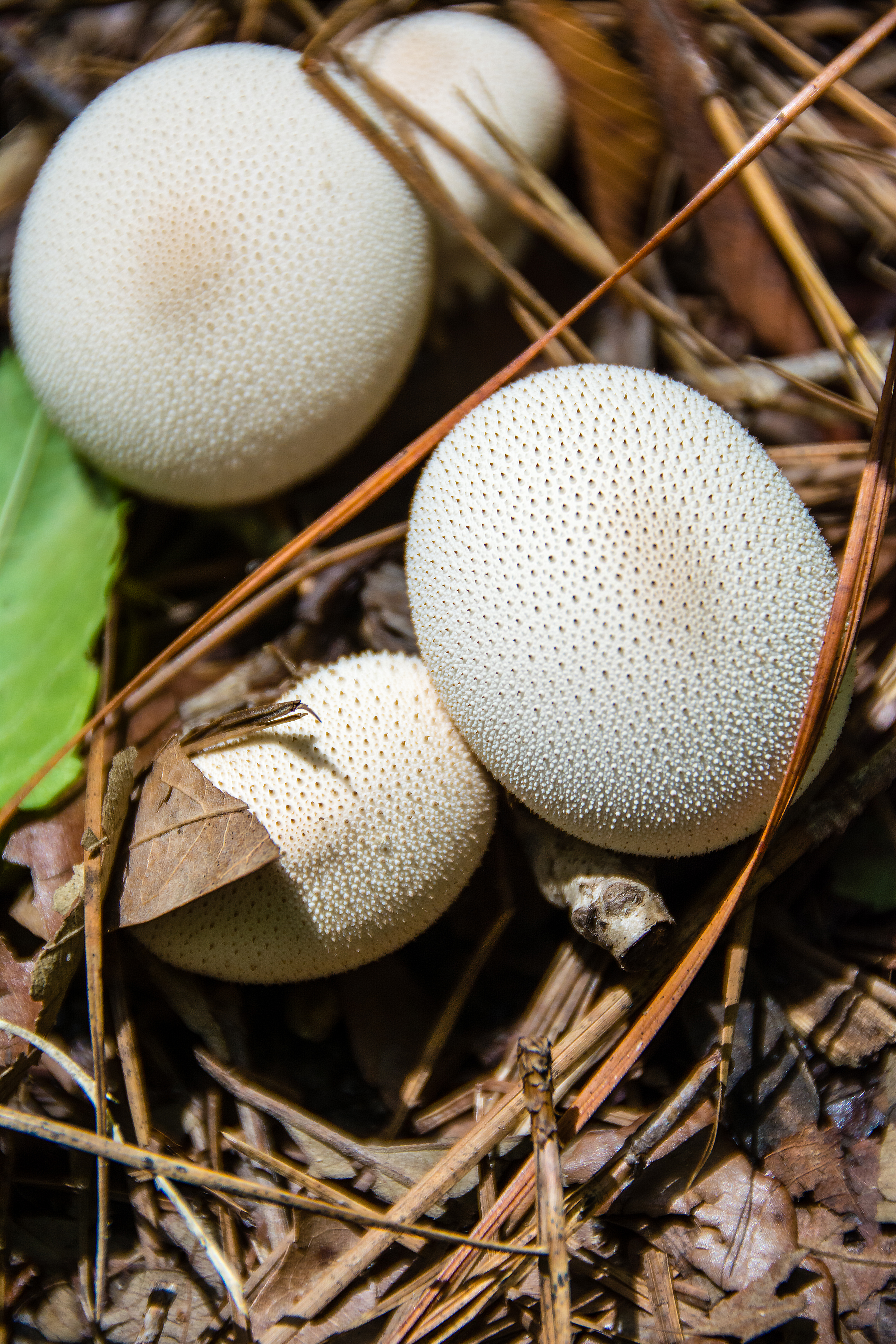
White Mushrooms

Tickfaw-0018
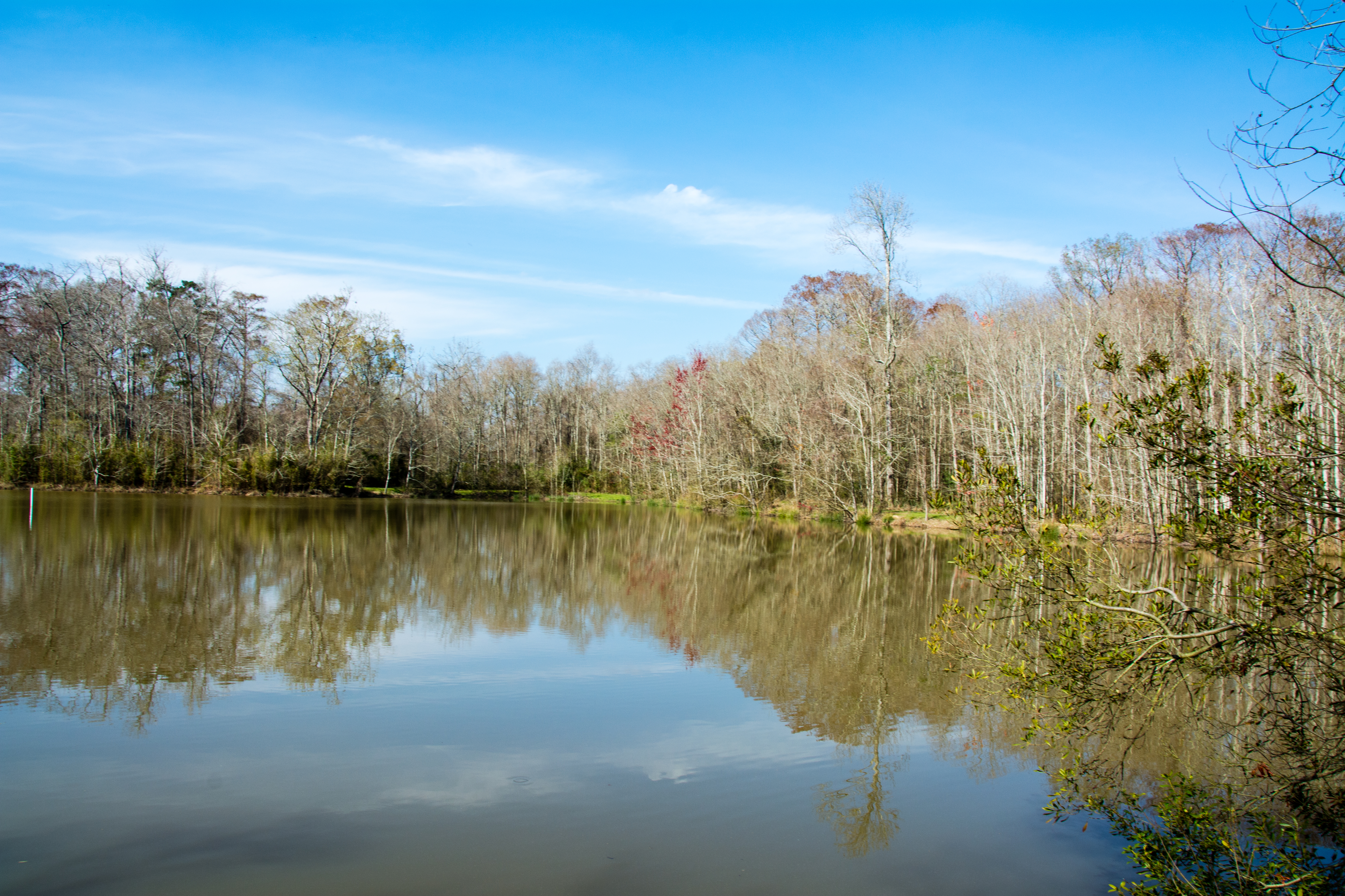
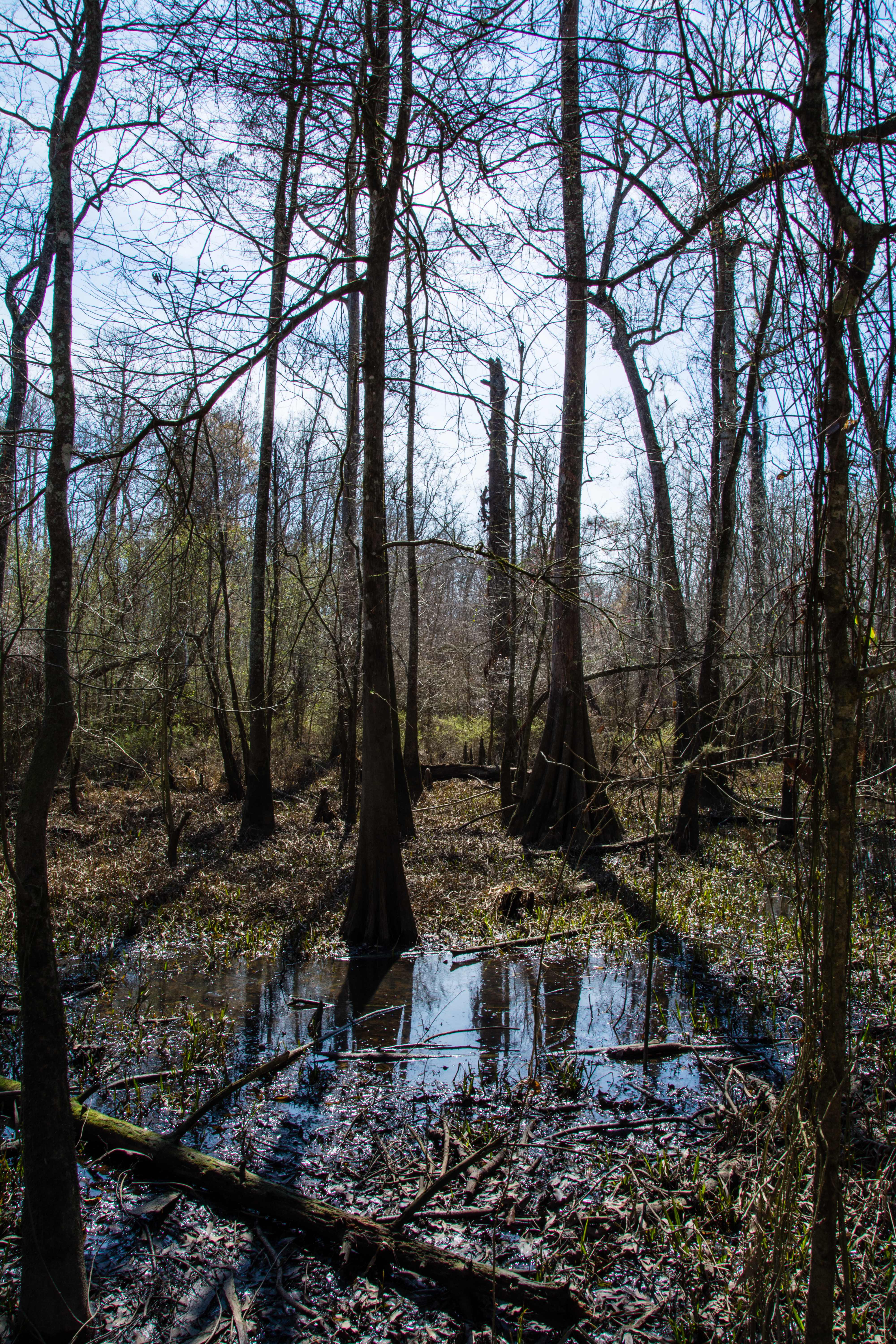
river or swamp?
Tickfaw-0377
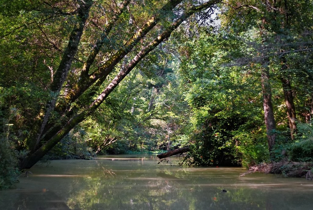
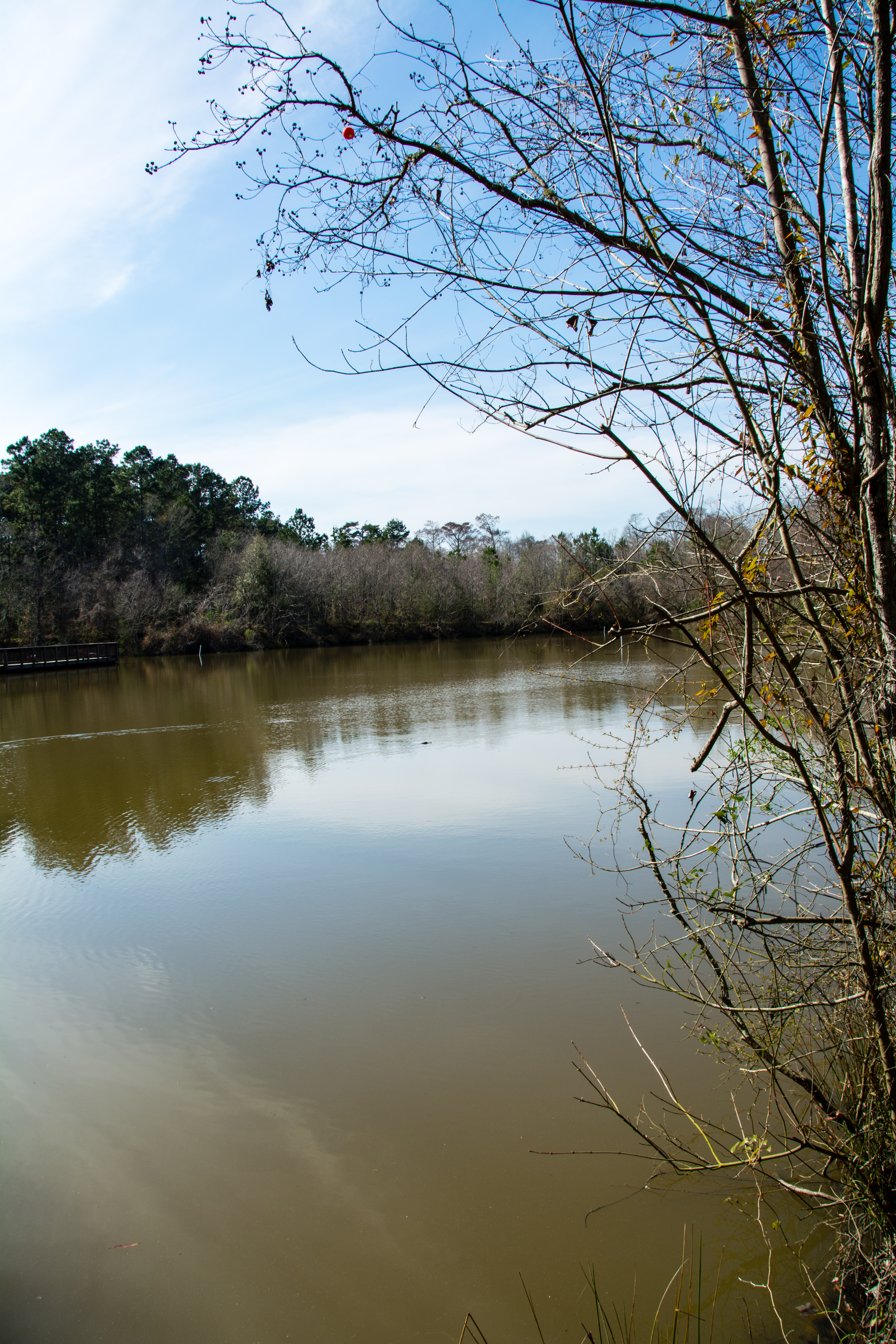
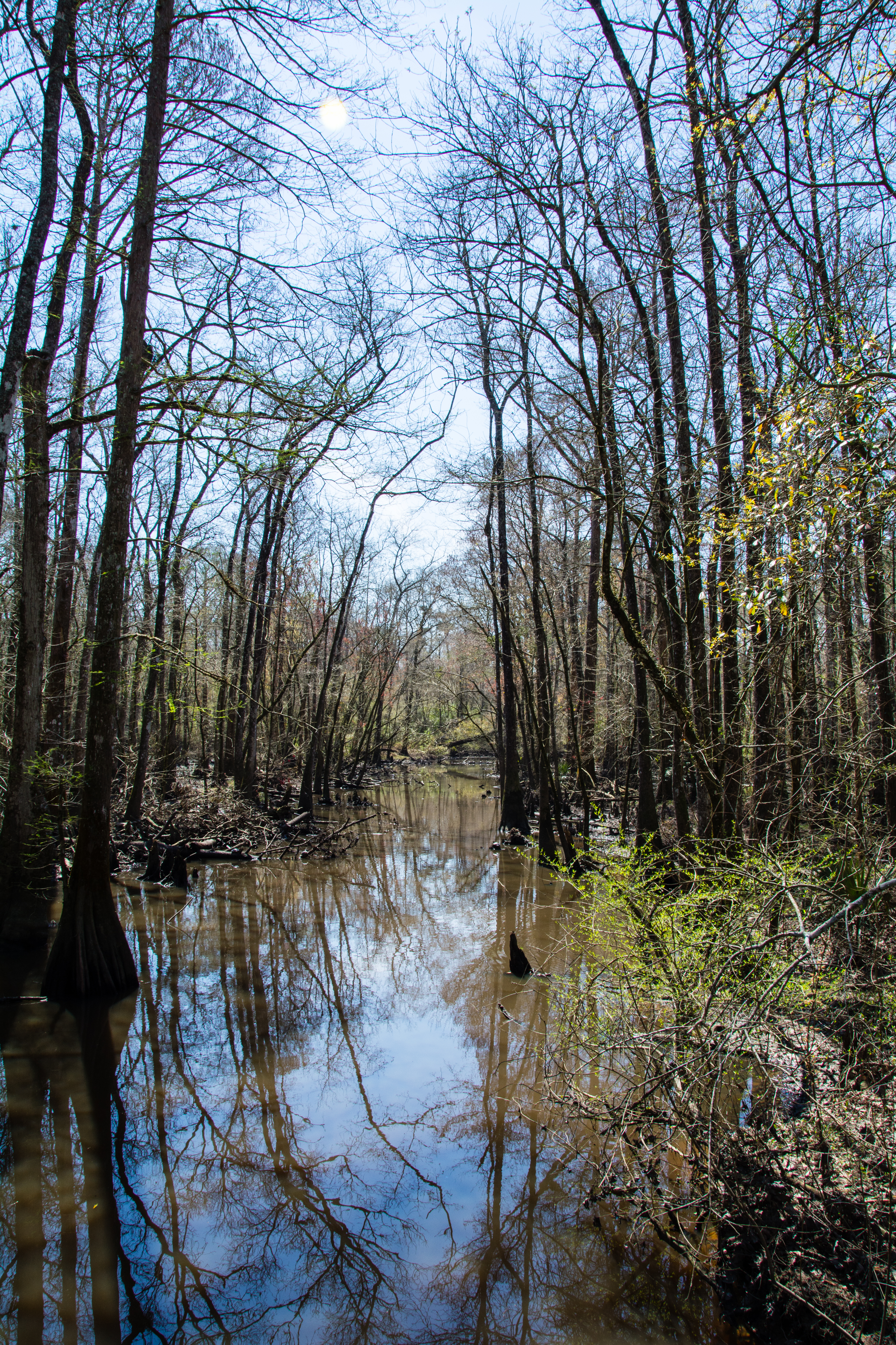
Tickfaw River canoe trail
Tickfaw-0178

Tickfaw-0364

Tickfaw-0373

Honey Bee-0022

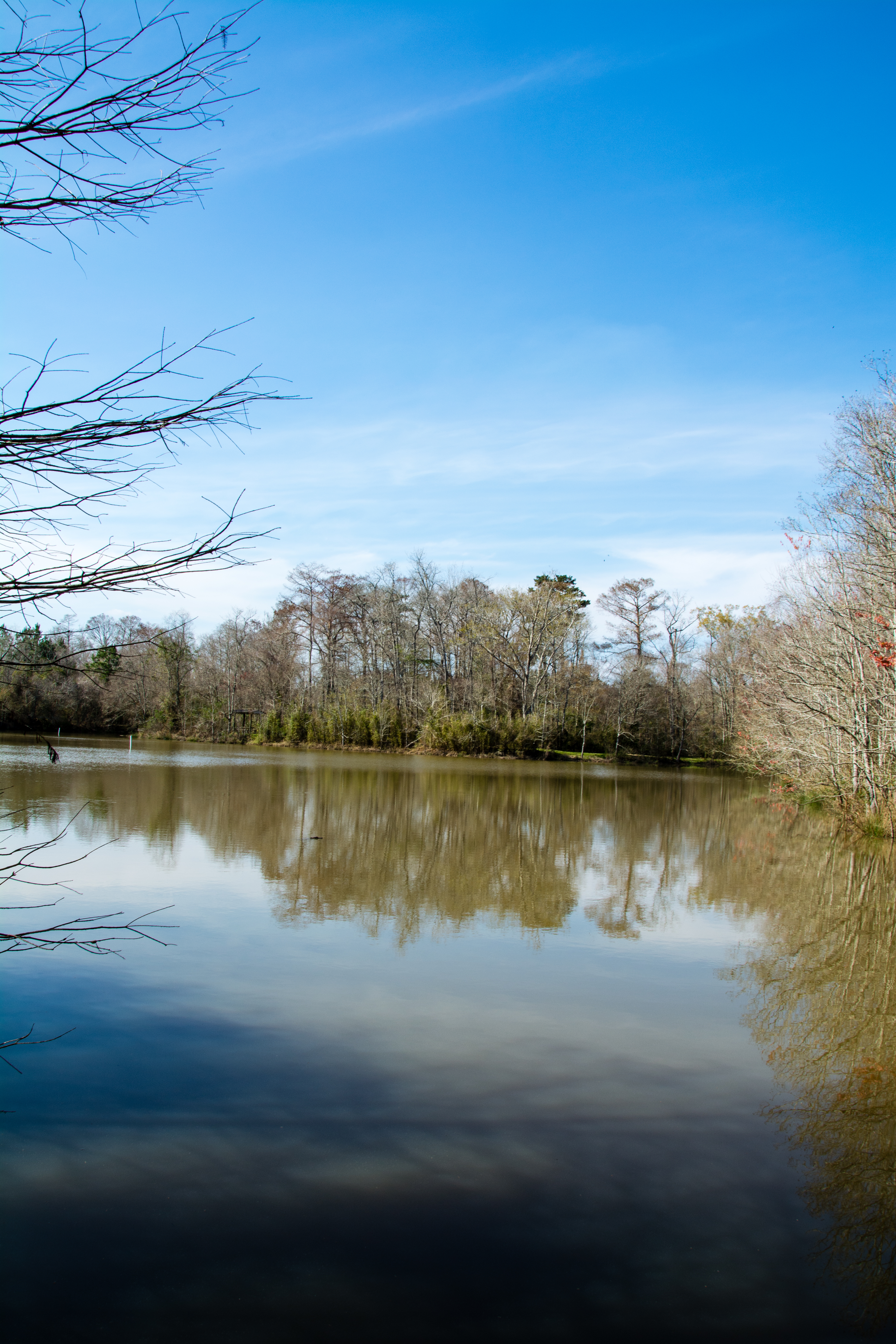
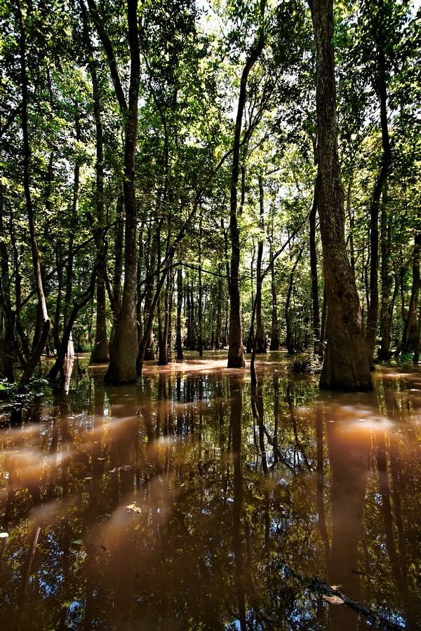
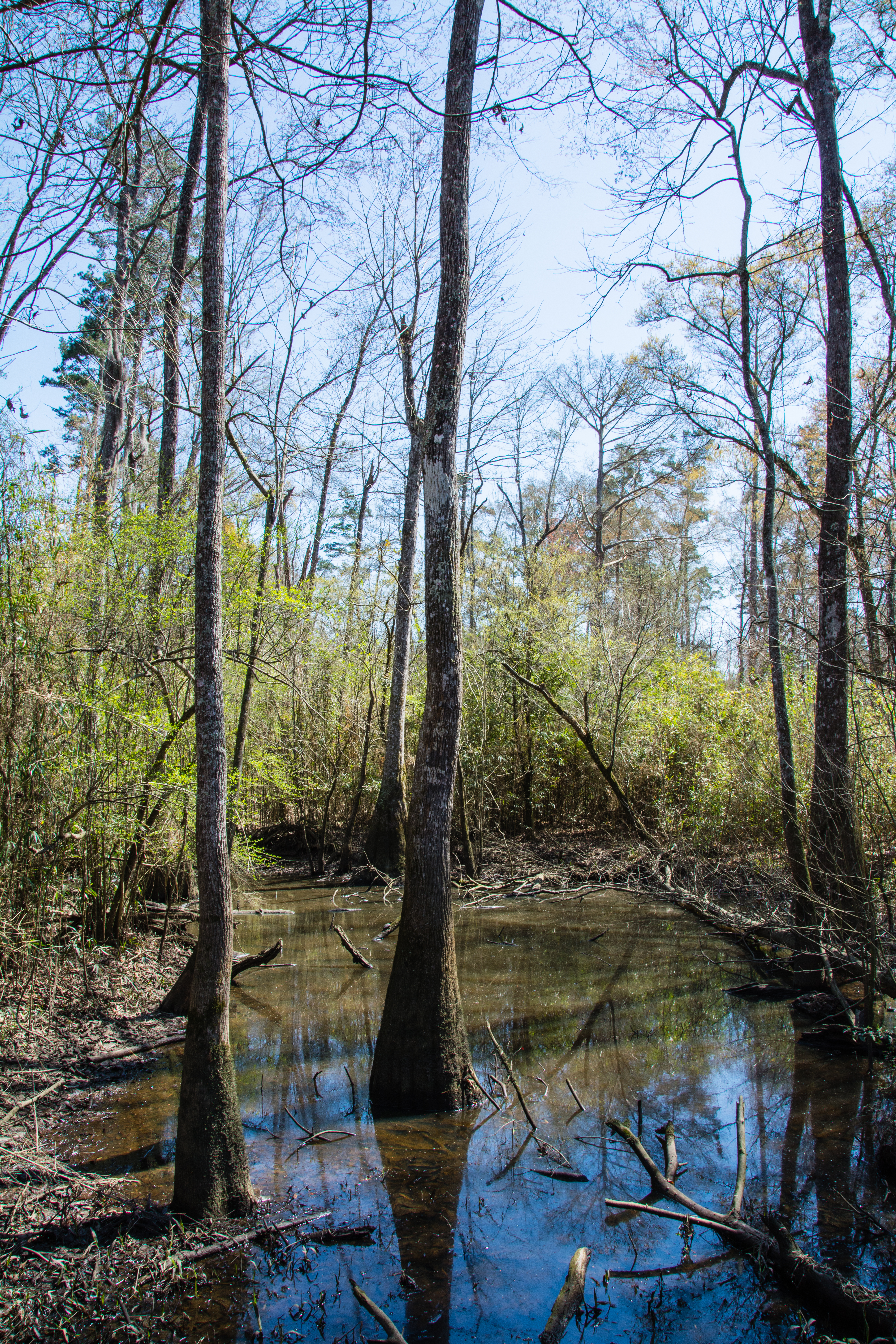
Green Swamp

Tickfaw-0362
Tickfaw-0215

Tickfaw-0369

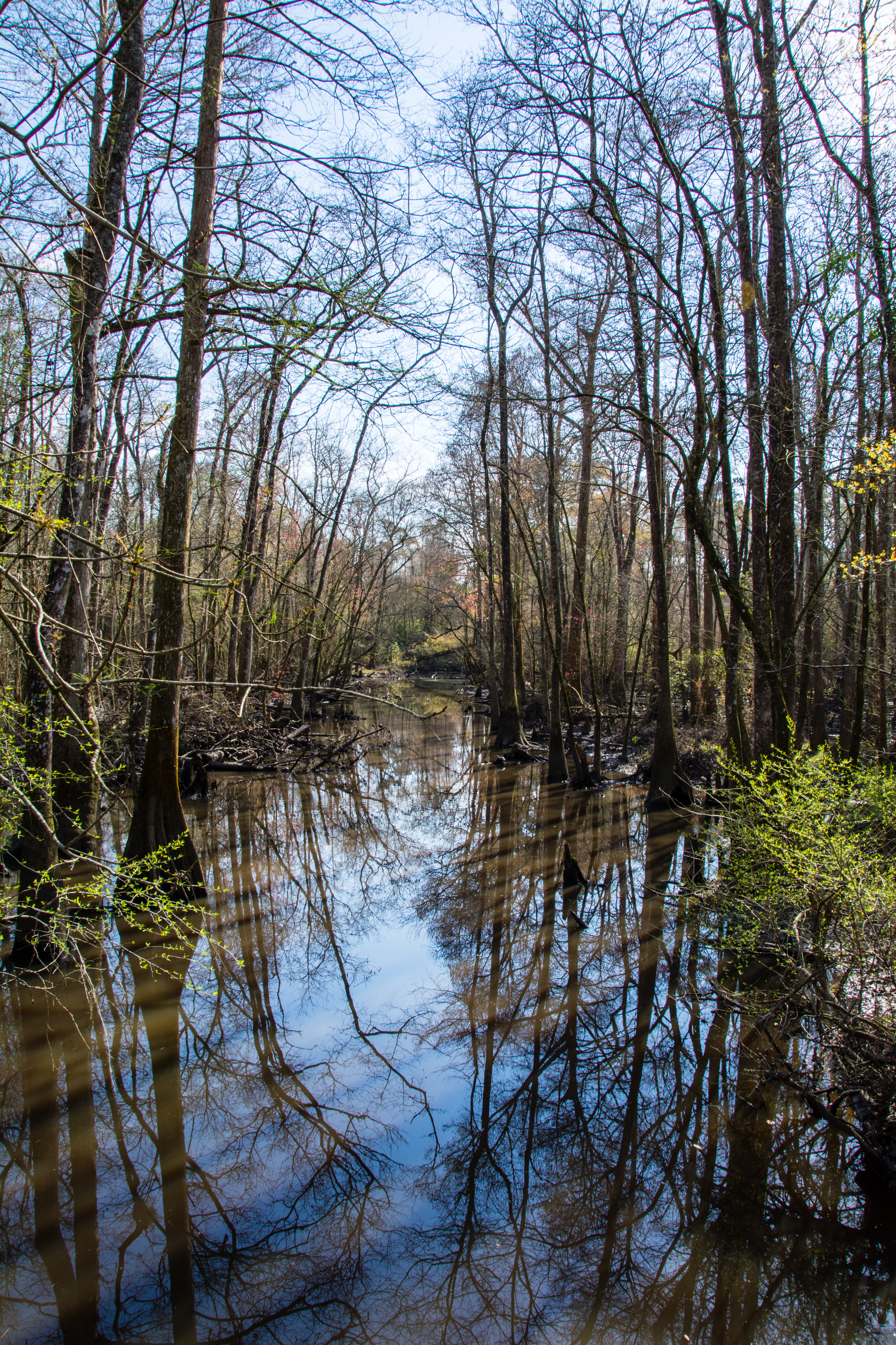
Bayou near and far
Tickfaw-0016
Topographic Map of Livingston Parish, LA, USA
Find elevation by address:

Places in Livingston Parish, LA, USA:
Denham Springs
2, LA, USA
6, LA, USA
5, LA, USA
7, LA, USA
3, LA, USA
8, LA, USA
9, LA, USA
1, LA, USA
Livingston
Florida Blvd, Holden, LA, USA
4, LA, USA
Dennis Mills
Killian
Places near Livingston Parish, LA, USA:
24850 La-42
25449 Jack Rhodus Rd
24697 Lee Field Rd
29601 La-441
Florida Blvd, Holden, LA, USA
16207 Florida Blvd
Holden
27855 James Chapel Rd N
25830 Oak Alley Dr
25830 Oak Alley Dr
17138 Florida Blvd
27919 Frindik Ln
25595 Mccarroll Rd
25595 Mccarroll Rd
24745 West St
Albany
Florida Blvd, Albany, LA, USA
31469 E Fekete Rd
Pardue Road
Springfield
Recent Searches:
- Elevation of Corso Fratelli Cairoli, 35, Macerata MC, Italy
- Elevation of Tallevast Rd, Sarasota, FL, USA
- Elevation of 4th St E, Sonoma, CA, USA
- Elevation of Black Hollow Rd, Pennsdale, PA, USA
- Elevation of Oakland Ave, Williamsport, PA, USA
- Elevation of Pedrógão Grande, Portugal
- Elevation of Klee Dr, Martinsburg, WV, USA
- Elevation of Via Roma, Pieranica CR, Italy
- Elevation of Tavkvetili Mountain, Georgia
- Elevation of Hartfords Bluff Cir, Mt Pleasant, SC, USA