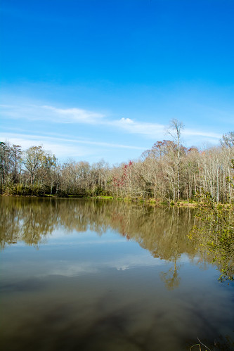
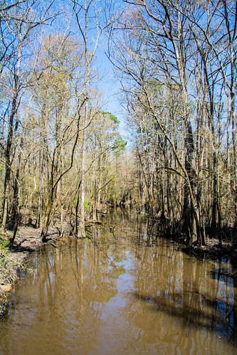
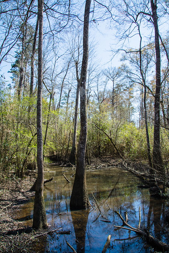
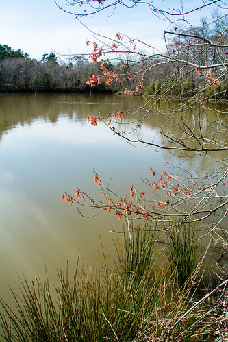
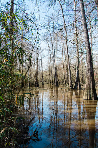
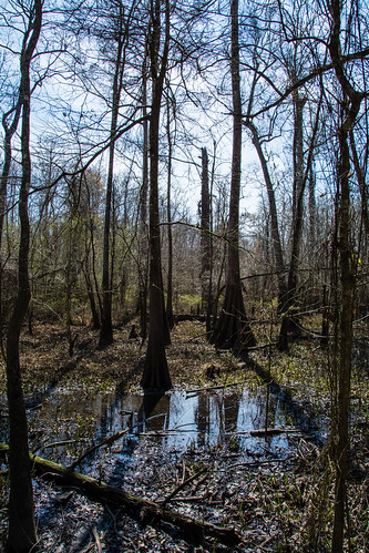
Elevation of LA-42, Holden, LA, USA
Location: United States > Louisiana > Livingston Parish > >
Longitude: -90.626229
Latitude: 30.4389799
Elevation: 5m / 16feet
Barometric Pressure: 101KPa
Related Photos:
Topographic Map of LA-42, Holden, LA, USA
Find elevation by address:

Places near LA-42, Holden, LA, USA:
25830 Oak Alley Dr
25830 Oak Alley Dr
27855 James Chapel Rd N
Livingston Parish
25449 Jack Rhodus Rd
25595 Mccarroll Rd
25595 Mccarroll Rd
24745 West St
17138 Florida Blvd
27919 Frindik Ln
Pardue Road
31469 E Fekete Rd
24697 Lee Field Rd
29601 La-441
Florida Blvd, Holden, LA, USA
Holden
Springfield
LA-22, Springfield, LA, USA
Albany
Florida Blvd, Albany, LA, USA
Recent Searches:
- Elevation of Corso Fratelli Cairoli, 35, Macerata MC, Italy
- Elevation of Tallevast Rd, Sarasota, FL, USA
- Elevation of 4th St E, Sonoma, CA, USA
- Elevation of Black Hollow Rd, Pennsdale, PA, USA
- Elevation of Oakland Ave, Williamsport, PA, USA
- Elevation of Pedrógão Grande, Portugal
- Elevation of Klee Dr, Martinsburg, WV, USA
- Elevation of Via Roma, Pieranica CR, Italy
- Elevation of Tavkvetili Mountain, Georgia
- Elevation of Hartfords Bluff Cir, Mt Pleasant, SC, USA
