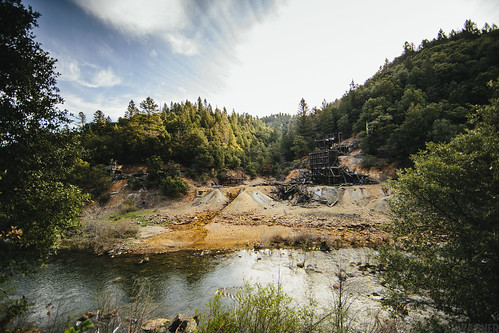
Elevation of Fremont Way, Oak Run, CA, USA
Location: United States > California > Shasta County > Oak Run >
Longitude: -121.91995
Latitude: 40.7405175
Elevation: 829m / 2720feet
Barometric Pressure: 92KPa
Related Photos:
Topographic Map of Fremont Way, Oak Run, CA, USA
Find elevation by address:

Places near Fremont Way, Oak Run, CA, USA:
30303 Fremont Way
30057 Smith Logging Rd
30057 Smith Logging Rd
30057 Smith Logging Rd
14788 Phillips Rd
30057 Rl Smith Logging Rd
17167 Phillips Rd
14681 Fern Rd E
15130 Sherwood Forest Rd
15130 Sherwood Forest Rd
15130 Sherwood Forest Rd
15130 Sherwood Forrest Rd
15130 Sherwood Forrest Rd
15130 Sherwood Forrest Rd
16211 Buzzard Roost Rd
28700 Ca-299
13353 Fern Rd
12847 Fern Rd
12855 Fern Rd
12582 Fern Rd
Recent Searches:
- Elevation of Corso Fratelli Cairoli, 35, Macerata MC, Italy
- Elevation of Tallevast Rd, Sarasota, FL, USA
- Elevation of 4th St E, Sonoma, CA, USA
- Elevation of Black Hollow Rd, Pennsdale, PA, USA
- Elevation of Oakland Ave, Williamsport, PA, USA
- Elevation of Pedrógão Grande, Portugal
- Elevation of Klee Dr, Martinsburg, WV, USA
- Elevation of Via Roma, Pieranica CR, Italy
- Elevation of Tavkvetili Mountain, Georgia
- Elevation of Hartfords Bluff Cir, Mt Pleasant, SC, USA
