Elevation map of Fraser-Fort George G, BC, Canada
Location: Canada > British Columbia > Fraser-fort George >
Longitude: -122.73792
Latitude: 54.7694576
Elevation: 863m / 2831feet
Barometric Pressure: 91KPa
Elevation Map:
Satellite Map:
Related Photos:

Crossing the Pine River #explorebc #explorecanada #bc #britishcolumbia #pineriver #nwp #northernbc #neilwaltonphotography #images #iphone #instagram
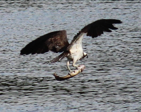
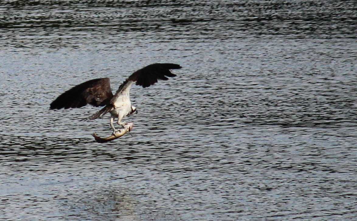
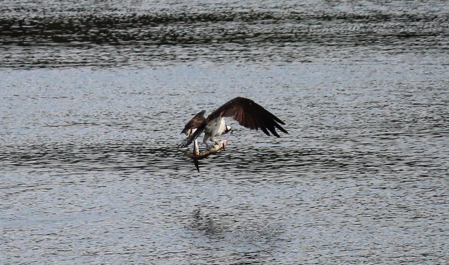
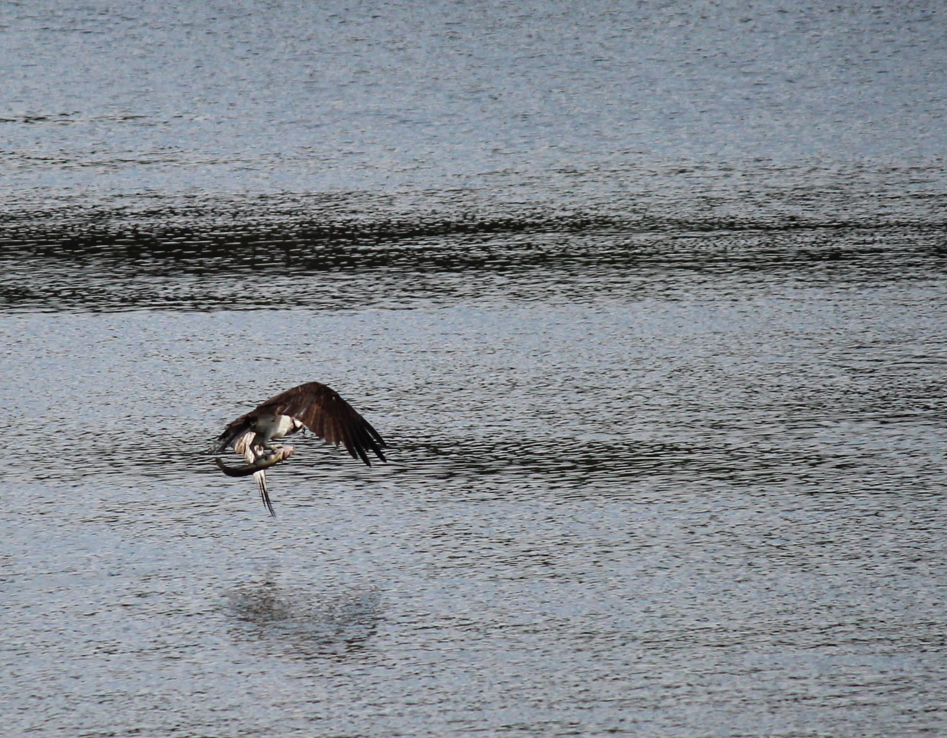
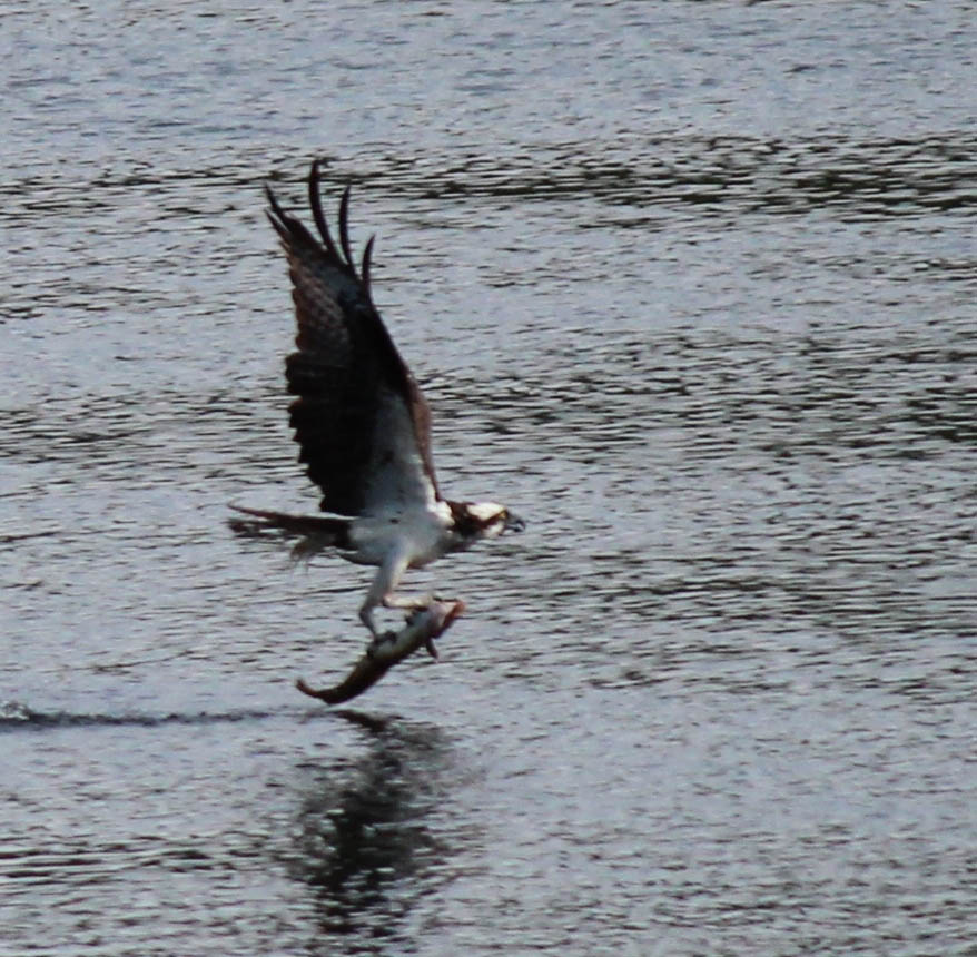
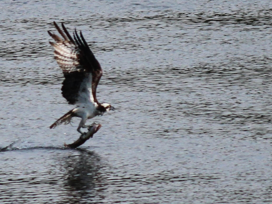
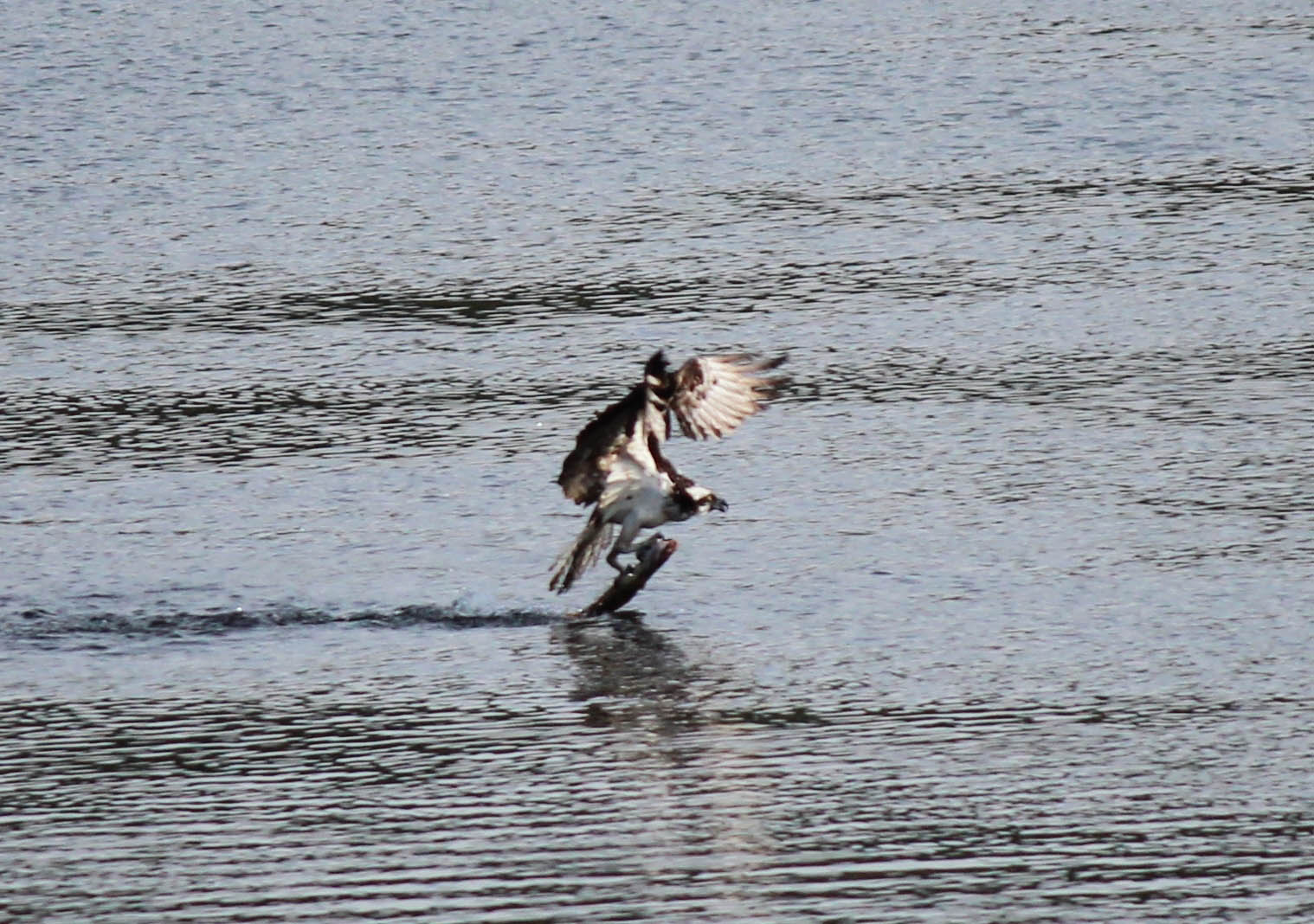
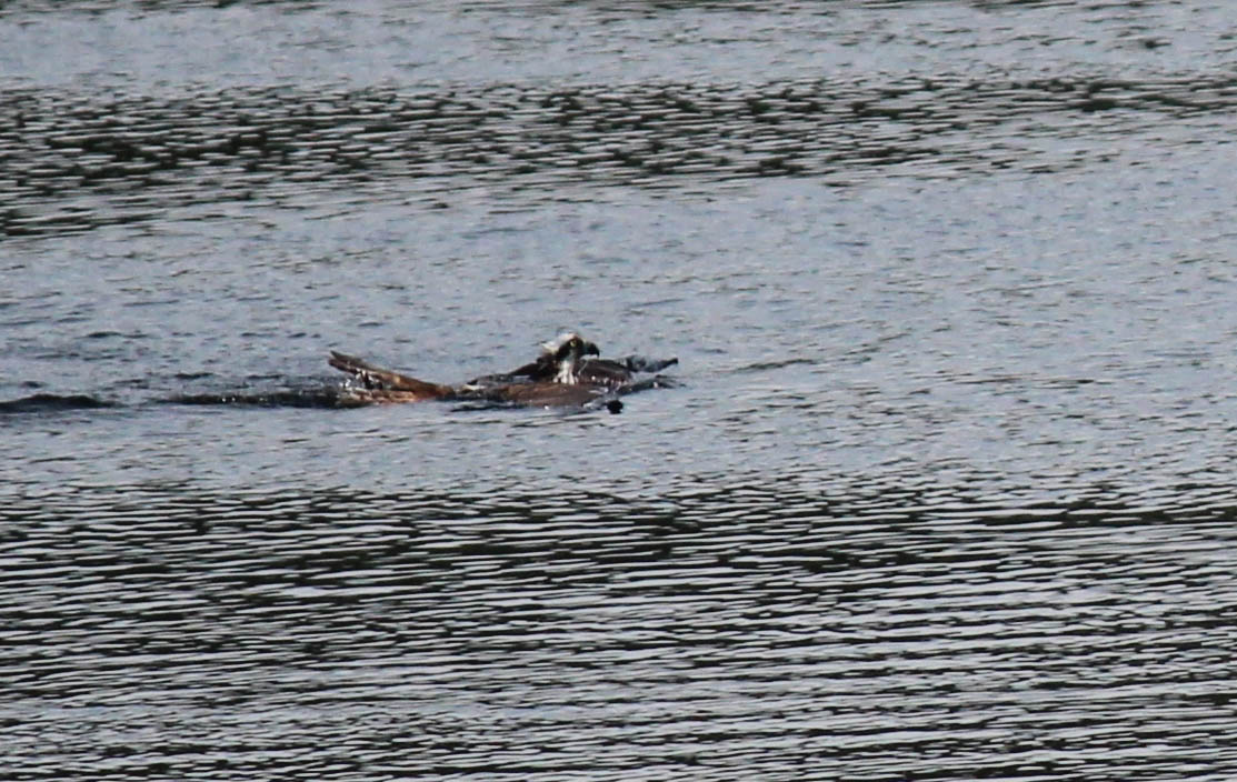
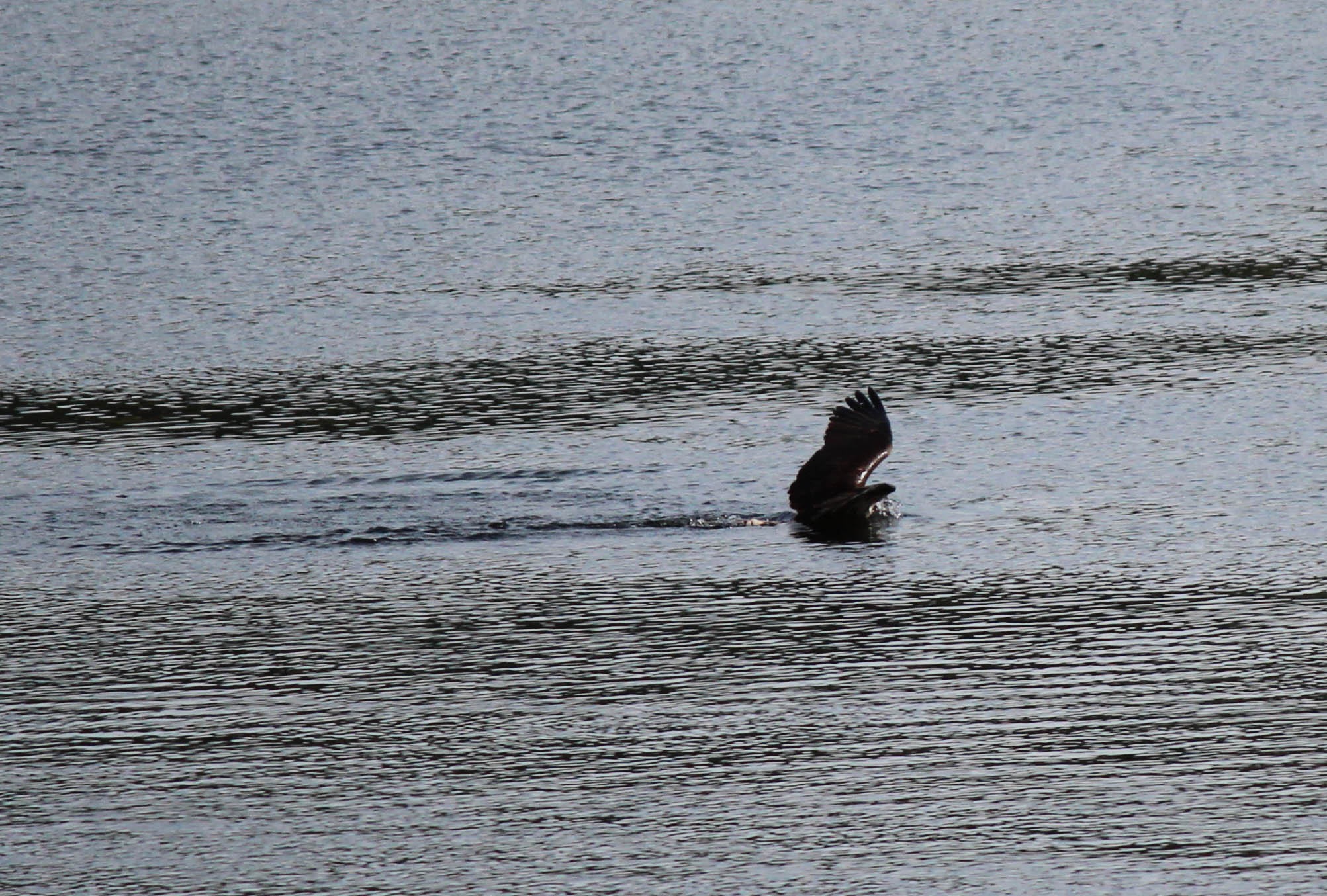
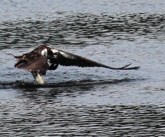
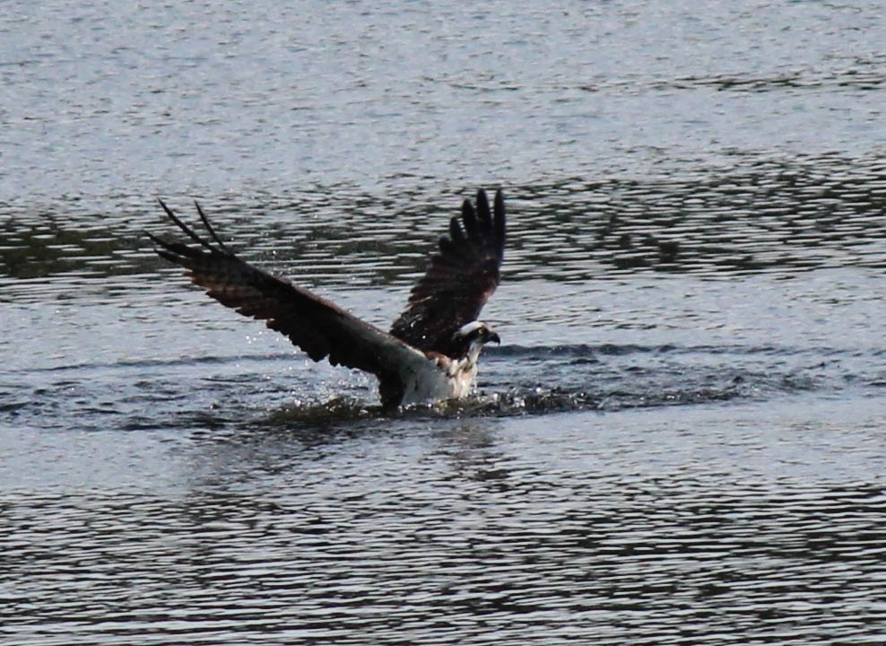
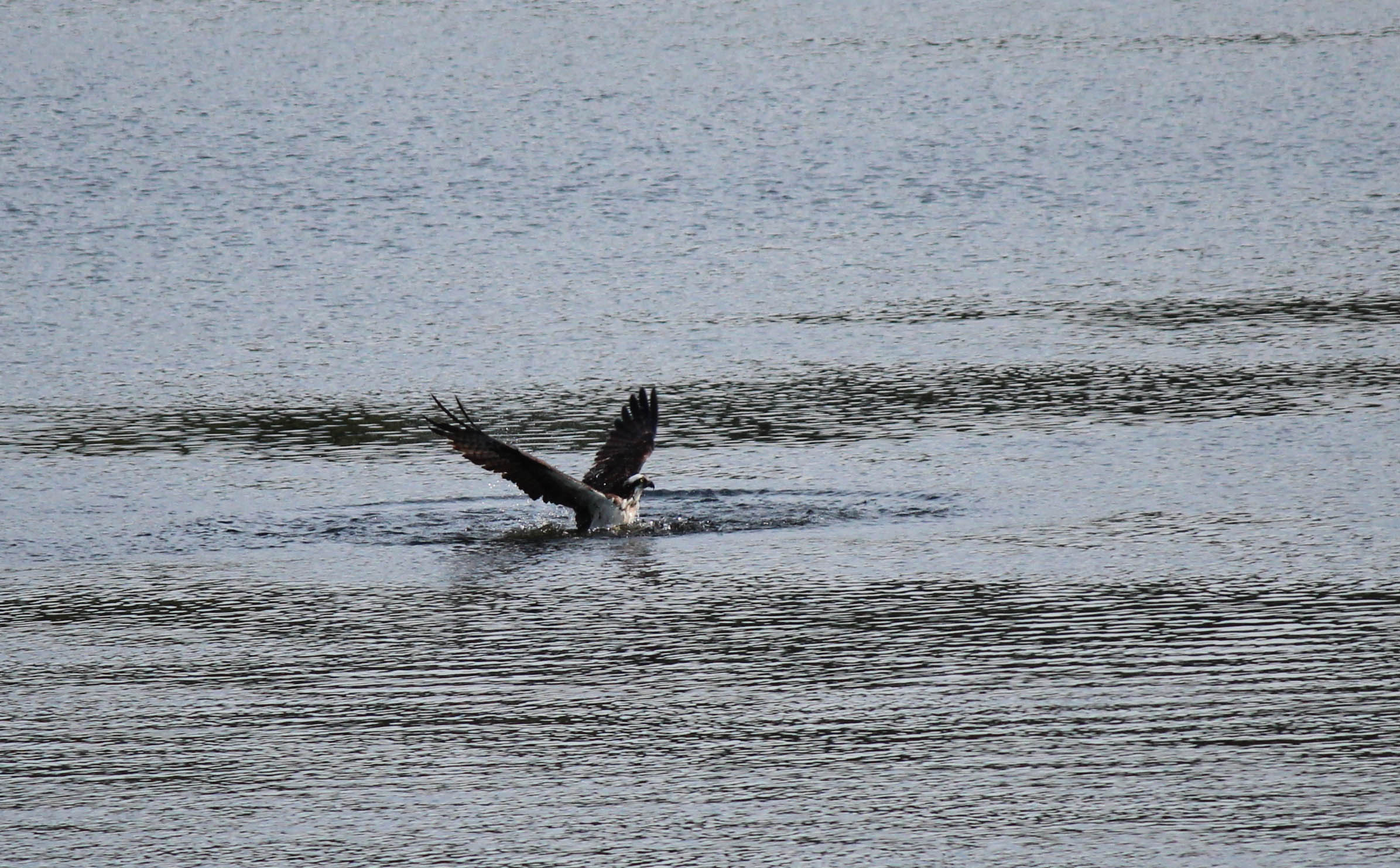
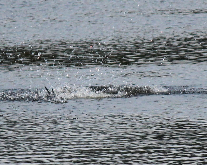
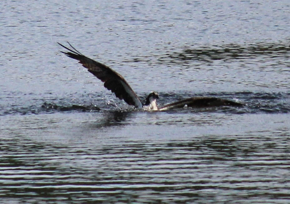
Osprey Fishing
IMG_1361.jpg
IMG_1360-2.jpg
IMG_1359.jpg
IMG_1358-2.jpg
IMG_1357-2.jpg
IMG_1356.jpg
IMG_1354.jpg
IMG_1353.jpg

IMG_1352.jpg

IMG_1351.jpg
IMG_1350-2.jpg
IMG_1350.jpg
IMG_1349-2.jpg
IMG_1348-2.jpg
IMG_1348.jpg
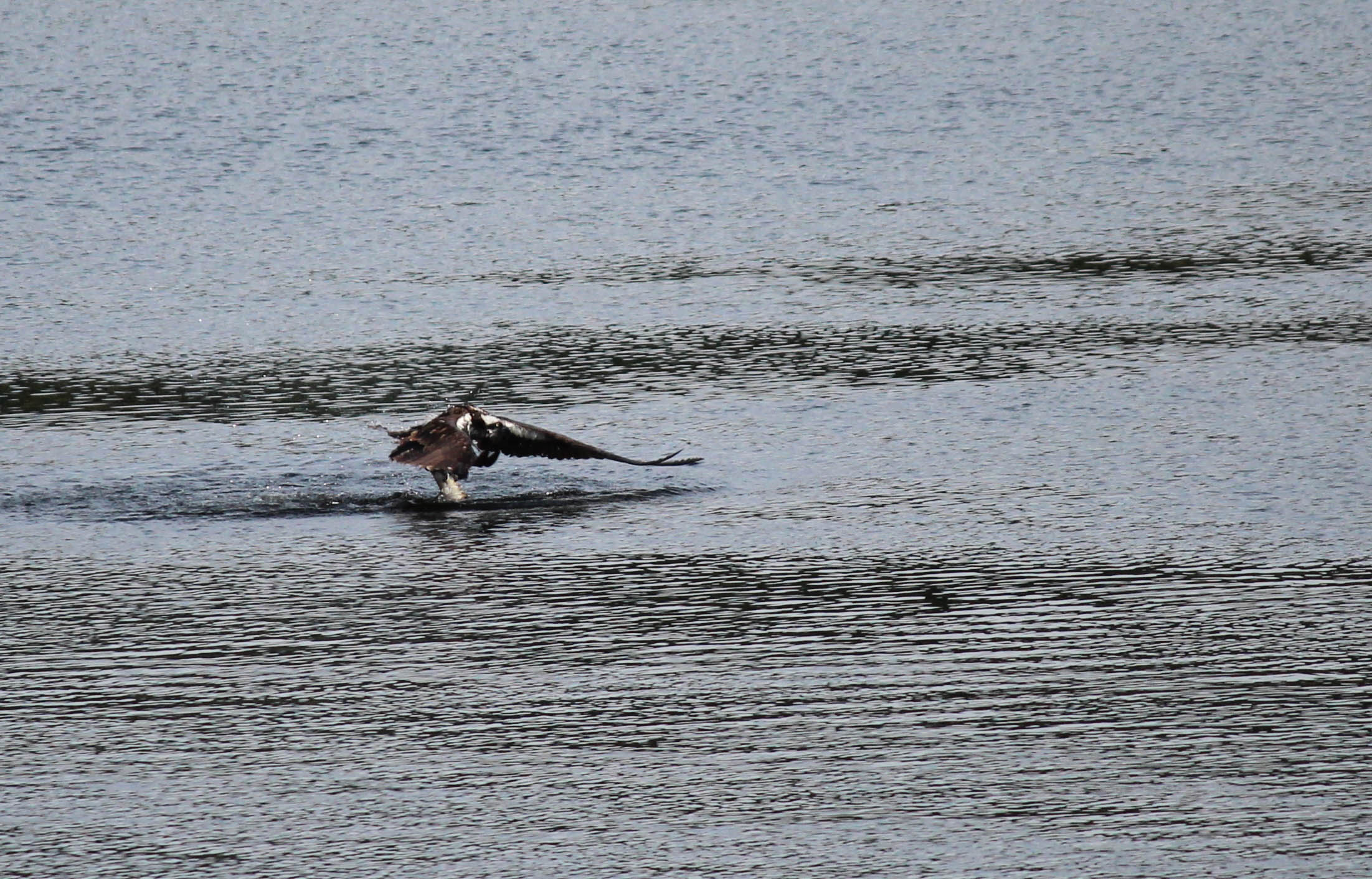
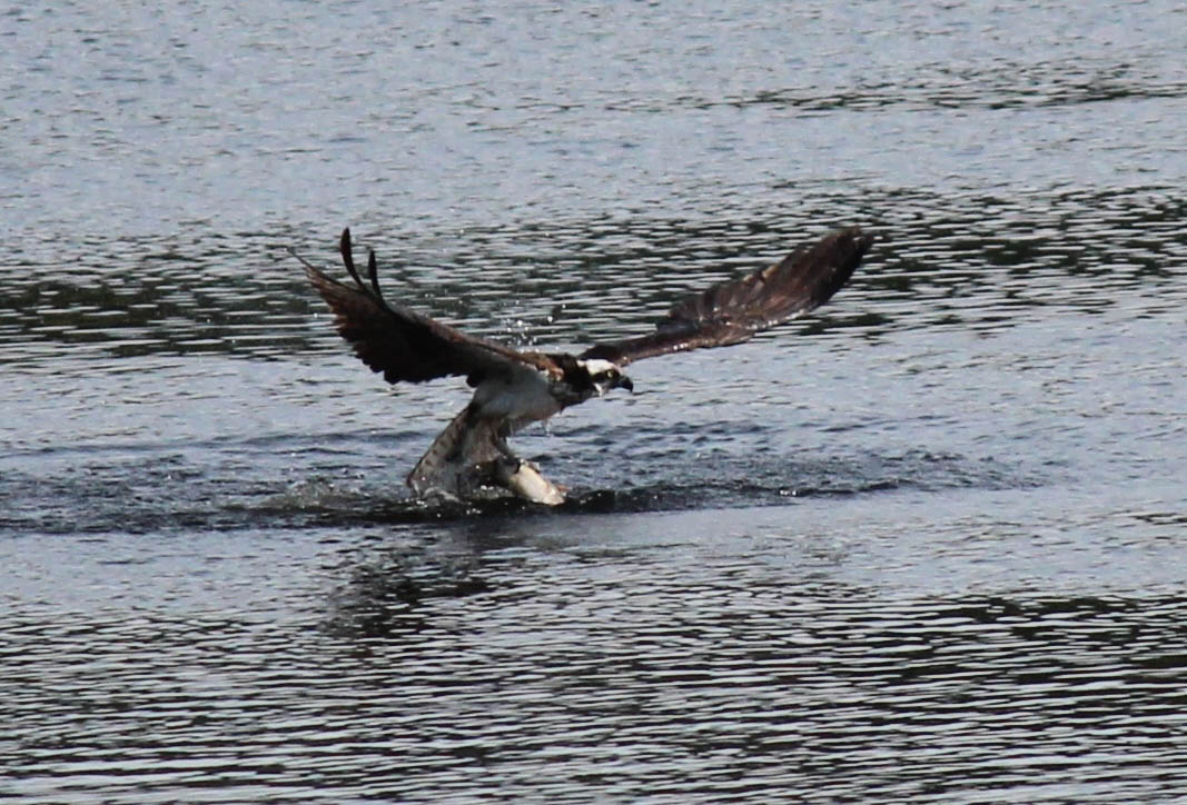
Osprey Fishing

IMG_1344-2.jpg

IMG_1343-2.jpg
IMG_1342-2.jpg
Topographic Map of Fraser-Fort George G, BC, Canada
Find elevation by address:

Places in Fraser-Fort George G, BC, Canada:
Summit Lake
Overland Peak
47 Panda Ave, Fraser-Fort George G, BC V0J, Canada
Hart Hwy GD, Fraser-Fort George G, BC V0J, Canada
Bear Lake
Mcleod Lake
Morfee Mountain Road
Mount Morfee
Places near Fraser-Fort George G, BC, Canada:
47 Panda Ave, Fraser-Fort George G, BC V0J, Canada
Bear Lake
Summit Lake
Summit Lake
13430 Hubert Rd
Chief Lake
Nukko Lake
Chief Lake Rd, Prince George, BC V2K 5K8, Canada
Willow River
Kelly Road North
5655 Sooke Rd
14590 Upper Fraser Rd
11905 Ensilwood Rd
4171 Nordic Dr
4608 Crocus Crescent
Austin Road West
Montgomery Crescent
V2k 4x1
Canfor Adminstration Centre
Upper Fraser Rd, Willow River, BC V0J 3C0, Canada
Recent Searches:
- Elevation of Corso Fratelli Cairoli, 35, Macerata MC, Italy
- Elevation of Tallevast Rd, Sarasota, FL, USA
- Elevation of 4th St E, Sonoma, CA, USA
- Elevation of Black Hollow Rd, Pennsdale, PA, USA
- Elevation of Oakland Ave, Williamsport, PA, USA
- Elevation of Pedrógão Grande, Portugal
- Elevation of Klee Dr, Martinsburg, WV, USA
- Elevation of Via Roma, Pieranica CR, Italy
- Elevation of Tavkvetili Mountain, Georgia
- Elevation of Hartfords Bluff Cir, Mt Pleasant, SC, USA