Elevation of Upper Fraser Rd, Prince George, BC V2K 5C9, Canada
Location: Canada > British Columbia > Fraser-fort George > Fraser-fort George F >
Longitude: -122.46821
Latitude: 54.0633022
Elevation: 585m / 1919feet
Barometric Pressure: 94KPa
Elevation Map:
Satellite Map:
Related Photos:

Snake Grass

Mmmmm - Dragonflys...
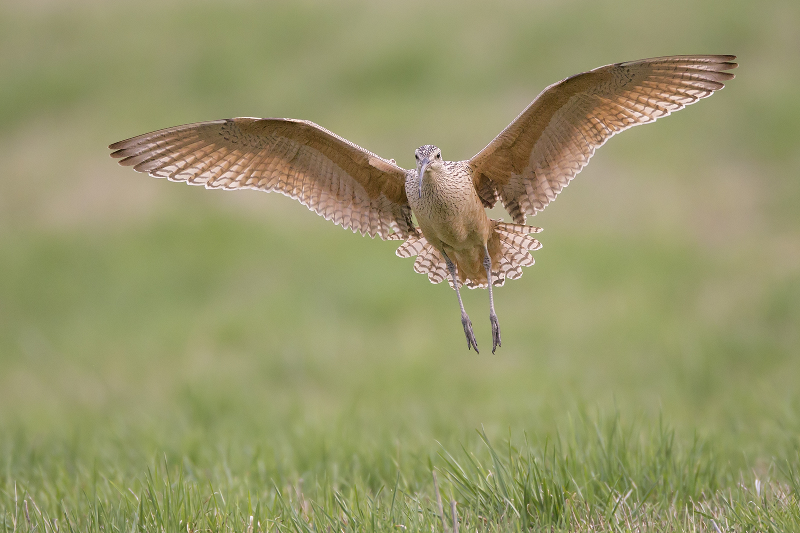
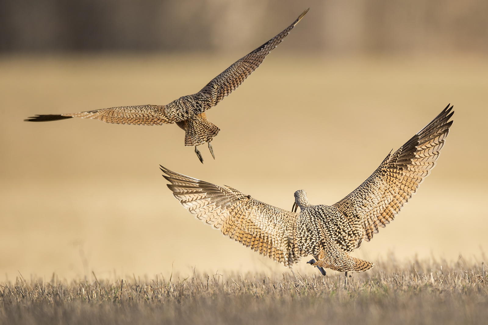
Landing Curlew
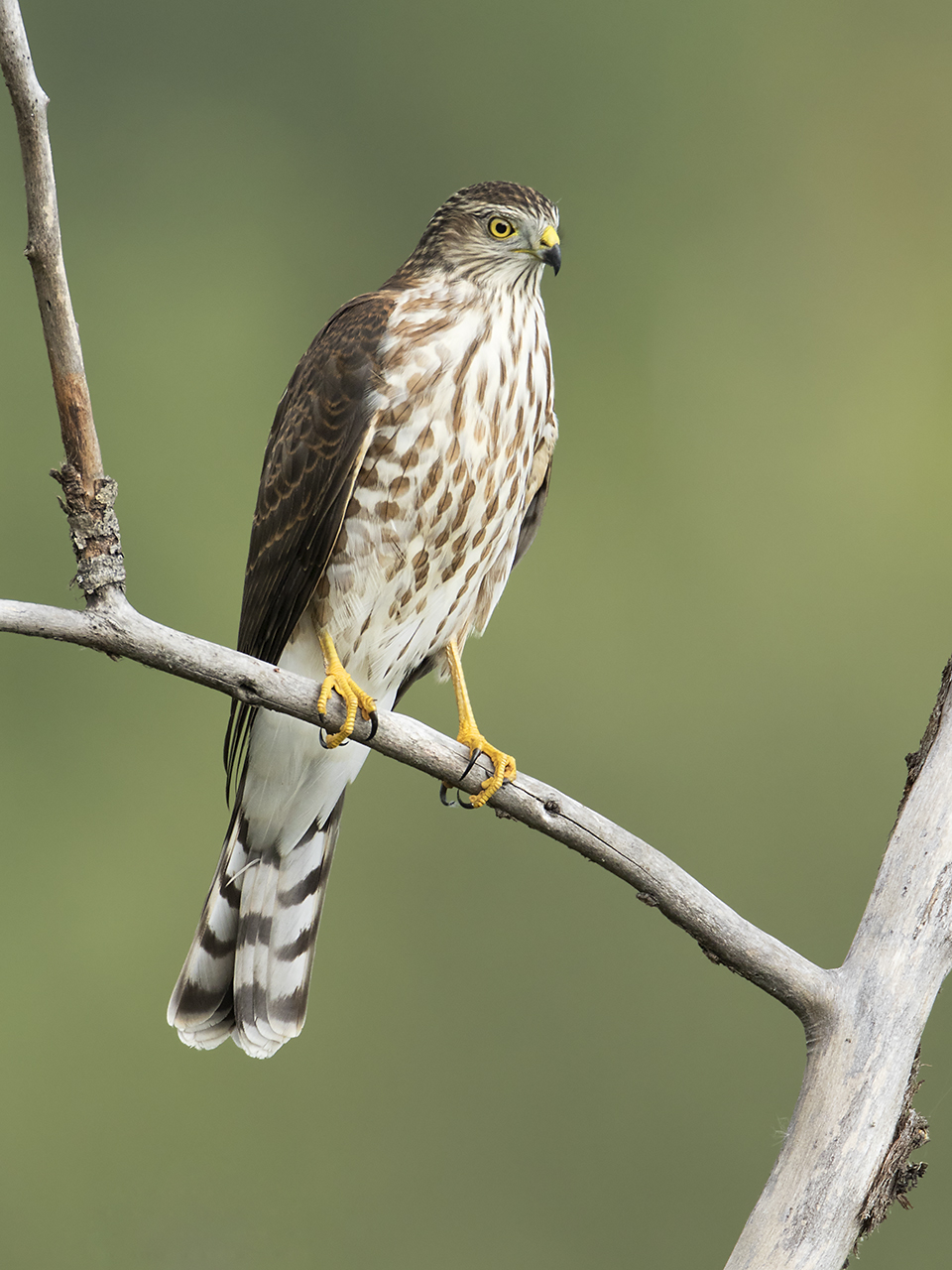
Perched Young Sharpy
Dark Clouds

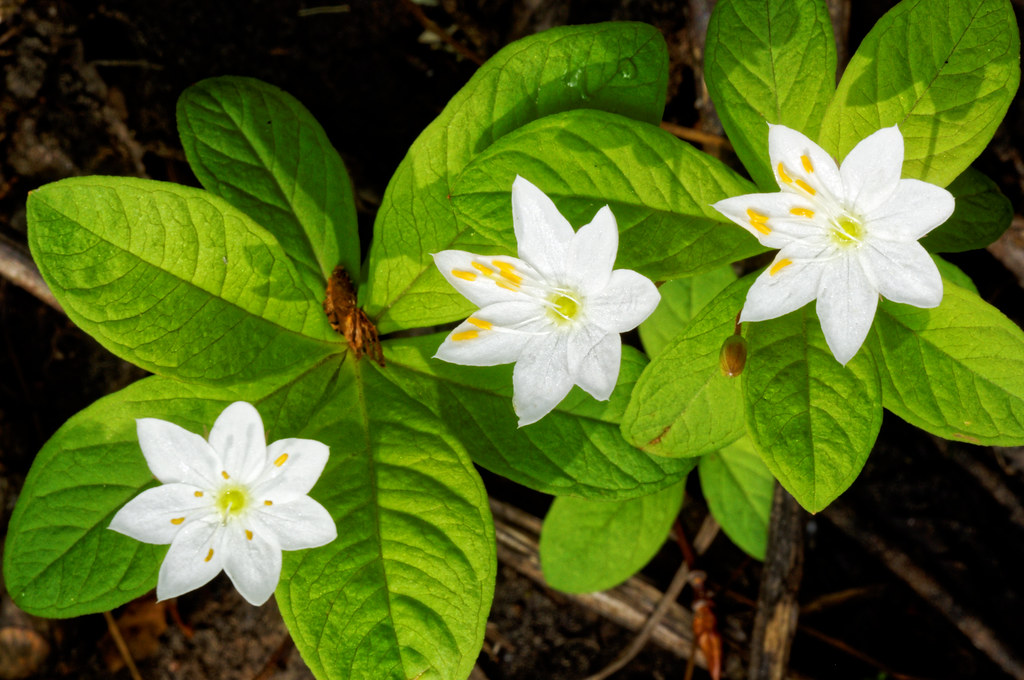
Explore the Flora at Goodsir Nature Park
Dark Clouds

Marsh Song Sparrow (Western Form)
The Thrill of the Chase

New Puppy!
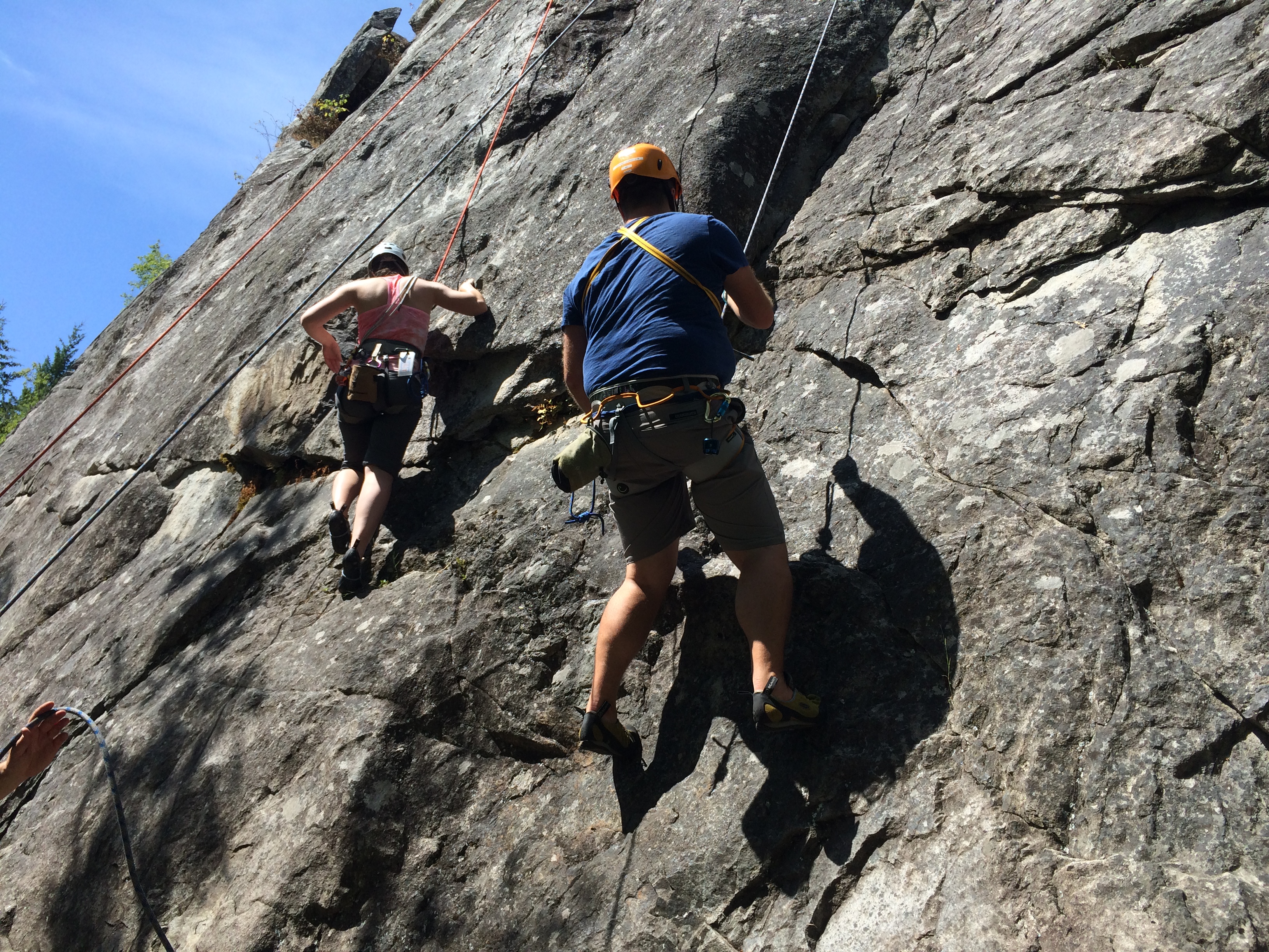
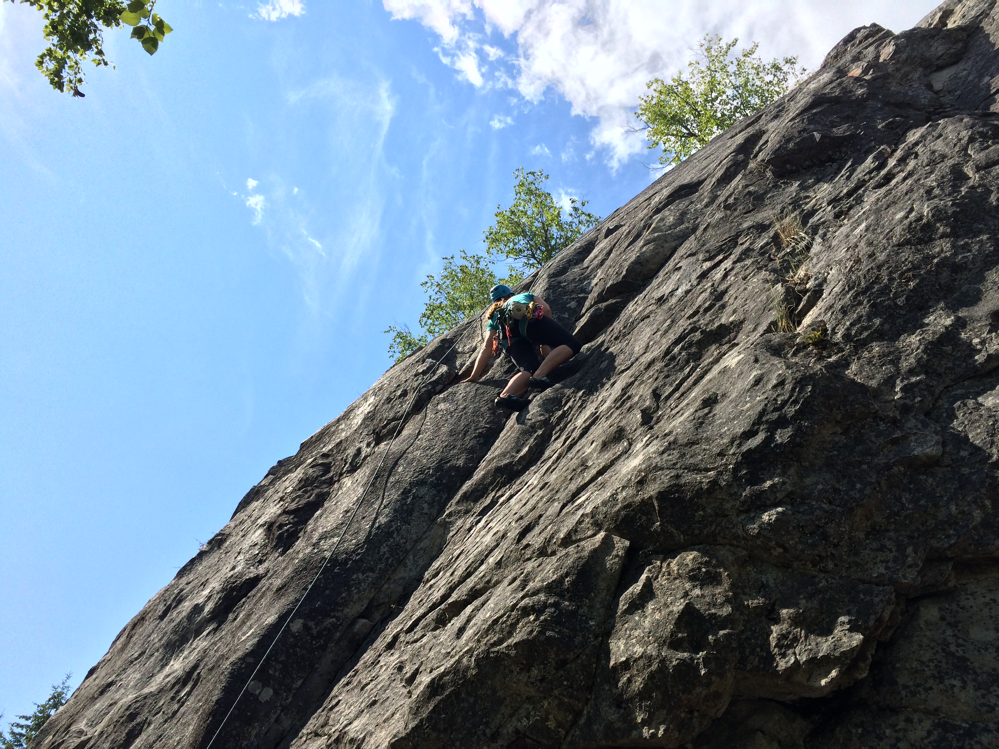
Rock Climbing
Rock Climbing
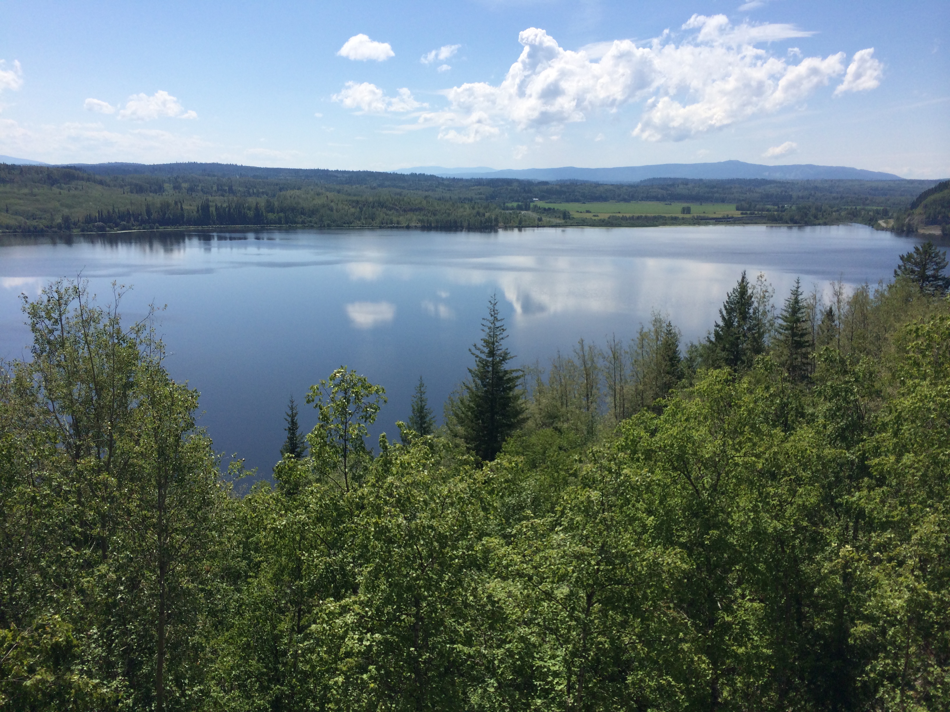
Goodsir Nature Park 01
Rock Climbing
Topographic Map of Upper Fraser Rd, Prince George, BC V2K 5C9, Canada
Find elevation by address:

Places near Upper Fraser Rd, Prince George, BC V2K 5C9, Canada:
Willow River
Upper Fraser Rd, Willow River, BC V0J 3C0, Canada
Tabor Mountain Ski Resort
1570 Geddes Rd
Tabor Lake
Giscome Rd, Prince George, BC V2N 6T7, Canada
3995 Evasko Rd
Canfor Adminstration Centre
Prince George International Airport
Summit Lake
8040 Parsnip Rd
Summit Lake
Bendixon Rd, Prince George, BC V2N 5T9, Canada
Aberdeen Glen Golf Course
8620 Columbia Rd
Ontario Street
830 Prince George Pulpmill Rd
499 George St
1233 4th Ave
Queensway
Recent Searches:
- Elevation of Corso Fratelli Cairoli, 35, Macerata MC, Italy
- Elevation of Tallevast Rd, Sarasota, FL, USA
- Elevation of 4th St E, Sonoma, CA, USA
- Elevation of Black Hollow Rd, Pennsdale, PA, USA
- Elevation of Oakland Ave, Williamsport, PA, USA
- Elevation of Pedrógão Grande, Portugal
- Elevation of Klee Dr, Martinsburg, WV, USA
- Elevation of Via Roma, Pieranica CR, Italy
- Elevation of Tavkvetili Mountain, Georgia
- Elevation of Hartfords Bluff Cir, Mt Pleasant, SC, USA