Elevation of Franklin Pike, Petersburg, WV, USA
Location: United States > West Virginia > Grant County > Milroy > Petersburg >
Longitude: -79.128003
Latitude: 38.9800769
Elevation: 294m / 965feet
Barometric Pressure: 98KPa
Elevation Map:
Satellite Map:
Related Photos:

A View of West Virginia

Harmon's Log Cabin 14, interior view

Harmon's Log Cabin Top of Rocks Trail View

South Branch Potomac River
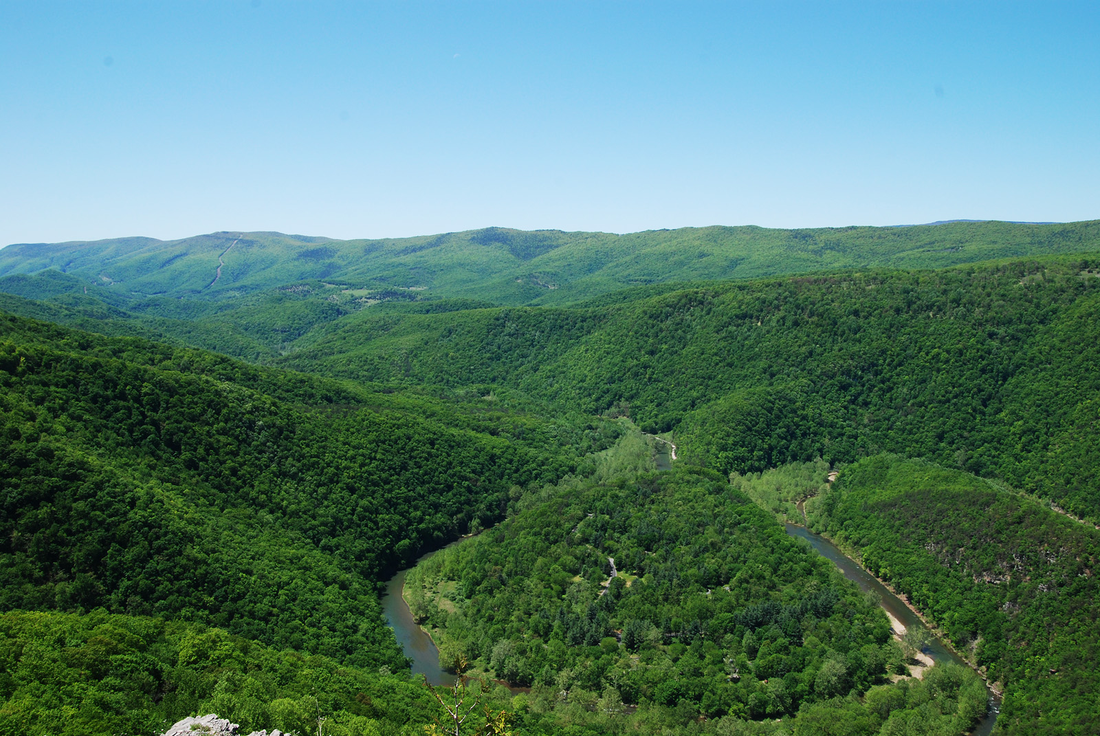
Big Bend

Fort Hill View

_MG_5851 - Canon EOS 5D Mark II - 17 mm - ¹⁄₁₆₀ sec at ƒ - 11 - ISO 640

Peak View
On the Way Up

More view

More view

_MG_5848 - Canon EOS 5D Mark II - 17 mm - ¹⁄₂₅₀ sec at ƒ - 11 - ISO 640

The view from the cabin

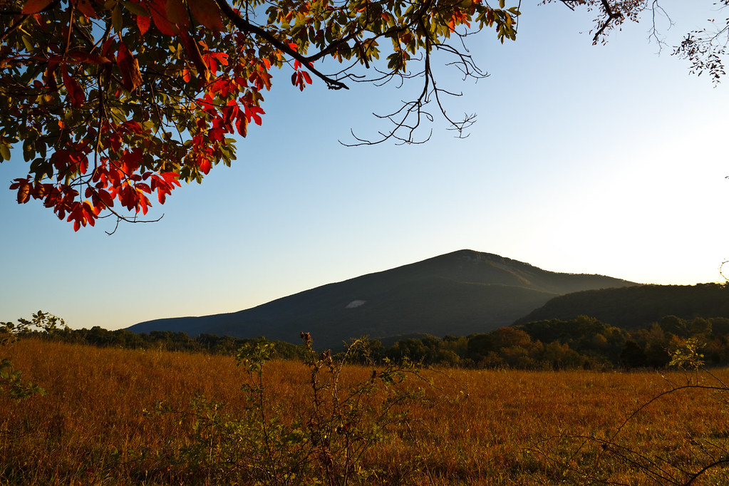
Monongahela National Forest in Pendleton County, W.Va.

Monongahela National Forest in Pendleton County, W.Va.

Monongahela National Forest in Pendleton County, W.Va.

Dolly Sods Autumn Sunrise

Appalachian Ridges, Dolly Sods West Virginia 088

Smoke Hole Caverns

Boulders and sky

Smoke Hole Caverns

Smoke Hole Caverns - World's Longest Ribbon Stalactite

Monongahela National Forest in Pendleton County, W.Va.

Monongahela National Forest in Pendleton County, W.Va.

Monongahela National Forest in Pendleton County, W.Va.

Monongahela National Forest in Pendleton County, W.Va.

Monongahela National Forest in Pendleton County, W.Va.

Monongahela National Forest in Pendleton County, W.Va.

Monongahela National Forest in Pendleton County, W.Va.

Monongahela National Forest in Pendleton County, W.Va.

Monongahela National Forest in Pendleton County, W.Va.

Monongahela National Forest in Pendleton County, W.Va.
Topographic Map of Franklin Pike, Petersburg, WV, USA
Find elevation by address:

Places near Franklin Pike, Petersburg, WV, USA:
Petersburg
Bogart Drive
S Mill Creek Rd, Petersburg, WV, USA
Dorcas
4400 S Mill Creek Rd
Milroy
Sherman Ridge Road
53 Bantry Way
Cabins
1036 Tearcoat Rd
Cabins, WV, USA
River Road
Grant County
4377 Us Hwy 220
Moorefield, WV, USA
South Fork
South Fork
Panther Road
Maysville
12 Prowler Dr
Recent Searches:
- Elevation of Corso Fratelli Cairoli, 35, Macerata MC, Italy
- Elevation of Tallevast Rd, Sarasota, FL, USA
- Elevation of 4th St E, Sonoma, CA, USA
- Elevation of Black Hollow Rd, Pennsdale, PA, USA
- Elevation of Oakland Ave, Williamsport, PA, USA
- Elevation of Pedrógão Grande, Portugal
- Elevation of Klee Dr, Martinsburg, WV, USA
- Elevation of Via Roma, Pieranica CR, Italy
- Elevation of Tavkvetili Mountain, Georgia
- Elevation of Hartfords Bluff Cir, Mt Pleasant, SC, USA