Elevation of Francis Ave, Seaside, CA, USA
Location: United States > California > Monterey County > Seaside >
Longitude: -121.85176
Latitude: 36.601725
Elevation: 16m / 52feet
Barometric Pressure: 101KPa
Elevation Map:
Satellite Map:
Related Photos:
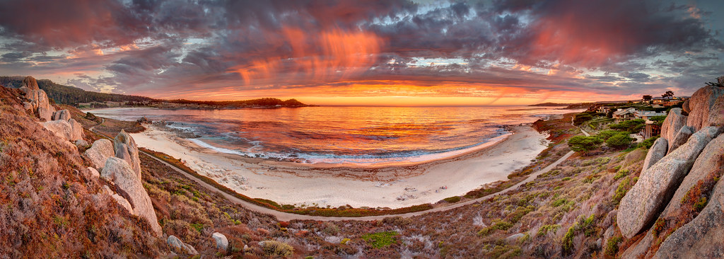
Dramatic Ribera Beach Sunset - Carmel, CA
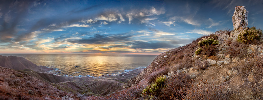
View from Doud Peak in Garrapata State Park - Big Sur, CA
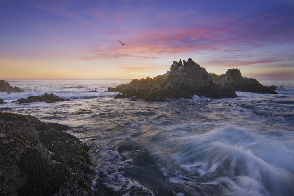
View of Bird Rock - Point Lobos - Carmel, CA

Pebble Beach at Night
Pinnacle Rock #3 - Point Lobos, California

Sea Burst House - Carmel, CA
Illuminated Tree Asilomar Beach - Pebble Beach, CA

Gravity At Work, Sunset - Asilomar Beach, Pebble Beach, CA

Enticing views
Point Pinos Tsunami Gloom: Pacific Grove, California

Don't play with your food!

Angry Bird
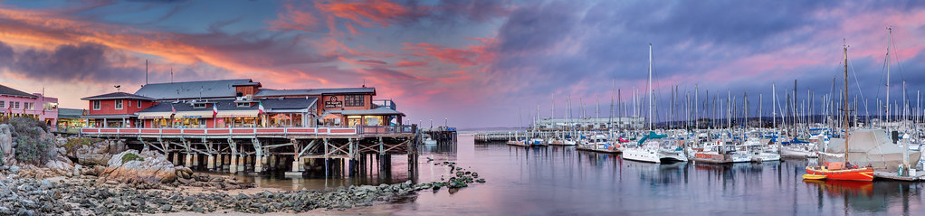
Fisherman's Wharf and Marina - Monterey, CA

Rainbow at Lovers Point - Pacific Grove California

Pink and Blue Sunset on Monterey Bay - Monterey, CA
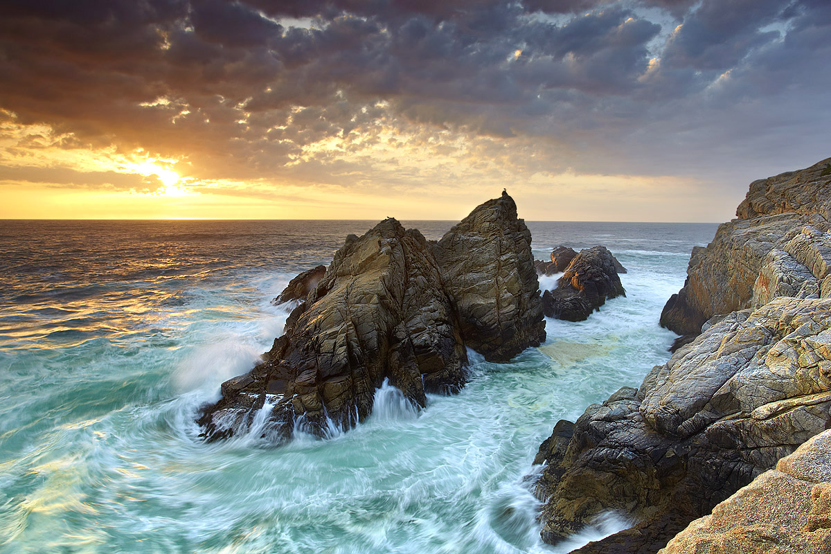
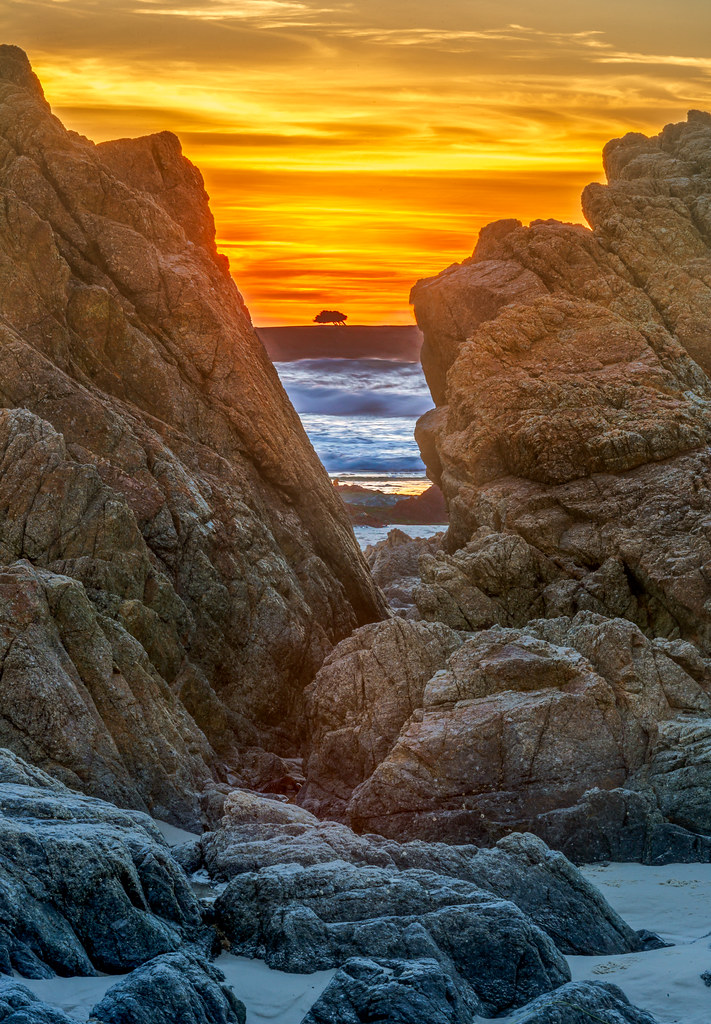
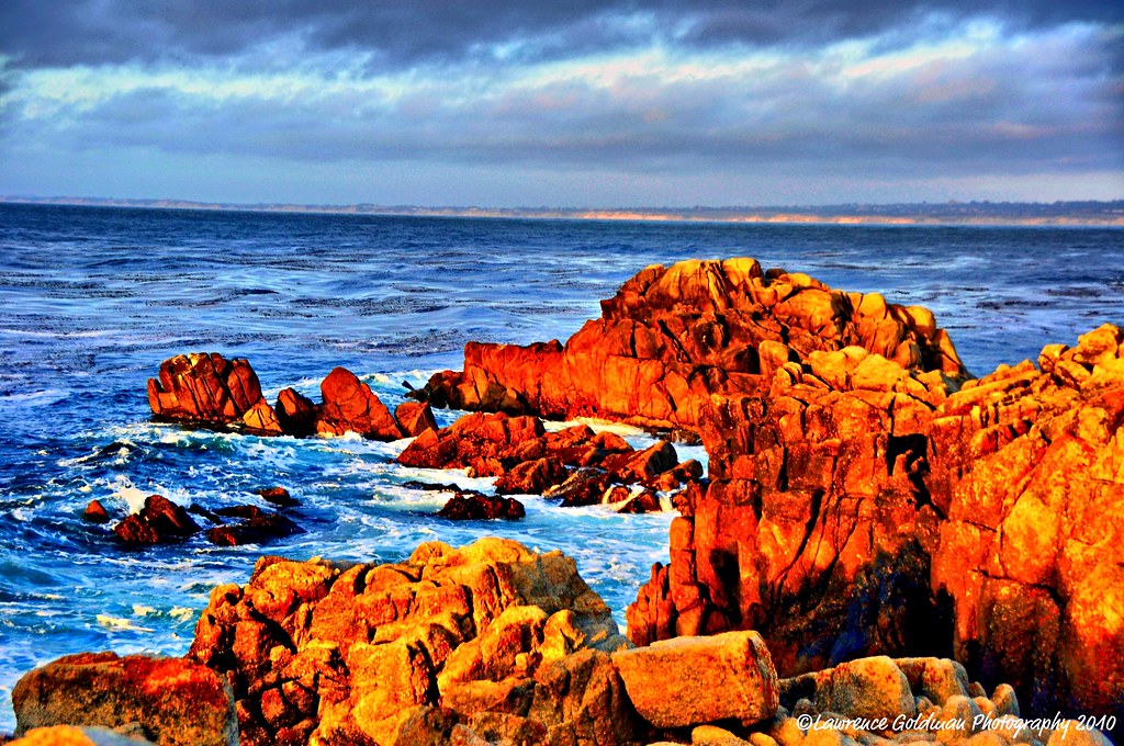
Point Lobos Fiery Light - Carmel, CA

People Will Say We're in Love
View of Bird Rock - Point Lobos - Carmel, CA
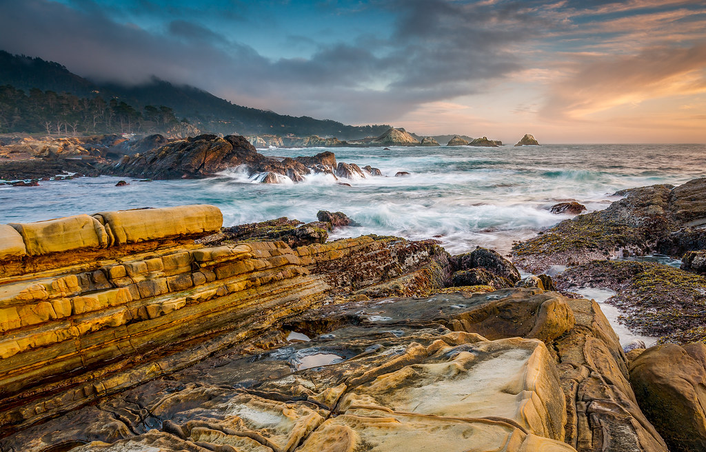
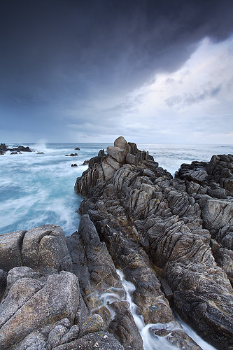
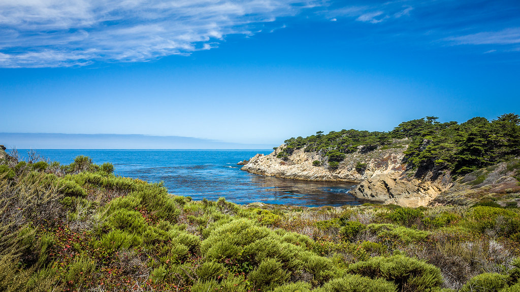
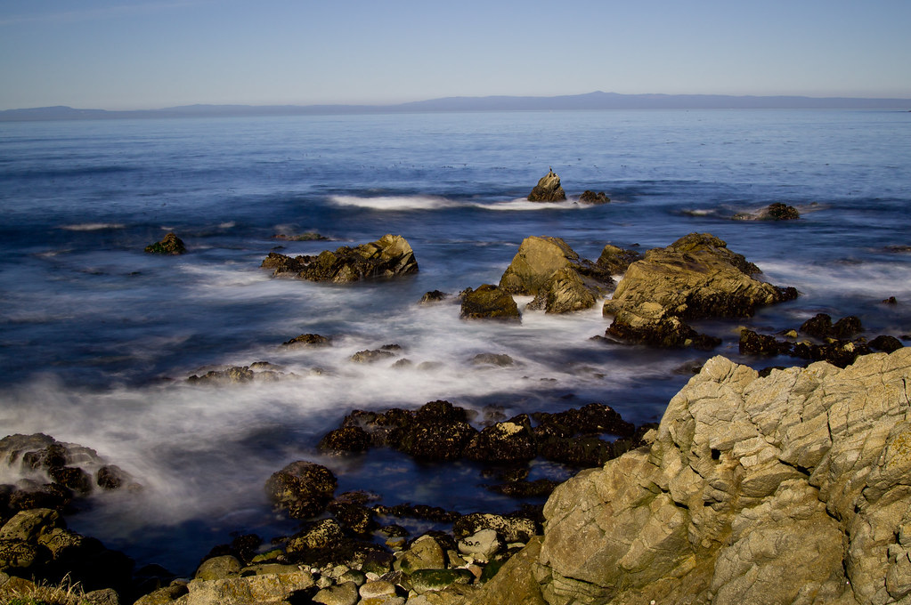
Rocky Coastline Monterey Peninsula, California

Fog at Ribera Beach - Carmel, CA
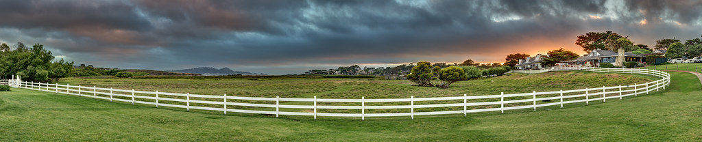
Mission Ranch Resort, Carmel CA

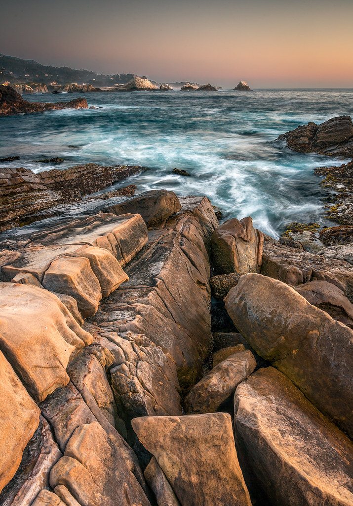
Carmel Torrent - Carmel, CA
Rock, Sea and Clouds at Point Lobos State Reserve - Carmel, CA
Pacific Grove Sunset
Lone Cypress Sea and Sky
Fort Ord National Monument - Monterey, CA
Point Lobos - Pinnacle Rock #1

There Are Days
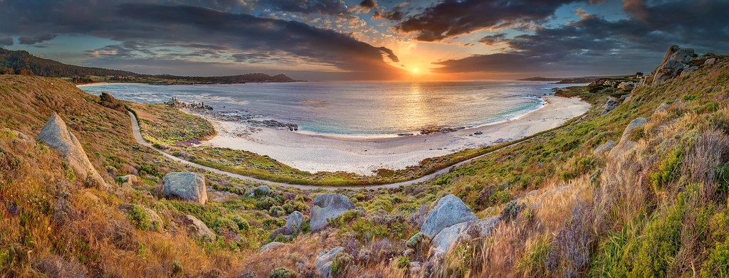
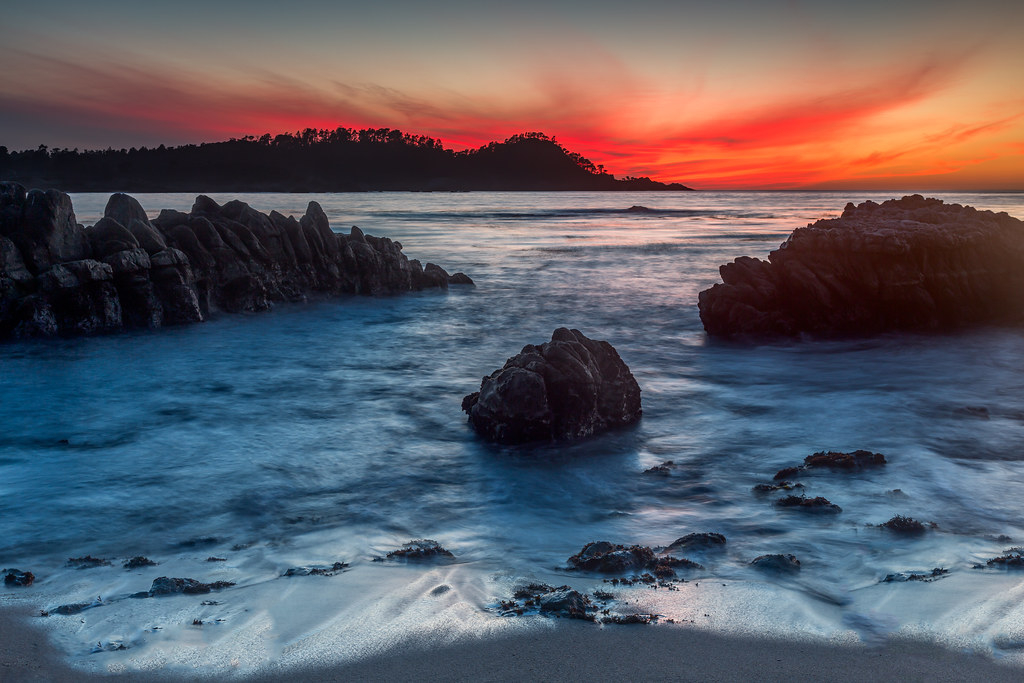
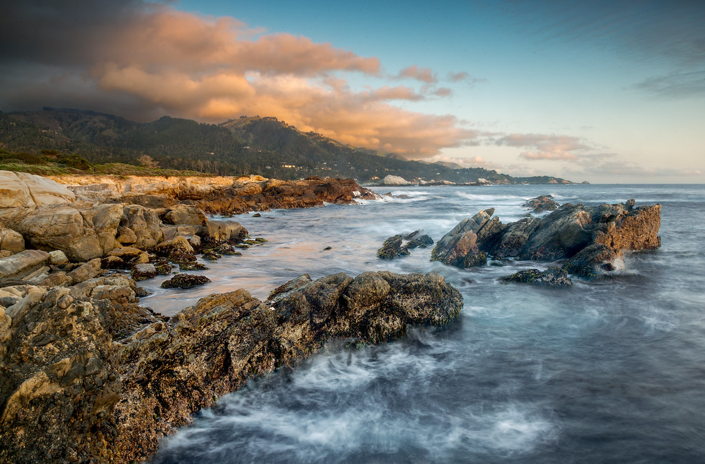
Ribera Beach Sunset - Carmel, CA
Nice day

Gravity At Work Again, Asilomar Beach - Pebble Beach, CA
Reach Higher

Granite and Gravel
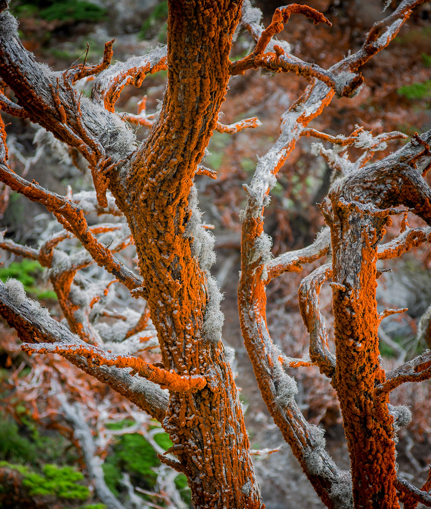
Trentepohlia on Cypress Trees at Point Lobos State Reserve - Carmel, CA

Carmel Valley
Point Joe
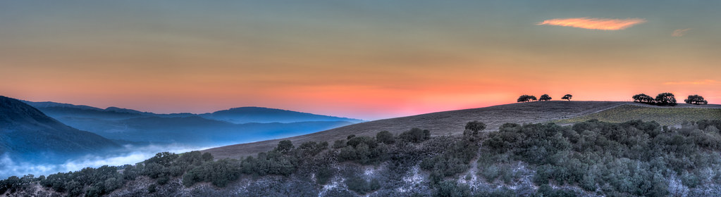
Sunset Carmel Valley - Carmel Valley, CA
Topographic Map of Francis Ave, Seaside, CA, USA
Find elevation by address:

Places near Francis Ave, Seaside, CA, USA:
1144 Fremont Blvd
500 Fremont Blvd
901 Toro Ct
The Home Depot
451 Dela Vina Ave
Del Monte Blvd, Sand City, CA, USA
Monterey Tides
1210 Hamilton Ave
2066 N Fremont St
125 Surf Way
Sand City
Del Monte Ave, Monterey, CA, USA
22 Spray Ave
Target
1193 Barbara Ct
1156 Josselyn Canyon Rd
1712 Luzern St
1294 Circle Ave
2070 Marsala Cir
2064 Marsala Cir
Recent Searches:
- Elevation of Corso Fratelli Cairoli, 35, Macerata MC, Italy
- Elevation of Tallevast Rd, Sarasota, FL, USA
- Elevation of 4th St E, Sonoma, CA, USA
- Elevation of Black Hollow Rd, Pennsdale, PA, USA
- Elevation of Oakland Ave, Williamsport, PA, USA
- Elevation of Pedrógão Grande, Portugal
- Elevation of Klee Dr, Martinsburg, WV, USA
- Elevation of Via Roma, Pieranica CR, Italy
- Elevation of Tavkvetili Mountain, Georgia
- Elevation of Hartfords Bluff Cir, Mt Pleasant, SC, USA