Elevation of Foxwood Dr, Yucaipa, CA, USA
Location: United States > California > San Bernardino County > Yucaipa >
Longitude: -117.04692
Latitude: 34.019123
Elevation: 767m / 2516feet
Barometric Pressure: 92KPa
Elevation Map:
Satellite Map:
Related Photos:

Day 347/365: I know I'm going where the sun always shines (explored #328 on June 8, 2009)

Winter Pond, Oak Glen, CA 1-19-13

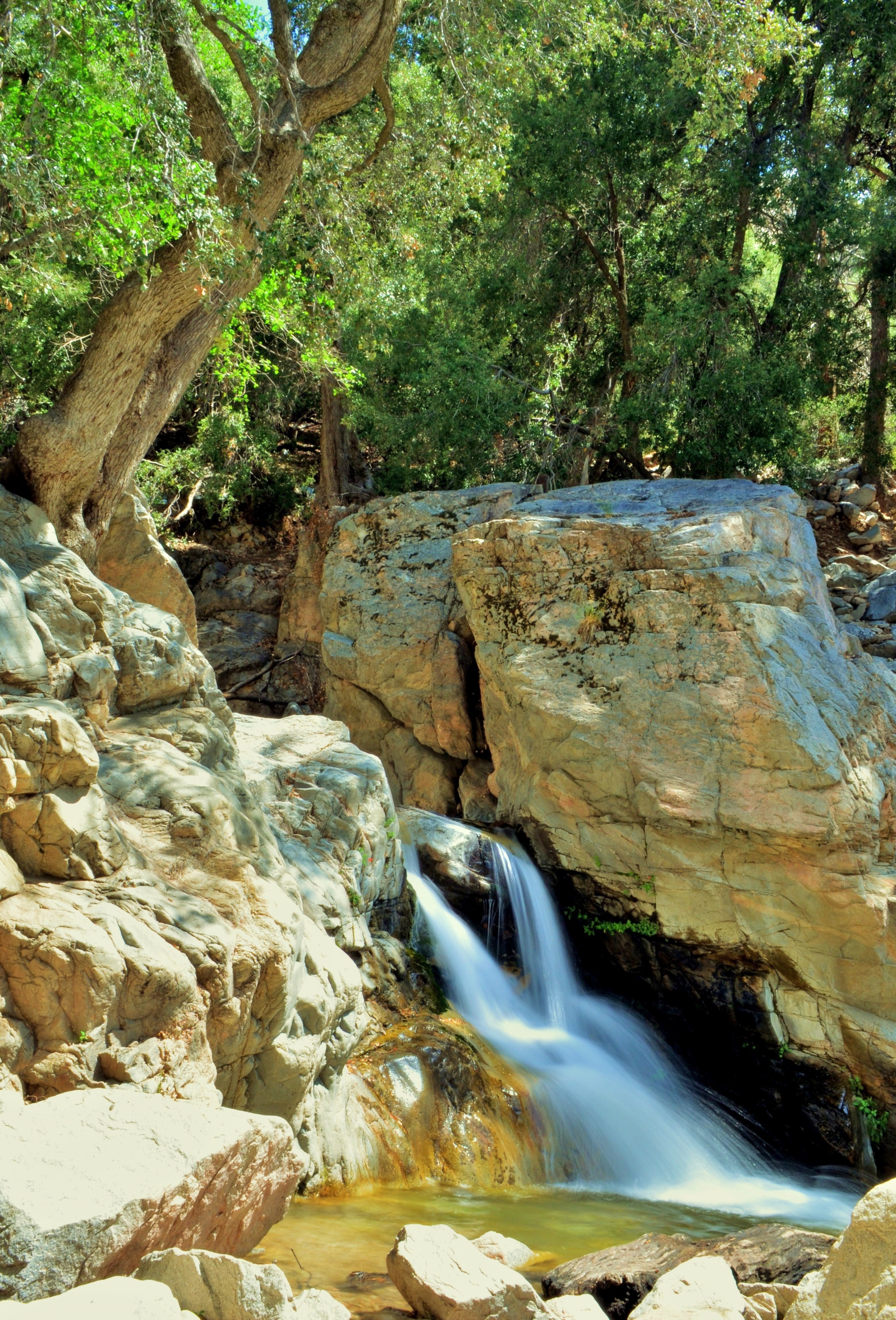
Big Falls Creek Long Exposure

Living Large, Canyon View, Redlands 5-19-13

Daylillies (2) 7-7-12
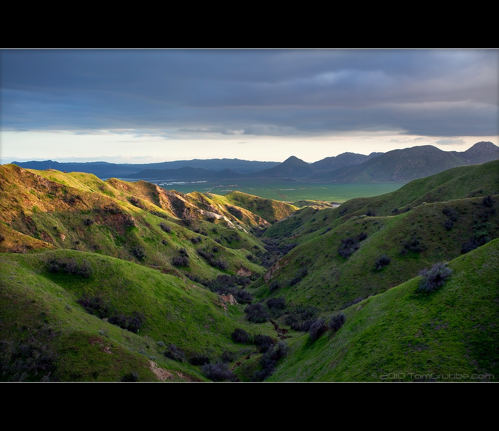
Valley View II

Sunset Over Redlands Bowl 6-26-13
1 of (7) LOWER Falls- Valley of Falls, Mill Creek Canyon, San Bernadino Mountains
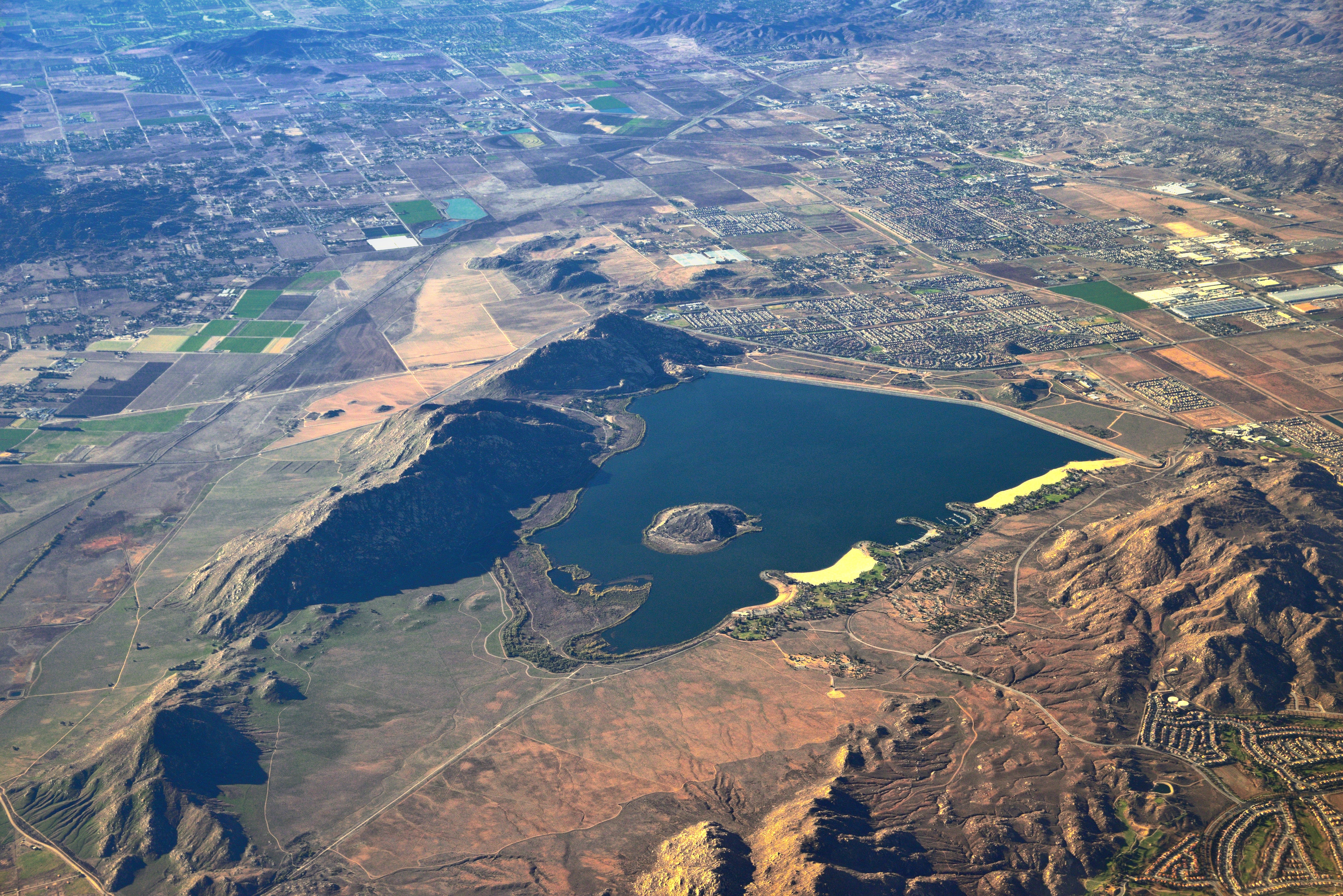
Lake Perris, Surrounded by Hills and Mountains
Big Falls Cascading Creek

The Storms of Late Summer

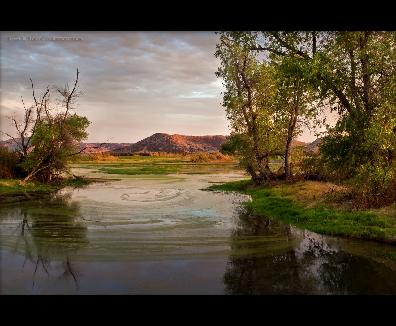
Sunset Valley I

View from Buff Rd LE

Big Falls Stream - Forest Falls, CA, USA

Valley View

ATK 714E @ El Casco

Not Too Shabby

sunny rear view

Bogart Park_0068

"Fall has always been my favorite season

Live Oak Farms, Wagon 12-9-12

UP 7492

UP 7939
September Pond

Feelings of Aqua

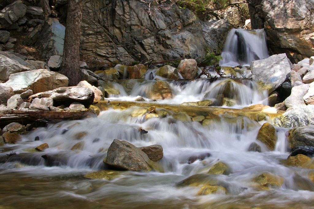
Mill Creek and Storm III

Morey Mansion of Redlands

Social Gathering, Ford Park, Redlands, CA 8-12

Mill Creek Storm Sunset
Mt. Baldy from Panorama Pt 3-9-14f
Standing Guard

Hills from Jack Rabbit Trail

Summer Splendor
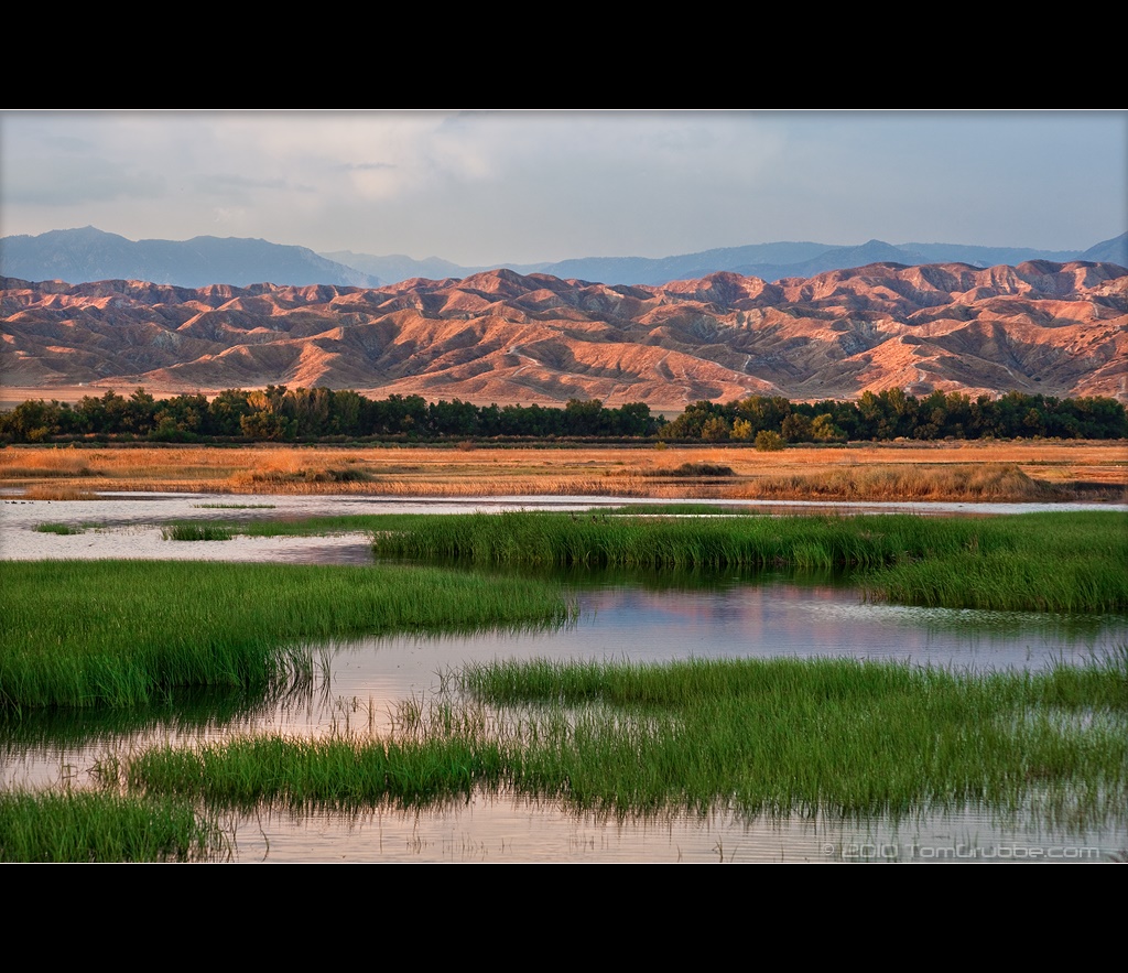
Grass and Badlands

Fire under a Full Moon II

Twilight Rocks and Stream

Yucaipa/Mentone Fire
Topographic Map of Foxwood Dr, Yucaipa, CA, USA
Find elevation by address:

Places near Foxwood Dr, Yucaipa, CA, USA:
12821 4th St
12700 2nd St
12700 2nd St
12955 4th St
34420 Fairview Dr
12866 California St
12650 California St
12406 3rd St
13063 5th St
12367 4th St
12539 California St
35280 Wildwood Canyon Rd
13043 Orchid St
Pecan Avenue
12700 Bryant St
12777 Bryant St
34111 Wildwood Canyon Rd
Yucaipa
12626 6th St
34069 Avenue E
Recent Searches:
- Elevation of Corso Fratelli Cairoli, 35, Macerata MC, Italy
- Elevation of Tallevast Rd, Sarasota, FL, USA
- Elevation of 4th St E, Sonoma, CA, USA
- Elevation of Black Hollow Rd, Pennsdale, PA, USA
- Elevation of Oakland Ave, Williamsport, PA, USA
- Elevation of Pedrógão Grande, Portugal
- Elevation of Klee Dr, Martinsburg, WV, USA
- Elevation of Via Roma, Pieranica CR, Italy
- Elevation of Tavkvetili Mountain, Georgia
- Elevation of Hartfords Bluff Cir, Mt Pleasant, SC, USA