Elevation of Fort Fairfield, ME, USA
Location: United States > Maine > Aroostook County >
Longitude: -67.833900
Latitude: 46.7722294
Elevation: 120m / 394feet
Barometric Pressure: 100KPa
Elevation Map:
Satellite Map:
Related Photos:

Perth Andover, New Brunswick
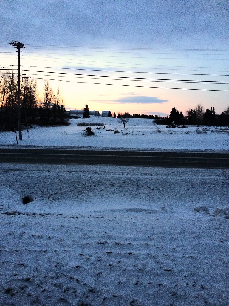
My early morning view

Picture 37
Second Snowfall

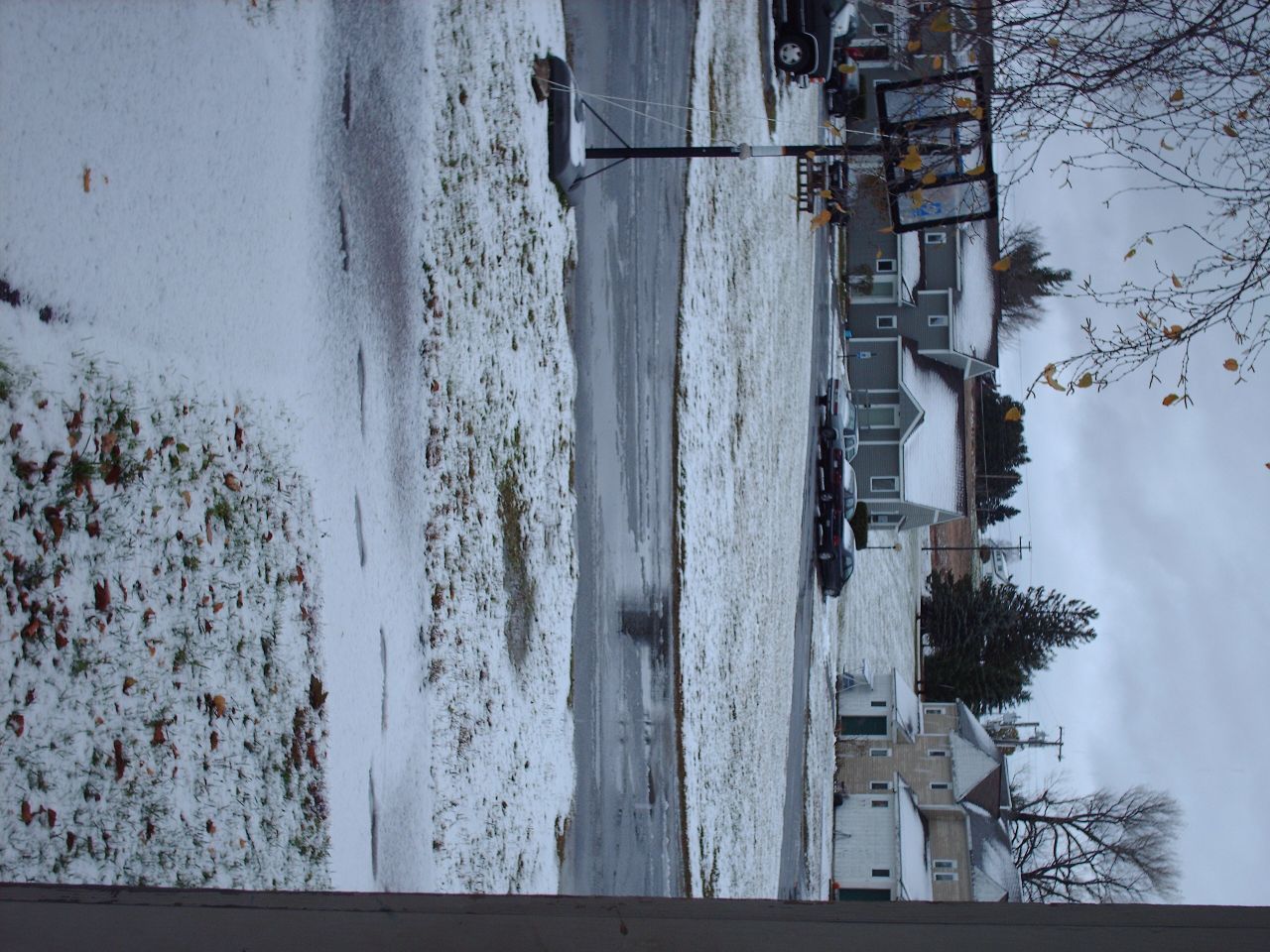
Snow in the backyard

View, Maine, on the way to "It"
July 21, 2013

Christiana Reservoir Outlet
July 18, 2013

The Greatest Love Affair
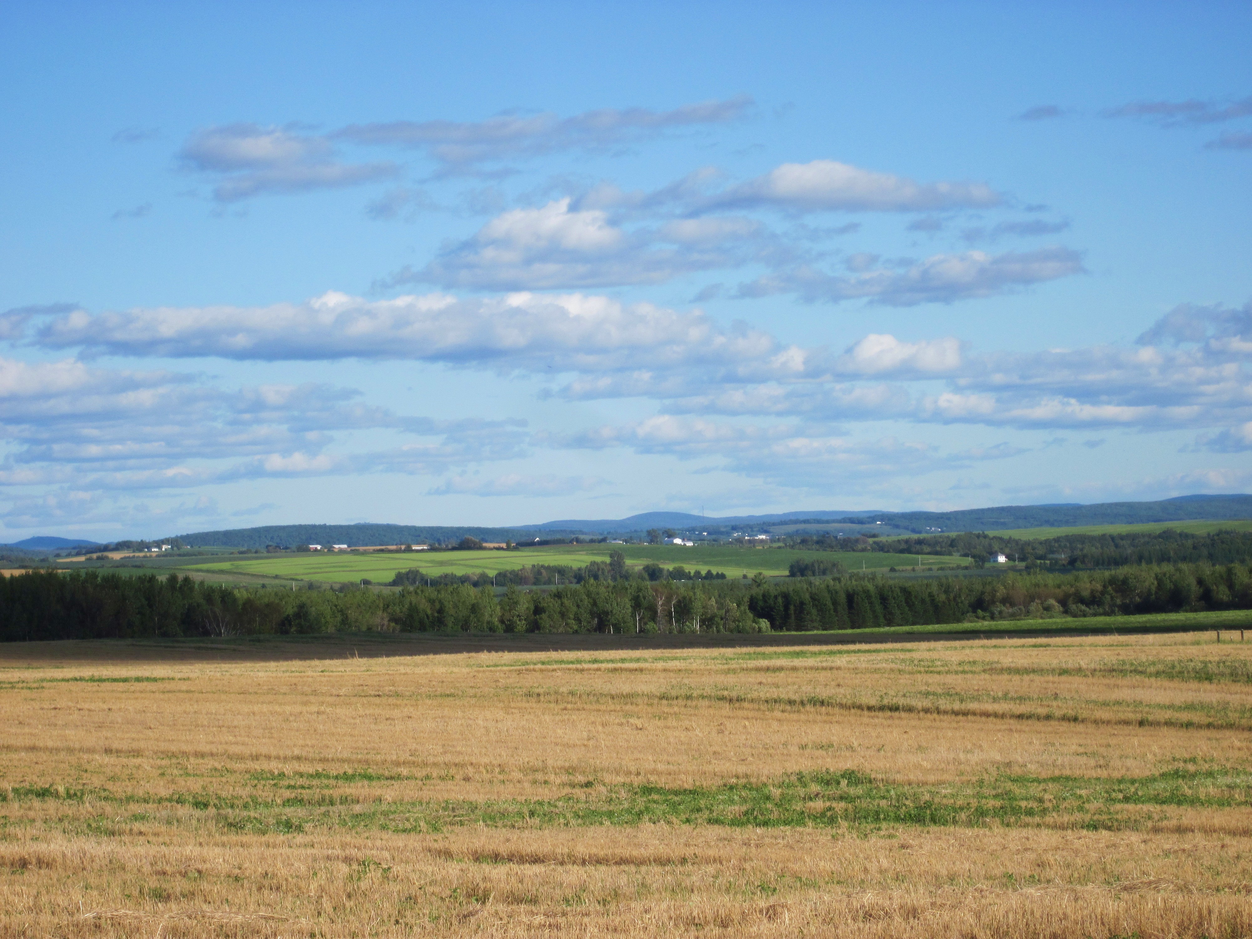
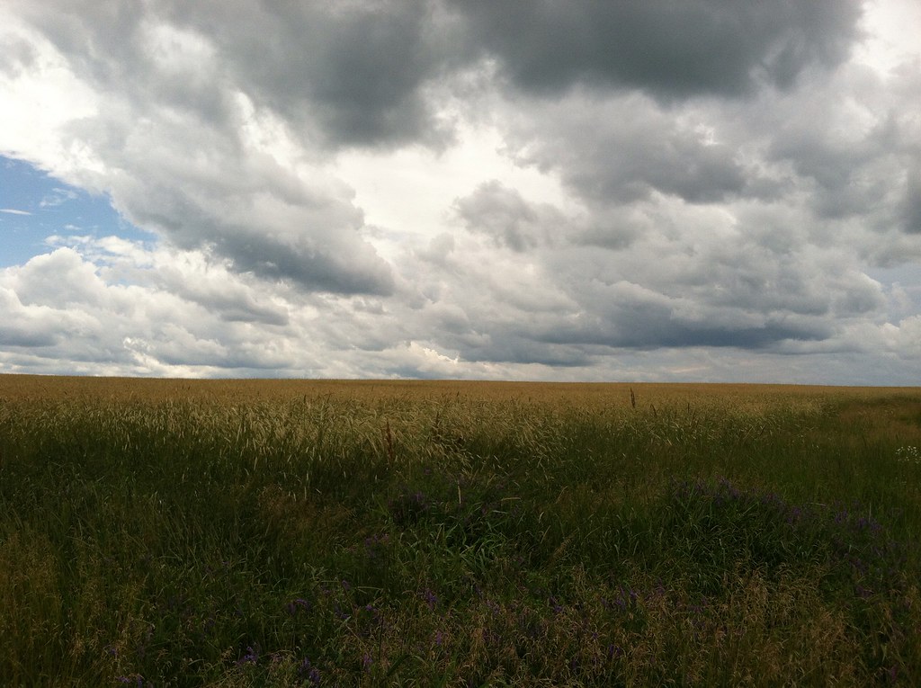
Aroostook County: Rolling Fields

Amish strawmen: Easton Center, ME

Sunrise 1

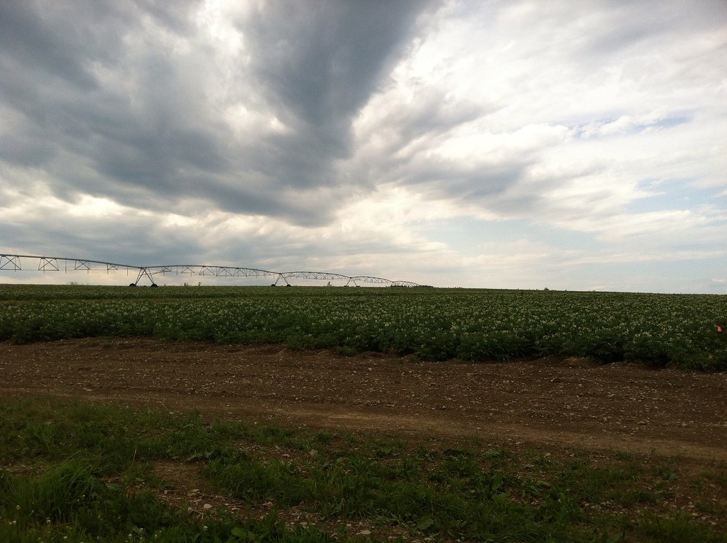
Fields of Gold
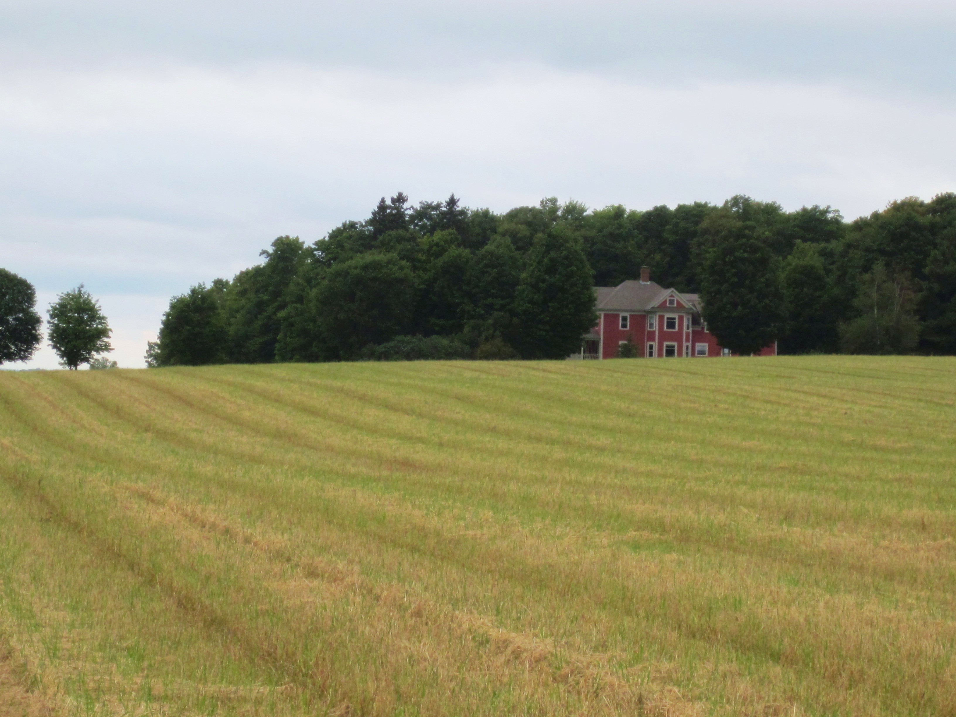
Aroostook County: Red House
Topographic Map of Fort Fairfield, ME, USA
Find elevation by address:

Places in Fort Fairfield, ME, USA:
S Caribou Rd, Fort Fairfield, ME, USA
Strickland Rd, Fort Fairfield, ME, USA
S Caribou Rd, Fort Fairfield, ME, USA
Fort Fairfield, ME, USA
Fort Fairfield
Places near Fort Fairfield, ME, USA:
Fort Fairfield
29 Fort Hill St
Fort Fairfield, ME, USA
E7h 5b9
S Caribou Rd, Fort Fairfield, ME, USA
S Caribou Rd, Fort Fairfield, ME, USA
Carlingford
Strickland Rd, Fort Fairfield, ME, USA
305 Fuller Rd
Andover
33 Main Siding Rd, Caribou, ME, USA
450 Fort Fairfield Rd
Valley View Motel
Houlton Rd, Easton, ME, USA
Limestone
Perth-andover
Reach Road
145 Mahany Rd
Easton
Presque Isle, ME, USA
Recent Searches:
- Elevation of Corso Fratelli Cairoli, 35, Macerata MC, Italy
- Elevation of Tallevast Rd, Sarasota, FL, USA
- Elevation of 4th St E, Sonoma, CA, USA
- Elevation of Black Hollow Rd, Pennsdale, PA, USA
- Elevation of Oakland Ave, Williamsport, PA, USA
- Elevation of Pedrógão Grande, Portugal
- Elevation of Klee Dr, Martinsburg, WV, USA
- Elevation of Via Roma, Pieranica CR, Italy
- Elevation of Tavkvetili Mountain, Georgia
- Elevation of Hartfords Bluff Cir, Mt Pleasant, SC, USA