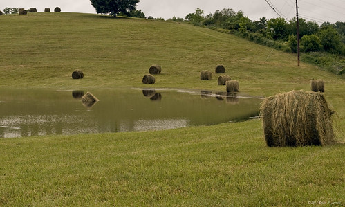
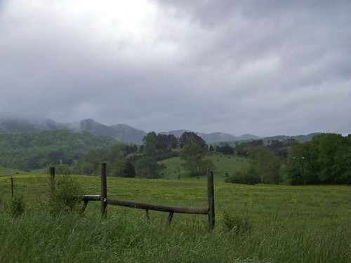
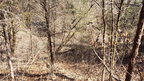
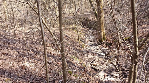
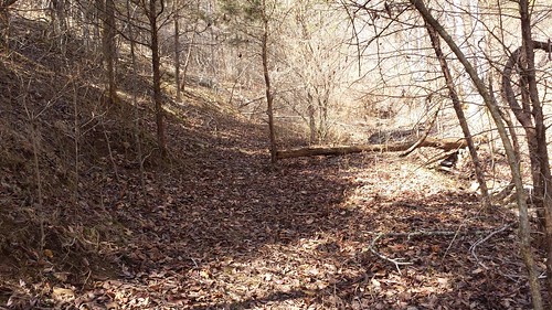
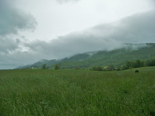
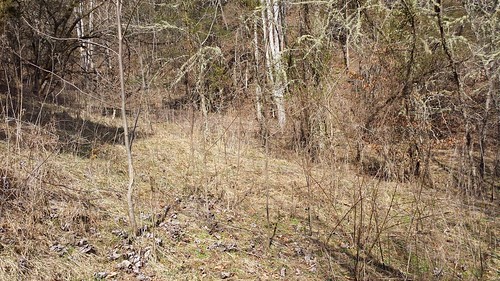
Elevation of Fords Chapel Rd, New Tazewell, TN, USA
Location: United States > Tennessee > Claiborne County >
Longitude: -83.681745
Latitude: 36.396962
Elevation: 353m / 1158feet
Barometric Pressure: 97KPa
Related Photos:
Topographic Map of Fords Chapel Rd, New Tazewell, TN, USA
Find elevation by address:

Places near Fords Chapel Rd, New Tazewell, TN, USA:
965 Barren Creek Rd
Carr Ridge Rd, New Tazewell, TN, USA
108 Cox Rd
1703 Leatherwood Hollow Rd
Weaver Ridge Road
131 Summit Dr
Yoakum Ln, Speedwell, TN, USA
343 Bug Hole Rd
164 Old Leadmine Bend Rd
550 Arthur Rd
1199 White Oak Ridge Rd
295 Meadowlark Ln
450 Sleepy Hollow Road
Old Highway 63
185 Dunn Hill Ln
1060 Old Hwy 63
1060 Old Hwy 63
1060 Old Hwy 63
1060 Old Hwy 63
Blue Spring Rd, Speedwell, TN, USA
Recent Searches:
- Elevation of Corso Fratelli Cairoli, 35, Macerata MC, Italy
- Elevation of Tallevast Rd, Sarasota, FL, USA
- Elevation of 4th St E, Sonoma, CA, USA
- Elevation of Black Hollow Rd, Pennsdale, PA, USA
- Elevation of Oakland Ave, Williamsport, PA, USA
- Elevation of Pedrógão Grande, Portugal
- Elevation of Klee Dr, Martinsburg, WV, USA
- Elevation of Via Roma, Pieranica CR, Italy
- Elevation of Tavkvetili Mountain, Georgia
- Elevation of Hartfords Bluff Cir, Mt Pleasant, SC, USA


