Elevation of Bug Hole Rd, Cumberland Gap, TN, USA
Location: United States > Tennessee > Claiborne County > Cumberland Gap >
Longitude: -83.690335
Latitude: 36.541236
Elevation: 382m / 1253feet
Barometric Pressure: 97KPa
Elevation Map:
Satellite Map:
Related Photos:
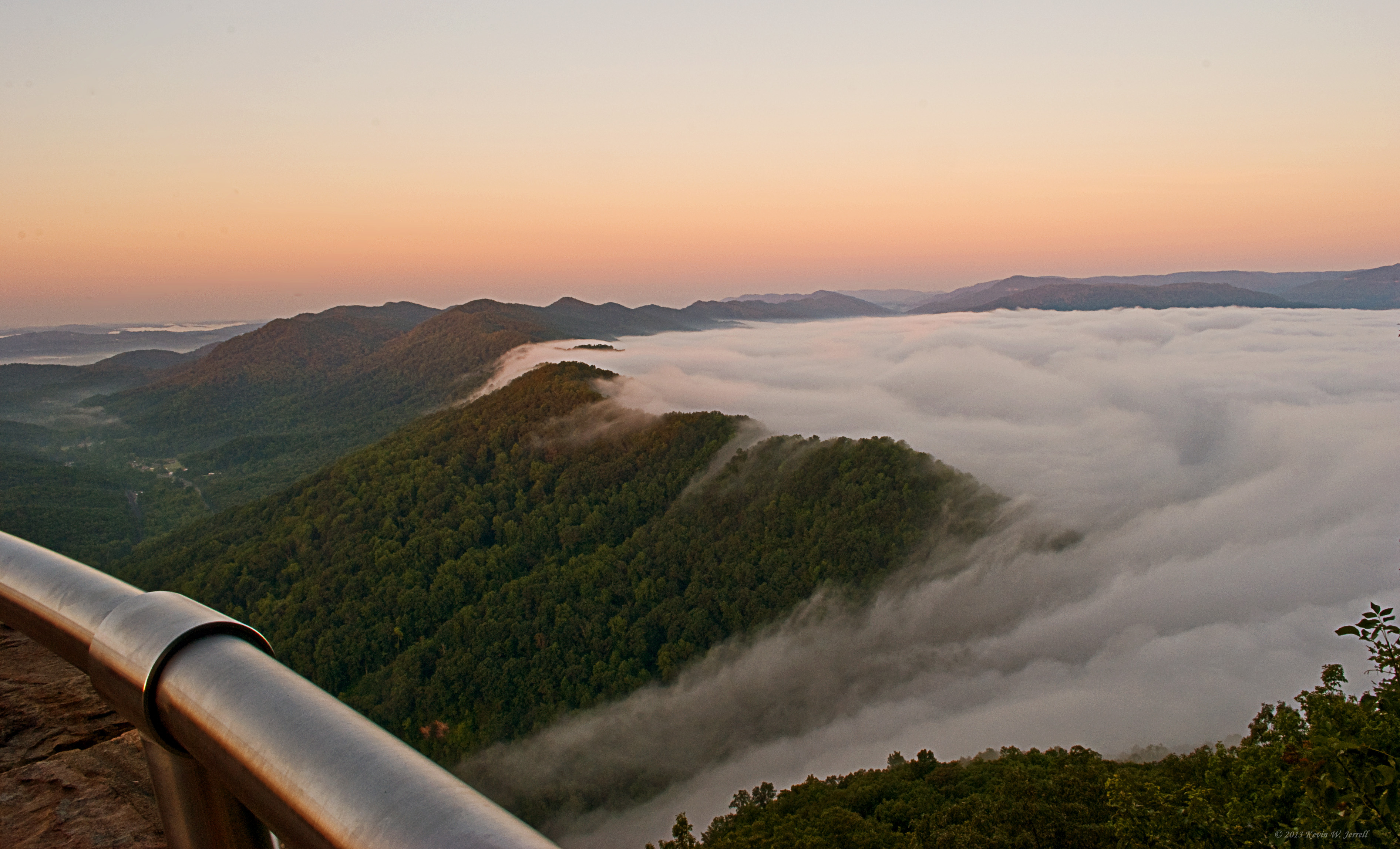
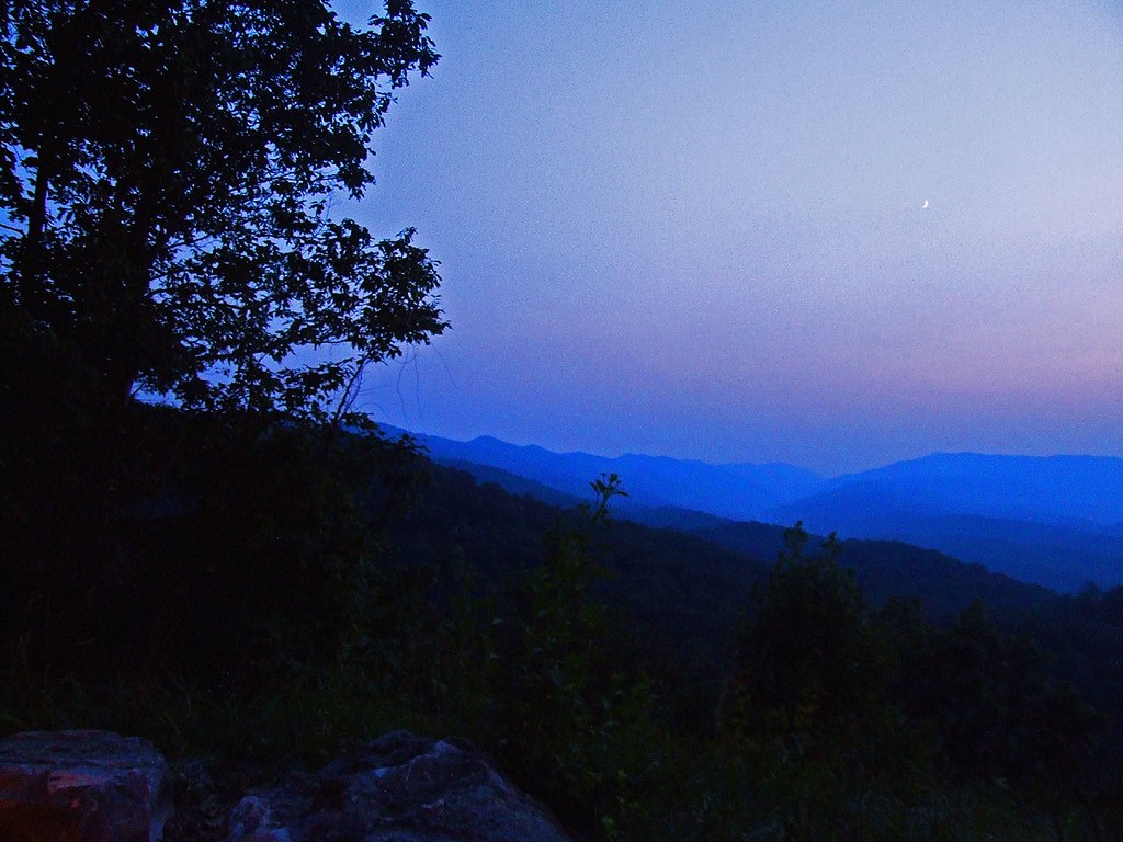
Bowl Full of Fog
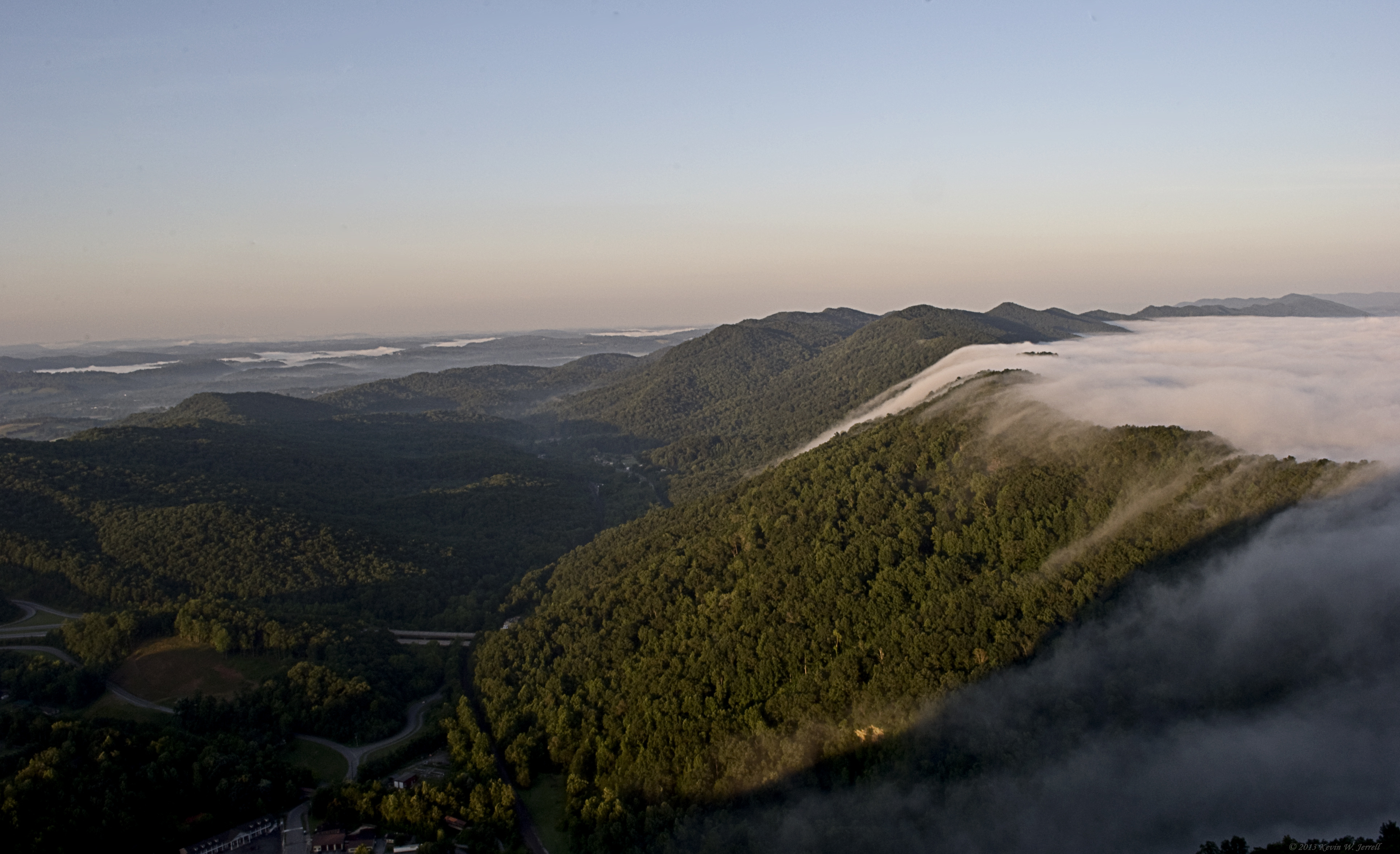
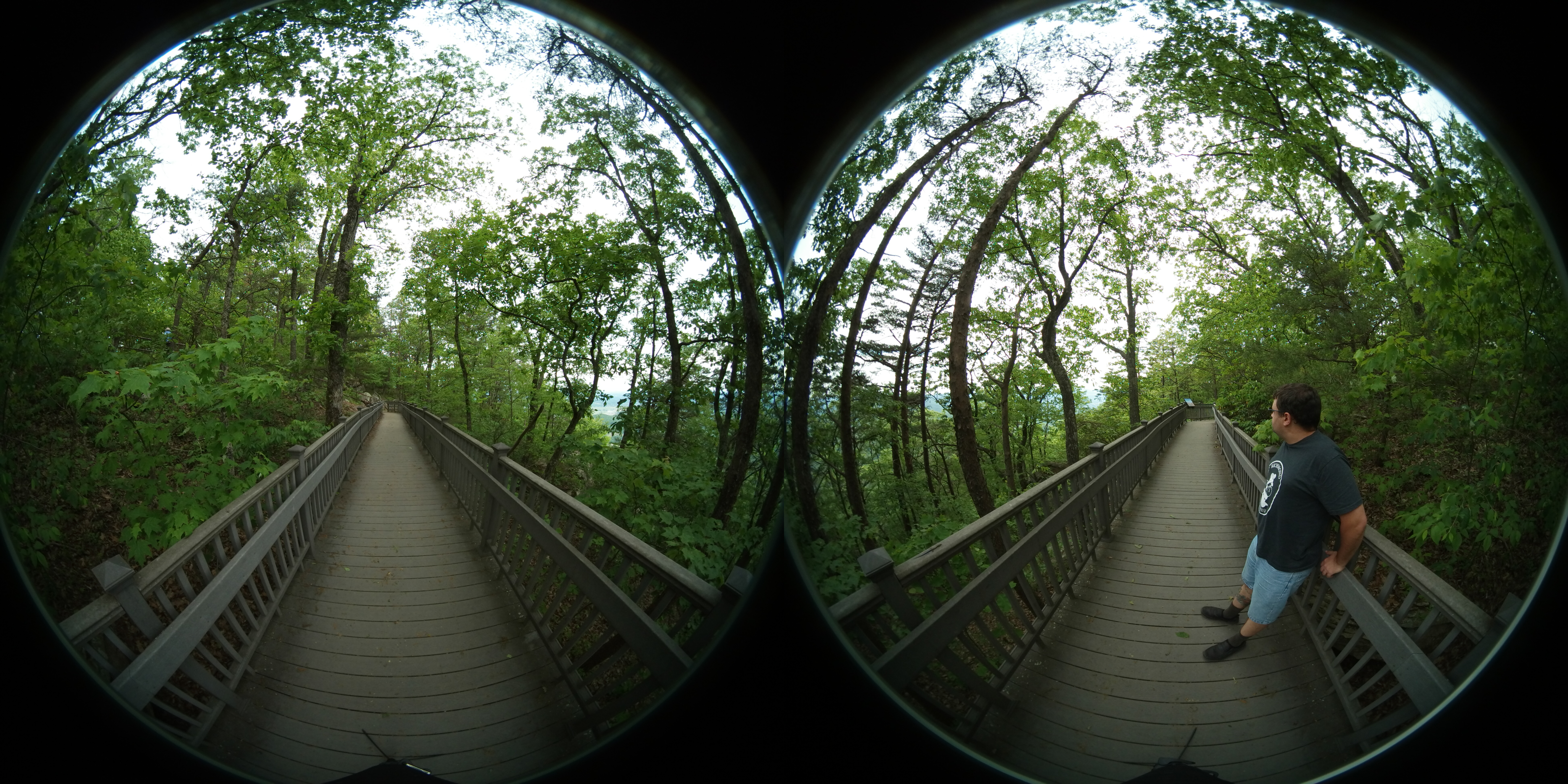
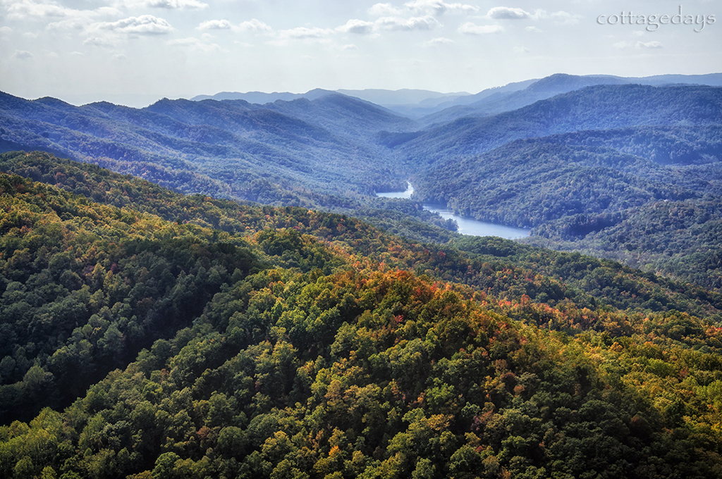
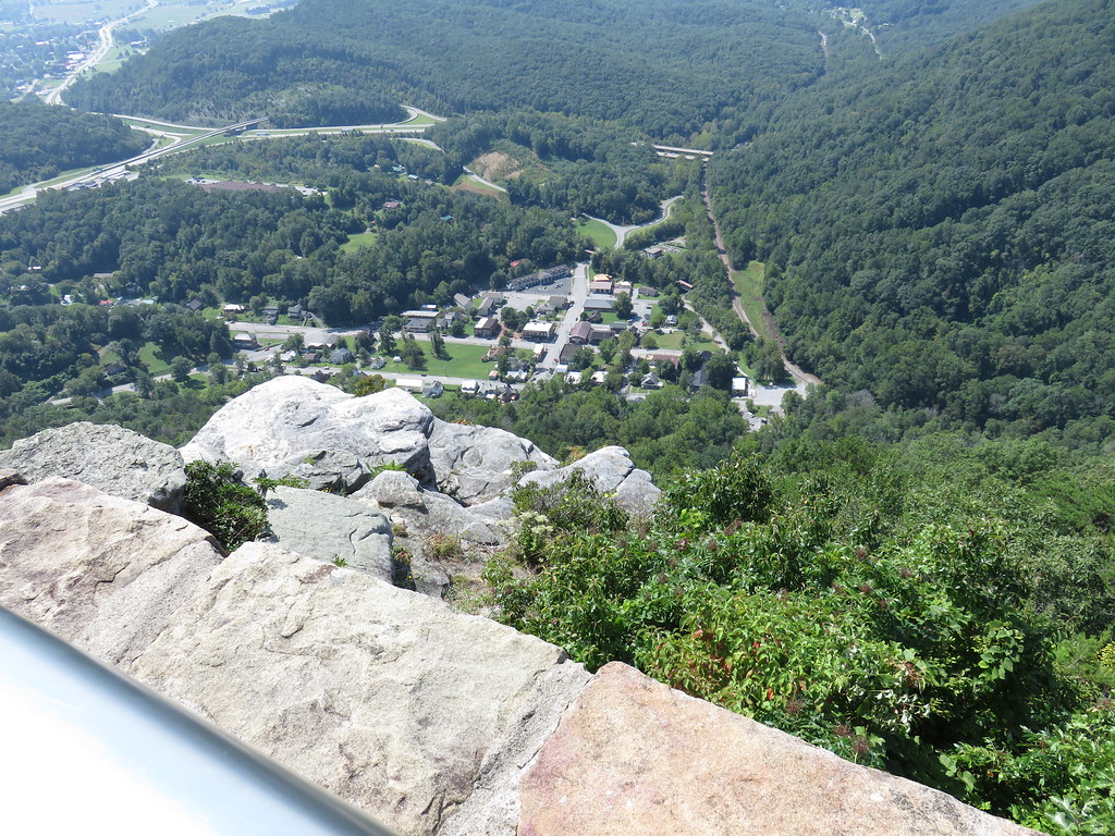
Pinnacle View

Bluish-purple Wild Flower I

View From The Pinnacle V
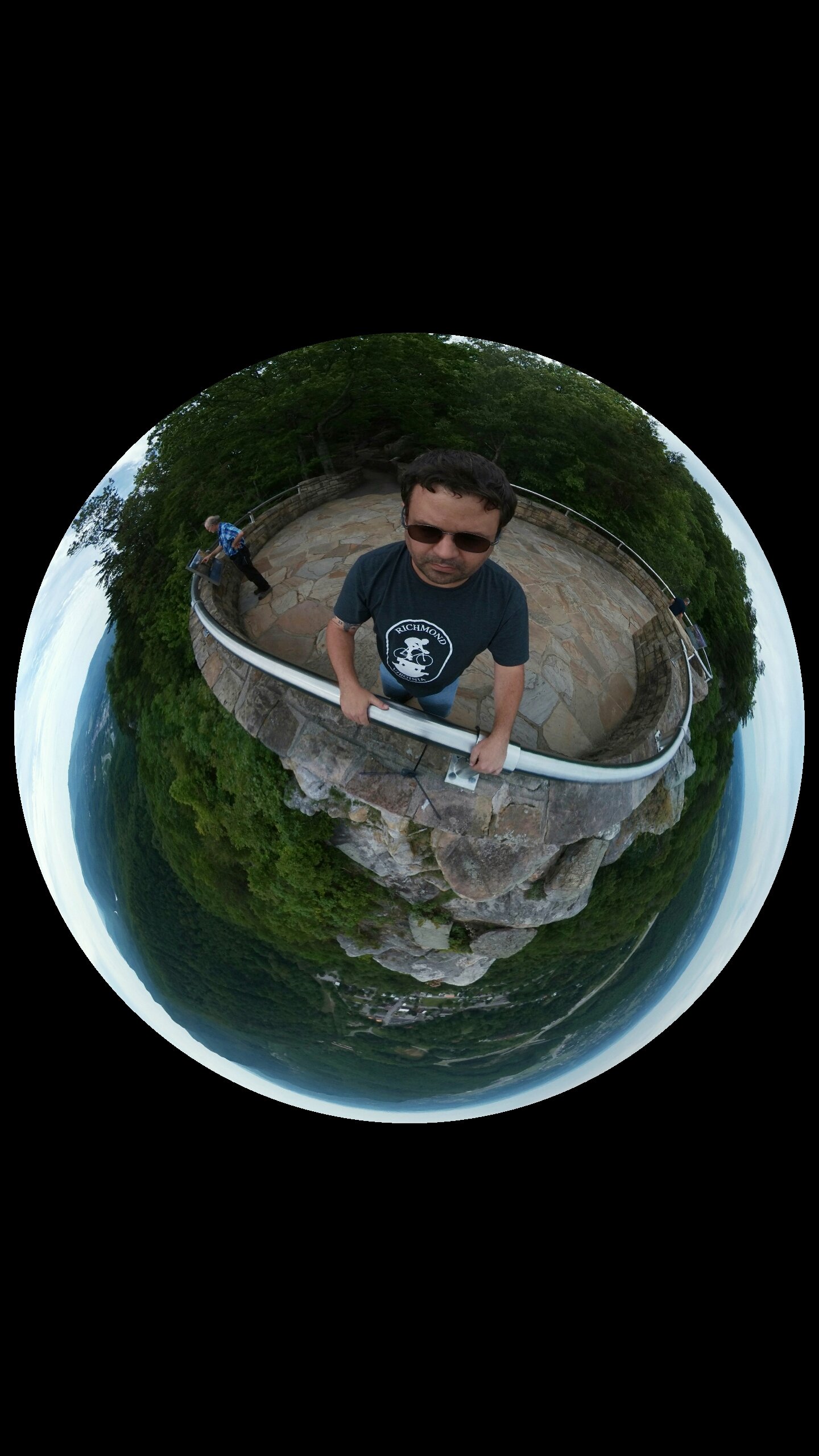
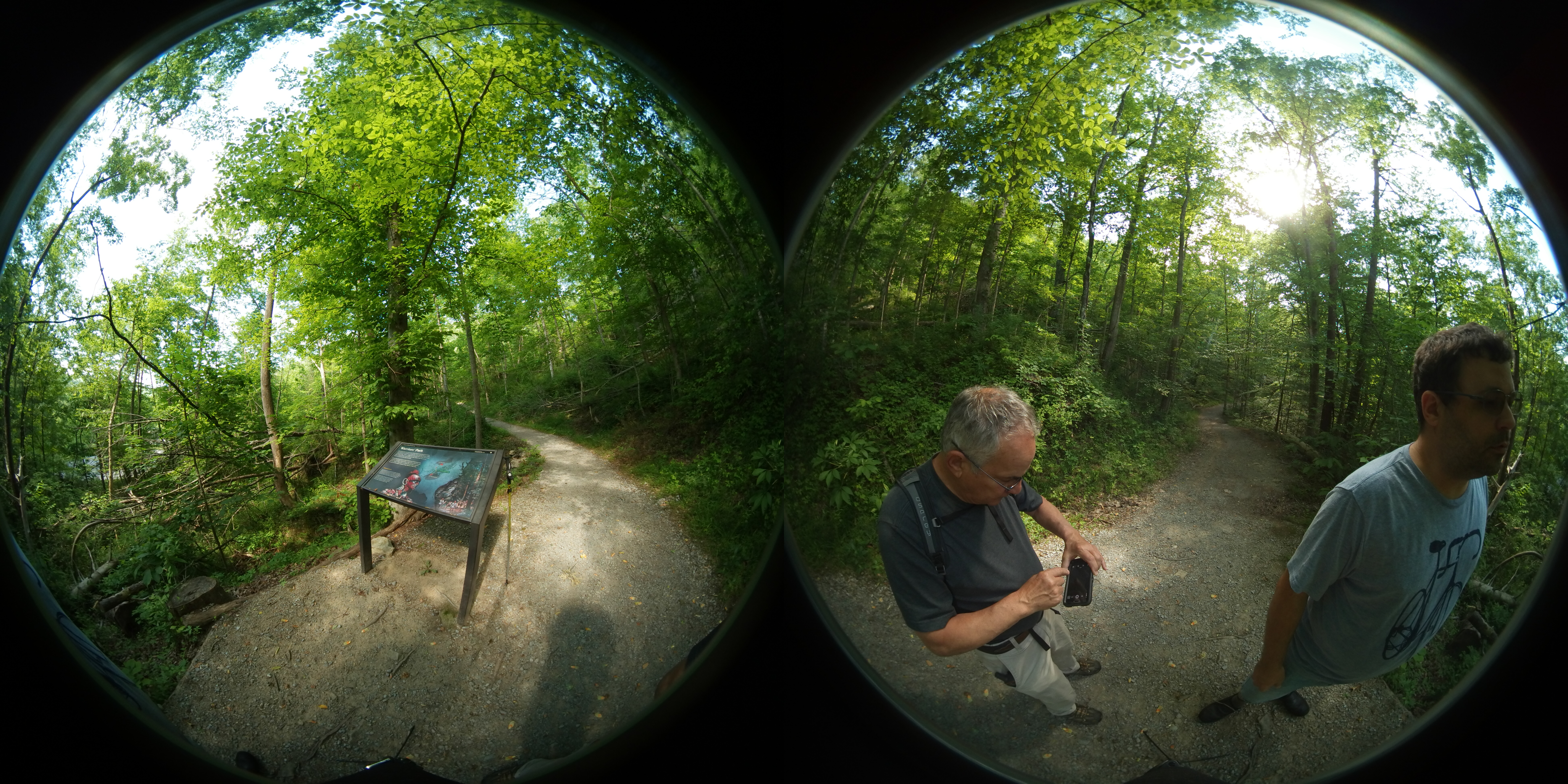
The Pinnacle 360
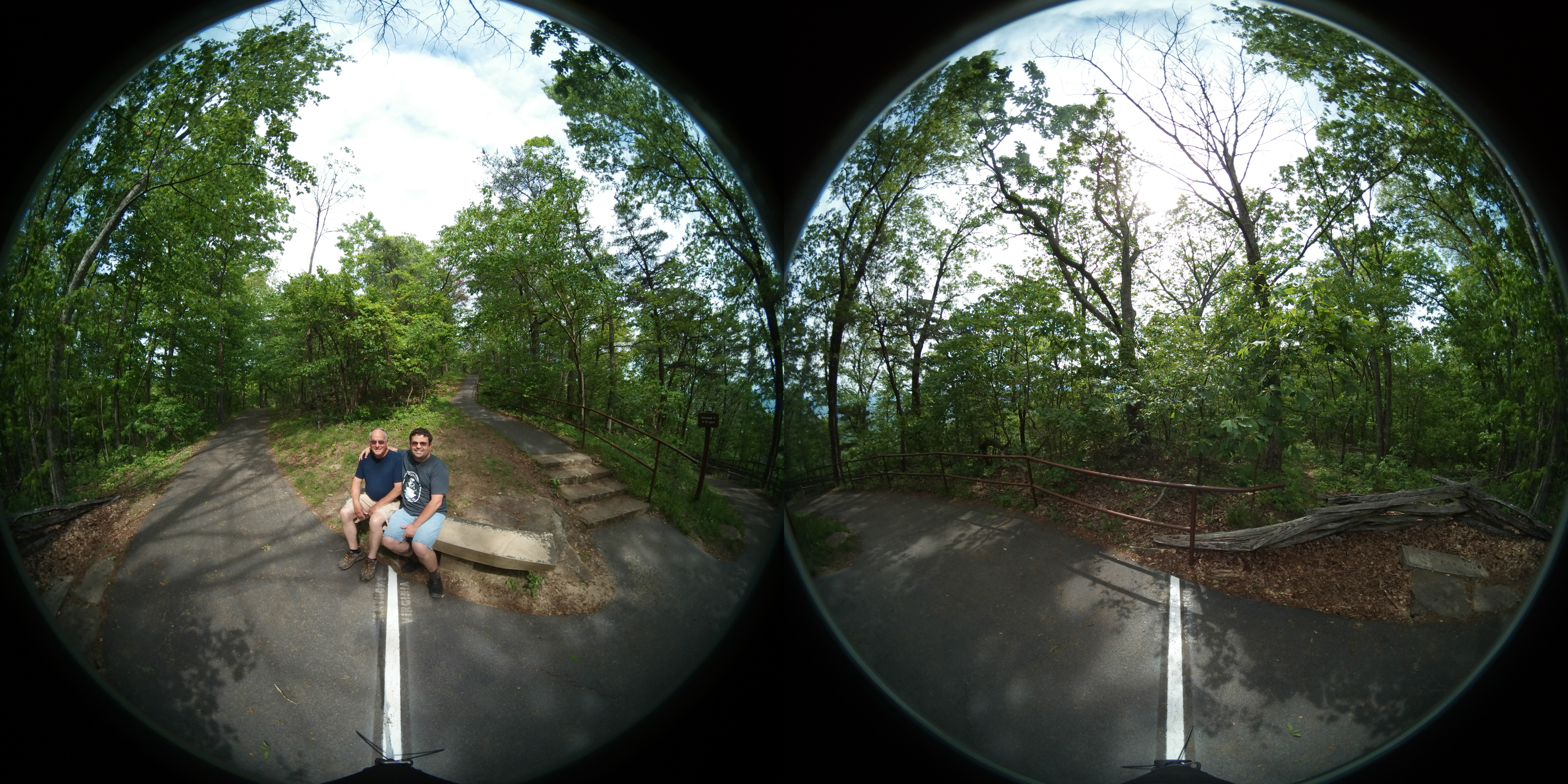
Pinnacle at the Cumberland Gap 360
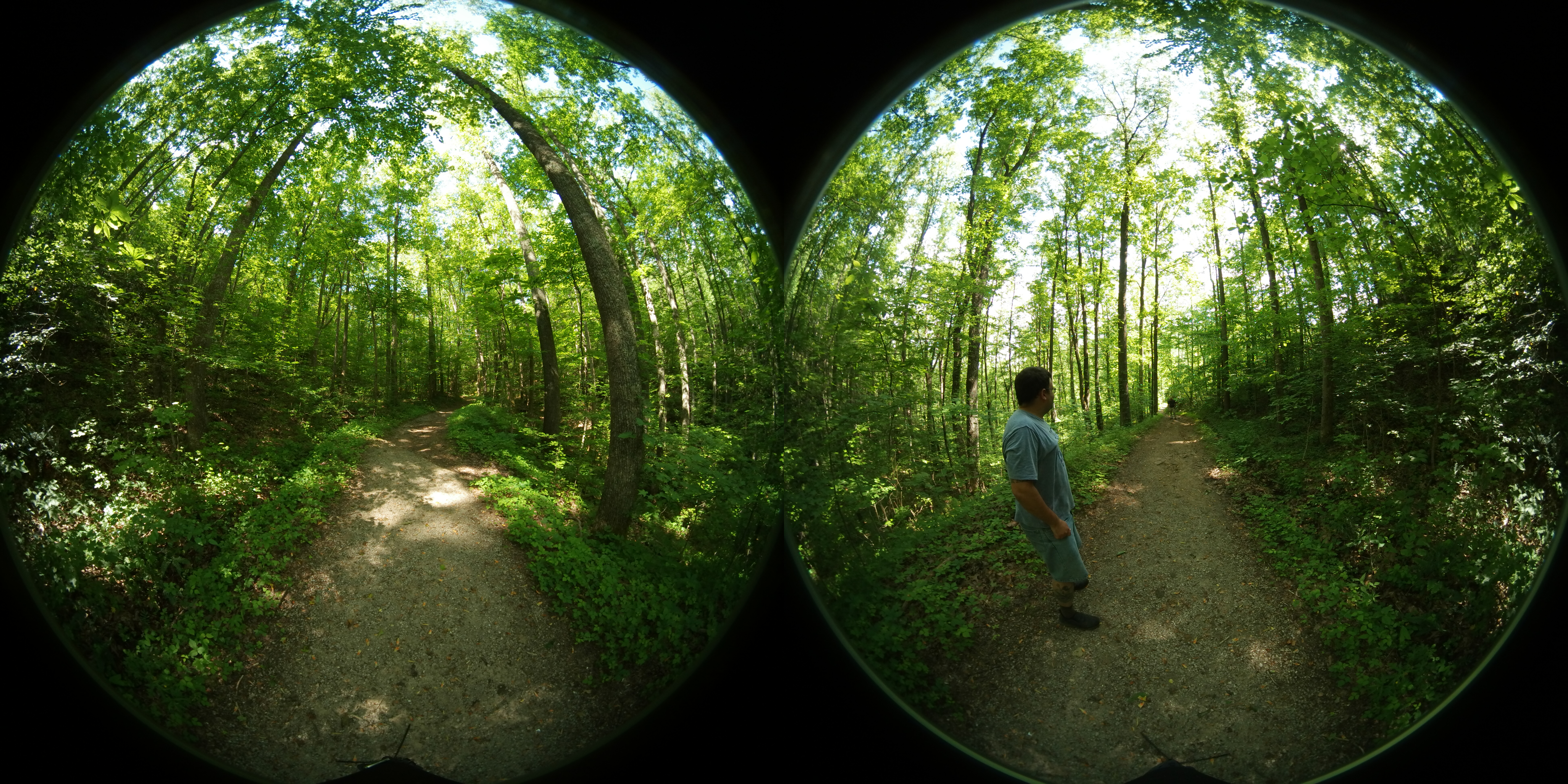
Cumberland Gap 360

COUNTRY BARN
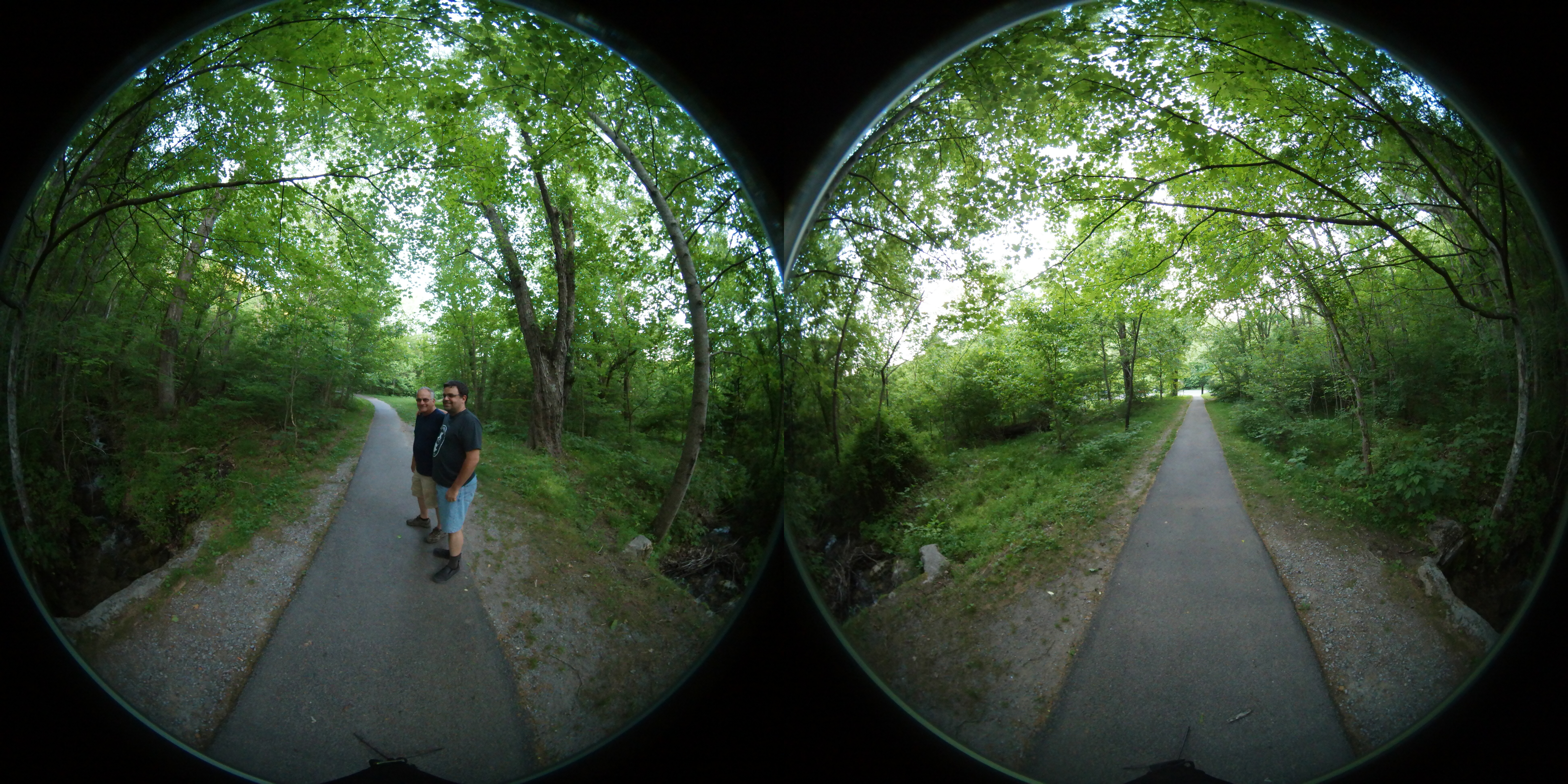
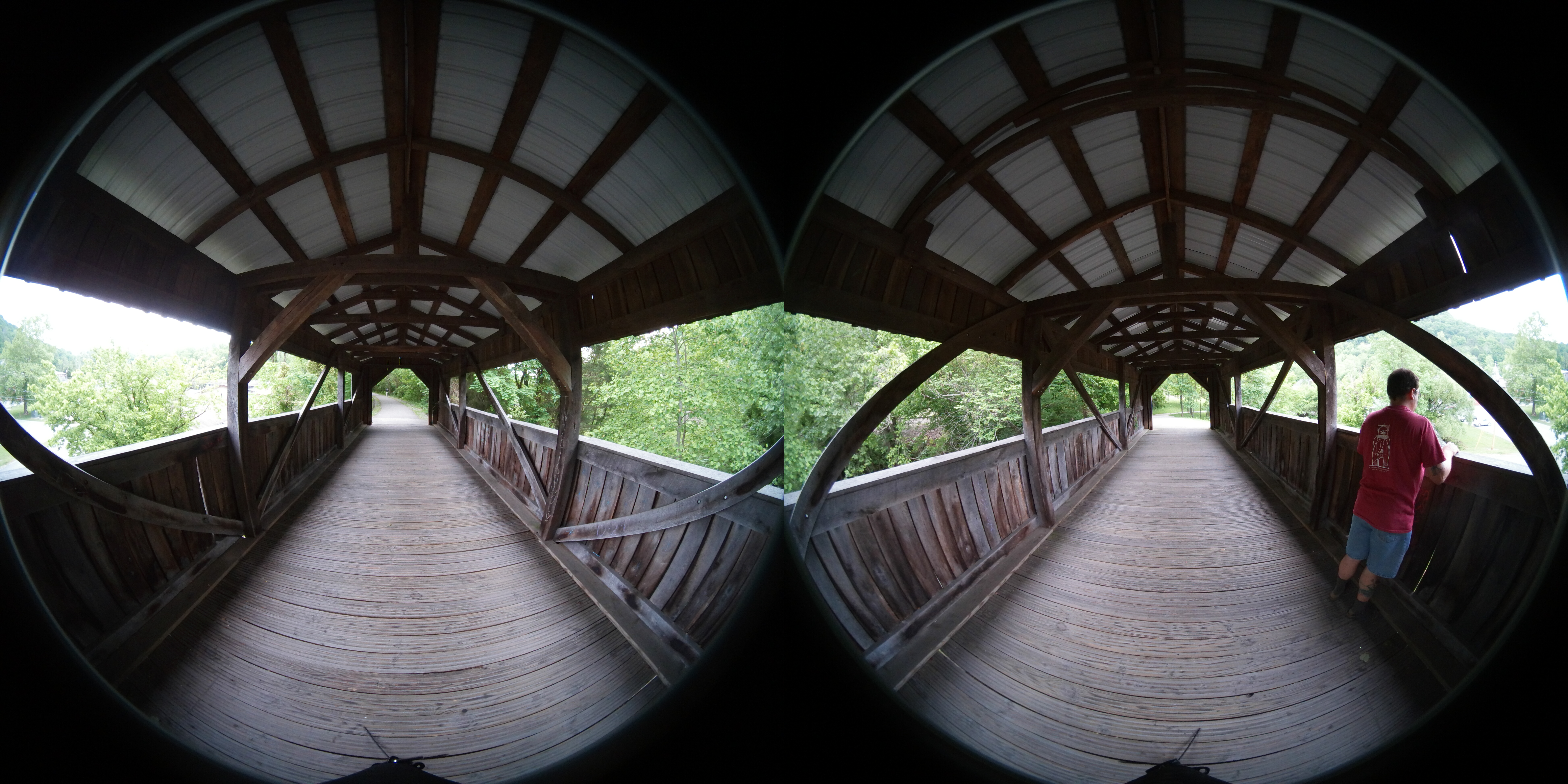
Cumberland Gap 360
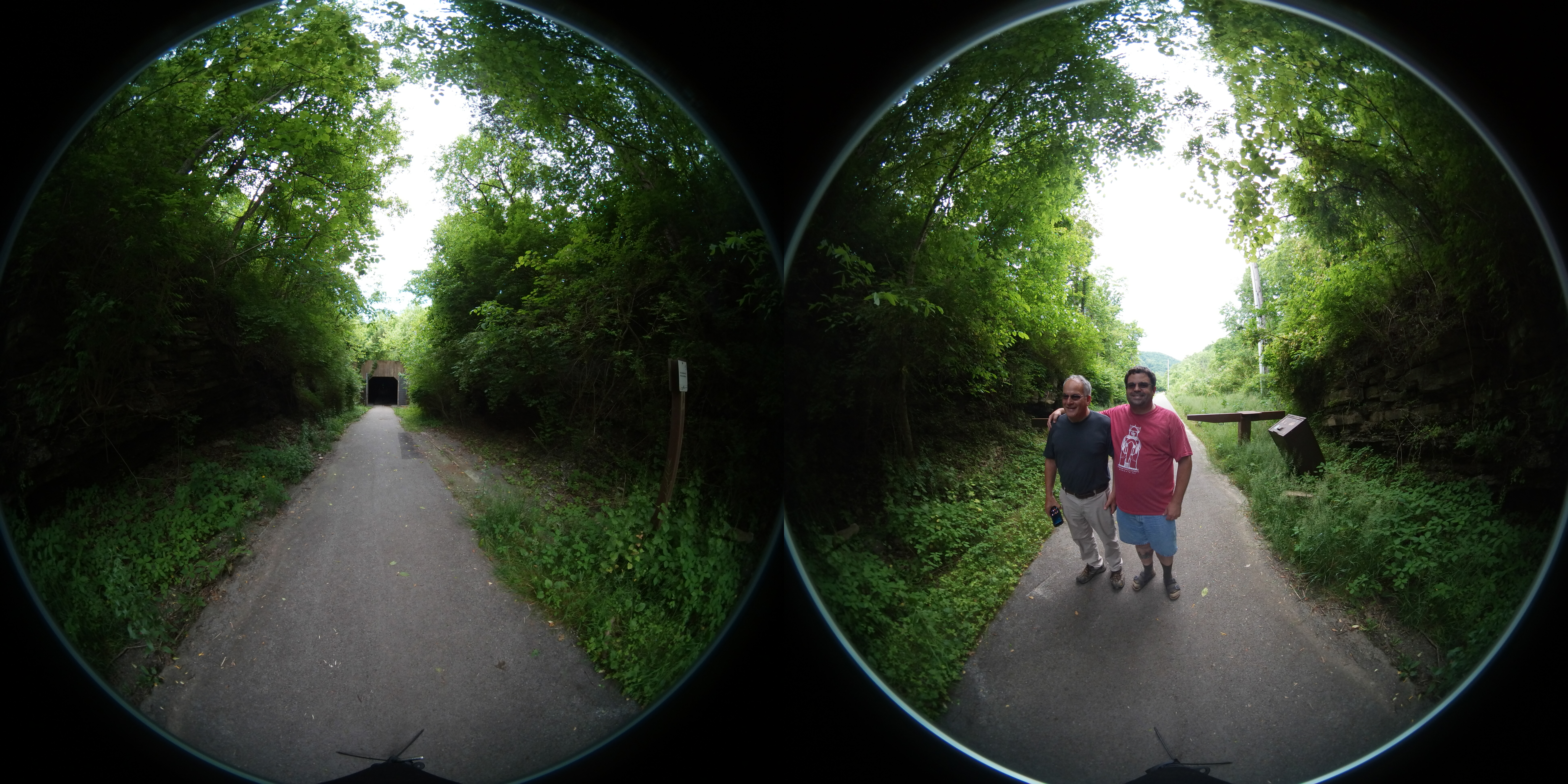
Cumberland Gap 360
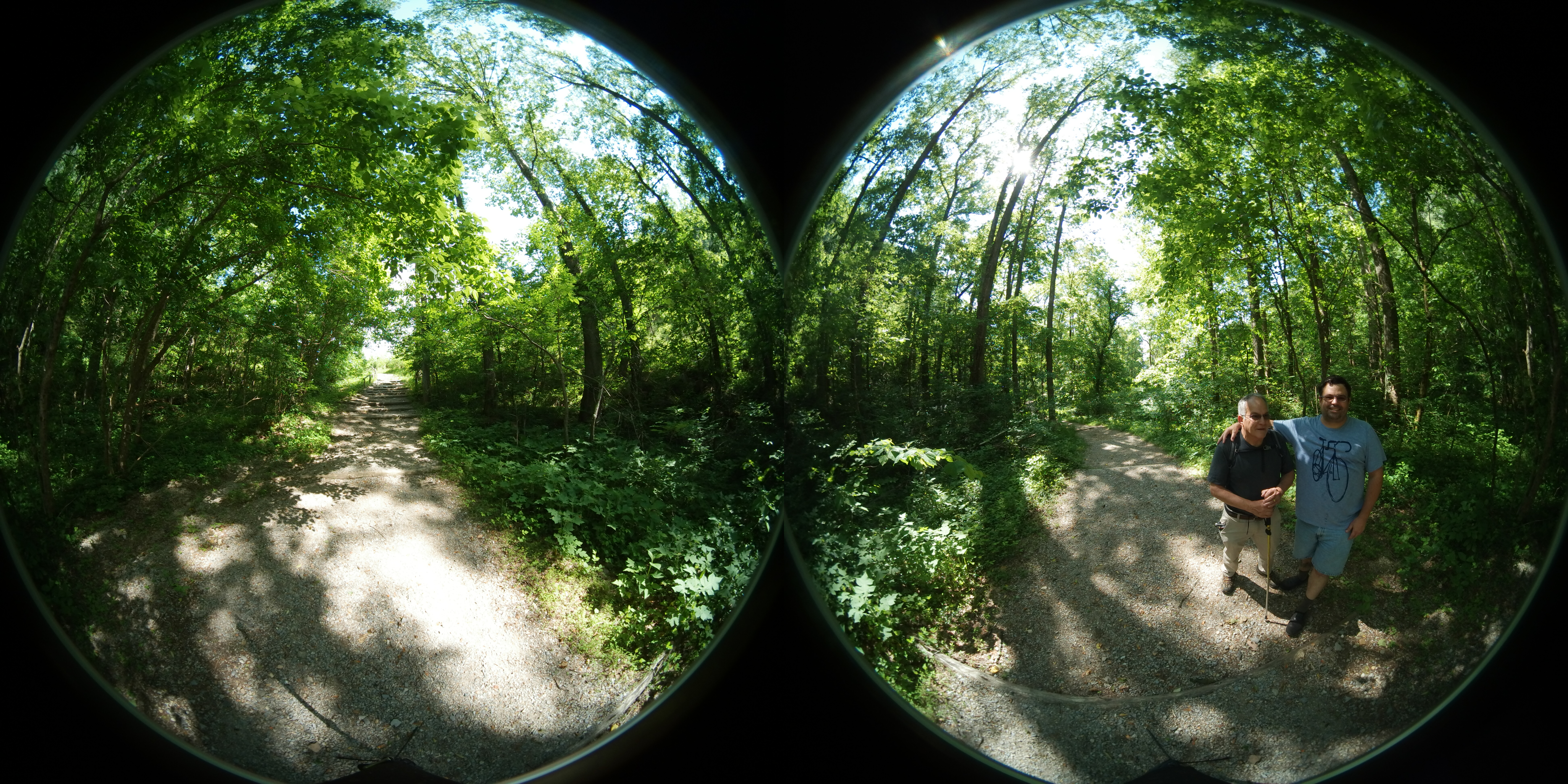
Pinnacle at the Cumberland Gap 360
Cumberland Gap 360
Cumberland Gap 360
Cumberland Gap 360
Pinnacle at the Cumberland Gap 360
The Cumberland Gap II
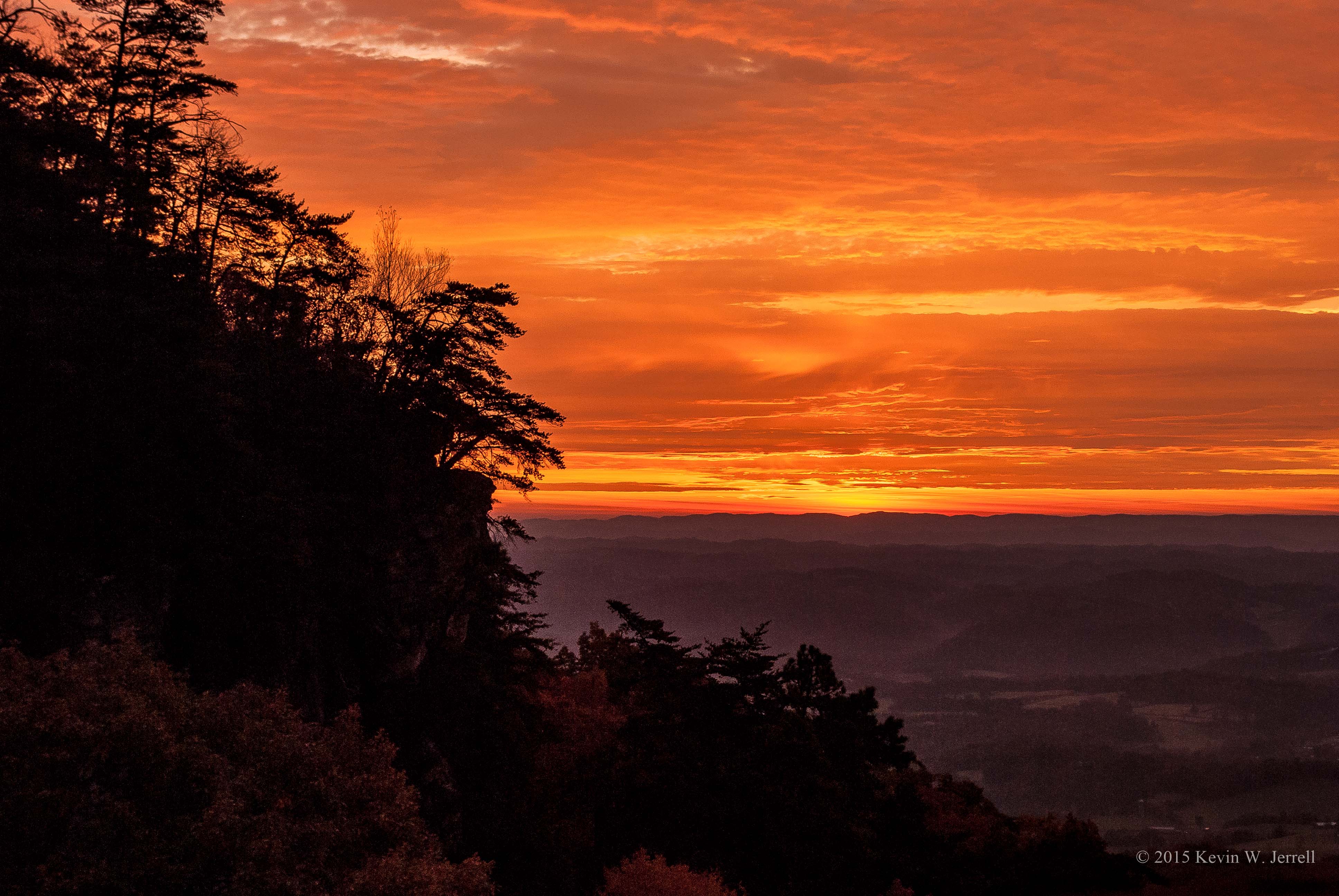
Blaze of Glory

Pinnacle at the Cumberland Gap 360
Sun Going Behind The Clouds Ⅷ
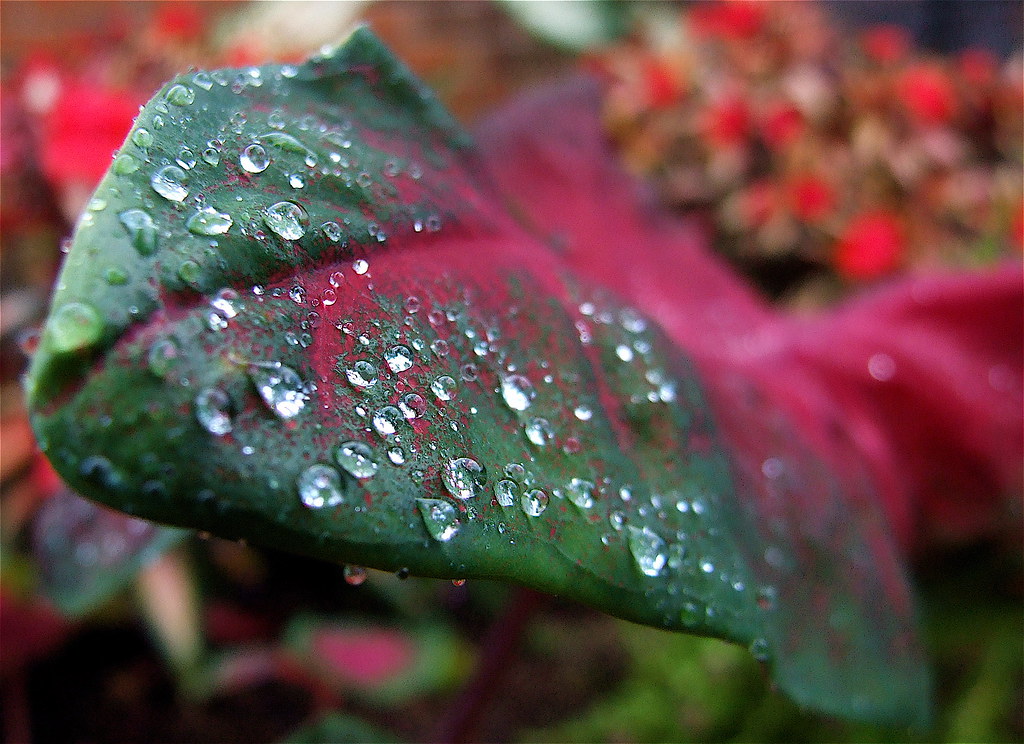
Diamonds On A Leaf
Morning Dew

Kentucky begins here, Middlesboro
Binghamtown Baptist Church

Burrell Creek Falls
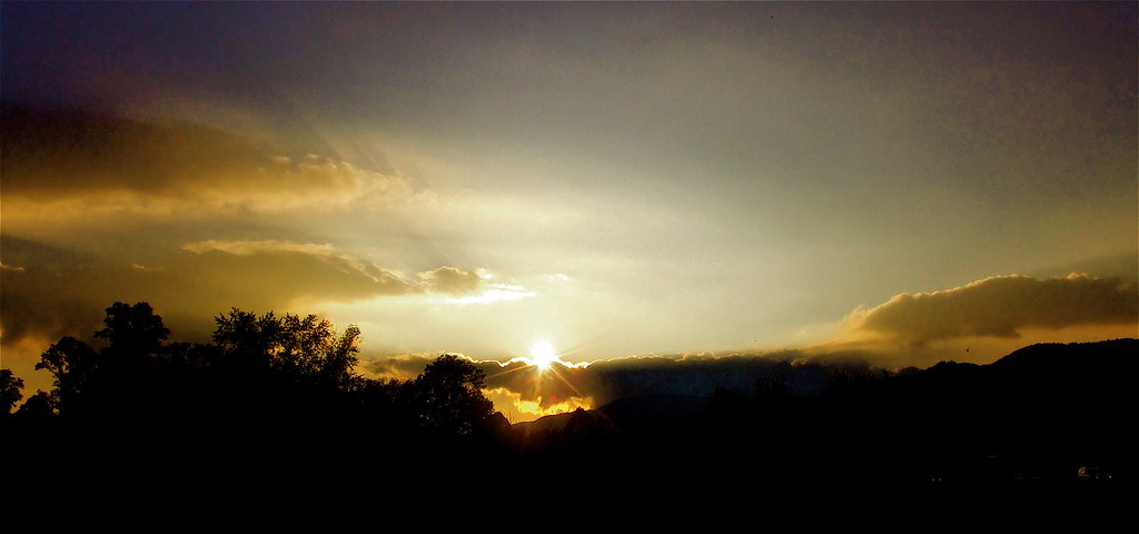
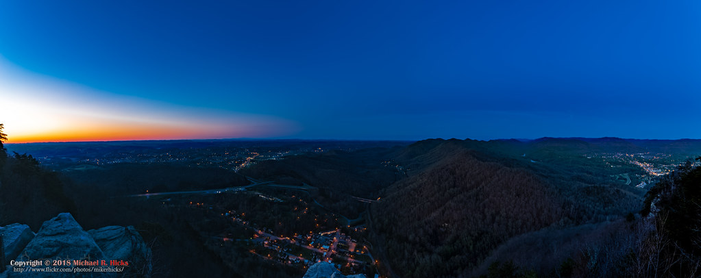
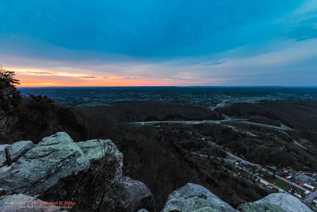
Cumberland Gap Sunset
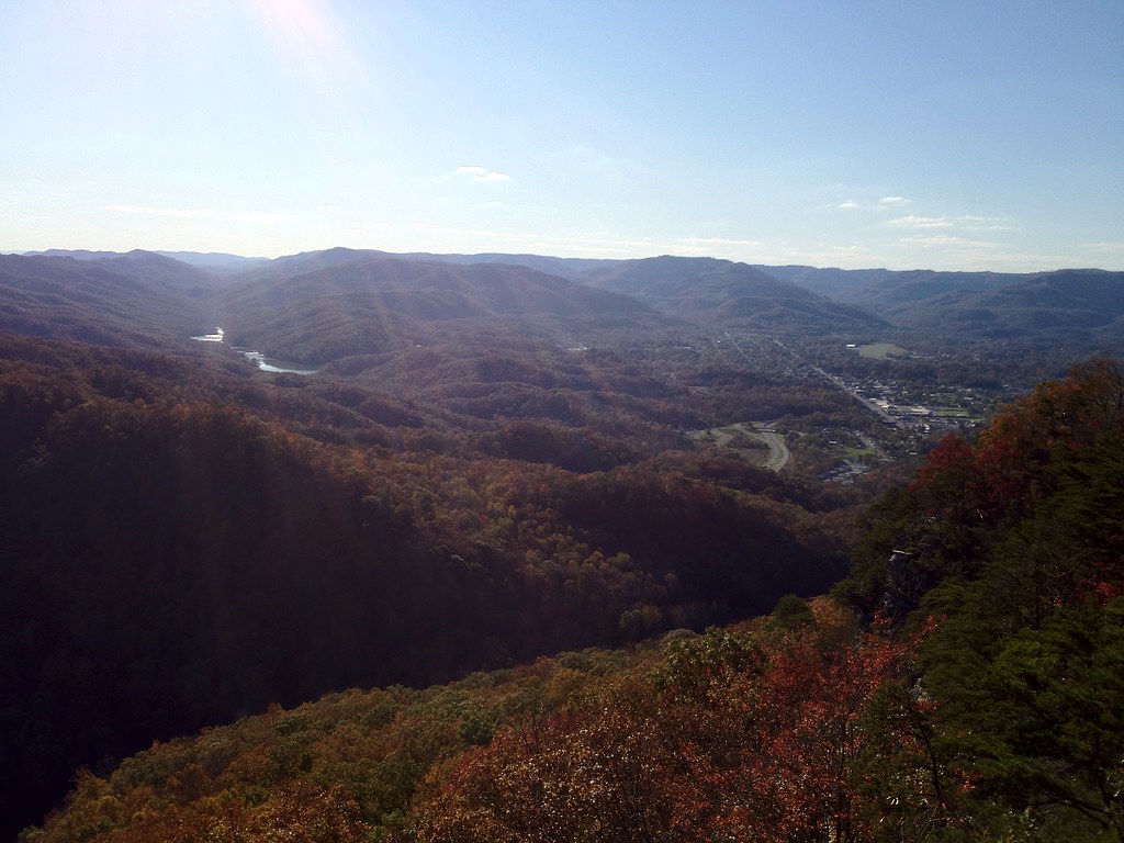
aerial view of Harrogate, TN
Tri-State Peak and Fern Lake
Cumberland Gap National Park
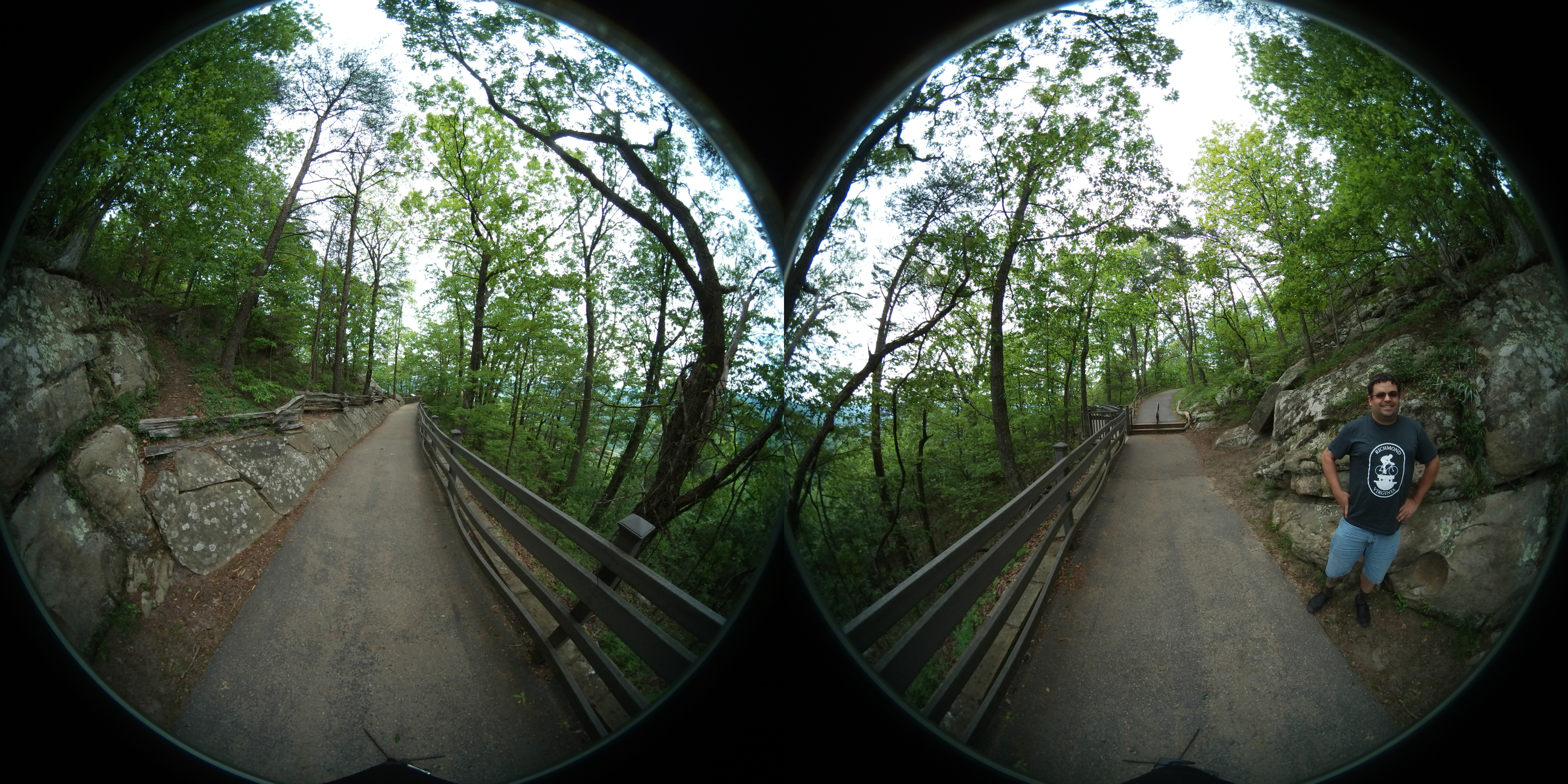
Greenleaf Nature Trail
Sunrise at Pinnacle Overlook
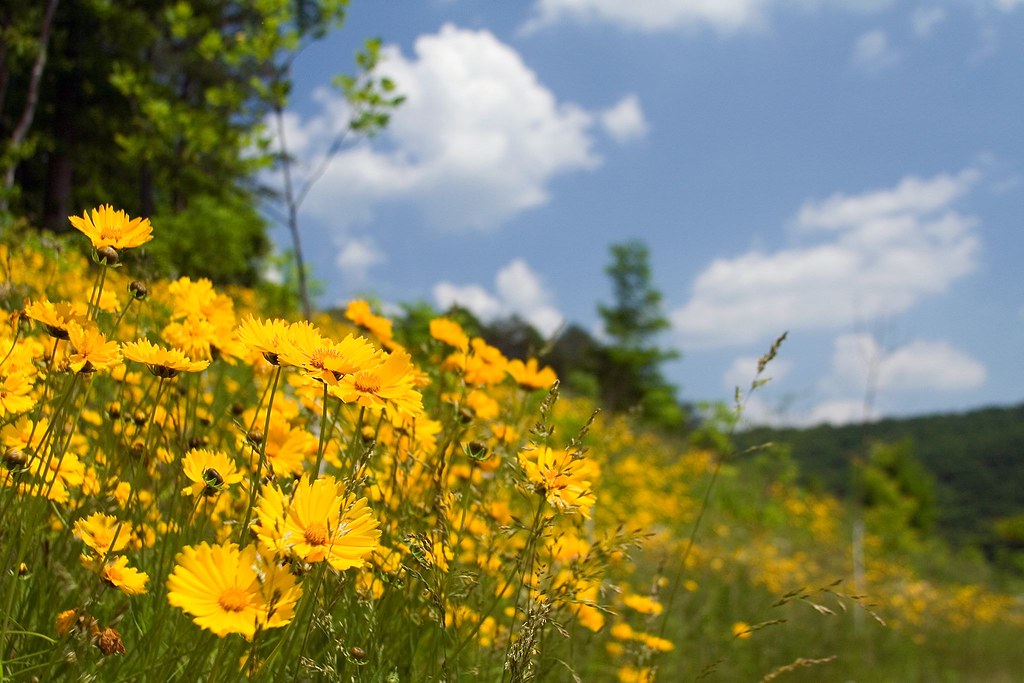
A Hillside of Yellow
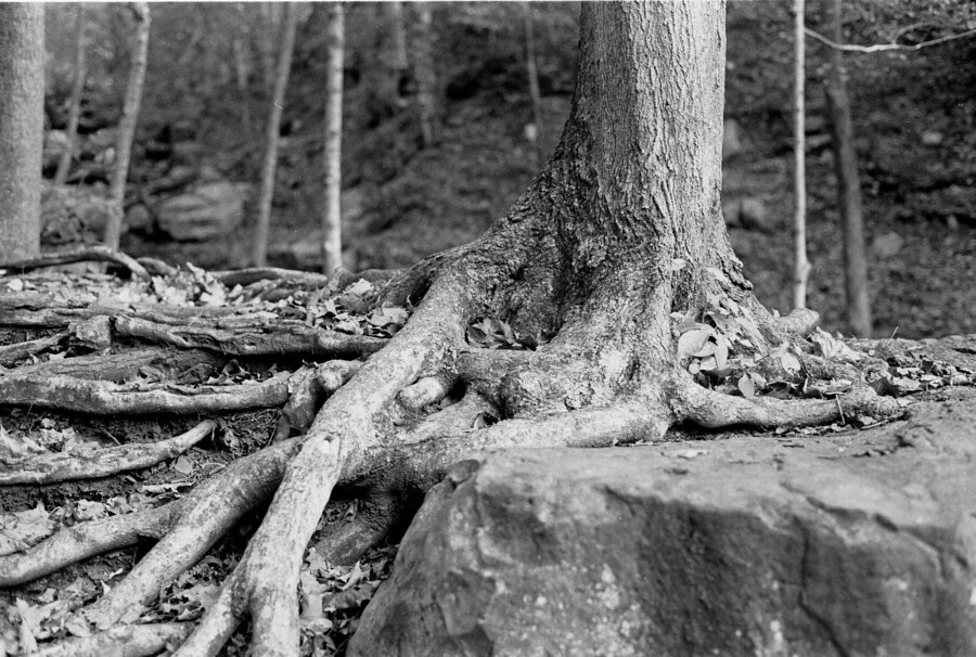
Roots and Rock
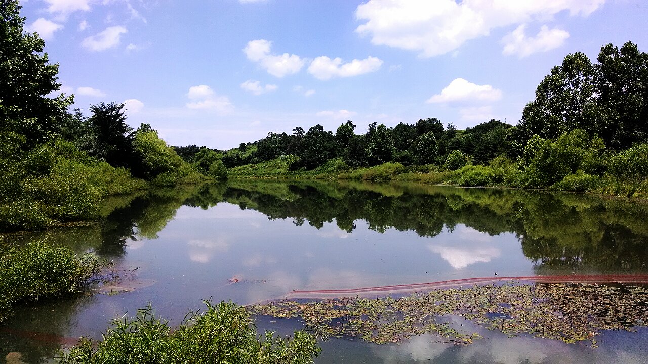
Mountain Drive Pond
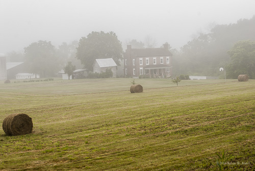
Foggy Morning on the Farm

Fog Over The Mountains
Pinnacle Overlook Sunrise
One last photo of Cumberland Gap, TN
I just drove through a mountain! #Cumberlandgap
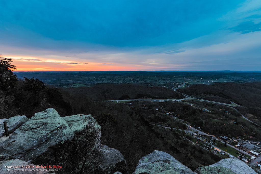
Pinnacle Overlook Sunrise
Topographic Map of Bug Hole Rd, Cumberland Gap, TN, USA
Find elevation by address:

Places near Bug Hole Rd, Cumberland Gap, TN, USA:
550 Arthur Rd
131 Summit Dr
Yoakum Ln, Speedwell, TN, USA
965 Barren Creek Rd
108 Cox Rd
Fords Chapel Rd, New Tazewell, TN, USA
1703 Leatherwood Hollow Rd
Carr Ridge Rd, New Tazewell, TN, USA
Old Highway 63
1199 White Oak Ridge Rd
295 Meadowlark Ln
Weaver Ridge Road
185 Dunn Hill Ln
1060 Old Hwy 63
1060 Old Hwy 63
1060 Old Hwy 63
1060 Old Hwy 63
Old Middlesboro Hwy, Speedwell, TN, USA
Speedwell
164 Old Leadmine Bend Rd
Recent Searches:
- Elevation of Corso Fratelli Cairoli, 35, Macerata MC, Italy
- Elevation of Tallevast Rd, Sarasota, FL, USA
- Elevation of 4th St E, Sonoma, CA, USA
- Elevation of Black Hollow Rd, Pennsdale, PA, USA
- Elevation of Oakland Ave, Williamsport, PA, USA
- Elevation of Pedrógão Grande, Portugal
- Elevation of Klee Dr, Martinsburg, WV, USA
- Elevation of Via Roma, Pieranica CR, Italy
- Elevation of Tavkvetili Mountain, Georgia
- Elevation of Hartfords Bluff Cir, Mt Pleasant, SC, USA