Elevation of Old Hwy 63, Speedwell, TN, USA
Location: United States > Tennessee > Claiborne County > Speedwell >
Longitude: -83.863582
Latitude: 36.4630992
Elevation: 344m / 1129feet
Barometric Pressure: 97KPa
Elevation Map:
Satellite Map:
Related Photos:

Norris Lake
Motch Falls

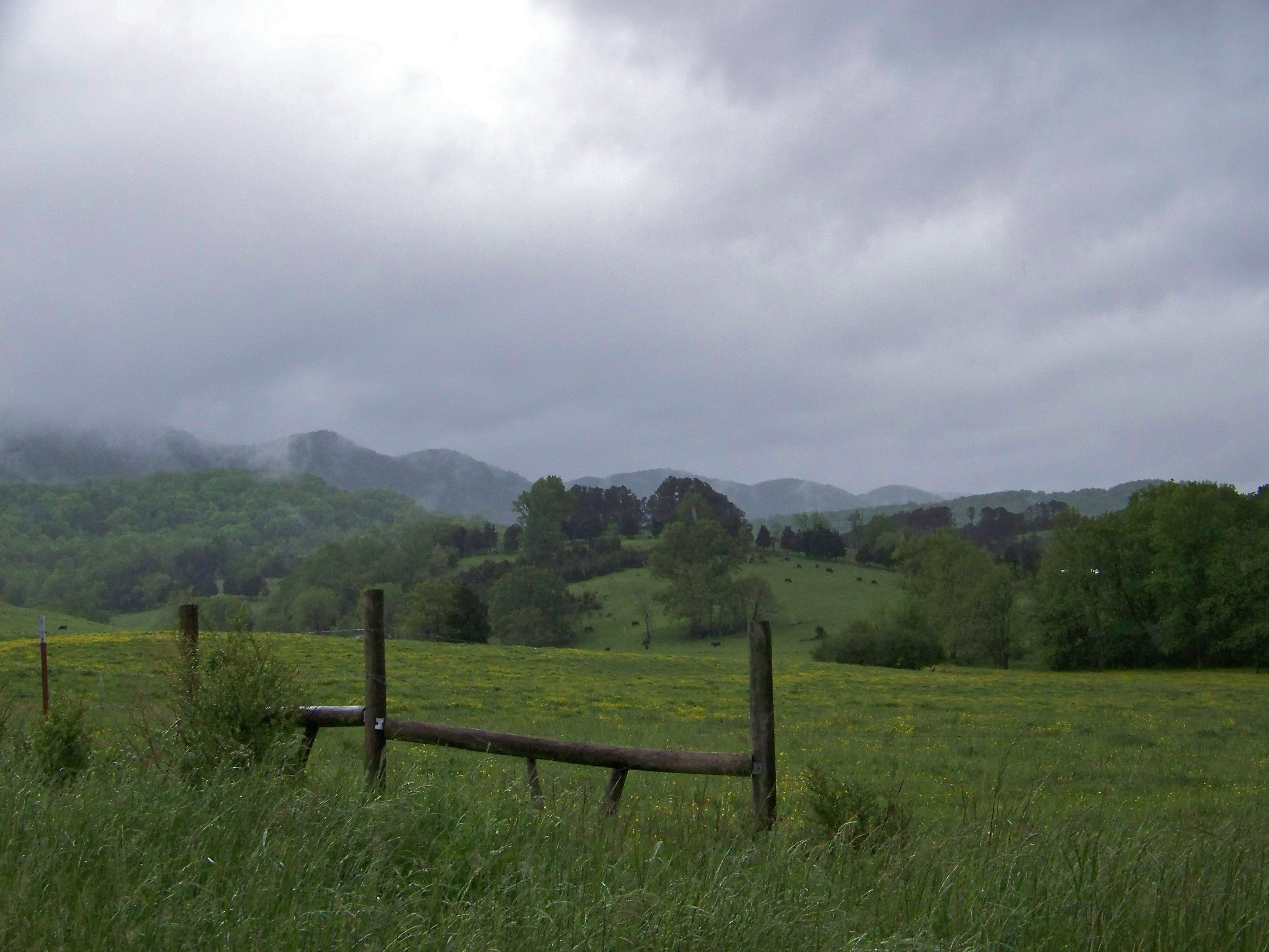
Foggy Morning on the Farm

Just because it got like 60 degrees today and felt just like spring!!!☀️????????

Sunset on the lake. #norrislake #sunset #lake #summer #boat #boating #norris #soludosendlesssummer

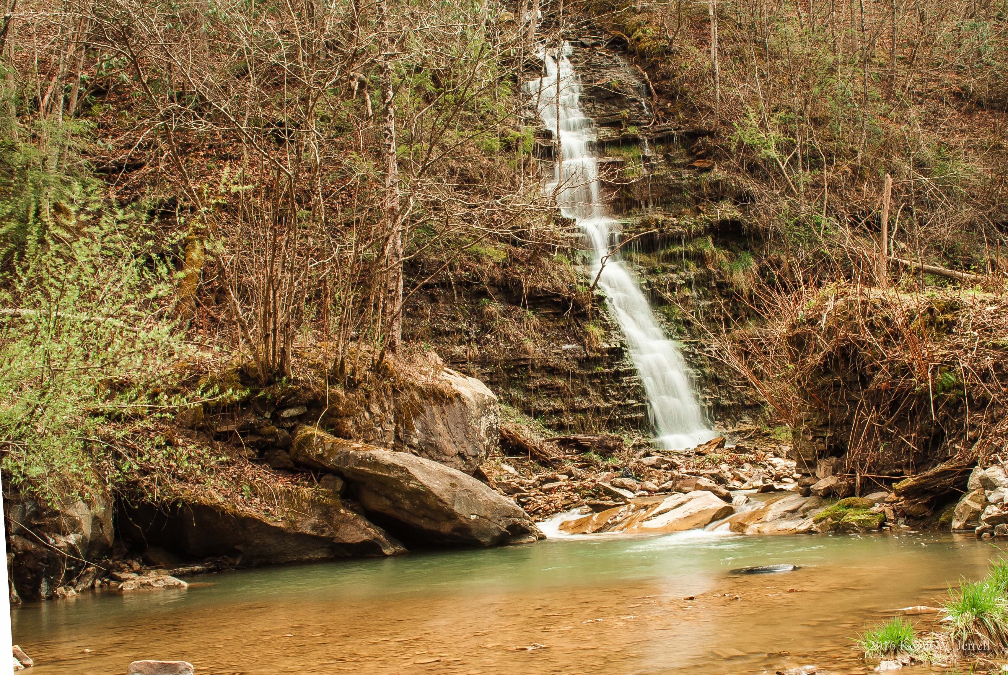
Roadside Waterfall

D_MG_4895-Edit

Flat Hollow Marina, Norris Lake, Tennessee
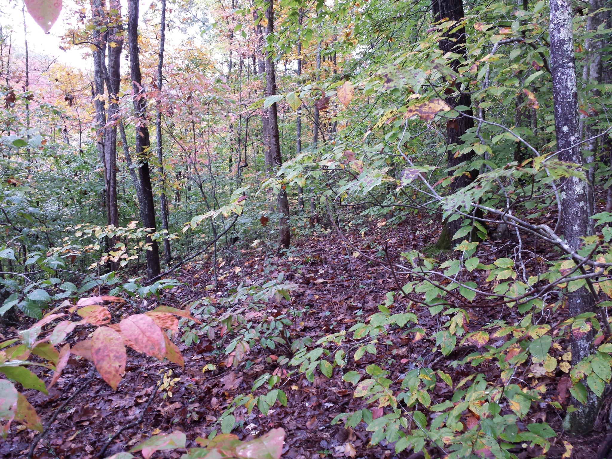
2014-10-16 10.54.58
Gray Sky
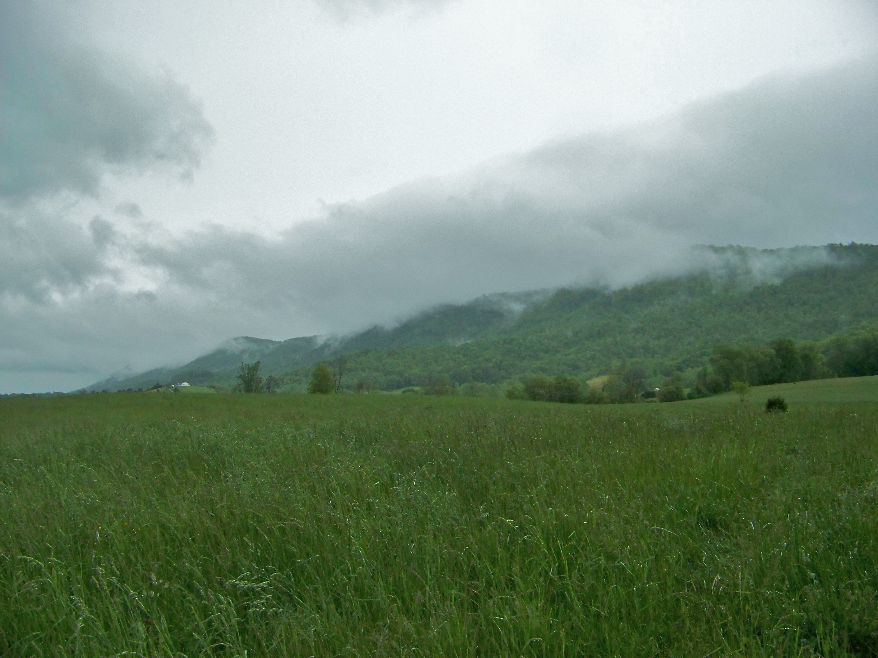
Cumberland Mountain
2014-10-16 10.53.44

Flat Hollow Marina, Norris Lake, Tennessee

Yellow Flowers

2014-10-16 10.54.50

Flat Hollow Marina, Norris Lake, Tennessee
Topographic Map of Old Hwy 63, Speedwell, TN, USA
Find elevation by address:

Places near Old Hwy 63, Speedwell, TN, USA:
1060 Old Hwy 63
1060 Old Hwy 63
1060 Old Hwy 63
Old Middlesboro Hwy, Speedwell, TN, USA
Speedwell
185 Dunn Hill Ln
295 Meadowlark Ln
Old Highway 63
1199 White Oak Ridge Rd
Blue Spring Rd, Speedwell, TN, USA
450 Sleepy Hollow Road
237 Last Lz Ln
Charlie Lane
164 Old Leadmine Bend Rd
365 Shores Dr
Yoakum Ln, Speedwell, TN, USA
362 Powell Valley Shores Ln
1311 Doaks Creek Rd
1311 Doaks Creek Rd
1311 Doaks Creek Rd
Recent Searches:
- Elevation of Corso Fratelli Cairoli, 35, Macerata MC, Italy
- Elevation of Tallevast Rd, Sarasota, FL, USA
- Elevation of 4th St E, Sonoma, CA, USA
- Elevation of Black Hollow Rd, Pennsdale, PA, USA
- Elevation of Oakland Ave, Williamsport, PA, USA
- Elevation of Pedrógão Grande, Portugal
- Elevation of Klee Dr, Martinsburg, WV, USA
- Elevation of Via Roma, Pieranica CR, Italy
- Elevation of Tavkvetili Mountain, Georgia
- Elevation of Hartfords Bluff Cir, Mt Pleasant, SC, USA