Elevation of FM, Laneville, TX, USA
Location: United States > Texas > Rusk County >
Longitude: -94.8082898
Latitude: 31.9762838
Elevation: 135m / 443feet
Barometric Pressure: 0KPa
Related Photos:
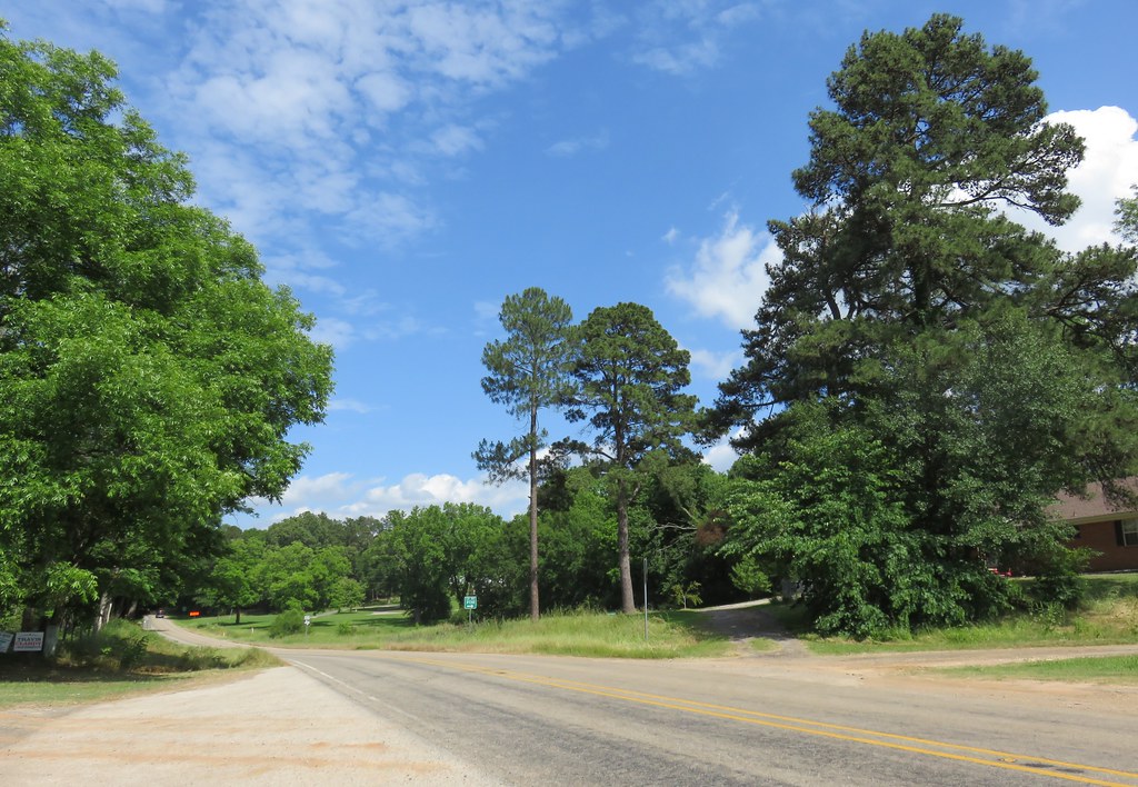
Piney Woods Landscape (Minden, Texas)

Ditrichum pallidum
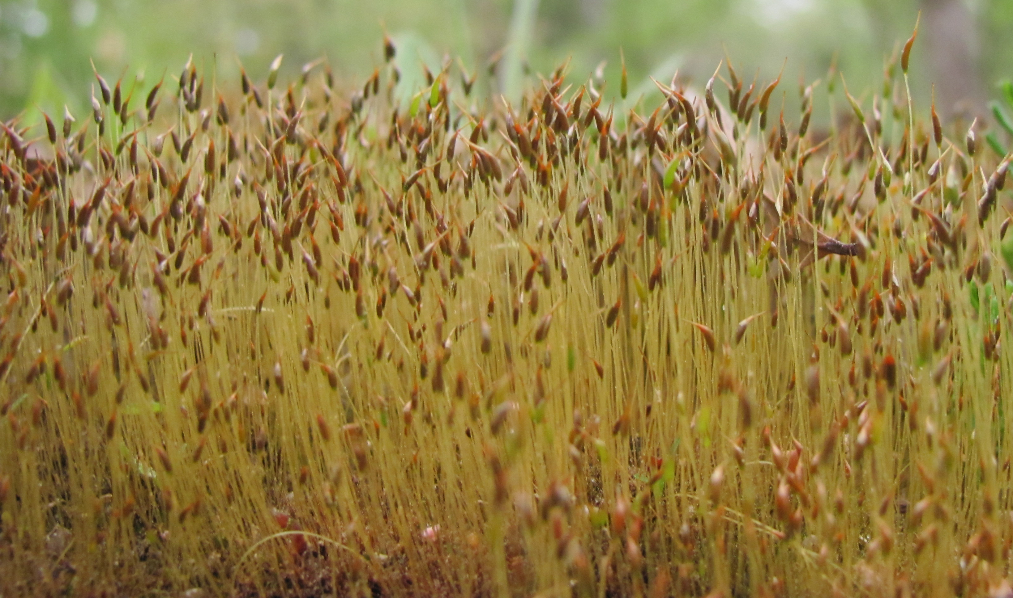
Ditrichum pallidum

Post Office 75681 (Mount Enterprise, Texas)

Post Office 75680 (Minden, Texas)

Voting Box 316 (Minden, Texas)

<ExtinguishedEmotionally>

Navy Scramble Pilot
Topographic Map of FM, Laneville, TX, USA
Find elevation by address:

Places near FM, Laneville, TX, USA:
4857 Fm 225
Mount Enterprise
Button Mountain
US-79, Henderson, TX, USA
Cushing
2001 W Main St
Henderson
402 E Main St
Co Rd, Henderson, TX, USA
Mccann Branch
Rusk County
Co Rd, Nacogdoches, TX, USA
Price
FM 95, Mt Enterprise, TX, USA
Reklaw
FM, Cushing, TX, USA
TX-64, Henderson, TX, USA
TX-, Reklaw, TX, USA
FM, Troup, TX, USA
977 Co Rd 1322
Recent Searches:
- Elevation of 10370, West 107th Circle, Westminster, Jefferson County, Colorado, 80021, USA
- Elevation of 611, Roman Road, Old Ford, Bow, London, England, E3 2RW, United Kingdom
- Elevation of 116, Beartown Road, Underhill, Chittenden County, Vermont, 05489, USA
- Elevation of Window Rock, Colfax County, New Mexico, 87714, USA
- Elevation of 4807, Rosecroft Street, Kempsville Gardens, Virginia Beach, Virginia, 23464, USA
- Elevation map of Matawinie, Quebec, Canada
- Elevation of Sainte-Émélie-de-l'Énergie, Matawinie, Quebec, Canada
- Elevation of Rue du Pont, Sainte-Émélie-de-l'Énergie, Matawinie, Quebec, J0K2K0, Canada
- Elevation of 8, Rue de Bécancour, Blainville, Thérèse-De Blainville, Quebec, J7B1N2, Canada
- Elevation of Wilmot Court North, 163, University Avenue West, Northdale, Waterloo, Region of Waterloo, Ontario, N2L6B6, Canada
- Elevation map of Panamá Province, Panama
- Elevation of Balboa, Panamá Province, Panama
- Elevation of San Miguel, Balboa, Panamá Province, Panama
- Elevation of Isla Gibraleón, San Miguel, Balboa, Panamá Province, Panama
- Elevation of 4655, Krischke Road, Schulenburg, Fayette County, Texas, 78956, USA
- Elevation of Carnegie Avenue, Downtown Cleveland, Cleveland, Cuyahoga County, Ohio, 44115, USA
- Elevation of Walhonding, Coshocton County, Ohio, USA
- Elevation of Clifton Down, Clifton, Bristol, City of Bristol, England, BS8 3HU, United Kingdom
- Elevation map of Auvergne-Rhône-Alpes, France
- Elevation map of Upper Savoy, Auvergne-Rhône-Alpes, France