Elevation of Cushing, TX, USA
Location: United States > Texas > Nacogdoches County >
Longitude: -94.840492
Latitude: 31.8146179
Elevation: 125m / 410feet
Barometric Pressure: 100KPa
Elevation Map:
Satellite Map:
Related Photos:
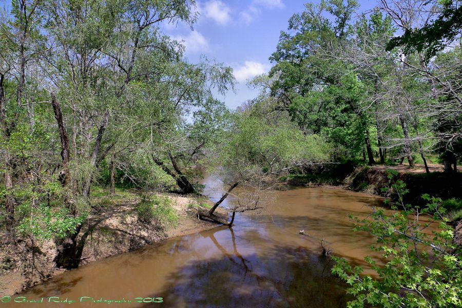
Oh Angelina
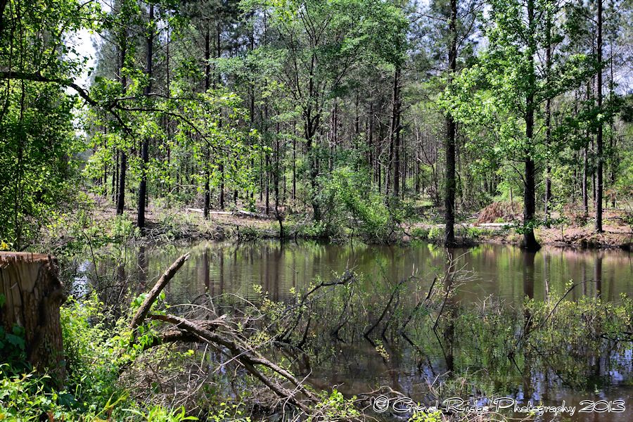
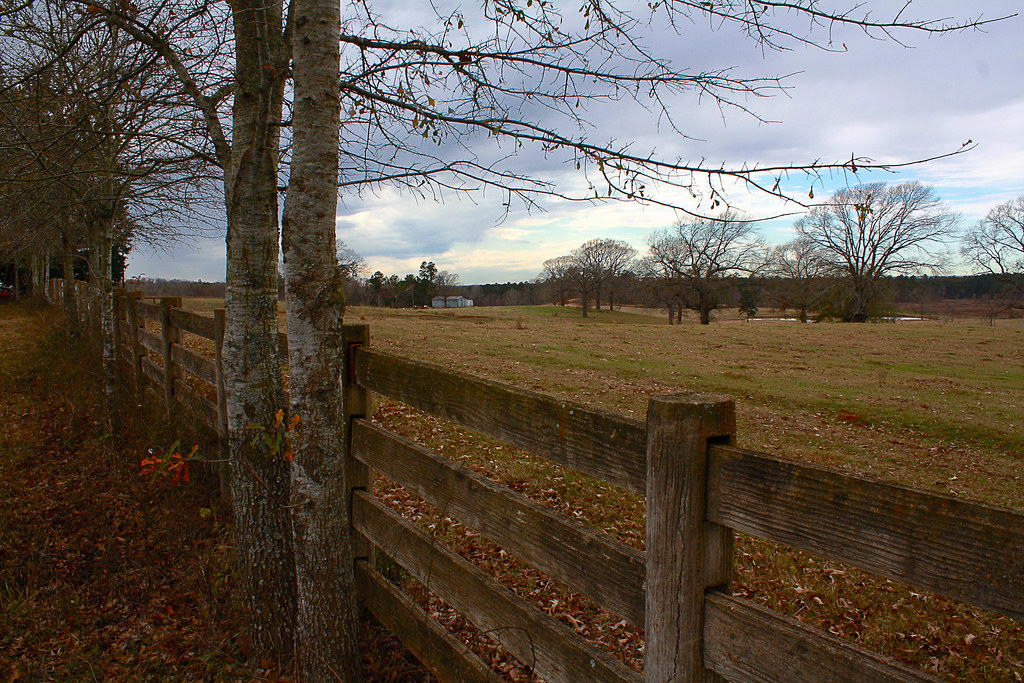
East Texas at it's Best
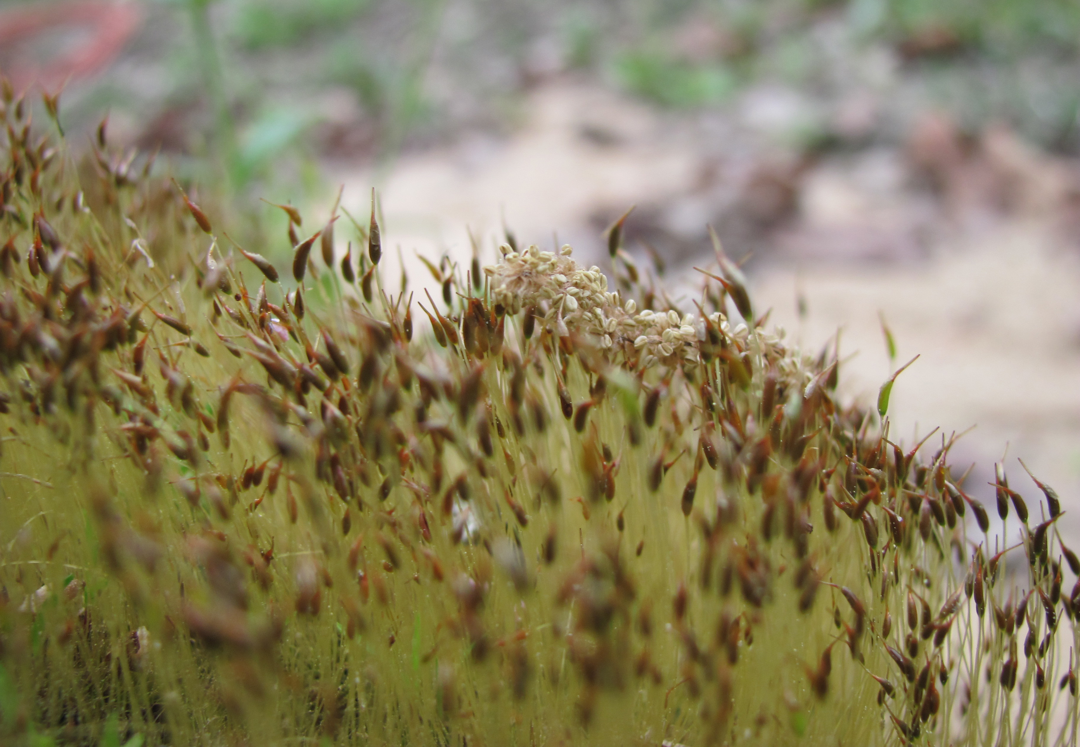
Ditrichum pallidum
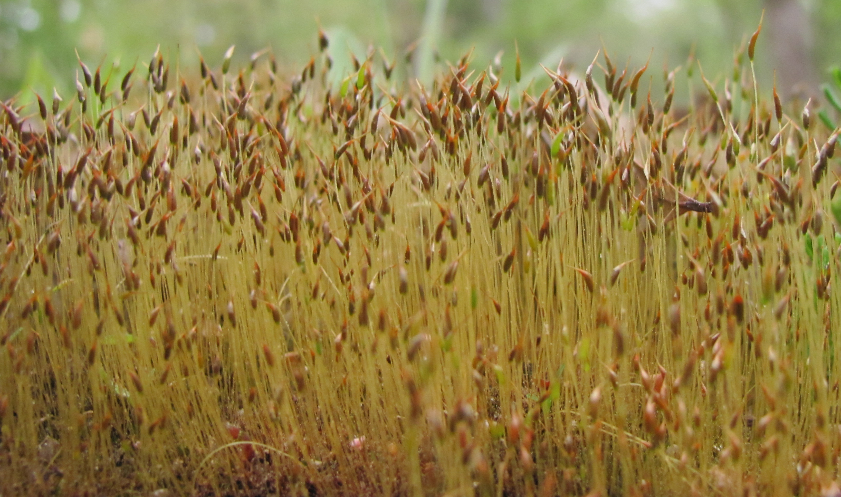
Ditrichum pallidum
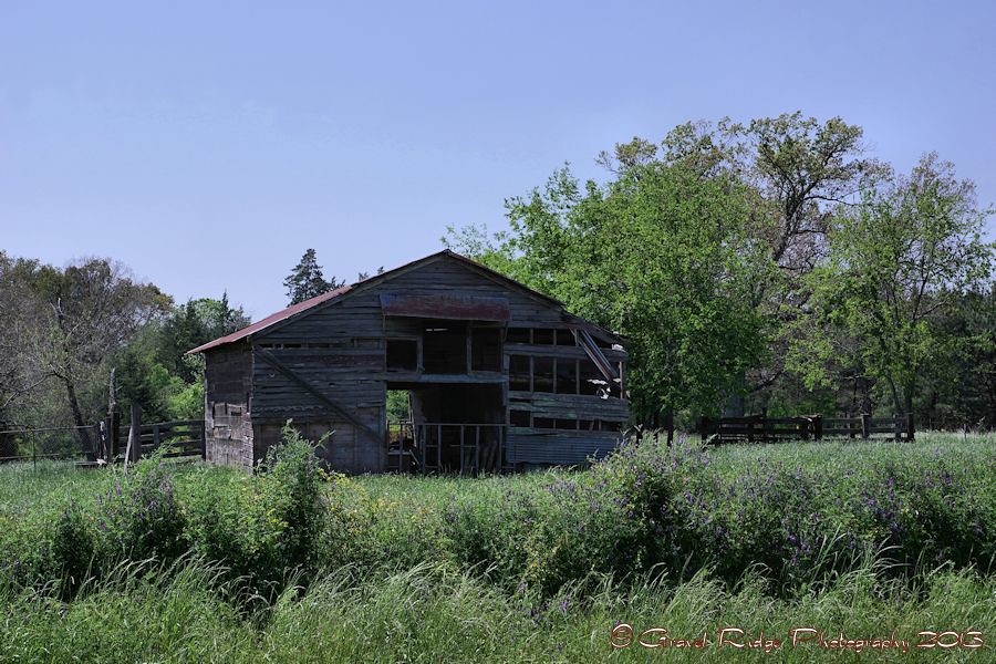
Farm in Looneyville, Texas

20150221-181507-2

Me and tha sis!!!!! #like #follow #tag4like #tagforlike #tag4follow #tagforfollow #bored

Camera Roll-112

Sacal Prayer Room Long Exposure

Camera Roll-160
Dog Trot House
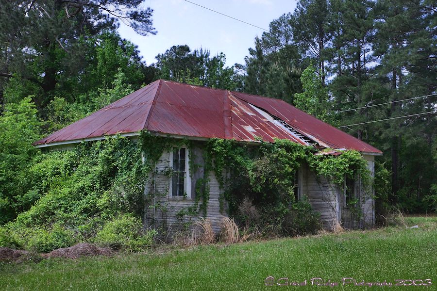
Yesteryear School

The Window of Learning
School House
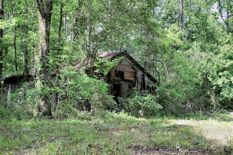
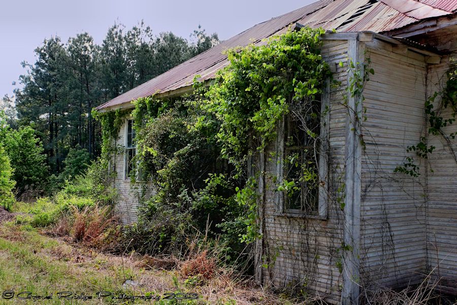
Succumb to Time
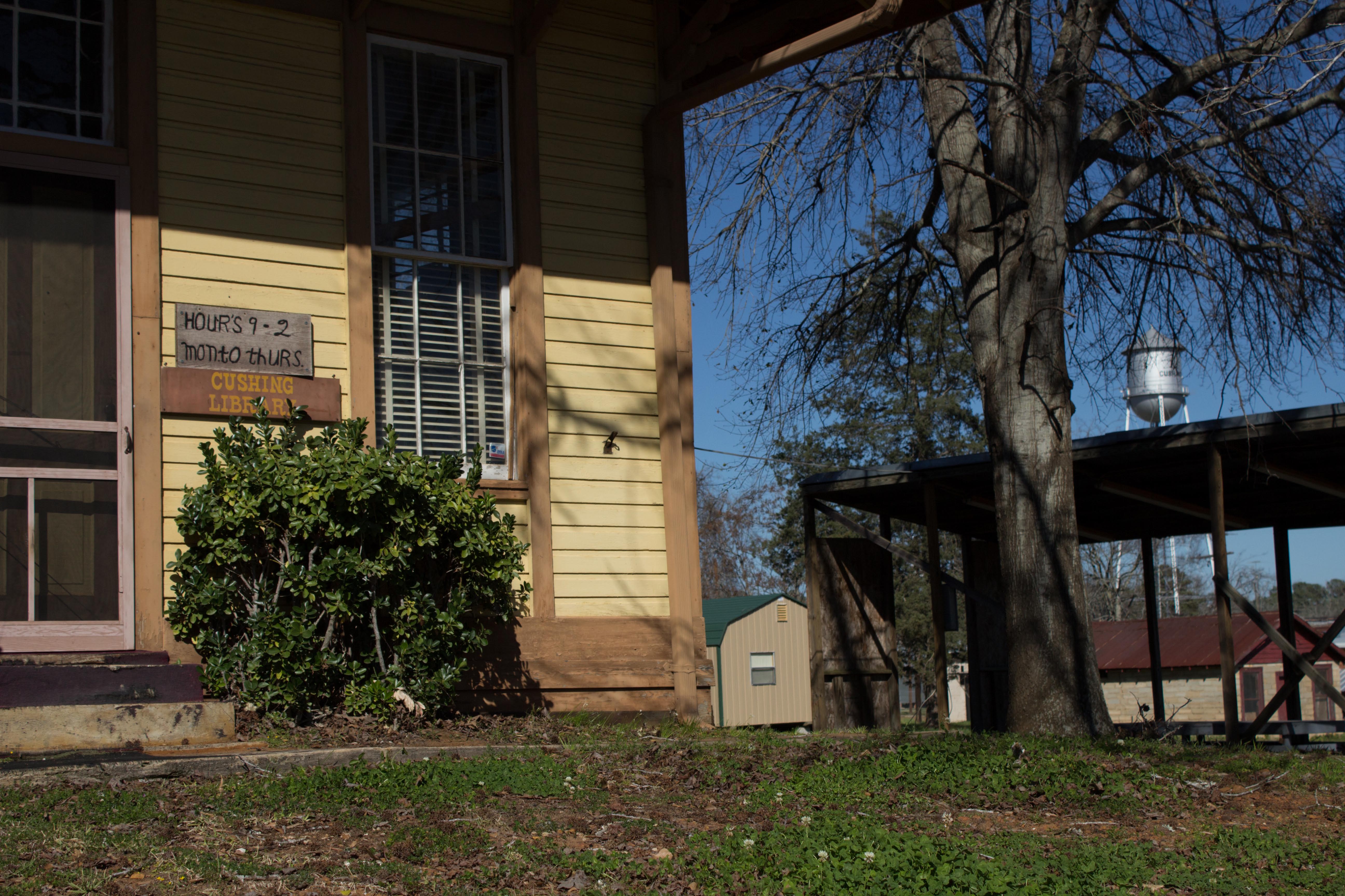
Cushing Library
Topographic Map of Cushing, TX, USA
Find elevation by address:

Places in Cushing, TX, USA:
Places near Cushing, TX, USA:
Button Mountain
FM, Cushing, TX, USA
Co Rd, Nacogdoches, TX, USA
Douglass
Reklaw
12061 Tx-21
511 County Rd 783
511 County Rd 783
FM, Laneville, TX, USA
US-, Nacogdoches, TX, USA
977 Co Rd 1322
Mount Enterprise
10317 Us-259
5575 Co Rd 1201
TX-, Reklaw, TX, USA
12475 Tx-21
US-79, Henderson, TX, USA
304 Karle St
304 Karle St
304 Karle St
Recent Searches:
- Elevation of Corso Fratelli Cairoli, 35, Macerata MC, Italy
- Elevation of Tallevast Rd, Sarasota, FL, USA
- Elevation of 4th St E, Sonoma, CA, USA
- Elevation of Black Hollow Rd, Pennsdale, PA, USA
- Elevation of Oakland Ave, Williamsport, PA, USA
- Elevation of Pedrógão Grande, Portugal
- Elevation of Klee Dr, Martinsburg, WV, USA
- Elevation of Via Roma, Pieranica CR, Italy
- Elevation of Tavkvetili Mountain, Georgia
- Elevation of Hartfords Bluff Cir, Mt Pleasant, SC, USA