Elevation of FM, Cleveland, TX, USA
Location: United States > Texas > San Jacinto County >
Longitude: -95.227404
Latitude: 30.480338
Elevation: 71m / 233feet
Barometric Pressure: 100KPa
Elevation Map:
Satellite Map:
Related Photos:

Double Lake

Cabin View

Frozen Color
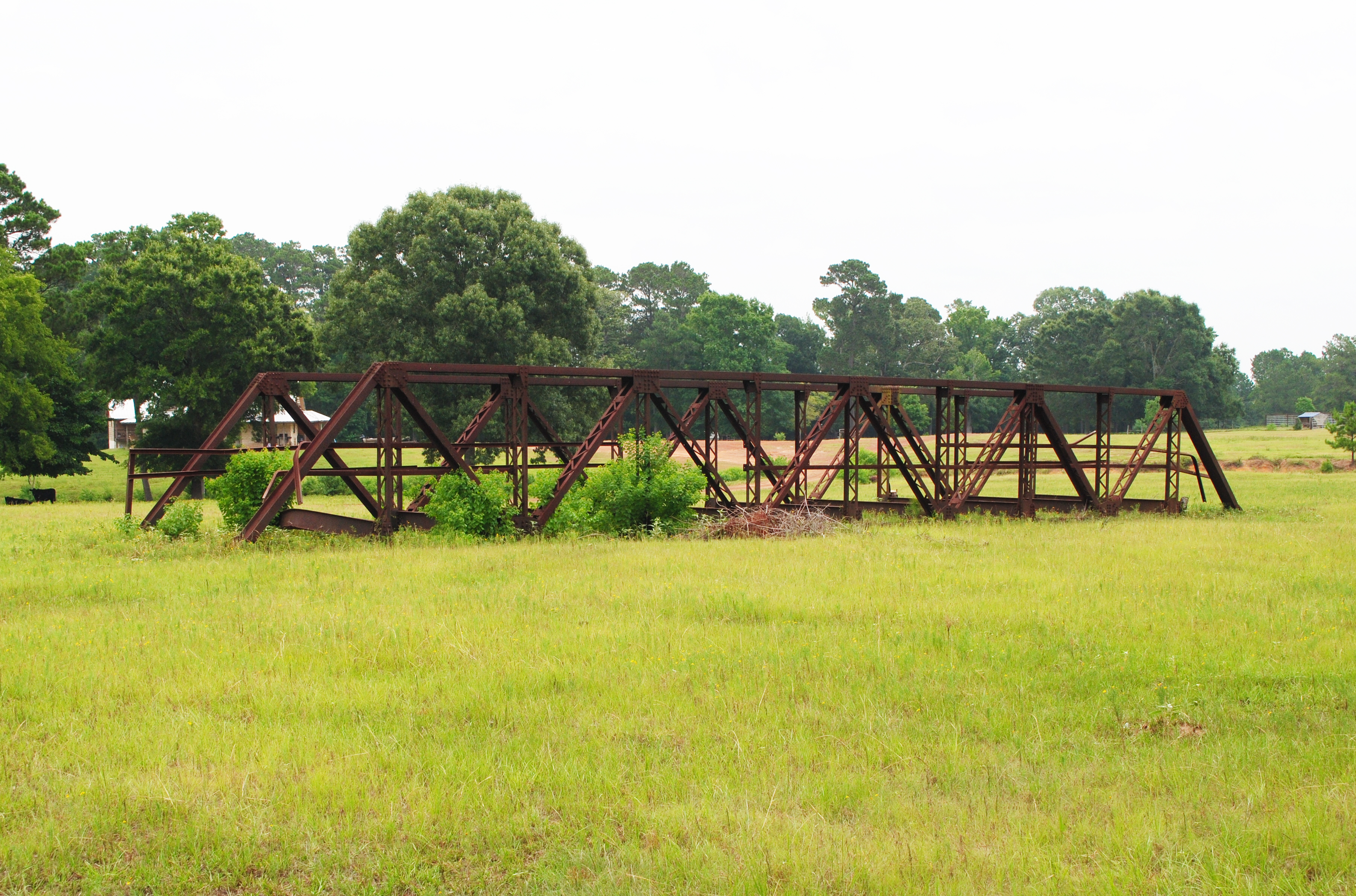
Pony Truss Bridge, Formerly Carrying Tony Tap Road over Winters Bayou, Cleveland, Texas 1306151152
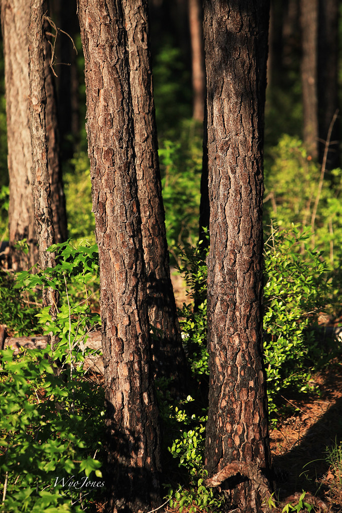
Can't See the Forest For the Trees

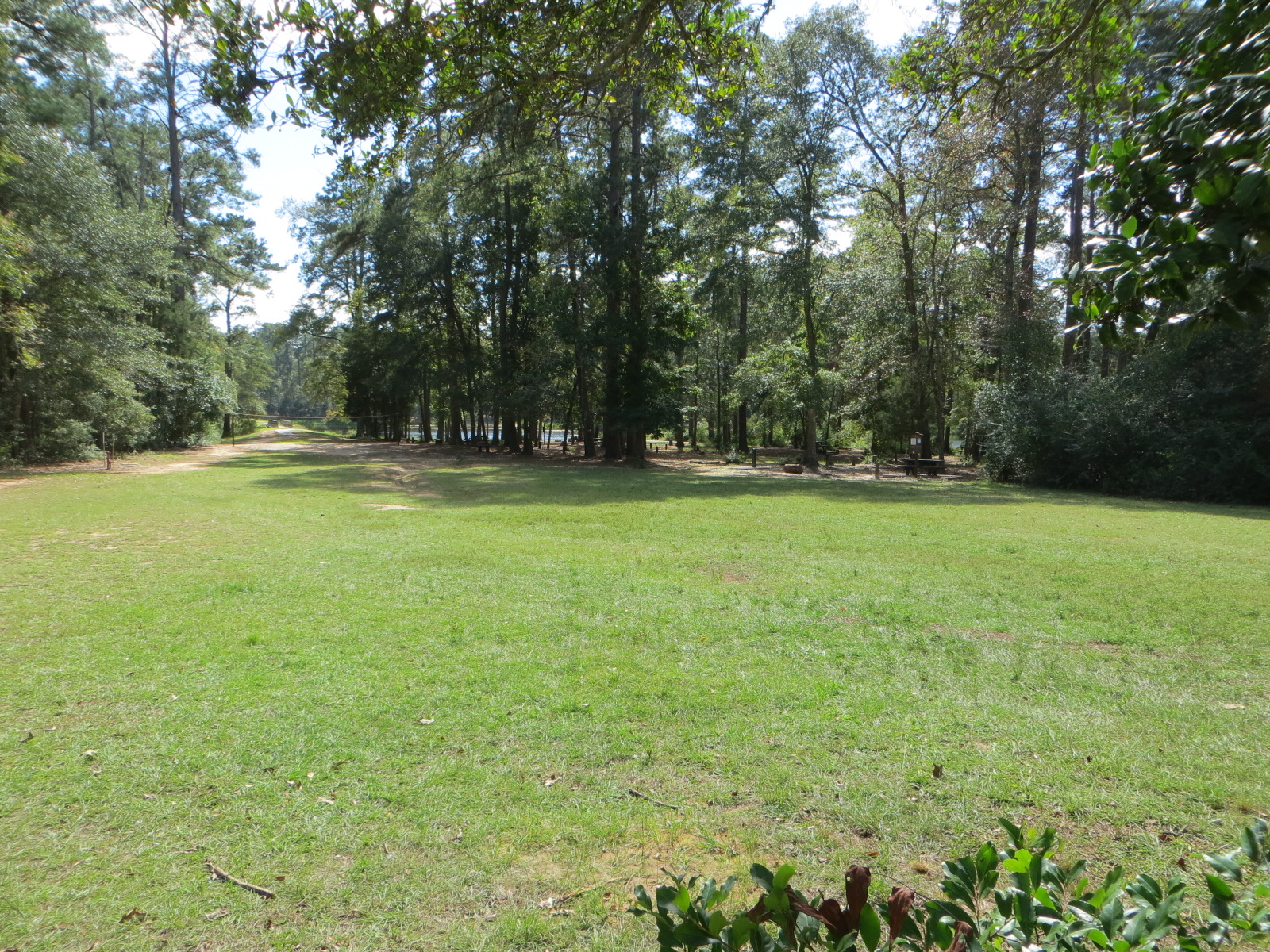
Double Lake Campground, Texas

Double Lake Campground, Texas

Double Lake Campground, Texas

Double Lake Example Water and Electric Site

Double Lake with actual water in it.
Double Lake Group Sites on Lake

20100925-sam_houston14

Double Lake

Double Lake

Coldspring TX 12-1-12 10400

Double Lake

Double Lake
Double Lake

Double Lake

Double Lake

Double Lake

Double Lake
Topographic Map of FM, Cleveland, TX, USA
Find elevation by address:

Places near FM, Cleveland, TX, USA:
500 Mcadams Vann Rd
280 Denson Reed Rd
280 Denson Reed Rd
West Double Creek
165 Evergreen Heights Rd
TX-, Coldspring, TX, USA
2001 Brown Rd
San Jacinto County
16196 Cedar Ln Loop
21126 Rock Pigeon
21110 Rock Pigeon
15542 China Grove Ln
14897 Cedar Ln Loop
14897 Cedar Ln Loop
10647 Greenridge Rd
J J Lane
Waverly
690 Ellisor Rd
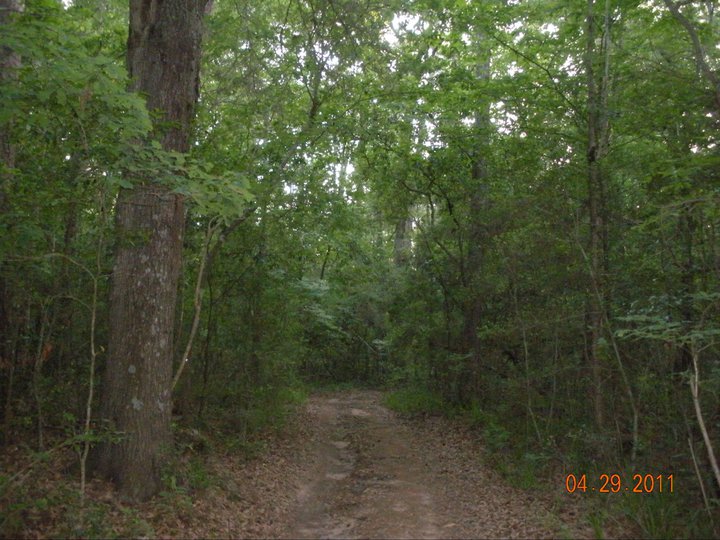
Sam Houston National Forest
Coldspring
Recent Searches:
- Elevation of Corso Fratelli Cairoli, 35, Macerata MC, Italy
- Elevation of Tallevast Rd, Sarasota, FL, USA
- Elevation of 4th St E, Sonoma, CA, USA
- Elevation of Black Hollow Rd, Pennsdale, PA, USA
- Elevation of Oakland Ave, Williamsport, PA, USA
- Elevation of Pedrógão Grande, Portugal
- Elevation of Klee Dr, Martinsburg, WV, USA
- Elevation of Via Roma, Pieranica CR, Italy
- Elevation of Tavkvetili Mountain, Georgia
- Elevation of Hartfords Bluff Cir, Mt Pleasant, SC, USA