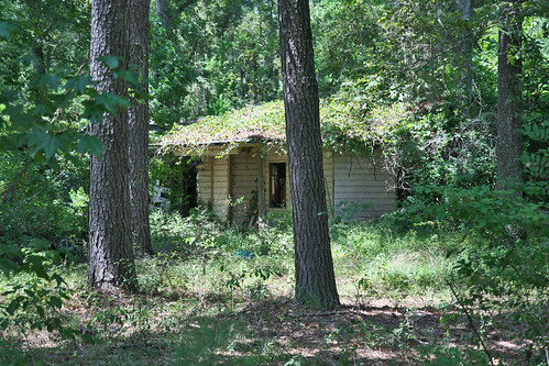
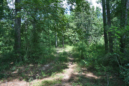
Elevation of Rock Pigeon, Cleveland, TX, USA
Location: United States > Texas > Montgomery County >
Longitude: -95.239515
Latitude: 30.365136
Elevation: 66m / 217feet
Barometric Pressure: 101KPa
Related Photos:
Topographic Map of Rock Pigeon, Cleveland, TX, USA
Find elevation by address:

Places near Rock Pigeon, Cleveland, TX, USA:
21110 Rock Pigeon
998 Pioneer Ln
998 Pioneer Ln
988 Pioneer Ln
2902 Peach Creek Valley Dr
2992 Peach Creek Valley Dr
2998 Peach Creek Valley Dr
2101 Peach Creek Valley Dr
2901 Peach Creek Valley Dr
19011 Jennifer Ln
TX-, Cleveland, TX, USA
9891 Fosters Bend
11438 Crossno Dr
Morgan Drive
14555 Huff Rd
79 County Rd, Cleveland, TX, USA
530 Wells Ave
710 River St
1626 U.s. 59 N Bypass
1000 County Rd 319
Recent Searches:
- Elevation of Corso Fratelli Cairoli, 35, Macerata MC, Italy
- Elevation of Tallevast Rd, Sarasota, FL, USA
- Elevation of 4th St E, Sonoma, CA, USA
- Elevation of Black Hollow Rd, Pennsdale, PA, USA
- Elevation of Oakland Ave, Williamsport, PA, USA
- Elevation of Pedrógão Grande, Portugal
- Elevation of Klee Dr, Martinsburg, WV, USA
- Elevation of Via Roma, Pieranica CR, Italy
- Elevation of Tavkvetili Mountain, Georgia
- Elevation of Hartfords Bluff Cir, Mt Pleasant, SC, USA


