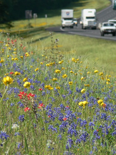
Elevation of Cedar Ln Loop, Willis, TX, USA
Location: United States > Texas > Willis >
Longitude: -95.347287
Latitude: 30.4497517
Elevation: 98m / 322feet
Barometric Pressure: 100KPa
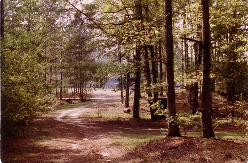
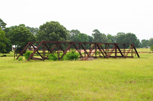
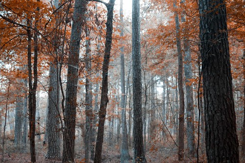
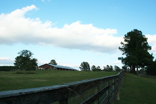
Related Photos:
Topographic Map of Cedar Ln Loop, Willis, TX, USA
Find elevation by address:

Places near Cedar Ln Loop, Willis, TX, USA:
14897 Cedar Ln Loop
15542 China Grove Ln
16196 Cedar Ln Loop
2001 Brown Rd
Royal Creek Road
1306 Royal Green Dr
West Double Creek
Waverly
Sam Houston National Forest
13962 Rose Rd
14090 Fm 1097
14090 Fm 1097
9088 N Comanche Cir
9032 Zapata Way
Bee Creek Drive
5493 Bee Creek Dr
14572 Hasara Ln
18288 Rogers Rd
690 Ellisor Rd
200 N Bell St
Recent Searches:
- Elevation of Corso Fratelli Cairoli, 35, Macerata MC, Italy
- Elevation of Tallevast Rd, Sarasota, FL, USA
- Elevation of 4th St E, Sonoma, CA, USA
- Elevation of Black Hollow Rd, Pennsdale, PA, USA
- Elevation of Oakland Ave, Williamsport, PA, USA
- Elevation of Pedrógão Grande, Portugal
- Elevation of Klee Dr, Martinsburg, WV, USA
- Elevation of Via Roma, Pieranica CR, Italy
- Elevation of Tavkvetili Mountain, Georgia
- Elevation of Hartfords Bluff Cir, Mt Pleasant, SC, USA
