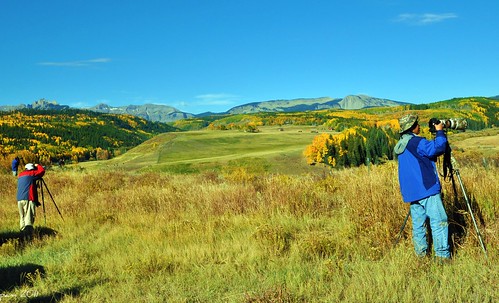
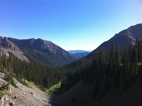
Elevation of Flat Top, Colorado, USA
Location: United States > Colorado > Gunnison County > Crested Butte >
Longitude: -106.90893
Latitude: 38.7102711
Elevation: 3225m / 10581feet
Barometric Pressure: 68KPa
Related Photos:
Topographic Map of Flat Top, Colorado, USA
Find elevation by address:

Places near Flat Top, Colorado, USA:
County Road 6
264 Squaw Gulch Rd
Crested Butte South
195 Anderson Dr
Gunnison County
Whetstone Mountain
Deer Trail
379 Smith Rd
Castle Dr, Gunnison, CO, USA
53 Willow Ct
13 Dorchester St
Quartz Street
County Road, Gunnison, CO, USA
Carbon Peak
415 Arthur Ave
Western Colorado University
Gunnison County Administration
Gunnison
1313 W Ohio Ave
102 Taloga Rd
Recent Searches:
- Elevation of Corso Fratelli Cairoli, 35, Macerata MC, Italy
- Elevation of Tallevast Rd, Sarasota, FL, USA
- Elevation of 4th St E, Sonoma, CA, USA
- Elevation of Black Hollow Rd, Pennsdale, PA, USA
- Elevation of Oakland Ave, Williamsport, PA, USA
- Elevation of Pedrógão Grande, Portugal
- Elevation of Klee Dr, Martinsburg, WV, USA
- Elevation of Via Roma, Pieranica CR, Italy
- Elevation of Tavkvetili Mountain, Georgia
- Elevation of Hartfords Bluff Cir, Mt Pleasant, SC, USA


