Elevation of Deer Trail, Colorado, USA
Location: United States > Colorado > Gunnison >
Longitude: -106.96811
Latitude: 38.5770814
Elevation: 2439m / 8002feet
Barometric Pressure: 75KPa
Elevation Map:
Satellite Map:
Related Photos:
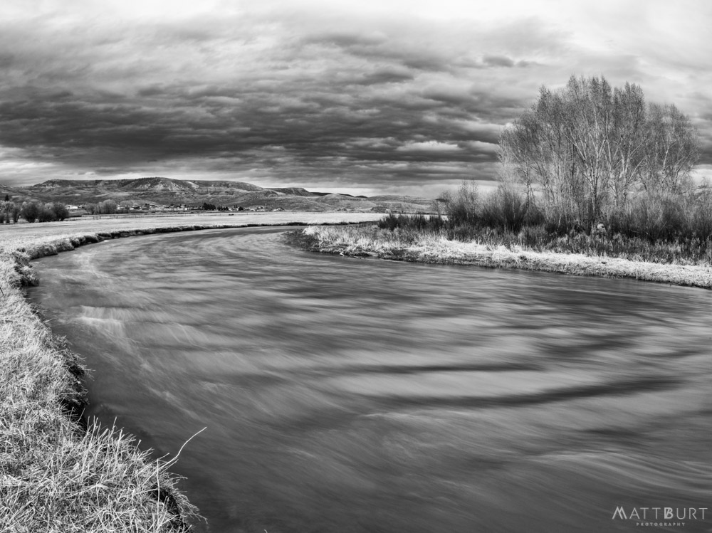
IMGP1293-Edit
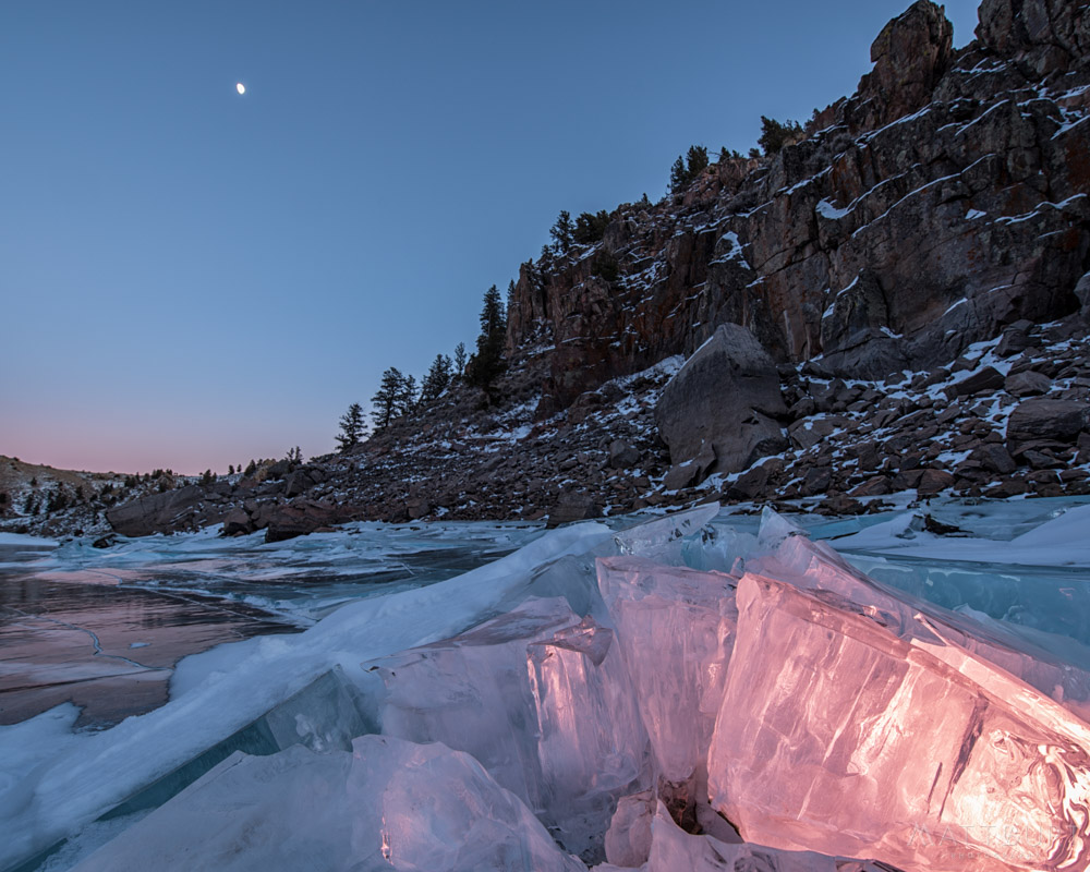
IMGP1036-Edit
hiking at Hartman Rocks this morning...
IMGP1035-Edit

Room with a view
A view of Blue Mesa Reservoir | Curecanti National Recreation Area, CO | May, 2012

IMGP3137-Edit-2.jpg

IMGP6421.jpg
View from Up Top at Hartman Rocks

IMGP3797.jpg
Westward View from Atop Hartman Ridge
North View from The Ridge at Hartman Rocks

Autumn Hay Bales

Western Colorado State University: old Library
Base Area Ridge Viewed from the North Rim

Northeast View from Hartman Rocks
IMGP3324-Edit

IMGP1964-HDR-Edit
IMGP2333-Edit
IMGP7107-Edit
IMGP4969-Edit

IMGP2368-Edit
IMGP1161-Edit
IMGP0030-Edit
IMGP3941-Edit
IMGP9360-Edit
IMGP2828-Edit
IMGP1274-Edit
IMGP4148.jpg

IMGP0208-Edit
IMGP0256-Edit
IMGP2588-Edit
IMGP2516-Edit-2

IMGP0292-Edit
IMGP4879-Edit-2
IMGP0946-Edit
IMGP3730-Edit
Topographic Map of Deer Trail, Colorado, USA
Find elevation by address:

Places near Deer Trail, Colorado, USA:
1313 W Ohio Ave
Quartz Street
13 Dorchester St
415 Arthur Ave
701 W U.s. Hwy 50
Gunnison
Gunnison County Administration
Gunnison County Public Works
Western Colorado University
Gunnison County
Flat Top
County Road 6
County Road, Gunnison, CO, USA
Hwy, Gunnison, CO, USA
Castle Dr, Gunnison, CO, USA
Curecanti National Recreation Area
102 Taloga Rd
Carbon Peak
264 Squaw Gulch Rd
County Road 723
Recent Searches:
- Elevation of Corso Fratelli Cairoli, 35, Macerata MC, Italy
- Elevation of Tallevast Rd, Sarasota, FL, USA
- Elevation of 4th St E, Sonoma, CA, USA
- Elevation of Black Hollow Rd, Pennsdale, PA, USA
- Elevation of Oakland Ave, Williamsport, PA, USA
- Elevation of Pedrógão Grande, Portugal
- Elevation of Klee Dr, Martinsburg, WV, USA
- Elevation of Via Roma, Pieranica CR, Italy
- Elevation of Tavkvetili Mountain, Georgia
- Elevation of Hartfords Bluff Cir, Mt Pleasant, SC, USA