Elevation of Fincastle, VA, USA
Location: United States > Virginia > Botetourt County >
Longitude: -79.852081
Latitude: 37.6465362
Elevation: 296m / 971feet
Barometric Pressure: 98KPa
Elevation Map:
Satellite Map:
Related Photos:
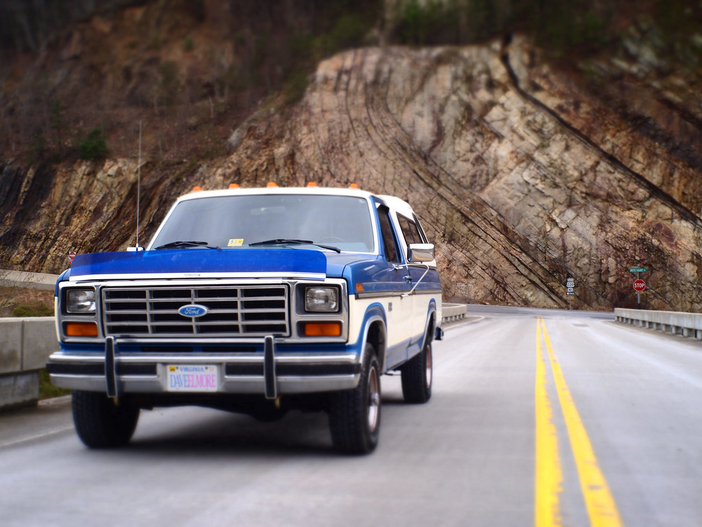
Henry the truck
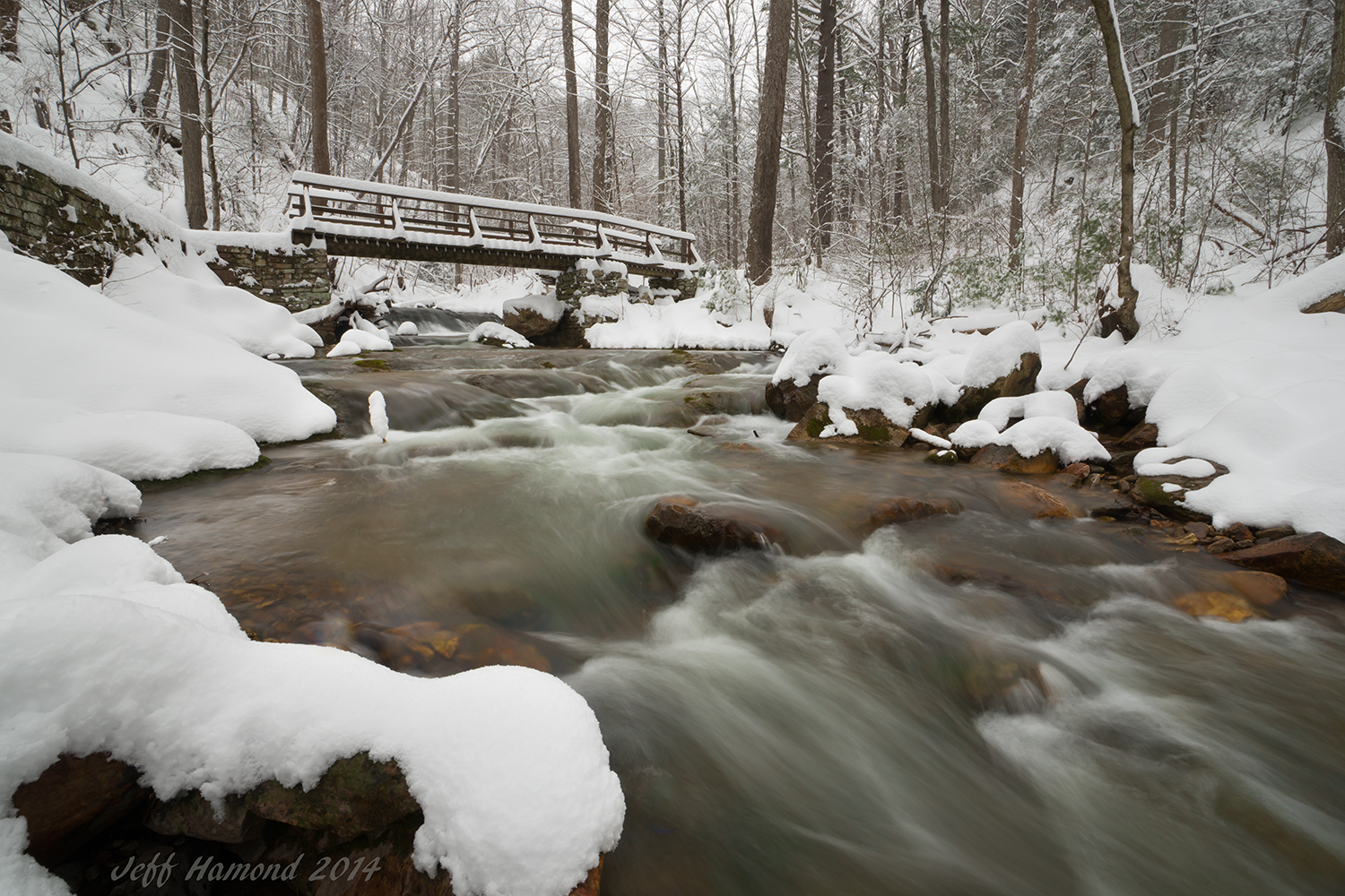
Trail Bridge
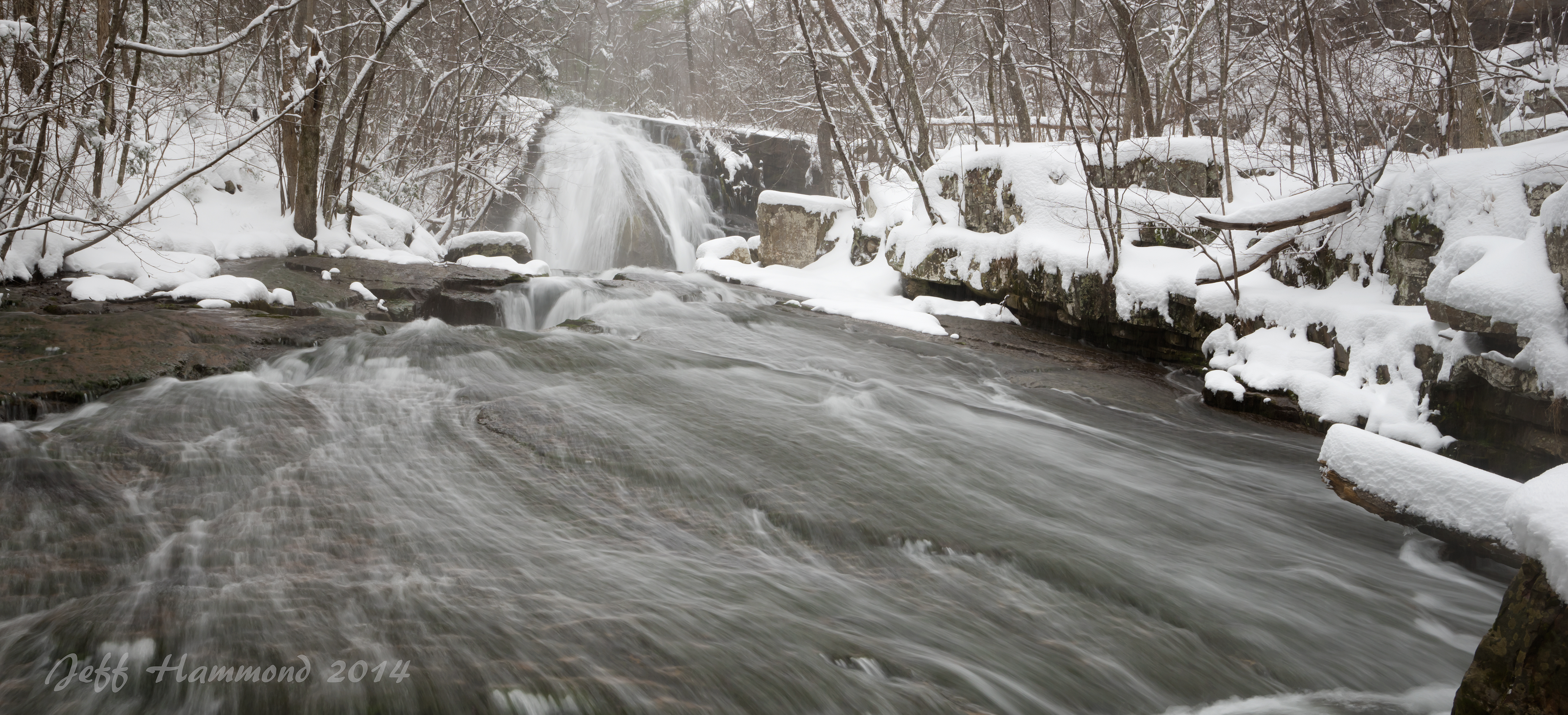
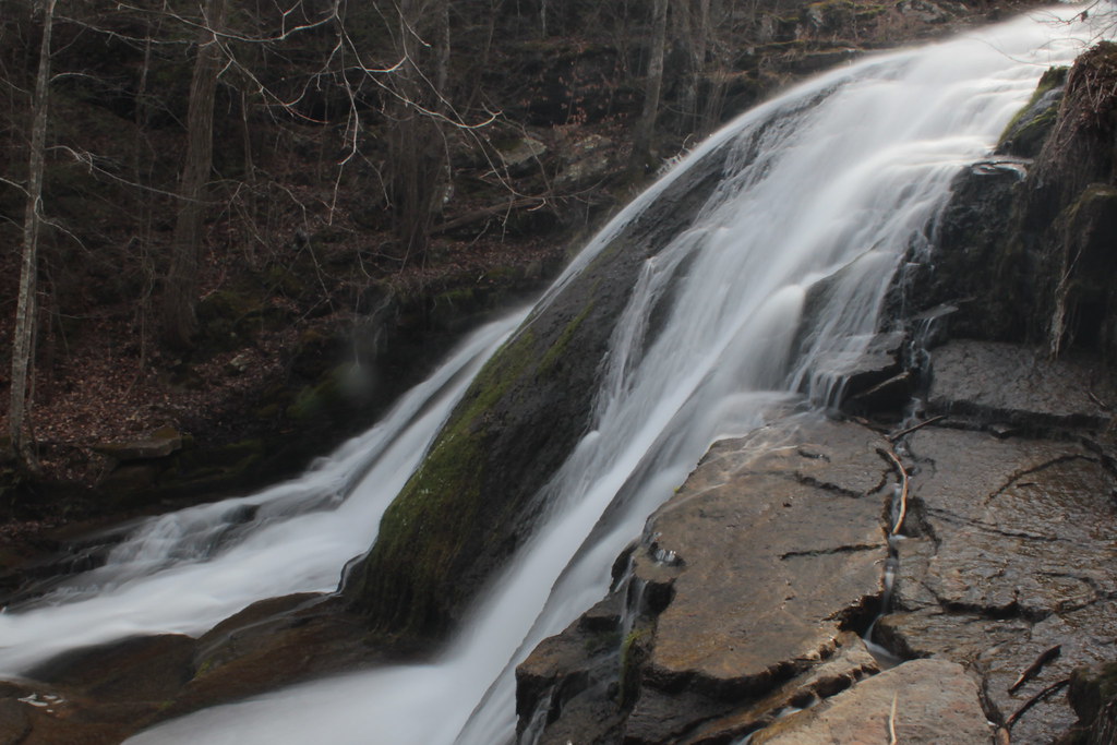
Roaring Run Falls

Halysidota tessellaris, Banded tussock moth, Eagle Rock, Virginia
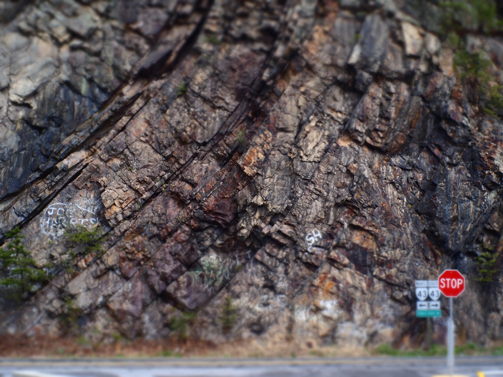
Big Rock Face

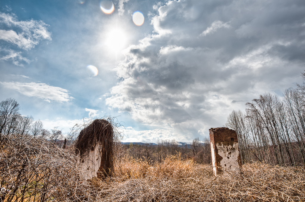
Price's Bluff
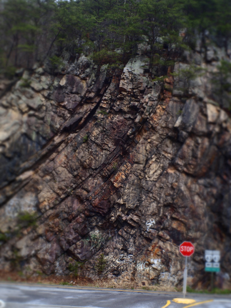
Big Rock Face
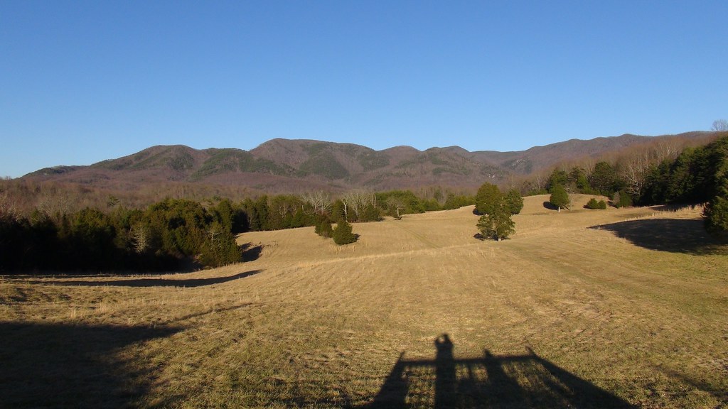
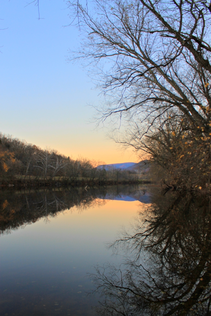
View from Blue Ridge Vineyard
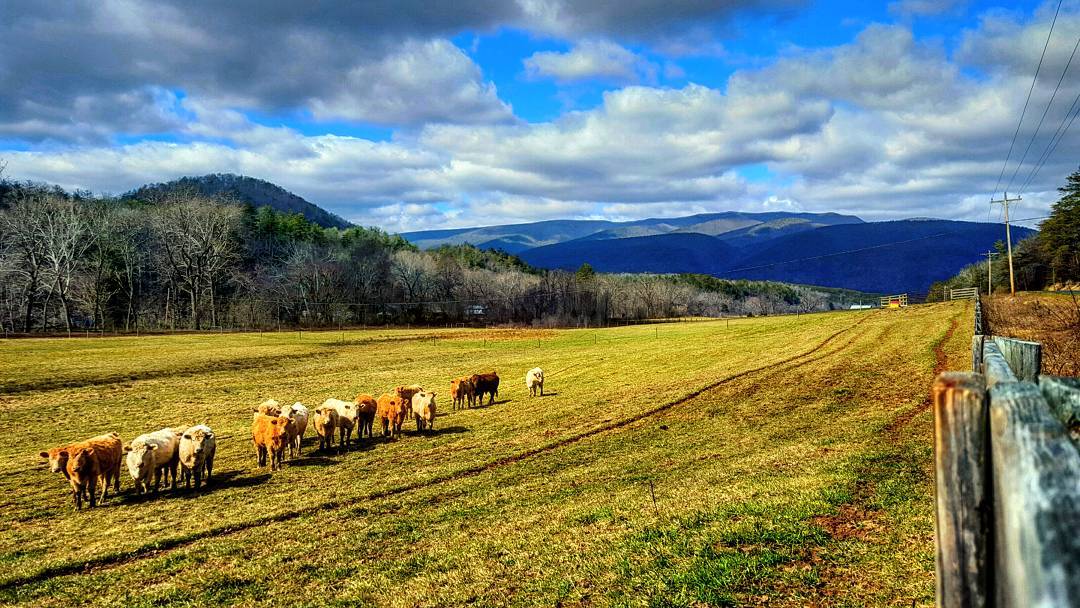
I was on my way to another waterfall when I stopped here to take a picture. When I came up to the fence I was surprised to see all of these cows coming towards me! I mooed at them and one of them actually mooed back at me!! ????#virginia #cows
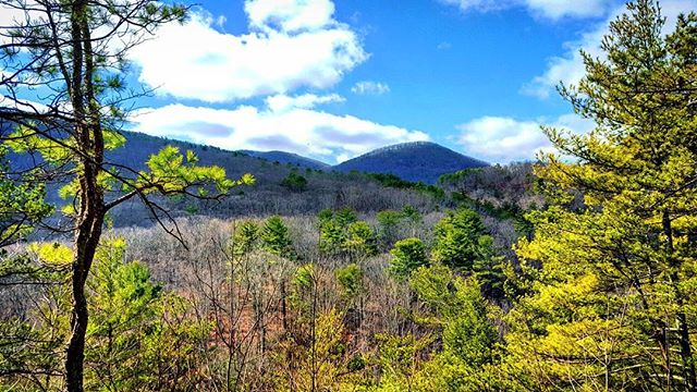
The most green I've seen in...
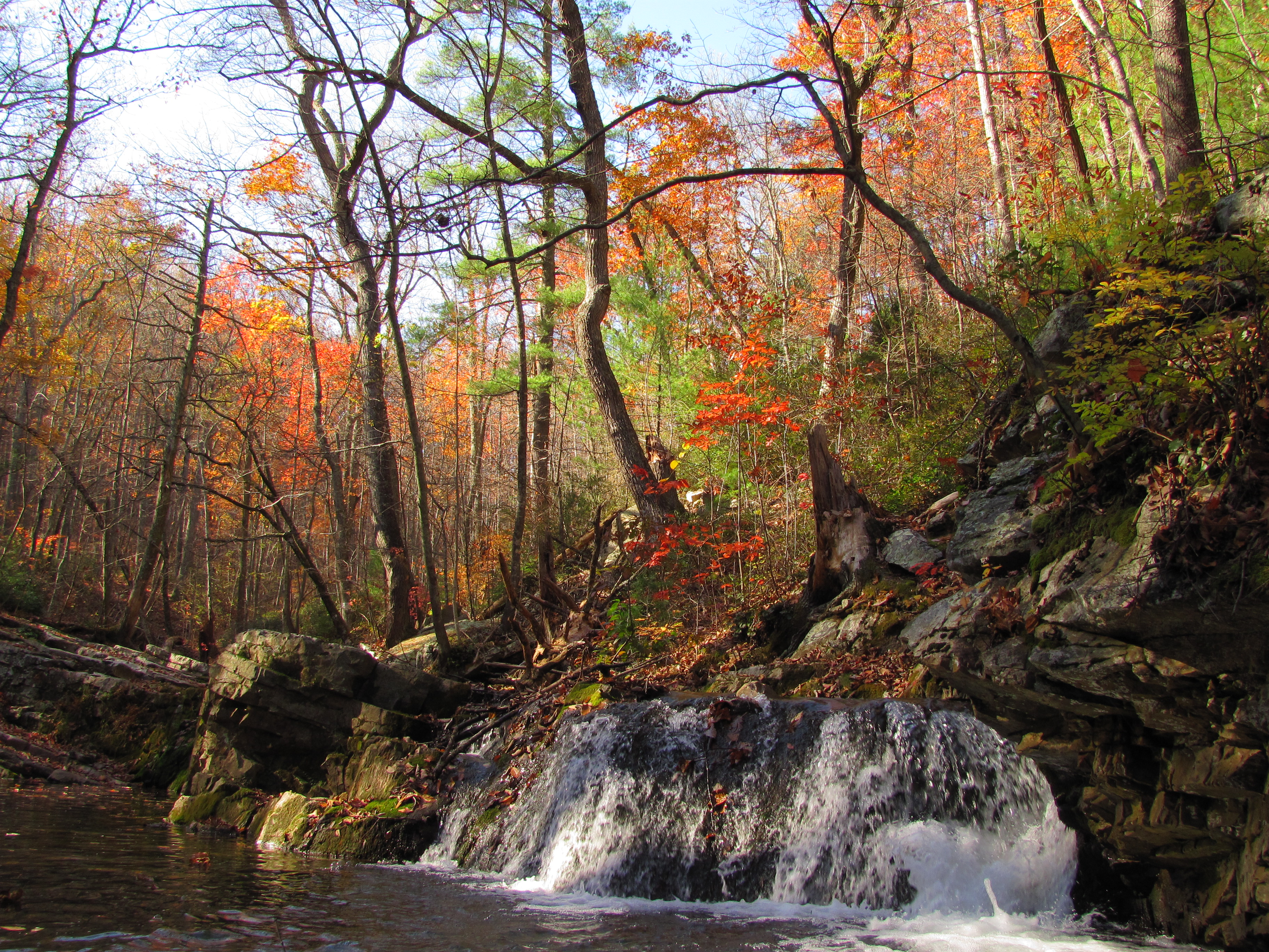
A Fine Day
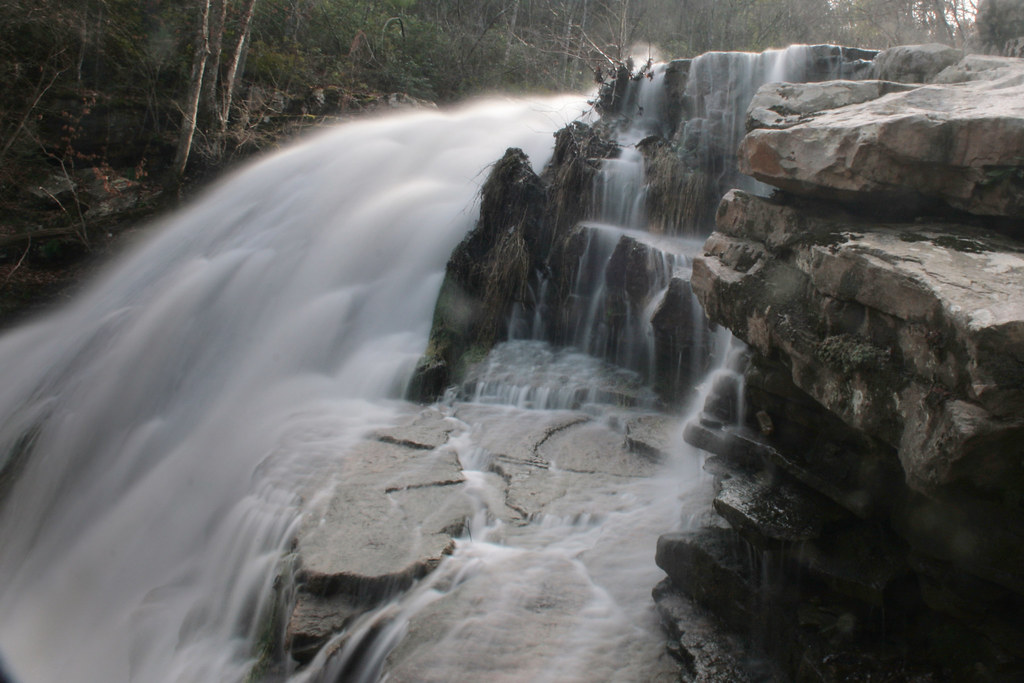
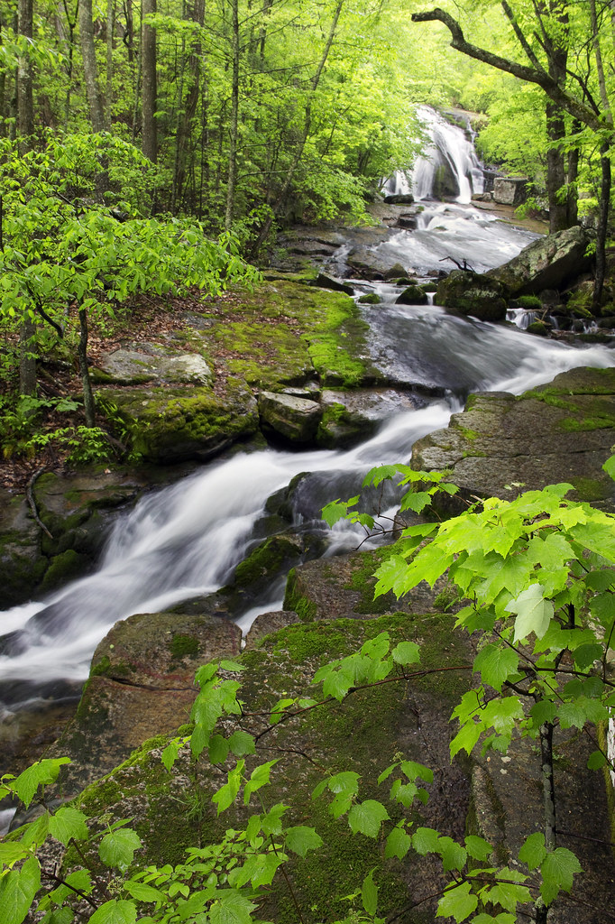
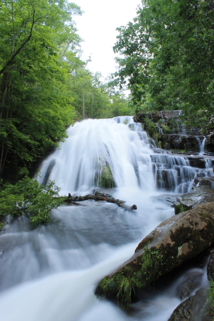
Roaring Run Water Fall
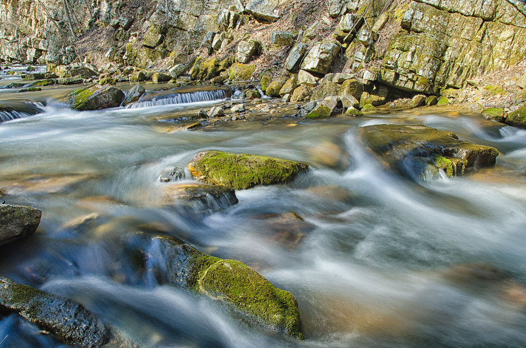
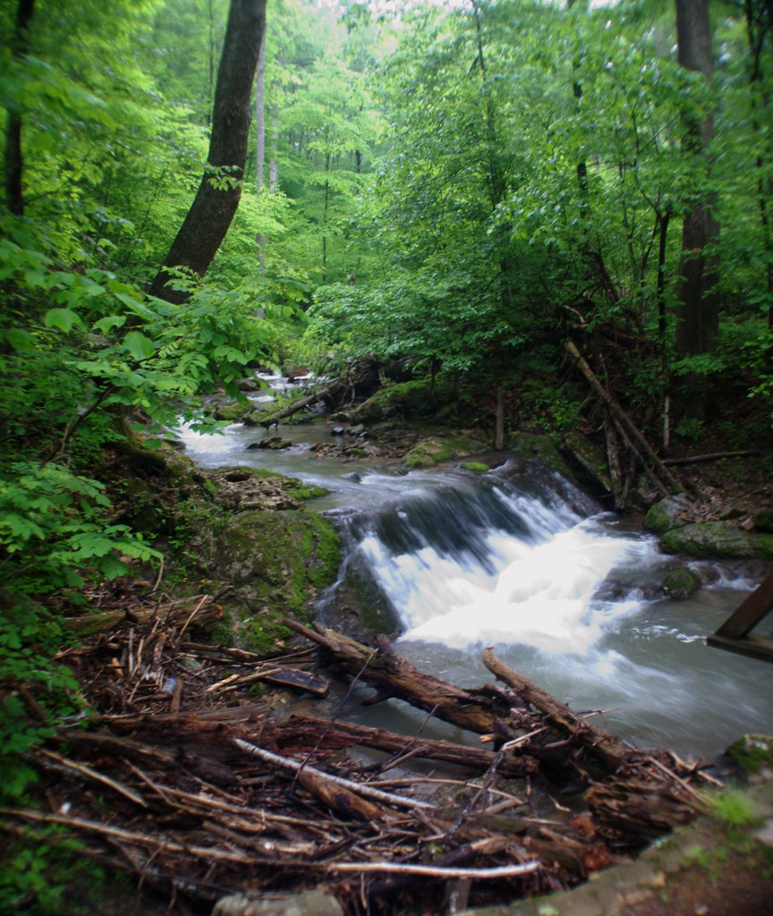
Roaring Run Falls
Early Spring At Roaring Run
2-RoaringRun
Roaring Run Falls
2-RoaringRunPan
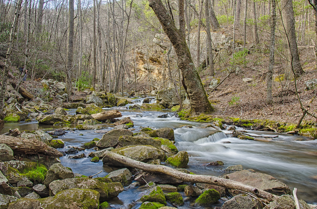
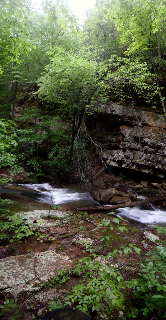
roaring run
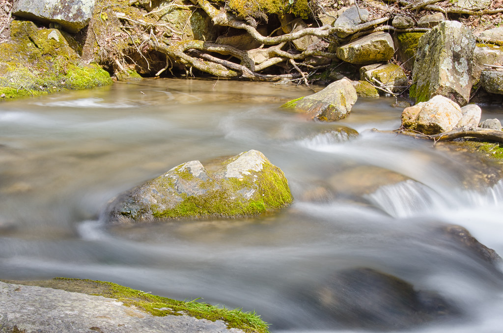
Lazy River
Day-- 62 Roaring Run Water Fall

Day 128 -- Roaring Run
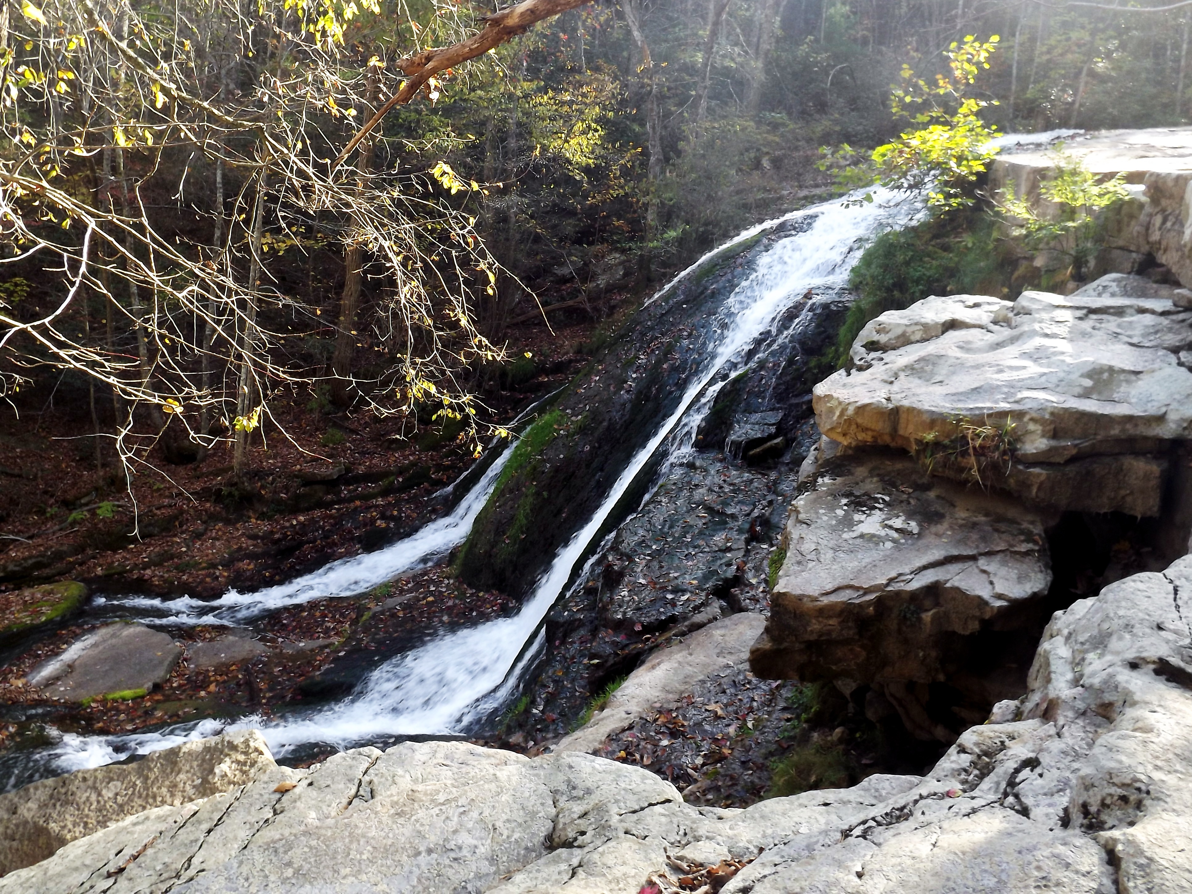
Roaring Run Waterfall
2-Ice&Water
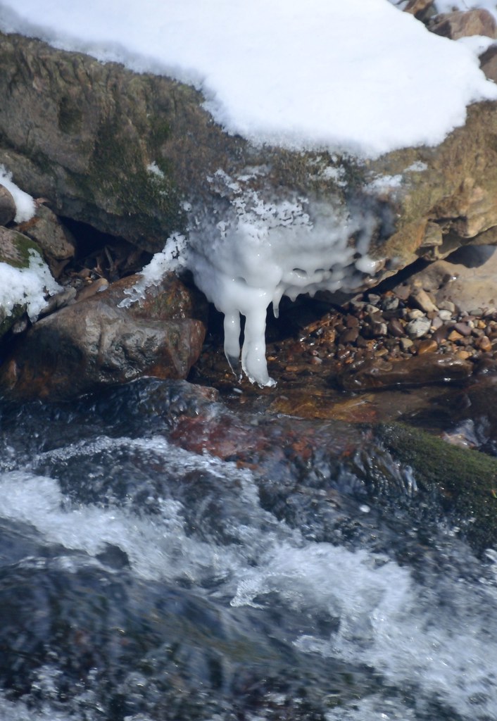
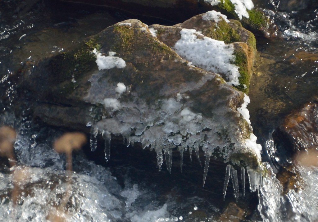
2-RoaringRunIcicles
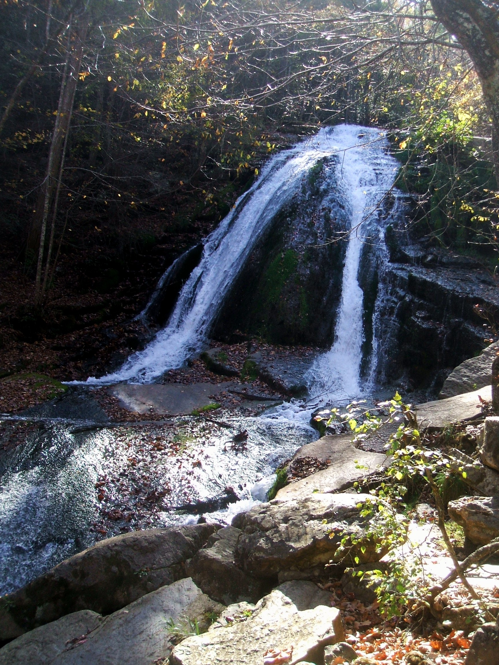
Roaring Run Waterfall, VA
Stand Still

Roaring Run Small Falls
Three Moon Lignite
Topographic Map of Fincastle, VA, USA
Find elevation by address:

Places in Fincastle, VA, USA:
Places near Fincastle, VA, USA:
Fincastle
1074 Ball Park Rd
3357 Ball Park Rd
129 Roaring Run Rd
15 Roaring Run Rd
Craig Creek Rd, Eagle Rock, VA, USA
Wood Town Rd, Eagle Rock, VA, USA
Jackson River
4700 Hayes Gap Rd
4103 Rich Patch Rd
Jamison Mountain Road
2809 Jamison Mountain Rd
642 Overlook Dr
1349 S David Ave
515 Hinkle Ln
Covington
Jordan Mines
Boiling Springs
8605 Mill Branch Rd
Recent Searches:
- Elevation of Corso Fratelli Cairoli, 35, Macerata MC, Italy
- Elevation of Tallevast Rd, Sarasota, FL, USA
- Elevation of 4th St E, Sonoma, CA, USA
- Elevation of Black Hollow Rd, Pennsdale, PA, USA
- Elevation of Oakland Ave, Williamsport, PA, USA
- Elevation of Pedrógão Grande, Portugal
- Elevation of Klee Dr, Martinsburg, WV, USA
- Elevation of Via Roma, Pieranica CR, Italy
- Elevation of Tavkvetili Mountain, Georgia
- Elevation of Hartfords Bluff Cir, Mt Pleasant, SC, USA