Elevation of Boiling Springs, VA, USA
Location: United States > Virginia > Alleghany County >
Longitude: -80.1428584
Latitude: 37.692413
Elevation: 877m / 2877feet
Barometric Pressure: 0KPa
Related Photos:
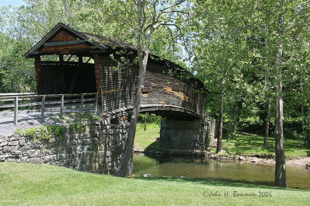
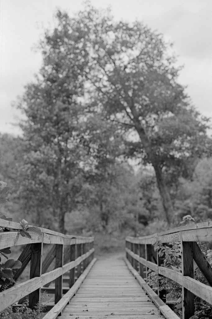
Humpback covered bridge - Virginia
Near Hematite Virginia

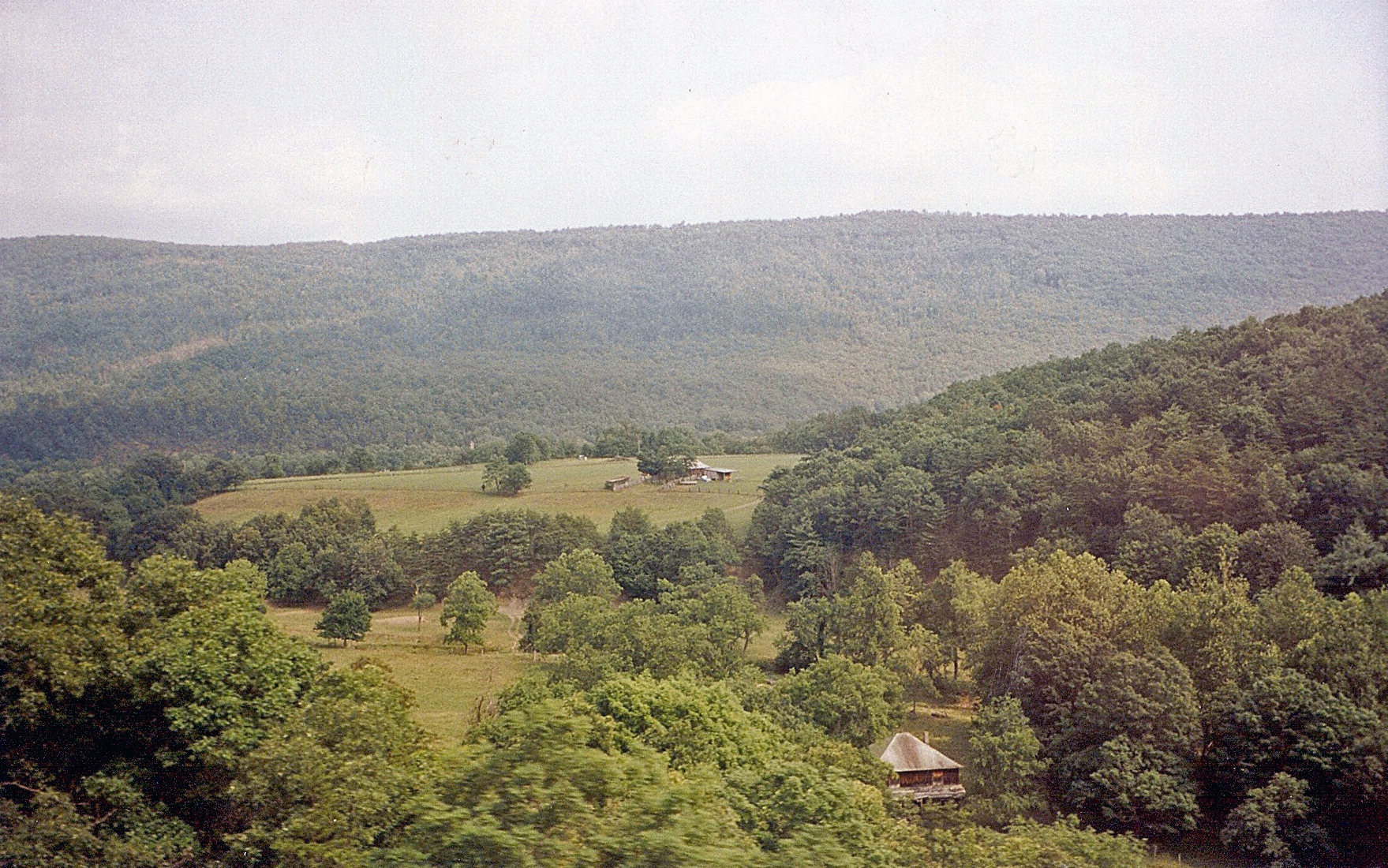
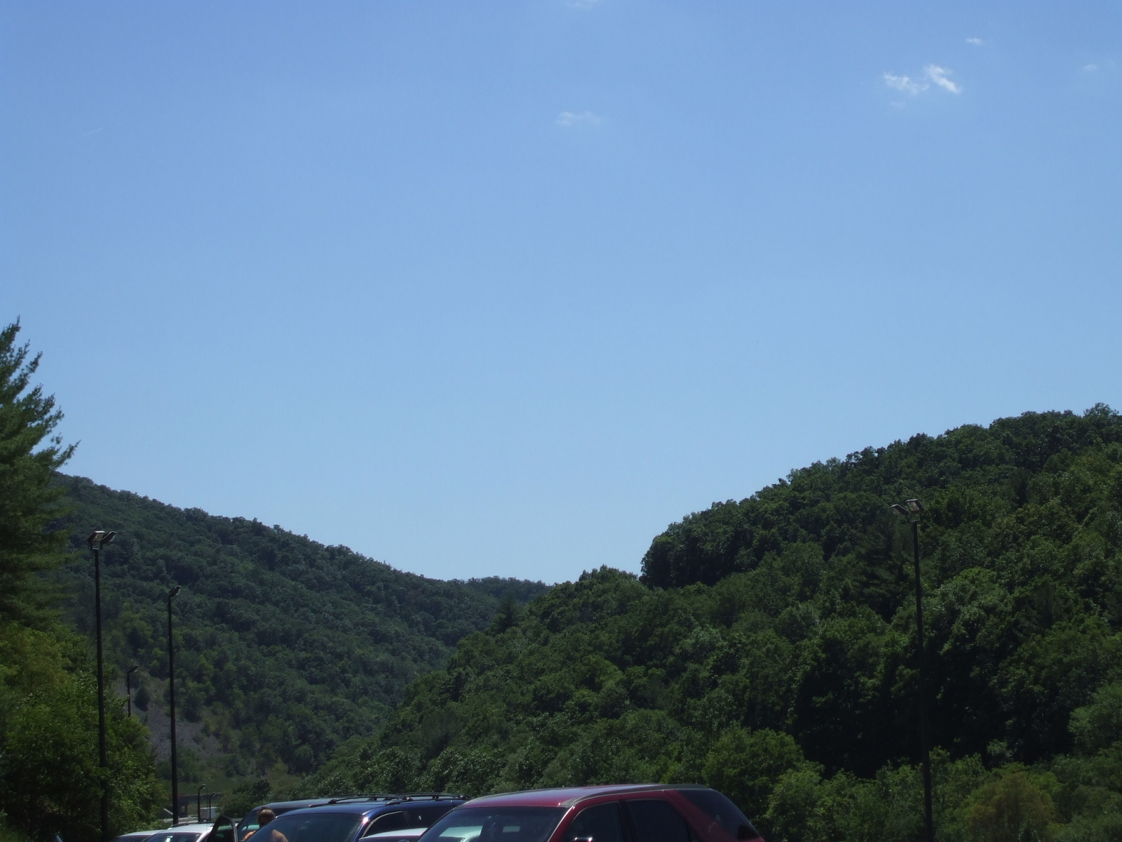
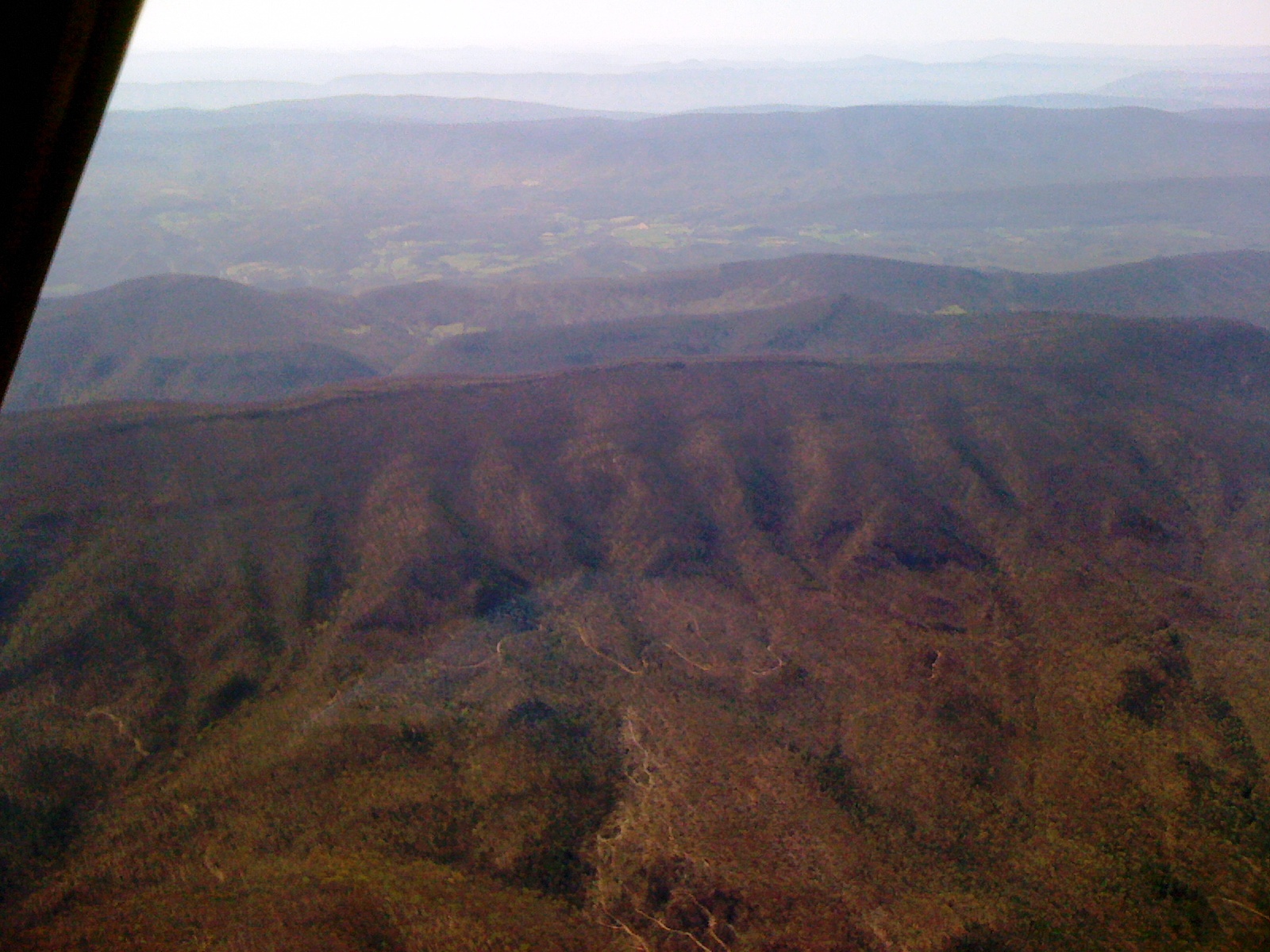
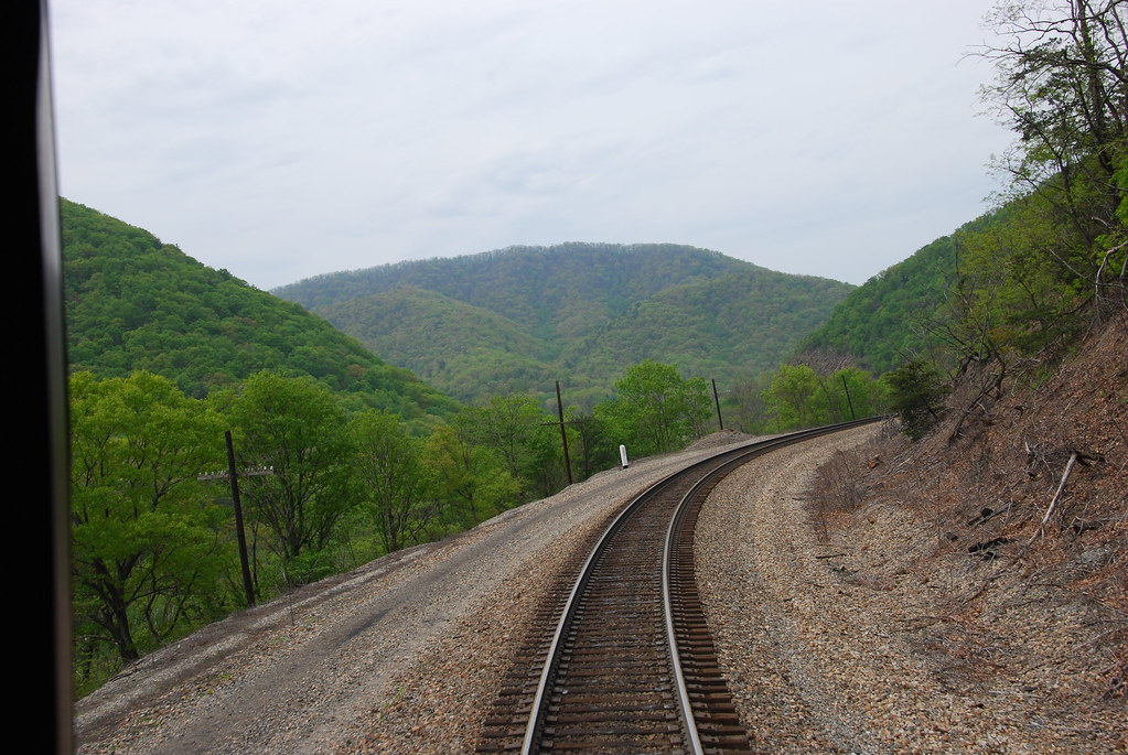
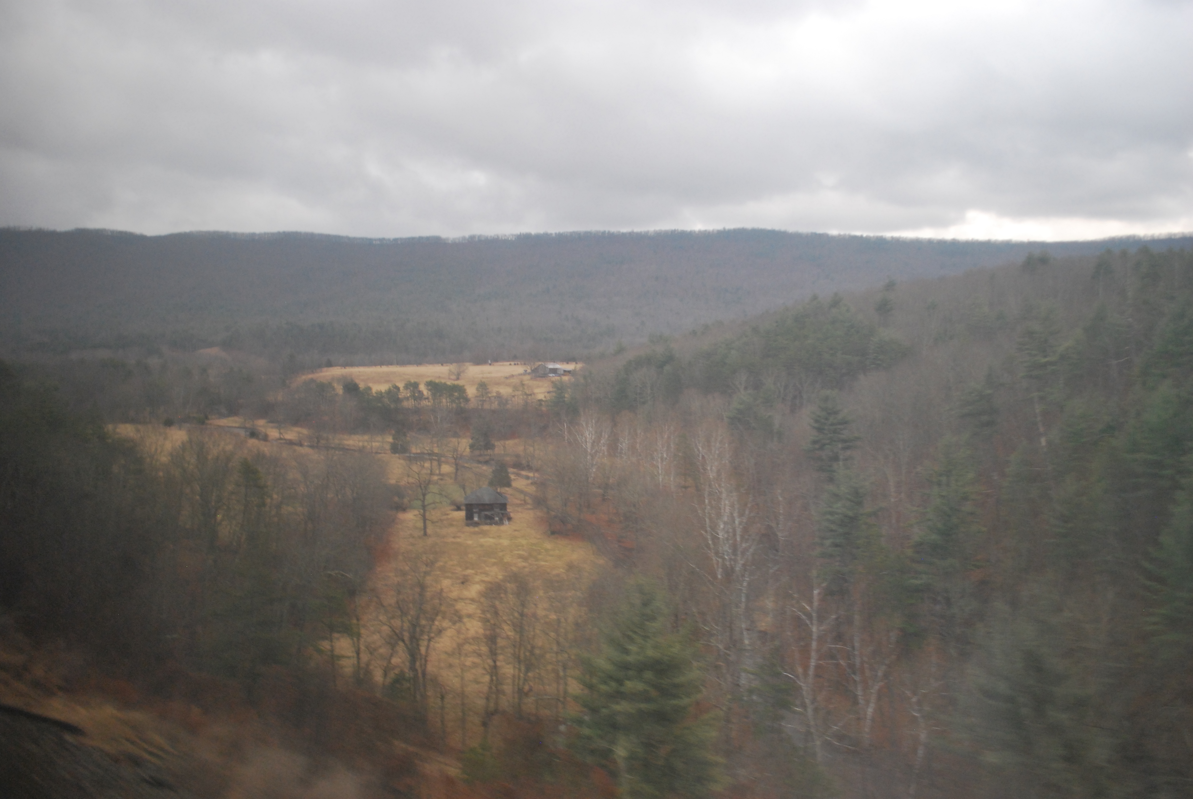
High in the Alleghenies in Virginia

Climbing the Alleghenies in the Fall of 2015
West Virginia: Greenbrier: coming down from Alleghany Tunnel

Not what I was hoping to find
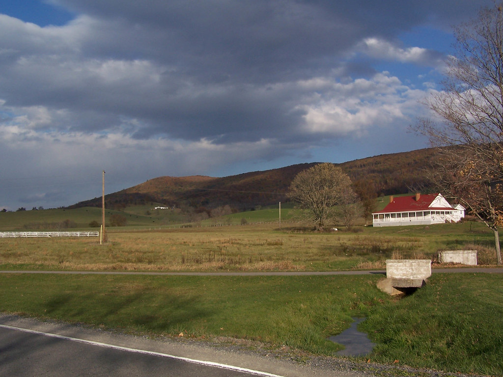
view from virginia welcome center
view from virginia welcome center
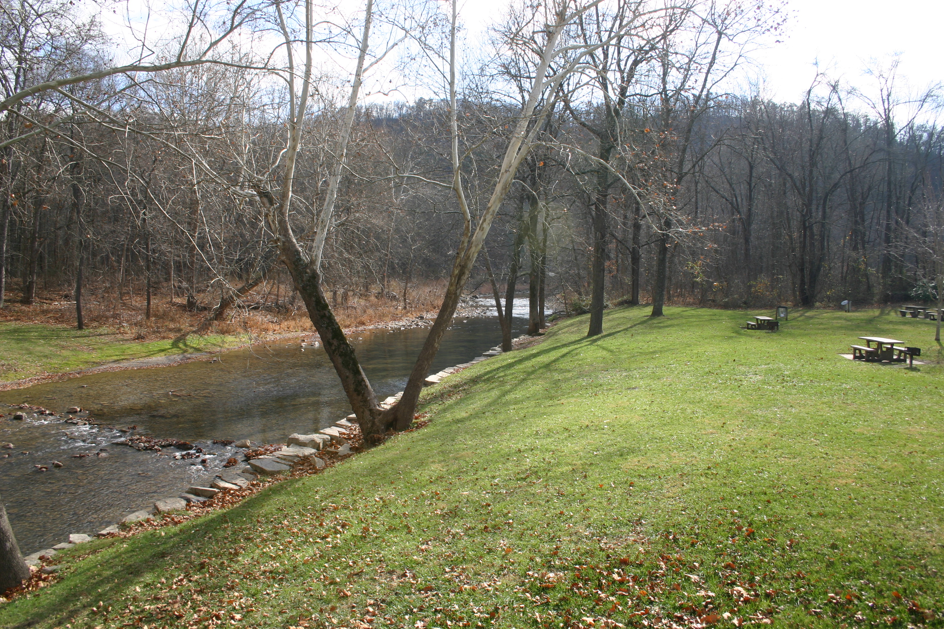
IMG_19490 - Covington VA - The view from the Humpback Covered Bridge over Dunlap Creek
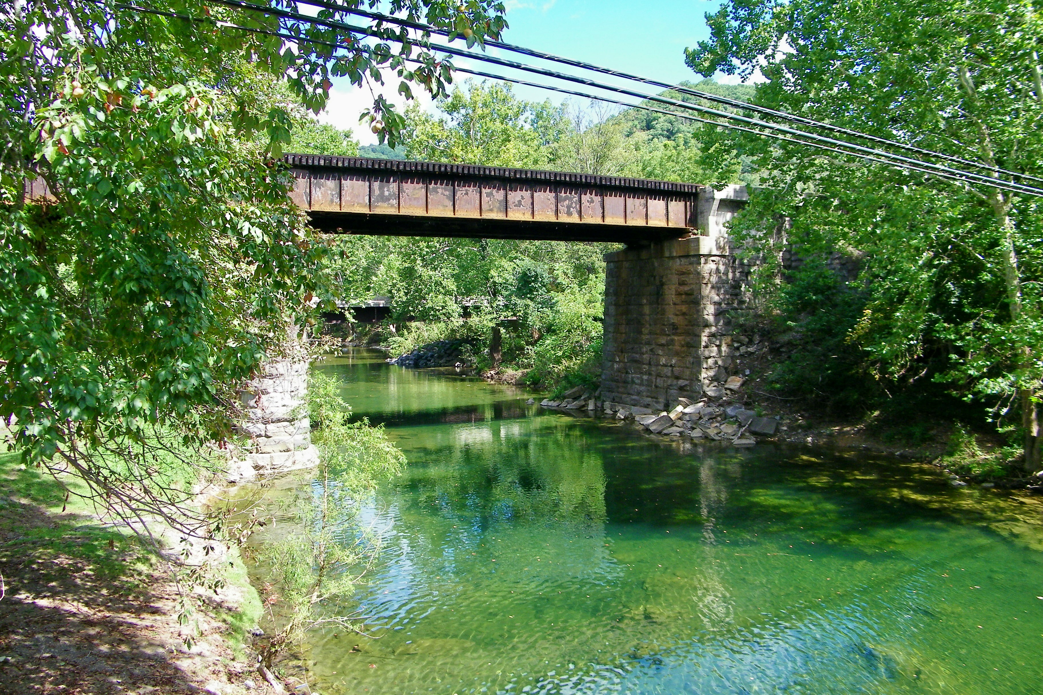
Railroad Trestle over Dunlap Creek
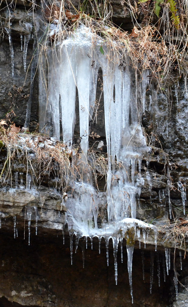
3-Icicles
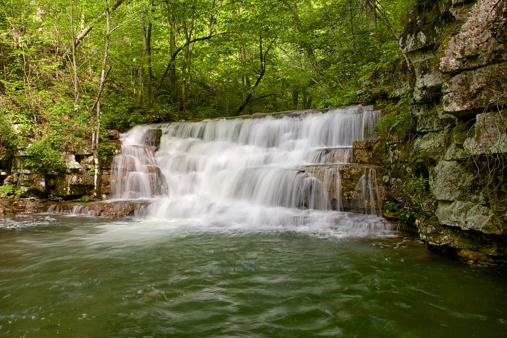
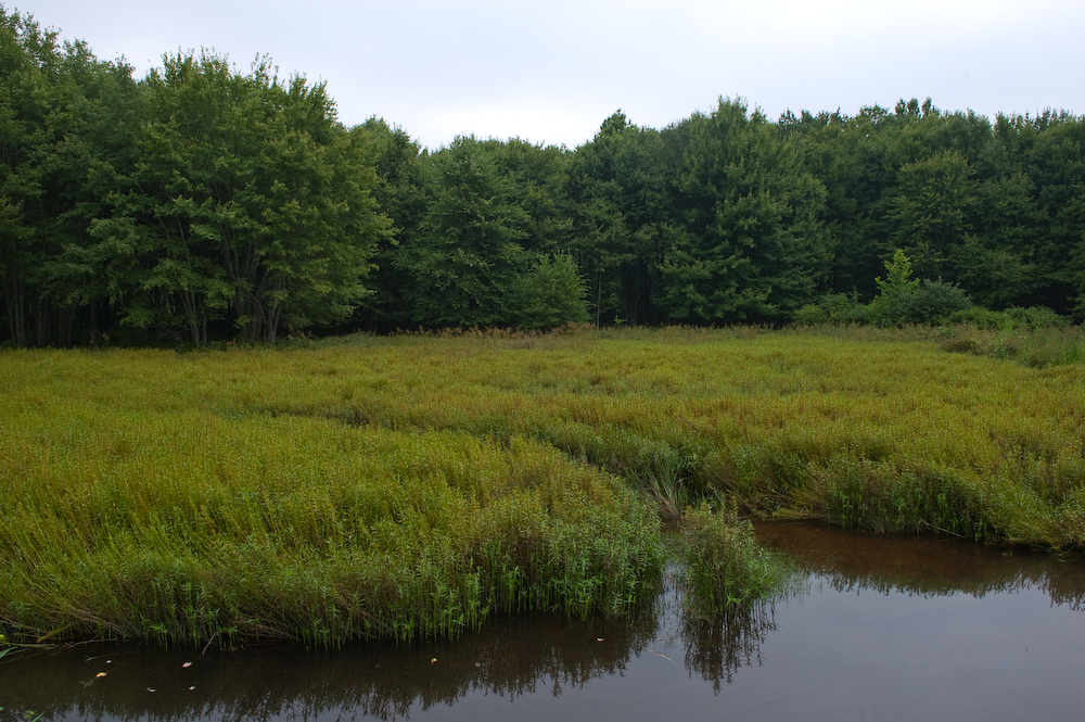
Fenwick Mines Waterfall
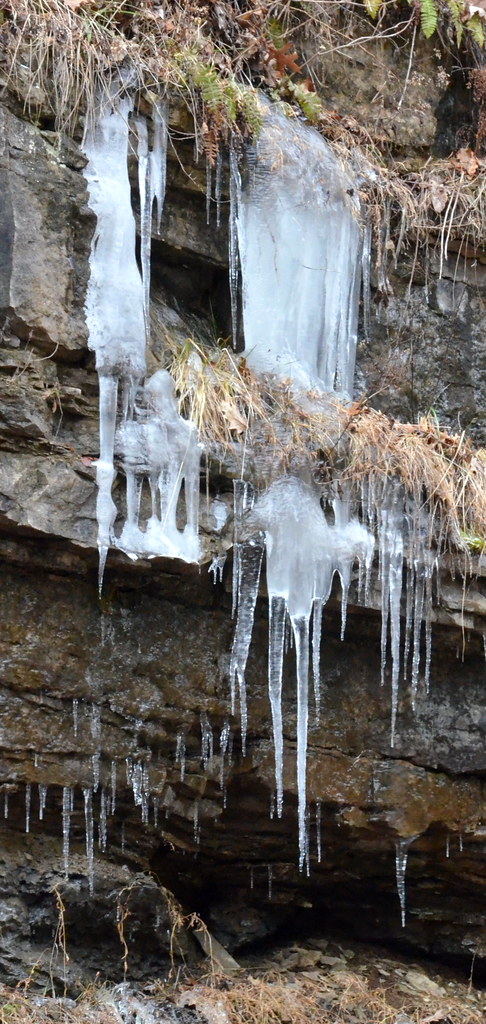
4-Icicles

My parents enjoying a quiet child-and grandchildren-free moment on beach at pond near Warm Springs, Virginia last year.
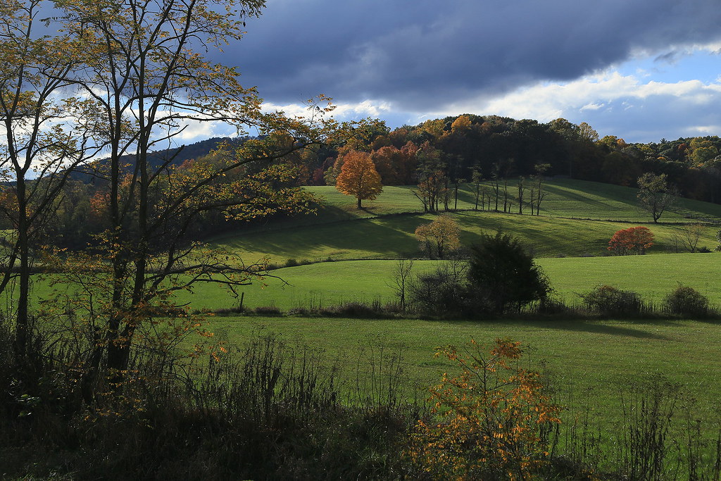
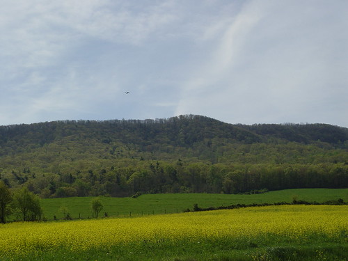
Fields of Sweet Springs Valley, Centennial, West Virginia
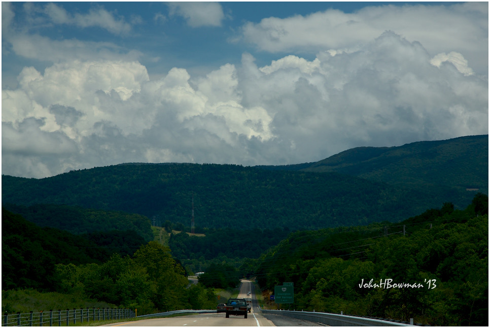
Storm Brewing
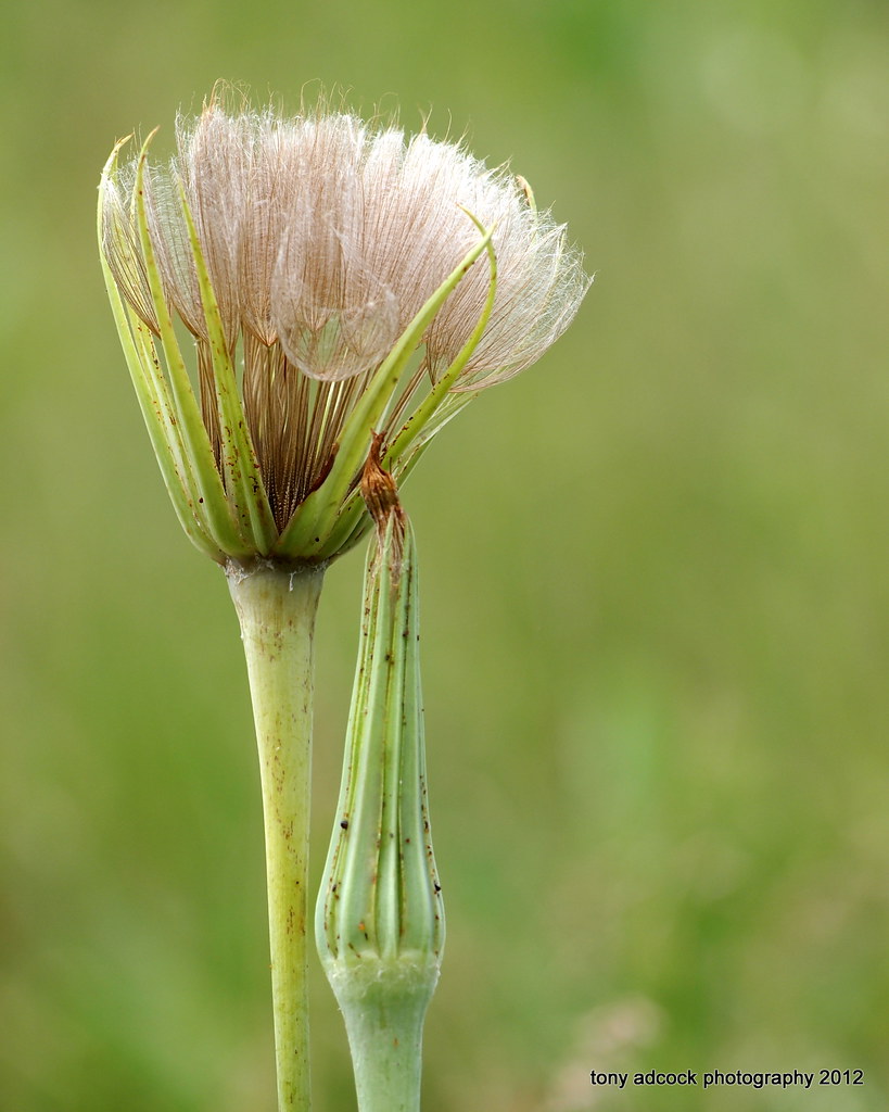
Oyster Plant
Day 3 of the trip 053

Three Moon Lignite
Irony?
Peters Mountain

Fenwick Mine
East of Lewis Tunnel
Fenwick Mine Trail
WV 311 at Peters Mountain
What did the tree say to the other tree?
Amtrak Cardinal scenery
Sweet Springs Resort
DSC05717 copy
Topographic Map of Boiling Springs, VA, USA
Find elevation by address:

Places in Boiling Springs, VA, USA:
Places near Boiling Springs, VA, USA:
Jordan Mines
8605 Mill Branch Rd
515 Hinkle Ln
2809 Jamison Mountain Rd
4625 Midland Trail
Jamison Mountain Road
4103 Rich Patch Rd
Covington
4700 Hayes Gap Rd
20545 Craigs Creek Rd
Craig City
Boys Home Road
1349 S David Ave
175 Prices Cabin Rd
175 Prices Cabin Rd
175 Prices Cabin Rd
Main St. - Covington
Covington
Ogle Creek Road
Creek Trail Road
Recent Searches:
- Elevation map of Greenland, Greenland
- Elevation of Sullivan Hill, New York, New York, 10002, USA
- Elevation of Morehead Road, Withrow Downs, Charlotte, Mecklenburg County, North Carolina, 28262, USA
- Elevation of 2800, Morehead Road, Withrow Downs, Charlotte, Mecklenburg County, North Carolina, 28262, USA
- Elevation of Yangbi Yi Autonomous County, Yunnan, China
- Elevation of Pingpo, Yangbi Yi Autonomous County, Yunnan, China
- Elevation of Mount Malong, Pingpo, Yangbi Yi Autonomous County, Yunnan, China
- Elevation map of Yongping County, Yunnan, China
- Elevation of North 8th Street, Palatka, Putnam County, Florida, 32177, USA
- Elevation of 107, Big Apple Road, East Palatka, Putnam County, Florida, 32131, USA
- Elevation of Jiezi, Chongzhou City, Sichuan, China
- Elevation of Chongzhou City, Sichuan, China
- Elevation of Huaiyuan, Chongzhou City, Sichuan, China
- Elevation of Qingxia, Chengdu, Sichuan, China
- Elevation of Corso Fratelli Cairoli, 35, Macerata MC, Italy
- Elevation of Tallevast Rd, Sarasota, FL, USA
- Elevation of 4th St E, Sonoma, CA, USA
- Elevation of Black Hollow Rd, Pennsdale, PA, USA
- Elevation of Oakland Ave, Williamsport, PA, USA
- Elevation of Pedrógão Grande, Portugal