Elevation of Botetourt County, VA, USA
Location: United States > Virginia >
Longitude: -79.784842
Latitude: 37.5774613
Elevation: 475m / 1558feet
Barometric Pressure: 96KPa
Elevation Map:
Satellite Map:
Related Photos:

Azalea View

azalea view
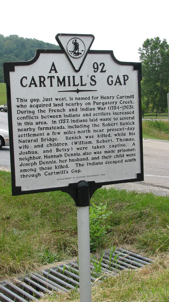
Cartmill's Gap Indian Raid
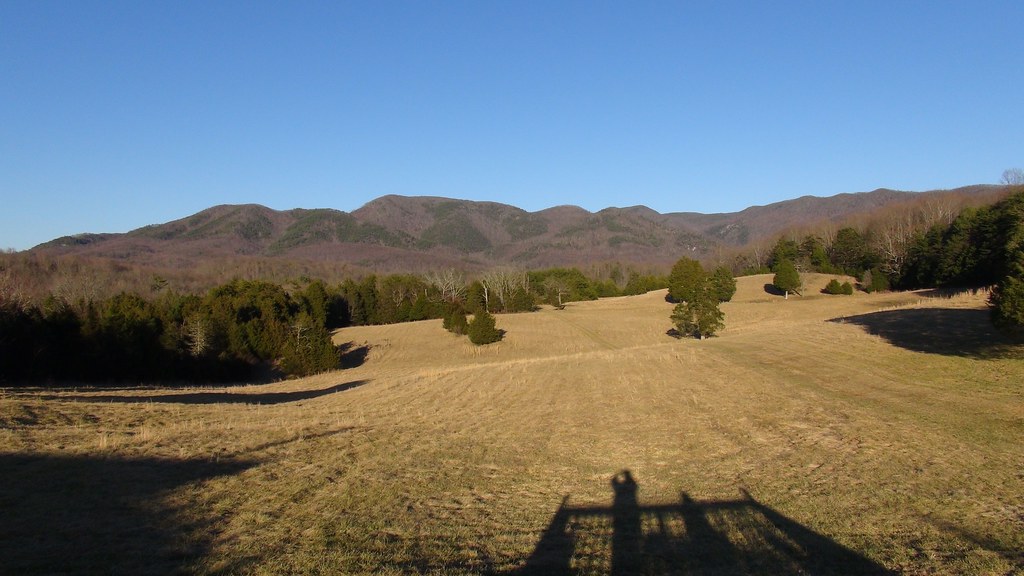
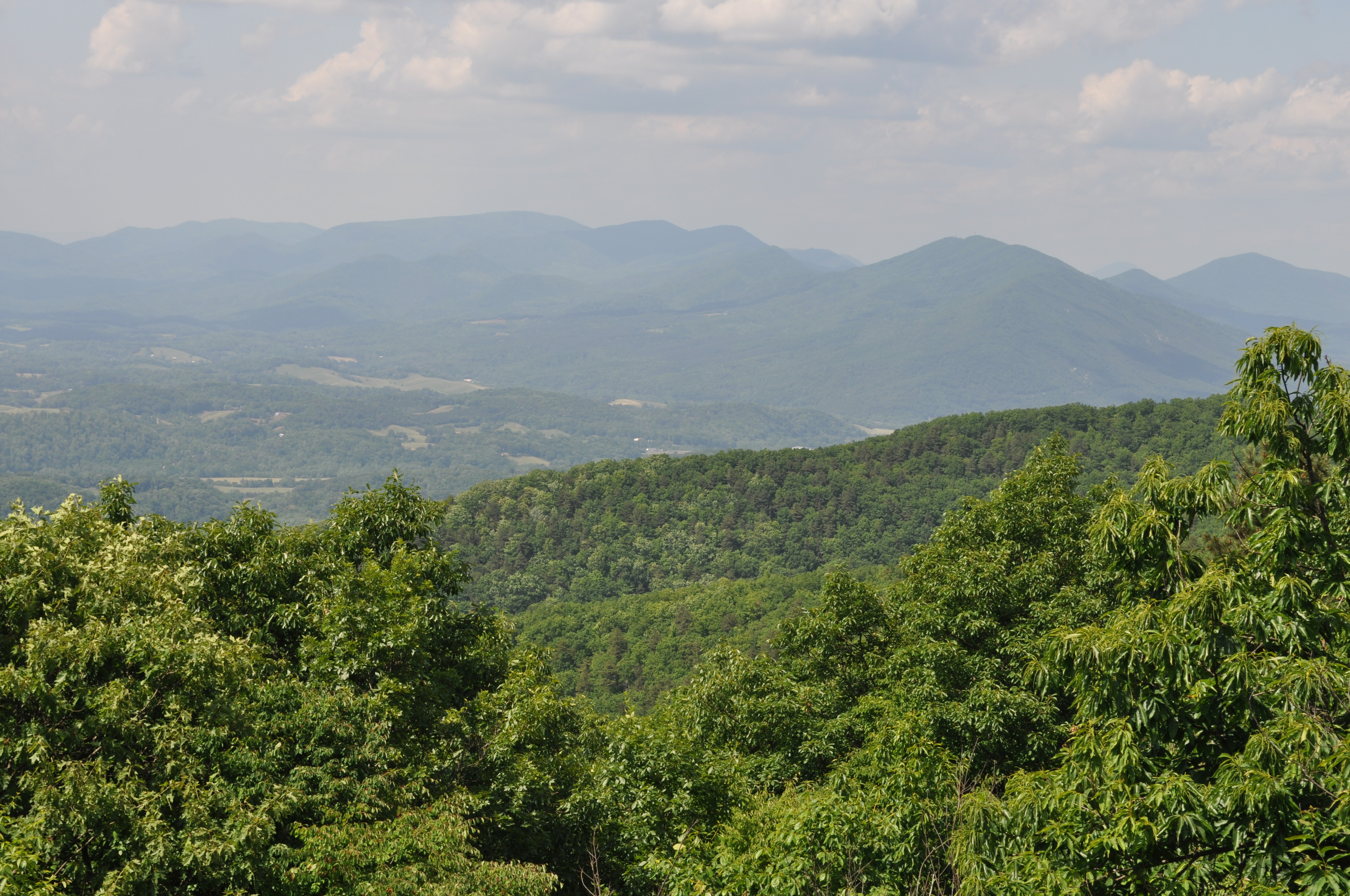
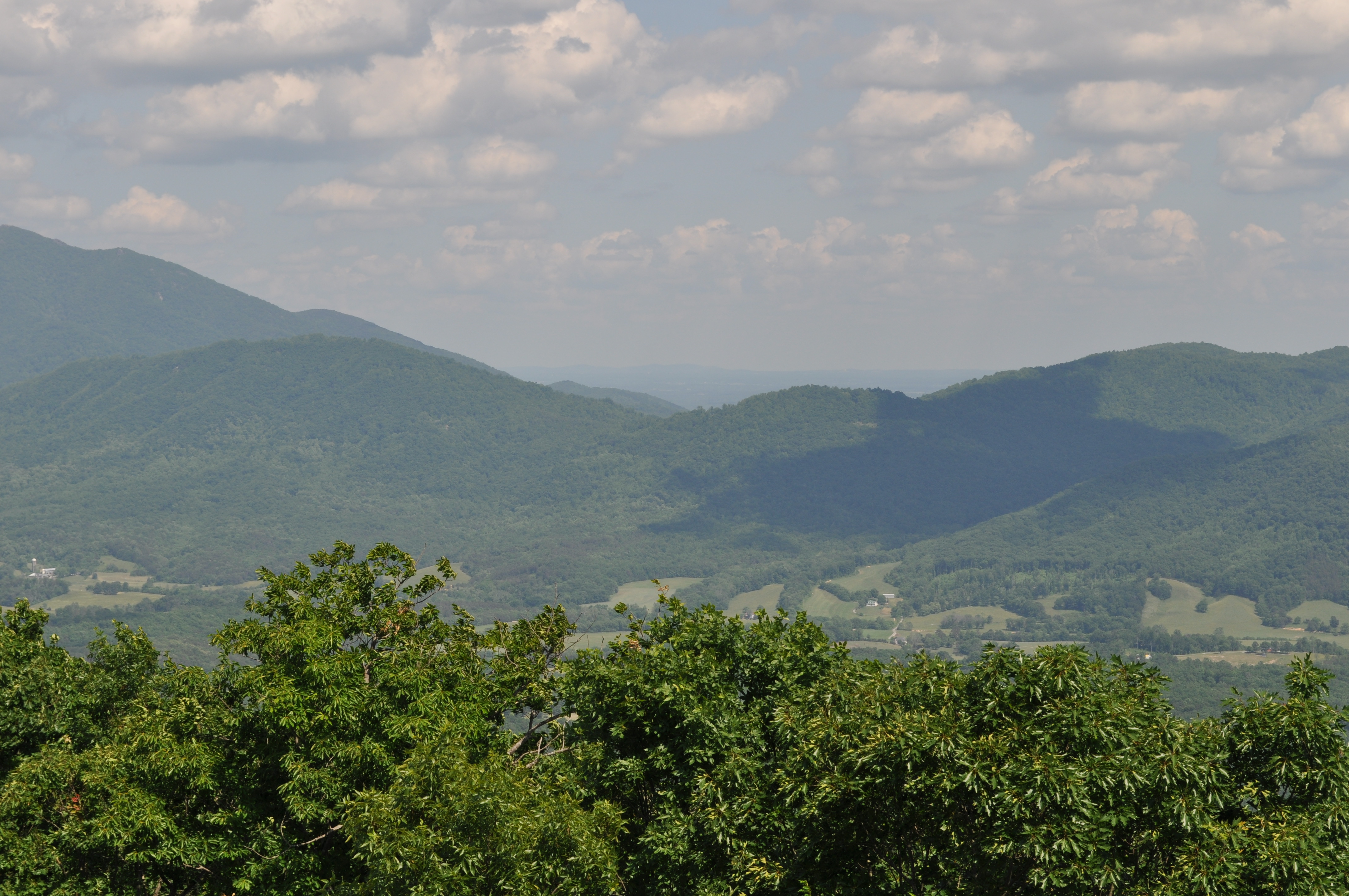
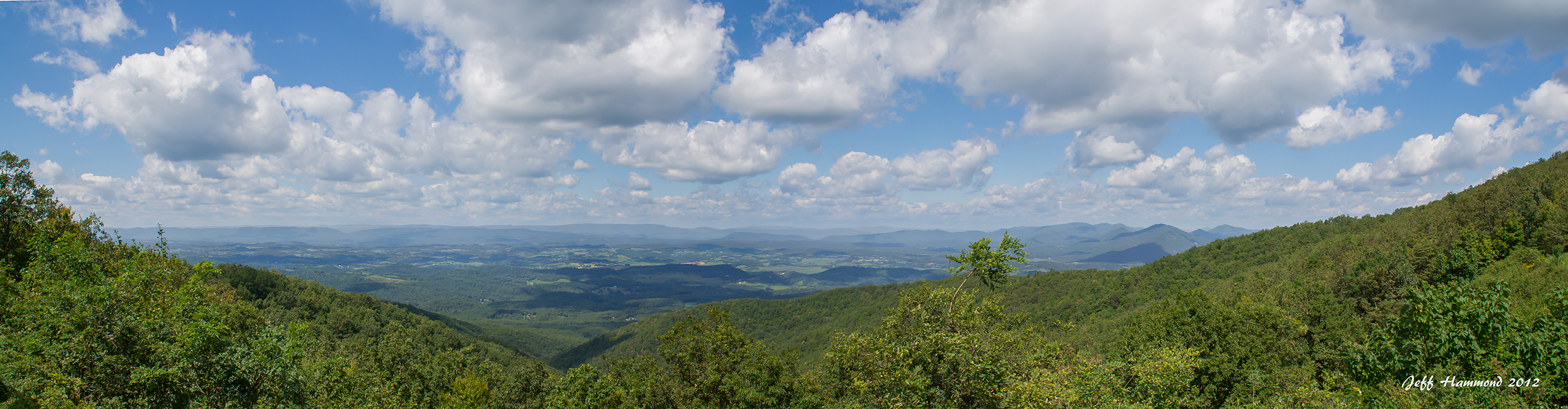
View from Blue Ridge Vineyard
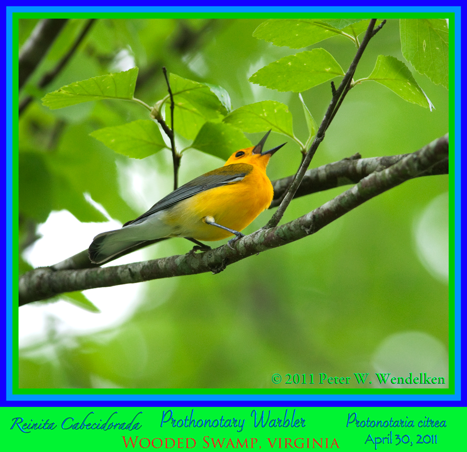
PROTHONOTARY WARBLER MALE SINGING Protonotaria citrea in Hardwood Swamp near Arcadia, Virginia. April 30, 2011. Photo by Peter Wendelken.

Three Belles
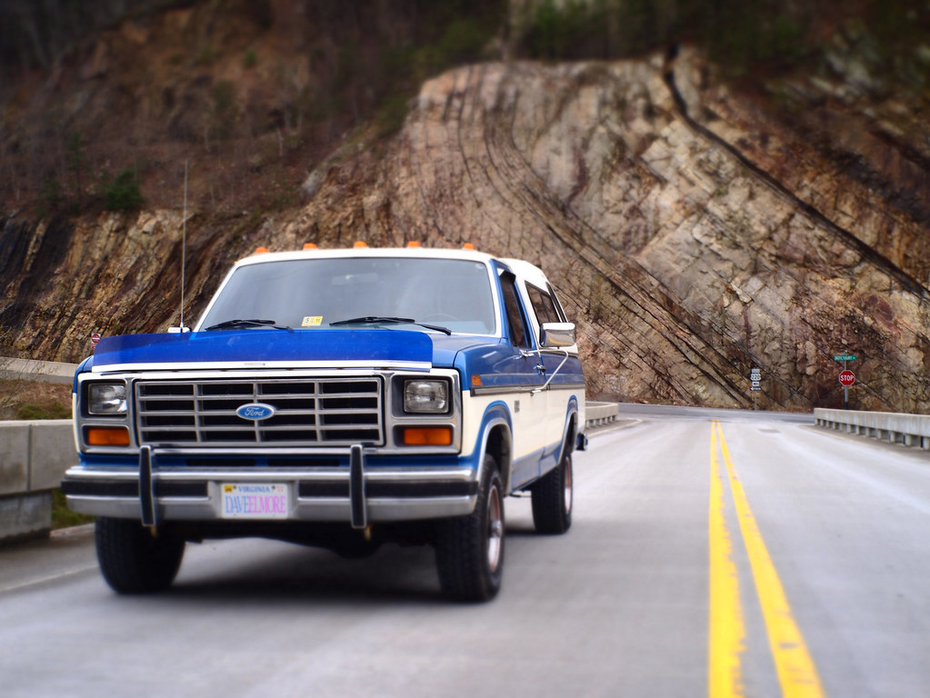
Henry the truck
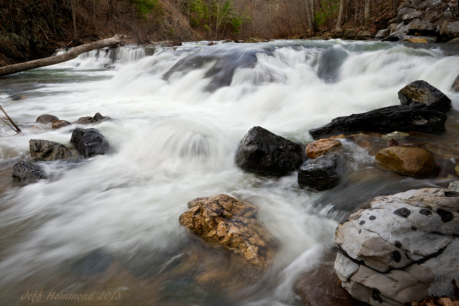
Jennings Creek Falls
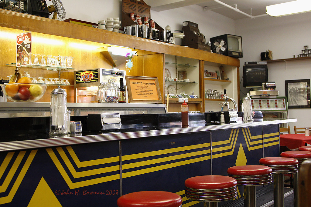
Old-time soda fountain & grill
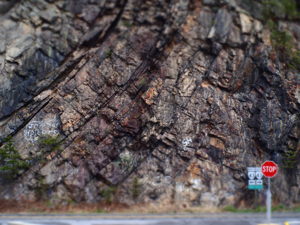
Big Rock Face
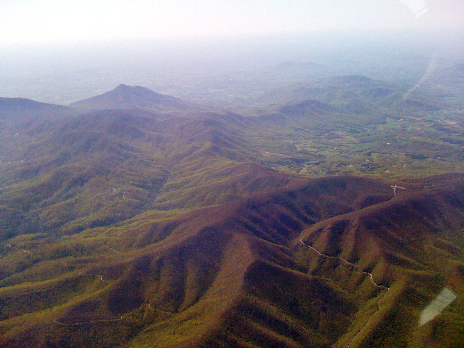
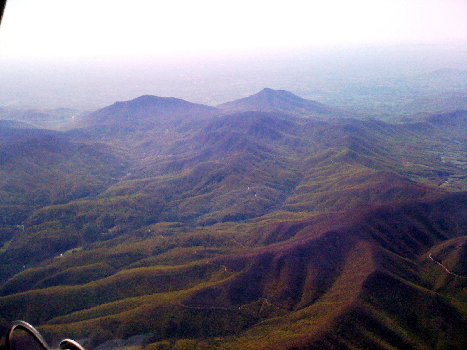
3324 View Montvale Img_14485
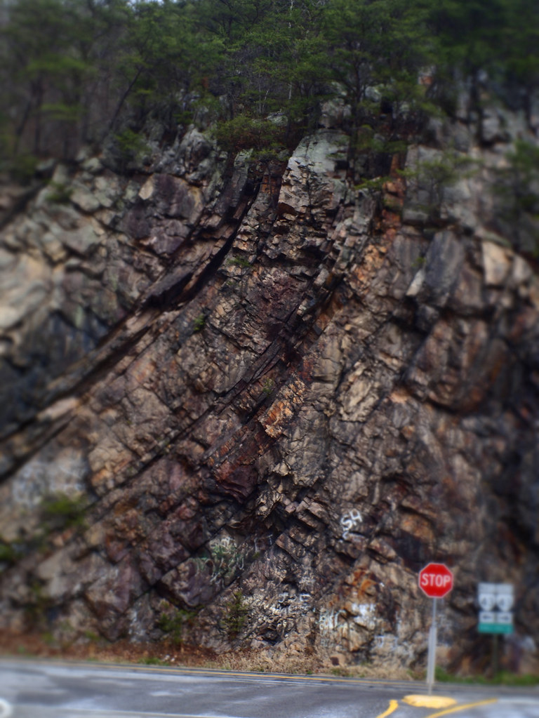
Big Rock Face
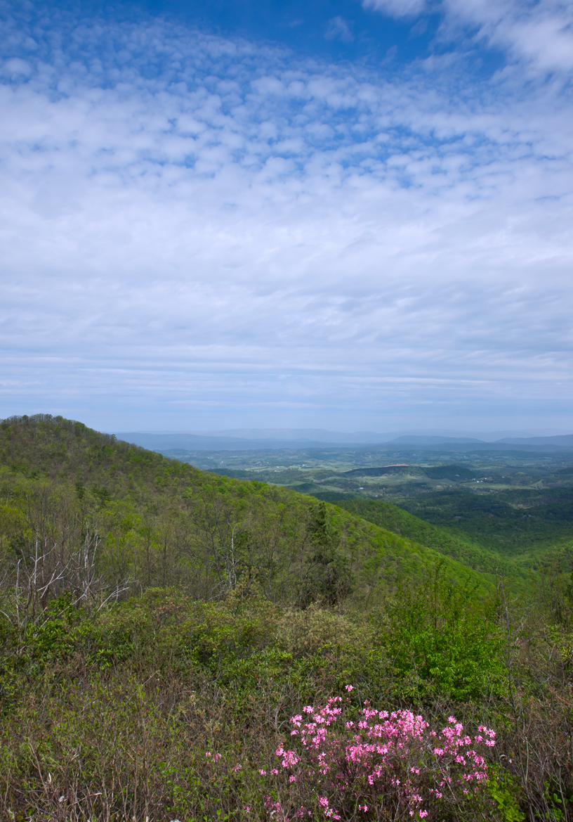
Pink Azalea View

2013.07.28.02 Montvale from Blue Ridge Parkway

20 Dragonfly Heaven at Bedtime - End of Day 1
3323 View Montvale Img_14484

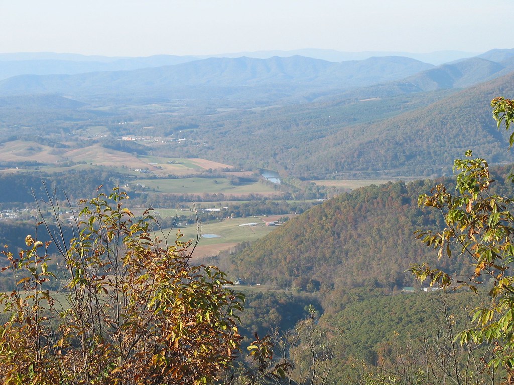
Price's Bluff
James river after autumn
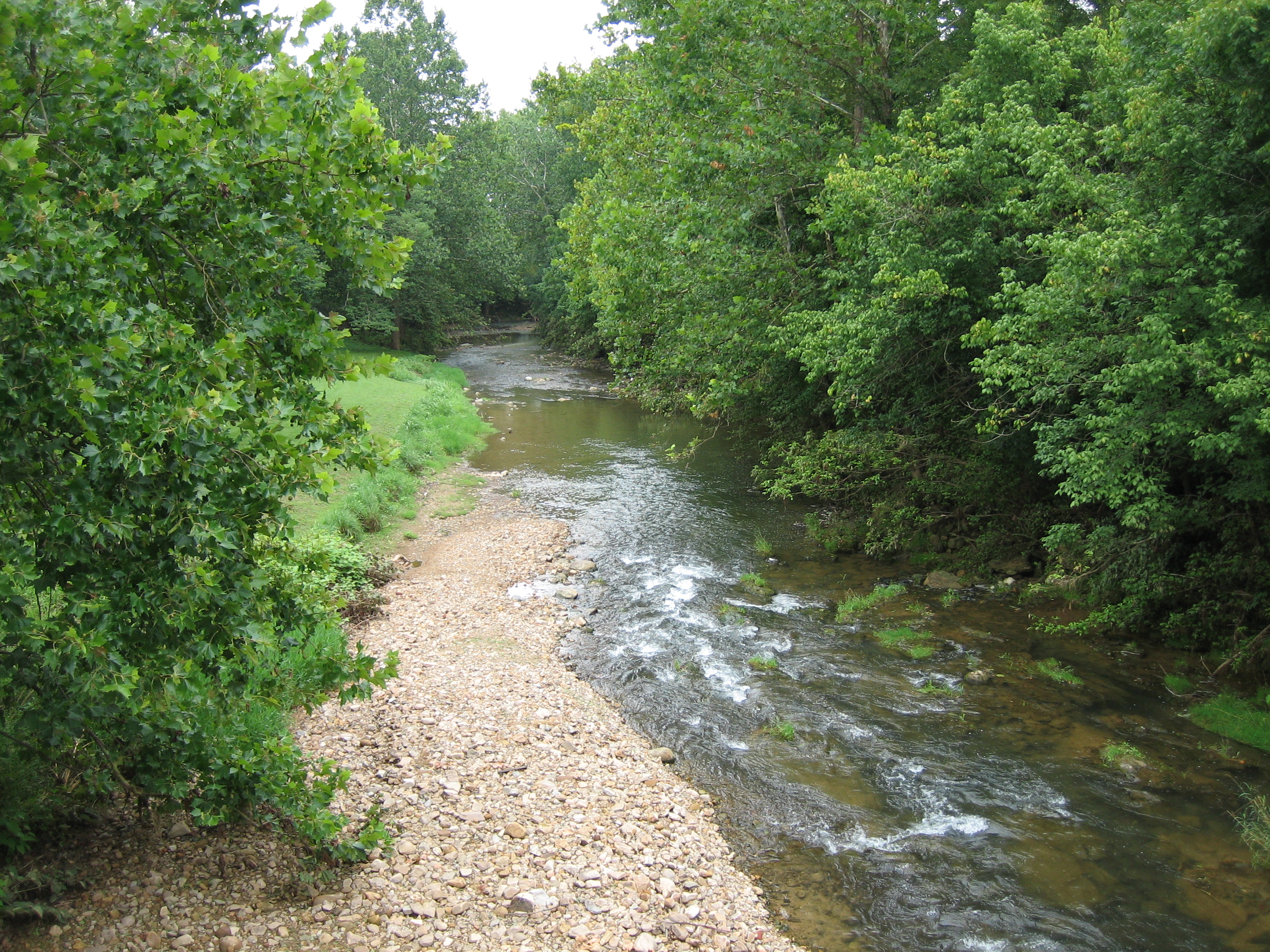
Looney Creek
Under Renovation
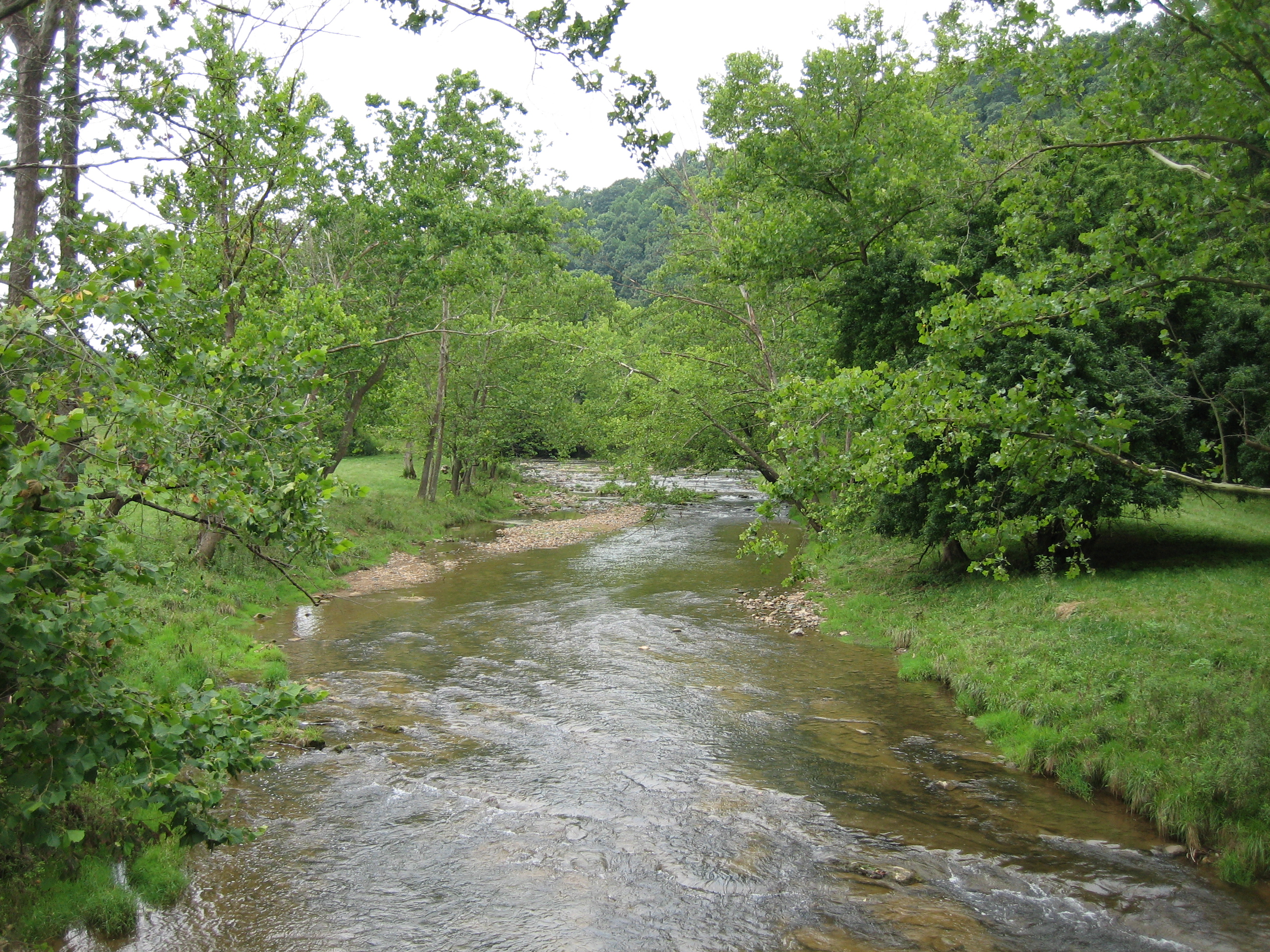
Looney Creek
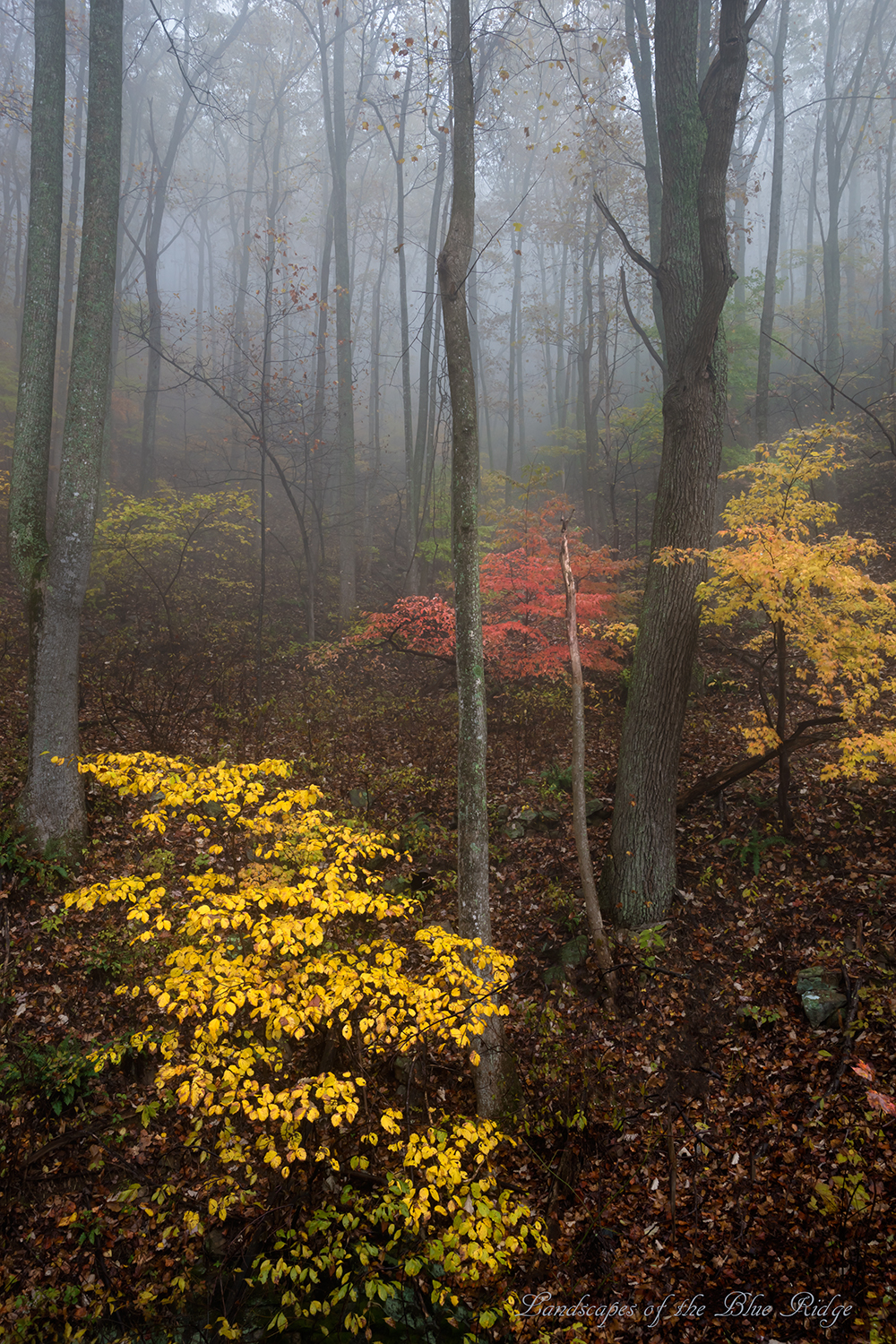
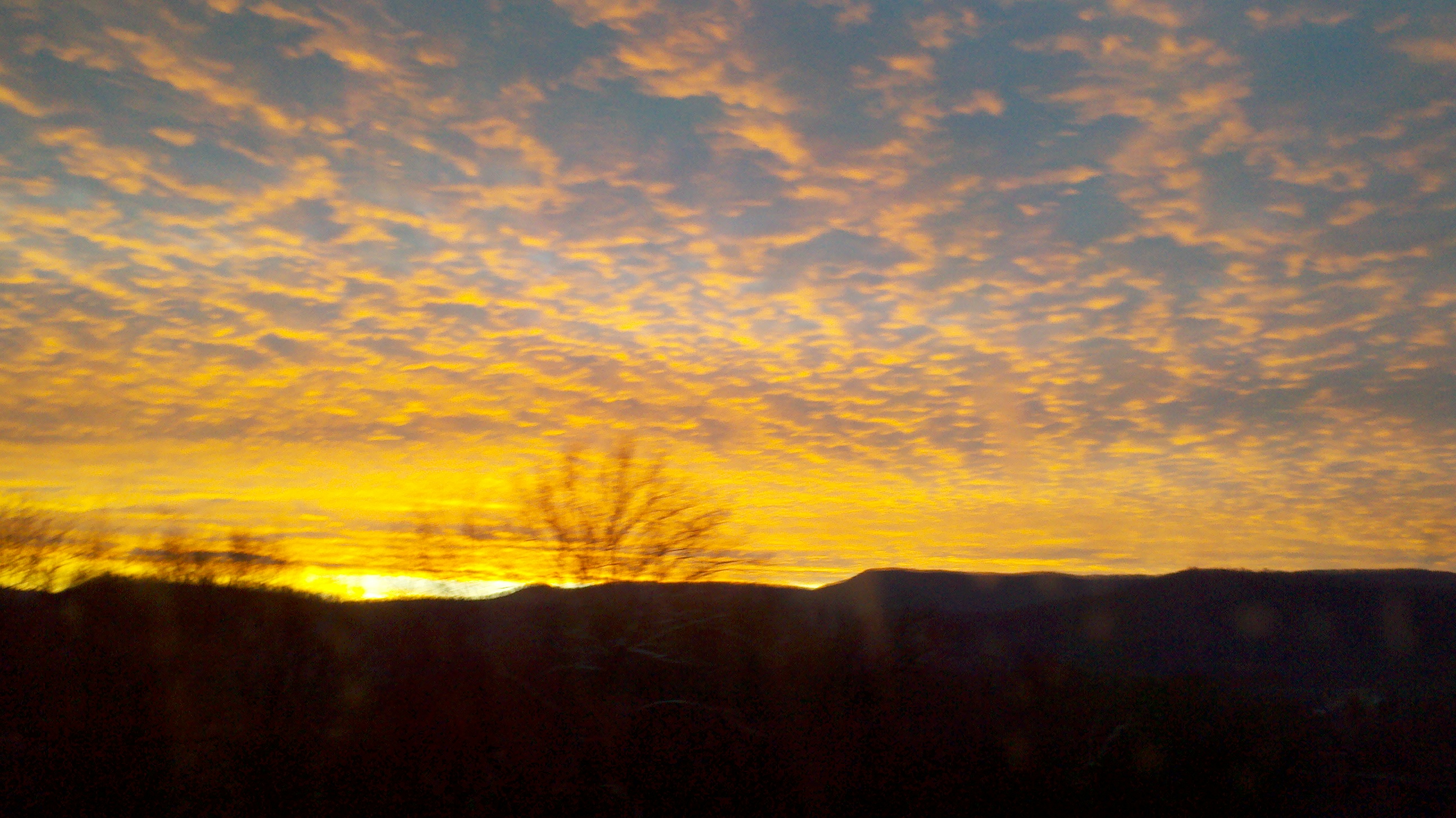
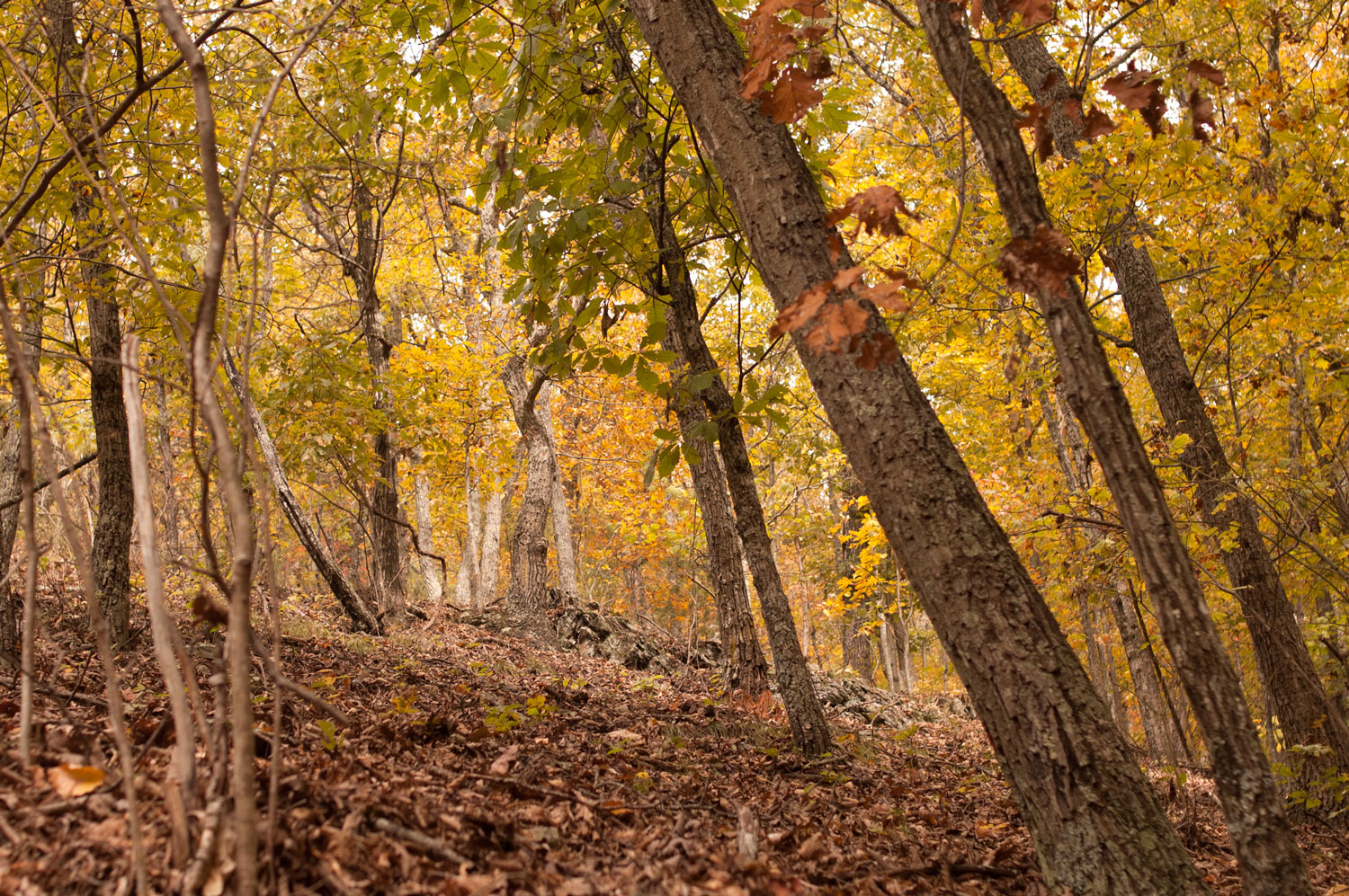
Foggy Autumn
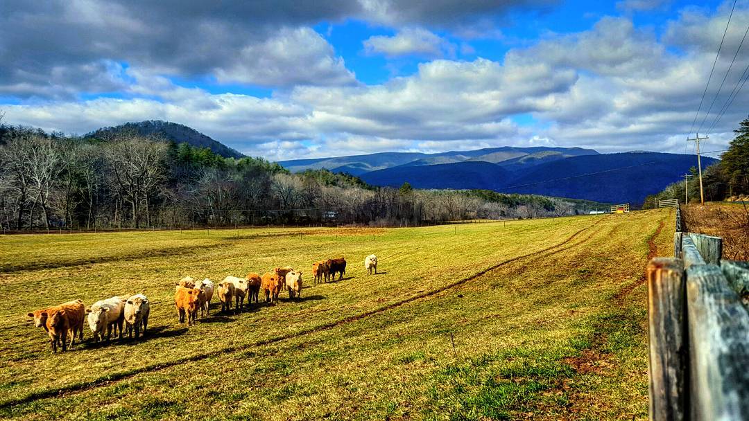
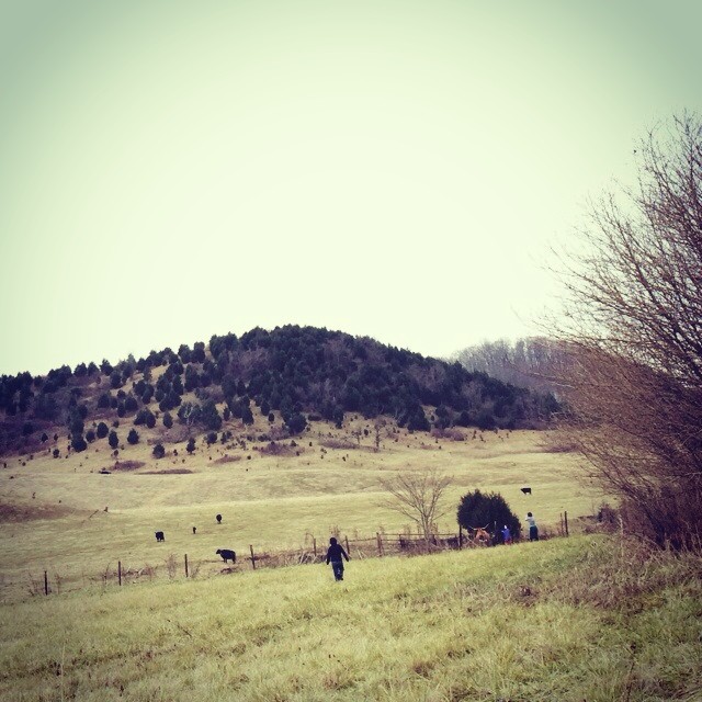
I was on my way to another waterfall when I stopped here to take a picture. When I came up to the fence I was surprised to see all of these cows coming towards me! I mooed at them and one of them actually mooed back at me!! ????#virginia #cows
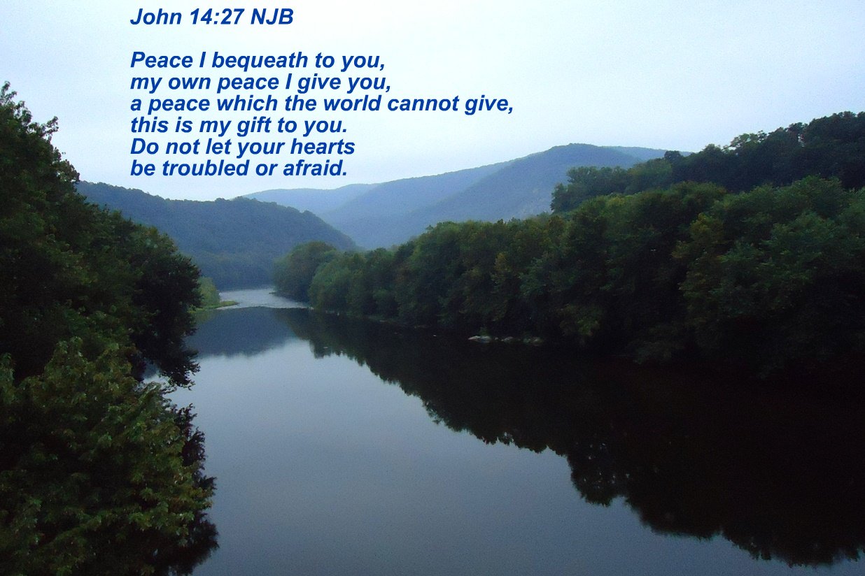
John 14:27
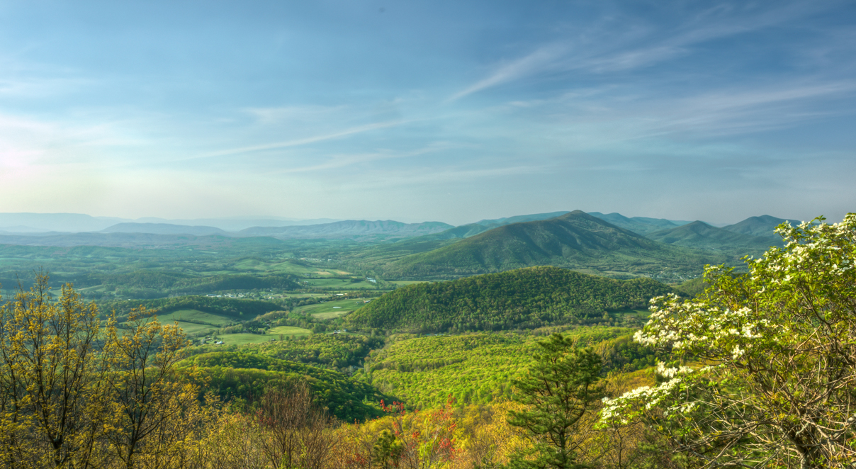
Spring Dogwood
Apple Orchard Falls

Day 3 of the trip 086

Summer Near Solutude
Had to go find my family after stopping at a gas station. Cows.
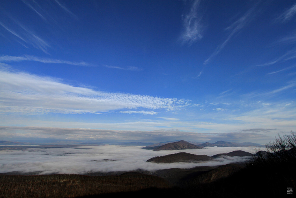
Valley Fog
2012-11-25_07-09-09_324
Day 3 of the trip 146
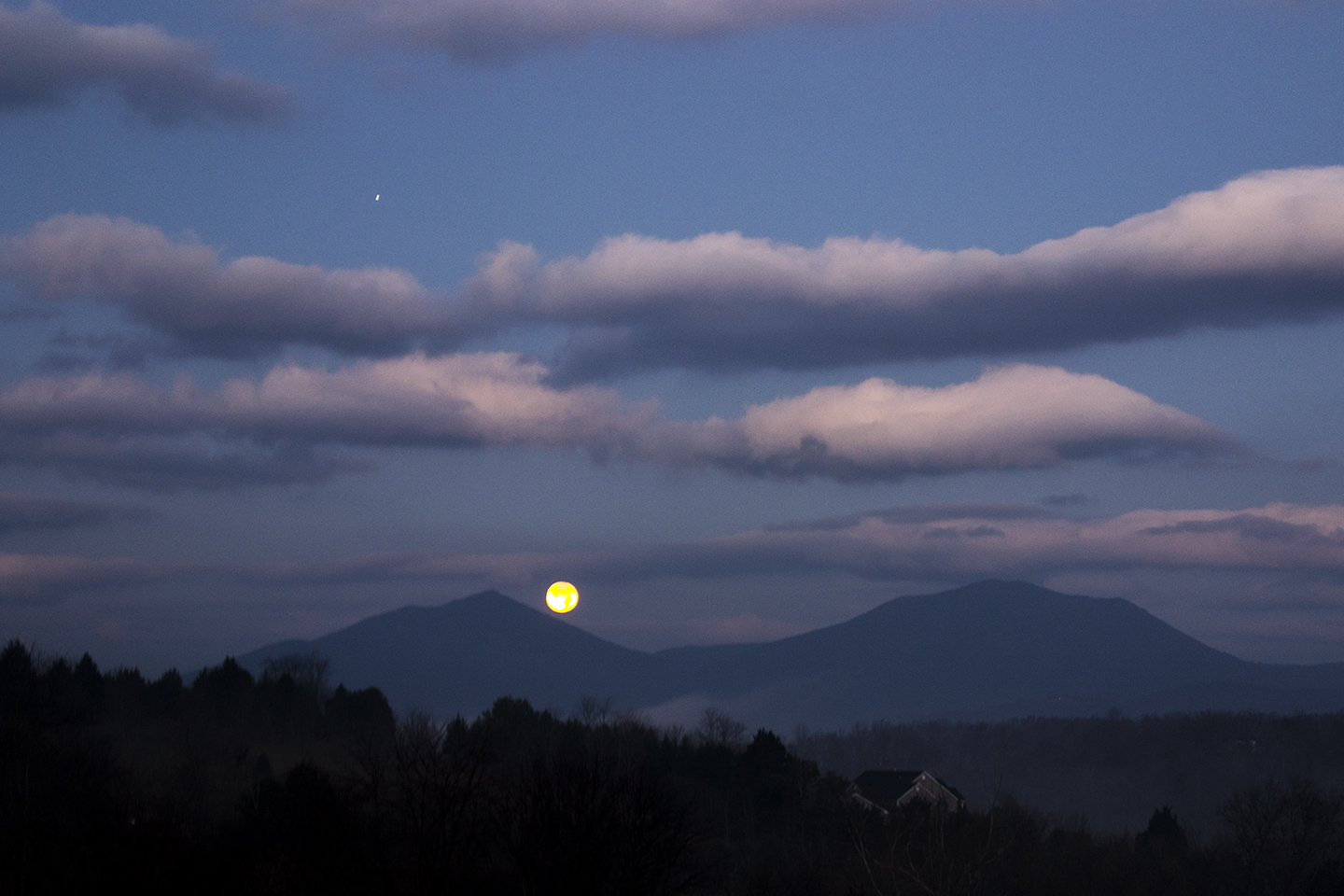
Moon Set over Peaks_0236
Rollin' on
Harveys Knob
looking @ purgatory mountain
Day 3 of the trip 242

Nice Day For A Drive
Steep climb ahead
Topographic Map of Botetourt County, VA, USA
Find elevation by address:

Places in Botetourt County, VA, USA:
Fincastle
Amsterdam
Valley
Fincastle
Buchanan
40 River Rd, Buchanan, VA, USA
Hunters Trail, Troutville, VA, USA
Swartz Rd, Buchanan, VA, USA
Places near Botetourt County, VA, USA:
40 River Rd, Buchanan, VA, USA
Narrow Passage Road
462 Cartmills Gap Rd
Buchanan
17749 Main St
Swartz Rd, Buchanan, VA, USA
545 Schoolhouse Rd
Buchanan
19806 Main St
498 Ivy Mountain Rd
776 Short Hill Dr
9451 Goose Creek Valley Rd
9451 Goose Creek Valley Rd
9451 Goose Creek Valley Rd
Arcadia
Interstate 81
Middle Creek Campground
188 Inn Rd
Peaks Of Otter Lodge
85554 Blue Ridge Pkwy
Recent Searches:
- Elevation of Corso Fratelli Cairoli, 35, Macerata MC, Italy
- Elevation of Tallevast Rd, Sarasota, FL, USA
- Elevation of 4th St E, Sonoma, CA, USA
- Elevation of Black Hollow Rd, Pennsdale, PA, USA
- Elevation of Oakland Ave, Williamsport, PA, USA
- Elevation of Pedrógão Grande, Portugal
- Elevation of Klee Dr, Martinsburg, WV, USA
- Elevation of Via Roma, Pieranica CR, Italy
- Elevation of Tavkvetili Mountain, Georgia
- Elevation of Hartfords Bluff Cir, Mt Pleasant, SC, USA