Elevation of Falling Water Road, Falling Water Rd, Hixson, TN, USA
Location: United States > Tennessee > Hamilton County > Hixson >
Longitude: -85.254080
Latitude: 35.2035769
Elevation: 215m / 705feet
Barometric Pressure: 99KPa
Elevation Map:
Satellite Map:
Related Photos:
Coolidge Park Snowstorm
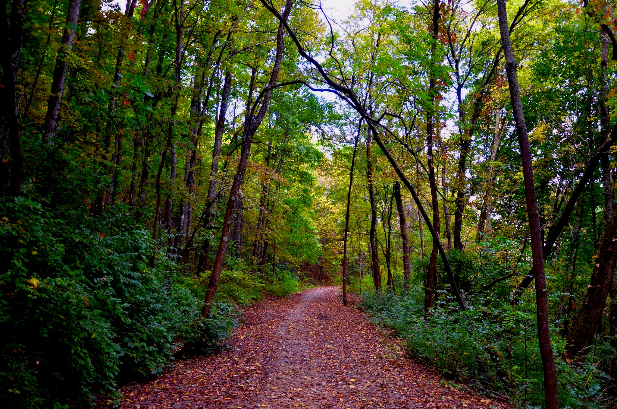
Autumn Colors (edit)
Week 42: Orange

Week 18:Blue

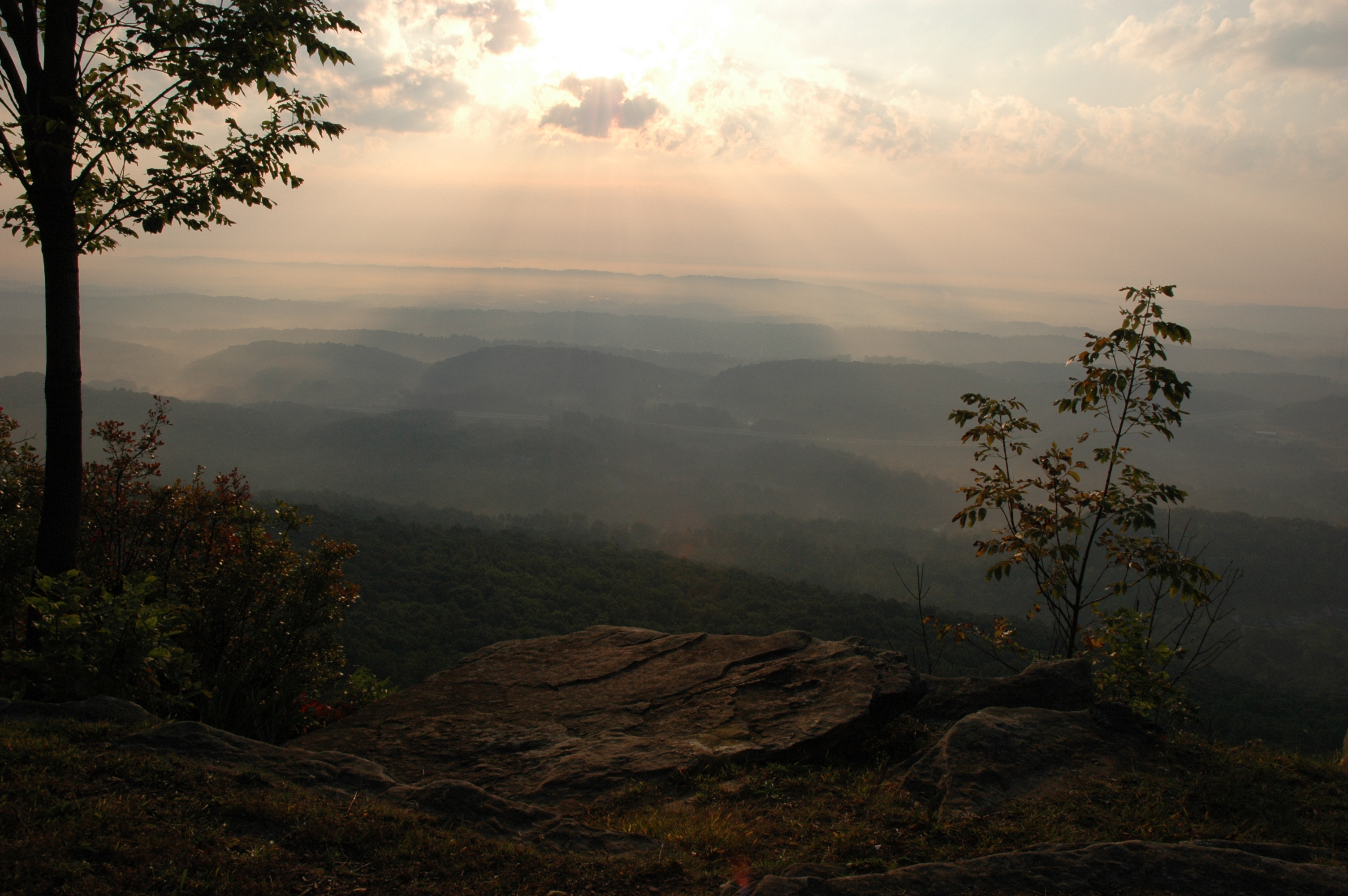
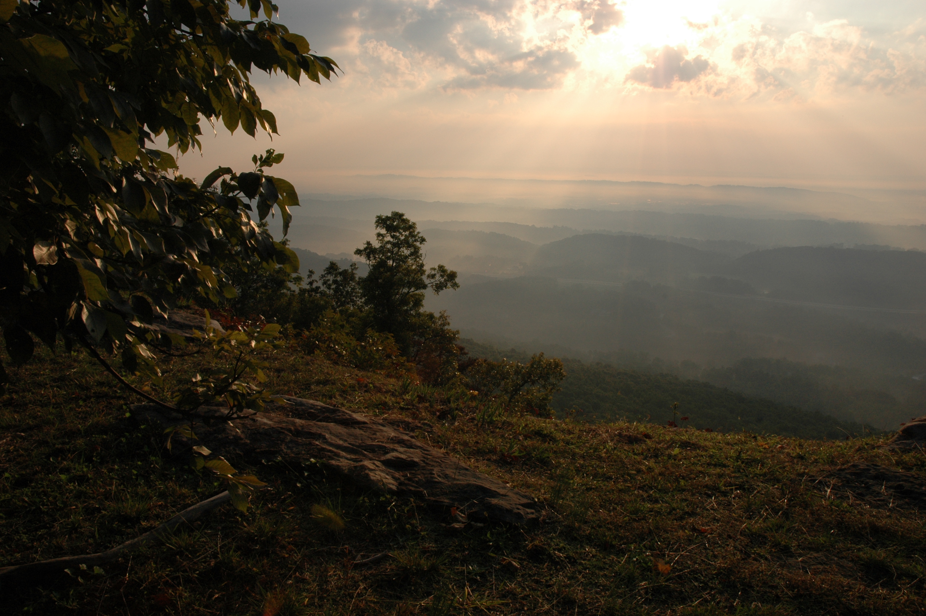
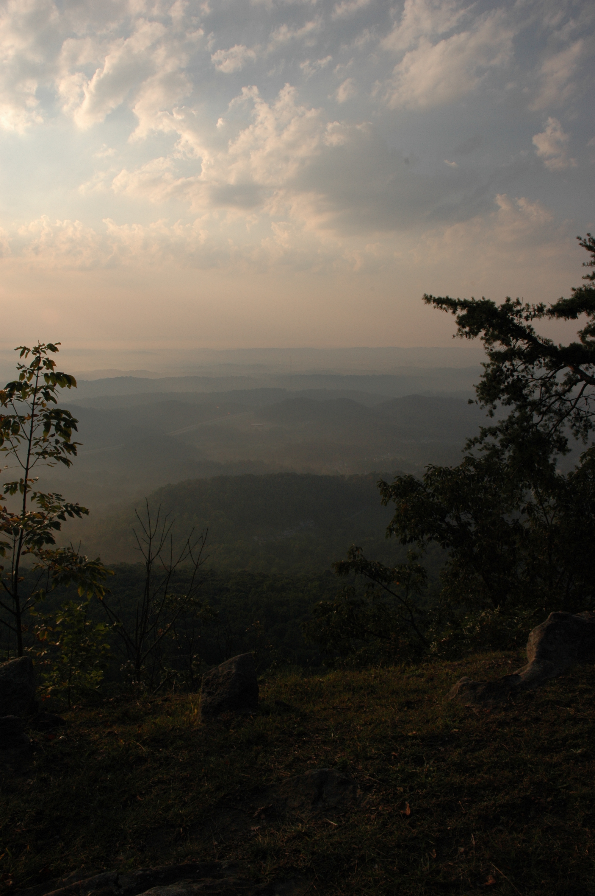
View from Signal Mtn Point Park
Middle Creek Bridge, Rainbow Lake Trail - Signal Mountain, Tennessee

Common Loon

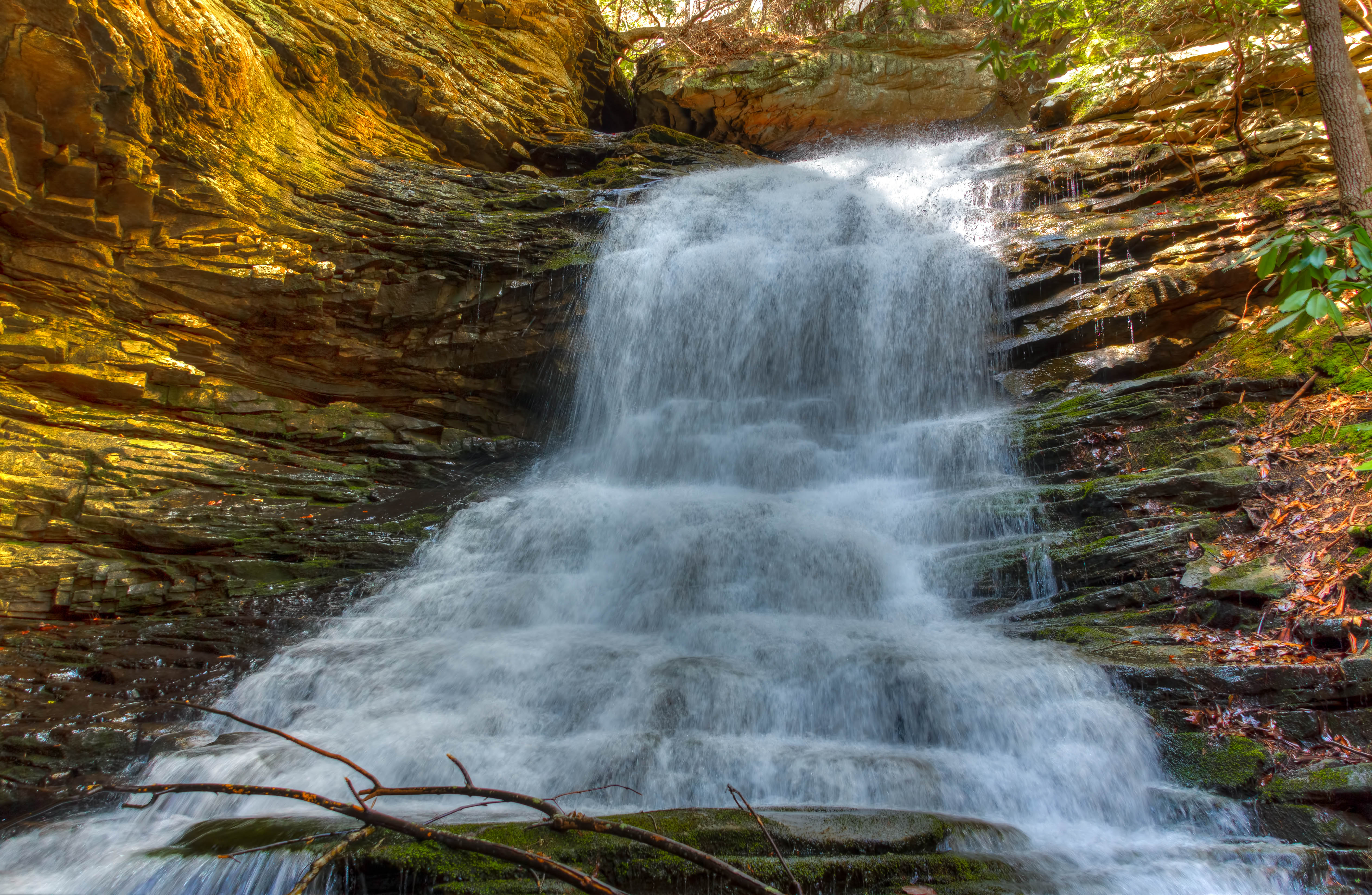
Unnamed waterfall two seen along the old Dixie Highway
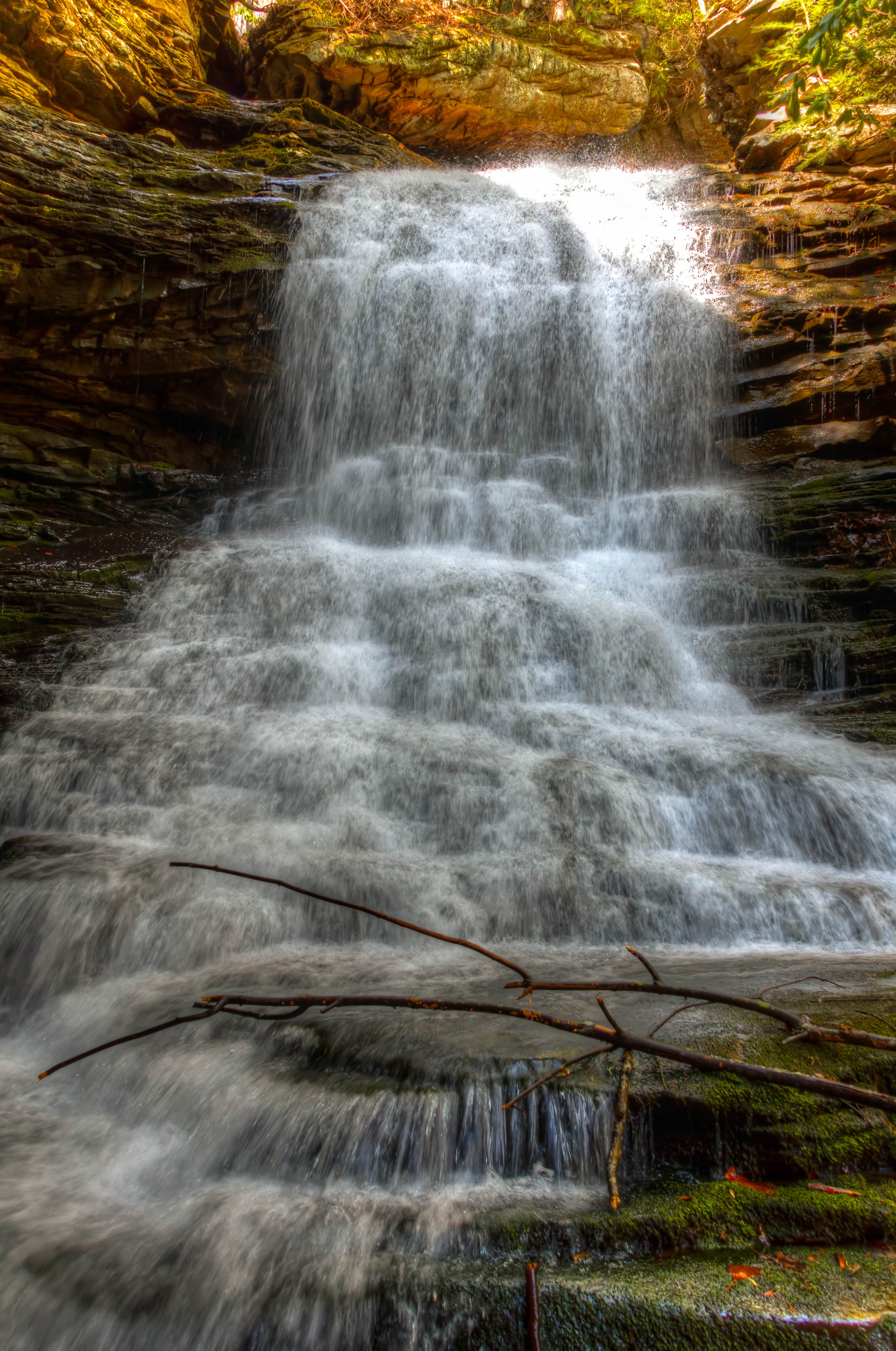
WBrowSignalMtn-4
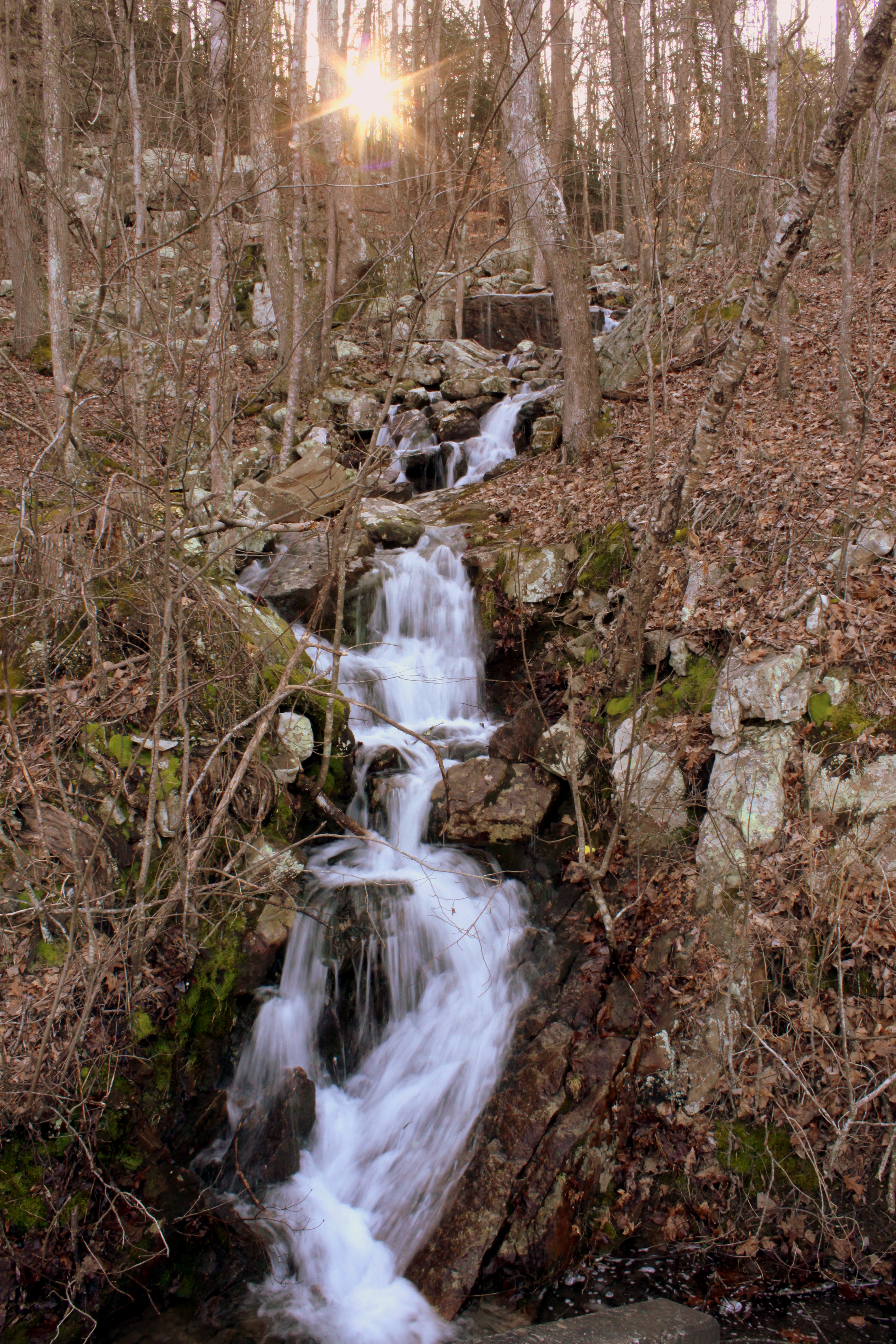
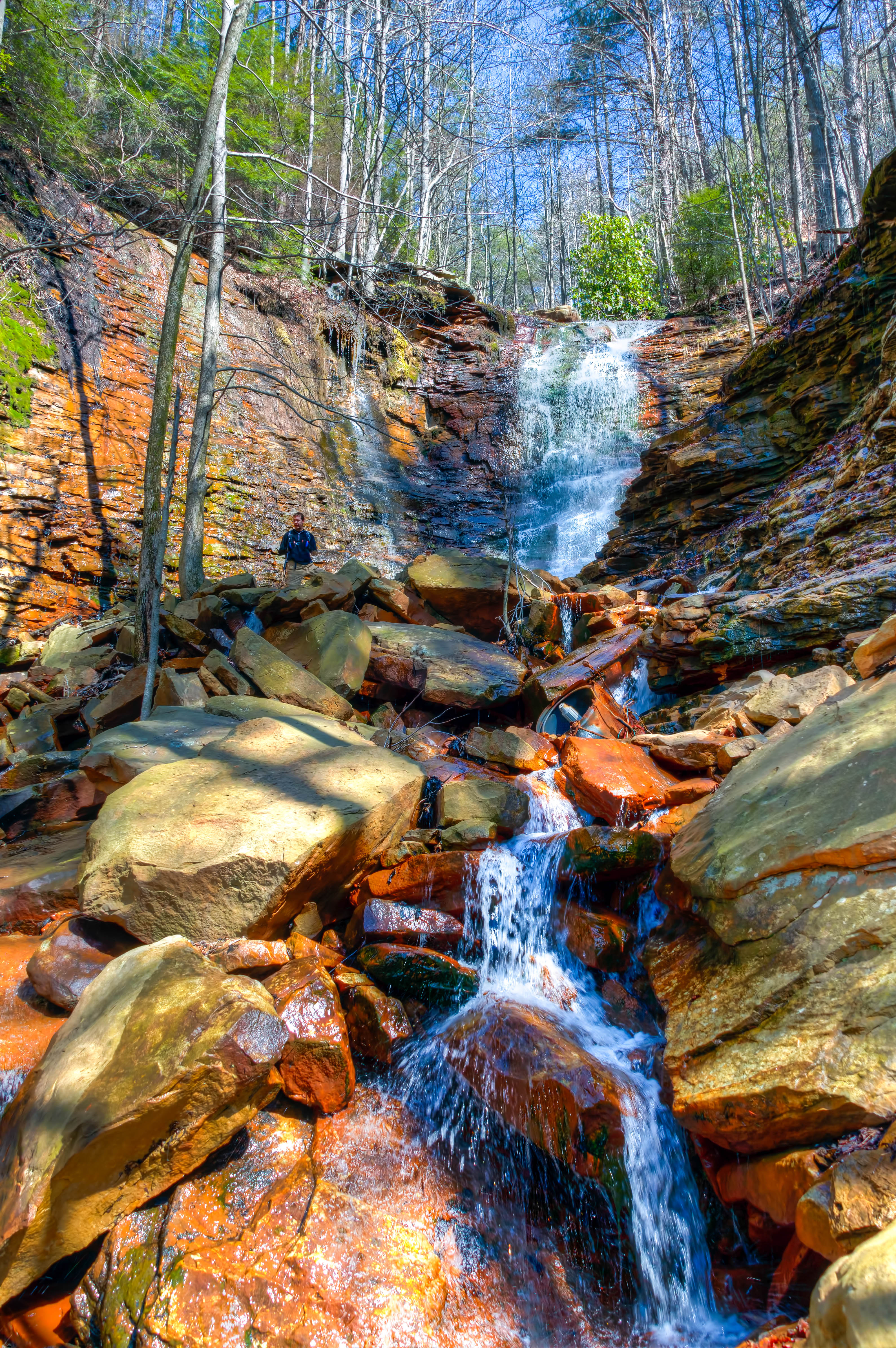
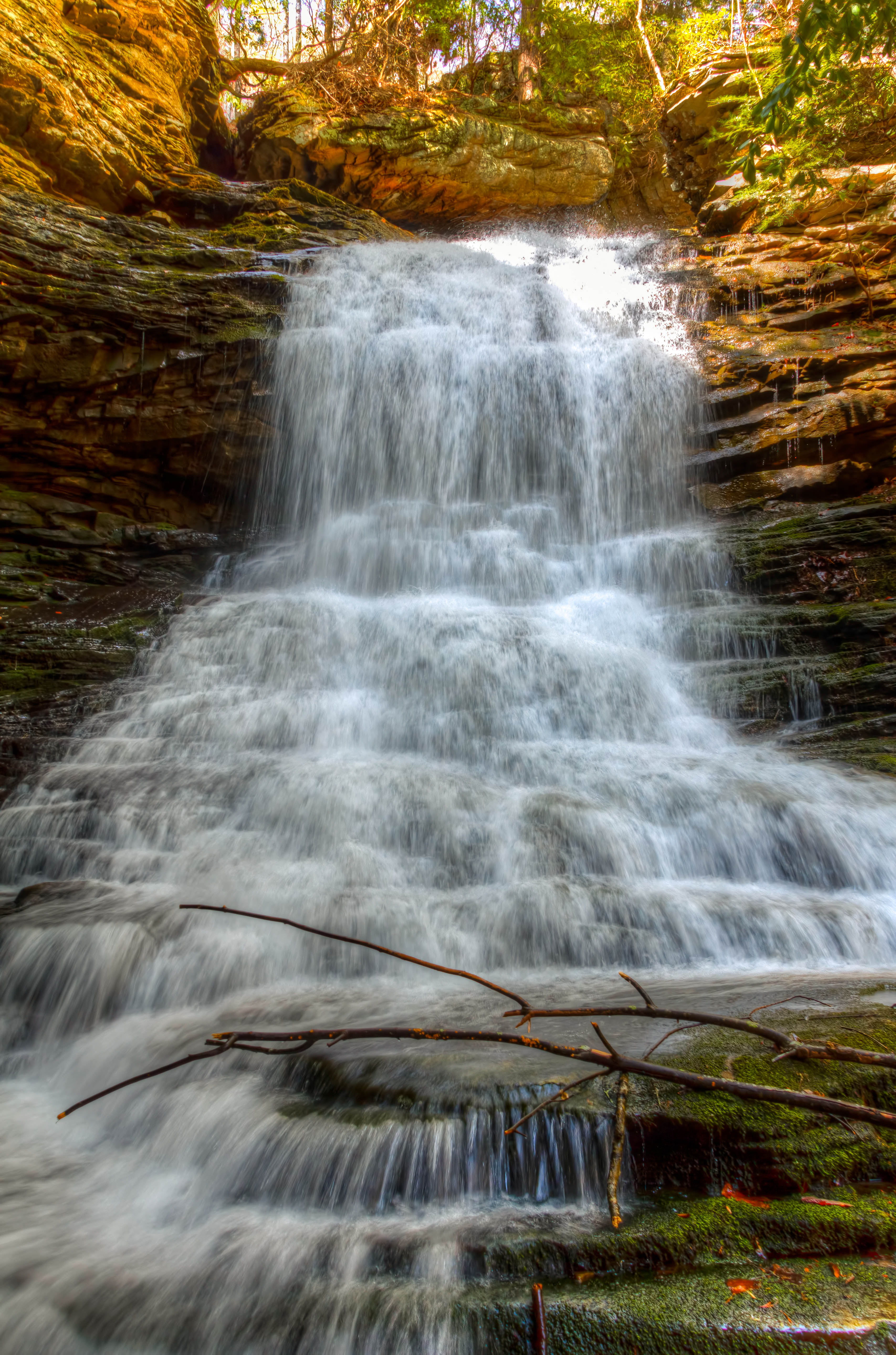
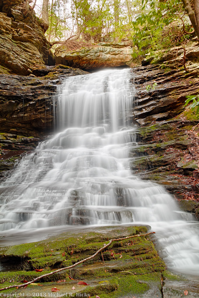
Unnamed waterfall one seen along the old Dixie Highway
WBrowSignalMtn-2
WBrowSignalMtn-1
WBrowSignalMtn-5

SR 4501 Rests at TVRM
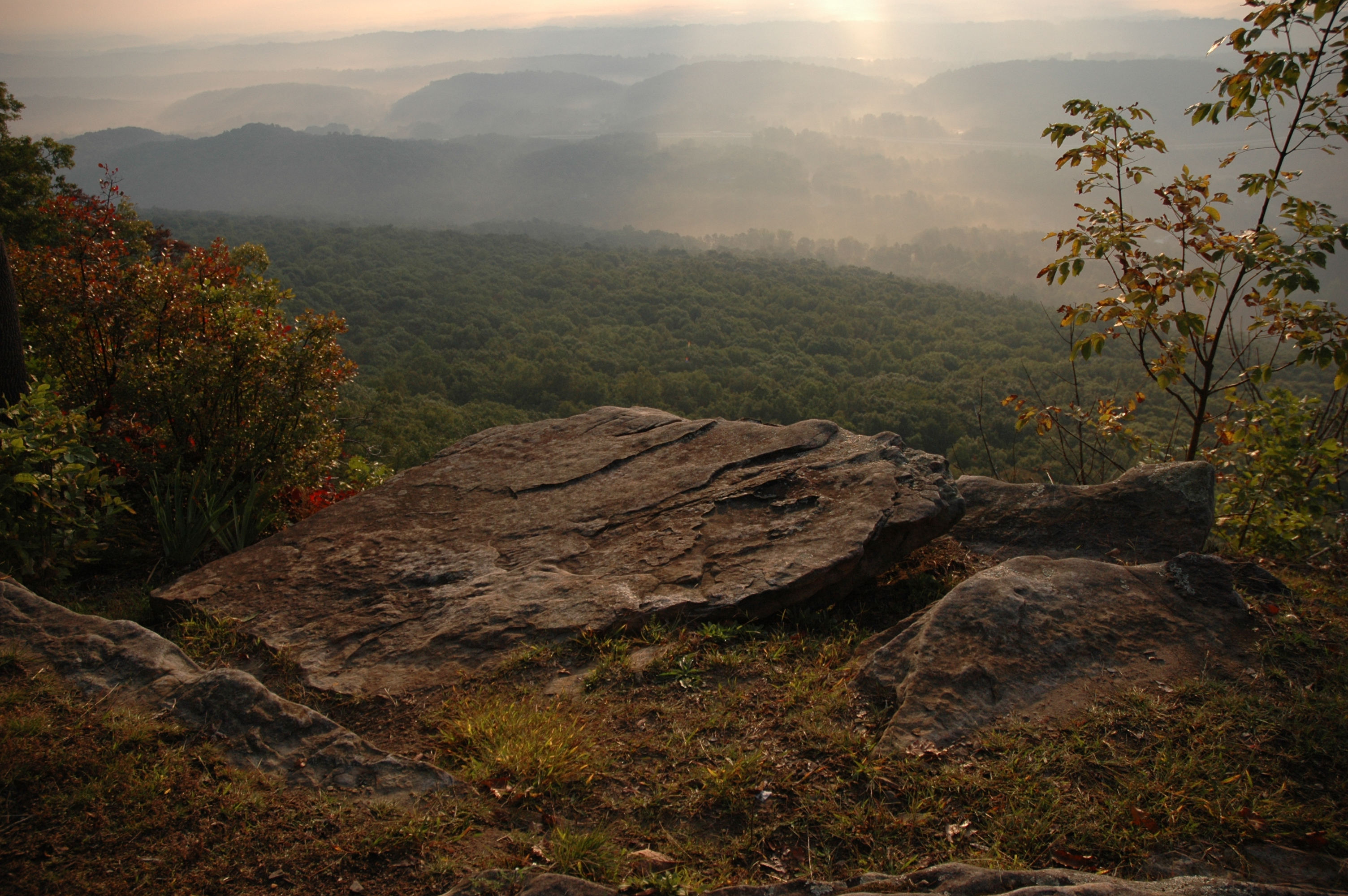
The Rock
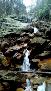
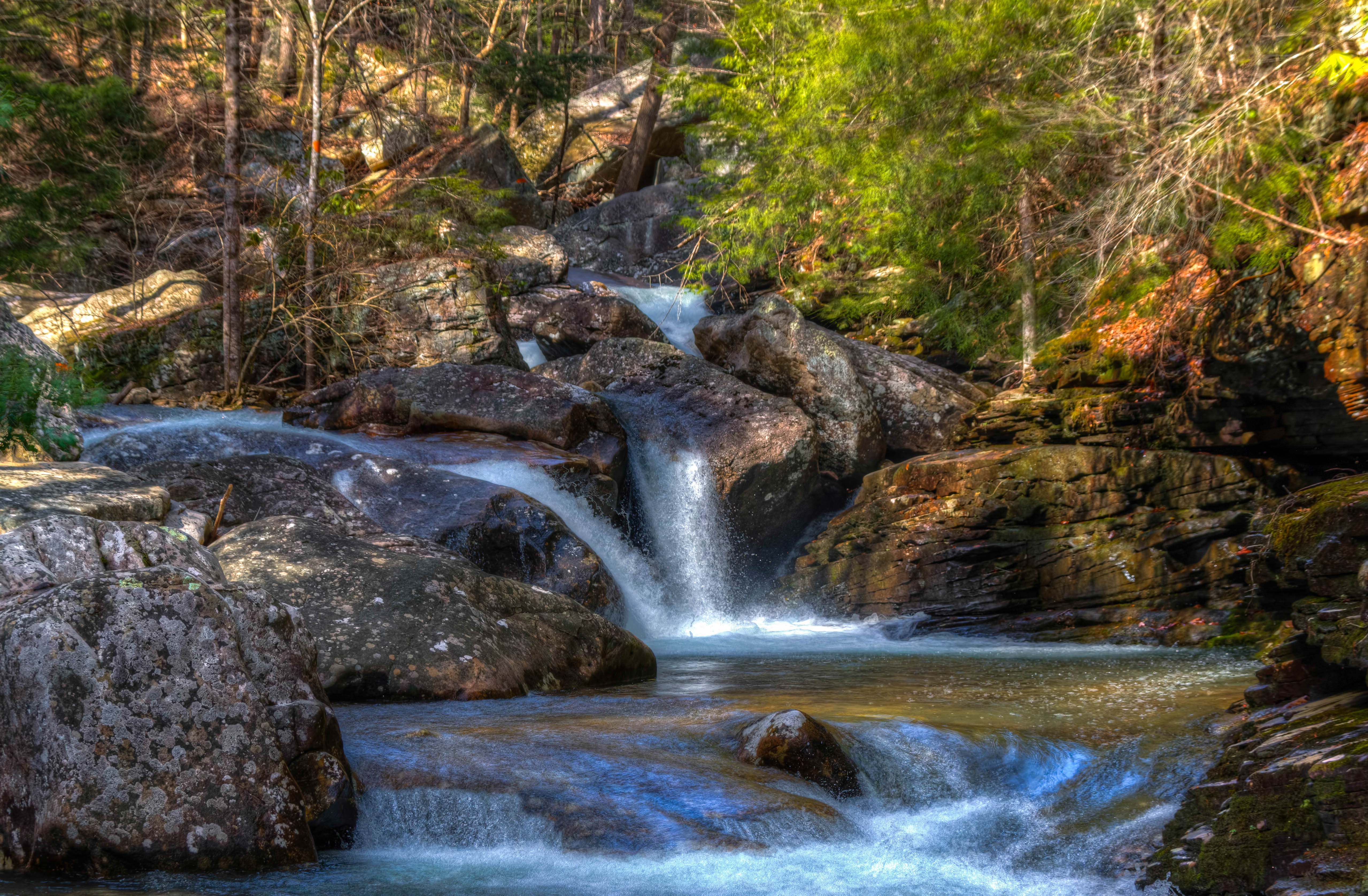
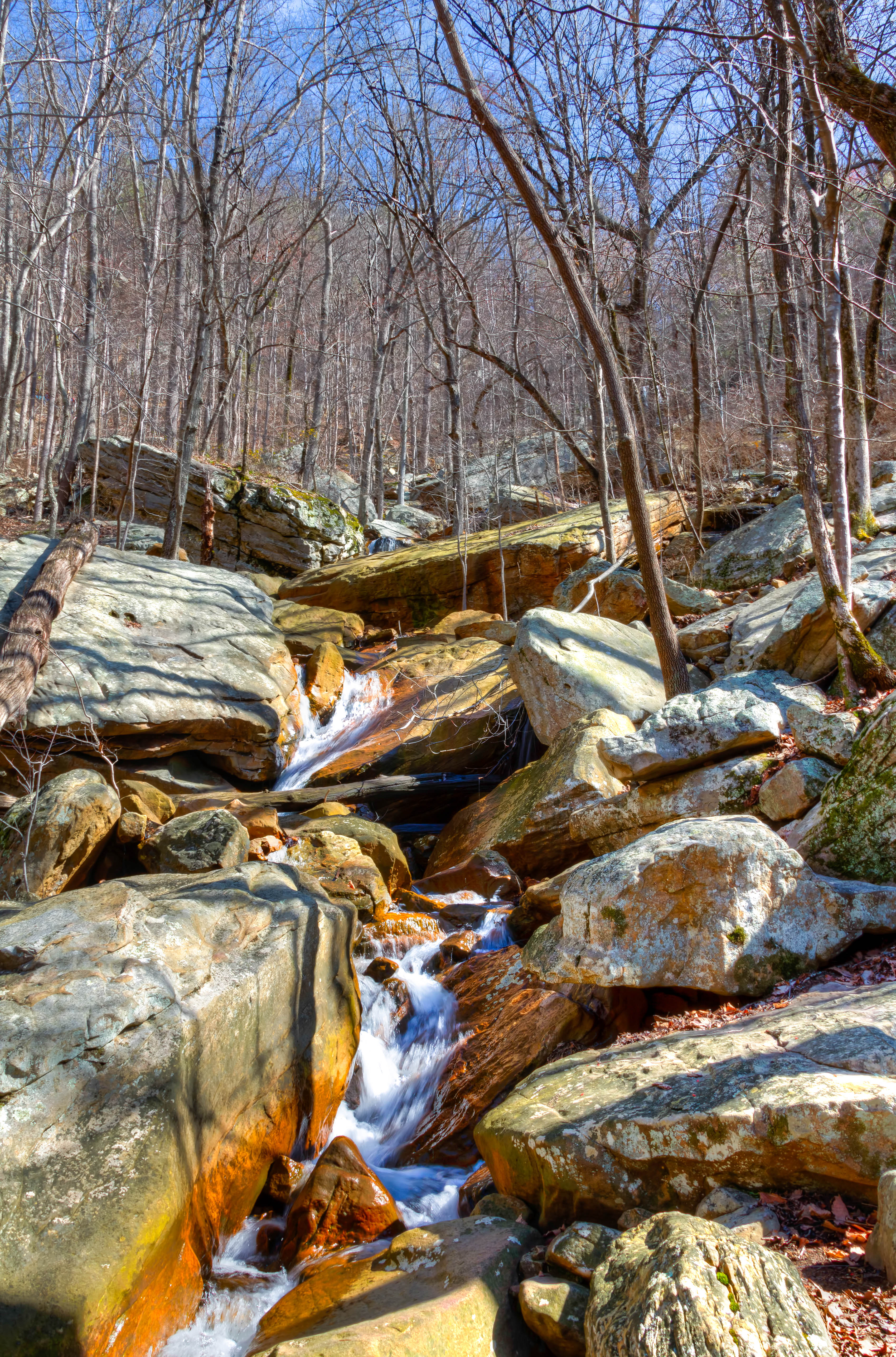
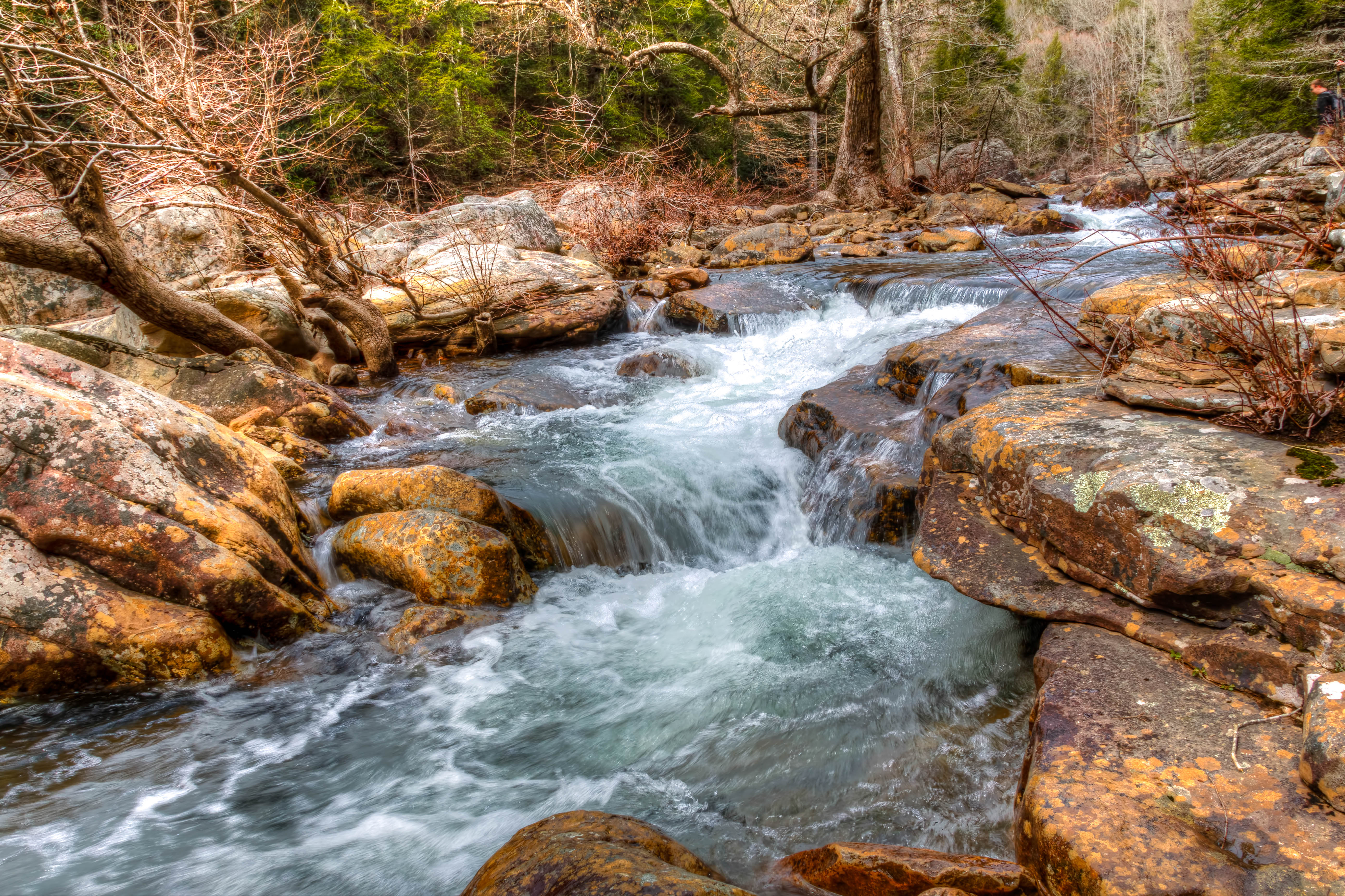
Hogskin Branch
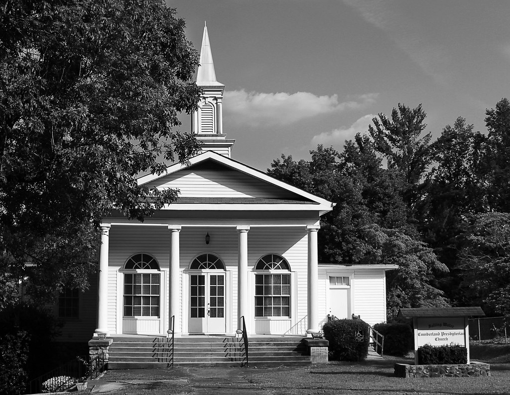
Falling Water Presbyterian Church

Recording Haven for your viewing pleasure today @ 2.
WBrowSignalMtn-3

~Sunset Fishing~

Lake view
Autumn's Arch

Caution: Boulder

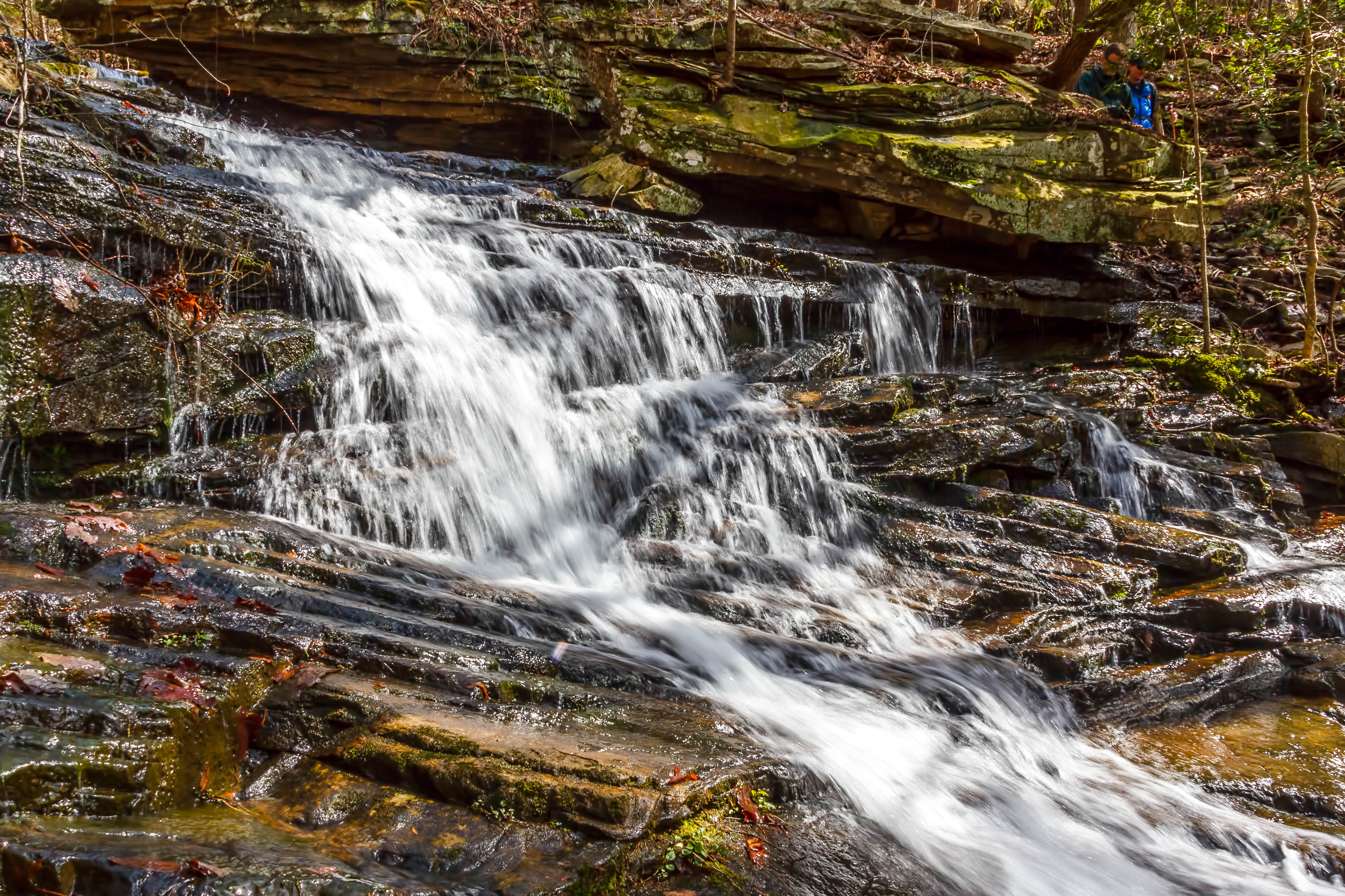
Cooper Creek Falls - North Chickamauga Trail Segment of the Cumberland Trail - February 16, 2013
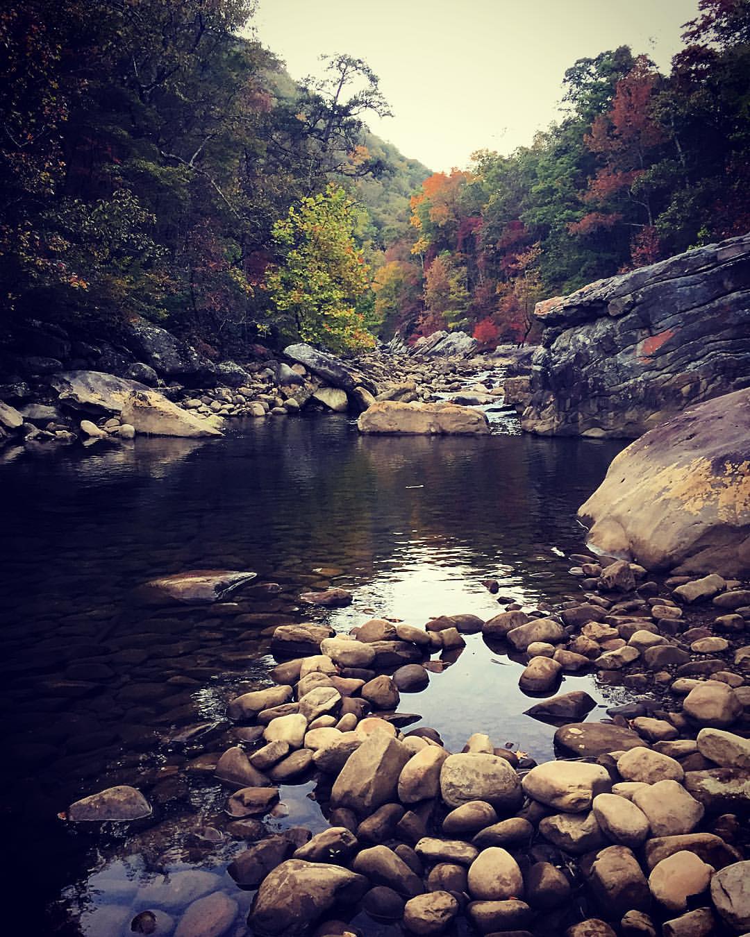
North Chickamauga Trail Segment of the Cumberland Trail
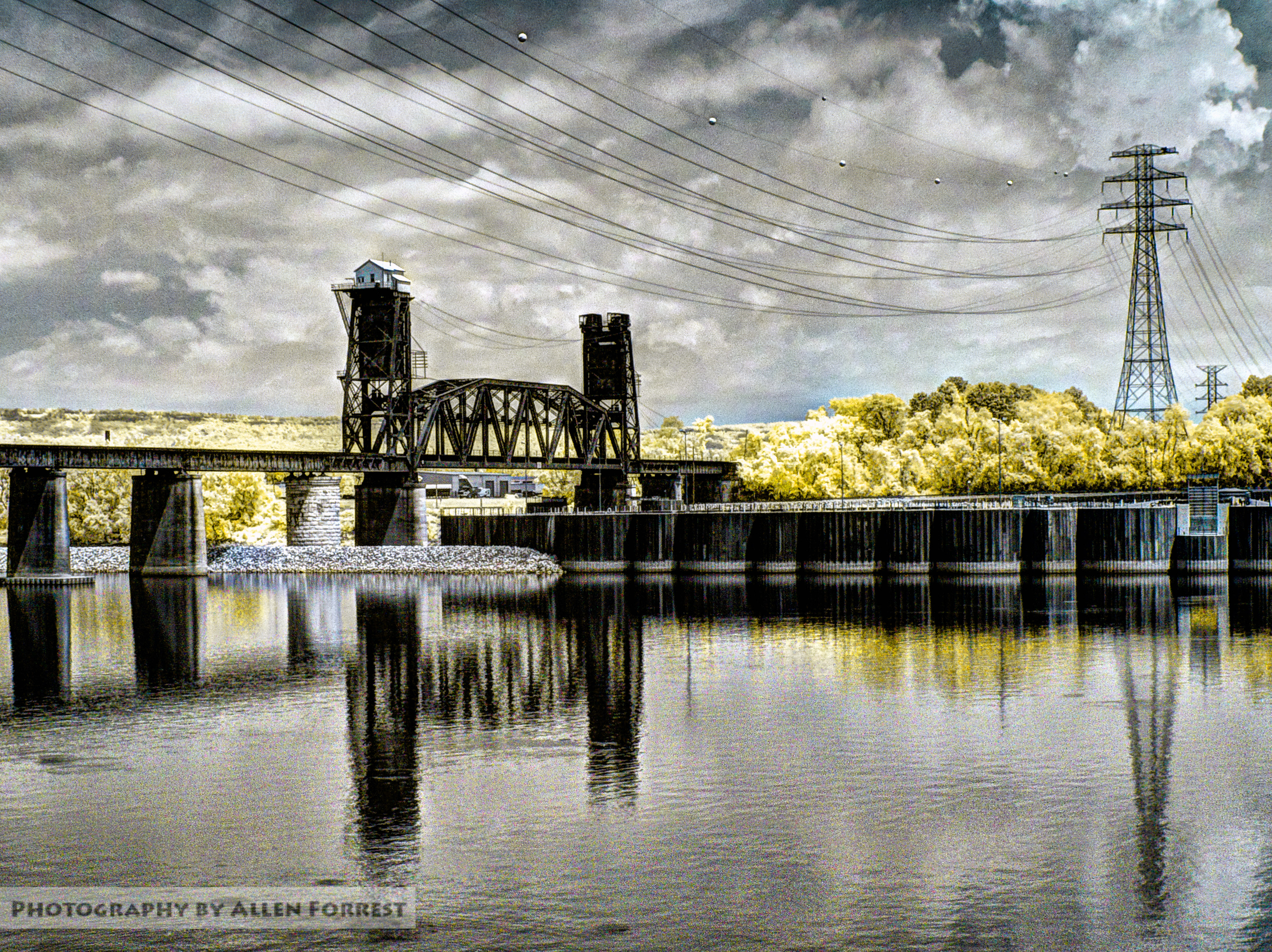
Chickamauga Dam
North Chickamauga Trail Segment of the Cumberland Trail
North Chickamauga Trail Segment of the Cumberland Trail
North Chickamauga Trail Segment of the Cumberland Trail

North Chickamauga Trail Segment of the Cumberland Trail - February 16, 2013

Cooper Creek Falls - North Chickamauga Trail Segment of the Cumberland Trail - February 16, 2013

The Woods of Chattanooga

The Woods of Chattanooga
North Chickamauga Trail Segment of the Cumberland Trail

NS Train 64Q
Cooper Creek Falls - North Chickamauga Trail Segment of the Cumberland Trail - February 16, 2013
North Chickamauga Trail Segment of the Cumberland Trail
North Chickamauga Trail Segment of the Cumberland Trail
Fall is in full force. ????????????????#exploreTN #exploremore #explore #rei #rei1440project #RedefineTheOutdoors #tn #tnwild #tennessee #ighikers #igerstennessee #instagramtennessee #outside #outdoors #OutdoorsUSA #onlyt
North Chickamauga Trail Segment of the Cumberland Trail
Topographic Map of Falling Water Road, Falling Water Rd, Hixson, TN, USA
Find elevation by address:

Places near Falling Water Road, Falling Water Rd, Hixson, TN, USA:
Roberts Mill Rd, Hixson, TN, USA
7714 Selcer Rd
1453 Roberts Mill Rd
Levi Road
687 Boy Scout Rd
205 Johnson Rd
1510 Laurel Breeze Ln
7626 Sawyer Rd
898 Levi Cemetery Rd
6033 Browntown Rd
Little Bend Road
2300 Little Bend Rd
2318 Little Bend Rd
944 Lower Mill Rd
2318 Little Bend Rd
McCormack Dr, Hixson, TN, USA
8618 Brow Lake Rd
1001 Montlake Rd
449 Kingsridge Dr
440 Kingsridge Dr
Recent Searches:
- Elevation of Corso Fratelli Cairoli, 35, Macerata MC, Italy
- Elevation of Tallevast Rd, Sarasota, FL, USA
- Elevation of 4th St E, Sonoma, CA, USA
- Elevation of Black Hollow Rd, Pennsdale, PA, USA
- Elevation of Oakland Ave, Williamsport, PA, USA
- Elevation of Pedrógão Grande, Portugal
- Elevation of Klee Dr, Martinsburg, WV, USA
- Elevation of Via Roma, Pieranica CR, Italy
- Elevation of Tavkvetili Mountain, Georgia
- Elevation of Hartfords Bluff Cir, Mt Pleasant, SC, USA