Elevation of Fairview, KS, USA
Location: United States > Kansas > Labette County >
Longitude: -95.2057909
Latitude: 37.1617396
Elevation: 271m / 889feet
Barometric Pressure: 0KPa
Related Photos:

view from the bluff
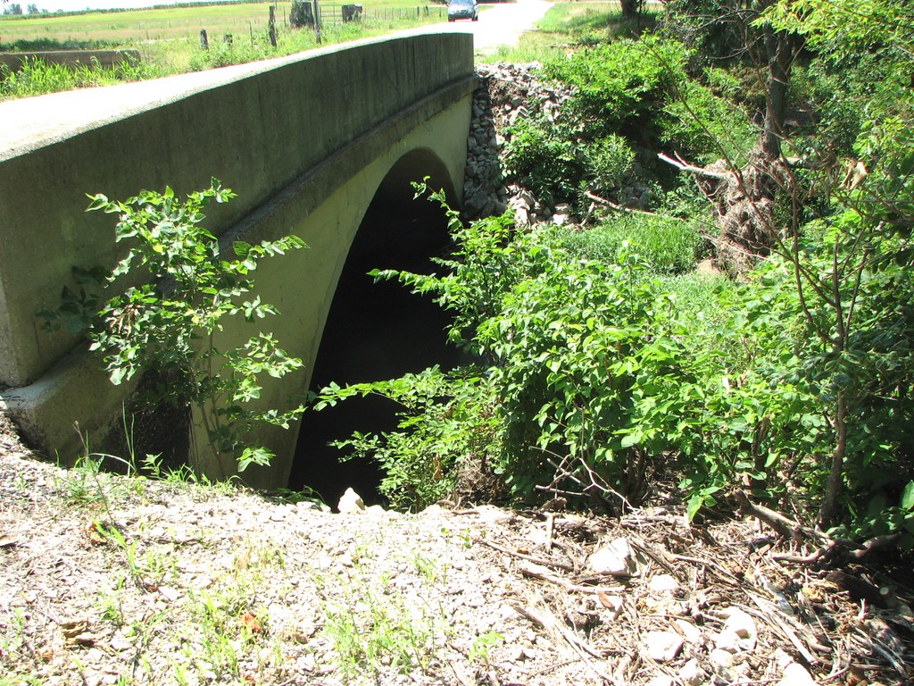
Arch View: Branch of Pumpkin Creek

strip pit
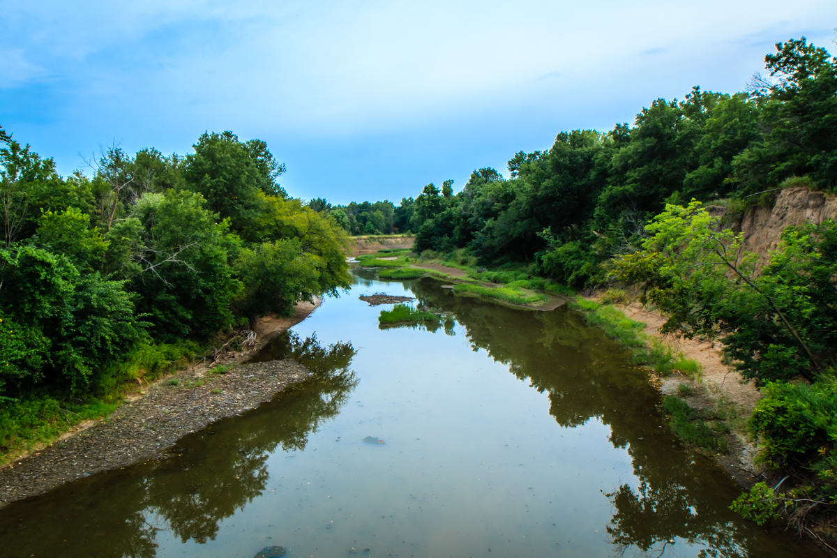
Labette Creek
strip pit
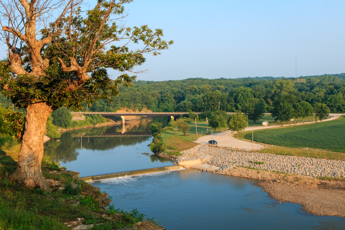
Neosho River from Riverside Park

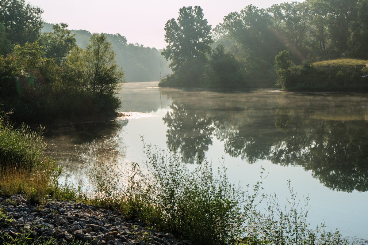
good morning Oswego Kansas
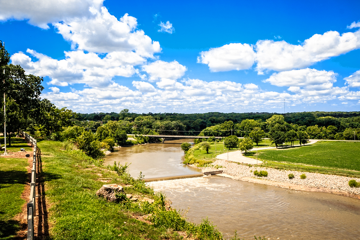
Riverside Park overlook
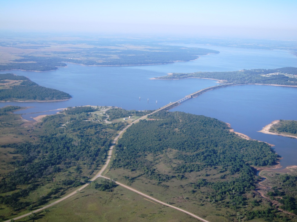
IMG4085r Kaw Lake OK.jpg

IMG4097r Ponca City OK.jpg

barn with big door
Topographic Map of Fairview, KS, USA
Find elevation by address:

Places in Fairview, KS, USA:
Places near Fairview, KS, USA:
Scott Rd, Oswego, KS, USA
Labette
Hackberry St, Oswego, KS, USA
Lavender Farms
Liberty
Hackberry
Center Bethel Church
Main St, Bartlett, KS, USA
Bartlett
Mount Pleasant
Labette County
Elm Grove
Maple St, Chetopa, KS, USA
North
Scott Rd, Parsons, KS, USA
Elm Grove Cemetery
Safe Haven Outreach Mission
Big Sky Bistro
Sun Graphics
Parsons
Recent Searches:
- Elevation of Denver, 2314, Arapahoe Street, Five Points, Denver, Colorado, 80205, USA
- Elevation of Community of the Beatitudes, 2924, West 43rd Avenue, Sunnyside, Denver, Colorado, 80211, USA
- Elevation map of Litang County, Sichuan, China
- Elevation map of Madoi County, Qinghai, China
- Elevation of 3314, Ohio State Route 114, Payne, Paulding County, Ohio, 45880, USA
- Elevation of Sarahills Drive, Saratoga, Santa Clara County, California, 95070, USA
- Elevation of Town of Bombay, Franklin County, New York, USA
- Elevation of 9, Convent Lane, Center Moriches, Suffolk County, New York, 11934, USA
- Elevation of Saint Angelas Convent, 9, Convent Lane, Center Moriches, Suffolk County, New York, 11934, USA
- Elevation of 131st Street Southwest, Mukilteo, Snohomish County, Washington, 98275, USA
- Elevation of 304, Harrison Road, Naples, Cumberland County, Maine, 04055, USA
- Elevation of 2362, Timber Ridge Road, Harrisburg, Cabarrus County, North Carolina, 28075, USA
- Elevation of Ridge Road, Marshalltown, Marshall County, Iowa, 50158, USA
- Elevation of 2459, Misty Shadows Drive, Pigeon Forge, Sevier County, Tennessee, 37862, USA
- Elevation of 8043, Brightwater Way, Spring Hill, Williamson County, Tennessee, 37179, USA
- Elevation of Starkweather Road, San Luis, Costilla County, Colorado, 81152, USA
- Elevation of 5277, Woodside Drive, Baton Rouge, East Baton Rouge Parish, Louisiana, 70808, USA
- Elevation of 1139, Curtin Street, Shepherd Park Plaza, Houston, Harris County, Texas, 77018, USA
- Elevation of 136, Sellers Lane, Repton, Monroe County, Alabama, 36475, USA
- Elevation of 12914, Elmington Drive, Lakewood Forest, Houston, Harris County, Texas, 77429, USA