Elevation of Safe Haven Outreach Mission, S 24th St, Parsons, KS, USA
Location: United States > Kansas > Labette County > Parsons >
Longitude: -95.2720491
Latitude: 37.3302085
Elevation: 271m / 889feet
Barometric Pressure: 0KPa
Related Photos:
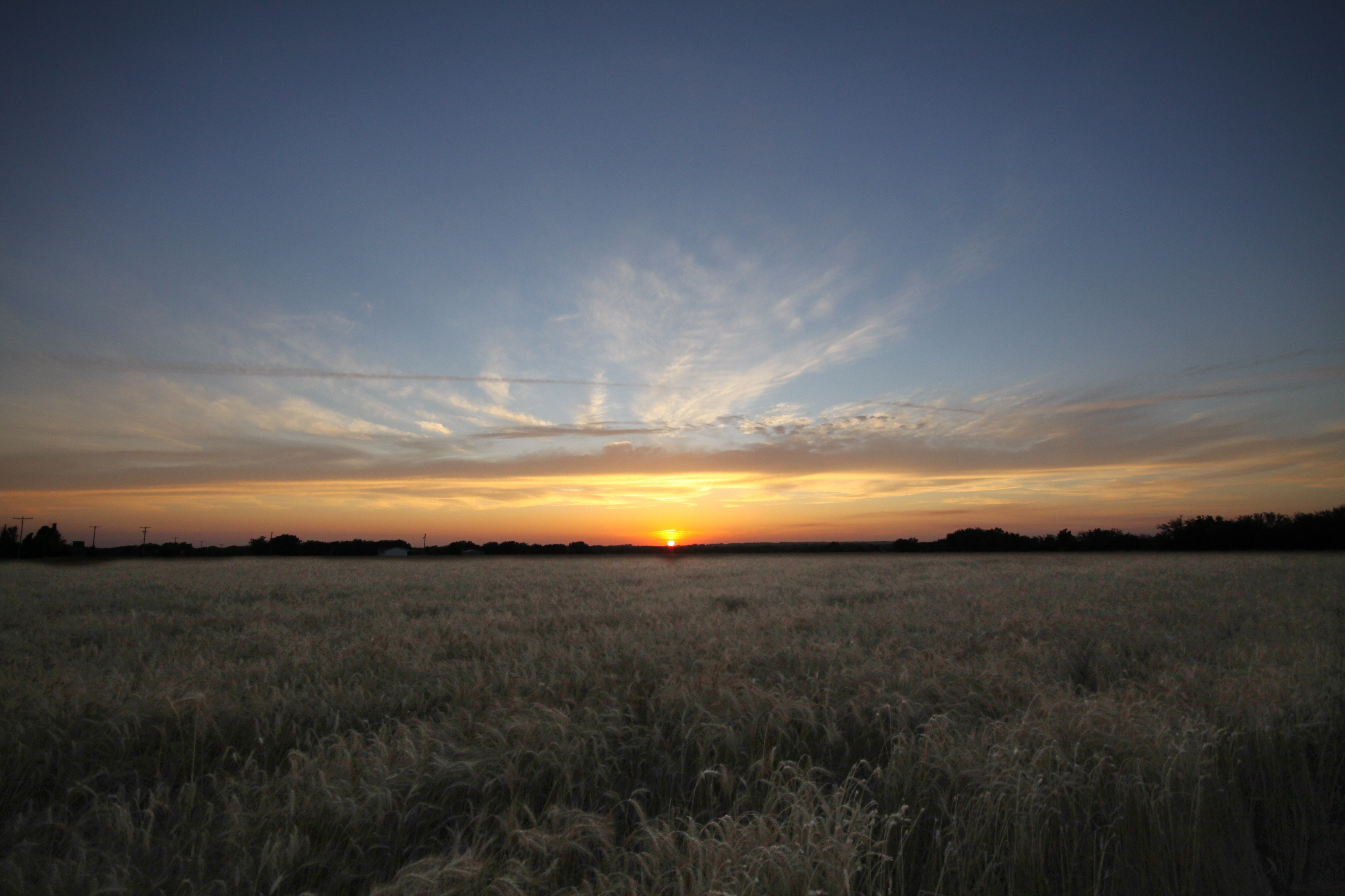
SEK SKY
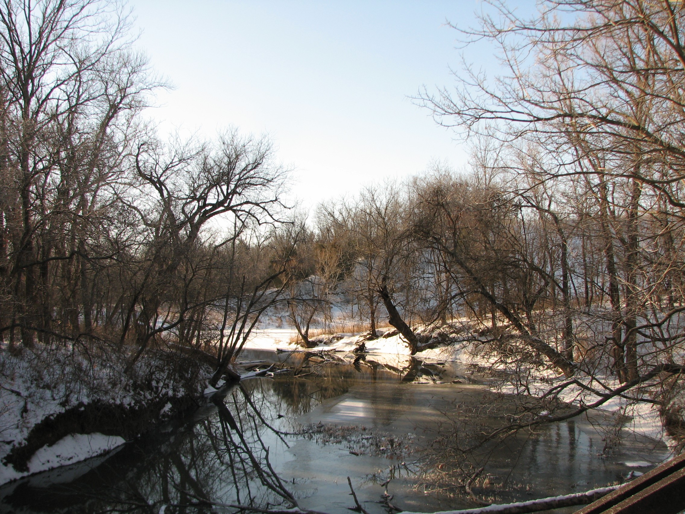
view from a bridge 2
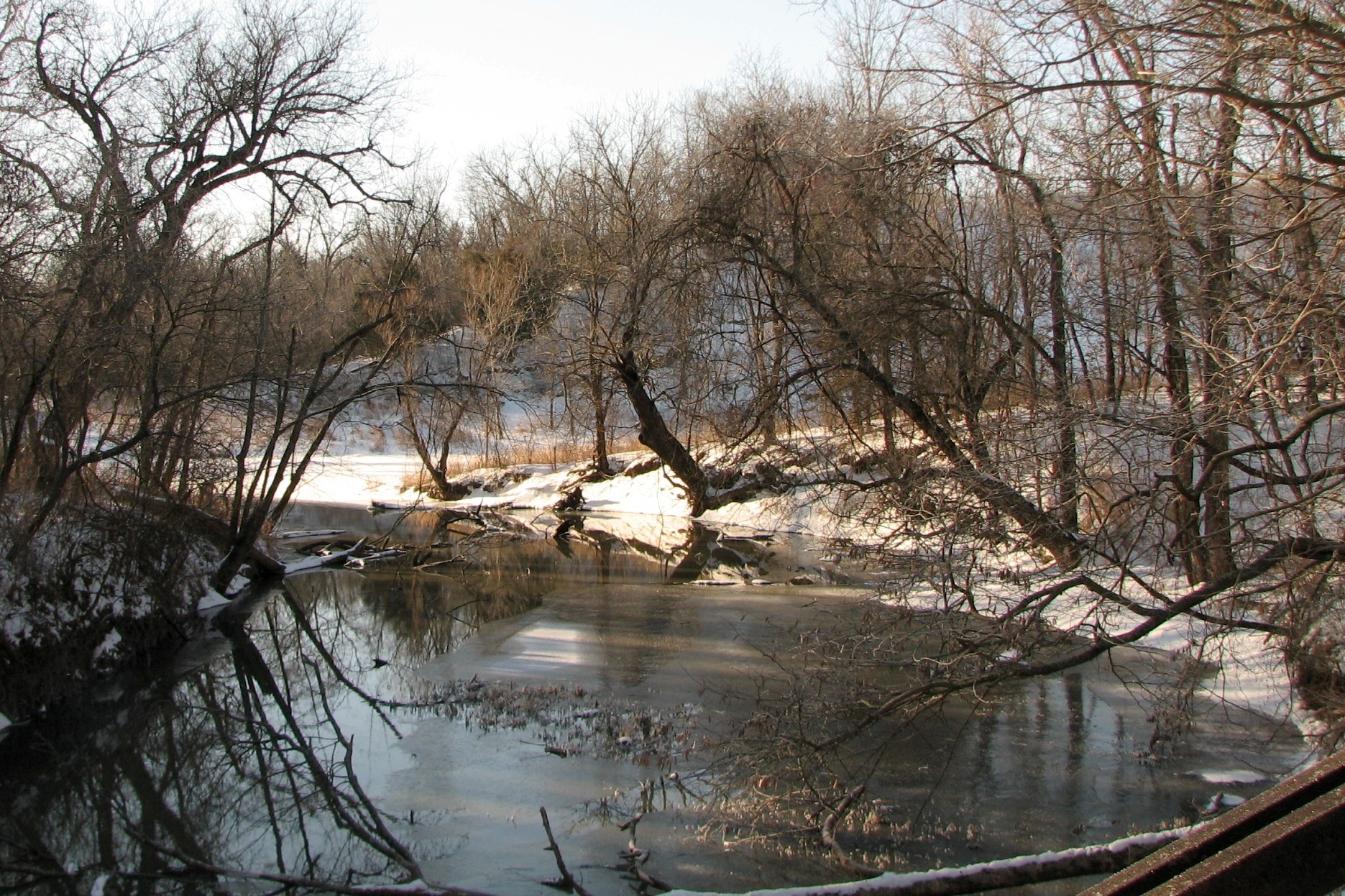
view from a bridge
view from Subway over the underpass
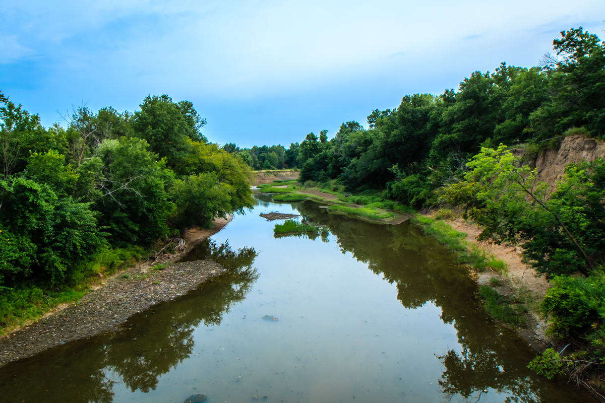
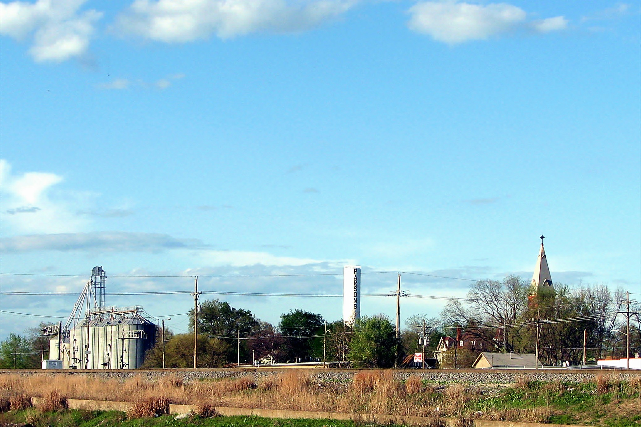
Labette Creek
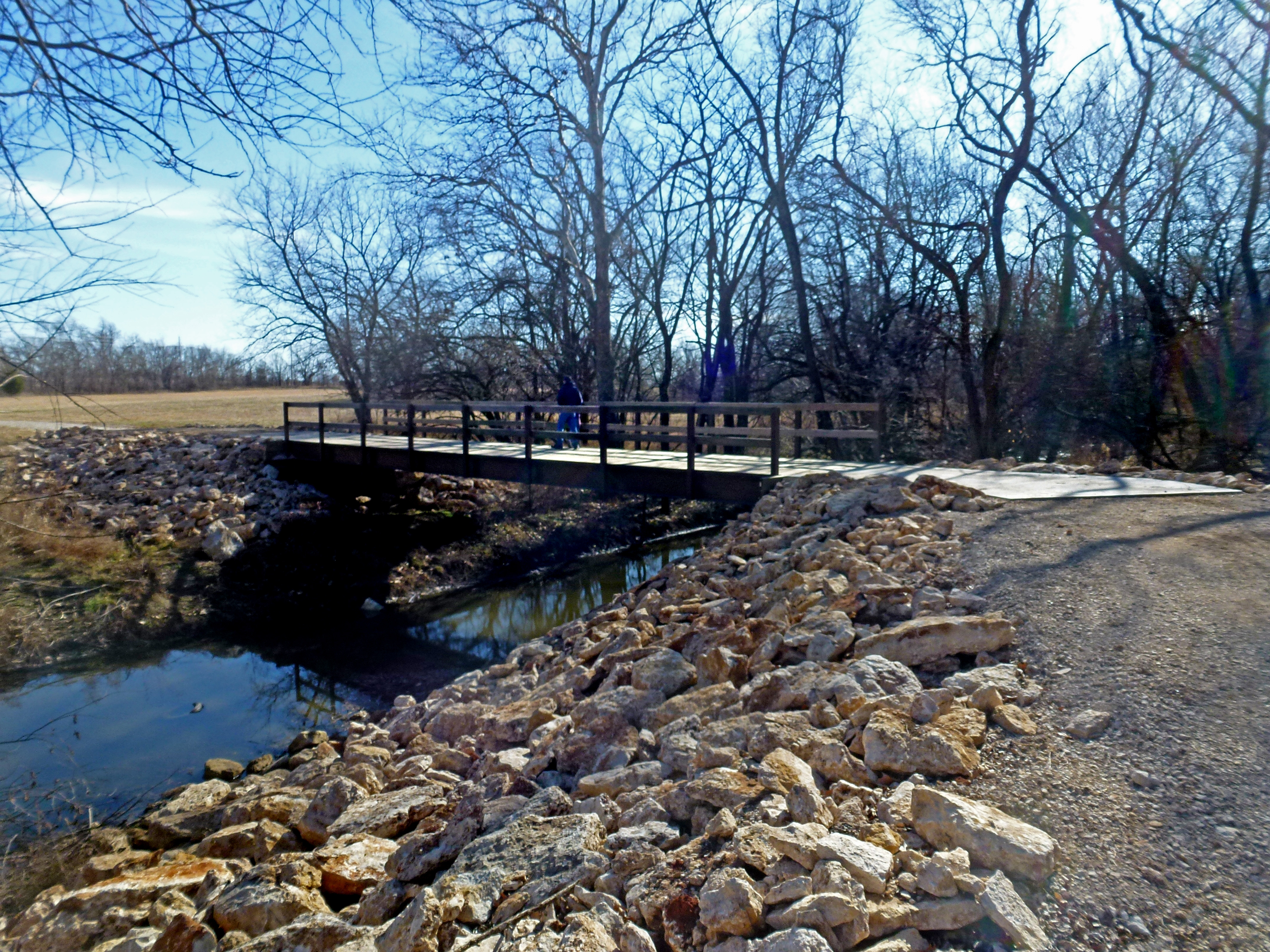
Tolen Creek Bridge
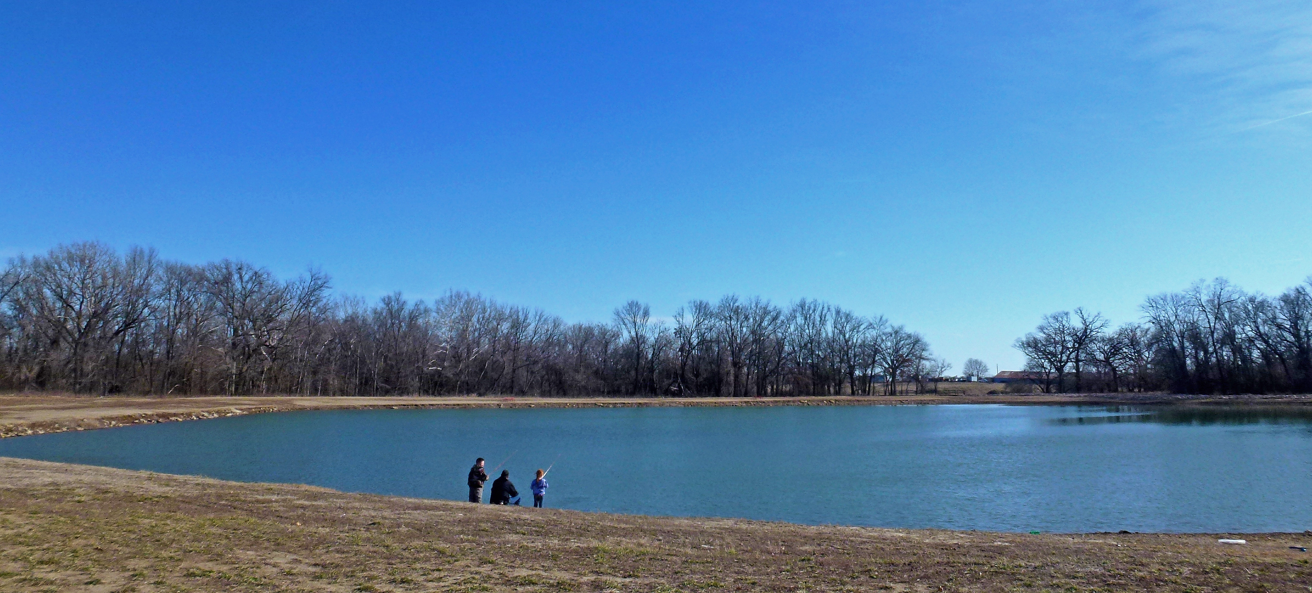
Fishing at Tolen Creek Trails

Fishing at Tolen Creek Pond

Parsons, KS Cemeteries

Parsons, KS Cemeteries

Mt. Olivet Cemetery - Parsons, KS
Topographic Map of Safe Haven Outreach Mission, S 24th St, Parsons, KS, USA
Find elevation by address:

Places near Safe Haven Outreach Mission, S 24th St, Parsons, KS, USA:
Rose, Dr. Thomas A
Sun Graphics
Downtown Soup And Salad
S A Imprints
Parsons
Big Sky Bistro
Parsons State Hospital And Training Center
Elm Ave, Parsons, KS, USA
995 Pratt Rd
Pizzo's Restaurant
Va Medical Center Parsons
North
Labette County
Scott Rd, Parsons, KS, USA
Center Bethel Church
Liberty
777 21000 Rd
Labette
Hackberry St, Oswego, KS, USA
755 21000 Rd
Recent Searches:
- Elevation of 8, Rue de Bécancour, Blainville, Thérèse-De Blainville, Quebec, J7B1N2, Canada
- Elevation of Wilmot Court North, 163, University Avenue West, Northdale, Waterloo, Region of Waterloo, Ontario, N2L6B6, Canada
- Elevation map of Panamá Province, Panama
- Elevation of Balboa, Panamá Province, Panama
- Elevation of San Miguel, Balboa, Panamá Province, Panama
- Elevation of Isla Gibraleón, San Miguel, Balboa, Panamá Province, Panama
- Elevation of 4655, Krischke Road, Schulenburg, Fayette County, Texas, 78956, USA
- Elevation of Carnegie Avenue, Downtown Cleveland, Cleveland, Cuyahoga County, Ohio, 44115, USA
- Elevation of Walhonding, Coshocton County, Ohio, USA
- Elevation of Clifton Down, Clifton, Bristol, City of Bristol, England, BS8 3HU, United Kingdom
- Elevation map of Auvergne-Rhône-Alpes, France
- Elevation map of Upper Savoy, Auvergne-Rhône-Alpes, France
- Elevation of Chamonix-Mont-Blanc, Upper Savoy, Auvergne-Rhône-Alpes, France
- Elevation of 908, Northwood Drive, Bridge Field, Chesapeake, Virginia, 23322, USA
- Elevation map of Nagano Prefecture, Japan
- Elevation of 587, Bascule Drive, Oakdale, Stanislaus County, California, 95361, USA
- Elevation of Stadion Wankdorf, Sempachstrasse, Breitfeld, Bern, Bern-Mittelland administrative district, Bern, 3014, Switzerland
- Elevation of Z024, 76, Emil-von-Behring-Straße, Marbach, Marburg, Landkreis Marburg-Biedenkopf, Hesse, 35041, Germany
- Elevation of Gaskill Road, Hunts Cross, Liverpool, England, L24 9PH, United Kingdom
- Elevation of Speke, Liverpool, England, L24 9HD, United Kingdom