Elevation of Everest Pl, Rancho Cucamonga, CA, USA
Location: United States > California > San Bernardino County > Rancho Cucamonga >
Longitude: -117.60350
Latitude: 34.116081
Elevation: 401m / 1316feet
Barometric Pressure: 97KPa
Elevation Map:
Satellite Map:
Related Photos:
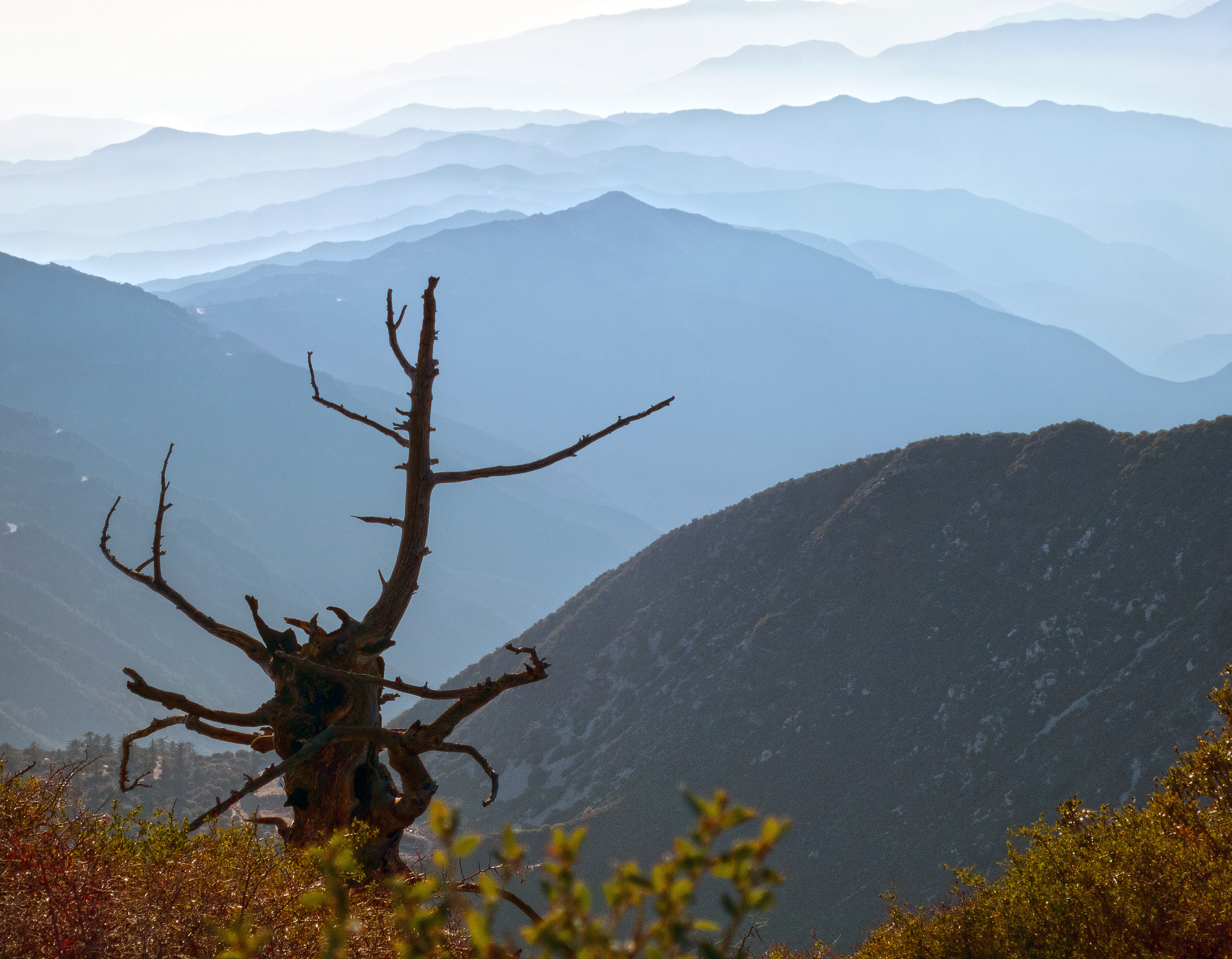
Blue Haze, Sugarloaf Peak

Fence Ornament
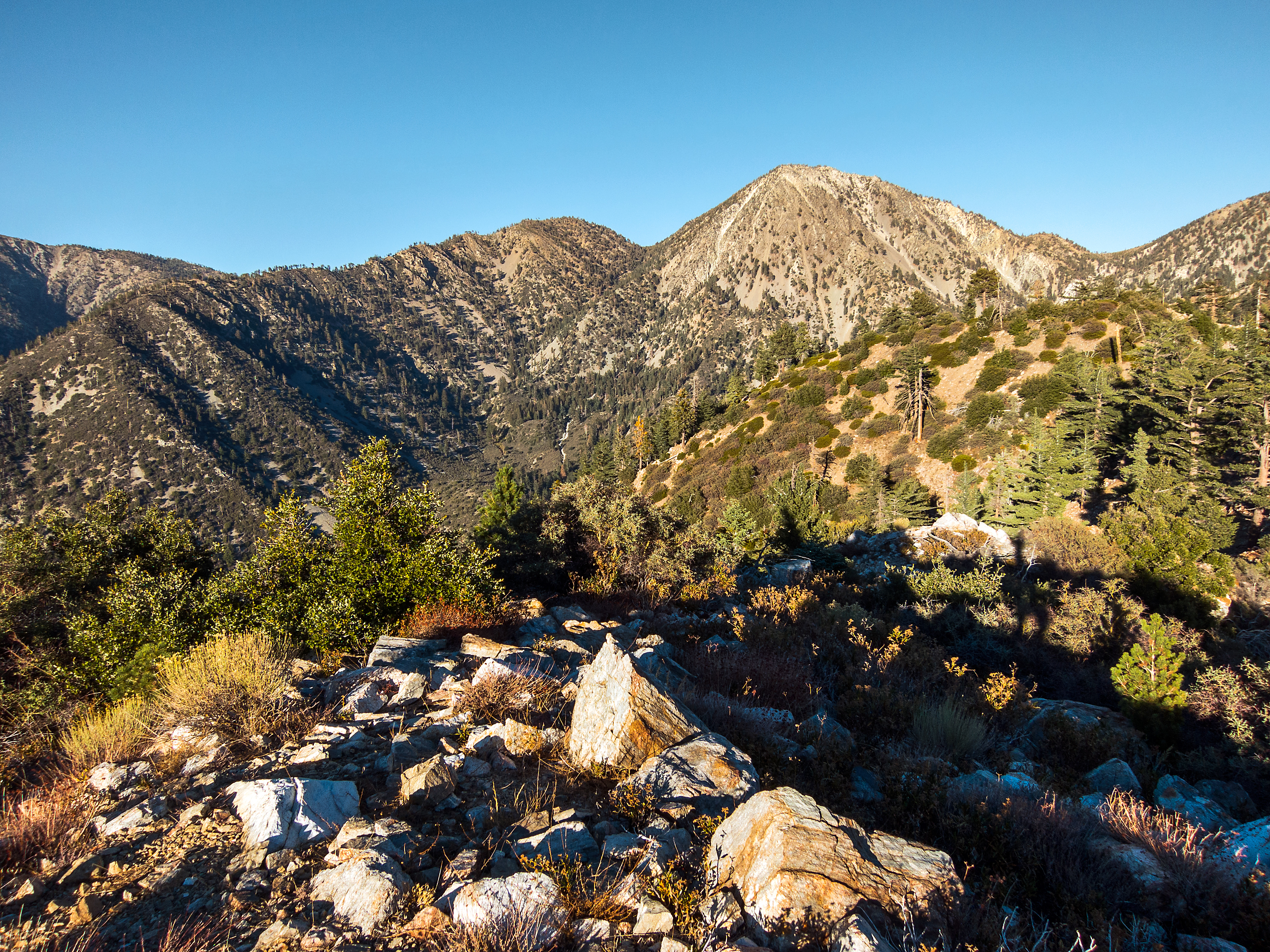
Telegraph Peak from Sugarloaf
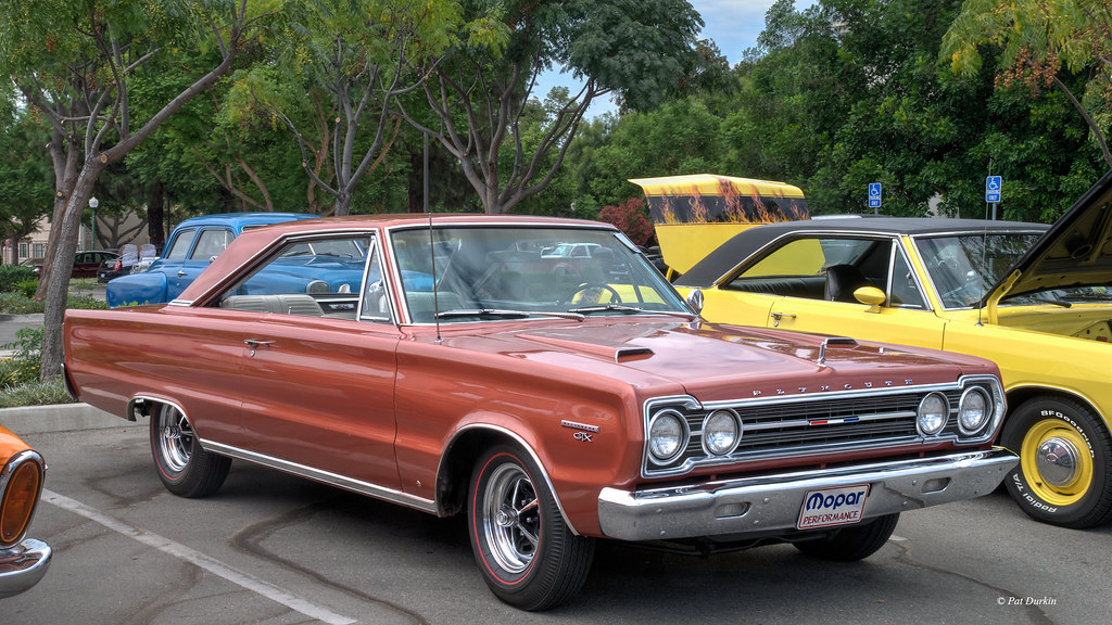
1967 Plymouth Belvedere GTX Hardtop
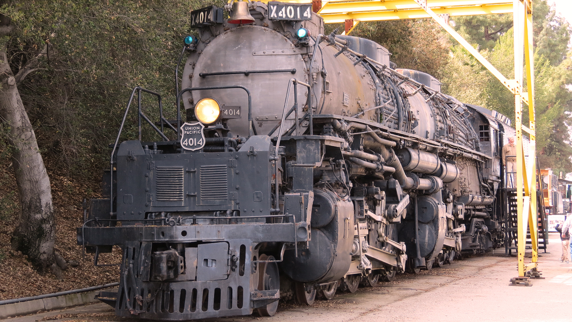
UP Big Boy 4014
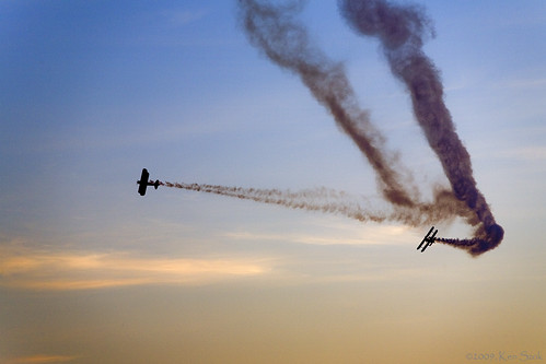
Stearmans Breaking Left
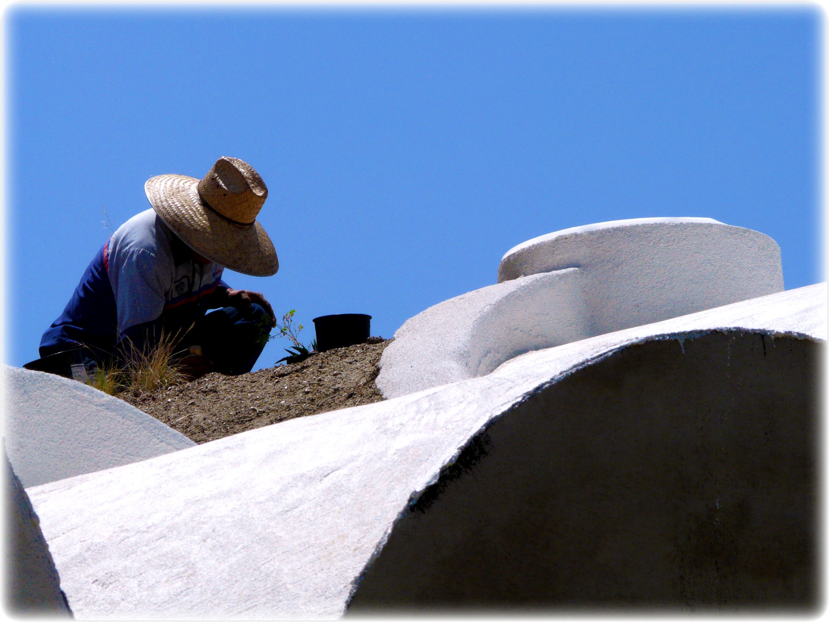
Planting roof garden for uncommon good
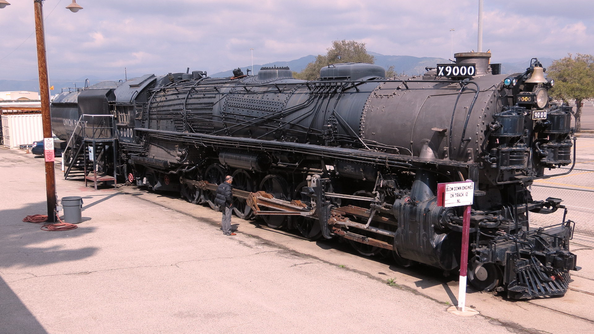
Union Pacific 4-12-2 9000
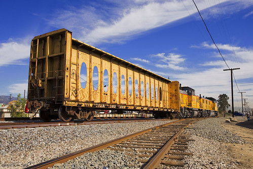
Yellow Train
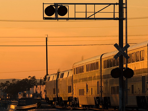
Amtrak Sunset
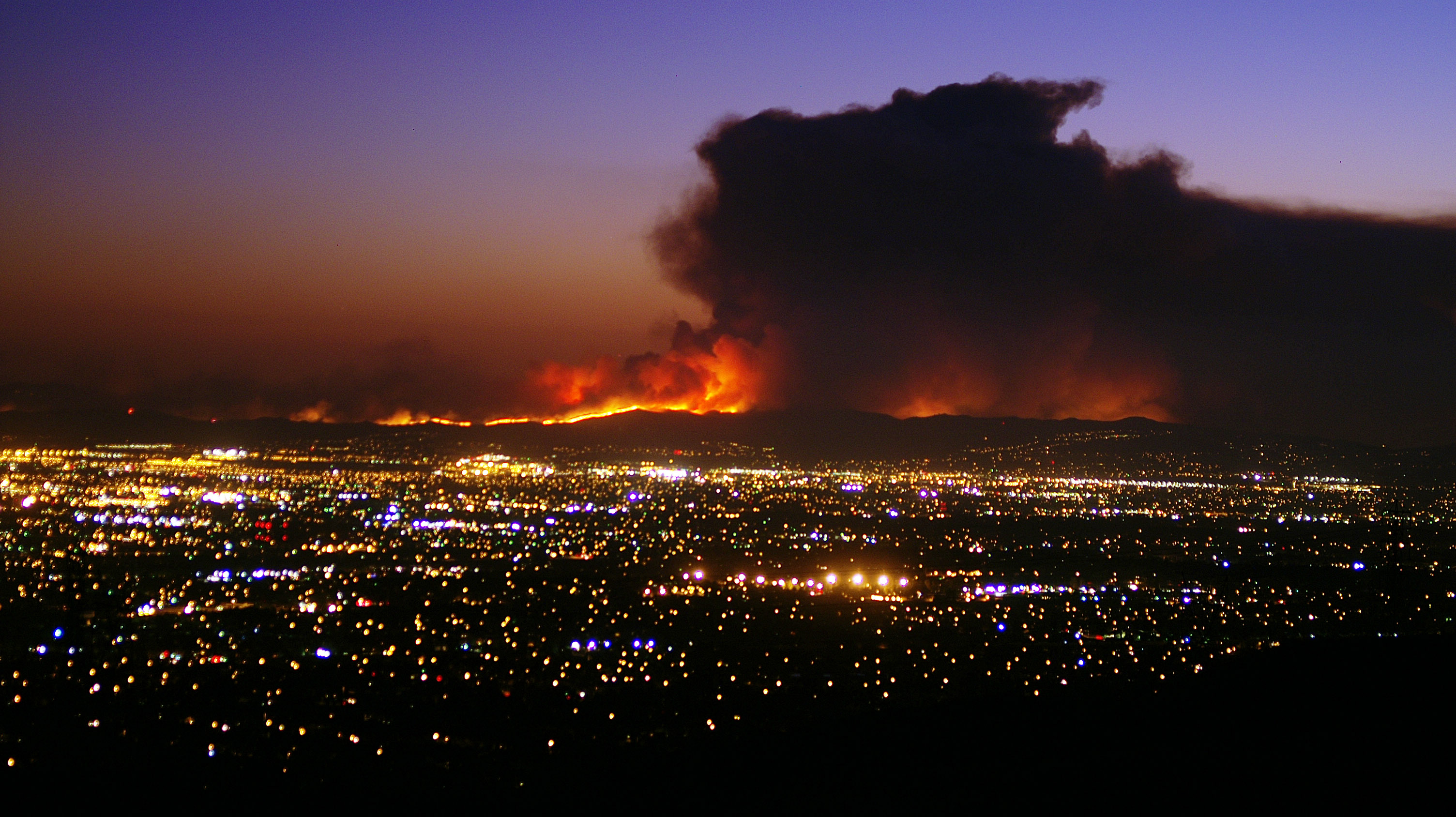
Sunset view of the 91 Freeway Fire
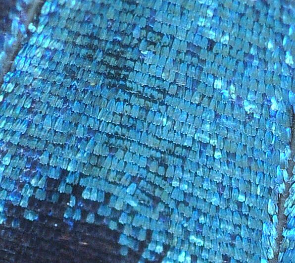
Pipevine Swallowtail Wing Scales, 20x life-size

F-22 Raptor & Heritage Flight : USAF F-22 Raptor Demonstration Team & Vintage Fighter Aircraft Heritage Flight
Planes of Fame Air Museum - DSC_3717c
Eastbound @ Sunrise

amber rouge jazz
Afternoon Haze, Suglarloaf Mountain

View to #bigbear lake from the slopes ⛄☀ #igerscalifornia #igersla

Good Day Sunshine

Cessna Glint

Recently Eclosed Pipevine Swallowtail, male

Heaven Awaits Us

One Colorful Sunset
The pipe
Ice House King

Interstate 15 Northbound Ontario Freeway Barstow - Las Vegas Nevada four left lanes approaches at EXIT 109 - Interstate 10 Freeway EAST San Bernardino / I-10 WEST Los Angeles two right lanes EXIT ONLY with these three overhead signs mounted on gantry
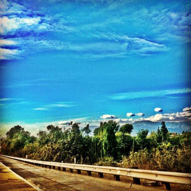
View from the #freeway #trees #clouds #sky #sunny

F-16 Viper at Twilight in Full Afterburner

1957 Ford Fairlane 500 Convertible

Hawker Sea Fury 924 Smoke Trails Demonstration
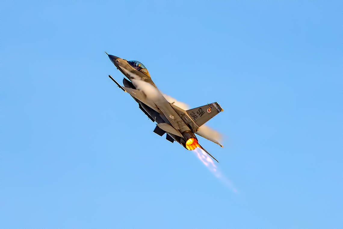
F-16 Viper in Full Afterburner with Vapor Trails
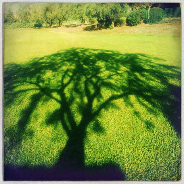
#Morning #tree #shadow at the #park

#howtodestroyangels
Yupp it's that cold Mountain making wanna hit up #MTHigh haven't hit the Slopes in a while

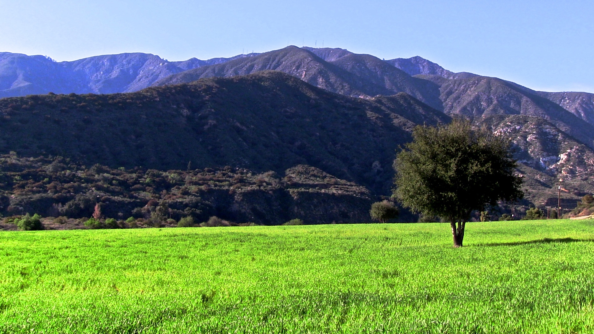
Nice day
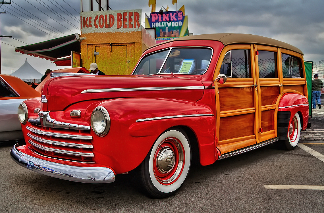
Ford Woody
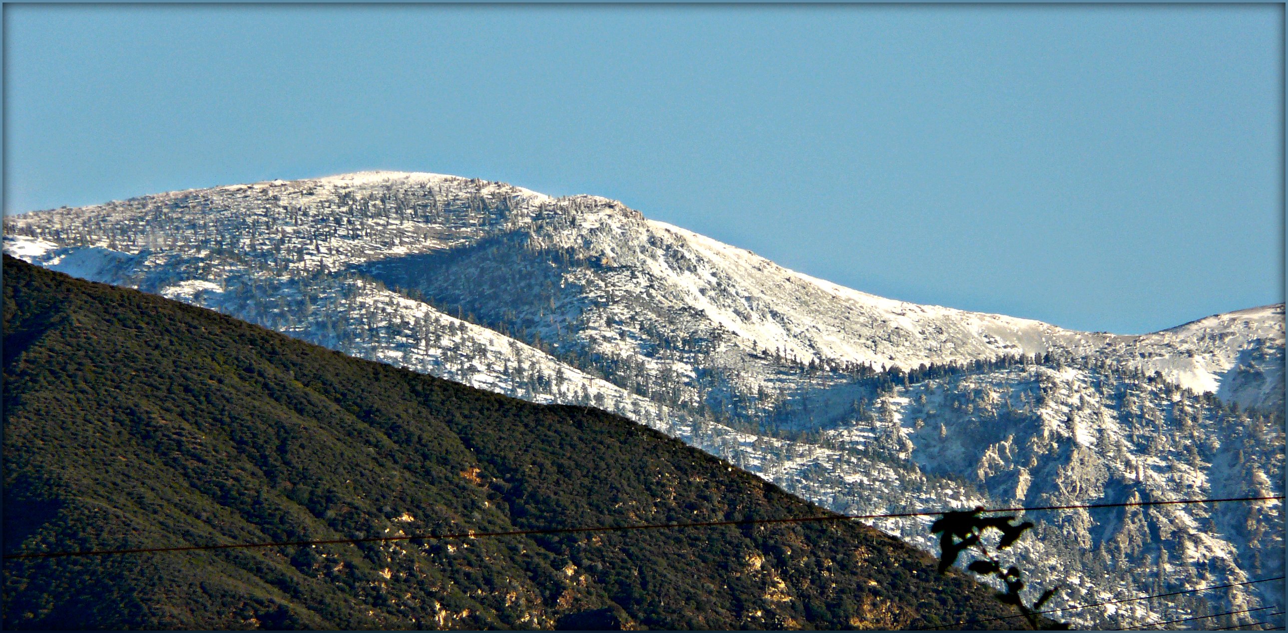
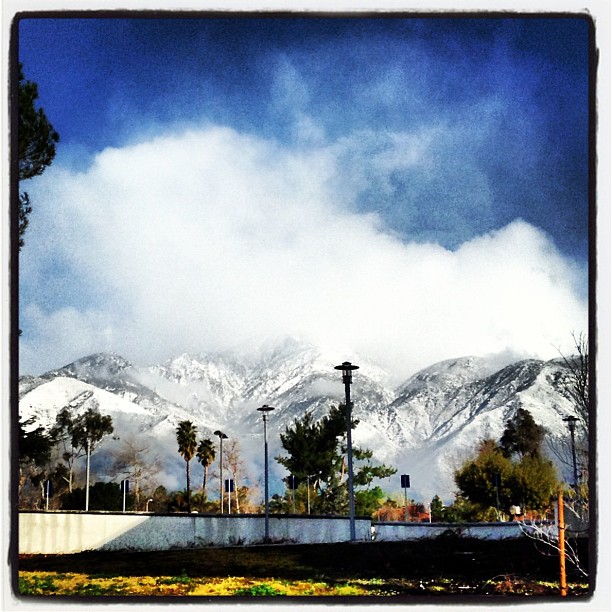
Fresh Snow on Mt Baldy

Icehouse Canyon
Mount Baldy VideoShoot
Topographic Map of Everest Pl, Rancho Cucamonga, CA, USA
Find elevation by address:

Places near Everest Pl, Rancho Cucamonga, CA, USA:
7683 Eastwood Ave
Alta Loma
Roberds St, Rancho Cucamonga, CA, USA
8255 Vineyard Ave
9800 Base Line Rd Spc 126
Rancho Cucamonga
9800 Base Line Rd
7816 Perlite Ave
9385 19th St
9969 Hemlock St
8810 Avalon St
Jadeite Avenue
7897 Valle Vista Dr
8499 Calle Carabe St
7024 Teak Way
9669 Fairfield Ct
Alta Loma, CA, USA
9626 Alta Loma Dr
8318 E Foothill Blvd
10174 Monte Vista St
Recent Searches:
- Elevation of Corso Fratelli Cairoli, 35, Macerata MC, Italy
- Elevation of Tallevast Rd, Sarasota, FL, USA
- Elevation of 4th St E, Sonoma, CA, USA
- Elevation of Black Hollow Rd, Pennsdale, PA, USA
- Elevation of Oakland Ave, Williamsport, PA, USA
- Elevation of Pedrógão Grande, Portugal
- Elevation of Klee Dr, Martinsburg, WV, USA
- Elevation of Via Roma, Pieranica CR, Italy
- Elevation of Tavkvetili Mountain, Georgia
- Elevation of Hartfords Bluff Cir, Mt Pleasant, SC, USA