Elevation of Eugene Rd, Palm Springs, CA, USA
Location: United States > California > Riverside County > Palm Springs >
Longitude: -116.49405
Latitude: 33.8122331
Elevation: 118m / 387feet
Barometric Pressure: 100KPa
Elevation Map:
Satellite Map:
Related Photos:
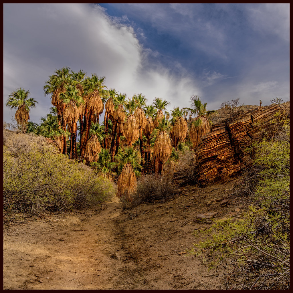
Palm Canyon

Palm Springs Aviation Expo 2014

I Don't Need A Haircut, Mr Tomcat
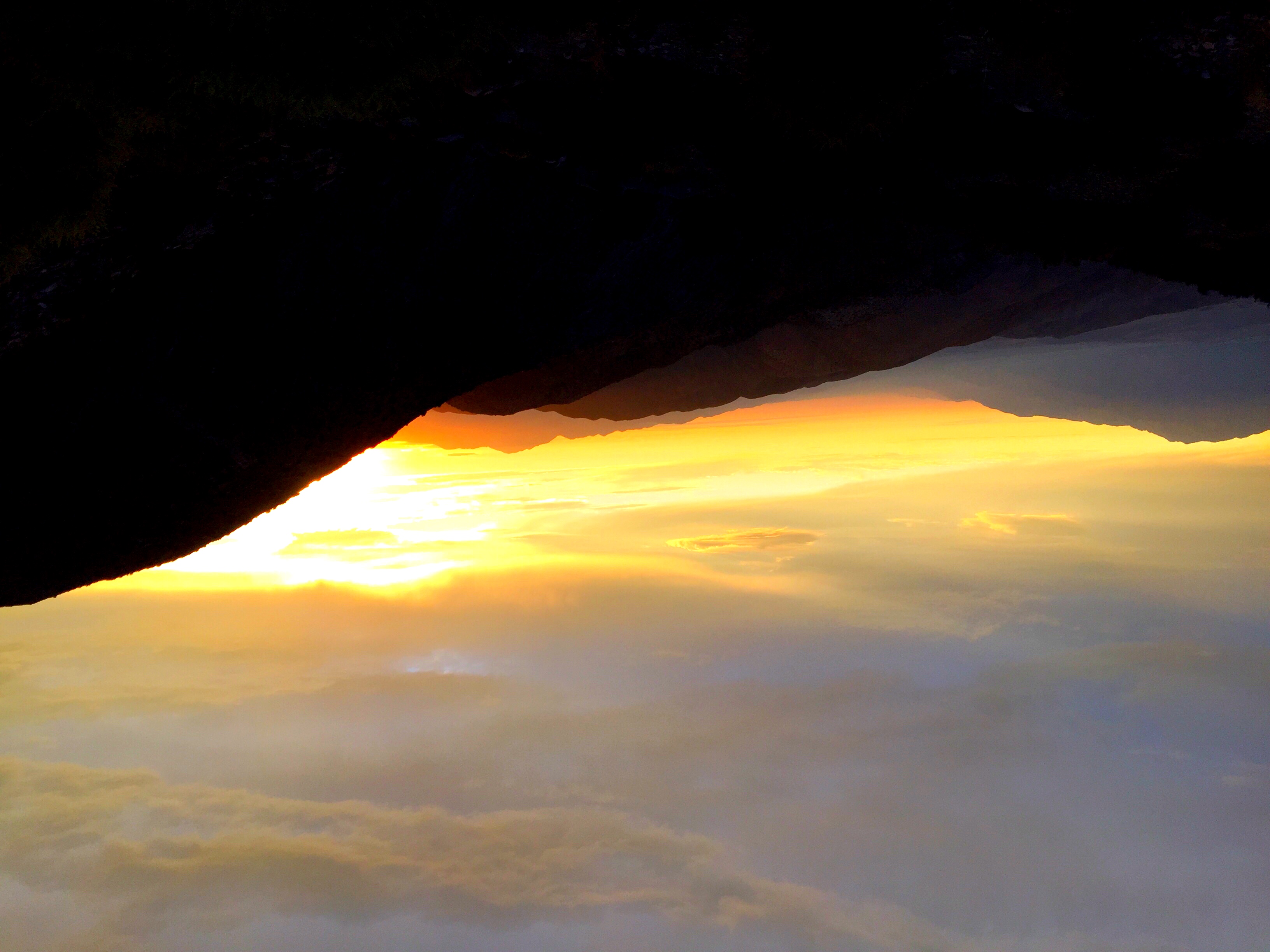
Golden hour at Keys View

Don't Carry Me Too Far Away

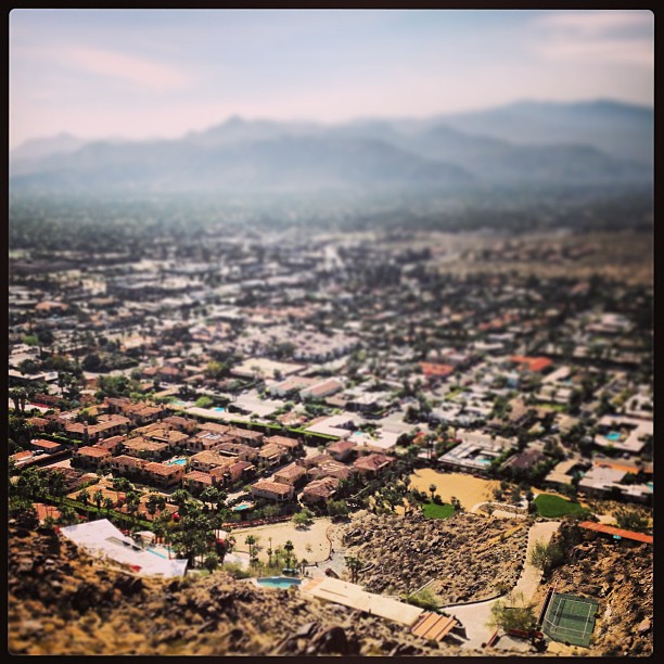
Palm Springs Panorama

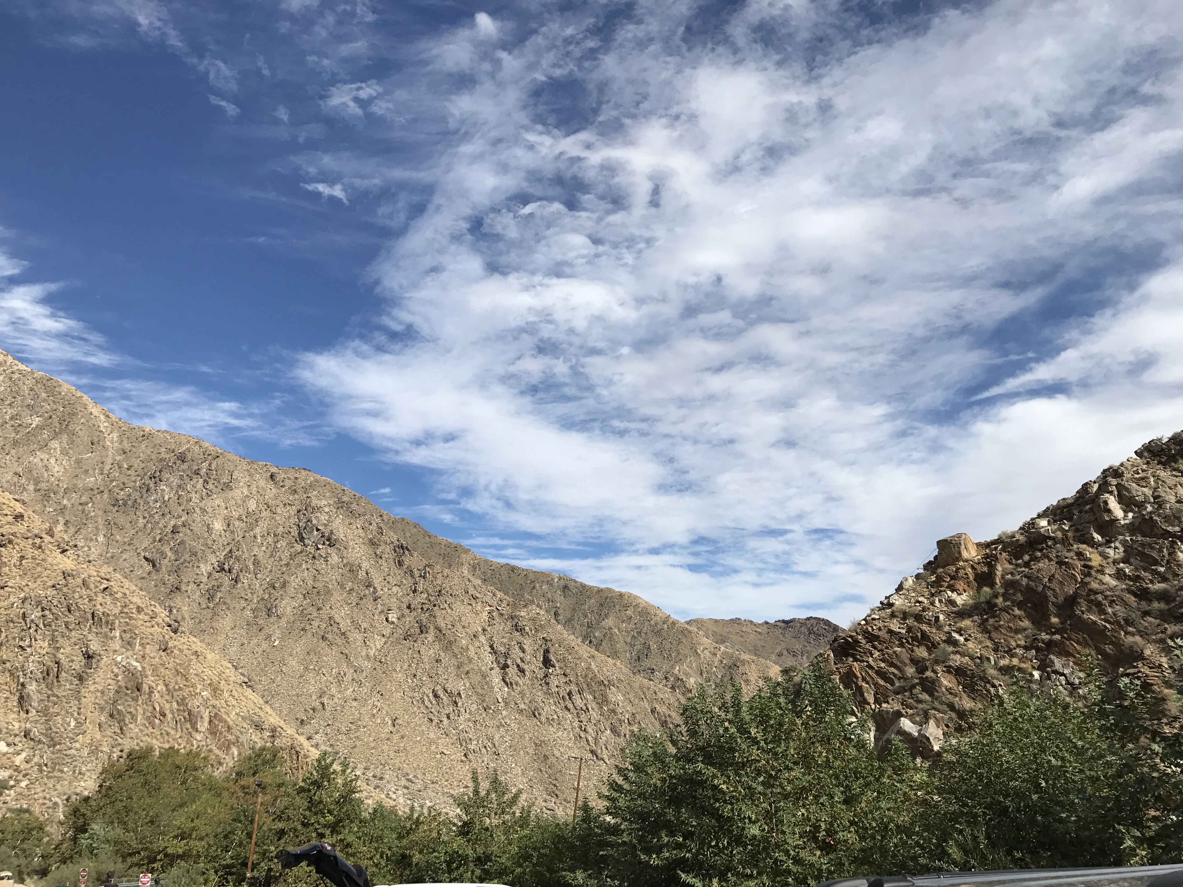
San Jacinto Peak
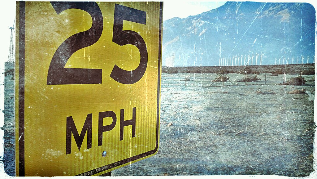
Who Knew, Windmills Have A Speed Limit
Another Distant View of the Mirage

End of the Day #2
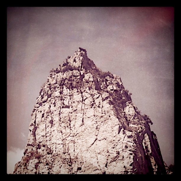
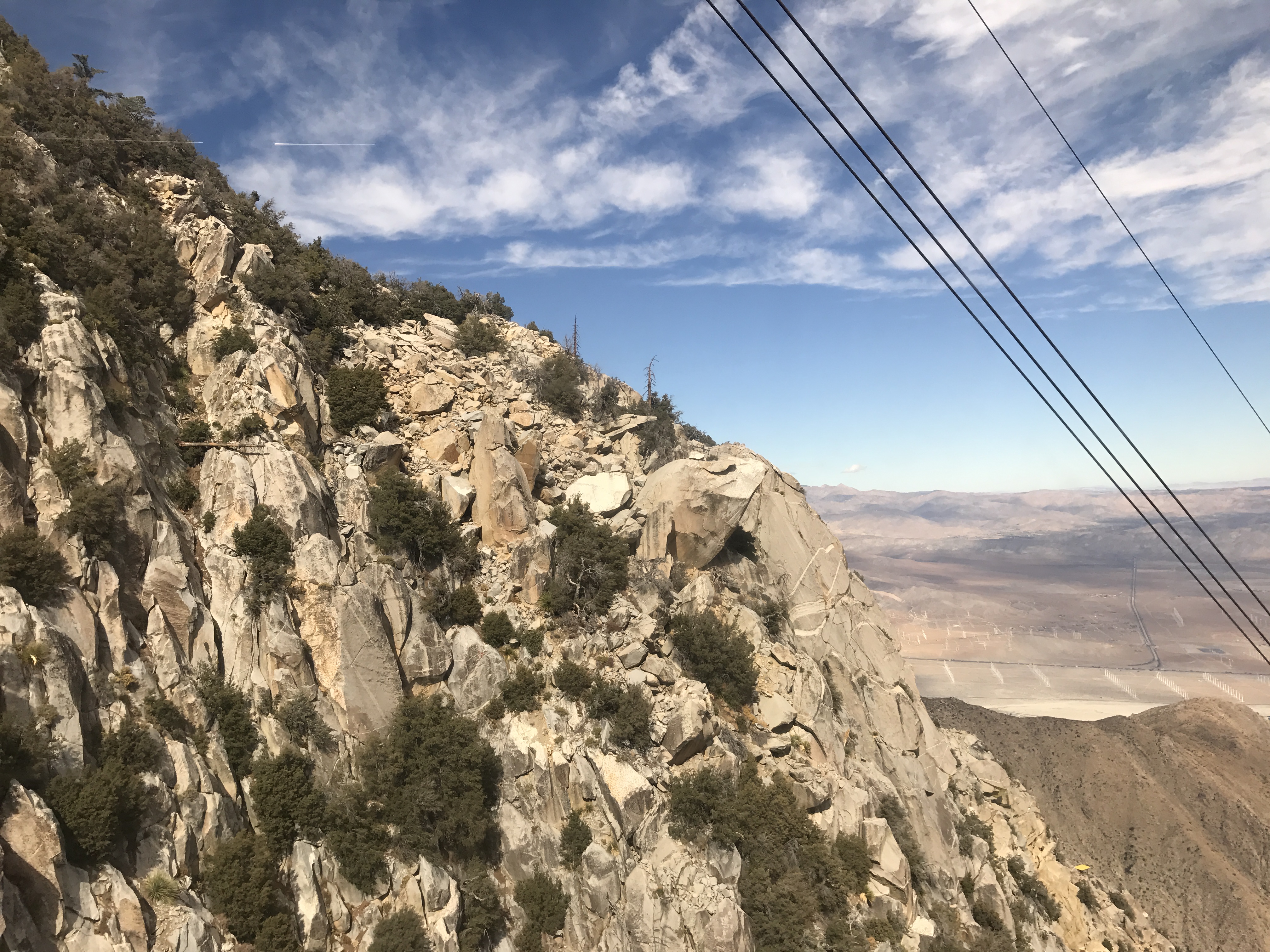
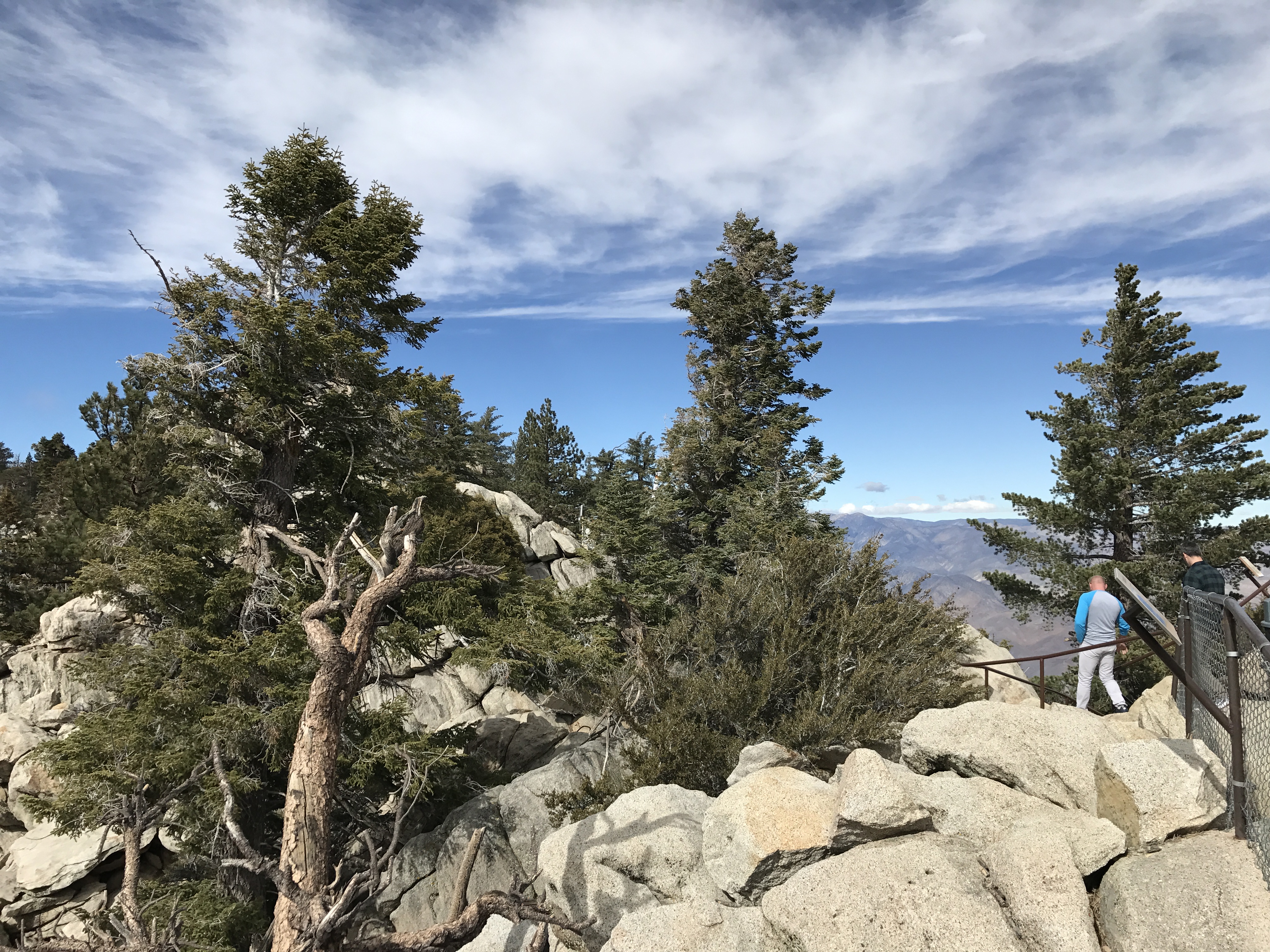
Rocky Tor
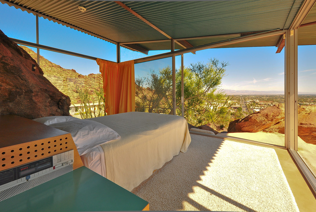
Frey House II

Tough Town

Battle Of The Kissies!!!

On The Go With Sir Fartsalot

It Flaps It's Wings
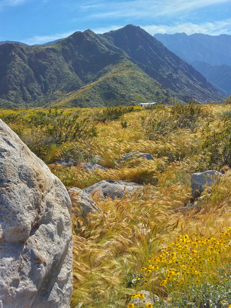
On the Trail

If Your Gonna Put A Chain In Front Of Me

Eastbound Amtrak At Sundown
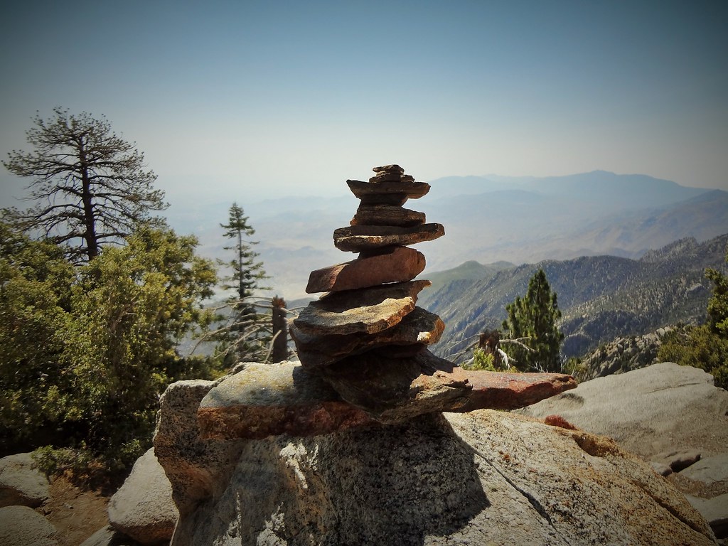
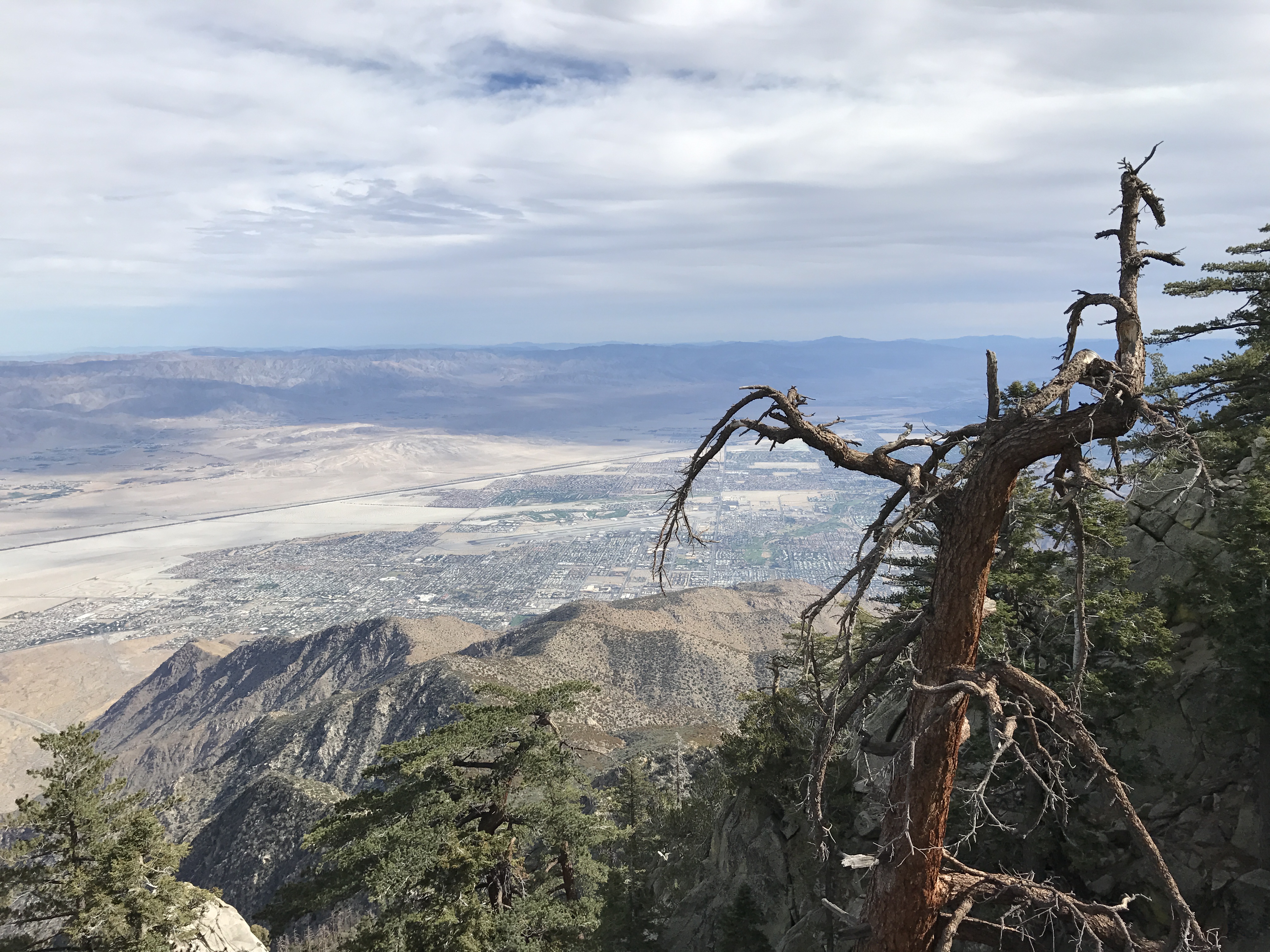
Stacked Vistas
Museum Trail View

Tahquitz Canyon mural 1
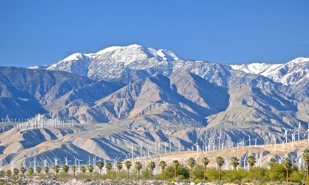
snow capped and wind farmed San Bernardino Mountains, north Palm Springs, San Gorgonio Pass Wind Farm,
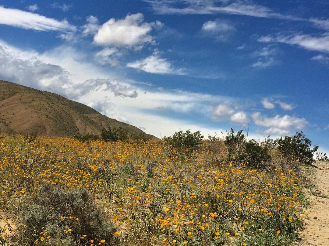
#tiltedpaintingday #TheGoat????Trail #superbloom #thehillsarealive #paintedclouds #wildflowers #omroamsuccess #kamaprana

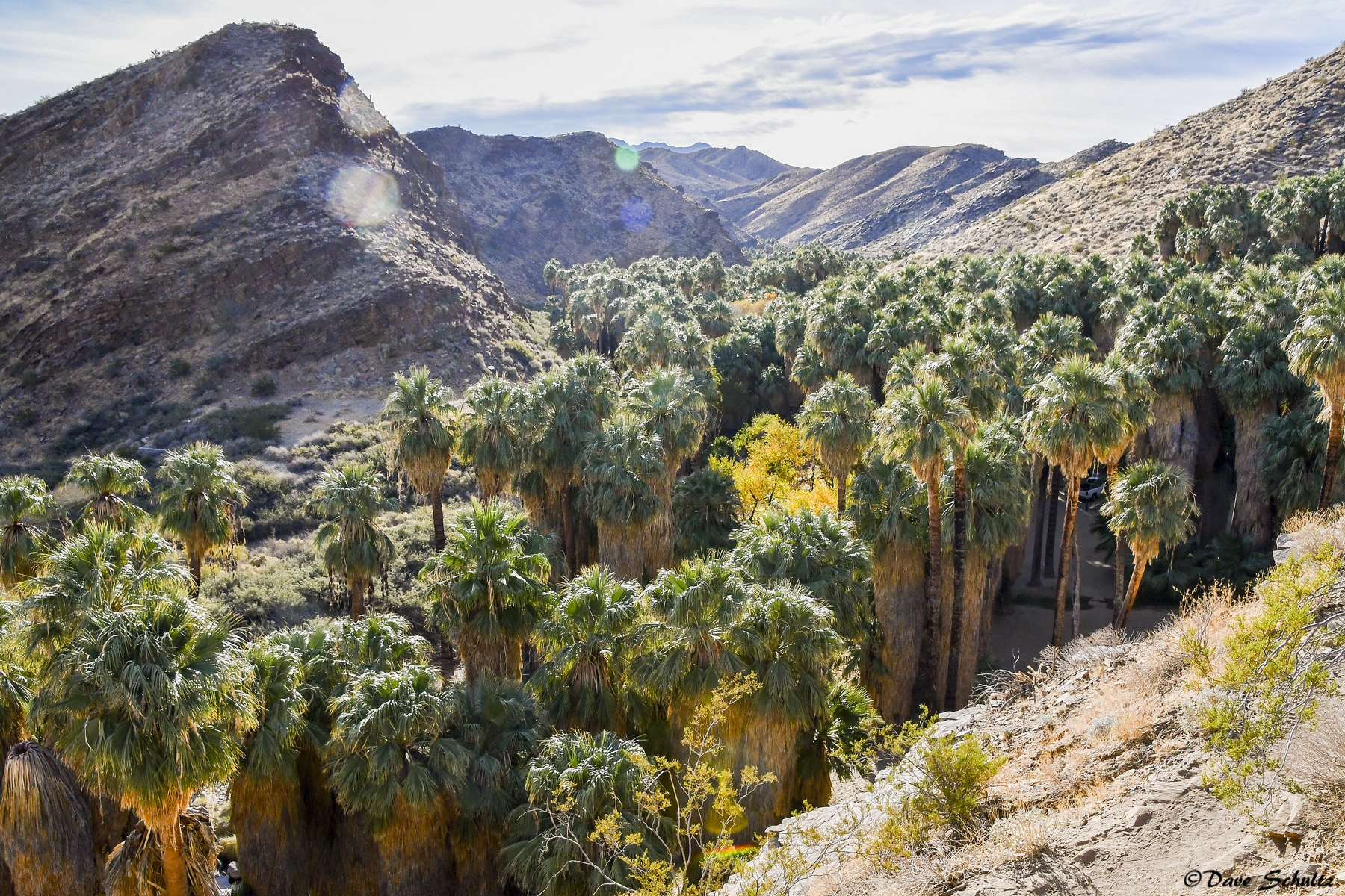
"An oasis in the desert"

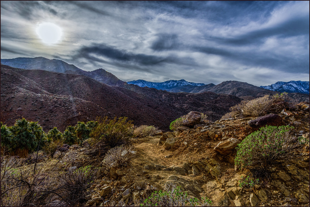
Heading Up the Trail
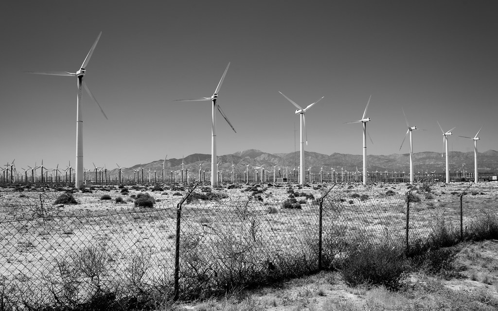
More Wind

Tourists in Andreas Canyon
2017-11-07 11.06.45
Jan0718-001_c
2017-02-11_04-44-33

2017-11-07 11.04.14

Boulders, Sage, and a Cactus
2017-11-07 11.17.32

Camera Roll-95
2017-11-07 11.23.19
2017-11-07 10.29.59
Topographic Map of Eugene Rd, Palm Springs, CA, USA
Find elevation by address:

Places near Eugene Rd, Palm Springs, CA, USA:
770 S Gene Autry Trail
4200 E Palm Canyon Dr
3200 E Tahquitz Canyon Way
232 Del Mar
167 Vista De Oeste
2130 Southridge Dr
67500 E Palm Canyon Dr
2851 Amatista Ct
E Palm Canyon Dr, Cathedral City, CA, USA
1850 Smoke Tree Ln
Smoke Tree Ranch
1650 N Riverside Dr
1441 Ramon Rd
1441 Ramon Rd
1225 E Sunny Dunes Rd
Deepwell Estates
1330 E Palm Canyon Dr
1100 Manzanita Ave
1588 Concha Cir
Cathedral City
Recent Searches:
- Elevation of Corso Fratelli Cairoli, 35, Macerata MC, Italy
- Elevation of Tallevast Rd, Sarasota, FL, USA
- Elevation of 4th St E, Sonoma, CA, USA
- Elevation of Black Hollow Rd, Pennsdale, PA, USA
- Elevation of Oakland Ave, Williamsport, PA, USA
- Elevation of Pedrógão Grande, Portugal
- Elevation of Klee Dr, Martinsburg, WV, USA
- Elevation of Via Roma, Pieranica CR, Italy
- Elevation of Tavkvetili Mountain, Georgia
- Elevation of Hartfords Bluff Cir, Mt Pleasant, SC, USA