Elevation of N Riverside Dr, Palm Springs, CA, USA
Location: United States > California > Riverside County > Palm Springs > Tahquitz River Estates >
Longitude: -116.52893
Latitude: 33.8111266
Elevation: 126m / 413feet
Barometric Pressure: 100KPa
Elevation Map:
Satellite Map:
Related Photos:
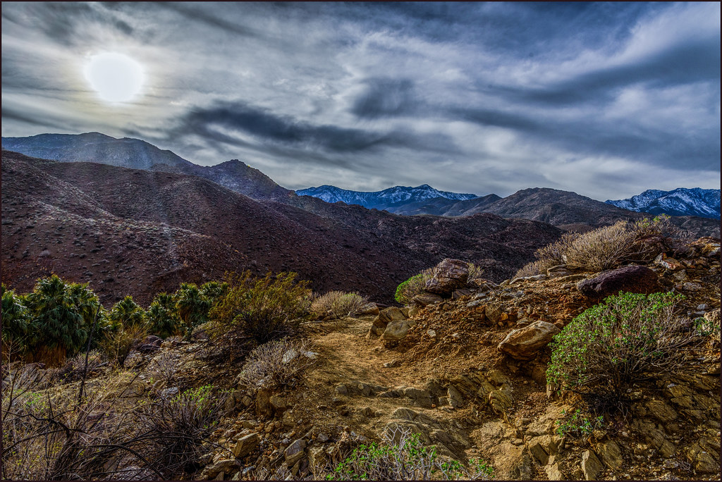
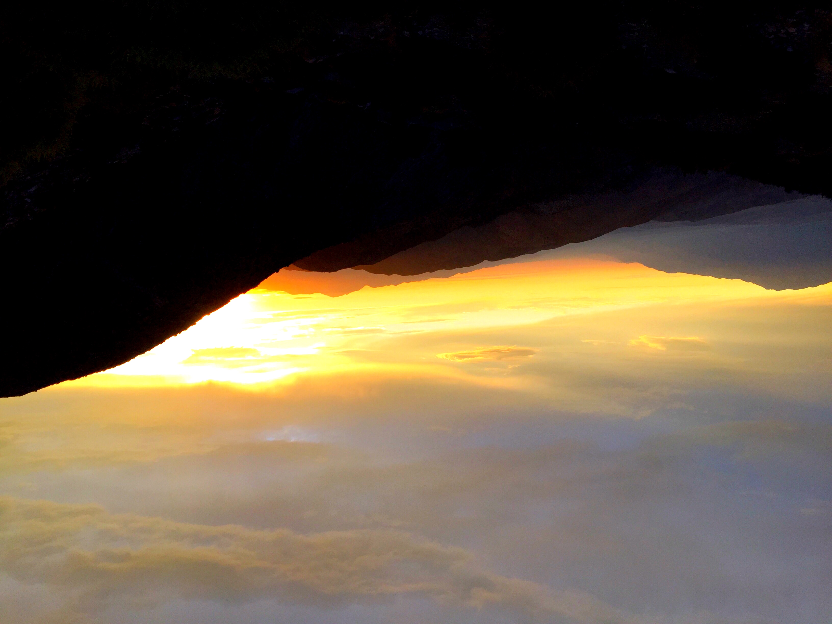
On the Trail

Eastbound Amtrak At Sundown

I Don't Need A Haircut, Mr Tomcat

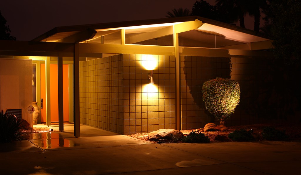
Bring The Old New

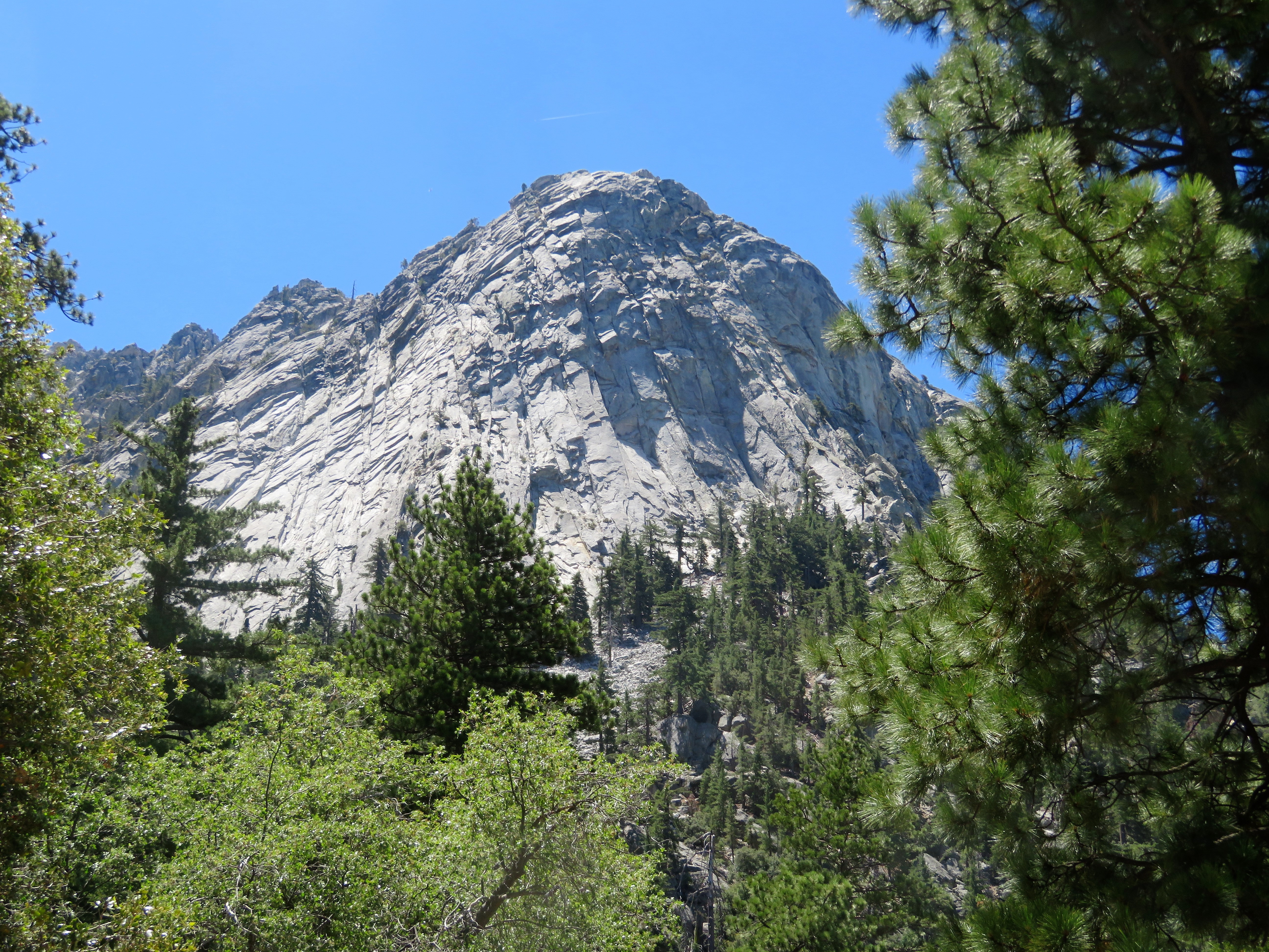
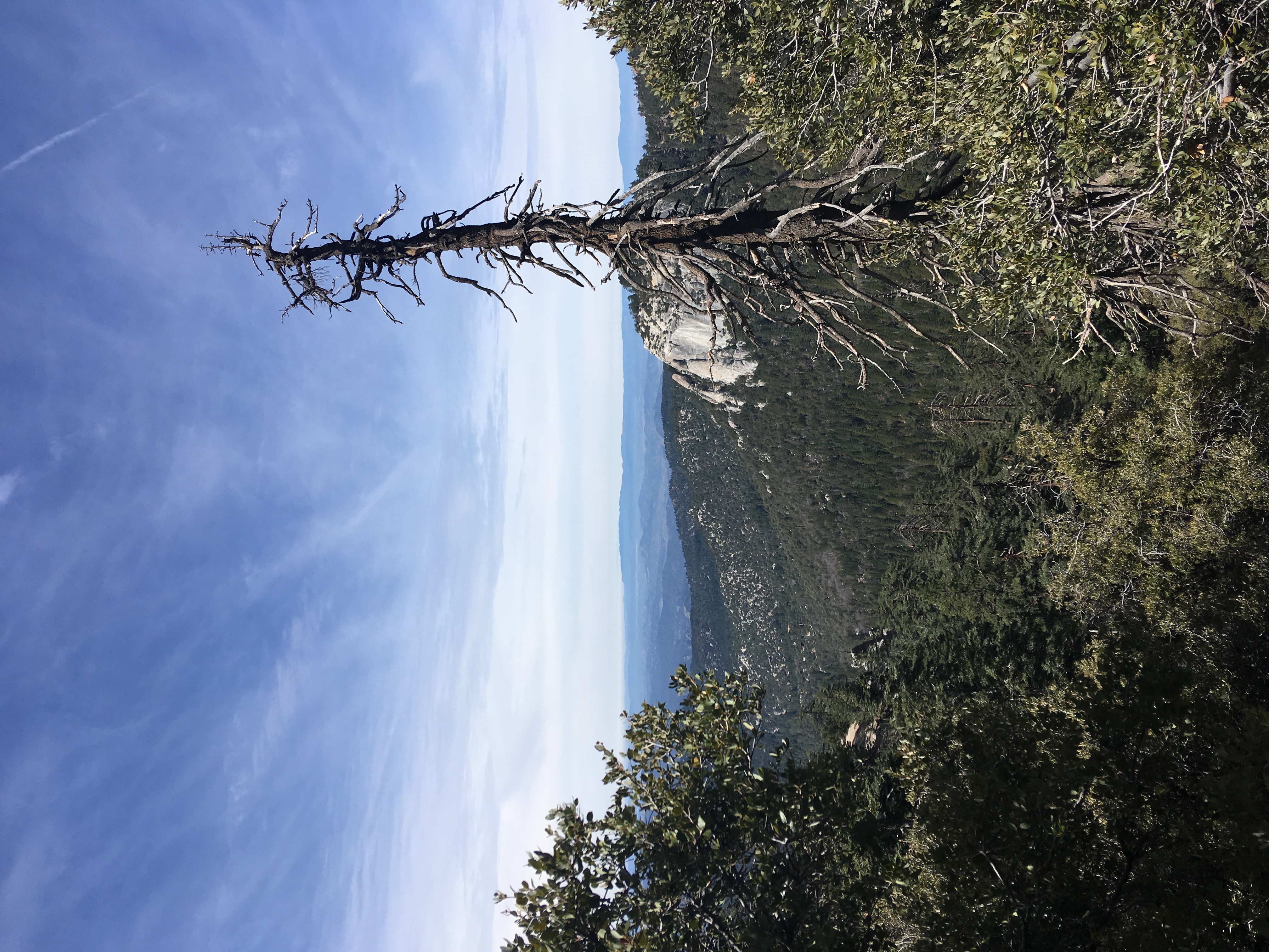
San Jacinto Peak
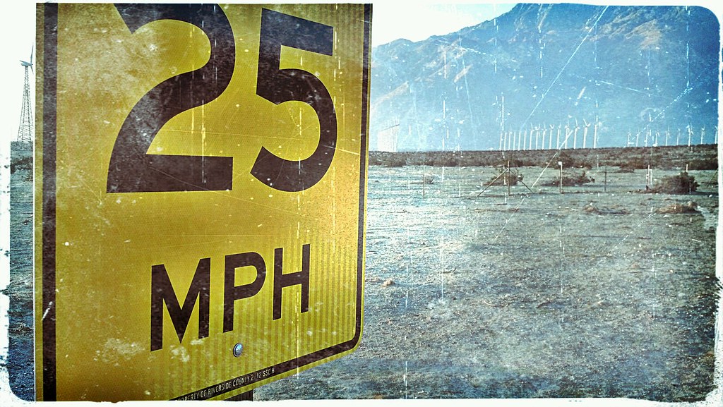
Who Knew, Windmills Have A Speed Limit
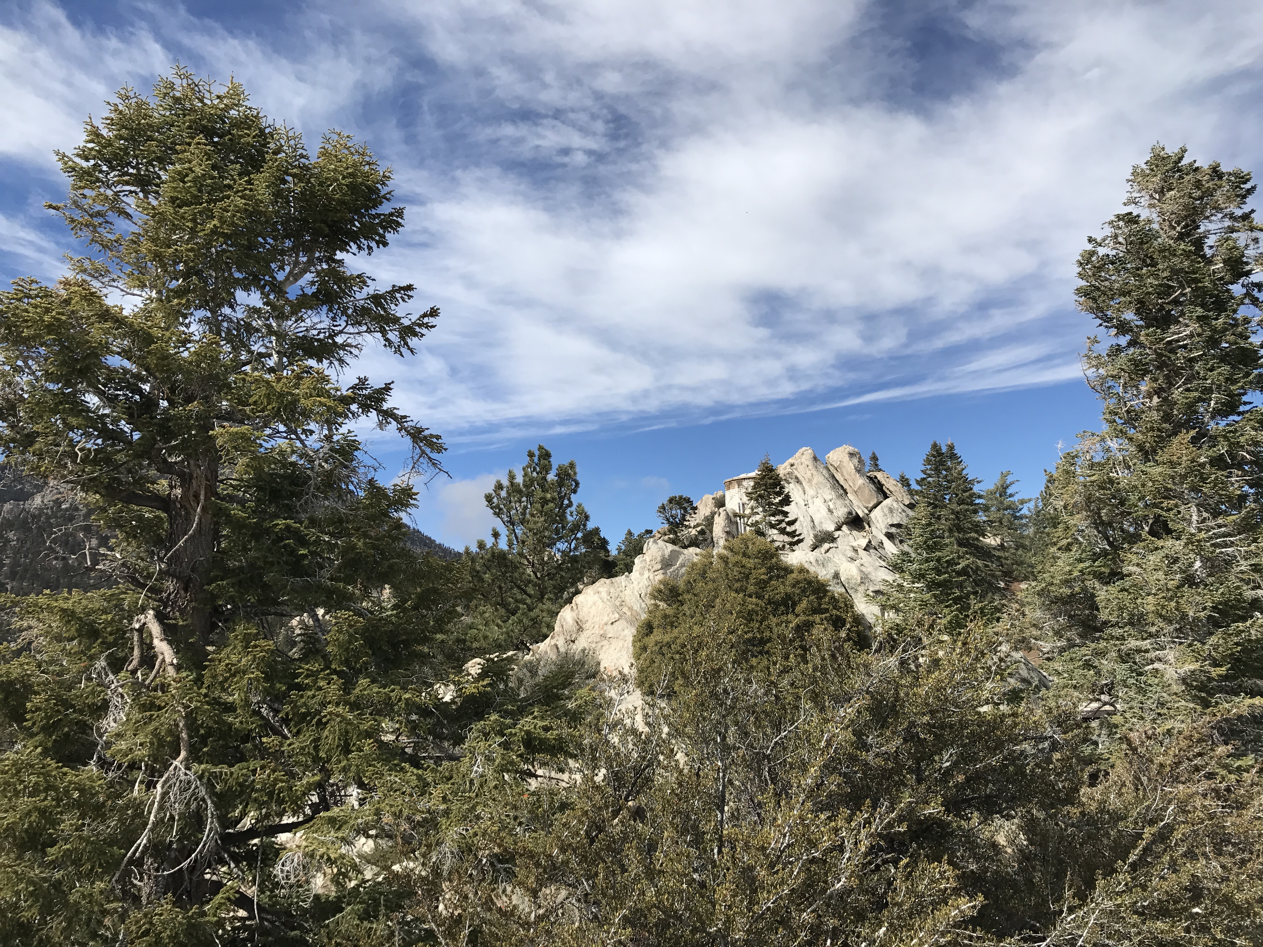
Tahquitz (Lily) Rock

Are Photographs Of Planes A Cliche?

The view for the afternoon. #psmodsquad
It's Palm Springs Modernism Week!
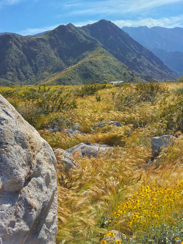
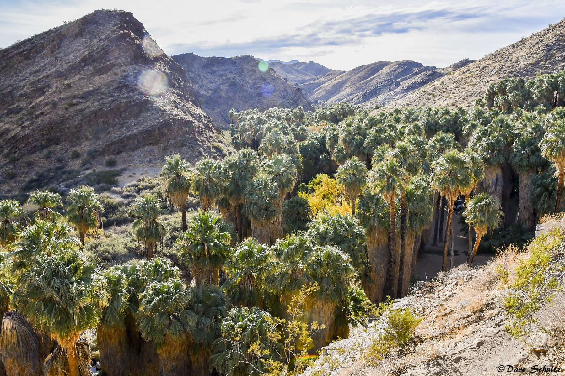
Palm Canyon

If Your Gonna Put A Chain In Front Of Me
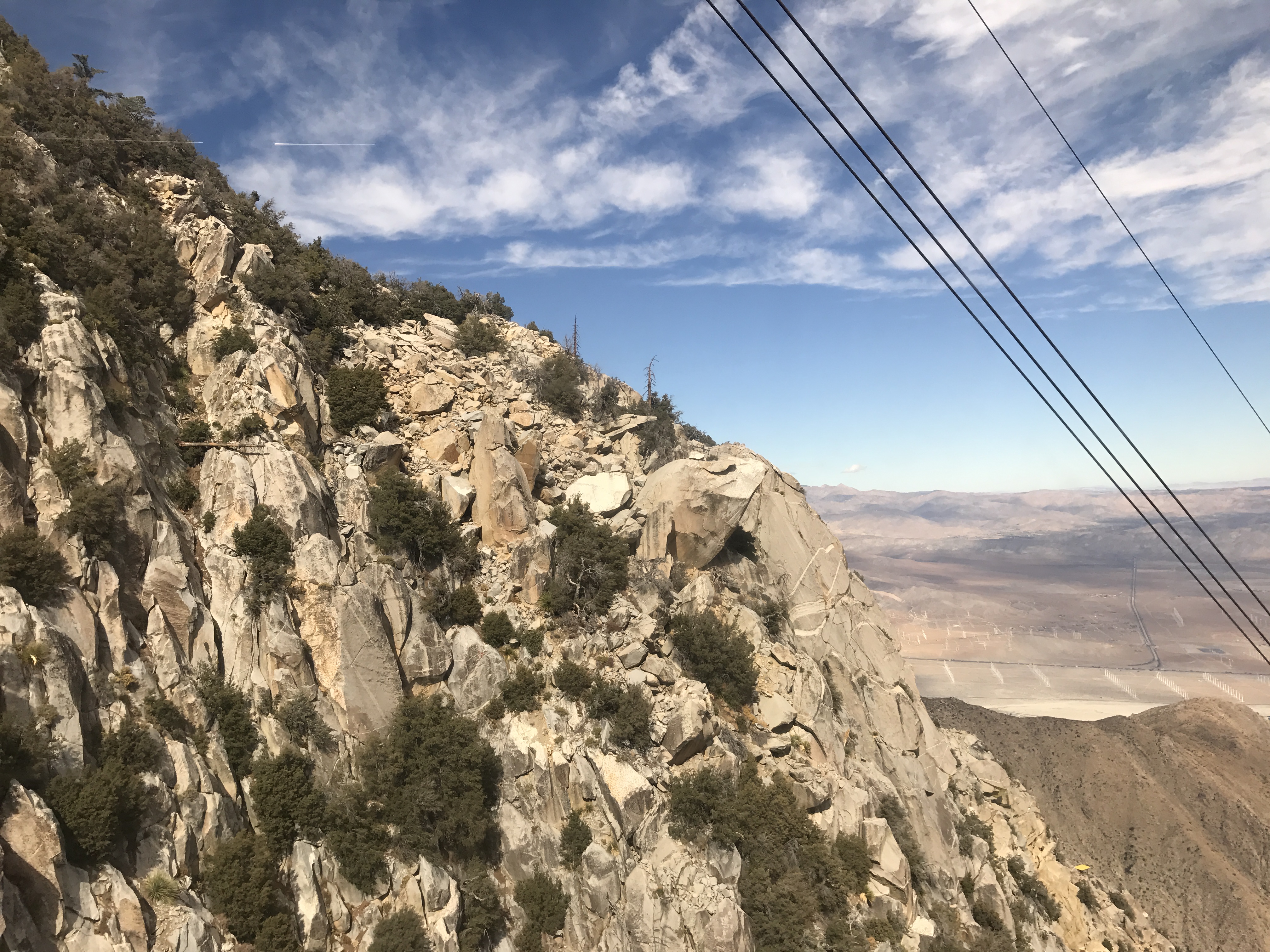
Stacked Vistas

Palm Springs Aviation Expo 2014
Museum Trail View

Swimming Among The Clouds
Retroactive post: View from the pool
Golden hour at Keys View

Don't Carry Me Too Far Away

Low Flying

Palm Springs Panorama

San Bernardino
San Bernardino
Another Distant View of the Mirage

Heading Up the Trail

Tahquitz Canyon mural 1

Tourists in Andreas Canyon
2017-11-07 11.06.45
2017-11-07 11.21.34
Jan0718-001_c
2017-02-11_04-44-33
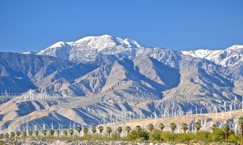
snow capped and wind farmed San Bernardino Mountains, north Palm Springs, San Gorgonio Pass Wind Farm,

2017-11-07 11.04.14

Boulders, Sage, and a Cactus
Lots of snow in the mountains.
#tiltedpaintingday #TheGoat????Trail #superbloom #thehillsarealive #paintedclouds #wildflowers #omroamsuccess #kamaprana
2017-11-07 11.17.32

Camera Roll-95
Topographic Map of N Riverside Dr, Palm Springs, CA, USA
Find elevation by address:

Places near N Riverside Dr, Palm Springs, CA, USA:
1225 E Sunny Dunes Rd
1441 Ramon Rd
1441 Ramon Rd
1100 Manzanita Ave
Deepwell Estates
East Sunny Dunes Road
1330 E Palm Canyon Dr
Santiago Resort
Tahquitz River Estates
219 E Palo Verde Ave
1850 Smoke Tree Ln
Smoke Tree Ranch
2851 Amatista Ct
1588 Concha Cir
200 W Ramon Rd
1144 Surrey Ln
339 S Belardo Rd
3200 E Tahquitz Canyon Way
200 W Arenas Rd
224 E Amado Rd
Recent Searches:
- Elevation of Corso Fratelli Cairoli, 35, Macerata MC, Italy
- Elevation of Tallevast Rd, Sarasota, FL, USA
- Elevation of 4th St E, Sonoma, CA, USA
- Elevation of Black Hollow Rd, Pennsdale, PA, USA
- Elevation of Oakland Ave, Williamsport, PA, USA
- Elevation of Pedrógão Grande, Portugal
- Elevation of Klee Dr, Martinsburg, WV, USA
- Elevation of Via Roma, Pieranica CR, Italy
- Elevation of Tavkvetili Mountain, Georgia
- Elevation of Hartfords Bluff Cir, Mt Pleasant, SC, USA